Elevation of State Highway, State Hwy, Oregon, USA
Location: United States > Oregon > Jackson County > Gold Hill >
Longitude: -123.04129
Latitude: 42.4303909
Elevation: -10000m / -32808feet
Barometric Pressure: 295KPa
Elevation Map:
Satellite Map:
Related Photos:

Jacksonville Viewpoint

Harnessing the sun
The View from Here.

Lower Table Rock and Barn from I-5

View of Medford Oregon from Upper Table Rock, looking South.
View from a porch. On our way to first @harryanddavid related dinner

View from the Rich Gulch Trail

Lovely view of i-5

Magnolia Inn - Street View

Life on the farm definitely comes with a beautiful view.
Table Rocks

MFR14JUL92 02

Nunan House
Bullock's Oriole (Icterus bullockii)

Ruby-crowned Kinglet (Regulus calendula)

Jacksonville, Oregon

Crater View Panorama

View from White City OR Motel of Mt McLoughlin

Puddles of Gold
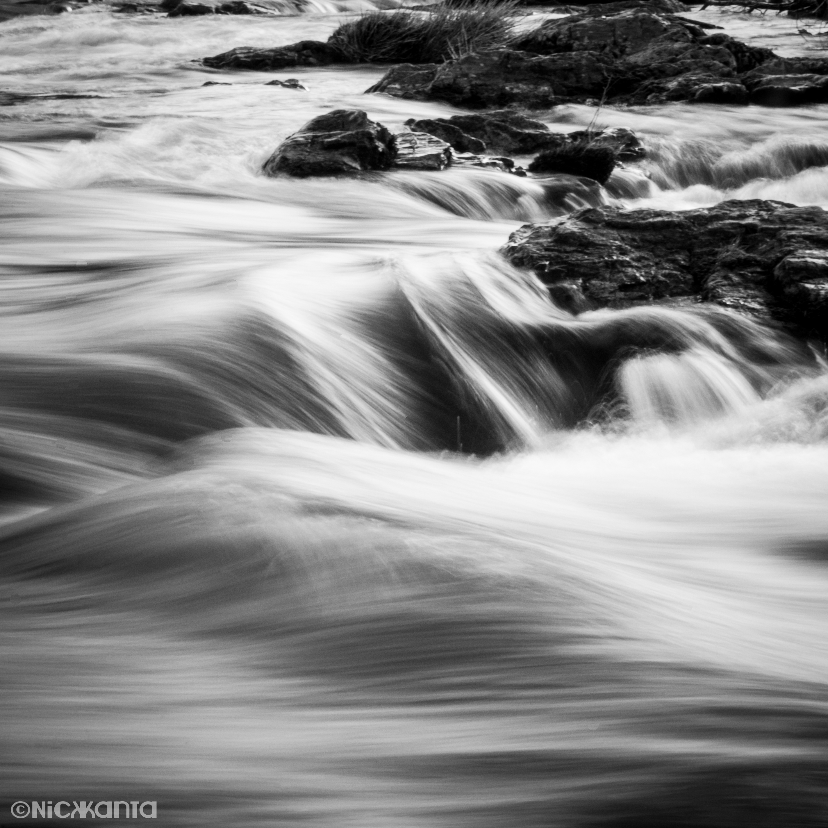
Silver Stream

Southern Oregon

The Rogue River

Hiking Upper Table Rock

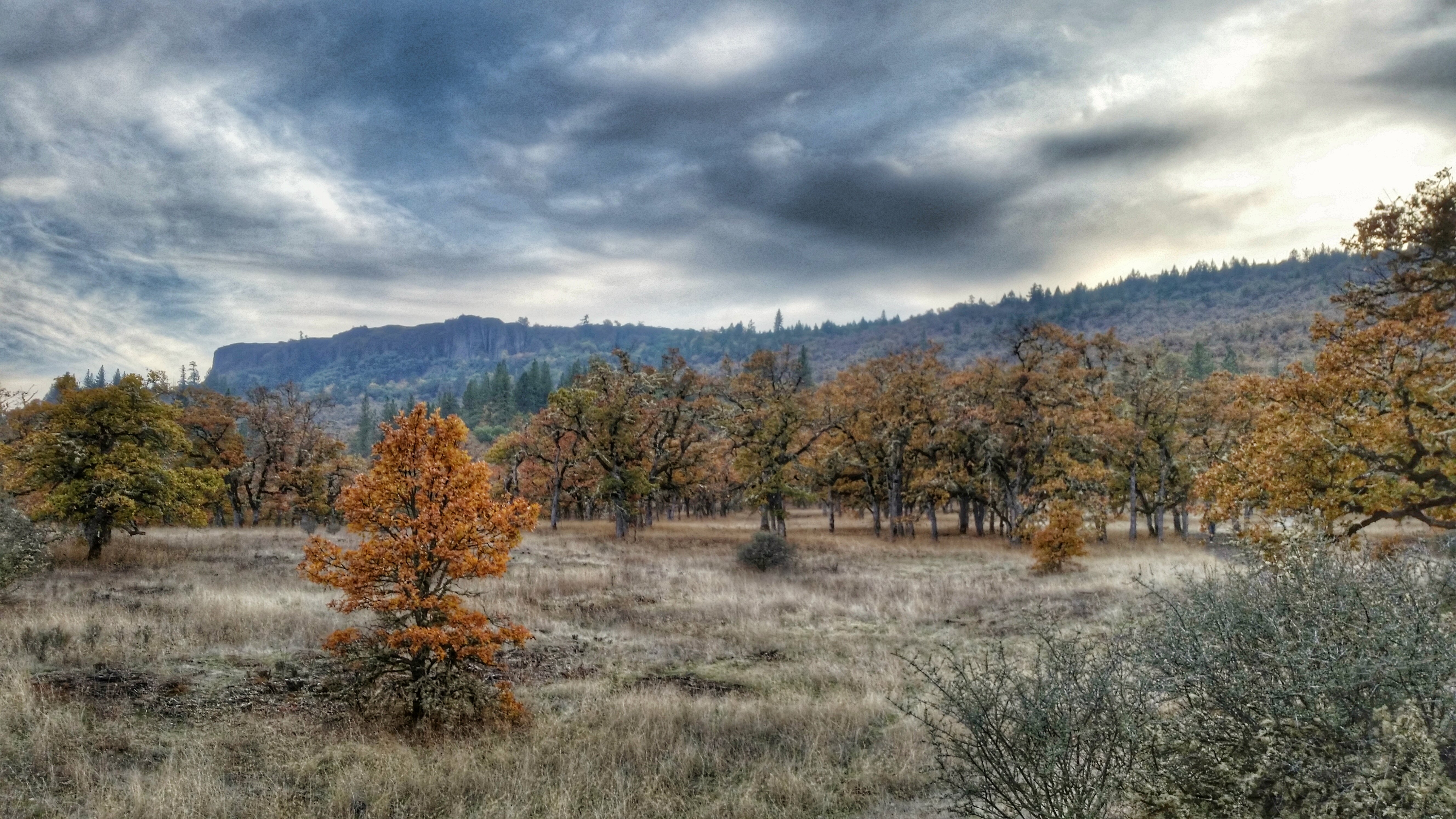
Fall Foliage Jacksonville Oregon

~~RoGuE RiVeR, OrEGoN #3~~

Roundup: JB Dimick readies cows and calves for new pasture. Eagle Point, Oregon 5:14 p.m. 5/11/16

Oregon Caves

sentinel of wide open spaces

Mount McLoughlin

Siskiyou Mountains

2009 Cali Road Trip - 006

path though trees

Golden Hue

N603AX 10 Tanker Air Carrier DC-10 Tanker 914
Hiking Lower Table Rock

Hiking Lower Table Rock
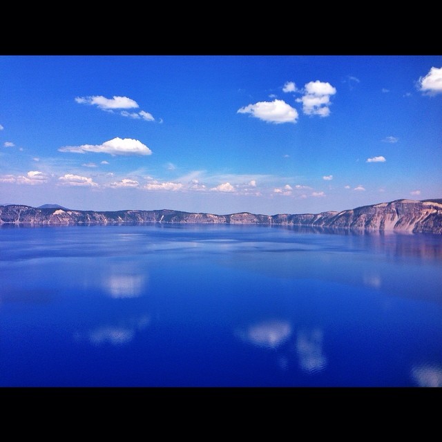
Crater Lake
Topographic Map of State Highway, State Hwy, Oregon, USA
Find elevation by address:

Places near State Highway, State Hwy, Oregon, USA:
10413 Blackwell Rd
99 Dean Dr
Sams Valley Rd, Gold Hill, OR, USA
3100 Willow Springs Rd
3606 Old Military Rd
3346 Old Military Rd
3343 Old Stage Rd
5090 Rock Way
955 N 5th St
Upper Table Rock
Central Point
444 Manzanita St
116 N 10th St
1410 Timothy St
5585 Table Rock Rd
859 Forest Glen Dr
600 Airport Rd
Rogue Valley International-medford Airport
3630 Aviation Way
1590 Delta Waters Rd
Recent Searches:
- Elevation of Elwyn Dr, Roanoke Rapids, NC, USA
- Elevation of Congressional Dr, Stevensville, MD, USA
- Elevation of Bellview Rd, McLean, VA, USA
- Elevation of Stage Island Rd, Chatham, MA, USA
- Elevation of Shibuya Scramble Crossing, 21 Udagawacho, Shibuya City, Tokyo -, Japan
- Elevation of Jadagoniai, Kaunas District Municipality, Lithuania
- Elevation of Pagonija rock, Kranto 7-oji g. 8"N, Kaunas, Lithuania
- Elevation of Co Rd 87, Jamestown, CO, USA
- Elevation of Tenjo, Cundinamarca, Colombia
- Elevation of Côte-des-Neiges, Montreal, QC H4A 3J6, Canada