Elevation of Aviation Way, Medford, OR, USA
Location: United States > Oregon > Jackson County > Medford >
Longitude: -122.86167
Latitude: 42.3687814
Elevation: 403m / 1322feet
Barometric Pressure: 97KPa
Elevation Map:
Satellite Map:
Related Photos:

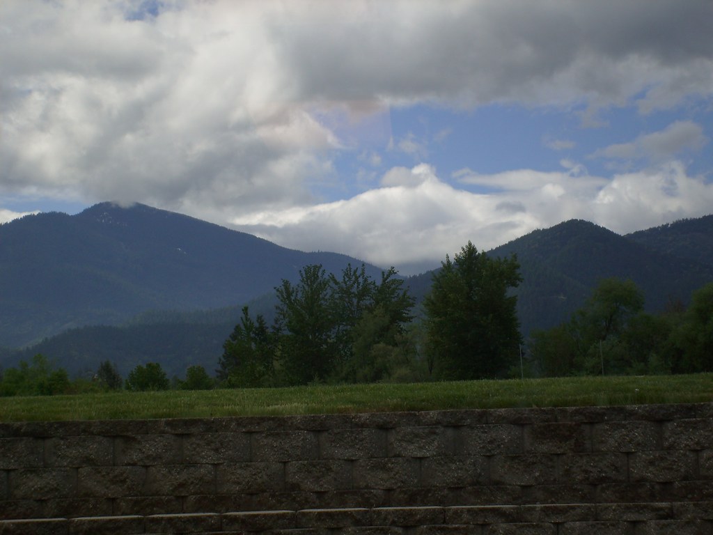
manor view
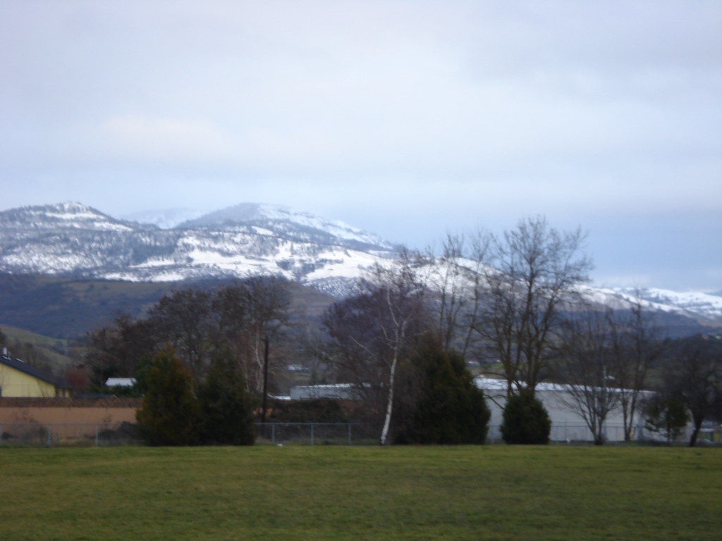
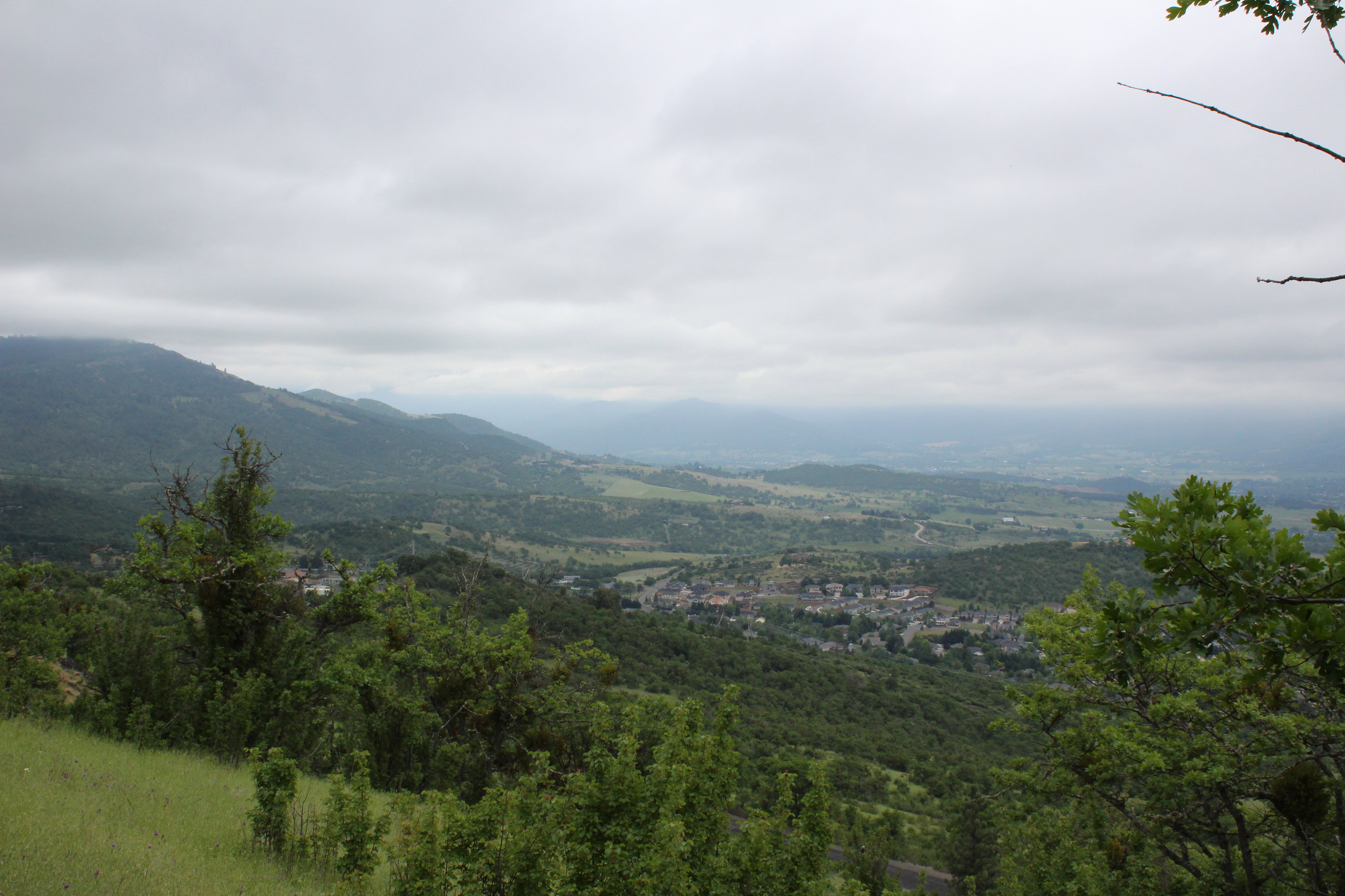
the view from school

View from Tablerock
Jacksonville Viewpoint
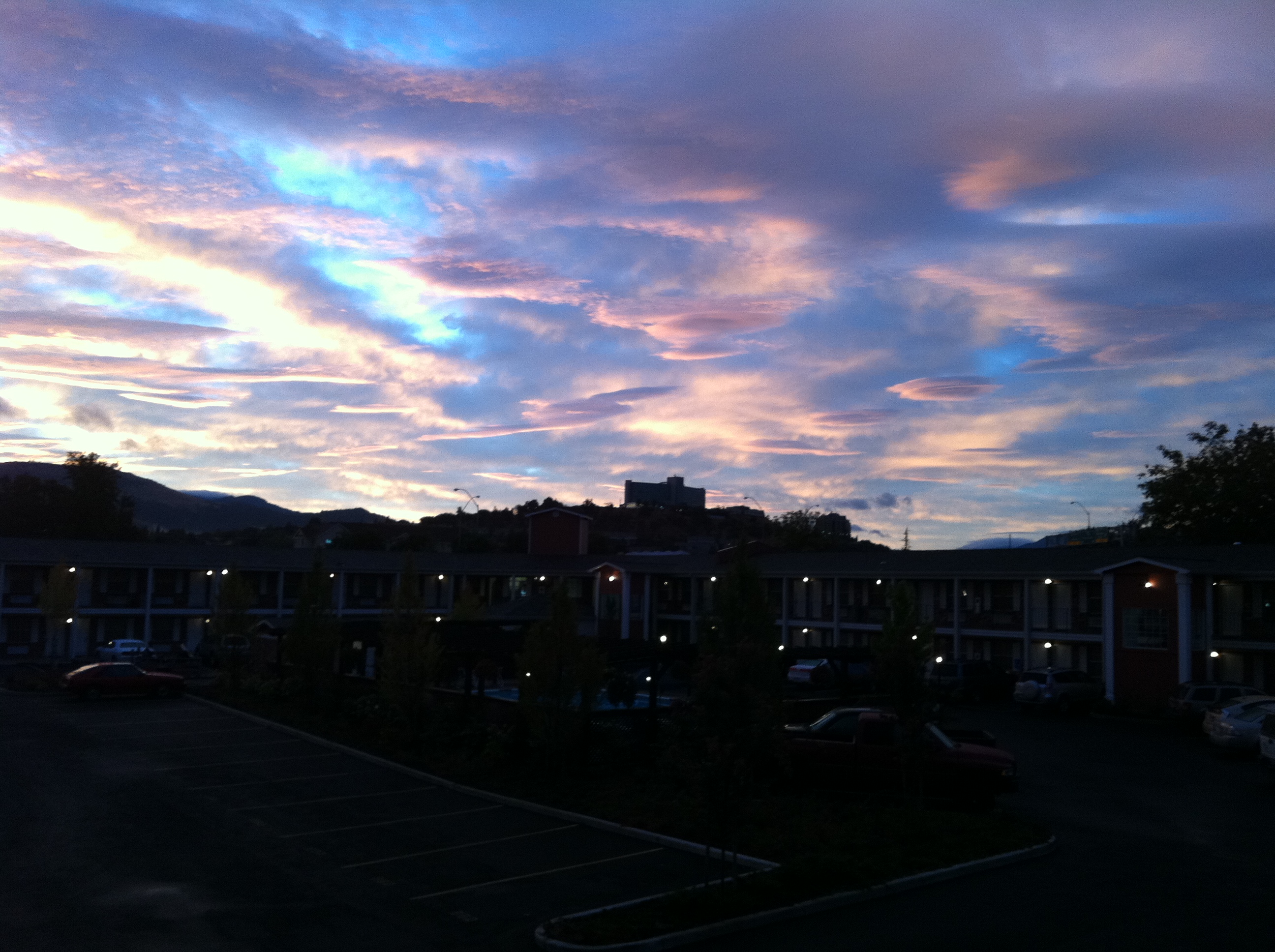
view from hotel2

Lower Table Rock and Barn from I-5
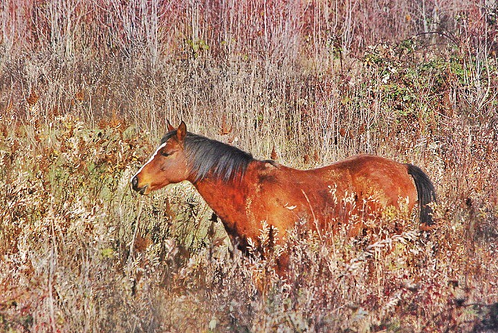
horse in tall grass
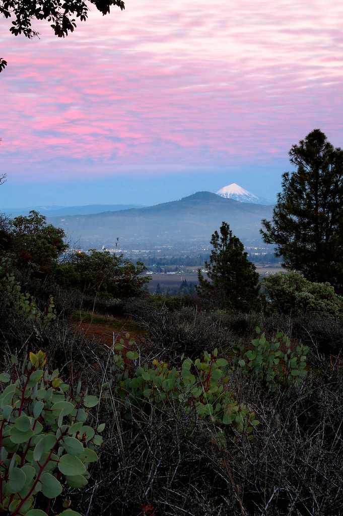
Siskiyous, from my window

Oriental Poppies

Harnessing the sun
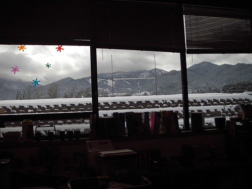
classroom view

Sunrise from the Columbia river gorge

Walking with the shutter open

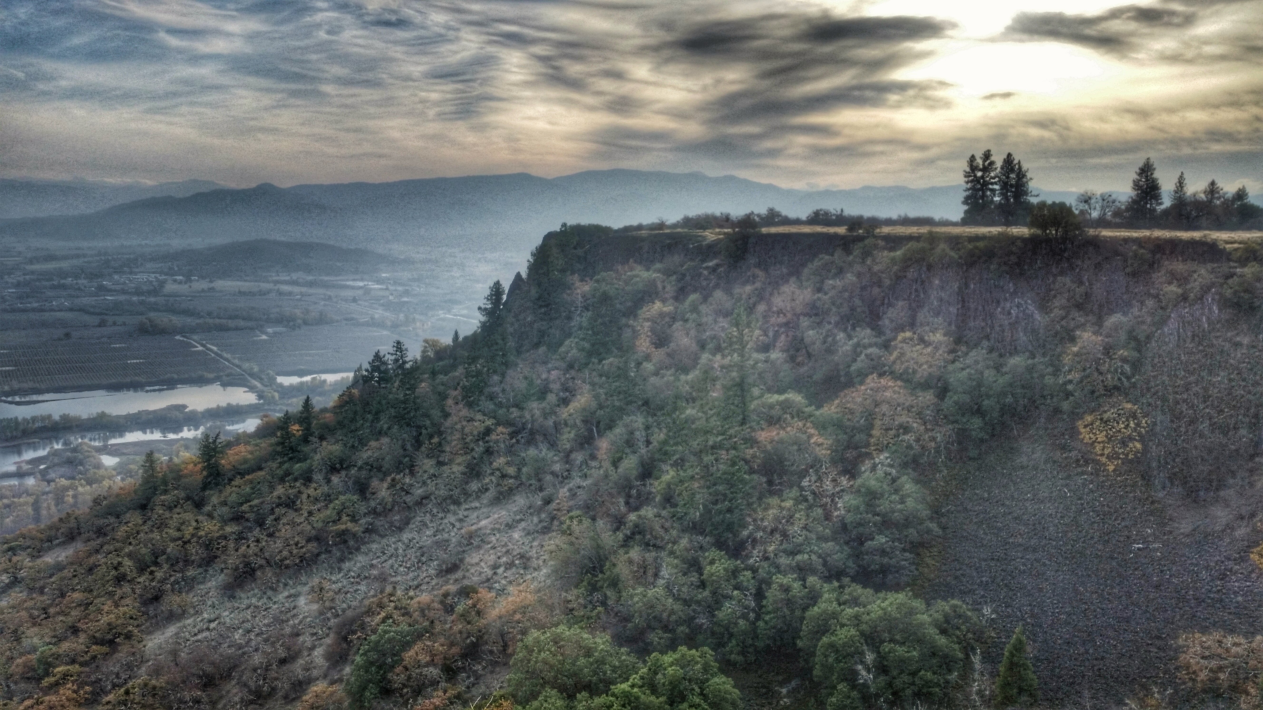
View of Medford Oregon from Upper Table Rock, looking South.

This was my view for one very unpleasant meal
View from the Rich Gulch Trail
Clouds took away the mountain views

Love the view up here.

classroom view, detail
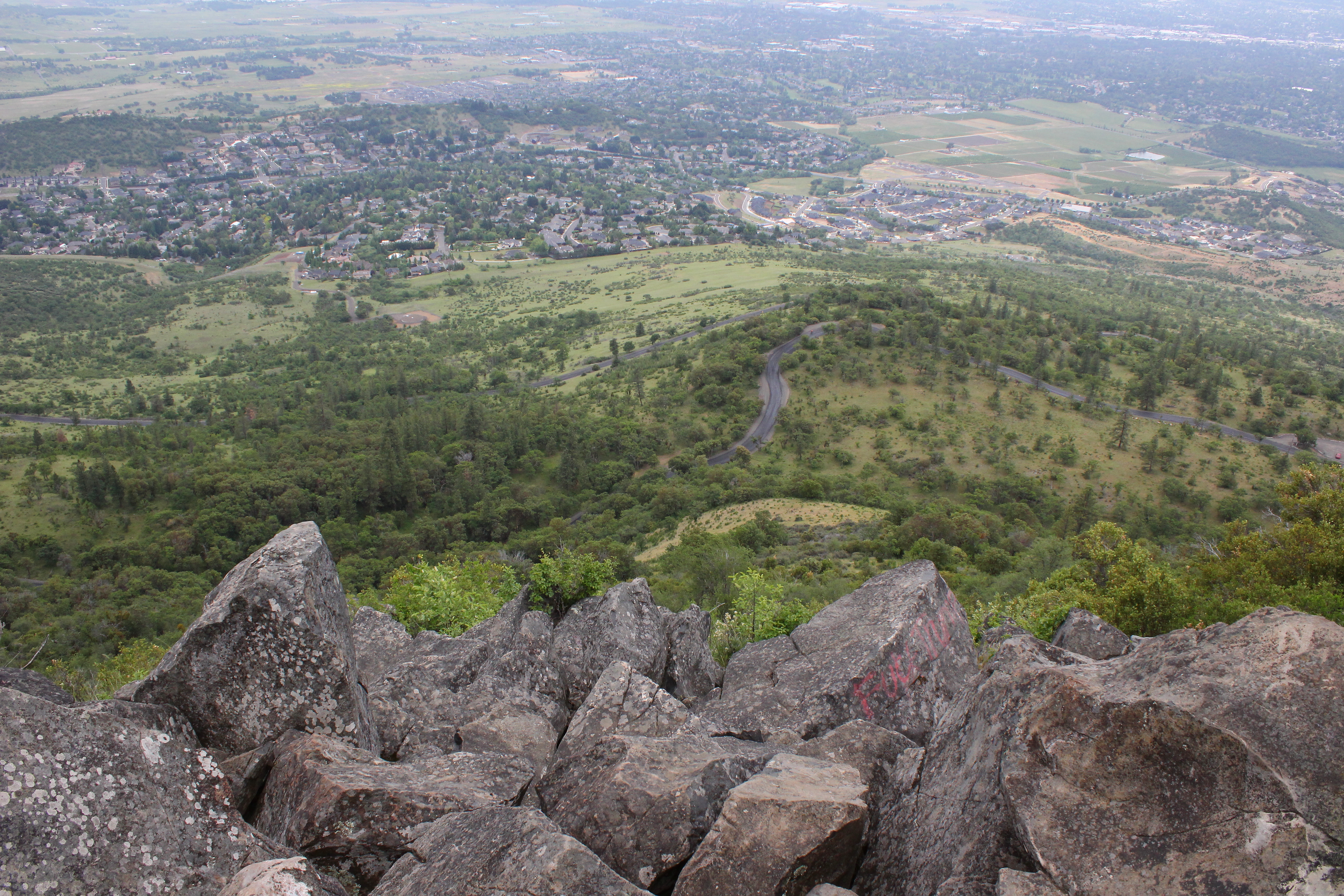
The view from Roxy Ann Peak's summit
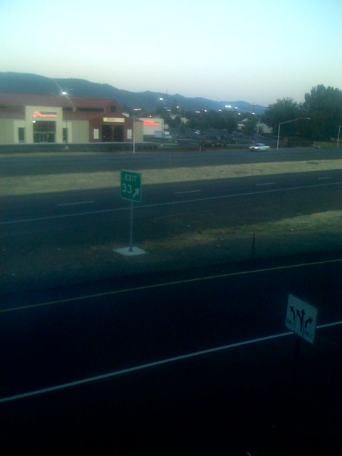
Lovely view of i-5

Siskiyou Sunset

Hiking Upper Table Rock

Fall Foliage Jacksonville Oregon

Roundup: JB Dimick readies cows and calves for new pasture. Eagle Point, Oregon 5:14 p.m. 5/11/16

Bear Creek Pond

Frosty Morning Sunrise
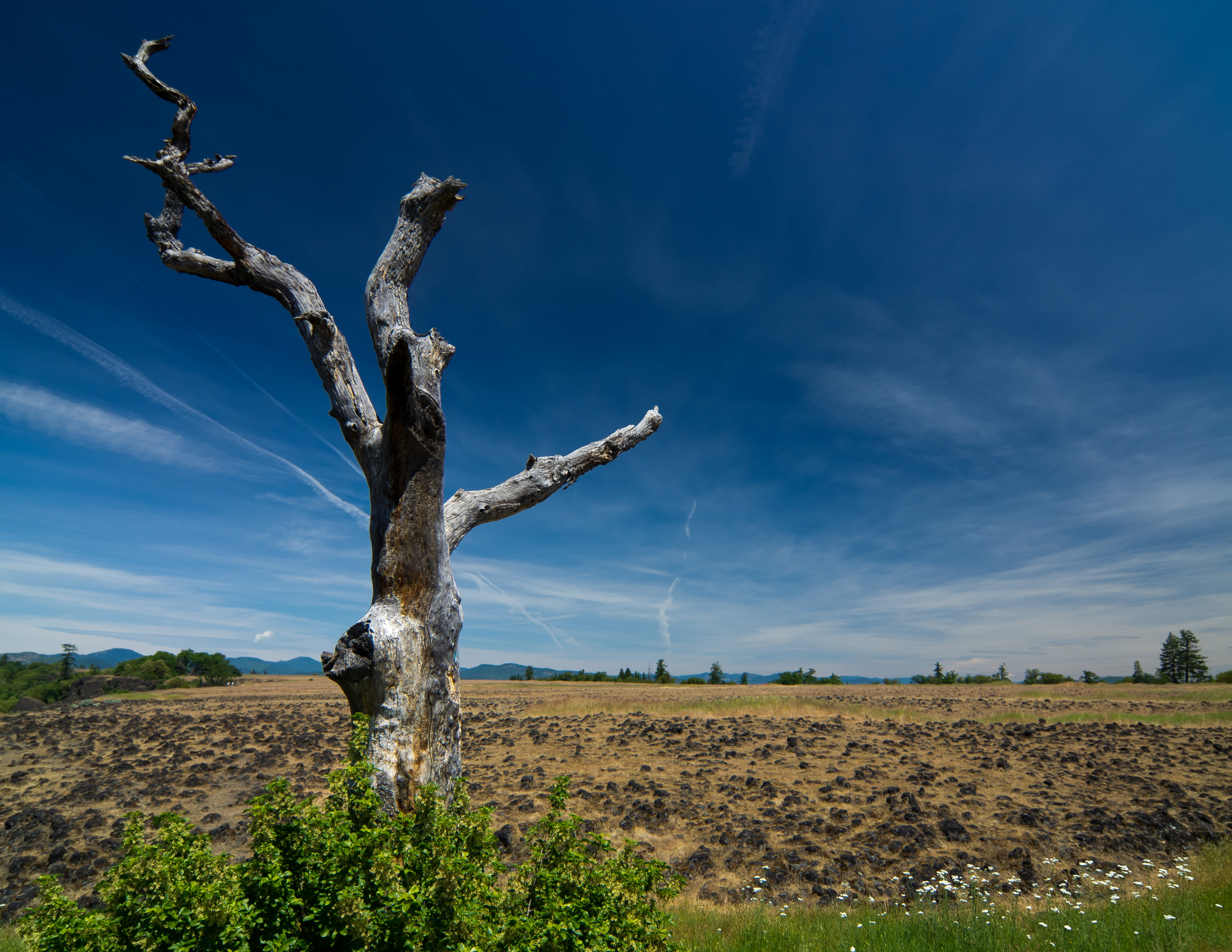
sentinel of wide open spaces

Rogue Valley Sunset
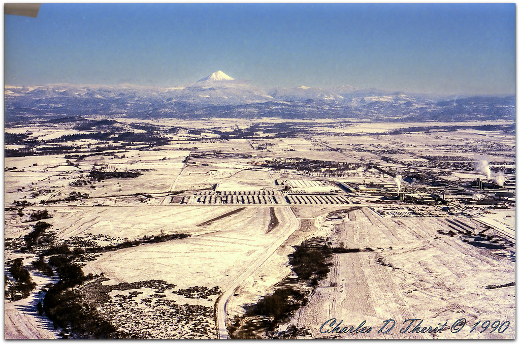
Mount McLoughlin

-

Siskiyou Mountains

around sunset, last night. Rogue River.

Summer 2014

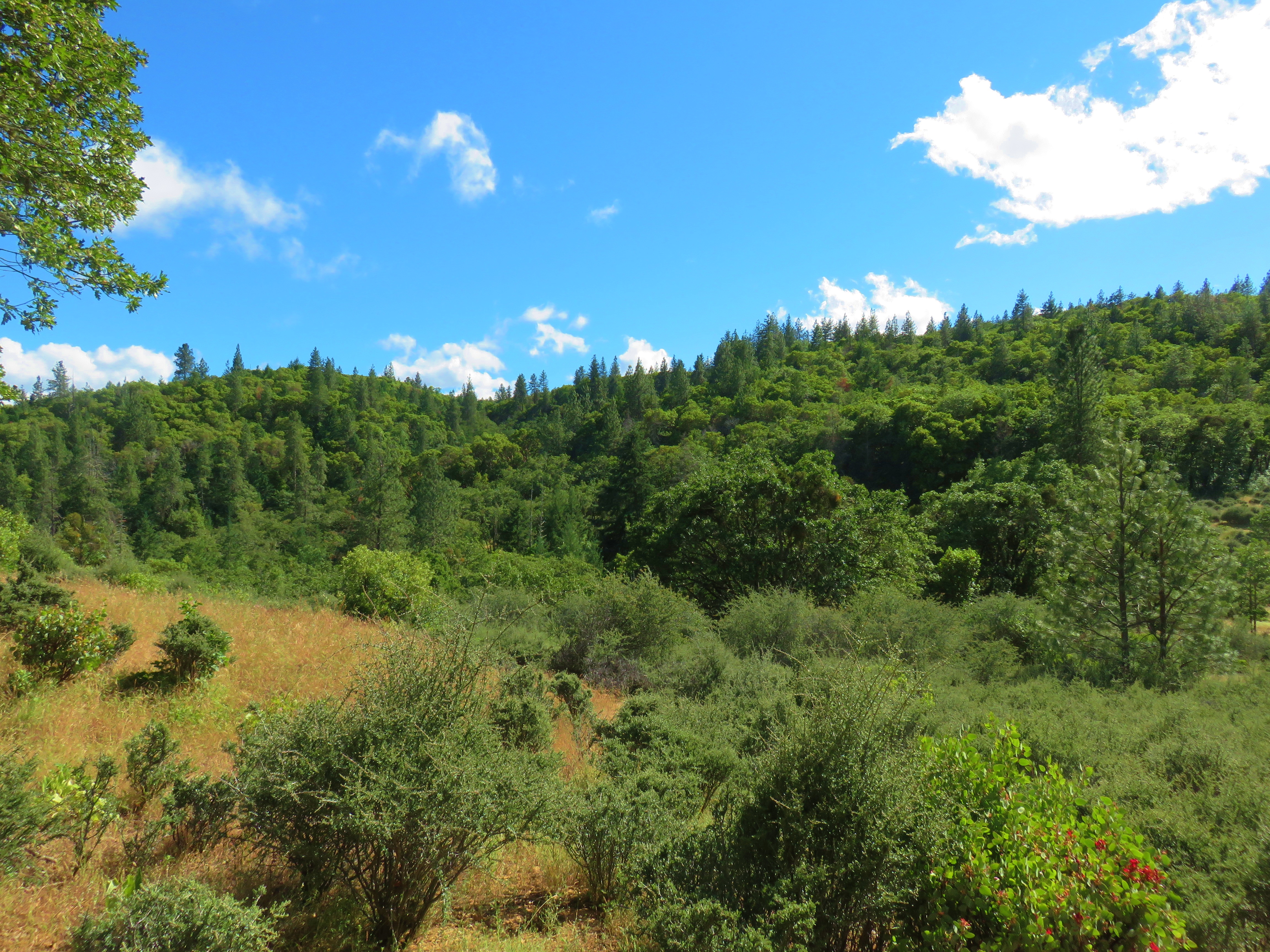
path though trees
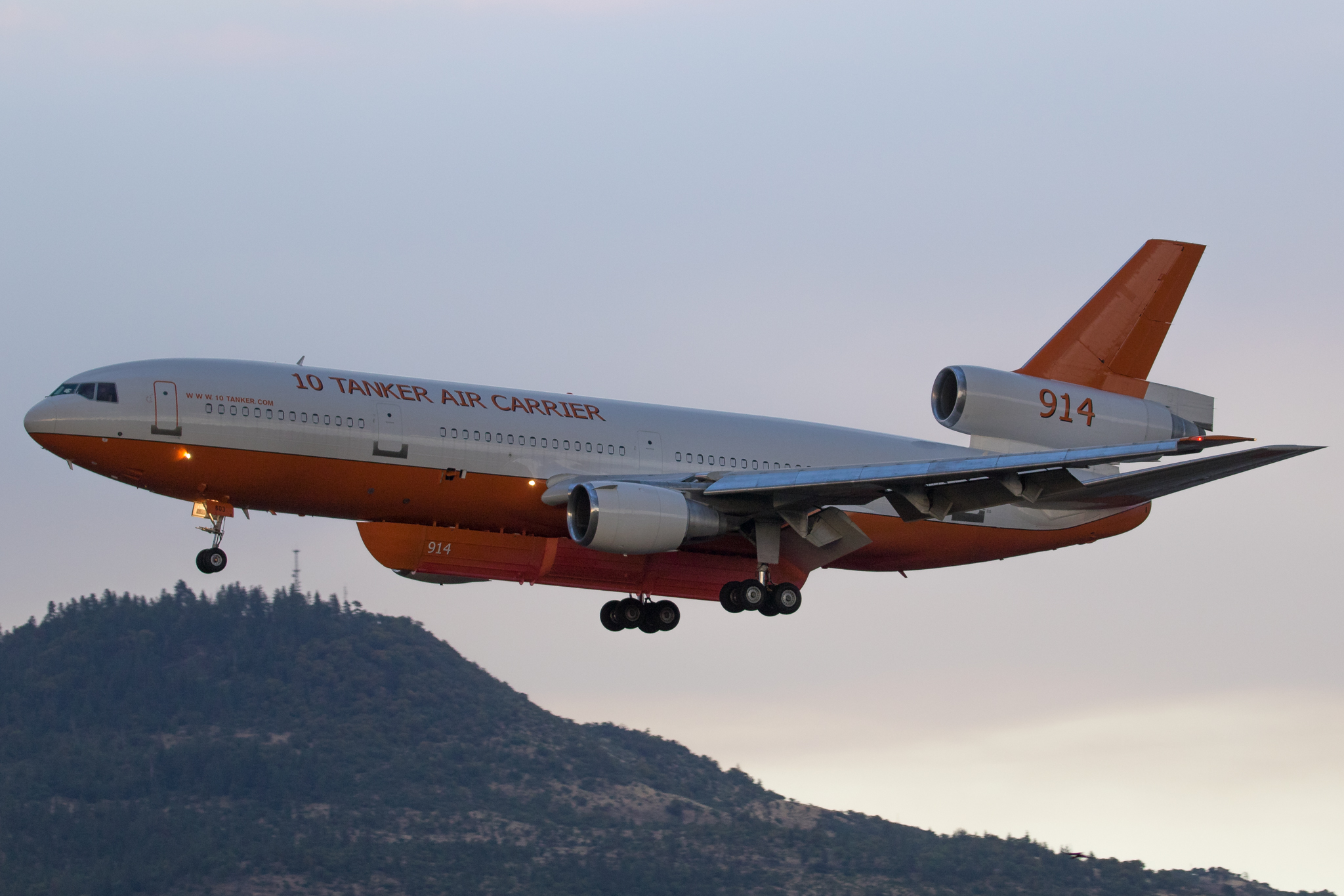
N603AX 10 Tanker Air Carrier DC-10 Tanker 914

N374AC AeroFlite Avro RJ85 Tanker 164

Crater Lake
Hiking Lower Table Rock

#RoadTrip #PNW #Oregon #CraterLake #Explore #Trails #Photography #SpringBreak #Spring #WestCoast #NationalPark #BeFunky
Topographic Map of Aviation Way, Medford, OR, USA
Find elevation by address:

Places near Aviation Way, Medford, OR, USA:
1590 Delta Waters Rd
Rogue Valley International-medford Airport
600 Airport Rd
4902 Mcloughlin Dr
859 Forest Glen Dr
5585 Table Rock Rd
116 N 10th St
1410 Timothy St
444 Manzanita St
Central Point
955 N 5th St
4130 Dry Creek Rd
5090 Rock Way
Gladstone Ave, White City, OR, USA
White City
3600 Ave G
3343 Old Stage Rd
3100 Willow Springs Rd
3346 Old Military Rd
3606 Old Military Rd
Recent Searches:
- Elevation of Côte-des-Neiges, Montreal, QC H4A 3J6, Canada
- Elevation of Bobcat Dr, Helena, MT, USA
- Elevation of Zu den Ihlowbergen, Althüttendorf, Germany
- Elevation of Badaber, Peshawar, Khyber Pakhtunkhwa, Pakistan
- Elevation of SE Heron Loop, Lincoln City, OR, USA
- Elevation of Slanický ostrov, 01 Námestovo, Slovakia
- Elevation of Spaceport America, Co Rd A, Truth or Consequences, NM, USA
- Elevation of Warwick, RI, USA
- Elevation of Fern Rd, Whitmore, CA, USA
- Elevation of 62 Abbey St, Marshfield, MA, USA