Elevation of White City, OR, USA
Location: United States > Oregon > Jackson County >
Longitude: -122.83544
Latitude: 42.431618
Elevation: 409m / 1342feet
Barometric Pressure: 97KPa
Elevation Map:
Satellite Map:
Related Photos:

View from Tablerock
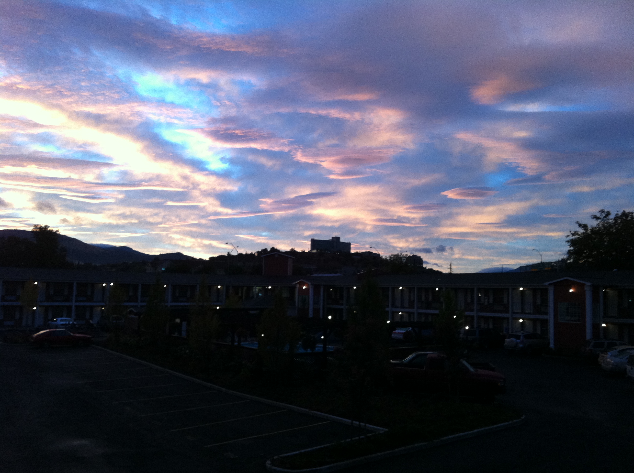
view from hotel2
The view from the top. Here to preach

view from hotel3

view from hotel
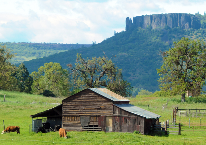
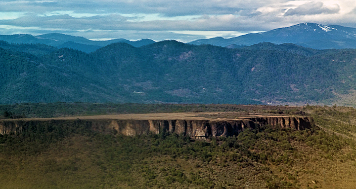
Lower Table Rock and Barn from I-5

DAY 36/365: Salvage Yard Rothko

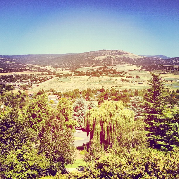
manor view

Harnessing the sun
View of the lake

horse in tall grass

Sunset, Night -1... - Cycle Oregon 2009

Sunrise from the Columbia river gorge

DAY 41/365: Shank's Pony

Walking with the shutter open

This was my view for one very unpleasant meal

View of Medford Oregon from Upper Table Rock, looking South.

CA Trip Day 12: Motel Curtains

Love the view up here.
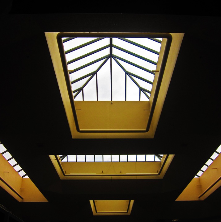
symmetry in skylights

6/365 — It's Portlandia!

Hiking Upper Table Rock
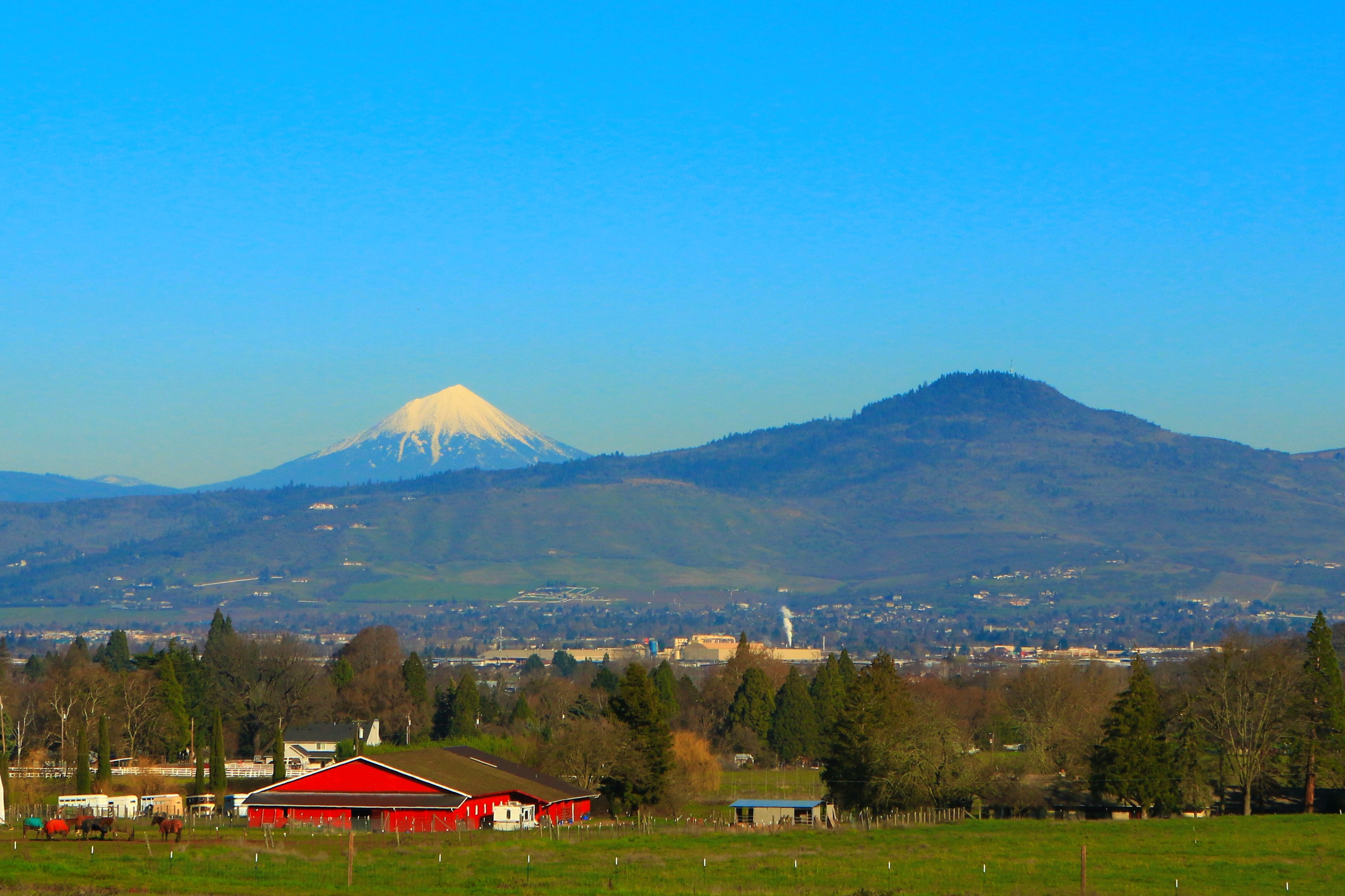
Rogue Valley Oregon
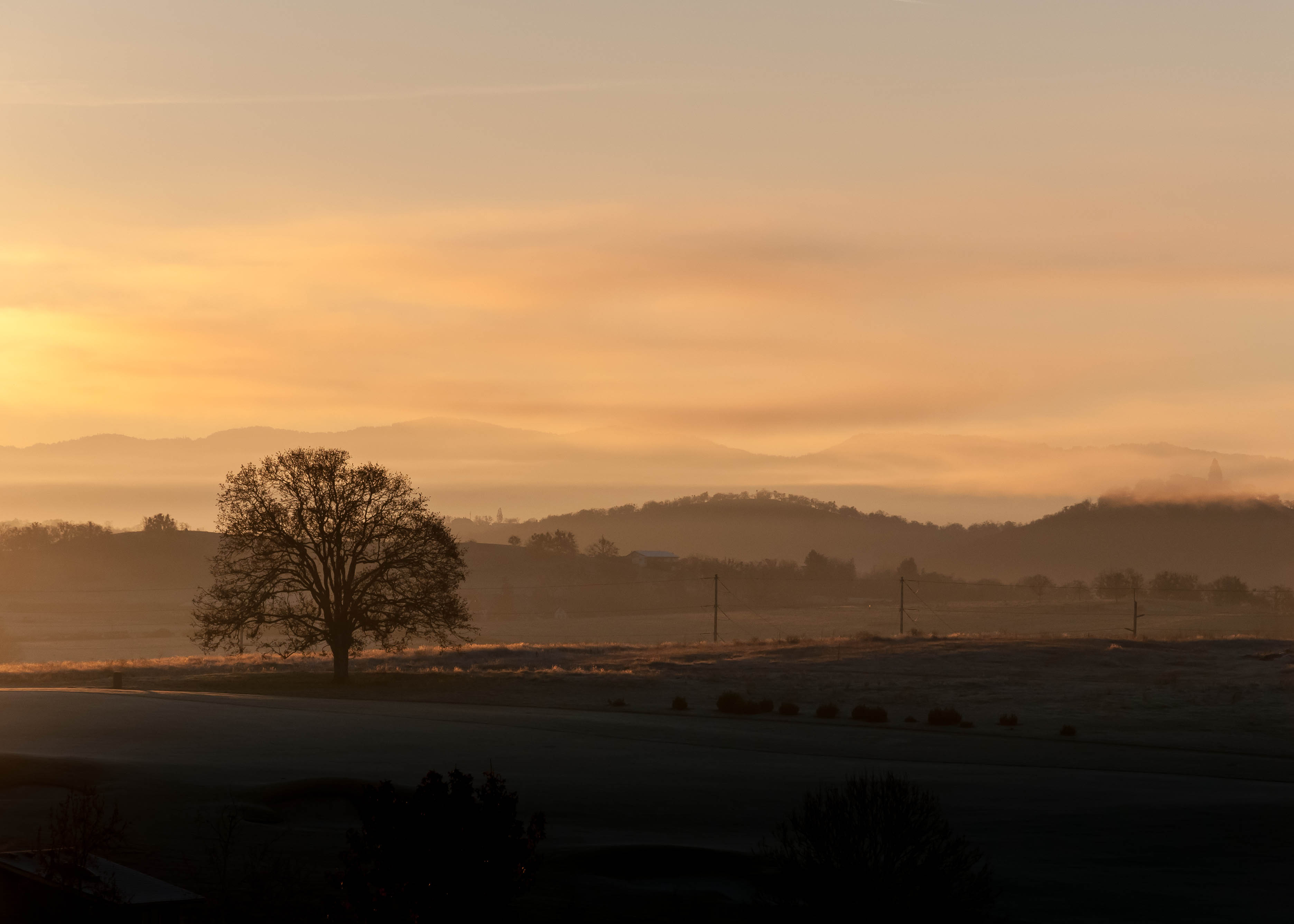
Frosty Morning Sunrise

Rogue River Valley, Eagle Point Oregon 8:01 p.m. 5/13/16

-

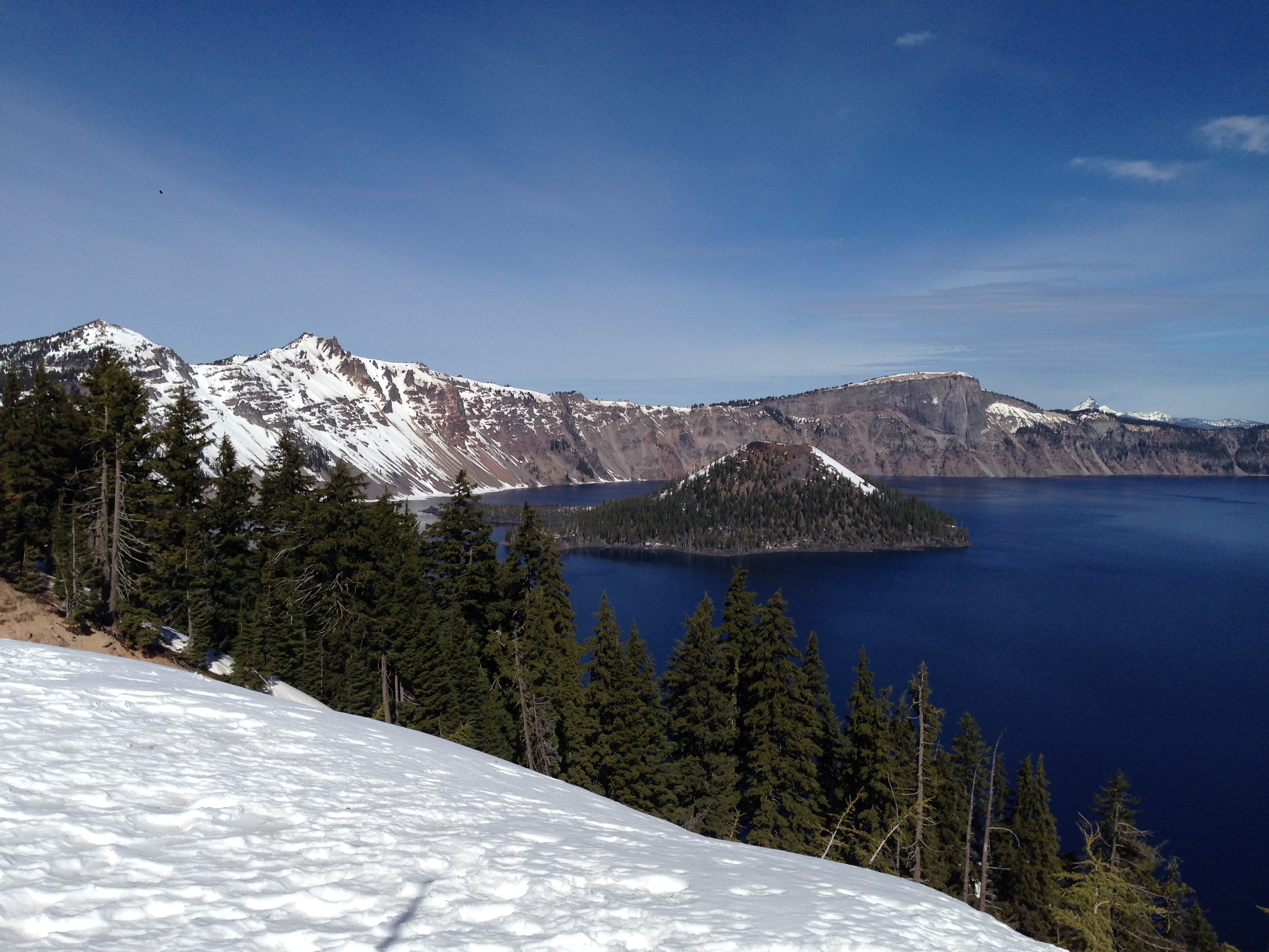
Crater Lake
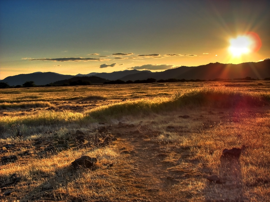
Golden Hue

#RoadTrip #PNW #Oregon #CraterLake #Explore #Trails #Photography #SpringBreak #Spring #WestCoast #NationalPark #BeFunky
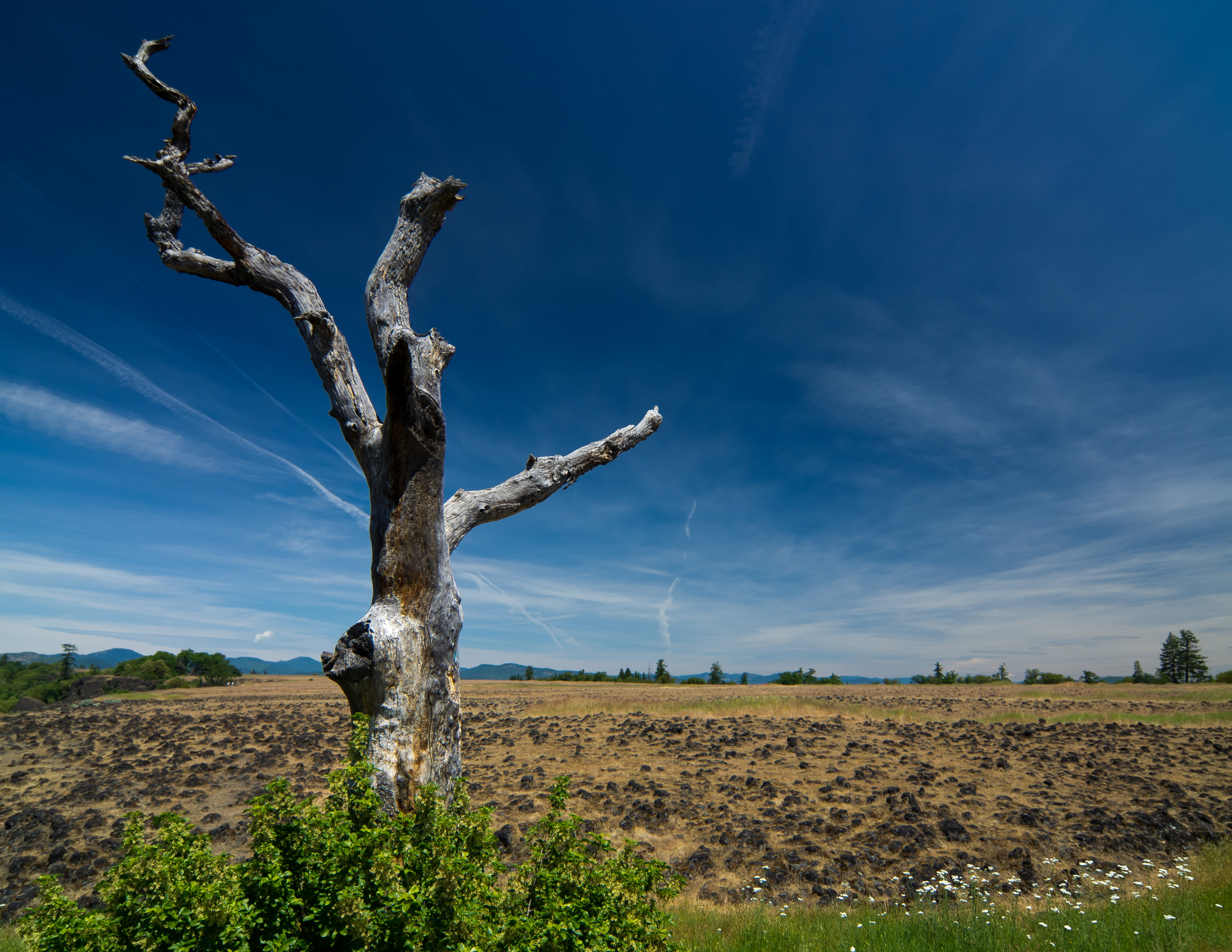
sentinel of wide open spaces

Lower Table Rock
Lower Table Rock 1

making wishes #wish #believe #southernoregon #roguevalley #bearcreek
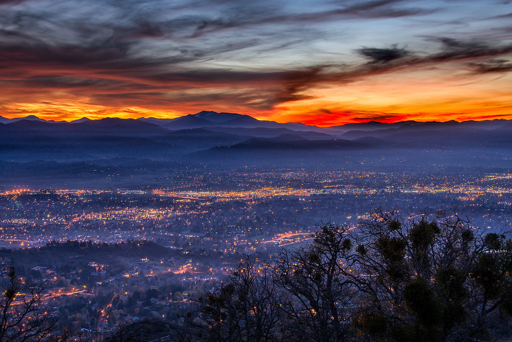
Medford lights from Roxy Ann Drive

-

-
On a morning walk with Caleb

-

Red Chair 4
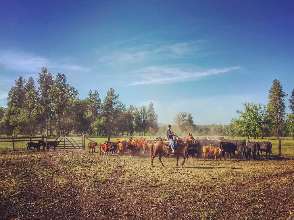
Roundup: JB Dimick readies cows and calves for new pasture. Eagle Point, Oregon 5:14 p.m. 5/11/16
Topographic Map of White City, OR, USA
Find elevation by address:

Places in White City, OR, USA:
Places near White City, OR, USA:
Gladstone Ave, White City, OR, USA
3600 Ave G
288 Princeville Dr
227 Princeville Dr
246 Prairie Landing Dr
4902 Mcloughlin Dr
Bellerive Drive
1068 Coral Ridge
Eagle Point
Eagle Point High School
4130 Dry Creek Rd
633 E Archwood Dr
979 Win Way
251 Northview Dr
5585 Table Rock Rd
3630 Aviation Way
1404 Brownsboro-eagle Point Hwy
1590 Delta Waters Rd
Rogue Valley International-medford Airport
600 Airport Rd
Recent Searches:
- Elevation of Rojo Ct, Atascadero, CA, USA
- Elevation of Flagstaff Drive, Flagstaff Dr, North Carolina, USA
- Elevation of Avery Ln, Lakeland, FL, USA
- Elevation of Woolwine, VA, USA
- Elevation of Lumagwas Diversified Farmers Multi-Purpose Cooperative, Lumagwas, Adtuyon, RV32+MH7, Pangantucan, Bukidnon, Philippines
- Elevation of Homestead Ridge, New Braunfels, TX, USA
- Elevation of Orchard Road, Orchard Rd, Marlborough, NY, USA
- Elevation of 12 Hutchinson Woods Dr, Fletcher, NC, USA
- Elevation of Holloway Ave, San Francisco, CA, USA
- Elevation of Norfolk, NY, USA