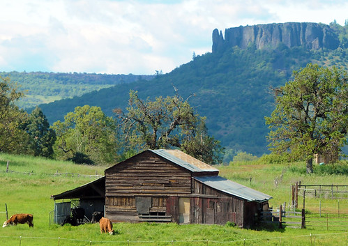
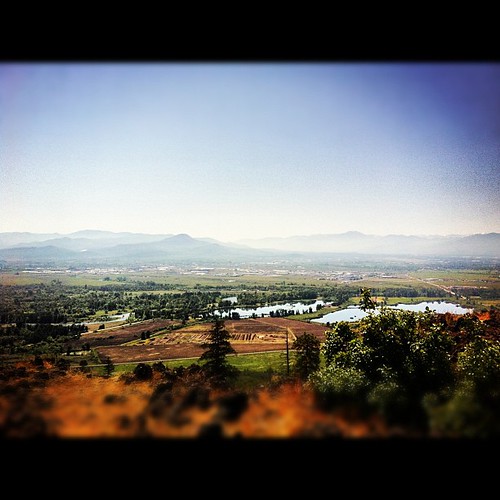
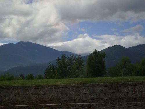
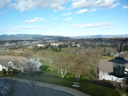
Elevation of Medford, OR, USA
Location: United States > Oregon > Jackson County >
Longitude: -122.87559
Latitude: 42.3265152
Elevation: 421m / 1381feet
Barometric Pressure: 96KPa
Related Photos:
Topographic Map of Medford, OR, USA
Find elevation by address:

Places in Medford, OR, USA:
Mount Ashland
Highcrest Drive
Roxy Ann Road
Hillcrest Road
Annapolis Drive
Apache Drive
East Mcandrews Road
Sunrise Avenue
Eagle Trace Subdivision
Pioneer Road
Skyline Drive
Places near Medford, OR, USA:
716 Cedar St
25 N Peach St
620 S Grape St
111 Taft St
1078 Court St #105
1395 Poplar Dr
124 Ashland Ave
American Eagle Outfitters
909 Maple Park Dr
1071 Katie Mae Dr
190 N Ross Ln
1626 Woodlawn Dr
2001 Table Rock Rd
1500 Yucca St
747 Kaitlin Ln
1913 Hillcrest Rd
117 Sunrise Ave
1408 E Barnett Rd
Sunrise Avenue
921 Parkdale Ave
Recent Searches:
- Elevation of Corso Fratelli Cairoli, 35, Macerata MC, Italy
- Elevation of Tallevast Rd, Sarasota, FL, USA
- Elevation of 4th St E, Sonoma, CA, USA
- Elevation of Black Hollow Rd, Pennsdale, PA, USA
- Elevation of Oakland Ave, Williamsport, PA, USA
- Elevation of Pedrógão Grande, Portugal
- Elevation of Klee Dr, Martinsburg, WV, USA
- Elevation of Via Roma, Pieranica CR, Italy
- Elevation of Tavkvetili Mountain, Georgia
- Elevation of Hartfords Bluff Cir, Mt Pleasant, SC, USA


