Elevation of Ave G, White City, OR, USA
Location: United States > Oregon > Jackson County > White City >
Longitude: -122.82579
Latitude: 42.436536
Elevation: 414m / 1358feet
Barometric Pressure: 96KPa
Elevation Map:
Satellite Map:
Related Photos:

Sunset, Night -1... - Cycle Oregon 2009

View from Tablerock
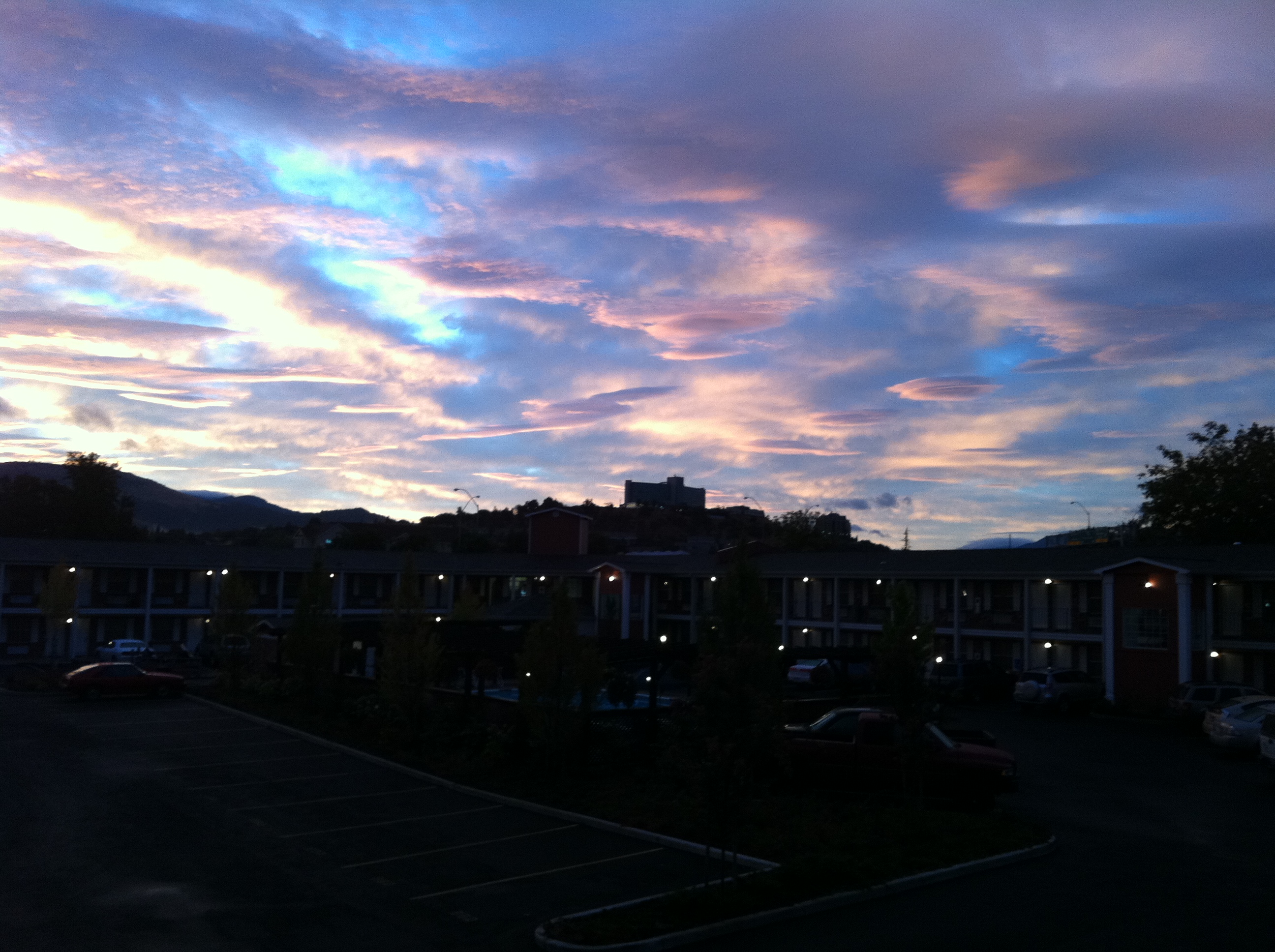
view from hotel2
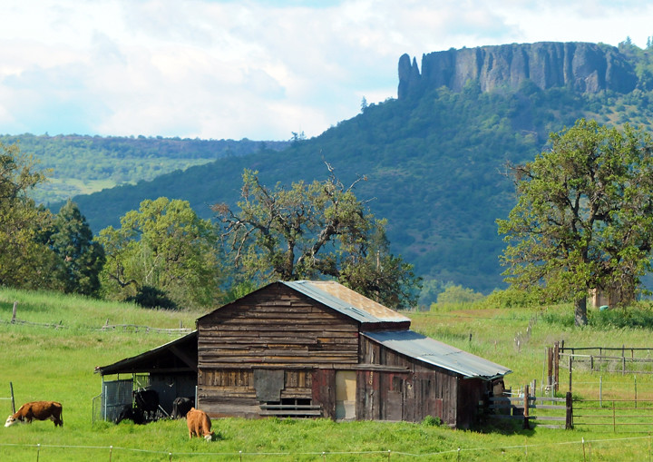
Lower Table Rock and Barn from I-5

I love the view from my house! ????

manor view

Harnessing the sun

Sunrise from the Columbia river gorge

Walking with the shutter open

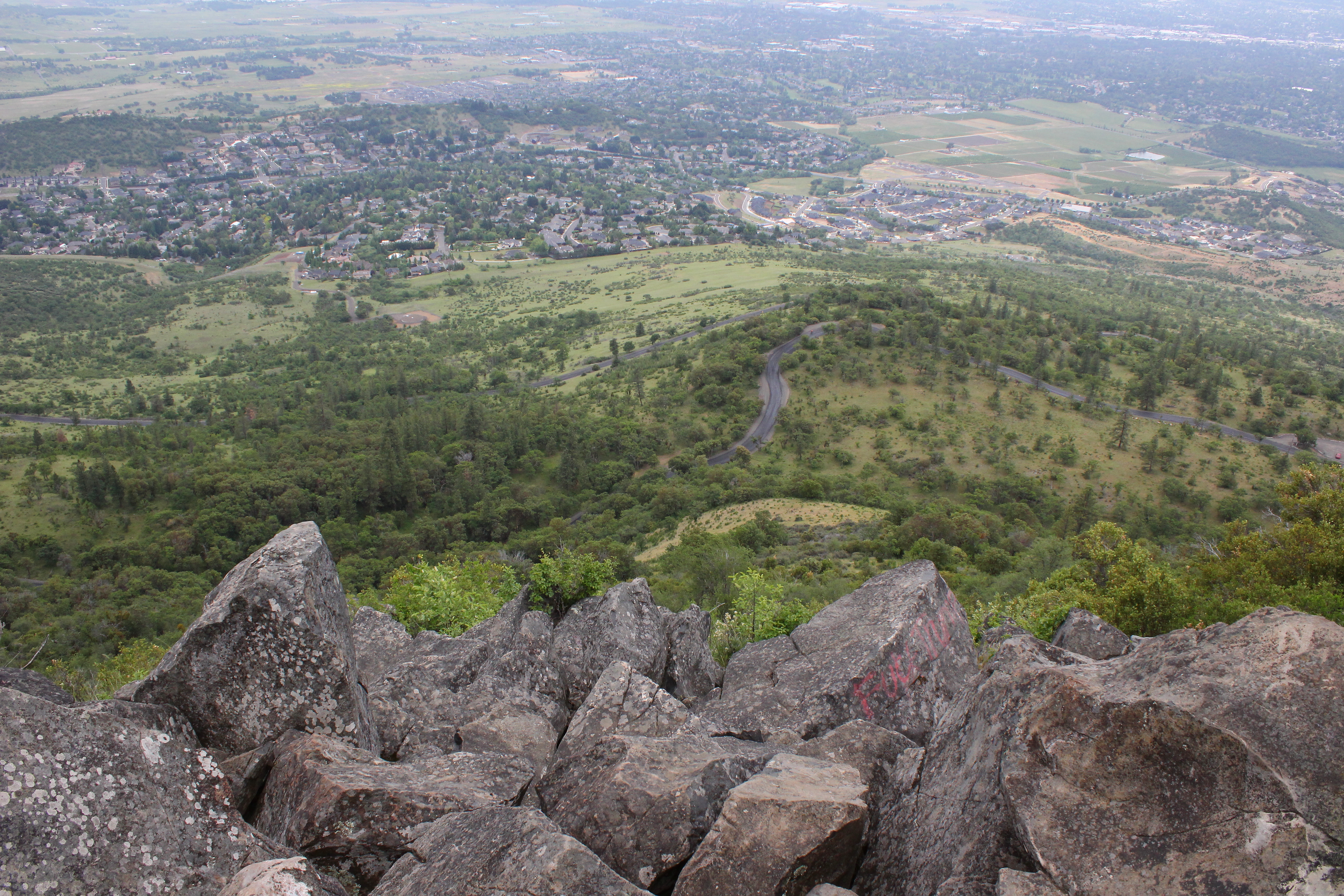
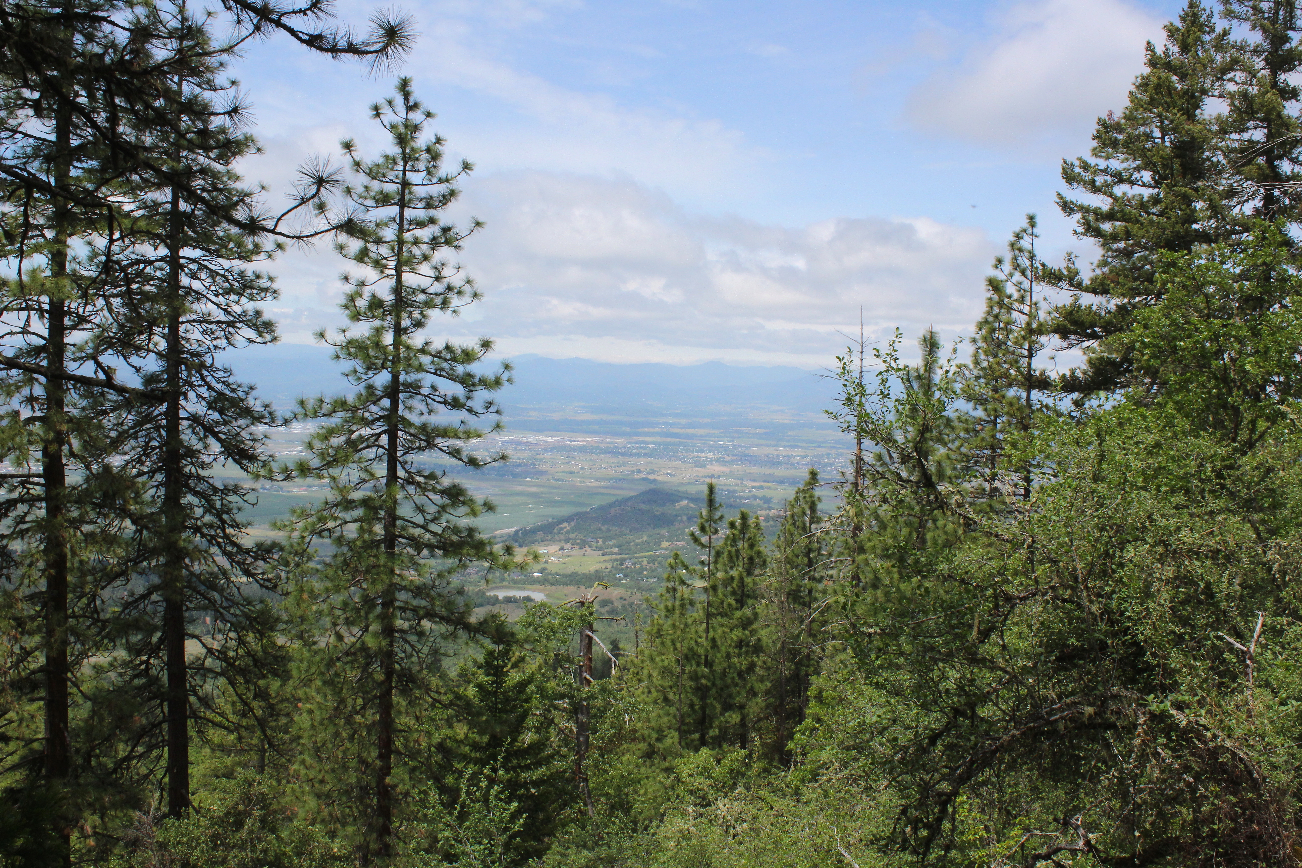
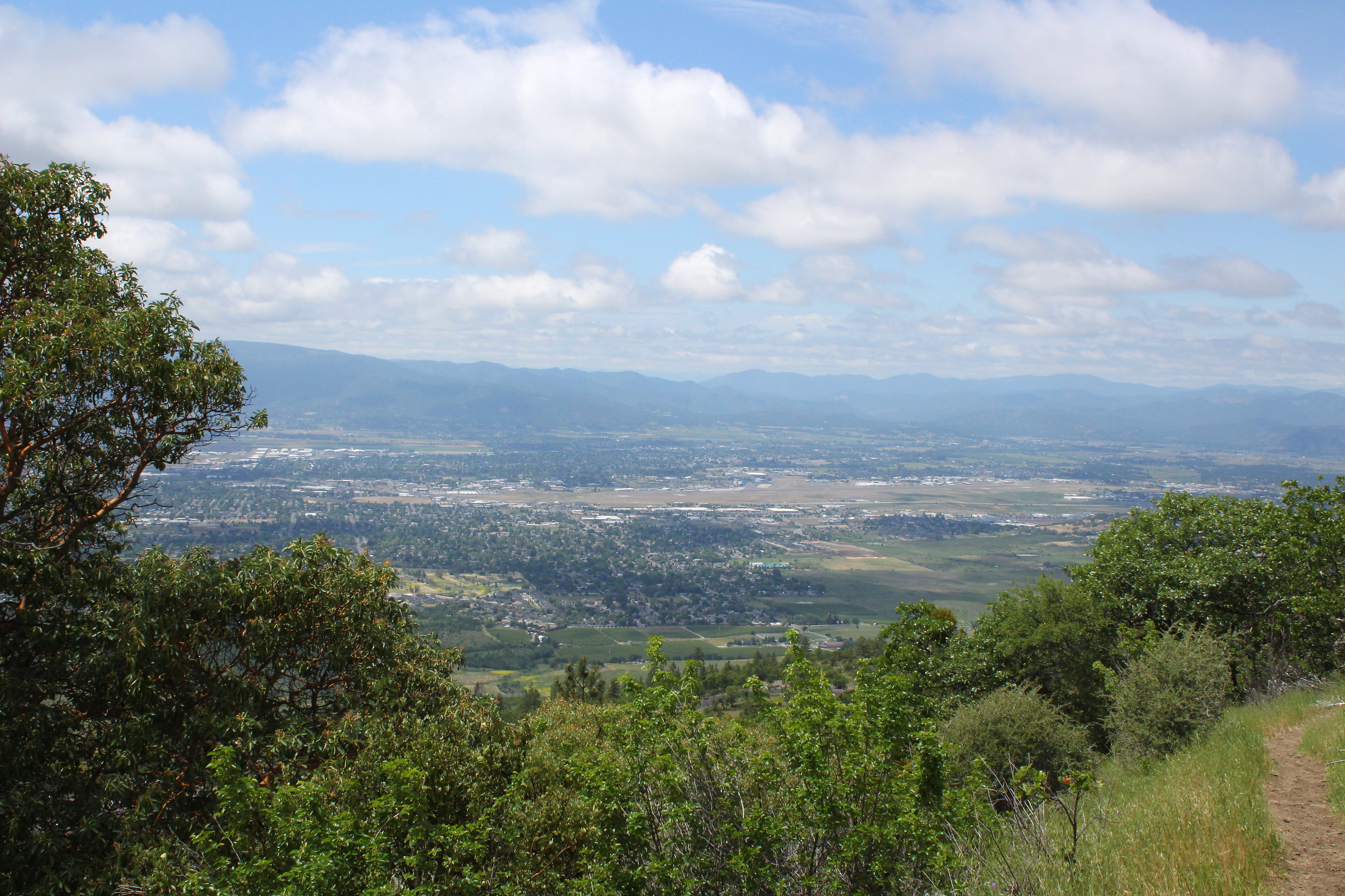
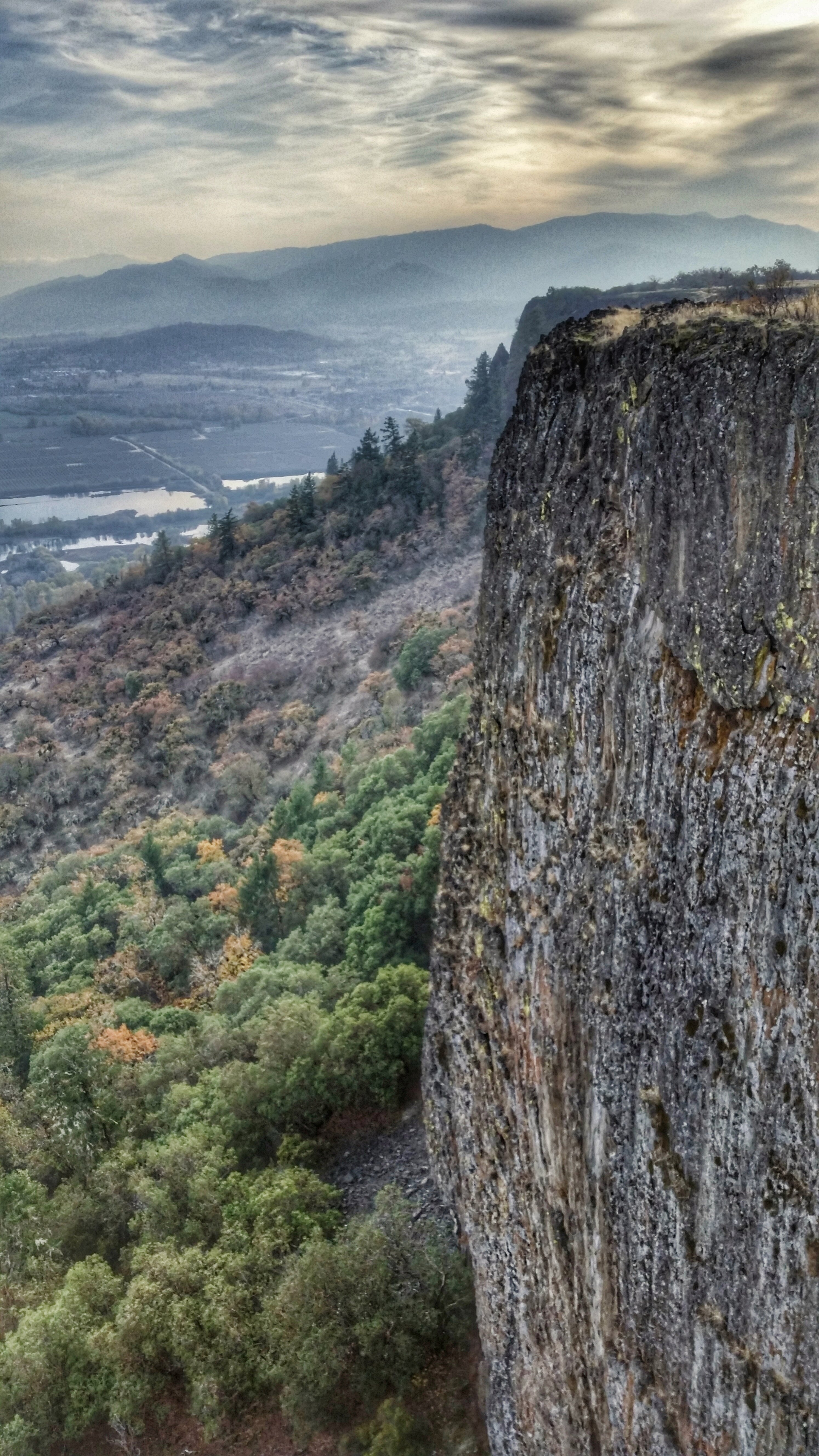
View of Medford Oregon from Upper Table Rock, looking South.

This was my view for one very unpleasant meal
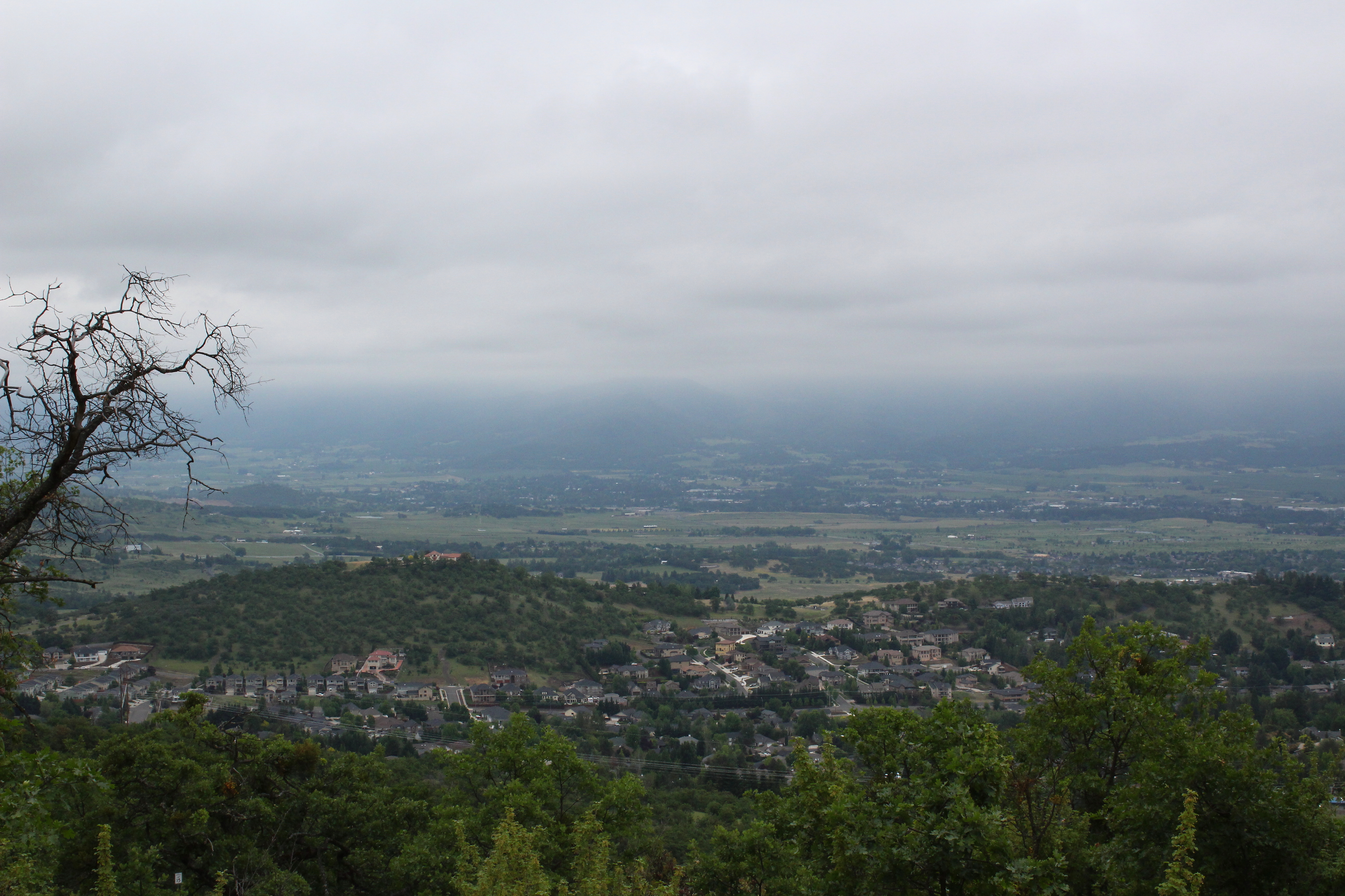
Clouds took away the mountain views

Love the view up here.
The view from Roxy Ann Peak's summit
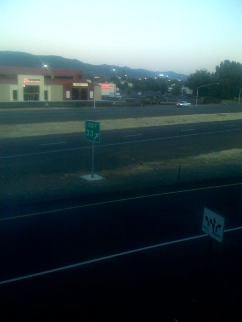
Lovely view of i-5
2011-09-04-018
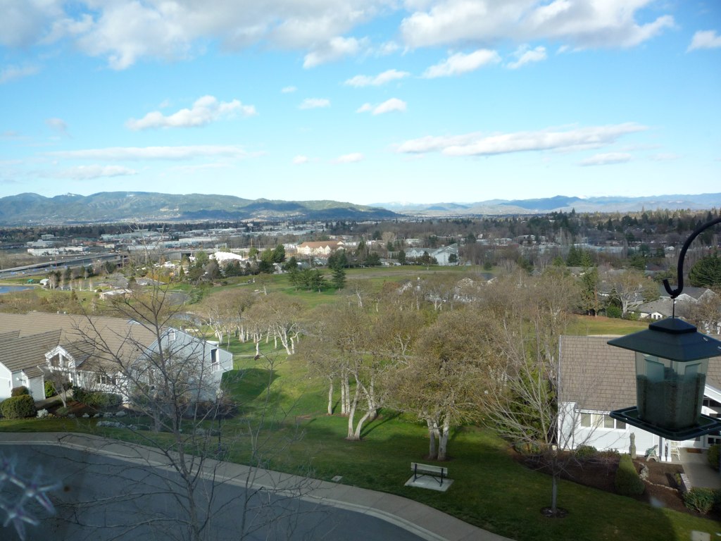
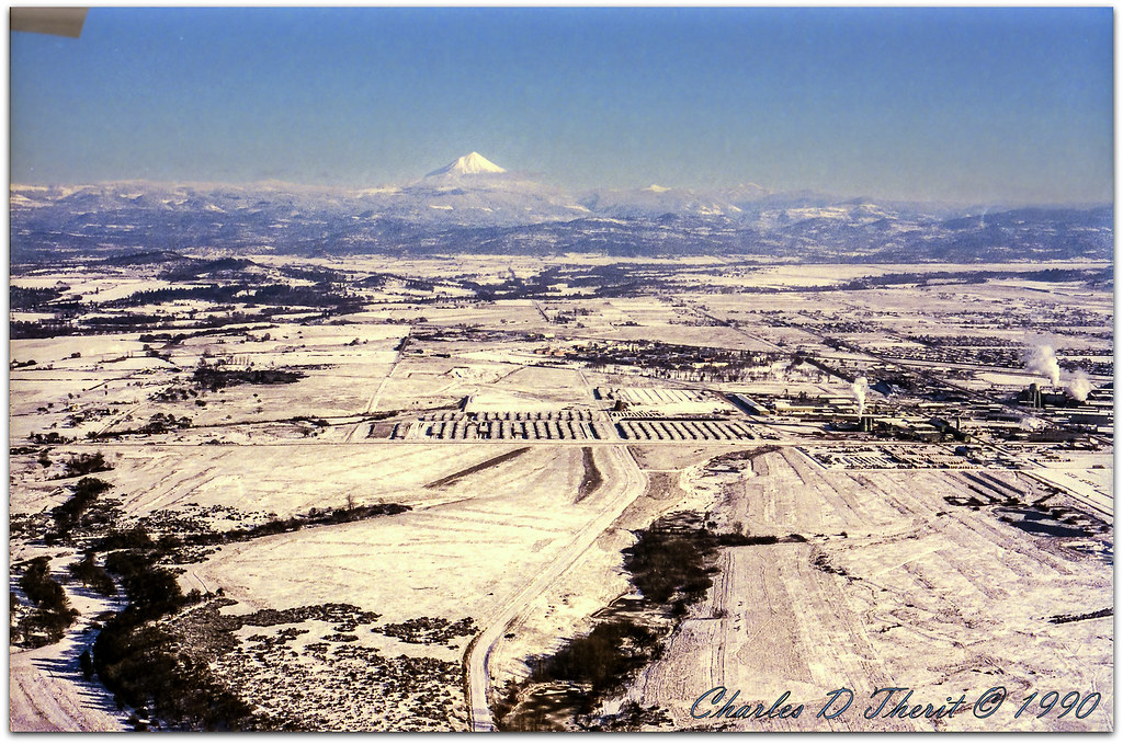
Medford OR View

Medford OR View
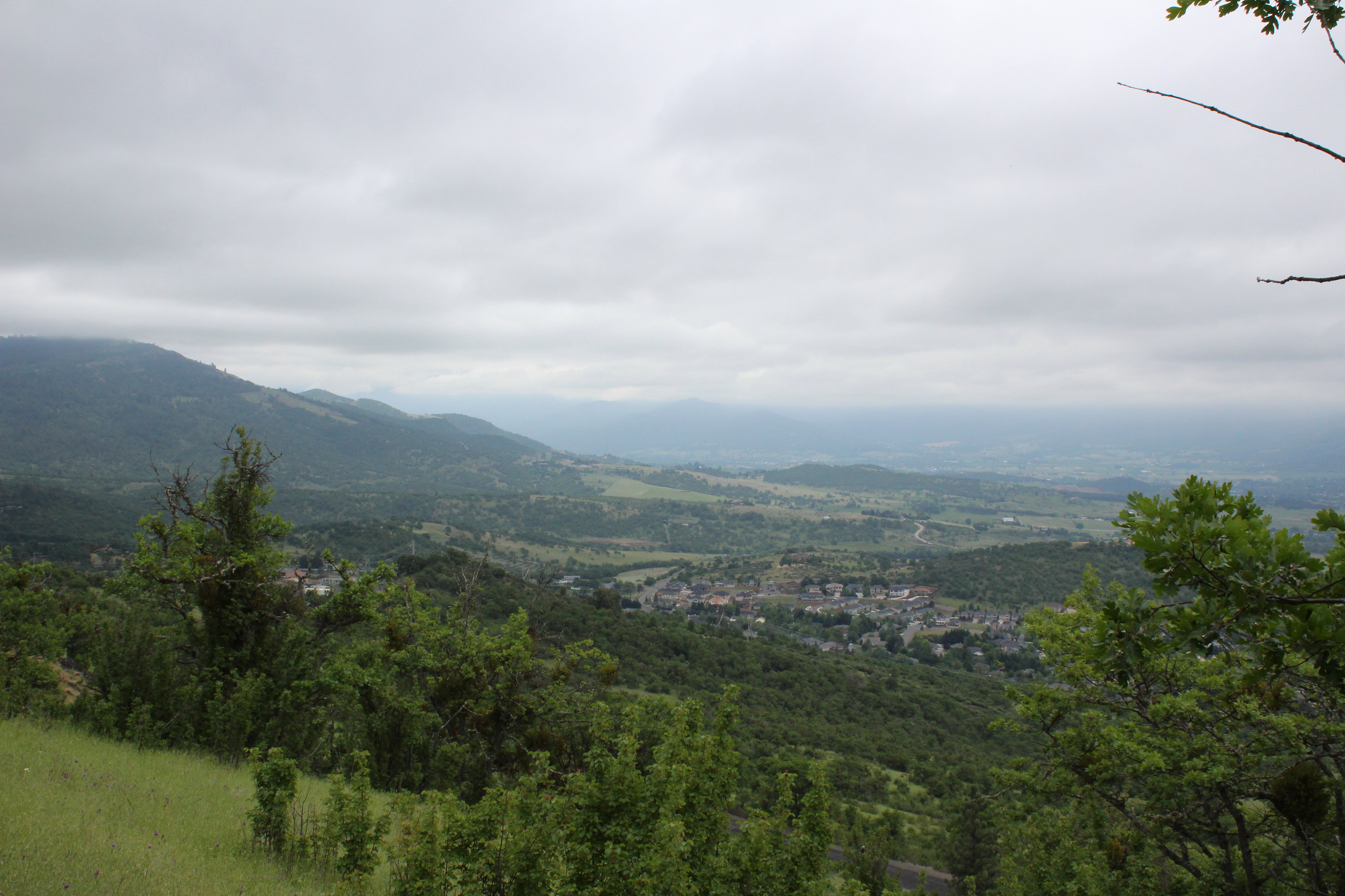
Partial view on the way down
View to south Medford
A great view

N374AC AeroFlite Avro RJ85 Tanker 164
107/365 ~ Blessings

#RoadTrip #PNW #Oregon #CraterLake #Explore #Trails #Photography #SpringBreak #Spring #WestCoast #NationalPark #BeFunky
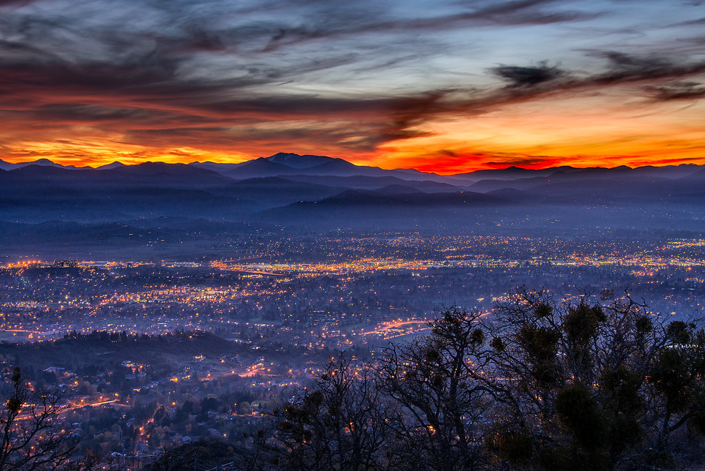
Medford lights from Roxy Ann Drive

Hiking Upper Table Rock

Rogue River Valley, Eagle Point Oregon 8:01 p.m. 5/13/16

#nofilter
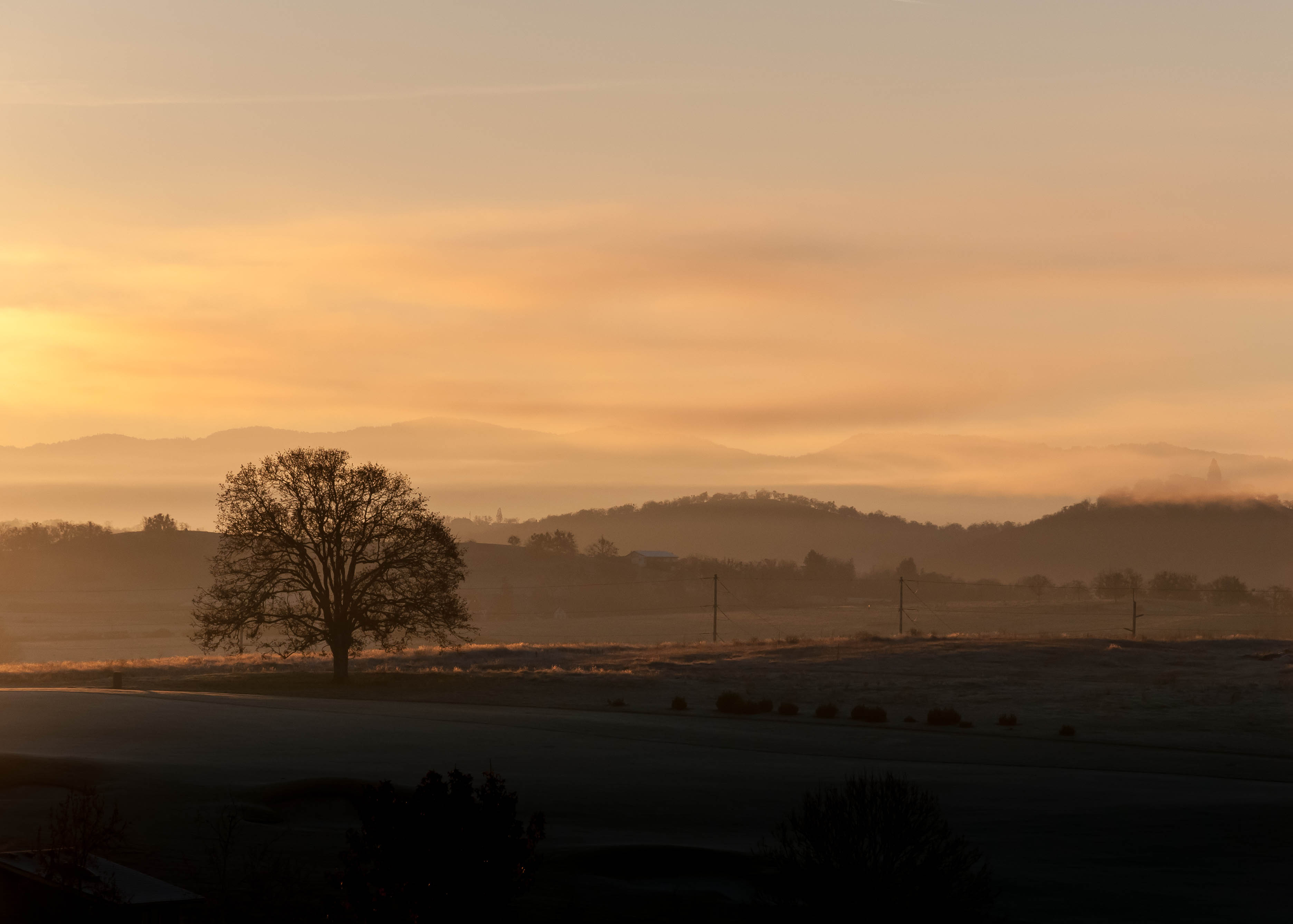
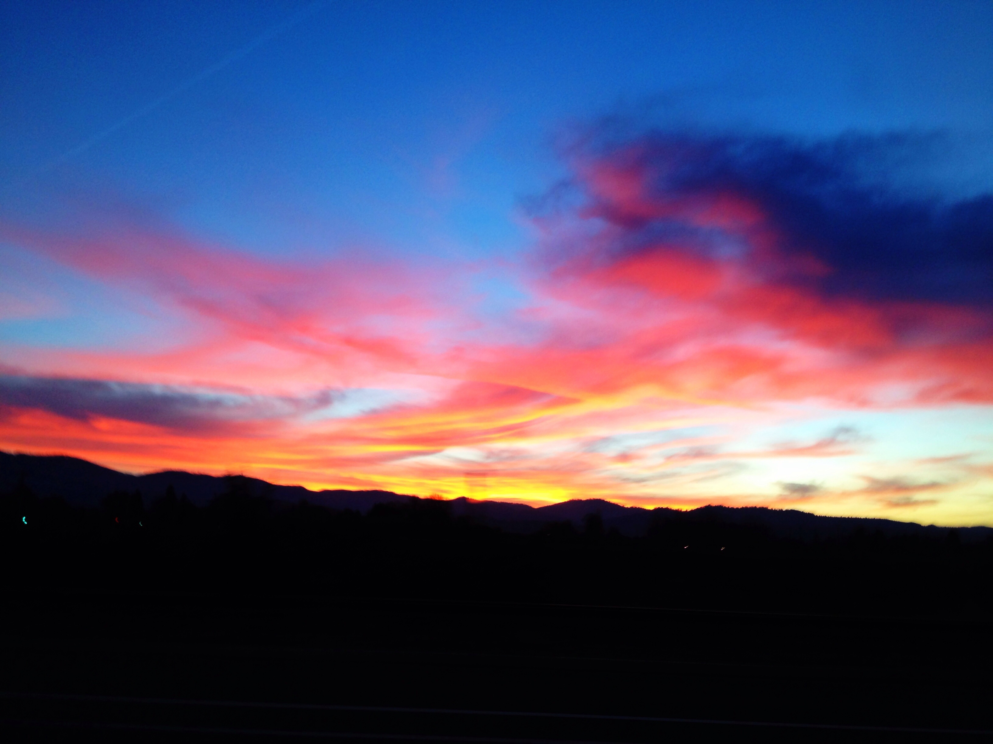
Frosty Morning Sunrise
Mount McLoughlin
Hiking Lower Table Rock

Siskiyou Mountains

Road to Roxy Ann

Summer 2014
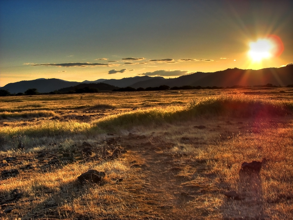
Golden Hue

Hiking Lower Table Rock
Hiking Lower Table Rock

Crater Lake
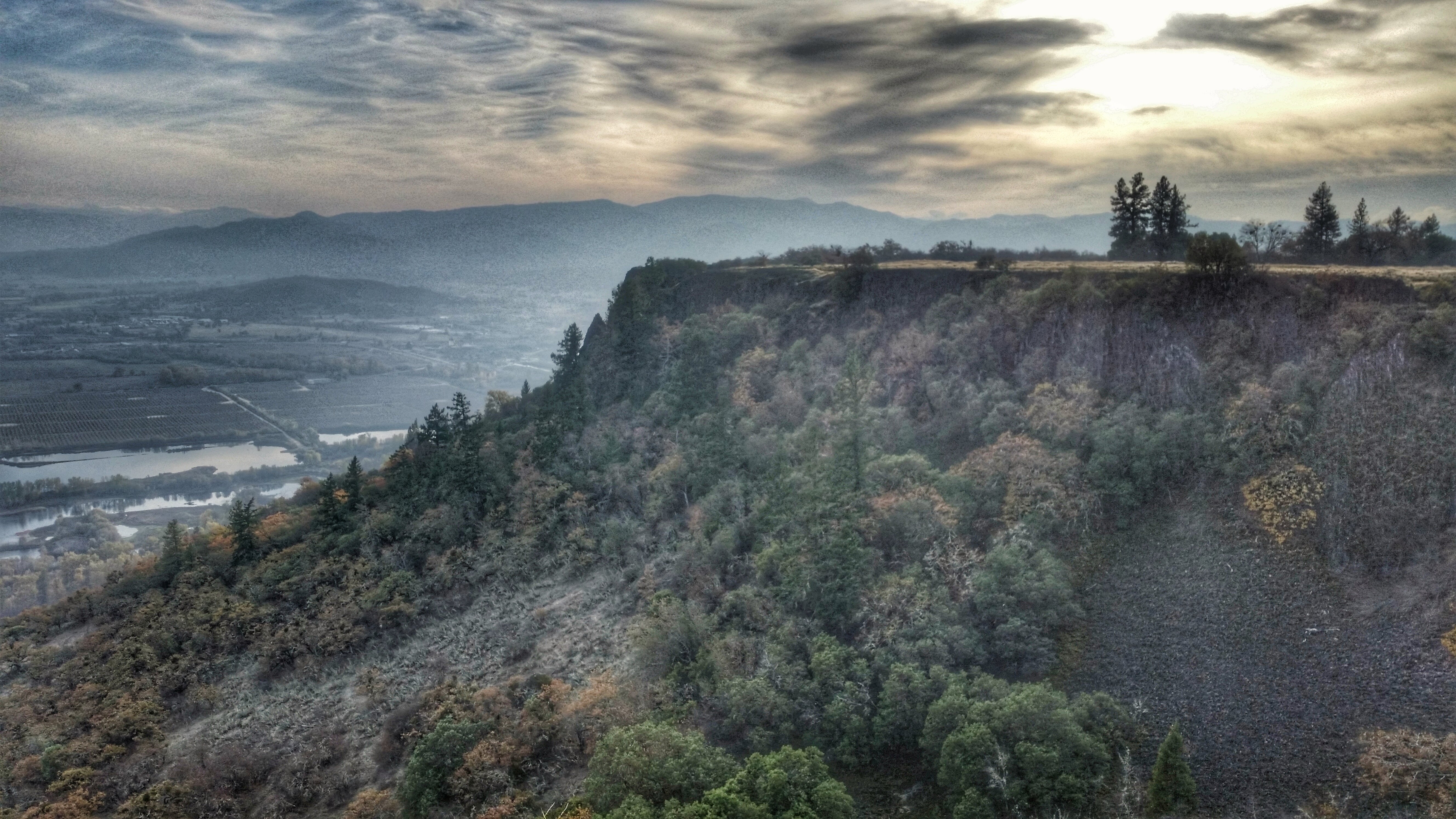
Hiking Lower Table Rock
Southern Cascade Range volcano Mount McLoughlin from Eagle Point, Oregon 6:38 a.m. 5/11/16
Topographic Map of Ave G, White City, OR, USA
Find elevation by address:

Places near Ave G, White City, OR, USA:
White City
Gladstone Ave, White City, OR, USA
288 Princeville Dr
227 Princeville Dr
246 Prairie Landing Dr
Bellerive Drive
1068 Coral Ridge
Eagle Point
Eagle Point High School
633 E Archwood Dr
979 Win Way
4902 Mcloughlin Dr
251 Northview Dr
4130 Dry Creek Rd
1404 Brownsboro-eagle Point Hwy
900 Ayres Rd
1008 Lexington Dr
5585 Table Rock Rd
2373 Brownsboro-eagle Point Hwy
3630 Aviation Way
Recent Searches:
- Elevation of Homestead Ridge, New Braunfels, TX, USA
- Elevation of Orchard Road, Orchard Rd, Marlborough, NY, USA
- Elevation of 12 Hutchinson Woods Dr, Fletcher, NC, USA
- Elevation of Holloway Ave, San Francisco, CA, USA
- Elevation of Norfolk, NY, USA
- Elevation of - San Marcos Pass Rd, Santa Barbara, CA, USA
- Elevation of th Pl SE, Issaquah, WA, USA
- Elevation of 82- D Rd, Captain Cook, HI, USA
- Elevation of Harlow CM20 2PR, UK
- Elevation of Shenyang Agricultural University, Dong Ling Lu, Shen He Qu, Shen Yang Shi, Liao Ning Sheng, China