Elevation of Old Stage Rd, Central Point, OR, USA
Location: United States > Oregon > Jackson County > Central Point >
Longitude: -122.95284
Latitude: 42.364753
Elevation: 460m / 1509feet
Barometric Pressure: 96KPa
Elevation Map:
Satellite Map:
Related Photos:
Tree art on the East ART
Jacksonville Viewpoint

View from Tablerock
view from hotel2
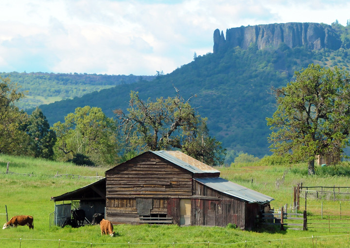
Lower Table Rock and Barn from I-5
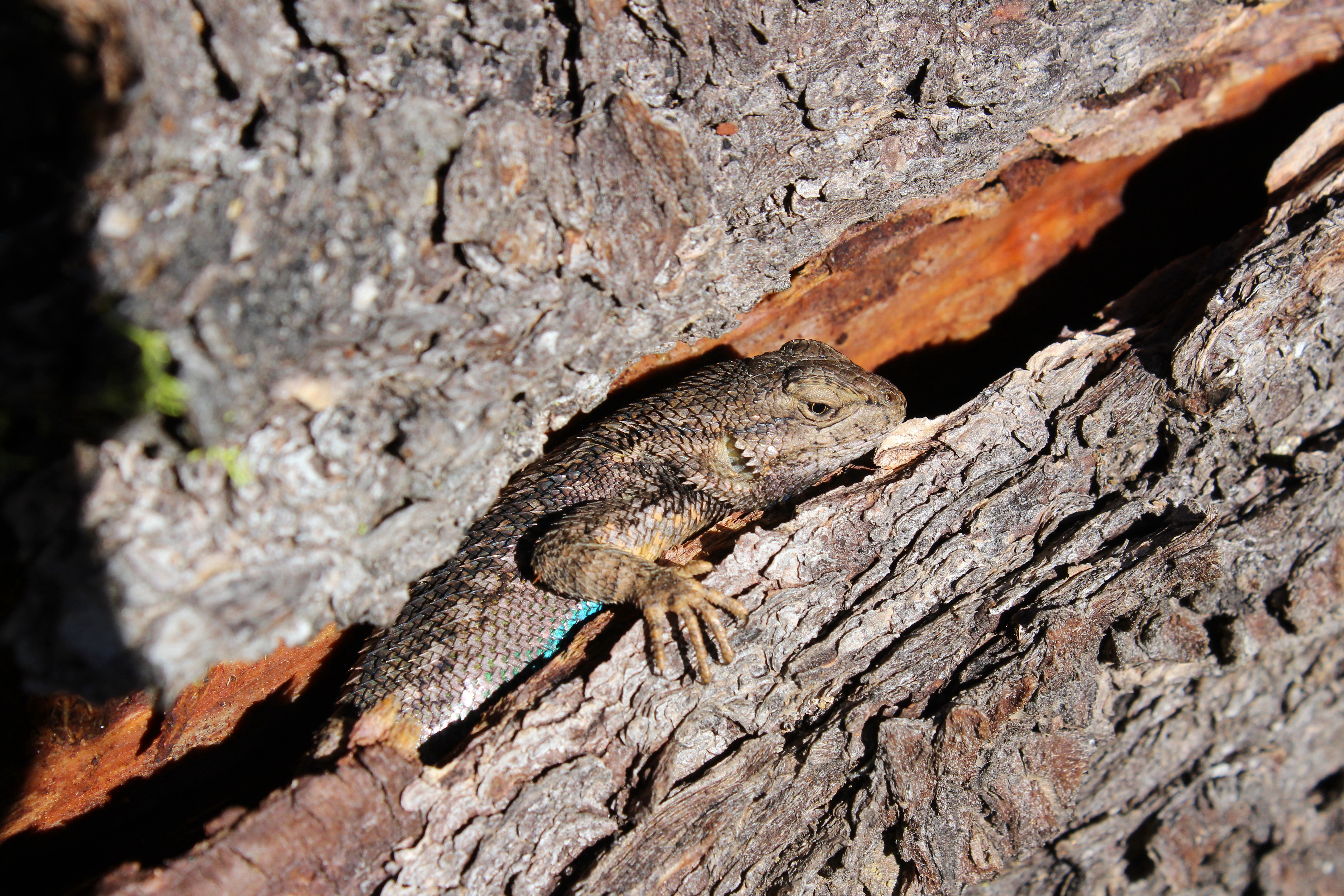
Oh crap, you found me!
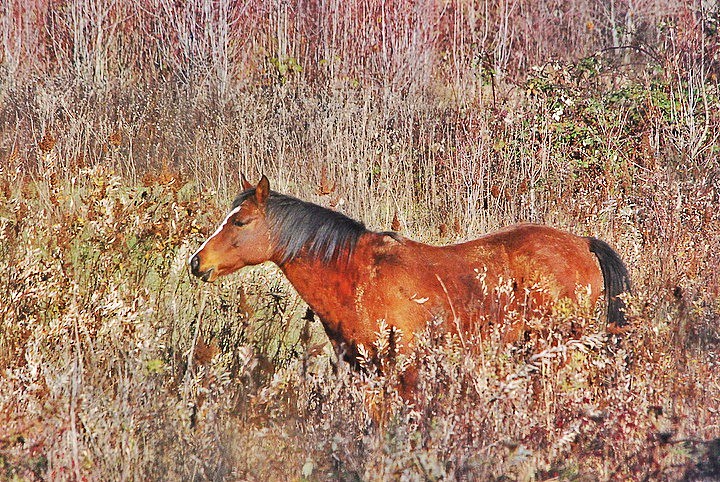
horse in tall grass

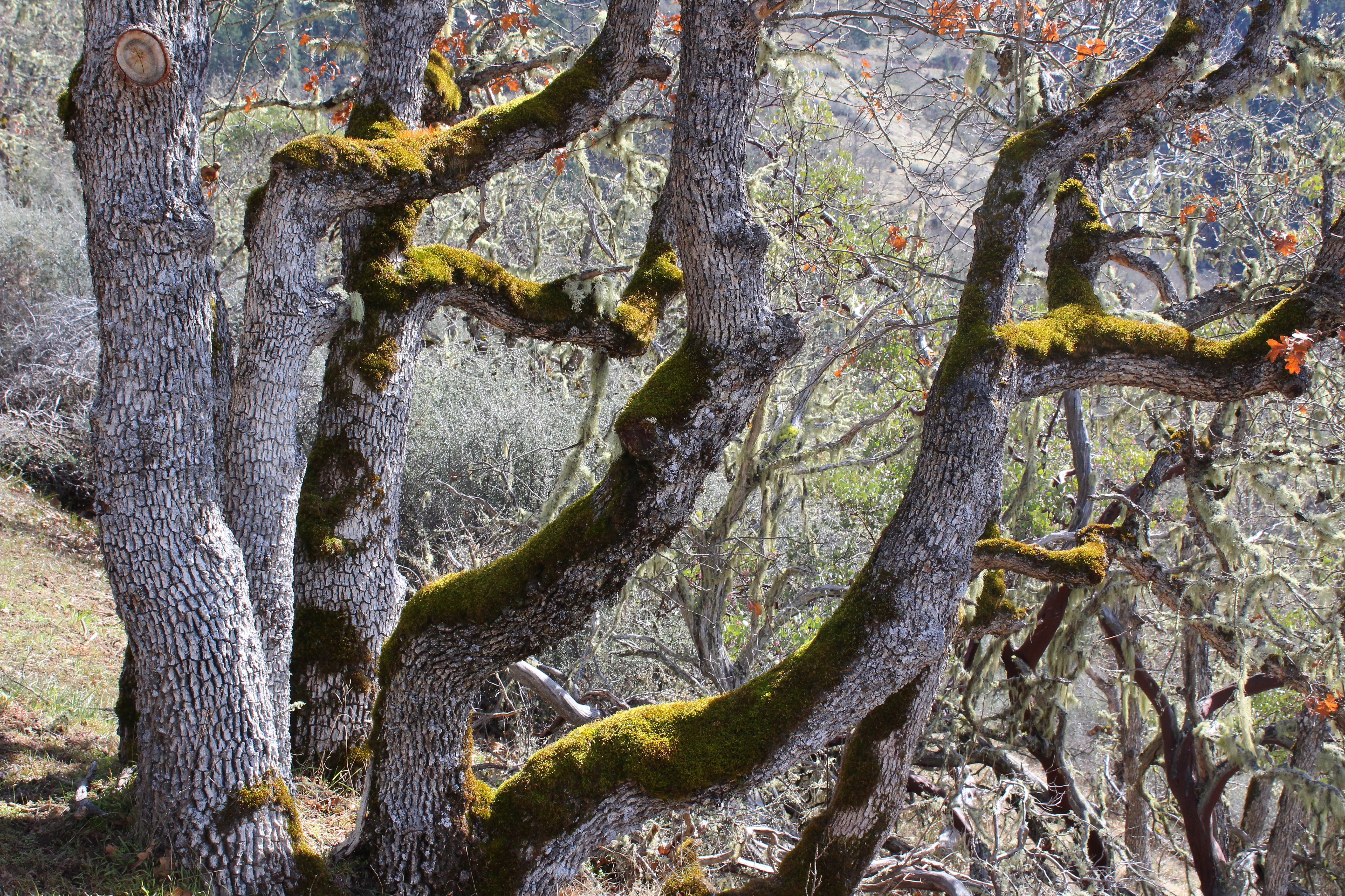
Madrones reach for the sky

manor view

Harnessing the sun
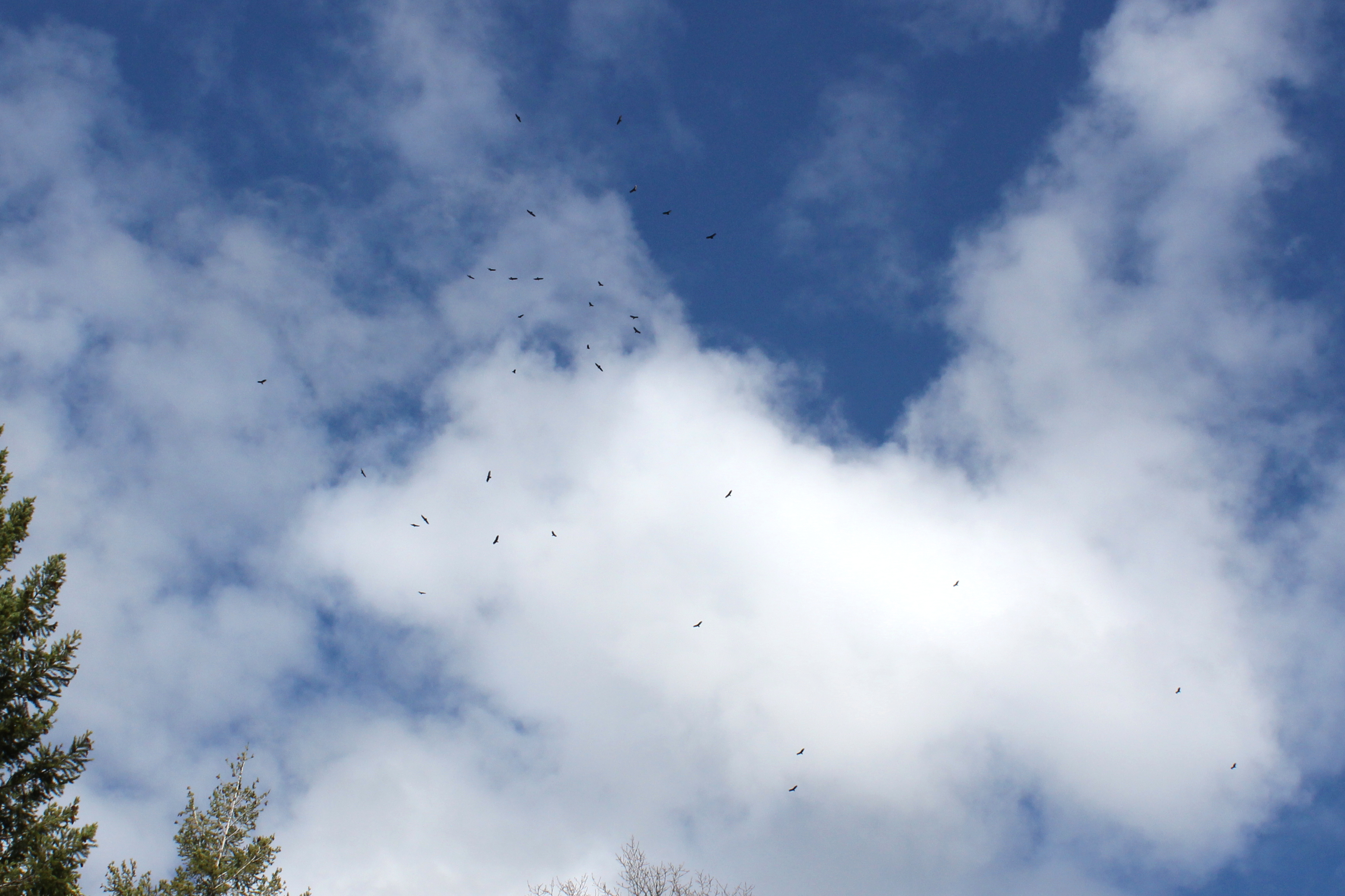
Dozens of buzzards circled over us

Sunrise from the Columbia river gorge

Walking with the shutter open
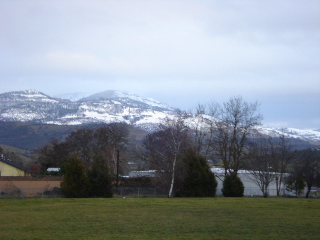
Still lots of snow in the Siskiyou foothills

View of Medford Oregon from Upper Table Rock, looking South.
the view from school

This was my view for one very unpleasant meal
View from the Rich Gulch Trail
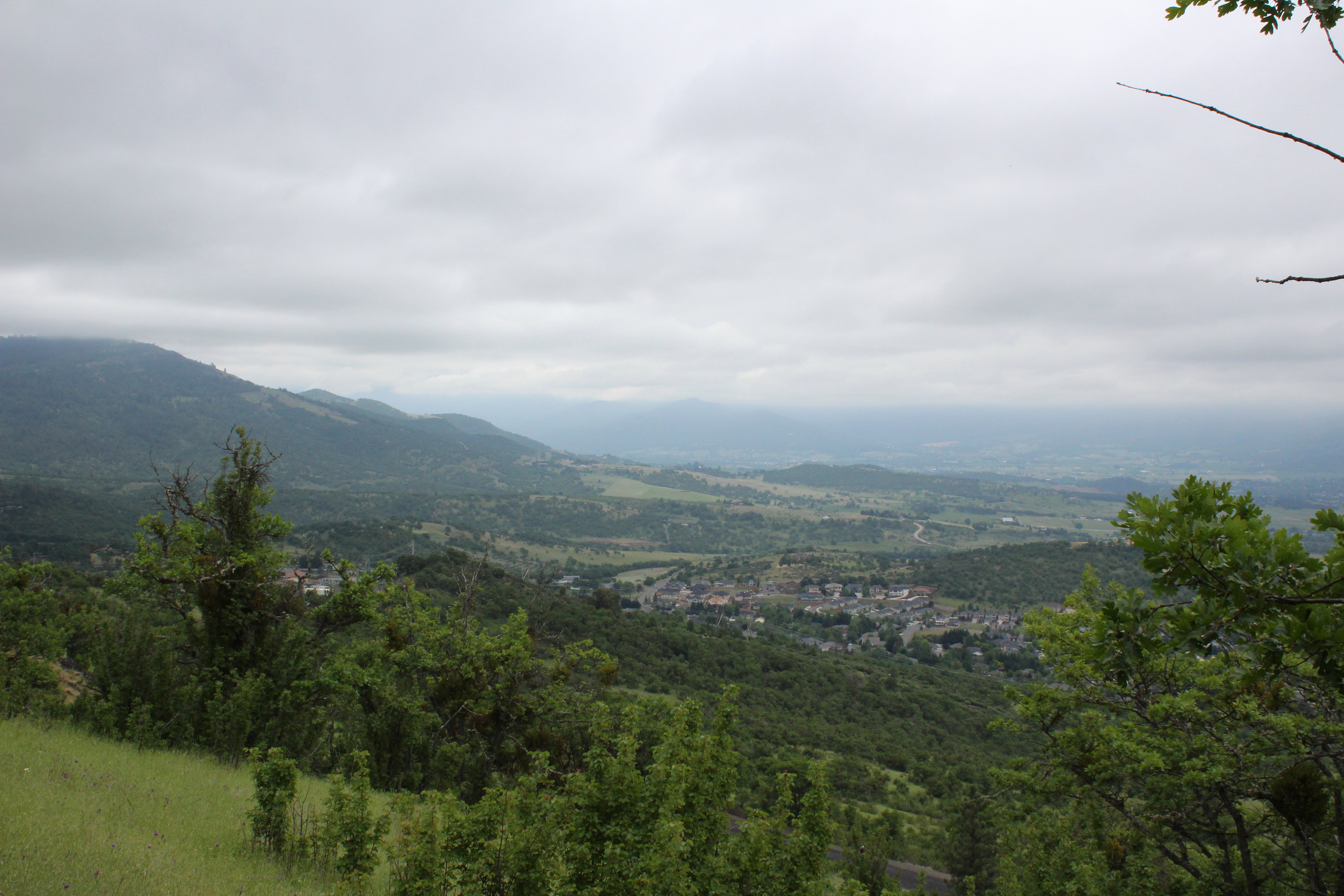
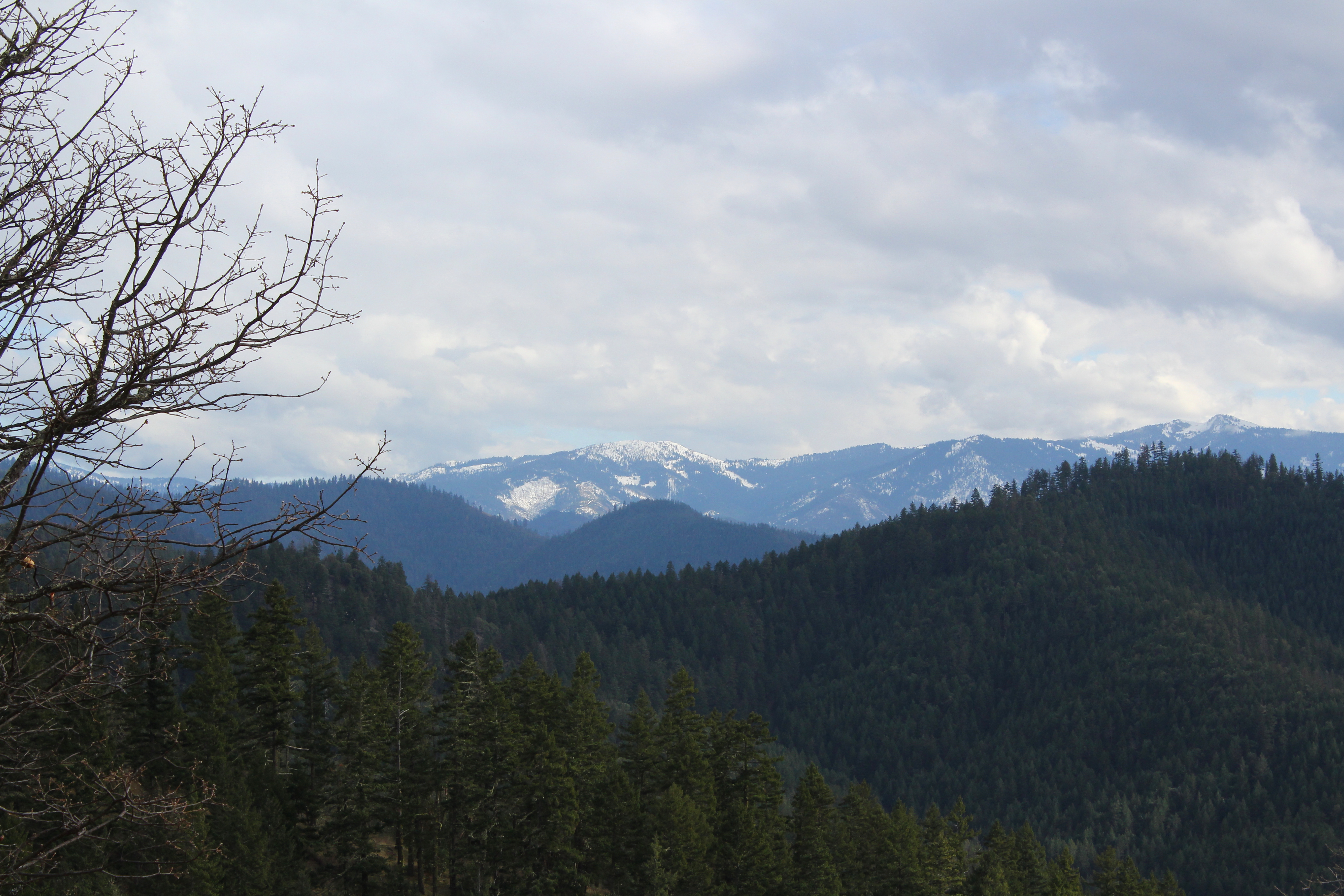
Clouds took away the mountain views
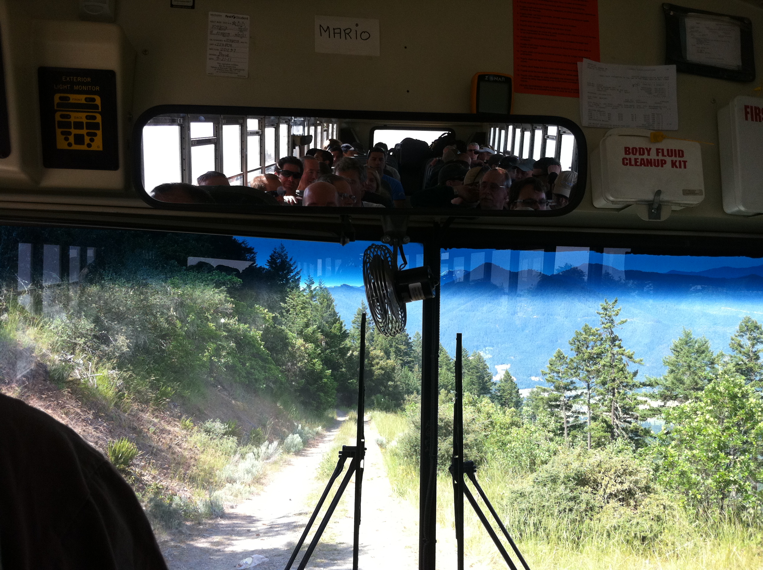
Rear view on the bus at launch
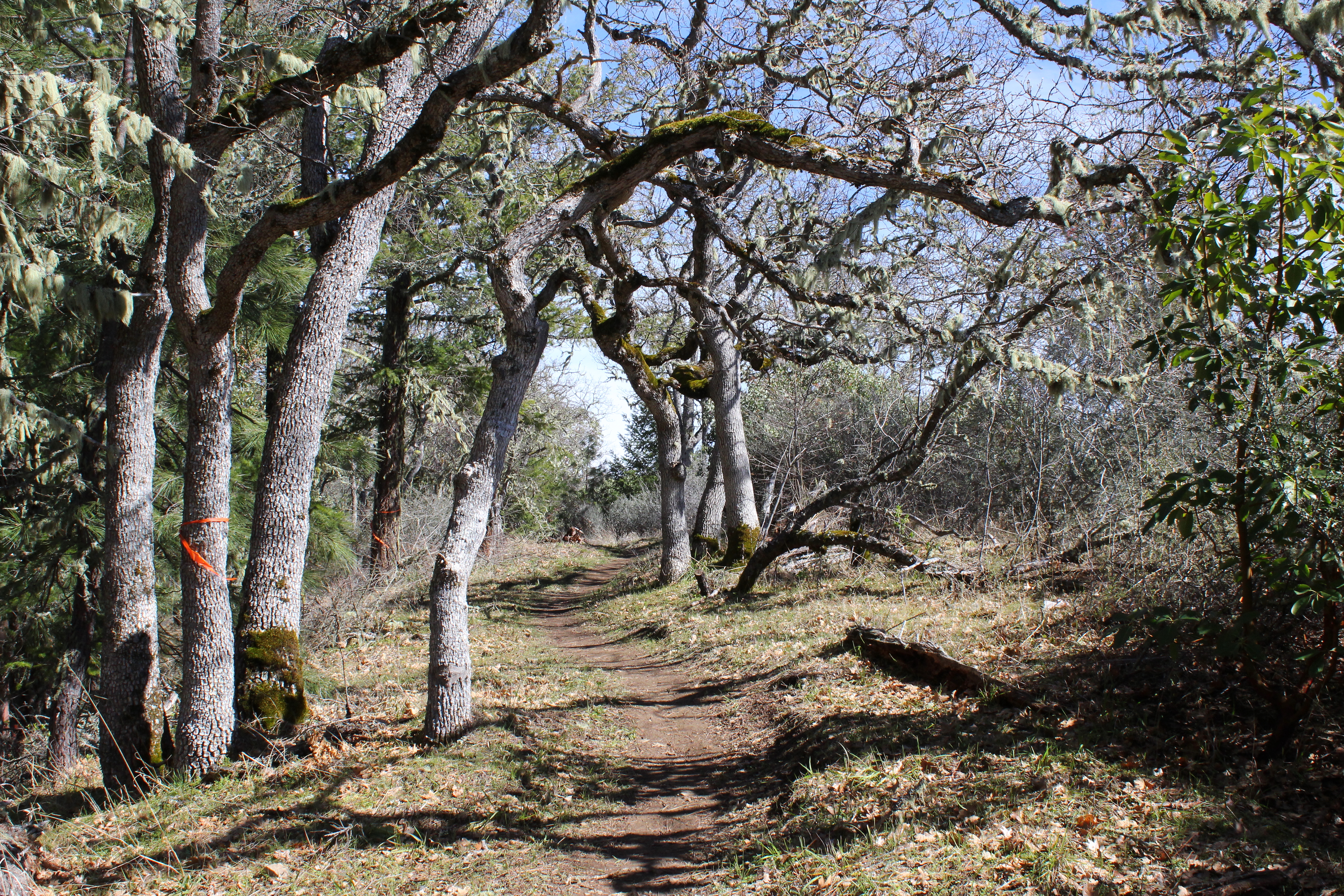
Trail on a wooded ridge
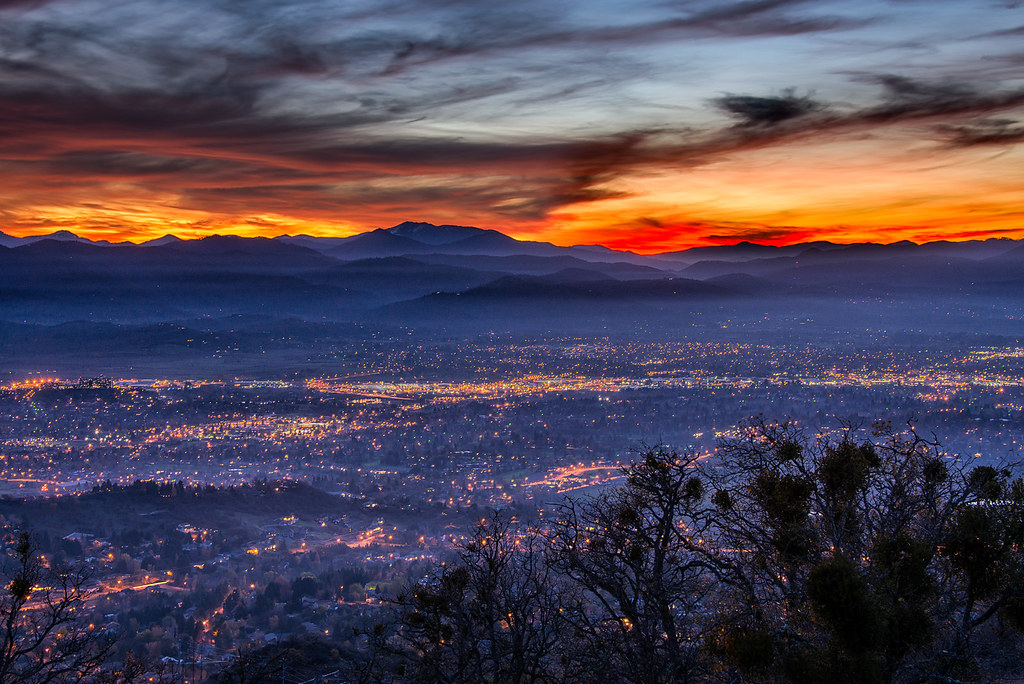
Medford lights from Roxy Ann Drive

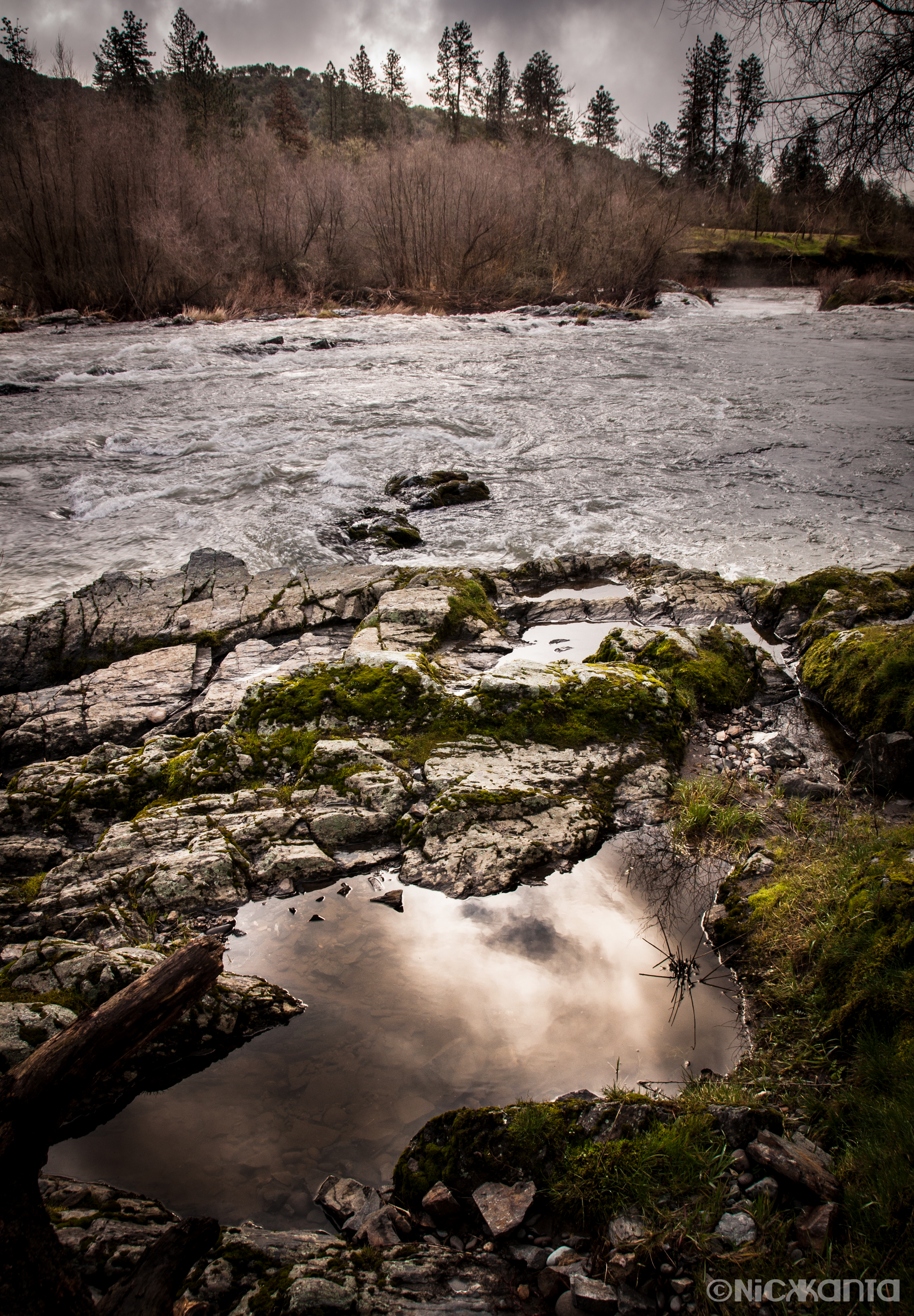
The Rogue River

Hiking Upper Table Rock
Puddles of Gold
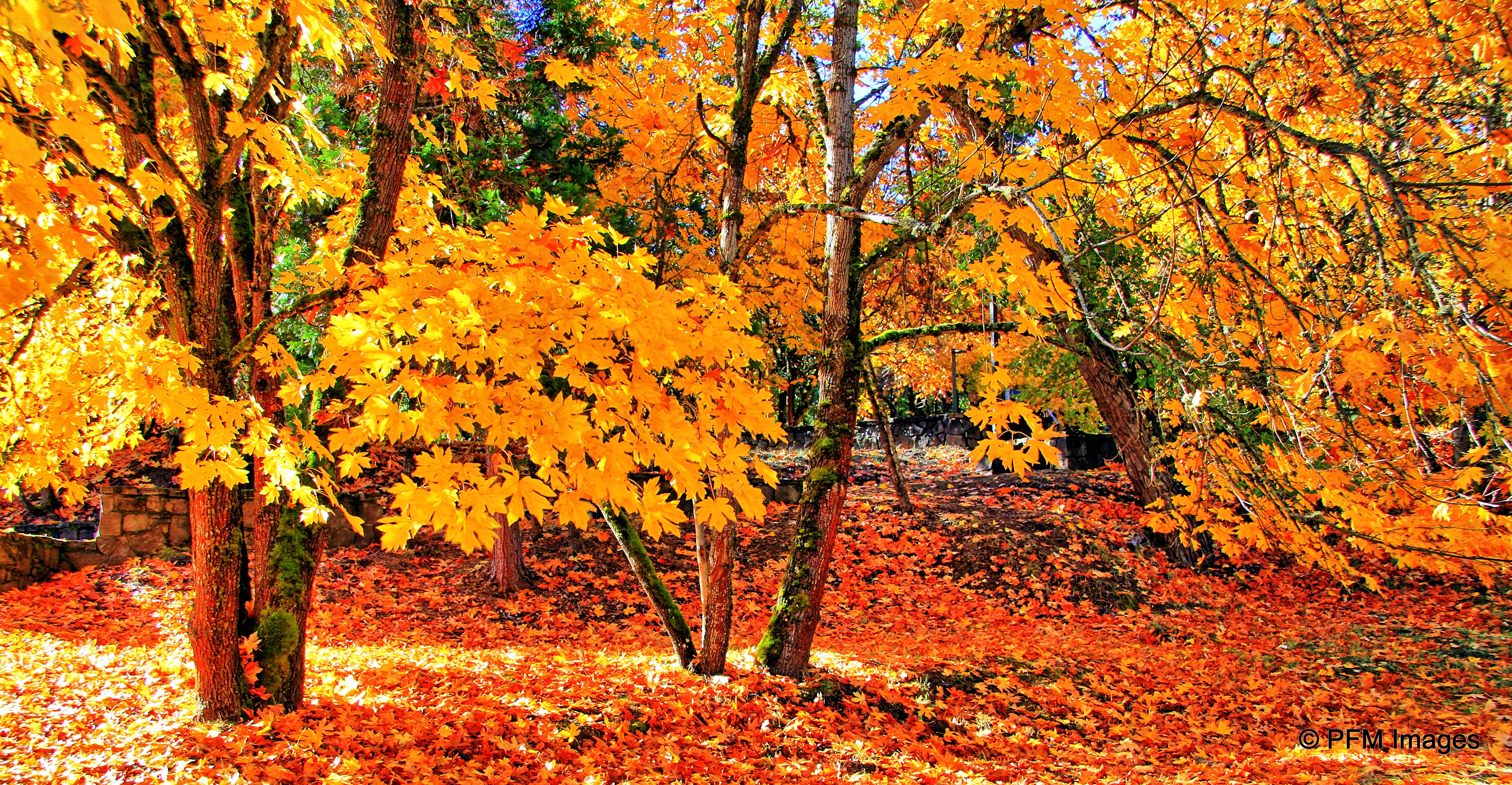
Fall Foliage Jacksonville Oregon

Silver Stream
Frosty Morning Sunrise
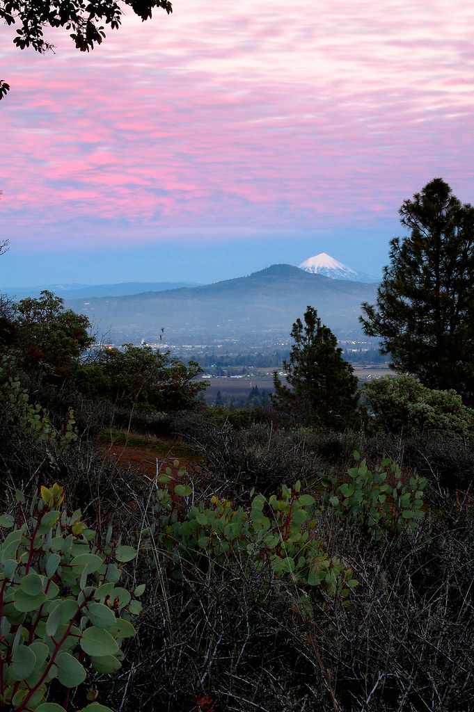
Mount McLoughlin
Hiking Lower Table Rock
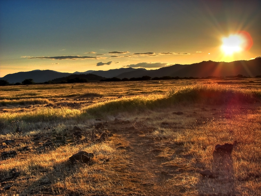
Rogue Valley Sunset

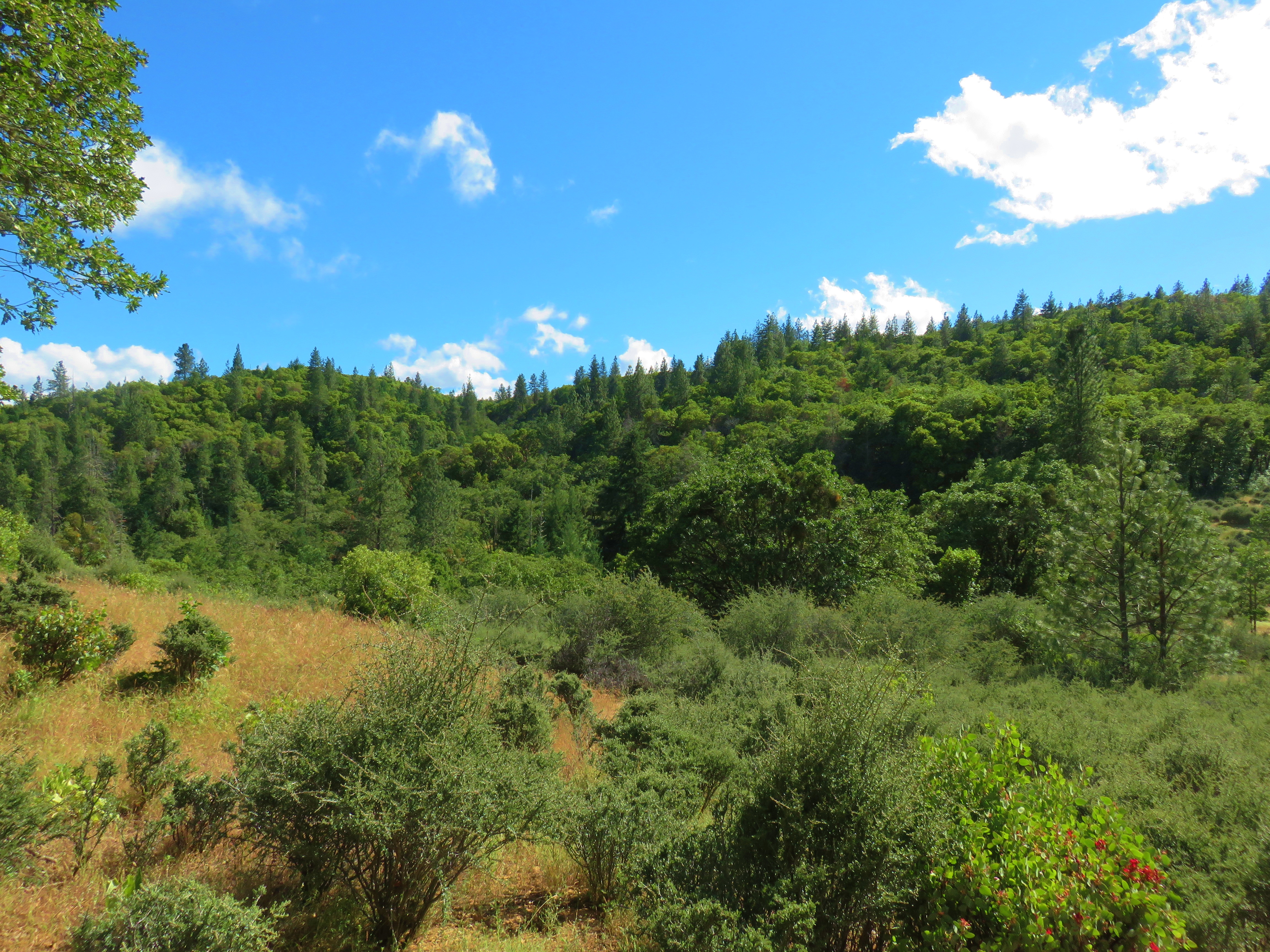
Siskiyou Mountains

Summer 2014
Golden Hue

Hiking Lower Table Rock
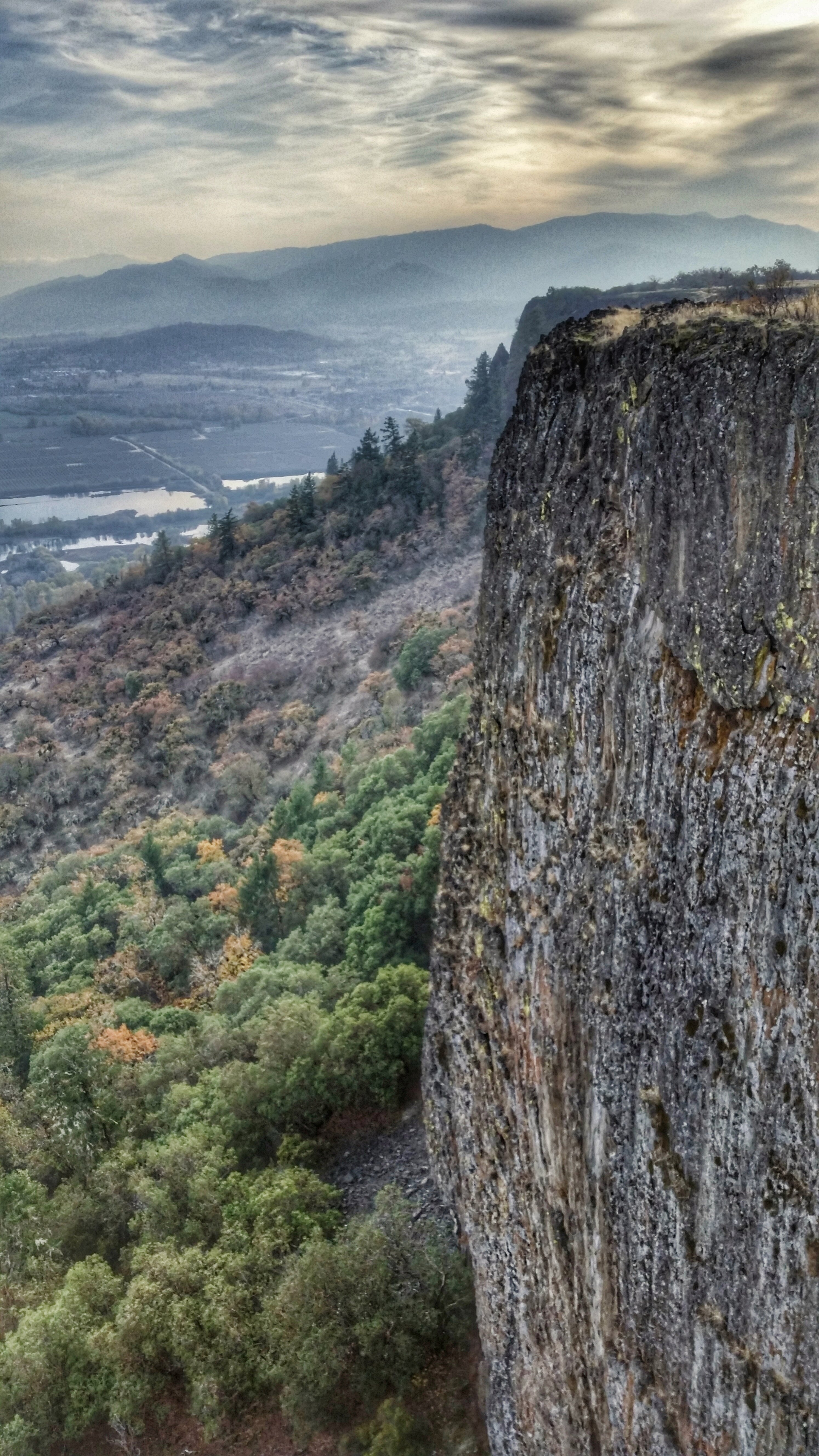
Hiking Lower Table Rock

N374AC AeroFlite Avro RJ85 Tanker 164

Crater Lake
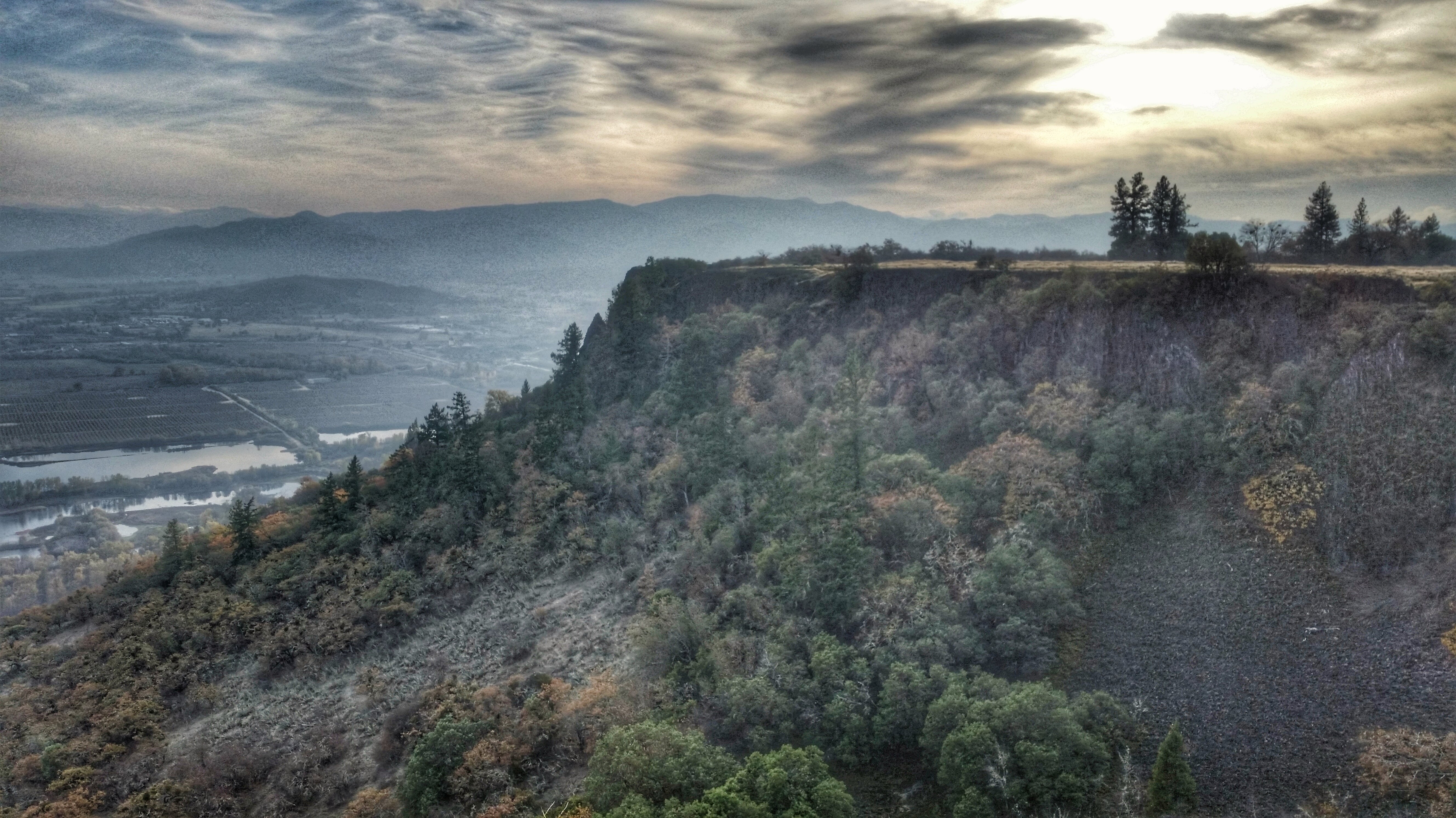
Hiking Lower Table Rock
Topographic Map of Old Stage Rd, Central Point, OR, USA
Find elevation by address:

Places near Old Stage Rd, Central Point, OR, USA:
3346 Old Military Rd
3606 Old Military Rd
99 Dean Dr
Central Point
955 N 5th St
1410 Timothy St
444 Manzanita St
5090 Rock Way
3100 Willow Springs Rd
116 N 10th St
859 Forest Glen Dr
5585 Table Rock Rd
600 Airport Rd
10413 Blackwell Rd
Rogue Valley International-medford Airport
3630 Aviation Way
1590 Delta Waters Rd
State Highway 234
Upper Table Rock
4902 Mcloughlin Dr
Recent Searches:
- Elevation of Holloway Ave, San Francisco, CA, USA
- Elevation of Norfolk, NY, USA
- Elevation of - San Marcos Pass Rd, Santa Barbara, CA, USA
- Elevation of th Pl SE, Issaquah, WA, USA
- Elevation of 82- D Rd, Captain Cook, HI, USA
- Elevation of Harlow CM20 2PR, UK
- Elevation of Shenyang Agricultural University, Dong Ling Lu, Shen He Qu, Shen Yang Shi, Liao Ning Sheng, China
- Elevation of Alpha Dr, Melbourne, FL, USA
- Elevation of Hiroshima University, 1-chōme-3-2 Kagamiyama, Higashihiroshima, Hiroshima -, Japan
- Elevation of Bernina Dr, Lake Arrowhead, CA, USA