Elevation of Upper Table Rock, Oregon, USA
Location: United States > Oregon > Jackson County > White City >
Longitude: -122.91615
Latitude: 42.4798465
Elevation: 634m / 2080feet
Barometric Pressure: 94KPa
Elevation Map:
Satellite Map:
Related Photos:

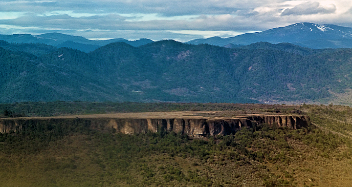
View from Tablerock

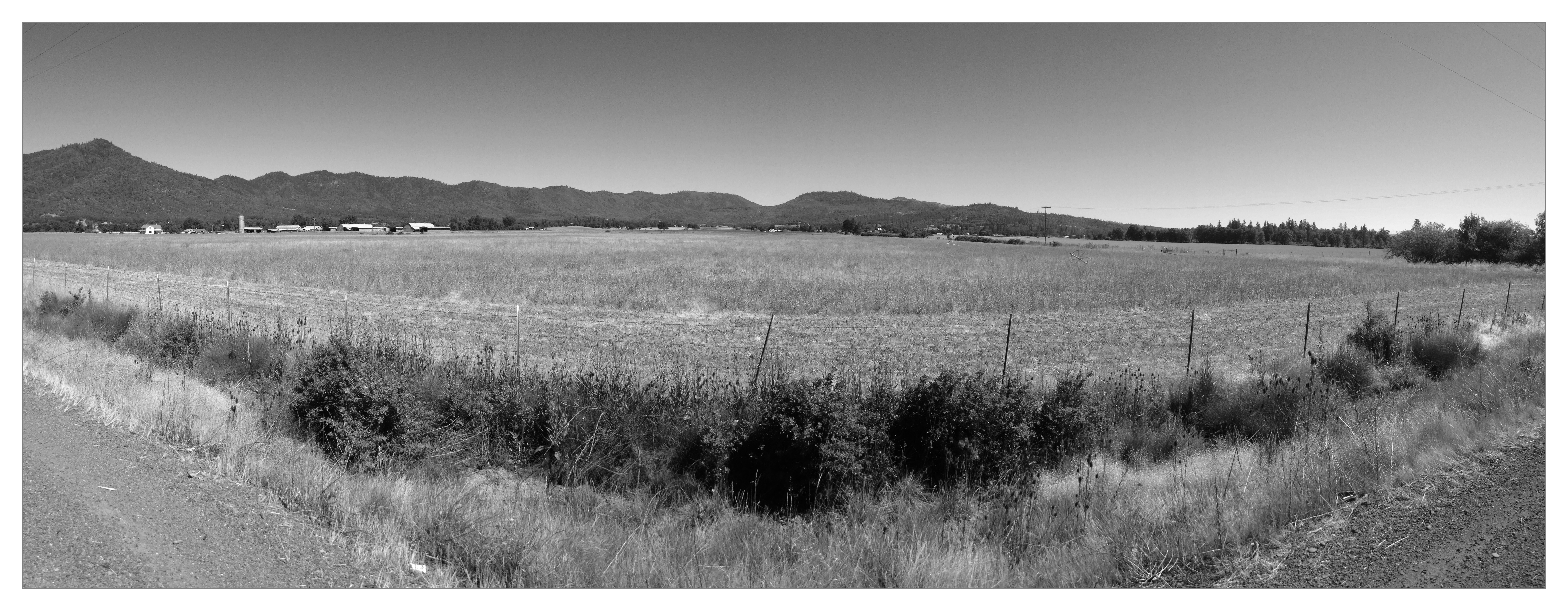
Lower Table Rock and Barn from I-5

I love the view from my house! ????

Harnessing the sun

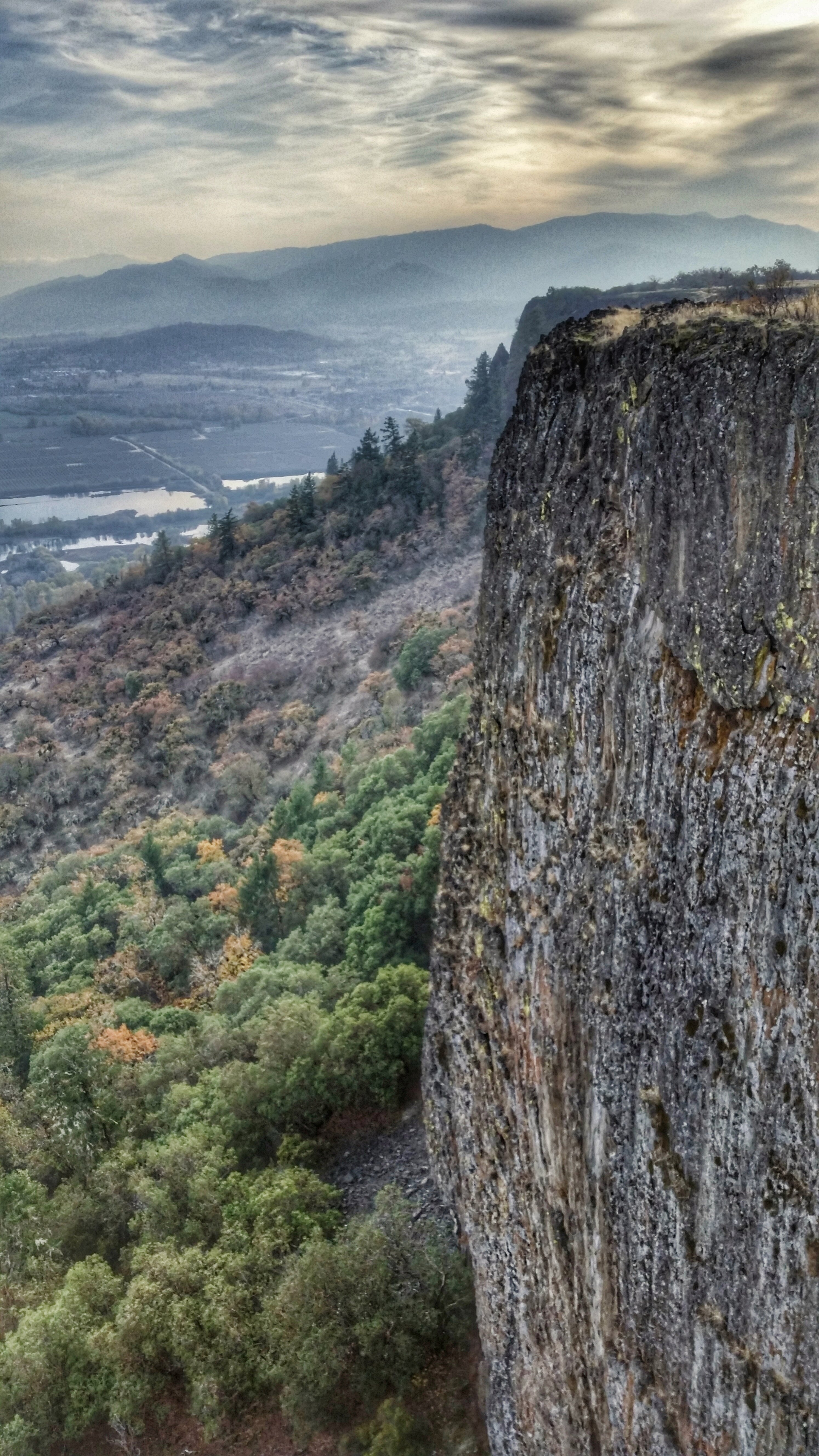
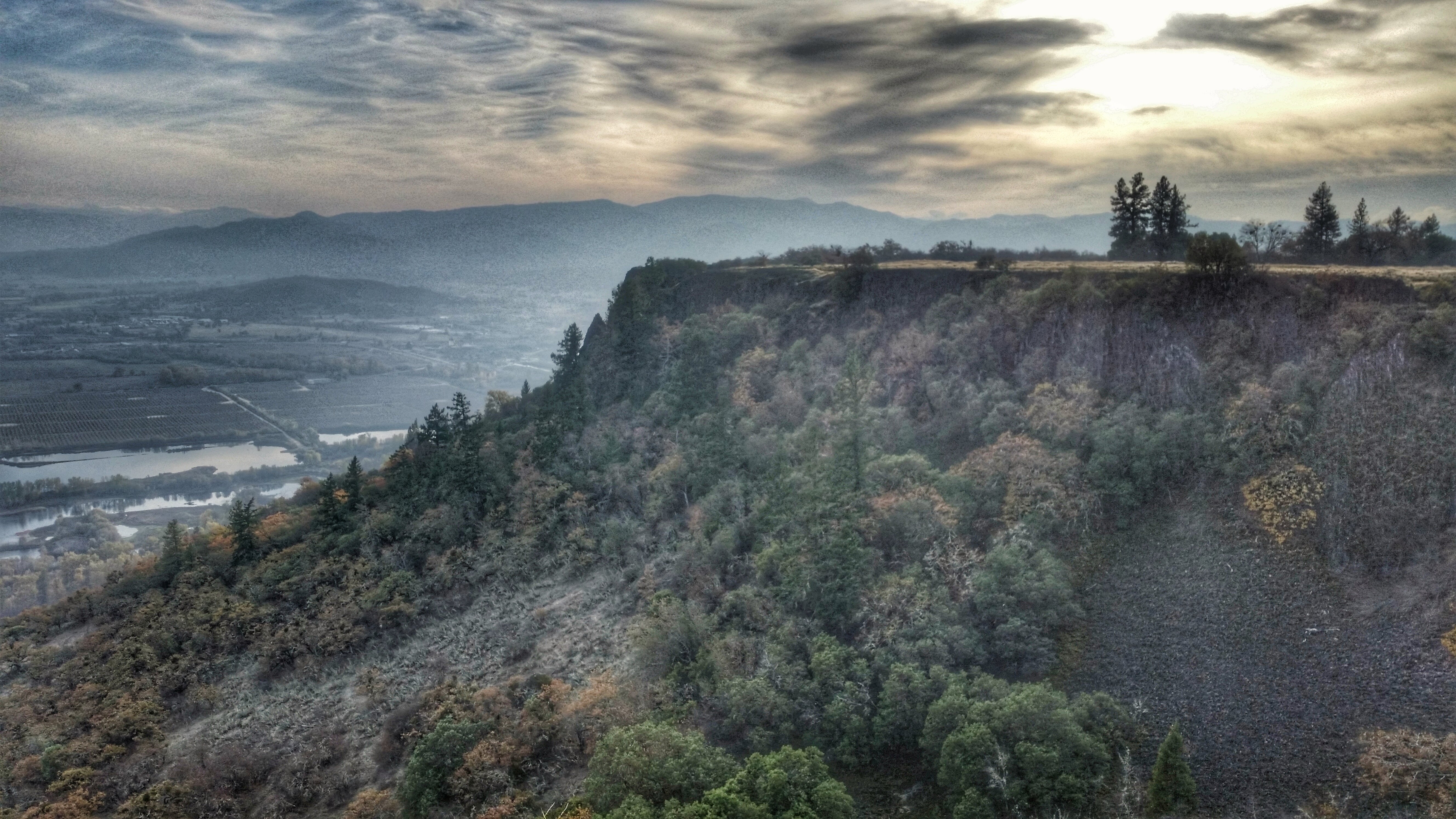
View of Medford Oregon from Upper Table Rock, looking South.

Love the view up here.
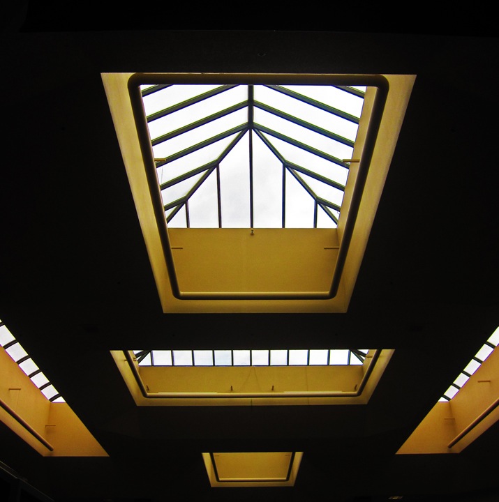
symmetry in skylights
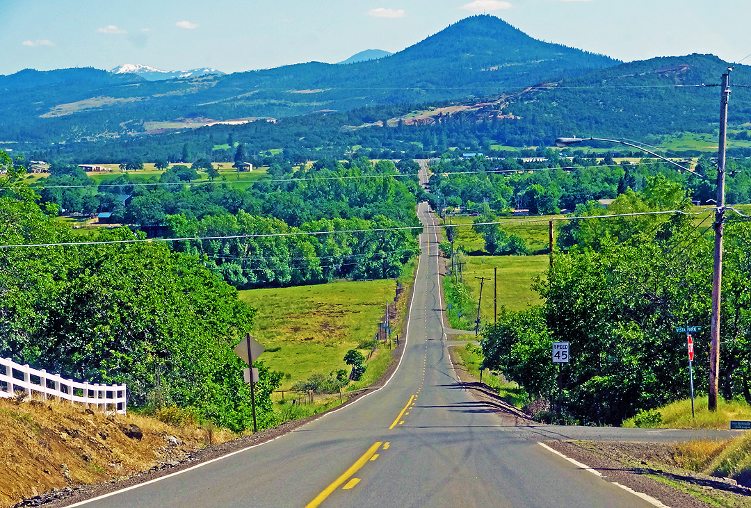
Lovely view of i-5

Life on the farm definitely comes with a beautiful view.
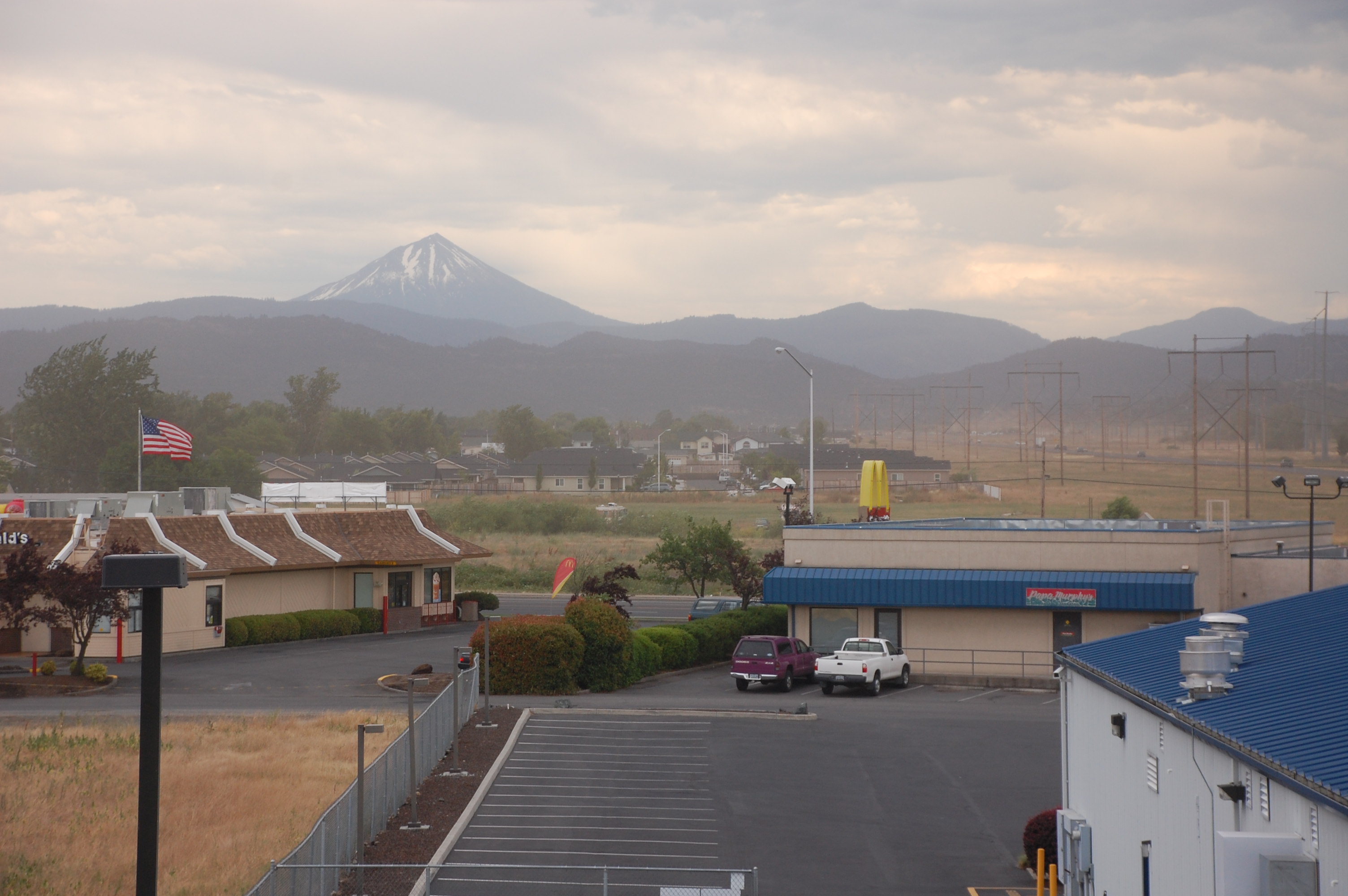
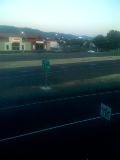
View from White City OR Motel of Mt McLoughlin
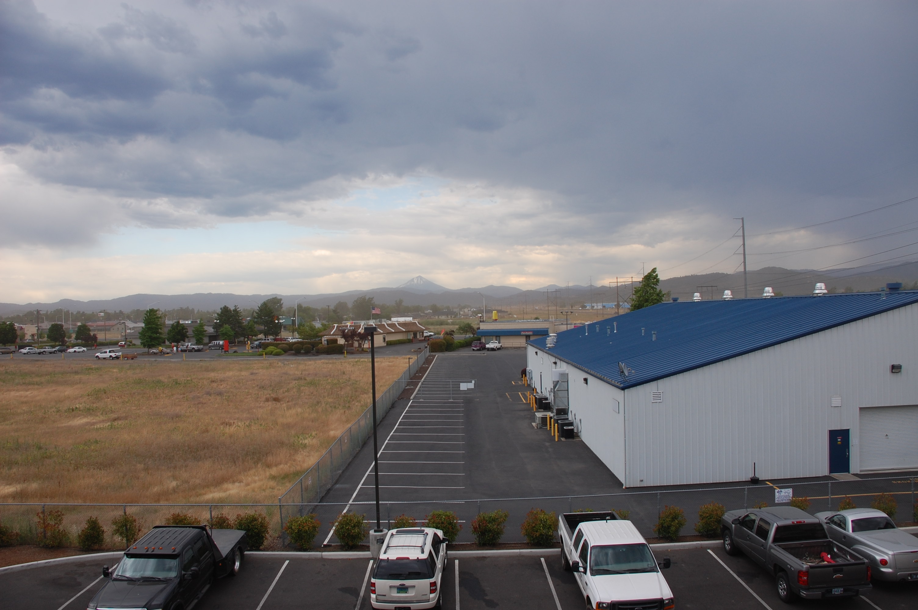
View from White City OR Motel
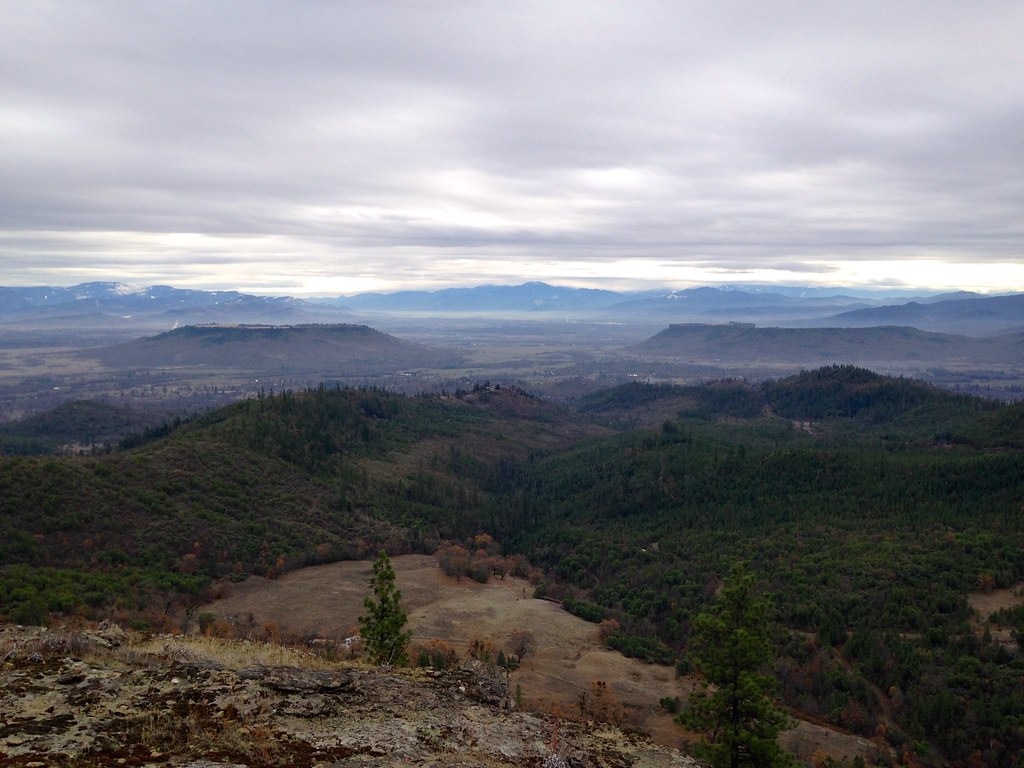
Table Rocks

Ruby-crowned Kinglet (Regulus calendula)

Bullock's Oriole (Icterus bullockii)

DAY 41/365: Shank's Pony
Road to Roxy Ann

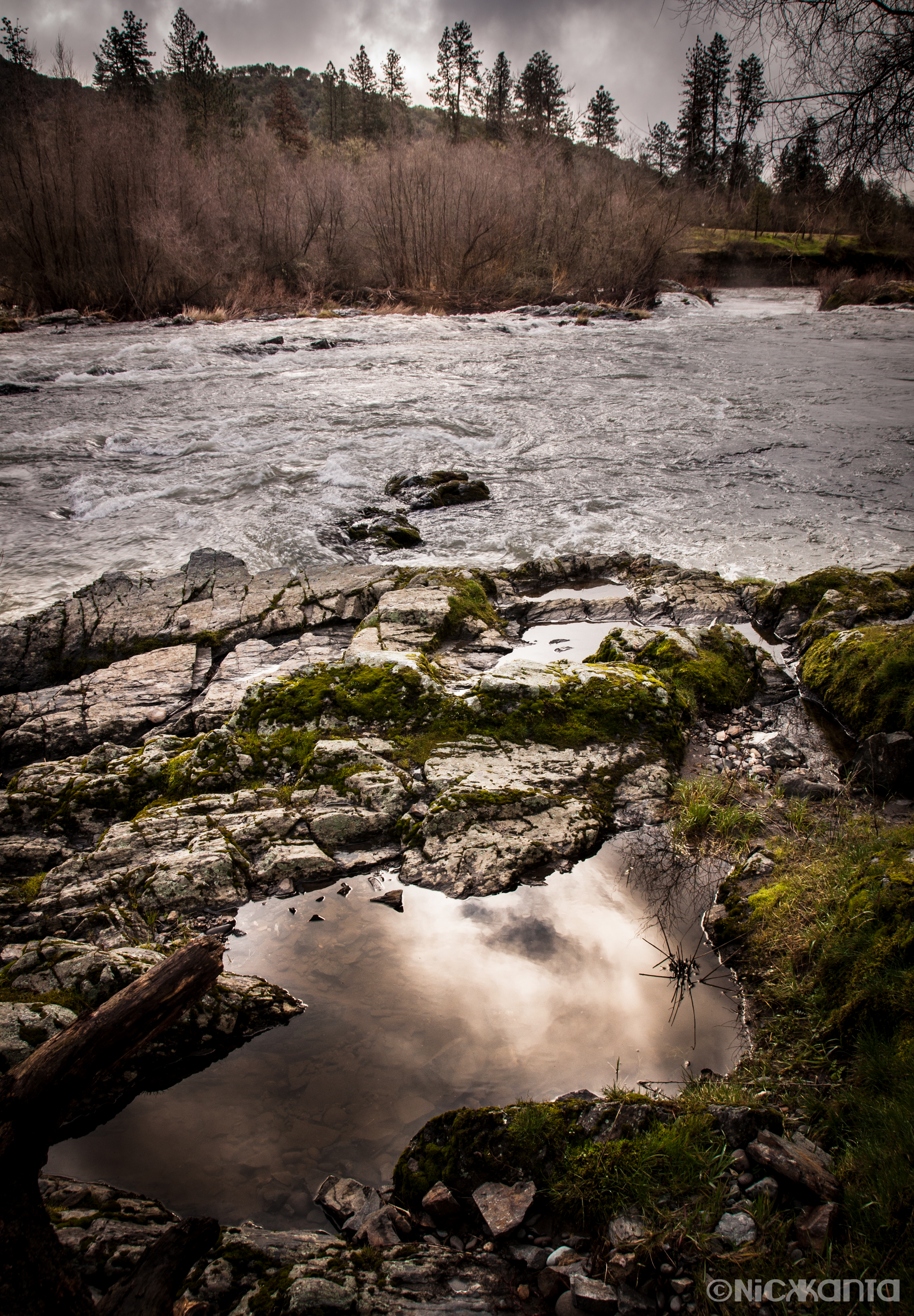
The Rogue River

Hiking Upper Table Rock

Silver Stream
Puddles of Gold

Roundup: JB Dimick readies cows and calves for new pasture. Eagle Point, Oregon 5:14 p.m. 5/11/16
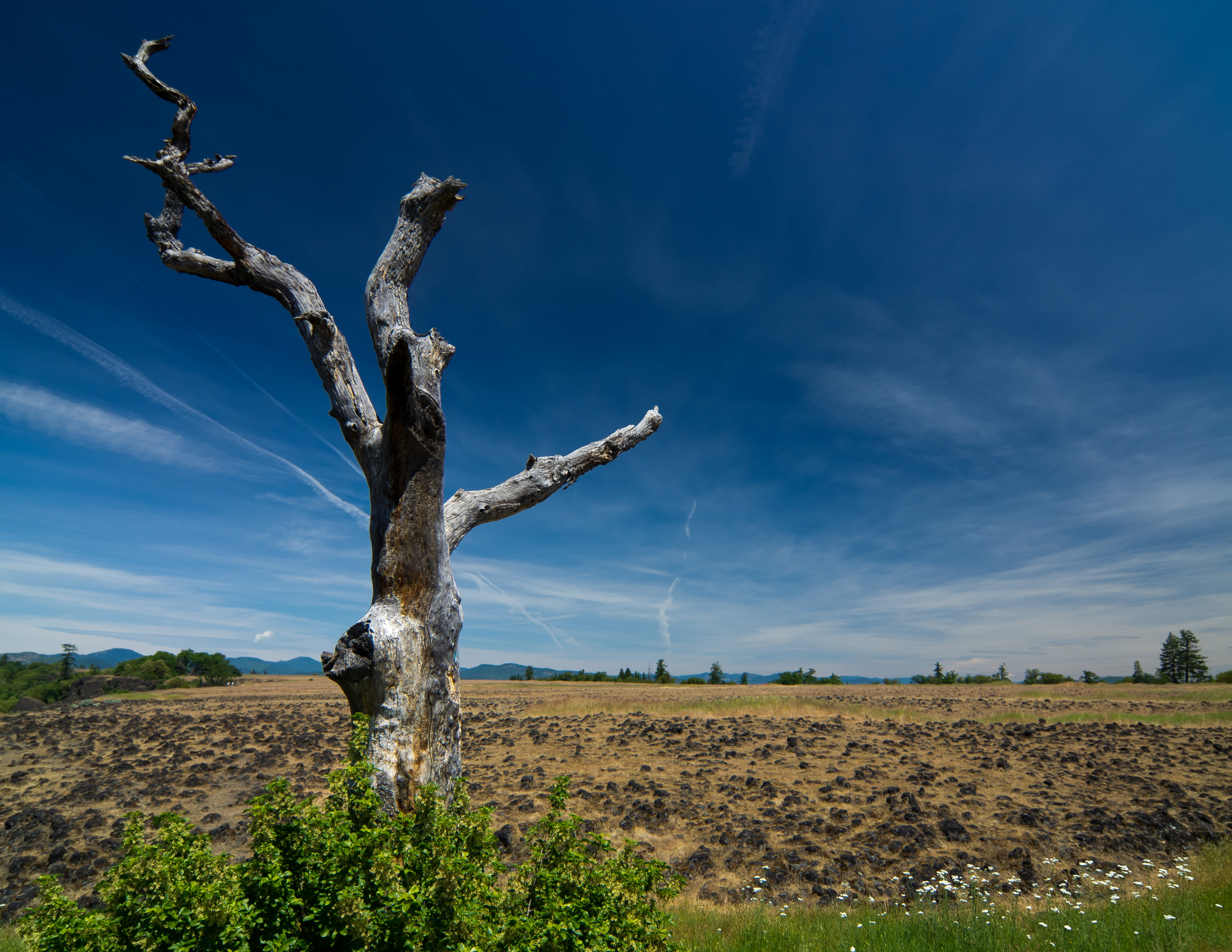
sentinel of wide open spaces
Lower Table Rock 1

The Grants Pass at Gold Ray

Rogue River Valley, Eagle Point Oregon 8:01 p.m. 5/13/16

Golden Hue

Crater Lake

Lower Table Rock

Red Chair 4
Southern Oregon

My Bike on top of Table Rock, Or. Oct 12, 2002
Hiking Lower Table Rock
Hiking Lower Table Rock

yashica_35_test-roll-22
Topographic Map of Upper Table Rock, Oregon, USA
Find elevation by address:

Places near Upper Table Rock, Oregon, USA:
Sams Valley Rd, Gold Hill, OR, USA
3100 Willow Springs Rd
5585 Table Rock Rd
5090 Rock Way
1008 Lexington Dr
Gladstone Ave, White City, OR, USA
White City
955 N 5th St
3600 Ave G
116 N 10th St
444 Manzanita St
Central Point
99 Dean Dr
979 Win Way
10413 Blackwell Rd
227 Princeville Dr
251 Northview Dr
288 Princeville Dr
Eagle Point
Eagle Point High School
Recent Searches:
- Elevation of Spaceport America, Co Rd A, Truth or Consequences, NM, USA
- Elevation of Warwick, RI, USA
- Elevation of Fern Rd, Whitmore, CA, USA
- Elevation of 62 Abbey St, Marshfield, MA, USA
- Elevation of Fernwood, Bradenton, FL, USA
- Elevation of Felindre, Swansea SA5 7LU, UK
- Elevation of Leyte Industrial Development Estate, Isabel, Leyte, Philippines
- Elevation of W Granada St, Tampa, FL, USA
- Elevation of Pykes Down, Ivybridge PL21 0BY, UK
- Elevation of Jalan Senandin, Lutong, Miri, Sarawak, Malaysia