Elevation of Sams Valley Rd, Gold Hill, OR, USA
Location: United States > Oregon > Jackson County > Gold Hill >
Longitude: -122.97504
Latitude: 42.491485
Elevation: 390m / 1280feet
Barometric Pressure: 97KPa
Elevation Map:
Satellite Map:
Related Photos:
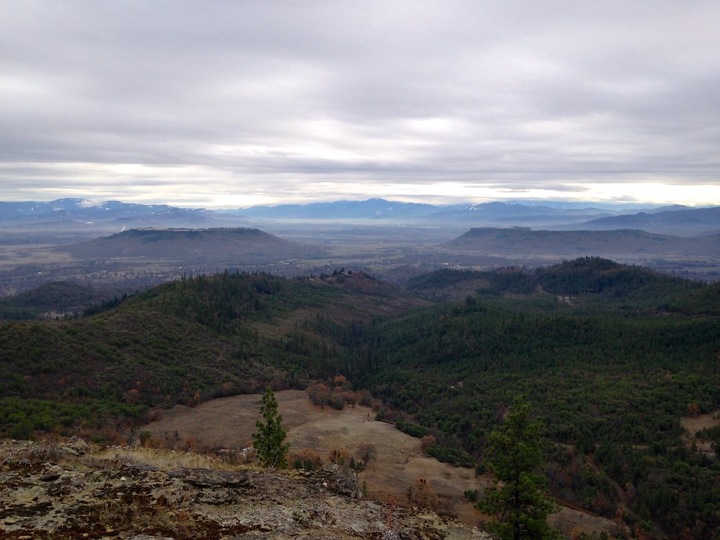
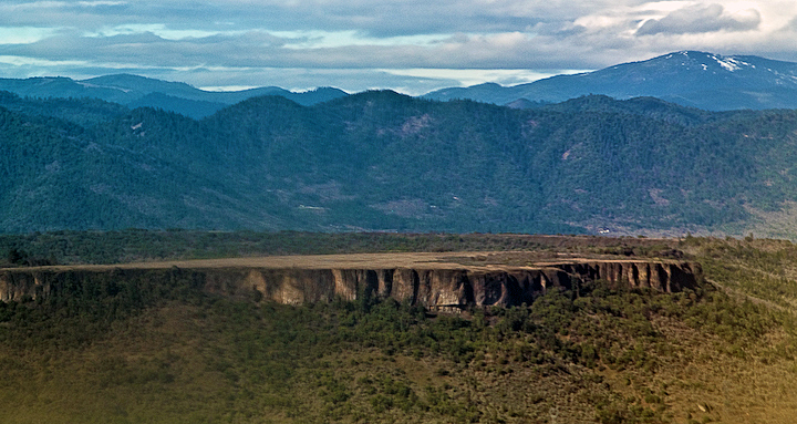
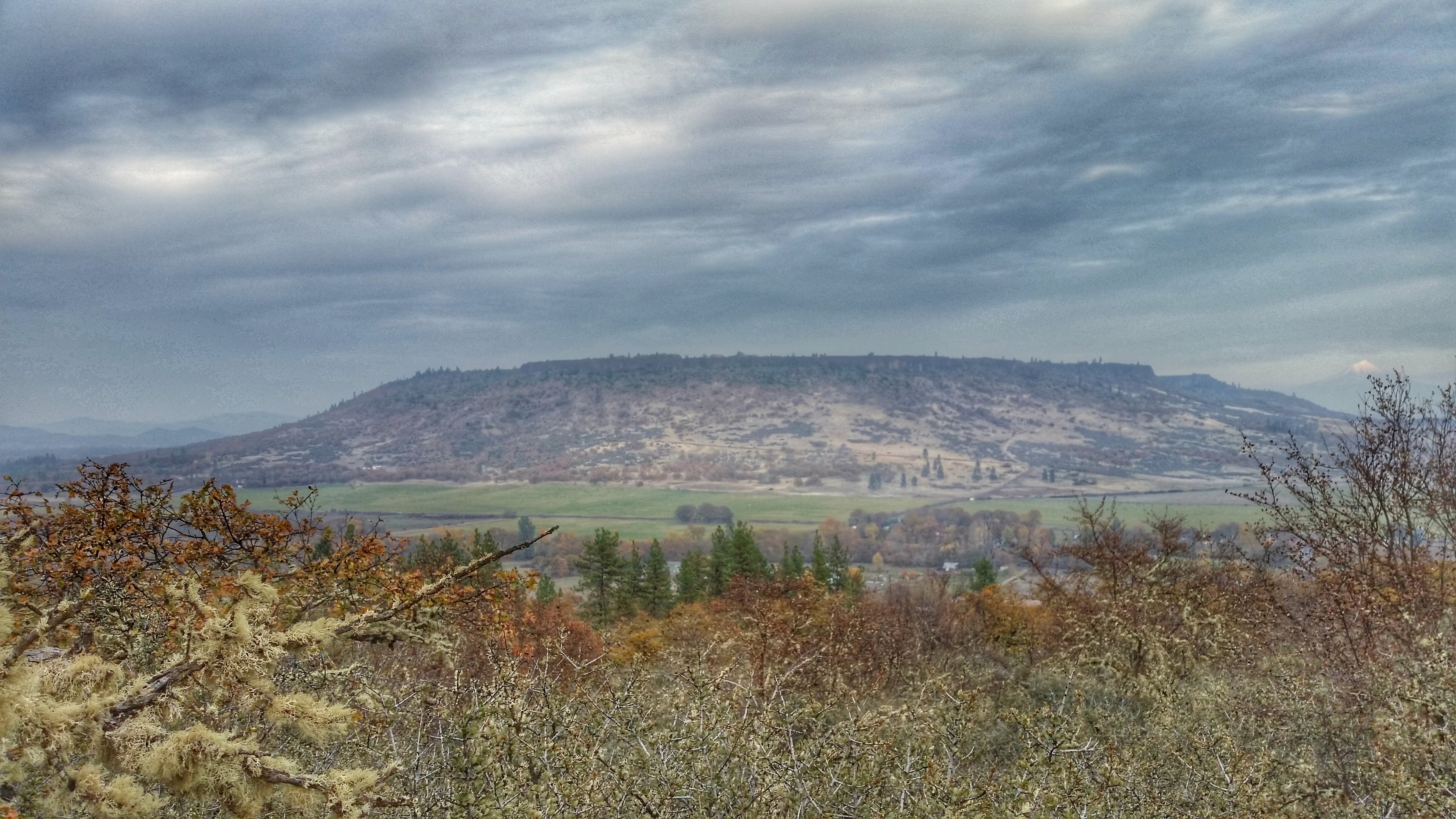
Table Rocks

Ruby-crowned Kinglet (Regulus calendula)

Bullock's Oriole (Icterus bullockii)

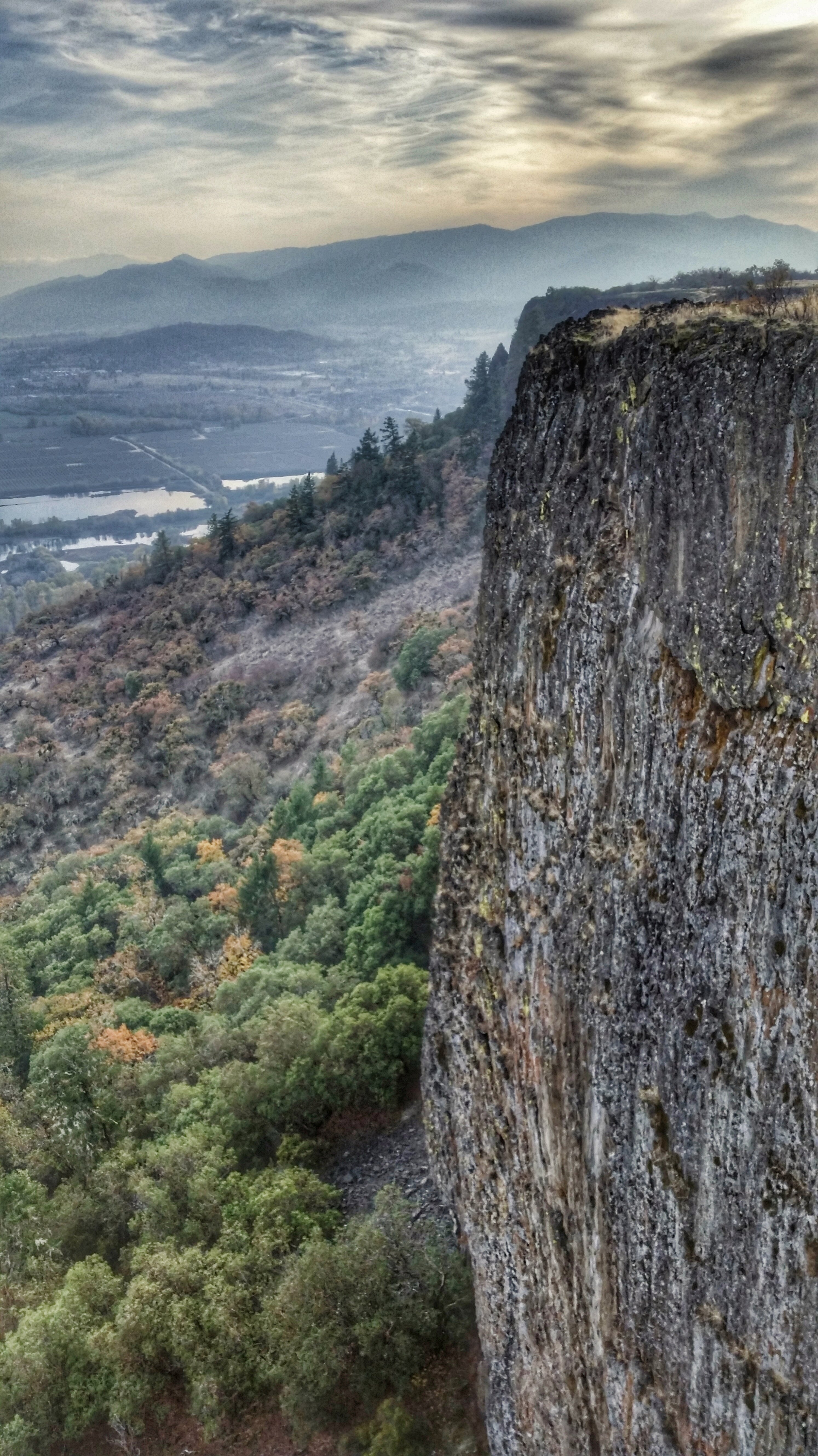
View from Tablerock
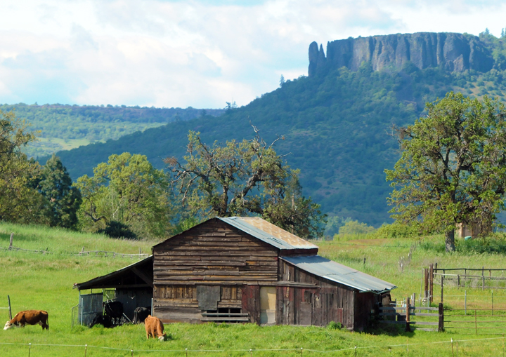
Lower Table Rock and Barn from I-5

Harnessing the sun

View of Medford Oregon from Upper Table Rock, looking South.

Love the view up here.
Lovely view of i-5

Life on the farm definitely comes with a beautiful view.
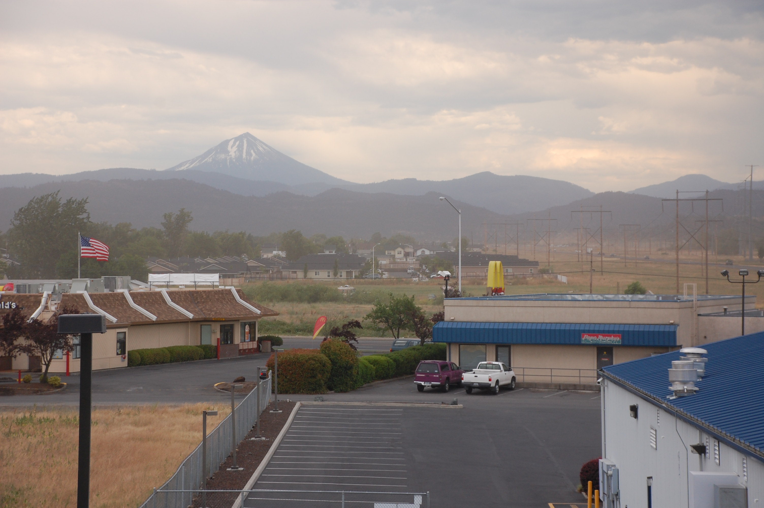
View from White City OR Motel of Mt McLoughlin
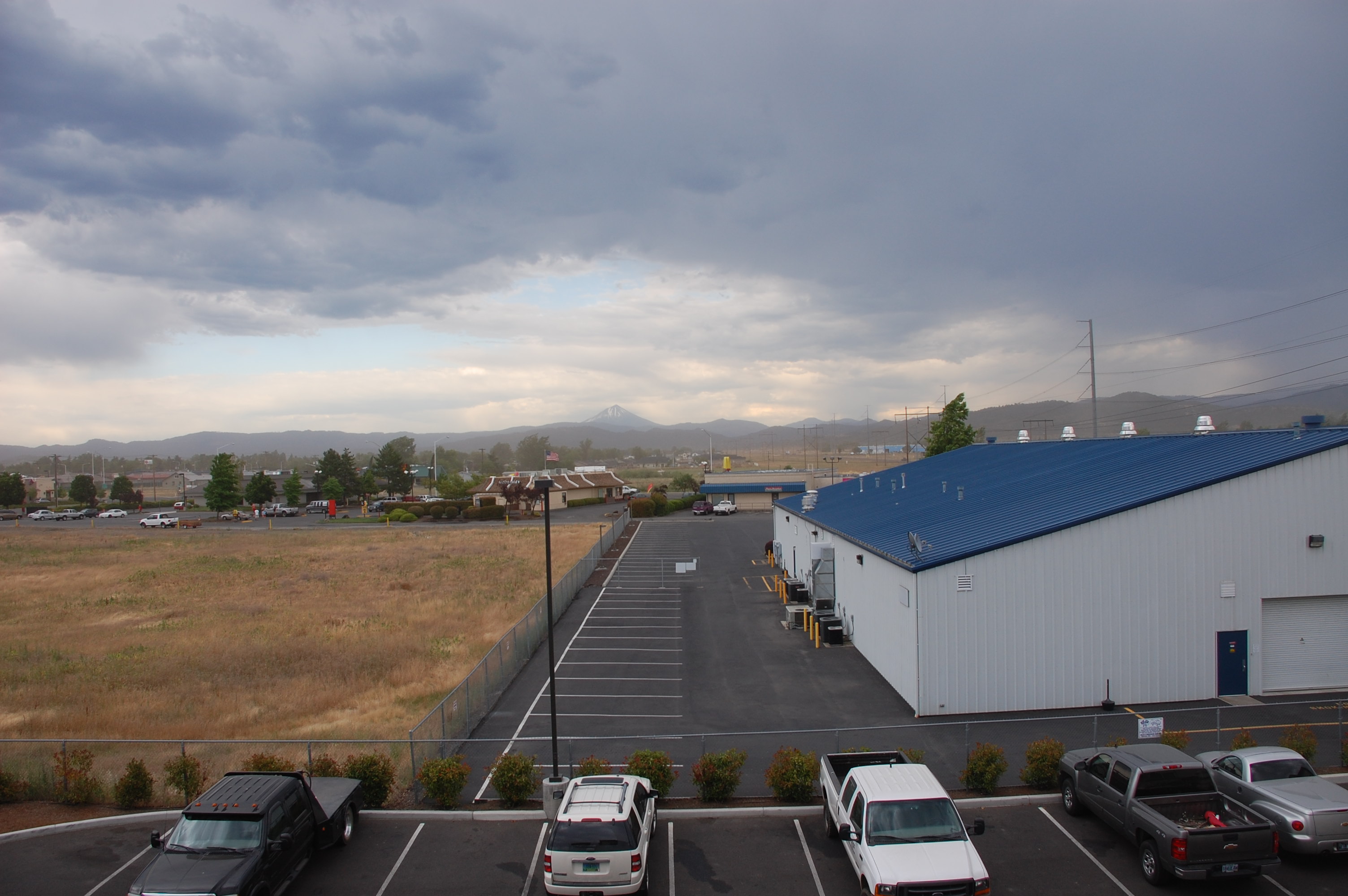
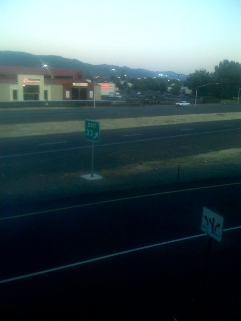
View from White City OR Motel

yashica_35_test-roll-22

Hiking Upper Table Rock
Puddles of Gold

Silver Stream

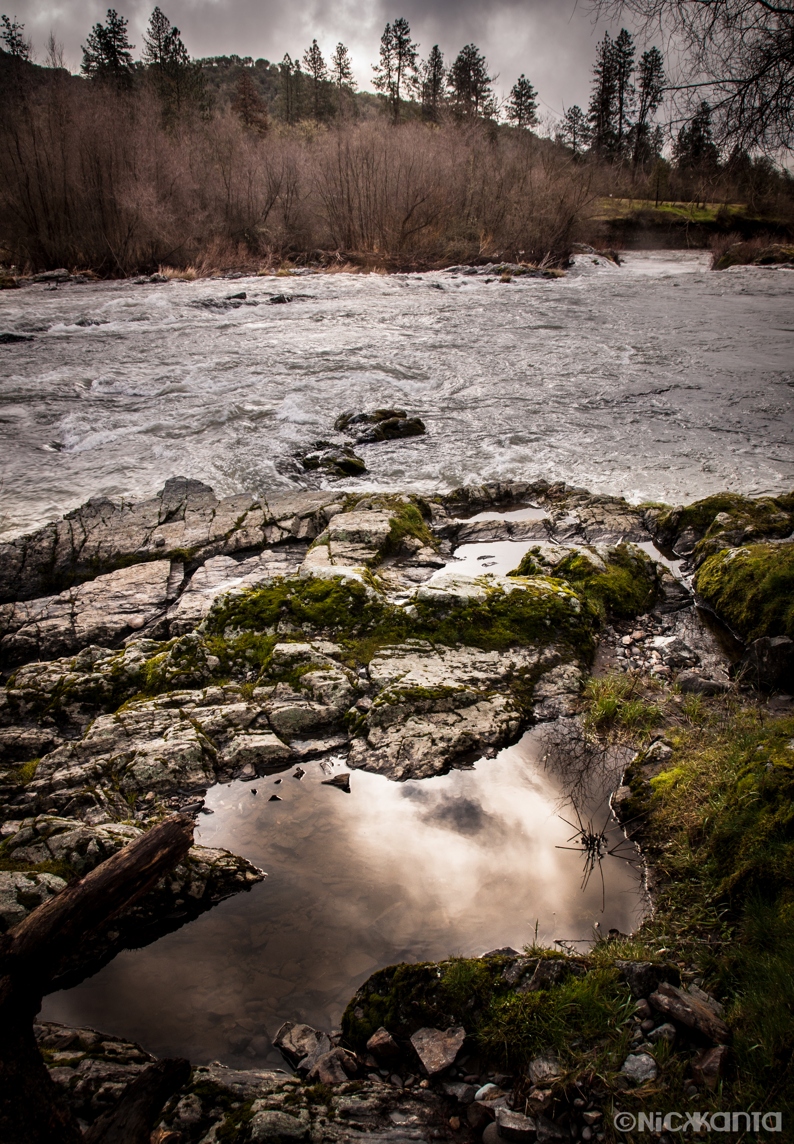
The Rogue River

Crater Lake
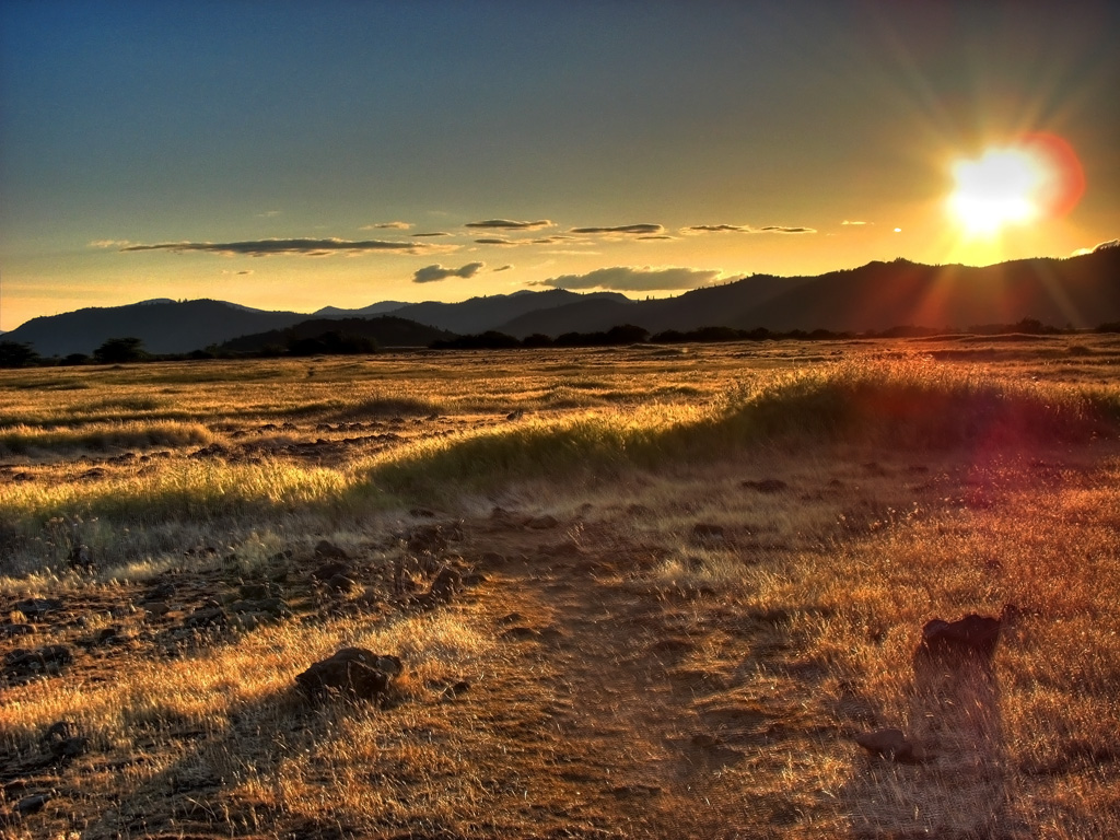
Golden Hue
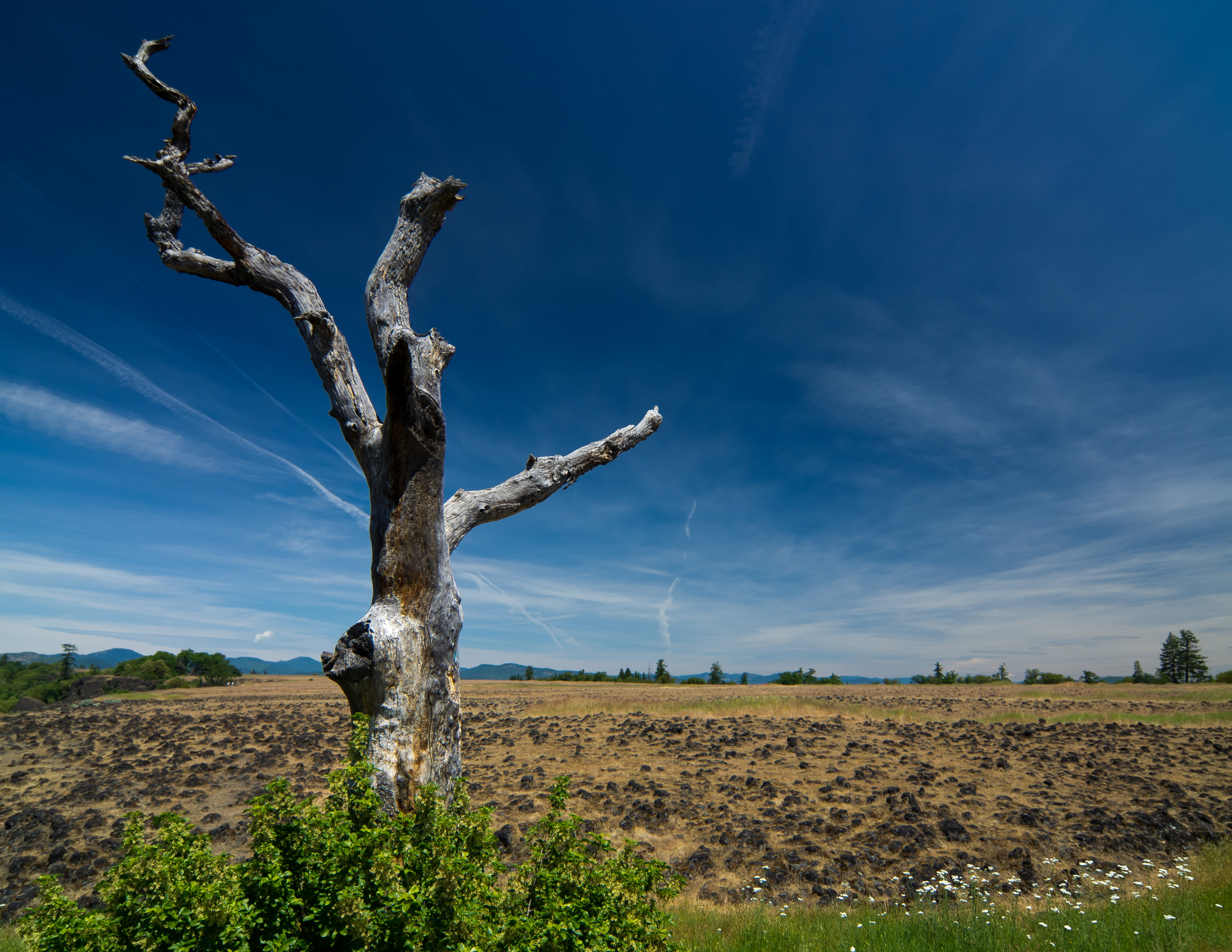
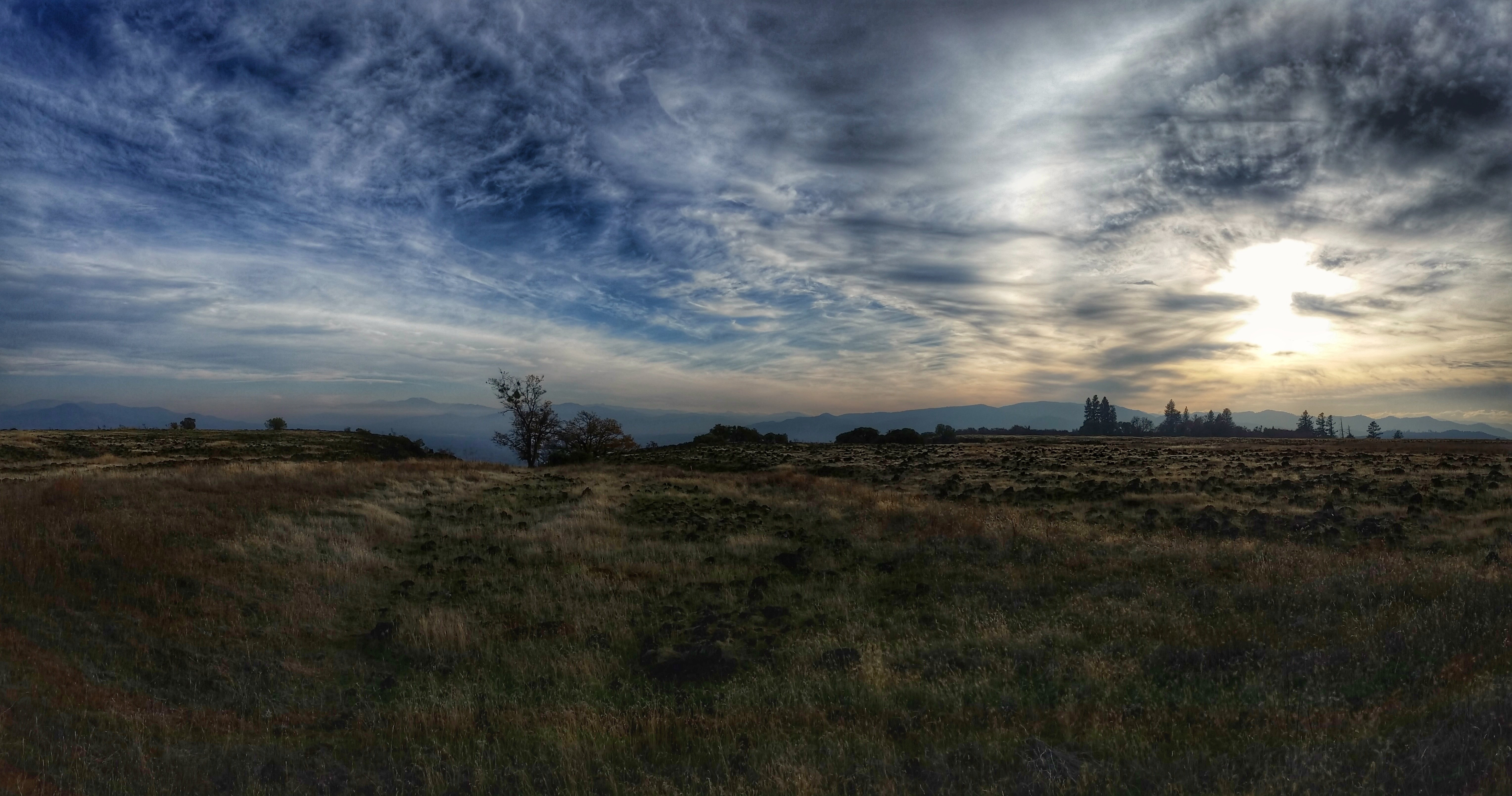
sentinel of wide open spaces

Lower Table Rock
Lower Table Rock 1
Hiking Lower Table Rock
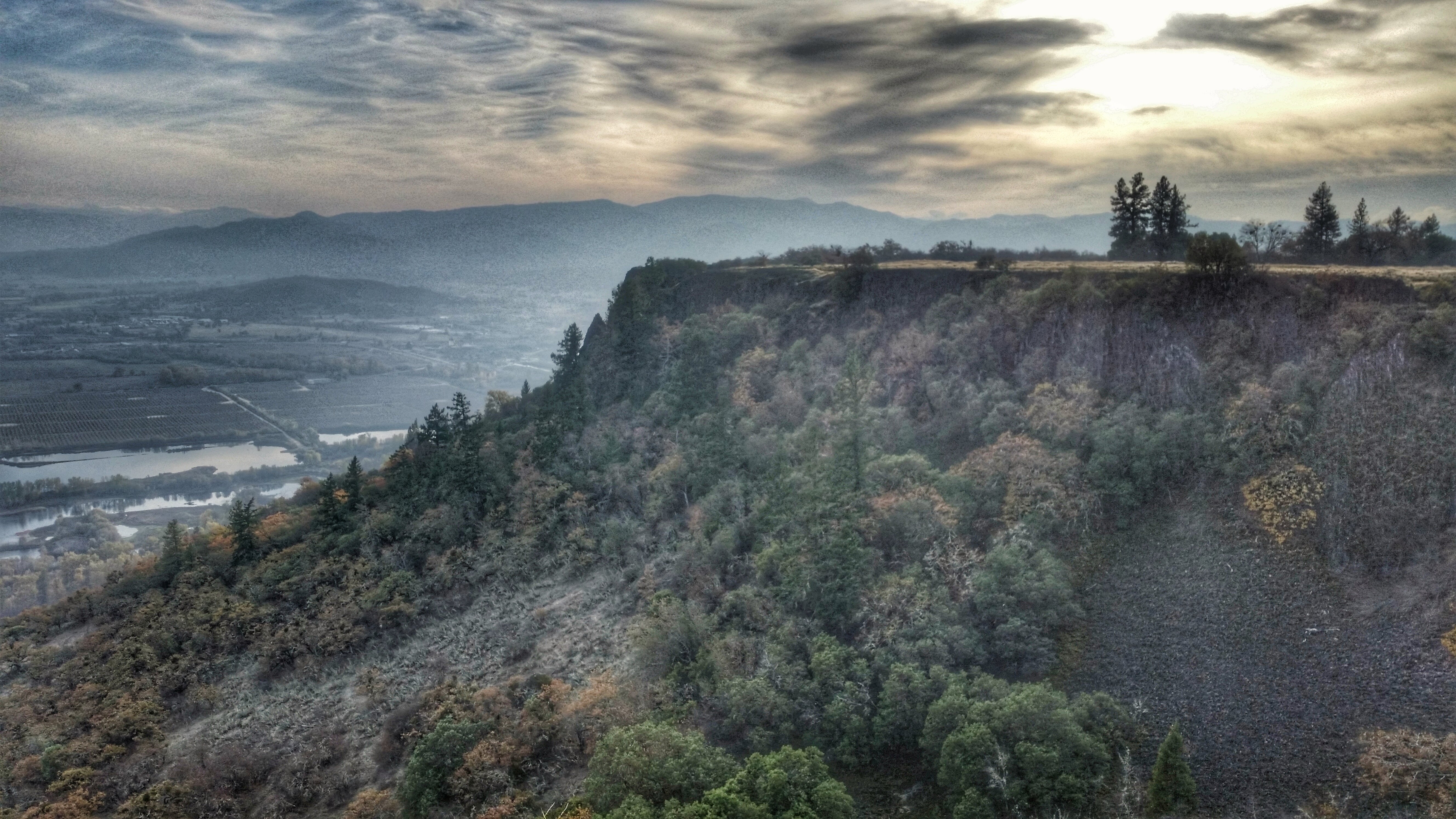
Hiking Lower Table Rock

My Bike on top of Table Rock, Or. Oct 12, 2002
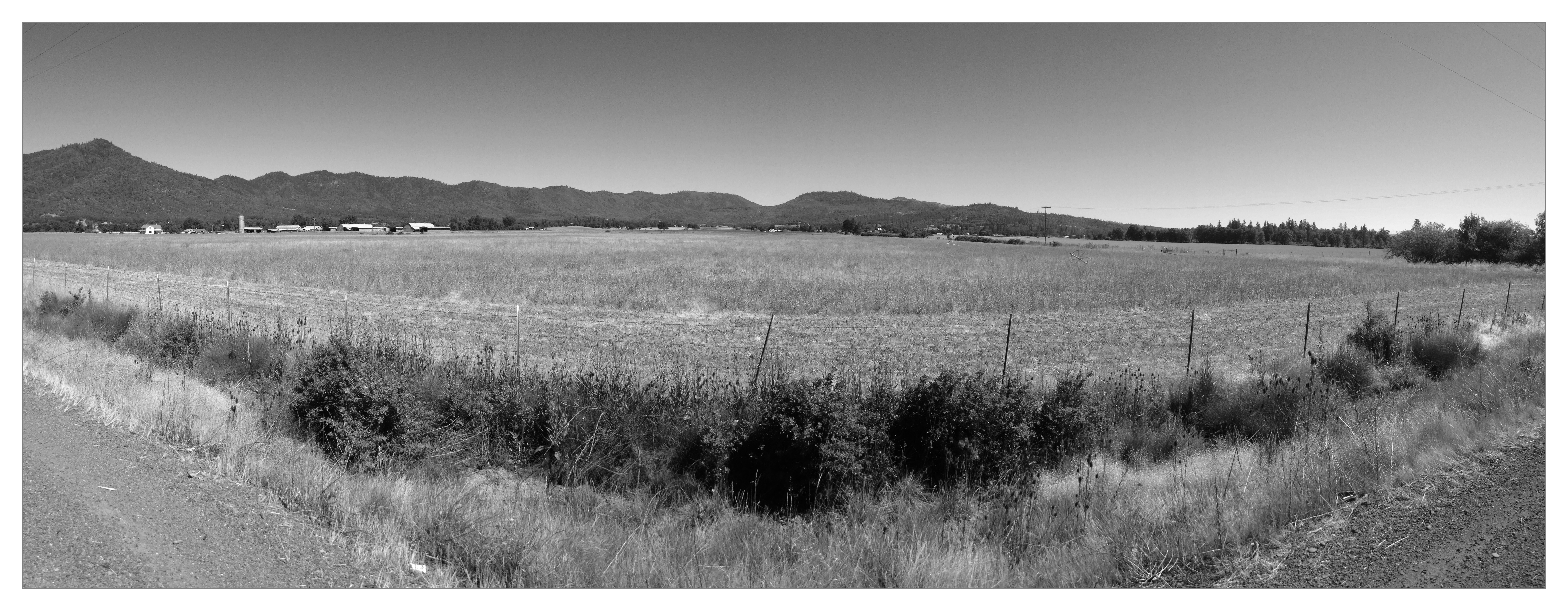
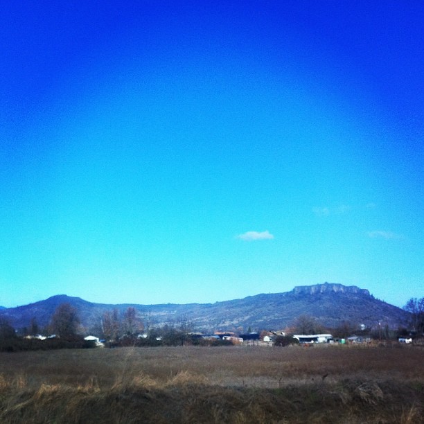
Southern Oregon
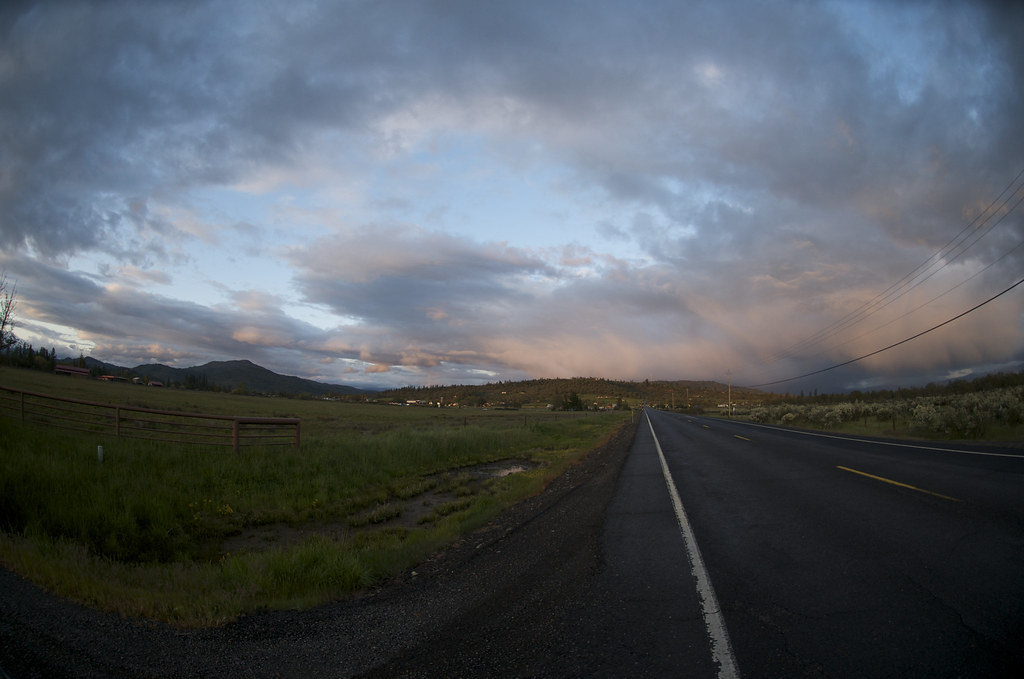
Oregon Road
Hiking Lower Table Rock
Beautiful day outside of Medford. The plateau rocks are very cool.
Hiking Lower Table Rock

The Grants Pass at Gold Ray
Topographic Map of Sams Valley Rd, Gold Hill, OR, USA
Find elevation by address:

Places near Sams Valley Rd, Gold Hill, OR, USA:
Upper Table Rock
10413 Blackwell Rd
State Highway 234
3100 Willow Springs Rd
99 Dean Dr
5090 Rock Way
955 N 5th St
3606 Old Military Rd
5585 Table Rock Rd
3346 Old Military Rd
3343 Old Stage Rd
Central Point
116 N 10th St
444 Manzanita St
1410 Timothy St
1008 Lexington Dr
859 Forest Glen Dr
Gladstone Ave, White City, OR, USA
White City
600 Airport Rd
Recent Searches:
- Elevation of Corso Fratelli Cairoli, 35, Macerata MC, Italy
- Elevation of Tallevast Rd, Sarasota, FL, USA
- Elevation of 4th St E, Sonoma, CA, USA
- Elevation of Black Hollow Rd, Pennsdale, PA, USA
- Elevation of Oakland Ave, Williamsport, PA, USA
- Elevation of Pedrógão Grande, Portugal
- Elevation of Klee Dr, Martinsburg, WV, USA
- Elevation of Via Roma, Pieranica CR, Italy
- Elevation of Tavkvetili Mountain, Georgia
- Elevation of Hartfords Bluff Cir, Mt Pleasant, SC, USA