Elevation of Blackwell Rd, Central Point, OR, USA
Location: United States > Oregon > Jackson County > Central Point >
Longitude: -123.00819
Latitude: 42.4182303
Elevation: 374m / 1227feet
Barometric Pressure: 97KPa
Elevation Map:
Satellite Map:
Related Photos:
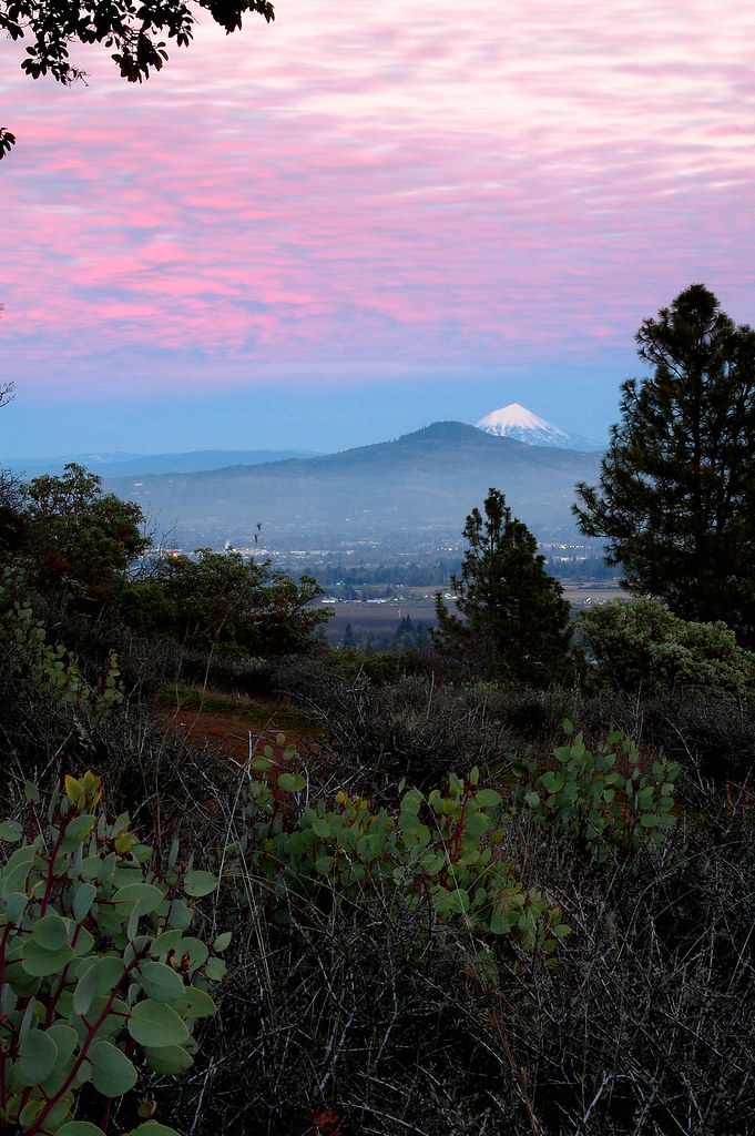
Jacksonville Viewpoint
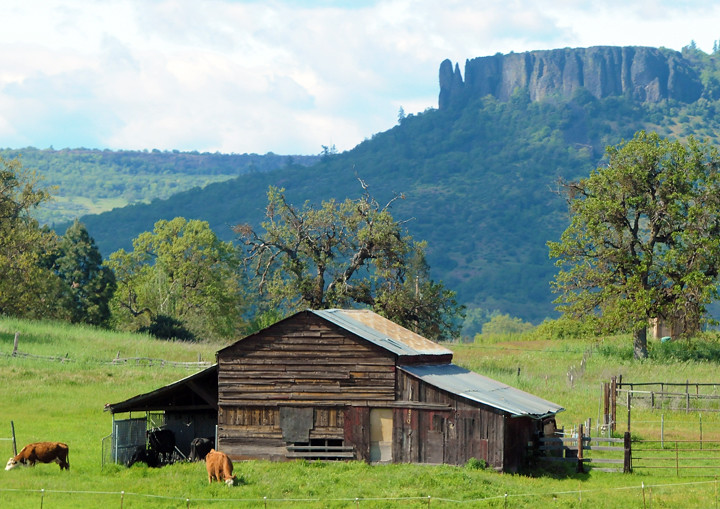
Lower Table Rock and Barn from I-5
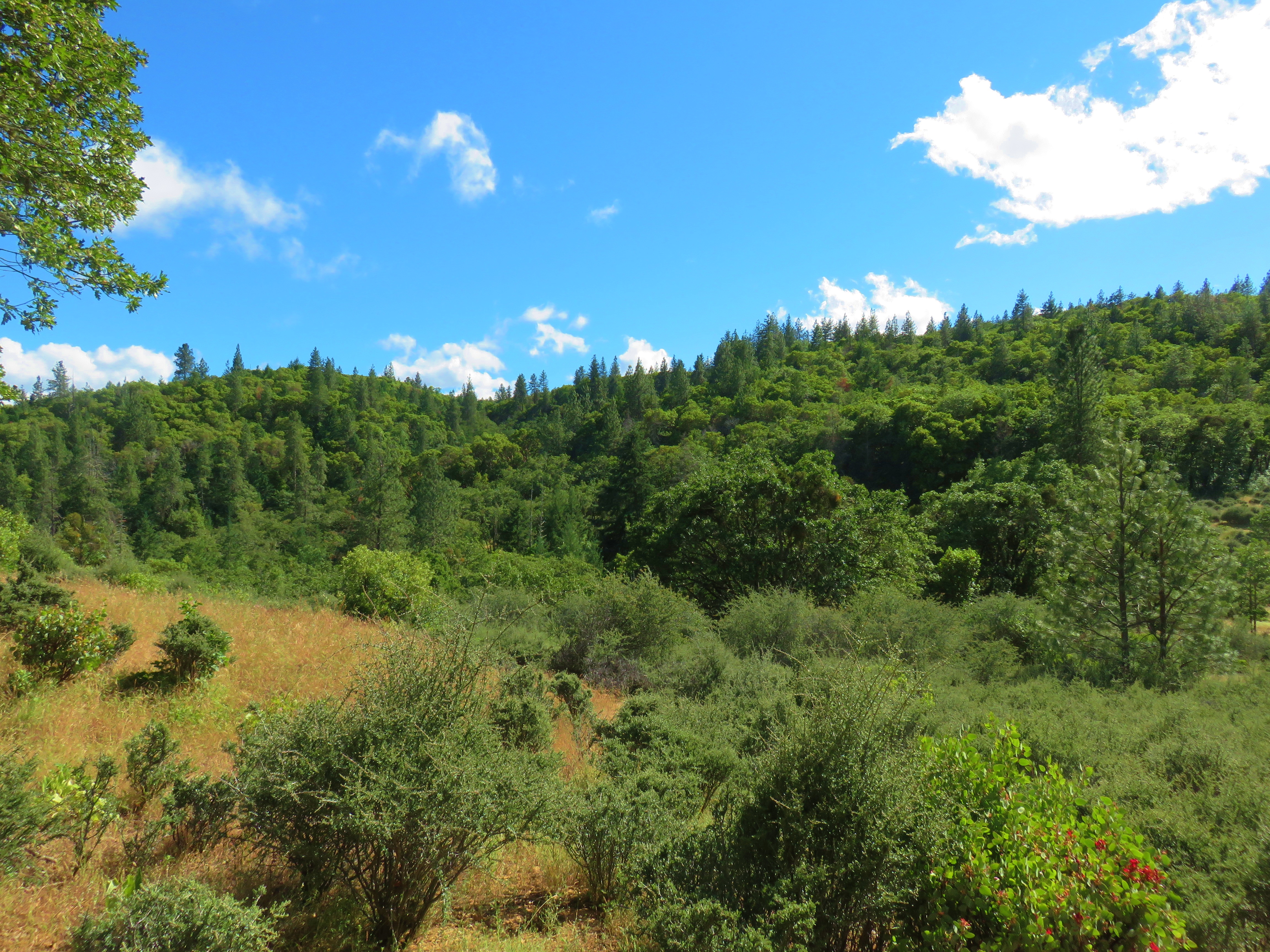
The View from Here.
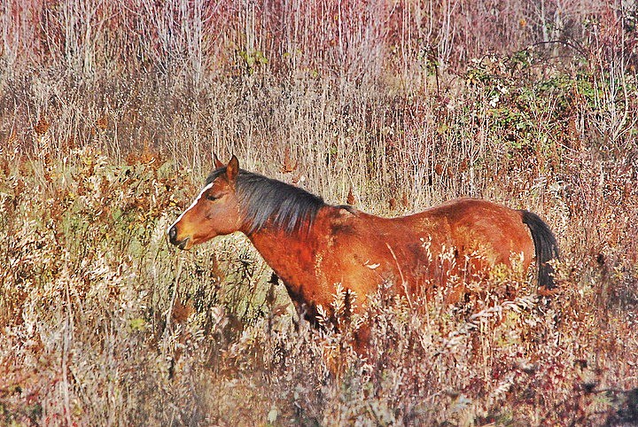
horse in tall grass

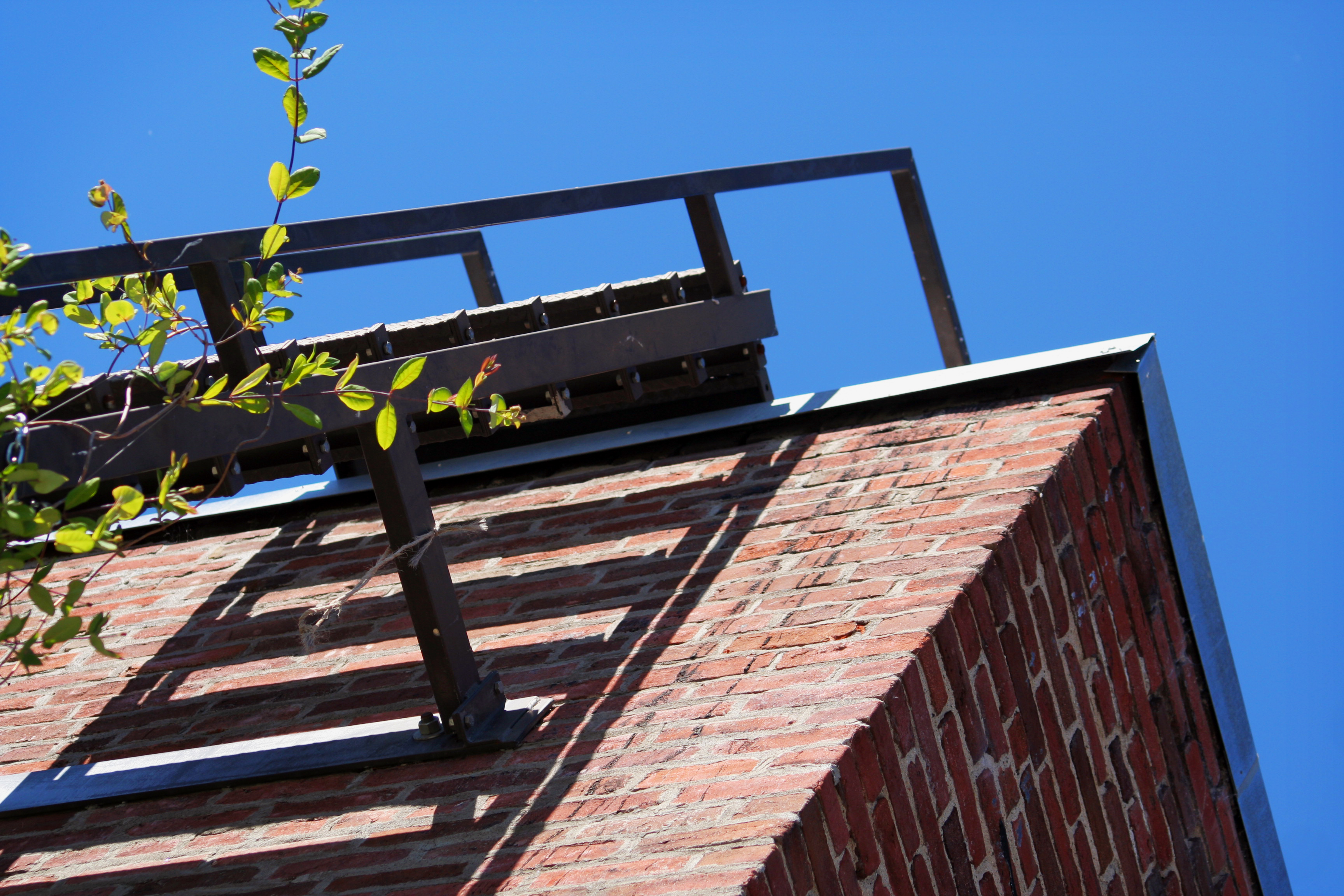
Harnessing the sun
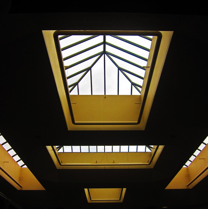
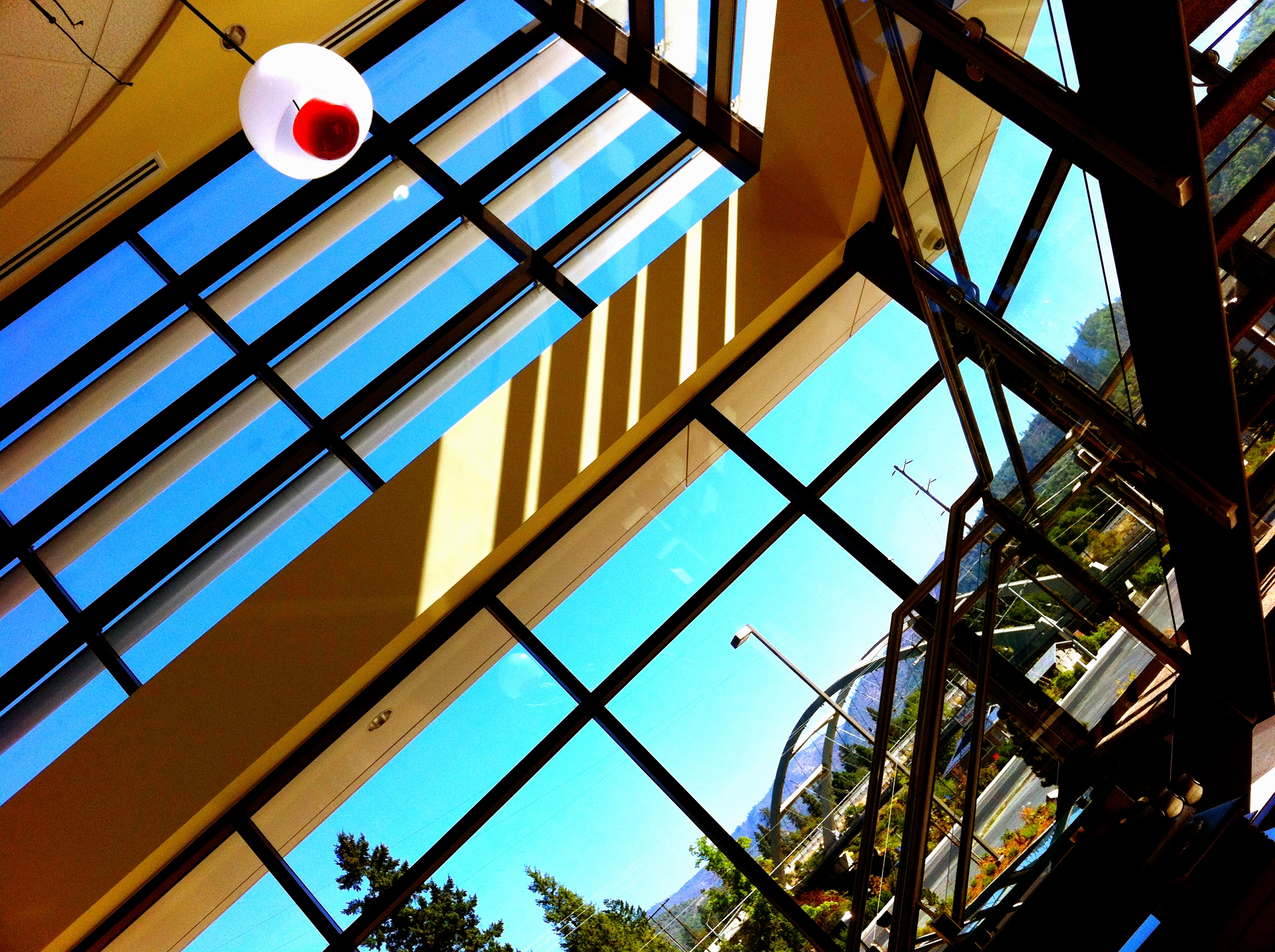
symmetry in skylights

Walking with the shutter open

View of Medford Oregon from Upper Table Rock, looking South.

View from a porch. On our way to first @harryanddavid related dinner

This was my view for one very unpleasant meal
View from the Rich Gulch Trail
DAY 193/365: Old Town Fire Escape
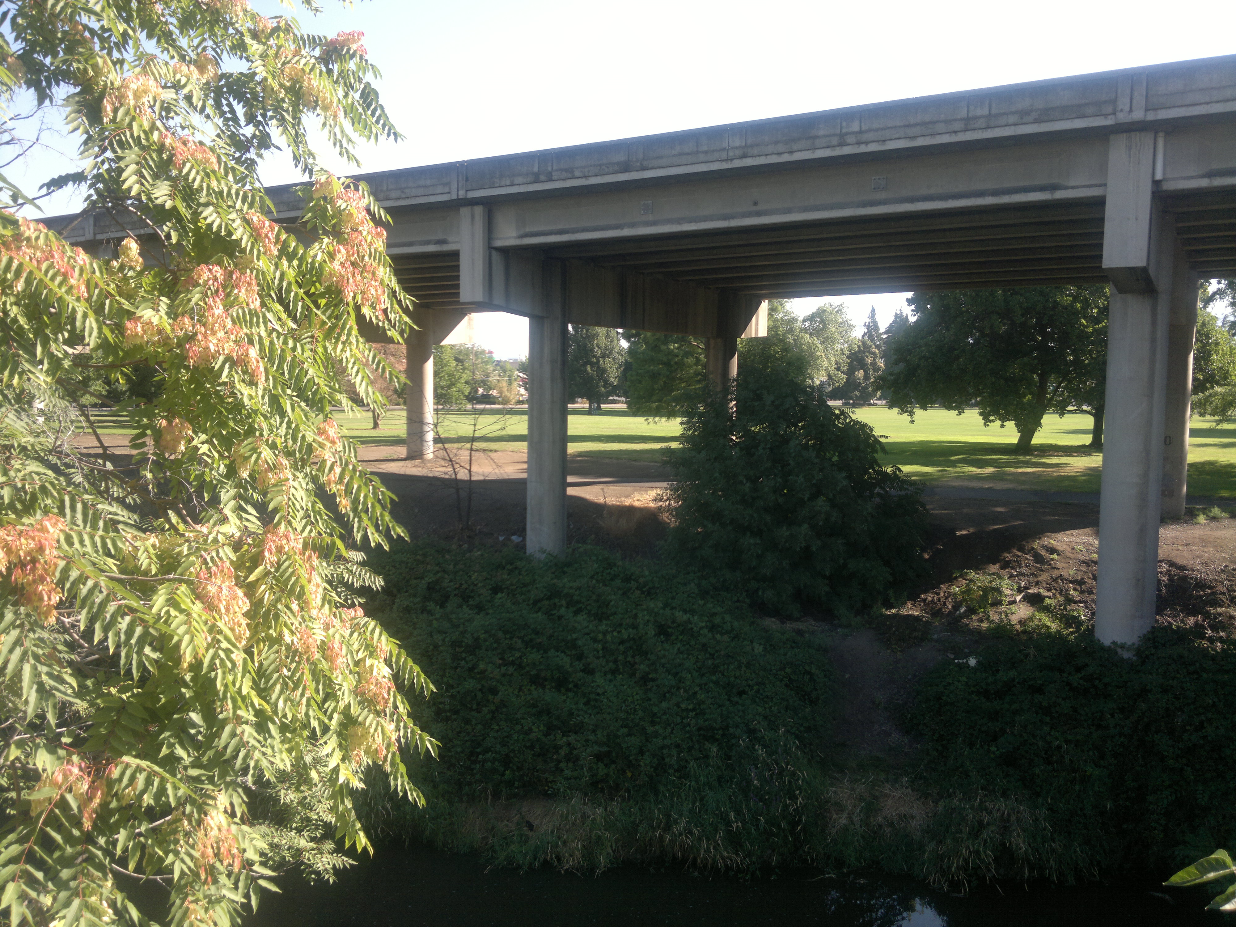
Lovely view of i-5
2011-09-04-018
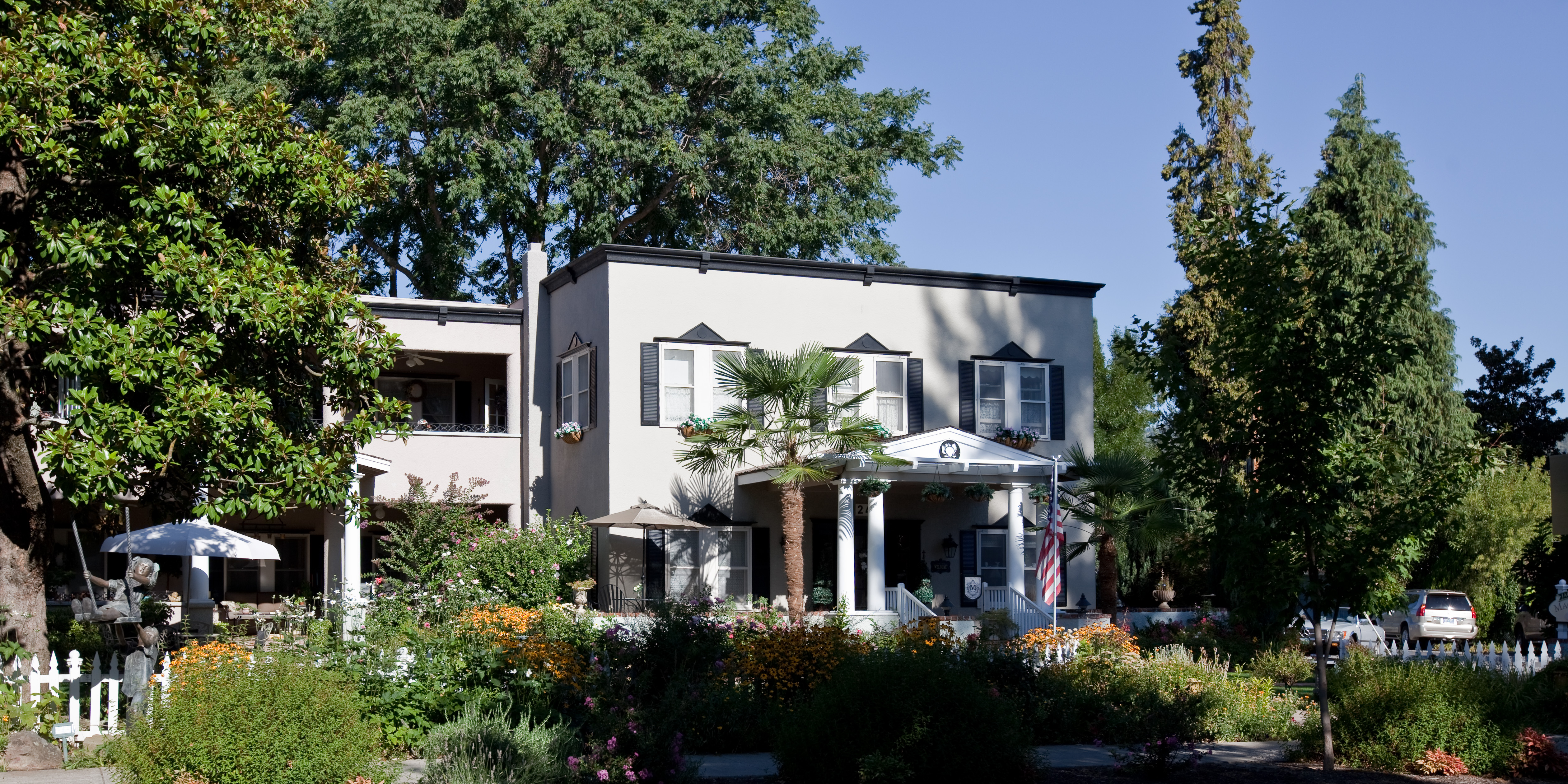
Magnolia Inn - Street View

Life on the farm definitely comes with a beautiful view.
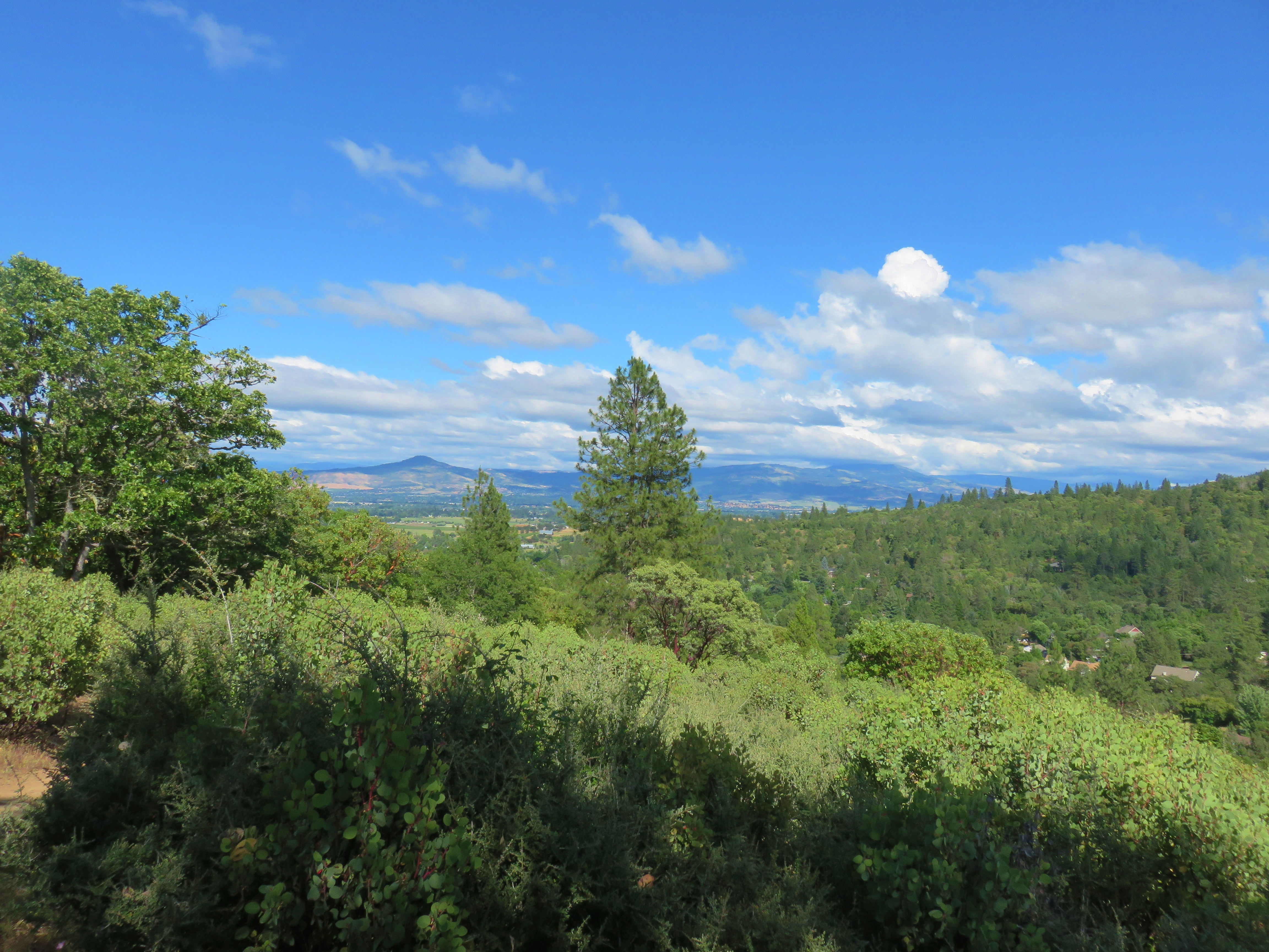
View from Panorama Point
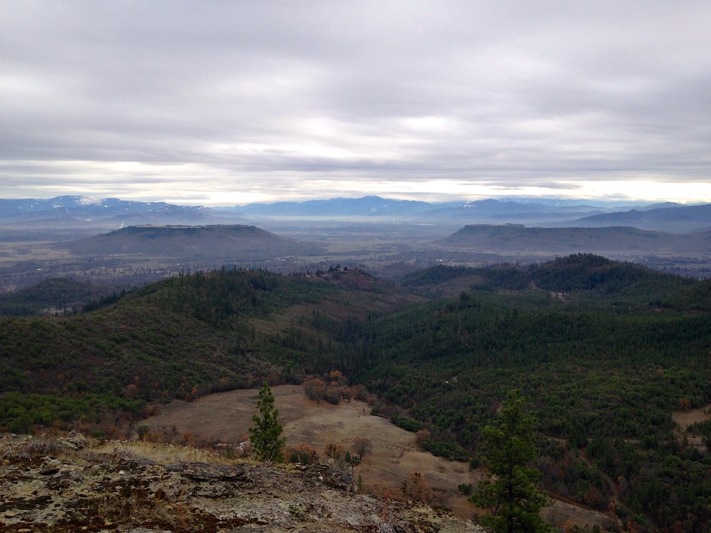
Table Rocks

Mourning Dove on a nest (Zenaida macroura)
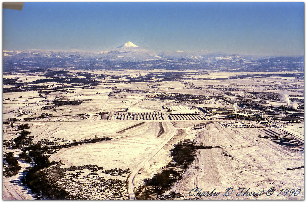
MFR14JUL92 02
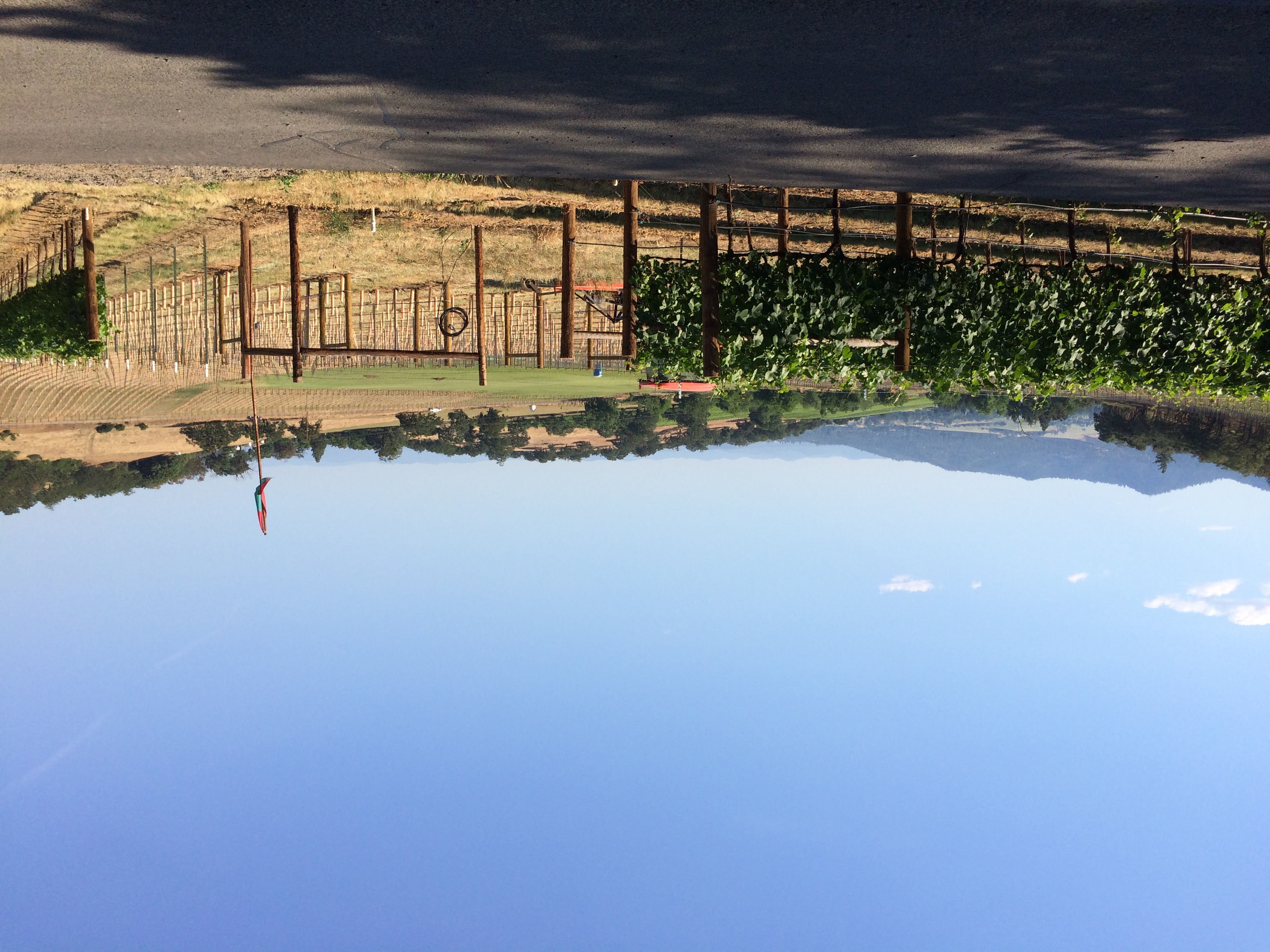
35. Valley View Winery, Oregon

The Rogue River

Hiking Upper Table Rock
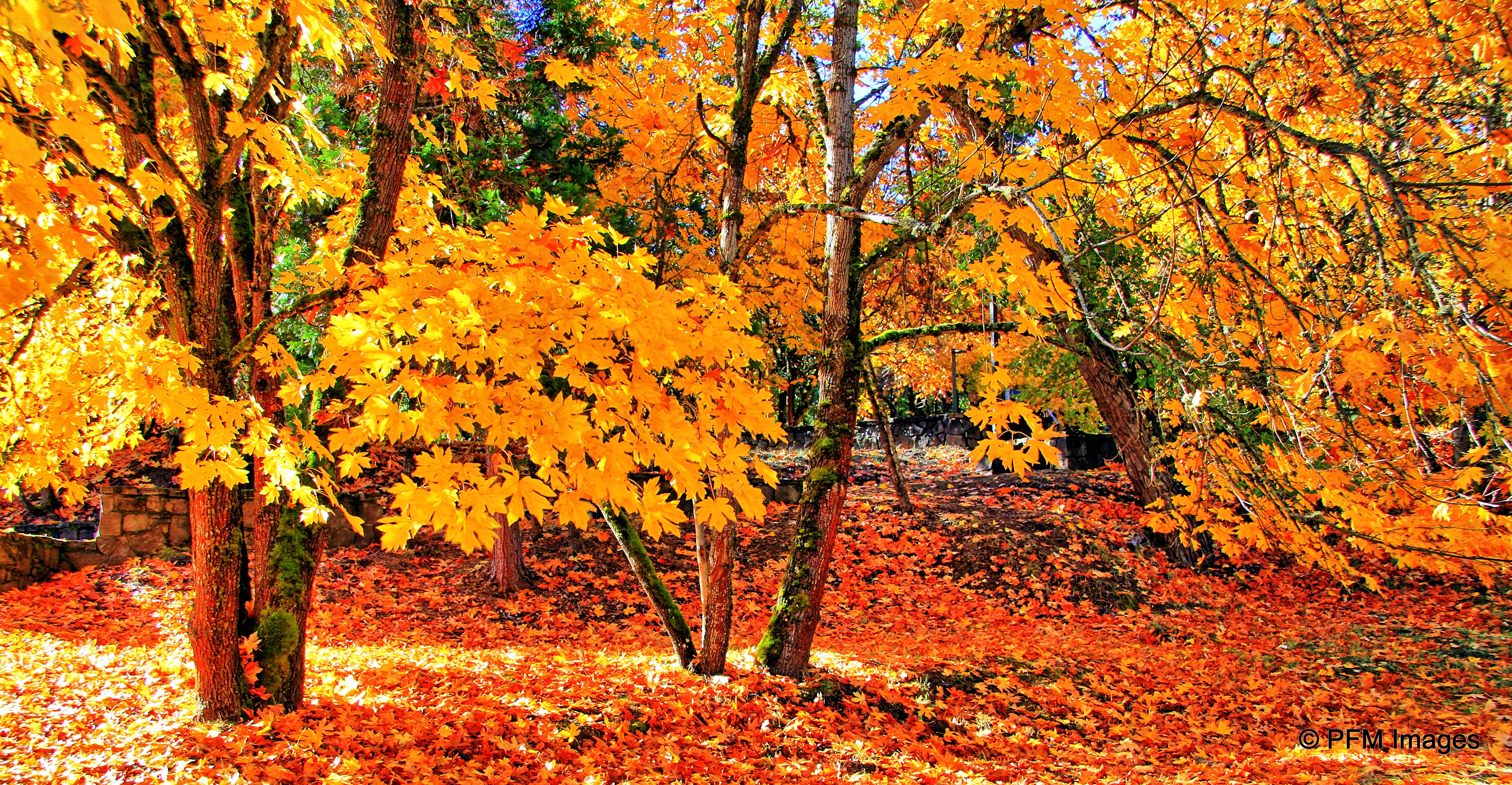
Fall Foliage Jacksonville Oregon
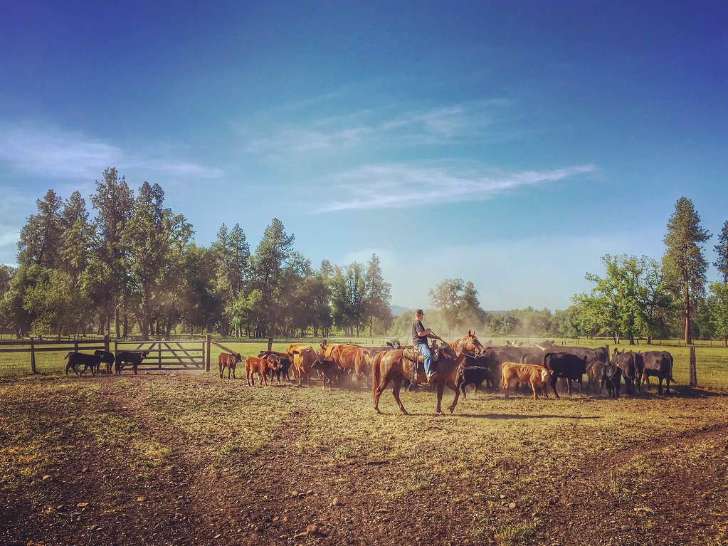
Roundup: JB Dimick readies cows and calves for new pasture. Eagle Point, Oregon 5:14 p.m. 5/11/16
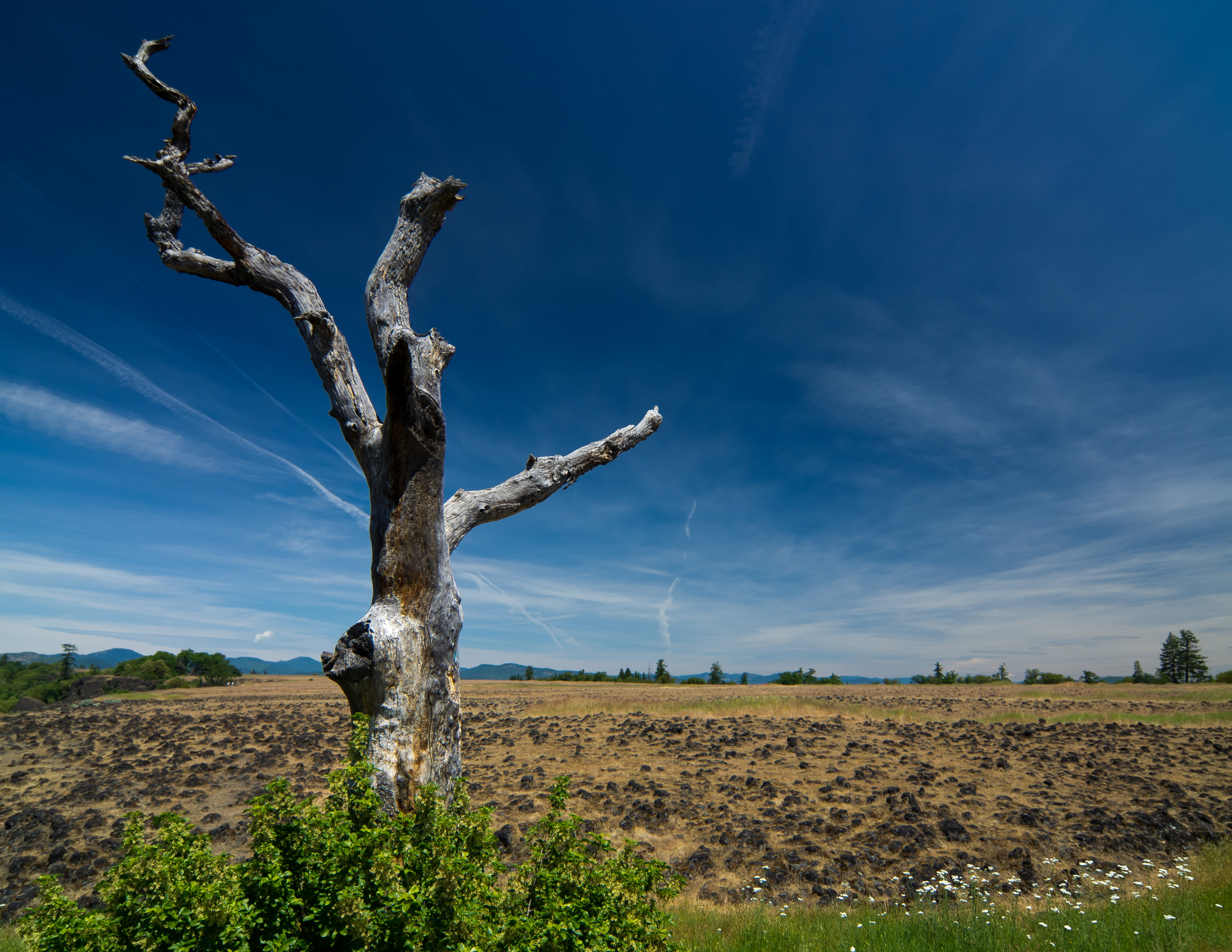
sentinel of wide open spaces
Mount McLoughlin

-

Siskiyou Mountains

Summer 2014
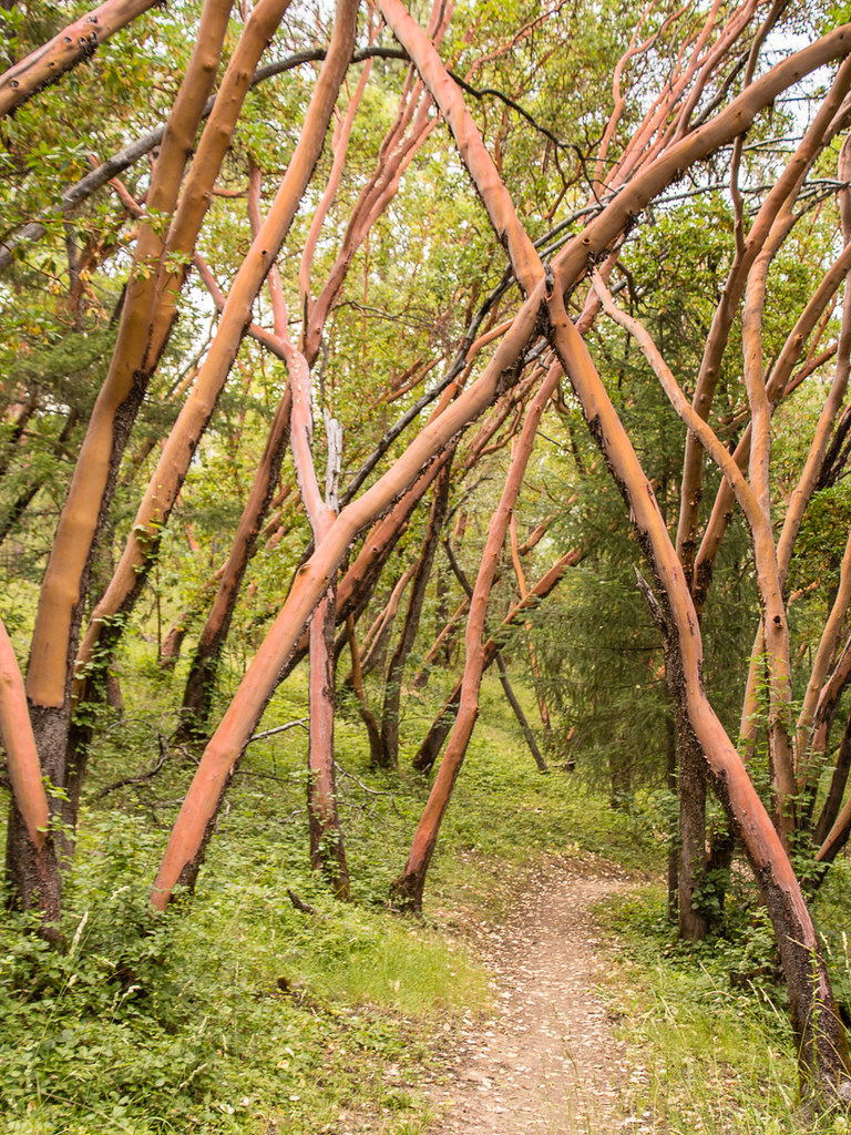
path though trees
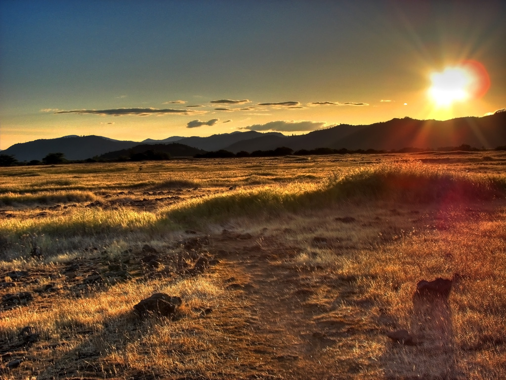
Golden Hue
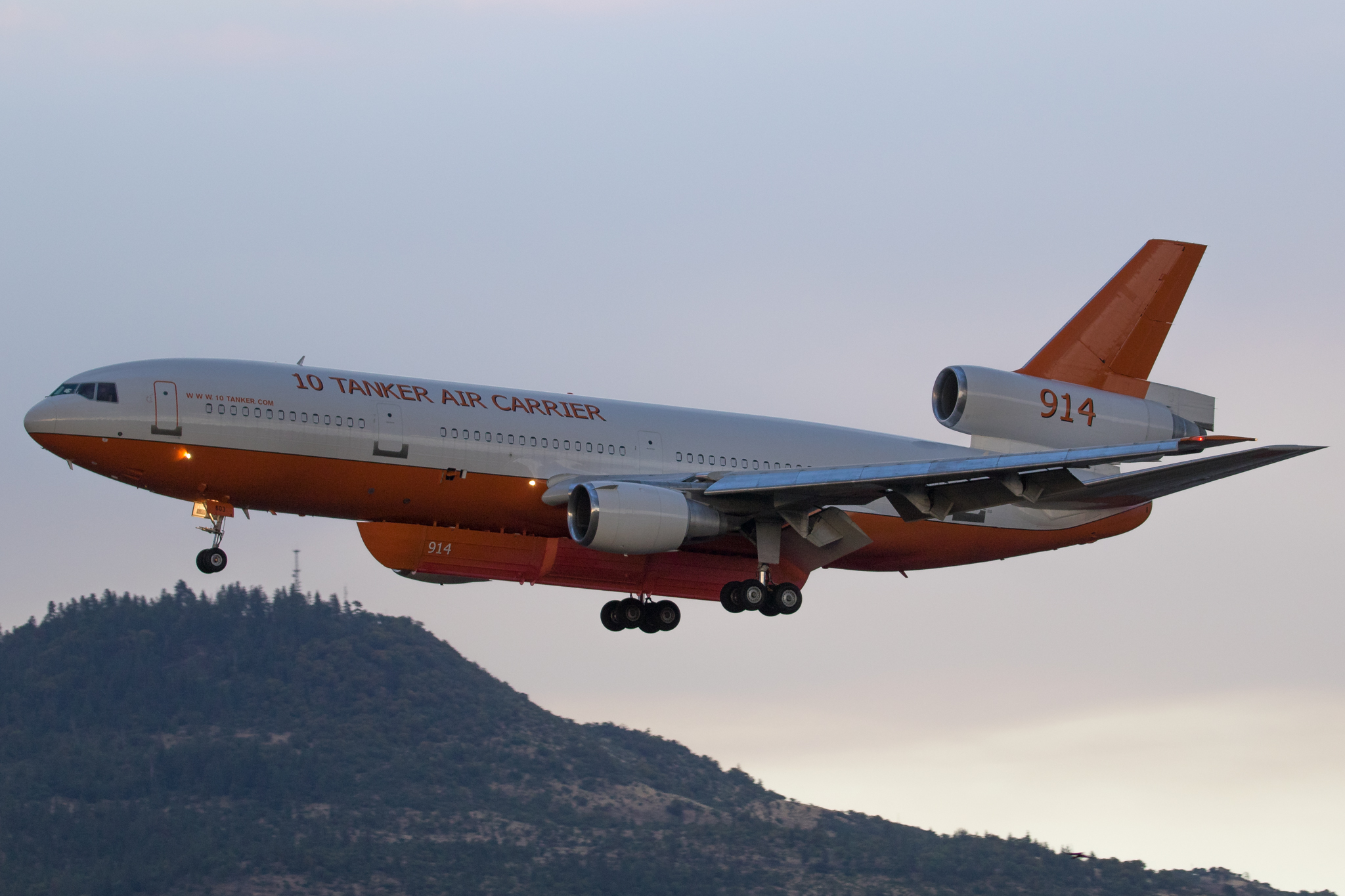
N603AX 10 Tanker Air Carrier DC-10 Tanker 914

Hiking Lower Table Rock
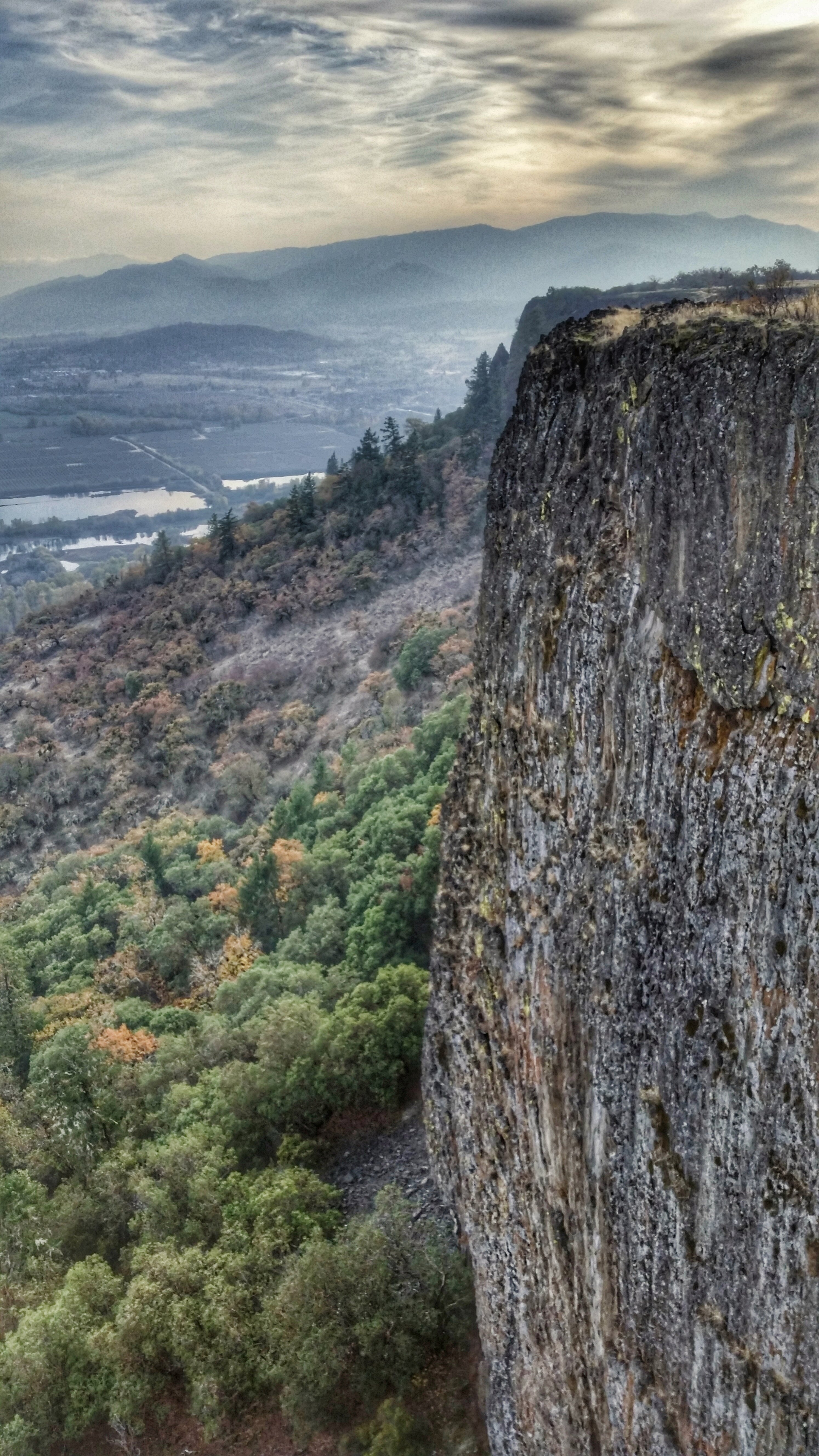
Hiking Lower Table Rock

N374AC AeroFlite Avro RJ85 Tanker 164

Crater Lake
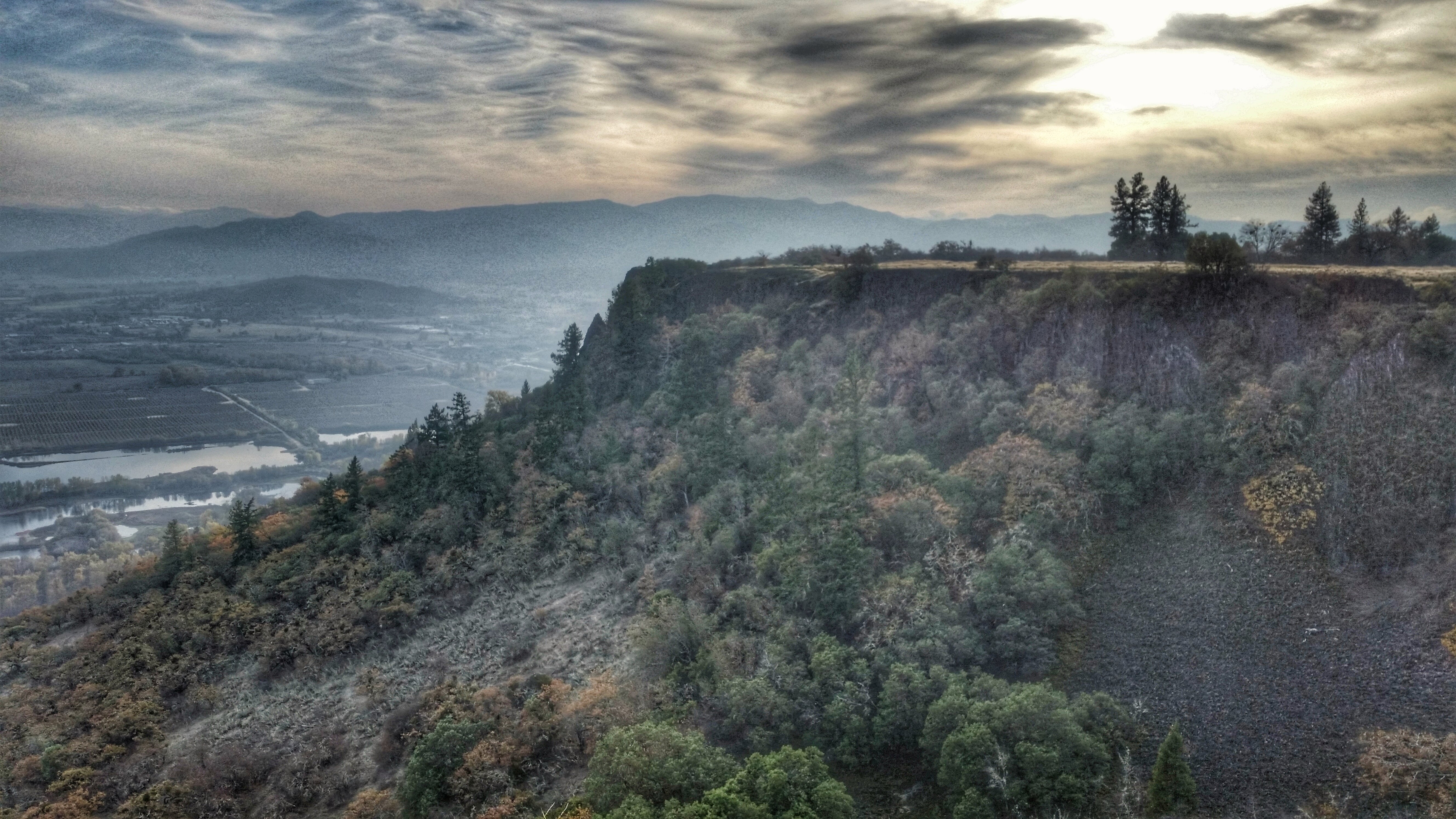
Hiking Lower Table Rock

#RoadTrip #PNW #Oregon #CraterLake #Explore #Trails #Photography #SpringBreak #Spring #WestCoast #NationalPark #BeFunky
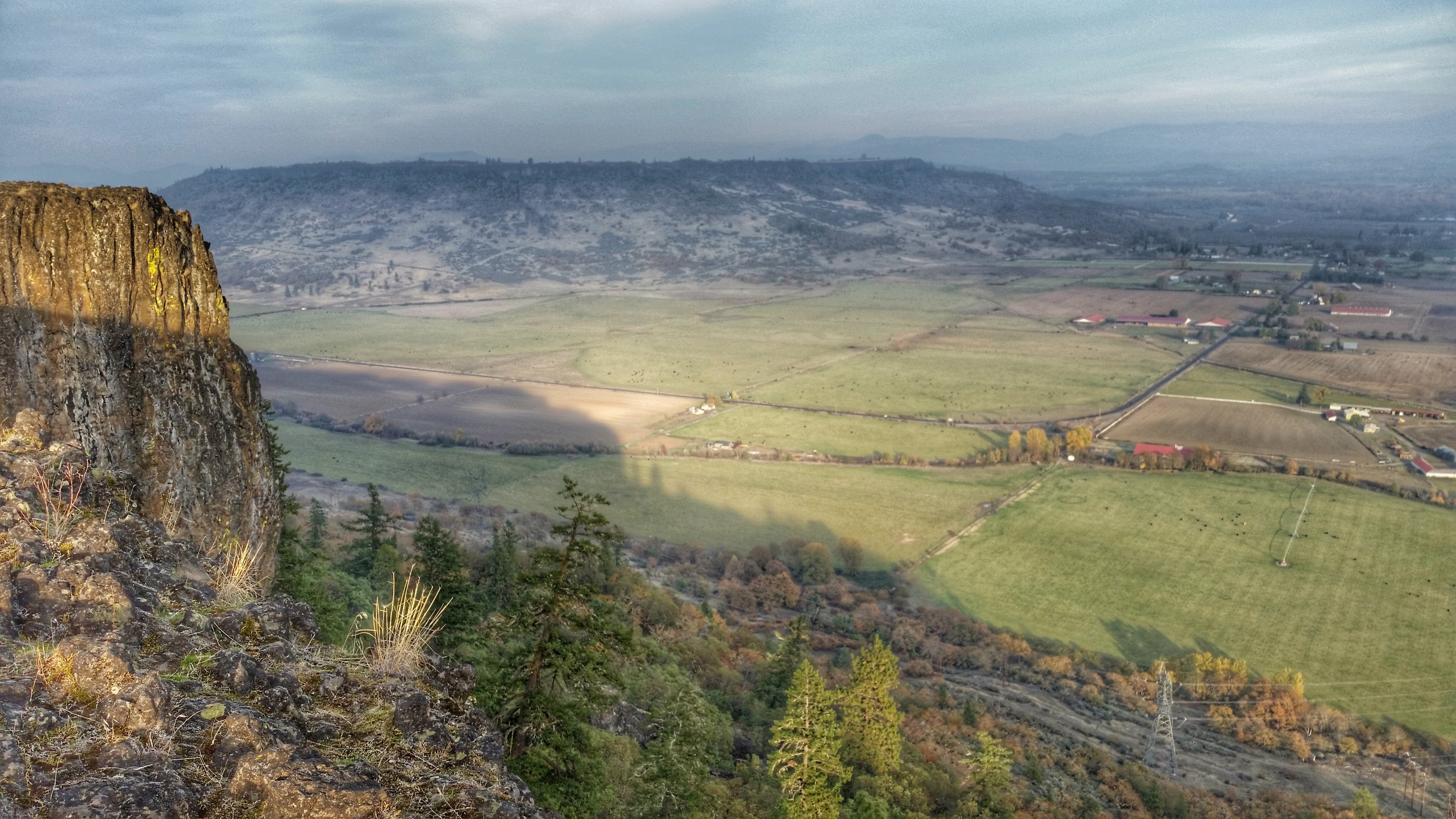
Hiking Lower Table Rock
Topographic Map of Blackwell Rd, Central Point, OR, USA
Find elevation by address:

Places near Blackwell Rd, Central Point, OR, USA:
State Highway 234
99 Dean Dr
3100 Willow Springs Rd
3606 Old Military Rd
3346 Old Military Rd
3343 Old Stage Rd
Sams Valley Rd, Gold Hill, OR, USA
5090 Rock Way
955 N 5th St
Central Point
444 Manzanita St
116 N 10th St
1410 Timothy St
Upper Table Rock
5585 Table Rock Rd
859 Forest Glen Dr
600 Airport Rd
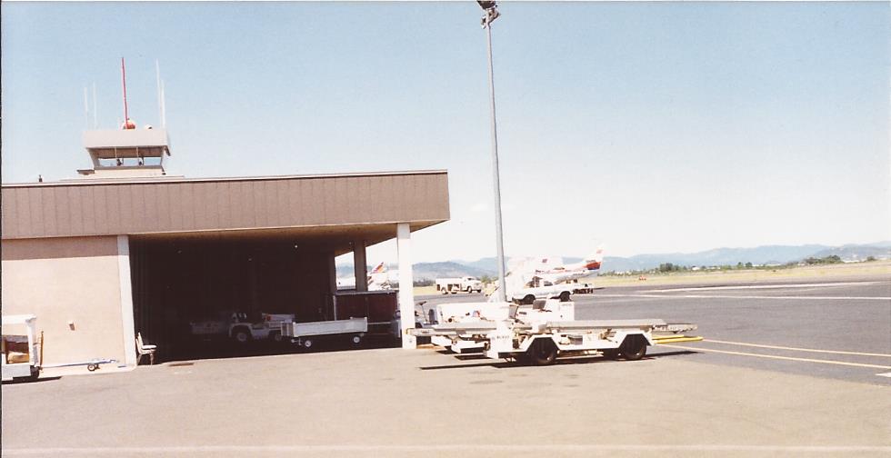
Rogue Valley International-medford Airport
3630 Aviation Way
1590 Delta Waters Rd
Recent Searches:
- Elevation of Unnamed Road, Respublika Severnaya Osetiya — Alaniya, Russia
- Elevation of Verkhny Fiagdon, North Ossetia–Alania Republic, Russia
- Elevation of F. Viola Hiway, San Rafael, Bulacan, Philippines
- Elevation of Herbage Dr, Gulfport, MS, USA
- Elevation of Lilac Cir, Haldimand, ON N3W 2G9, Canada
- Elevation of Harrod Branch Road, Harrod Branch Rd, Kentucky, USA
- Elevation of Wyndham Grand Barbados Sam Lords Castle All Inclusive Resort, End of Belair Road, Long Bay, Bridgetown Barbados
- Elevation of Iga Trl, Maggie Valley, NC, USA
- Elevation of N Co Rd 31D, Loveland, CO, USA
- Elevation of Lindever Ln, Palmetto, FL, USA