Elevation of Gold Hill, OR, USA
Location: United States > Oregon > Jackson County >
Longitude: -123.05060
Latitude: 42.4317894
Elevation: 333m / 1093feet
Barometric Pressure: 97KPa
Elevation Map:
Satellite Map:
Related Photos:

Jacksonville Viewpoint

View from Tablerock

Lower Table Rock and Barn from I-5

View of Medford Oregon from Upper Table Rock, looking South.
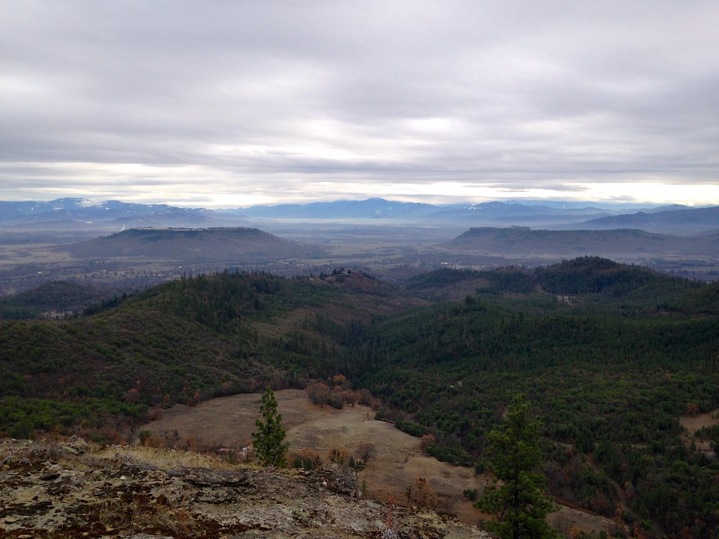
Table Rocks
Topographic Map of Gold Hill, OR, USA
Find elevation by address:

Places in Gold Hill, OR, USA:
Places near Gold Hill, OR, USA:
600 Hodson Rd
3390 Wards Creek Rd
9100 Boyd Rd
2299 Wards Creek Rd
951 Foots Creek Rd
941 Foots Creek Rd
3200 L Fork Foots Creek Rd
450 Foots Creek Rd
417 Placer St
2912 Foots Creek Right Fork Rd
100 Broadway St
1010 Broadway St
1029 Pine St
Rogue River
7275 Rogue River Hwy
326 Pine Grove Rd
582 Fielder Creek Rd
660 Queens Branch Rd
6965 W Evans Creek Rd
4315 Bear Branch Rd
Recent Searches:
- Elevation of Corso Fratelli Cairoli, 35, Macerata MC, Italy
- Elevation of Tallevast Rd, Sarasota, FL, USA
- Elevation of 4th St E, Sonoma, CA, USA
- Elevation of Black Hollow Rd, Pennsdale, PA, USA
- Elevation of Oakland Ave, Williamsport, PA, USA
- Elevation of Pedrógão Grande, Portugal
- Elevation of Klee Dr, Martinsburg, WV, USA
- Elevation of Via Roma, Pieranica CR, Italy
- Elevation of Tavkvetili Mountain, Georgia
- Elevation of Hartfords Bluff Cir, Mt Pleasant, SC, USA