Elevation of L Fork Foots Creek Rd, Gold Hill, OR, USA
Location: United States > Oregon > Jackson County > Gold Hill >
Longitude: -123.11879
Latitude: 42.3684662
Elevation: 400m / 1312feet
Barometric Pressure: 97KPa
Elevation Map:
Satellite Map:
Related Photos:
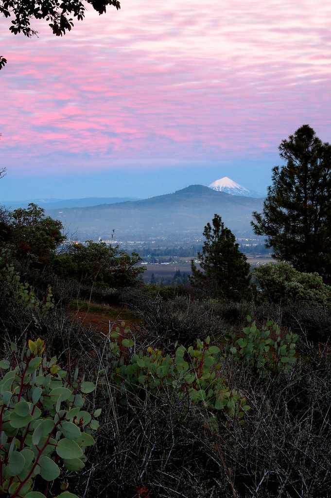
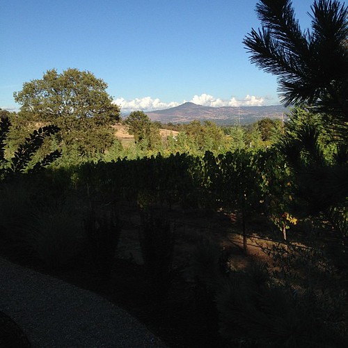
Jacksonville Viewpoint
The View from Here.

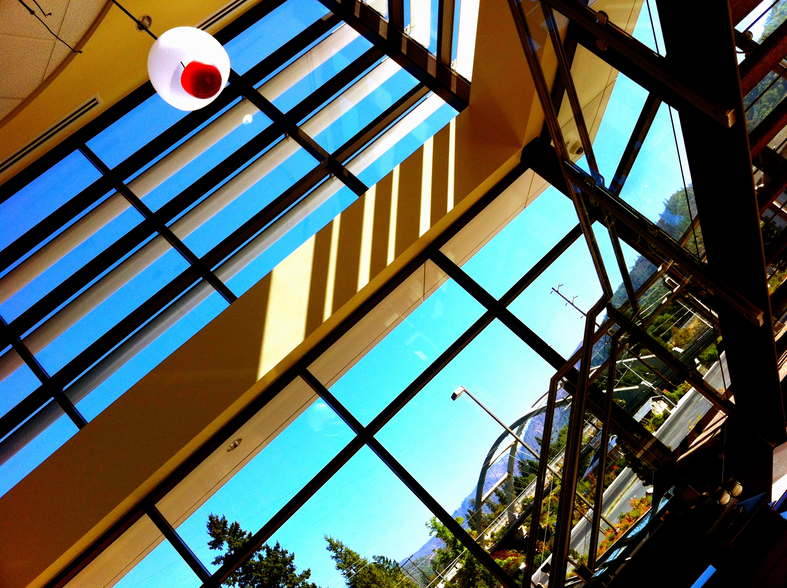
Building Bokeh
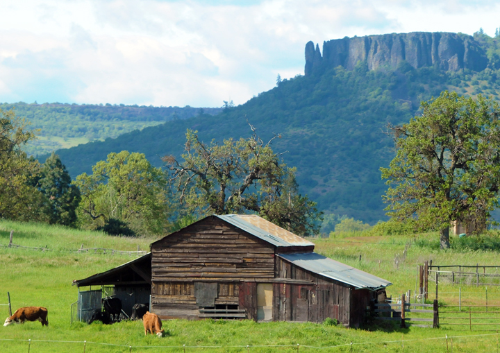
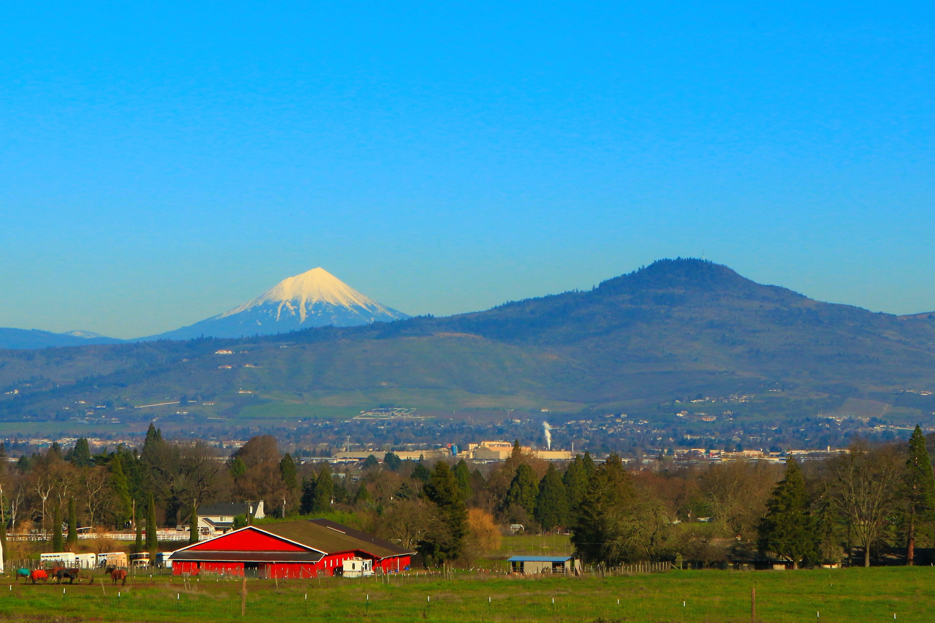
Lower Table Rock and Barn from I-5

View from a porch. On our way to first @harryanddavid related dinner

Back in the day, a pair of tight jeans was enough to earn a girl a bad reputation.
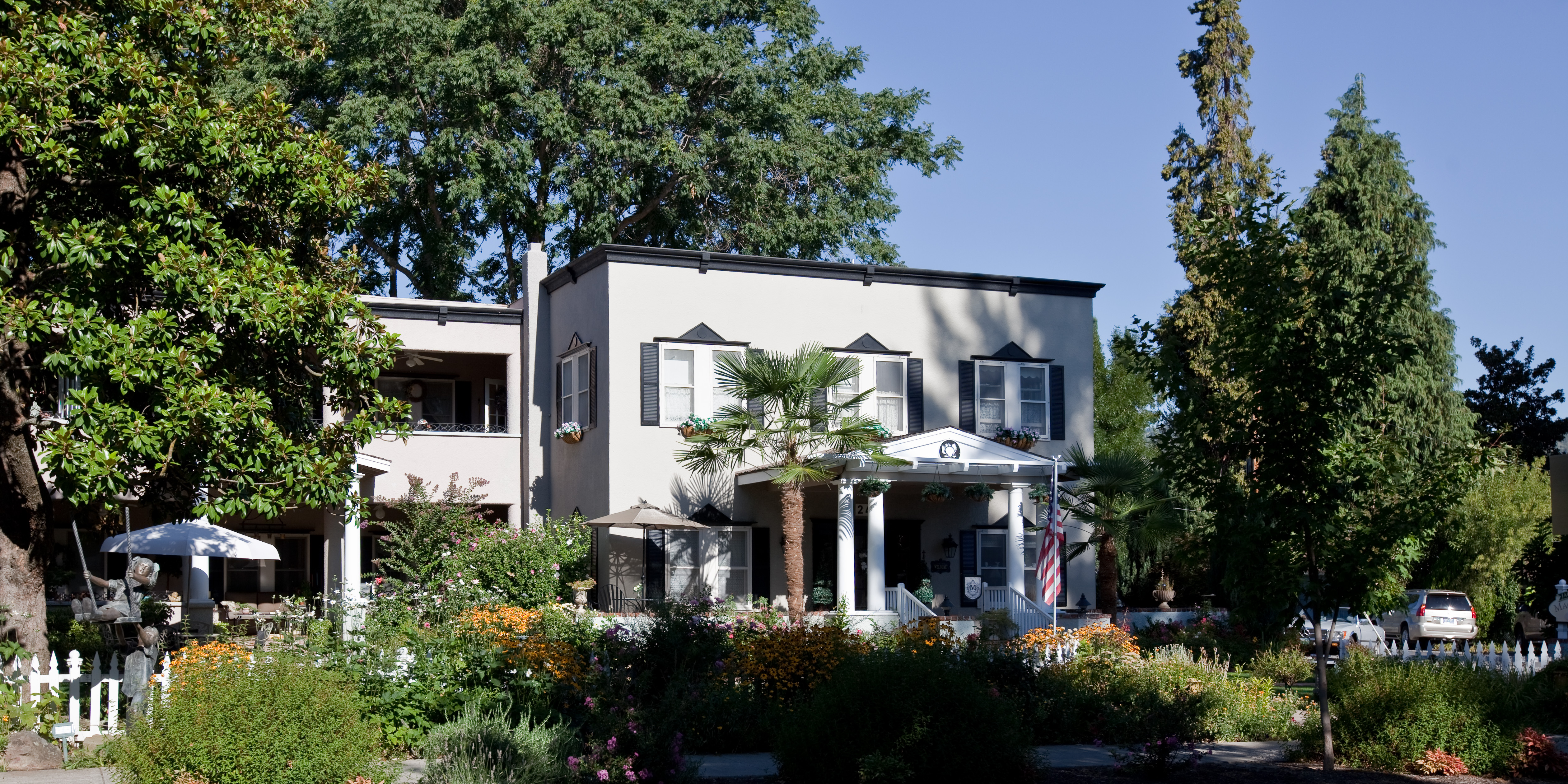
Magnolia Inn - Street View
Above goal, view to Burnt ridge
View from Applegate's River Lodge

Life on the farm definitely comes with a beautiful view.

Jacksonville, Oregon
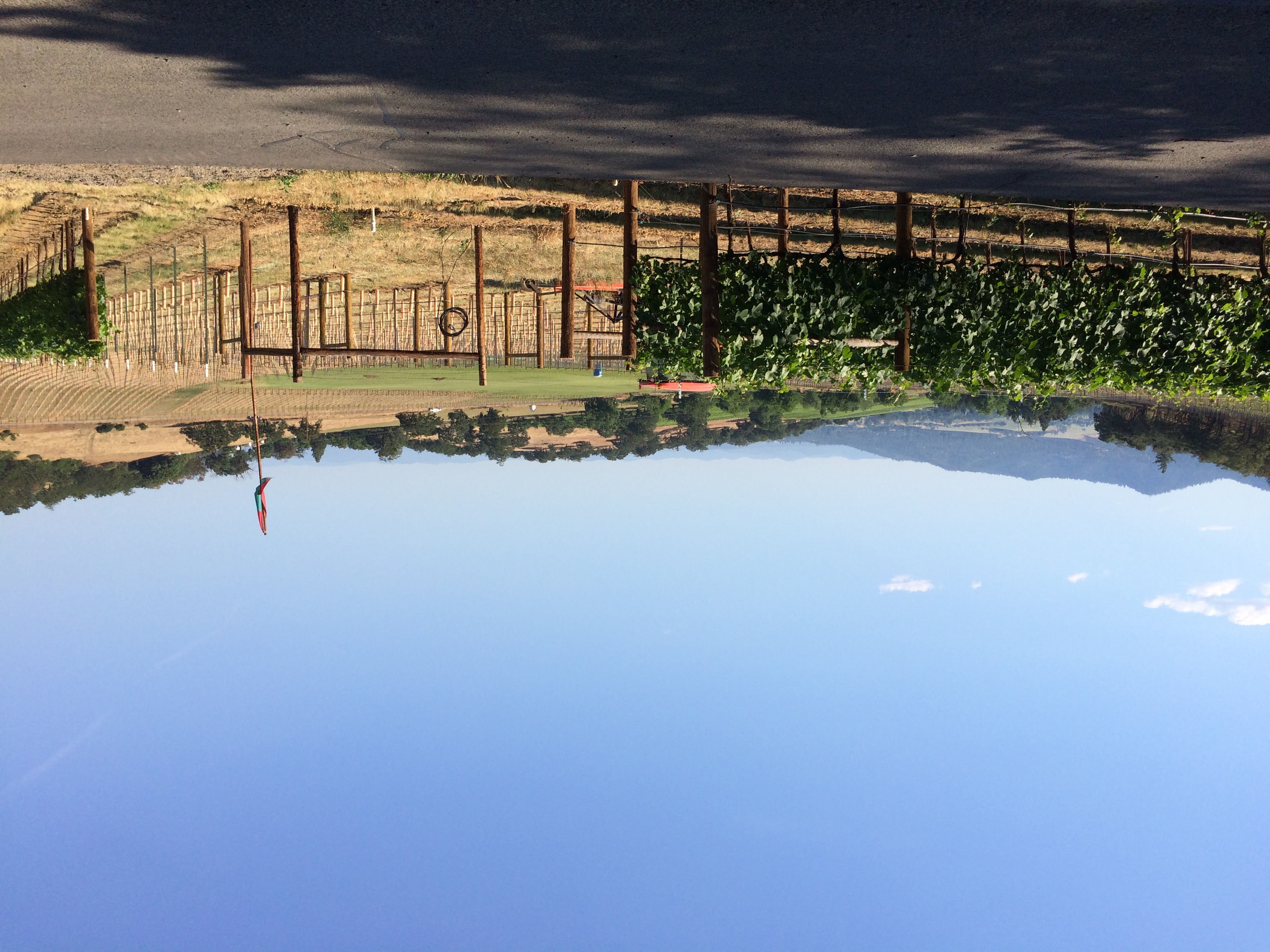
35. Valley View Winery, Oregon

Nunan House
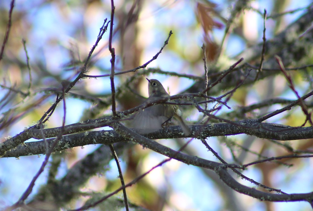
Ruby-crowned Kinglet (Regulus calendula)

Crater View Panorama
The view from Dancin Vineyards in Jacksonville OR
Above goal, view to Rabies ridge
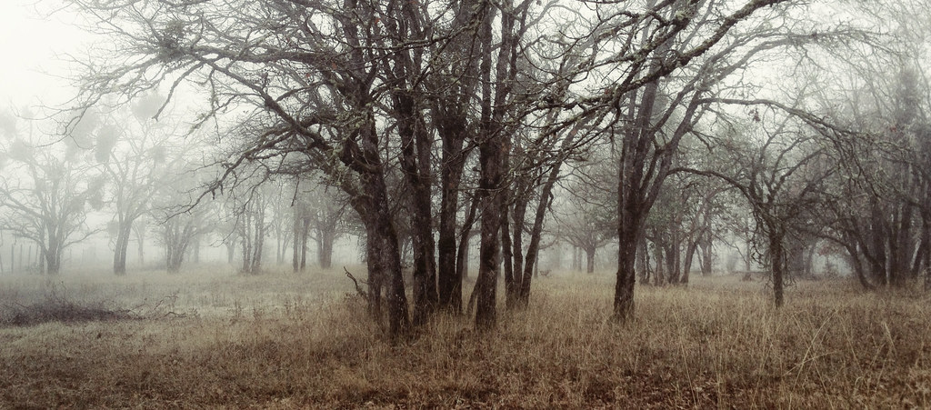
foggy forest

The Neighborhood

yashica_35_test-roll-22

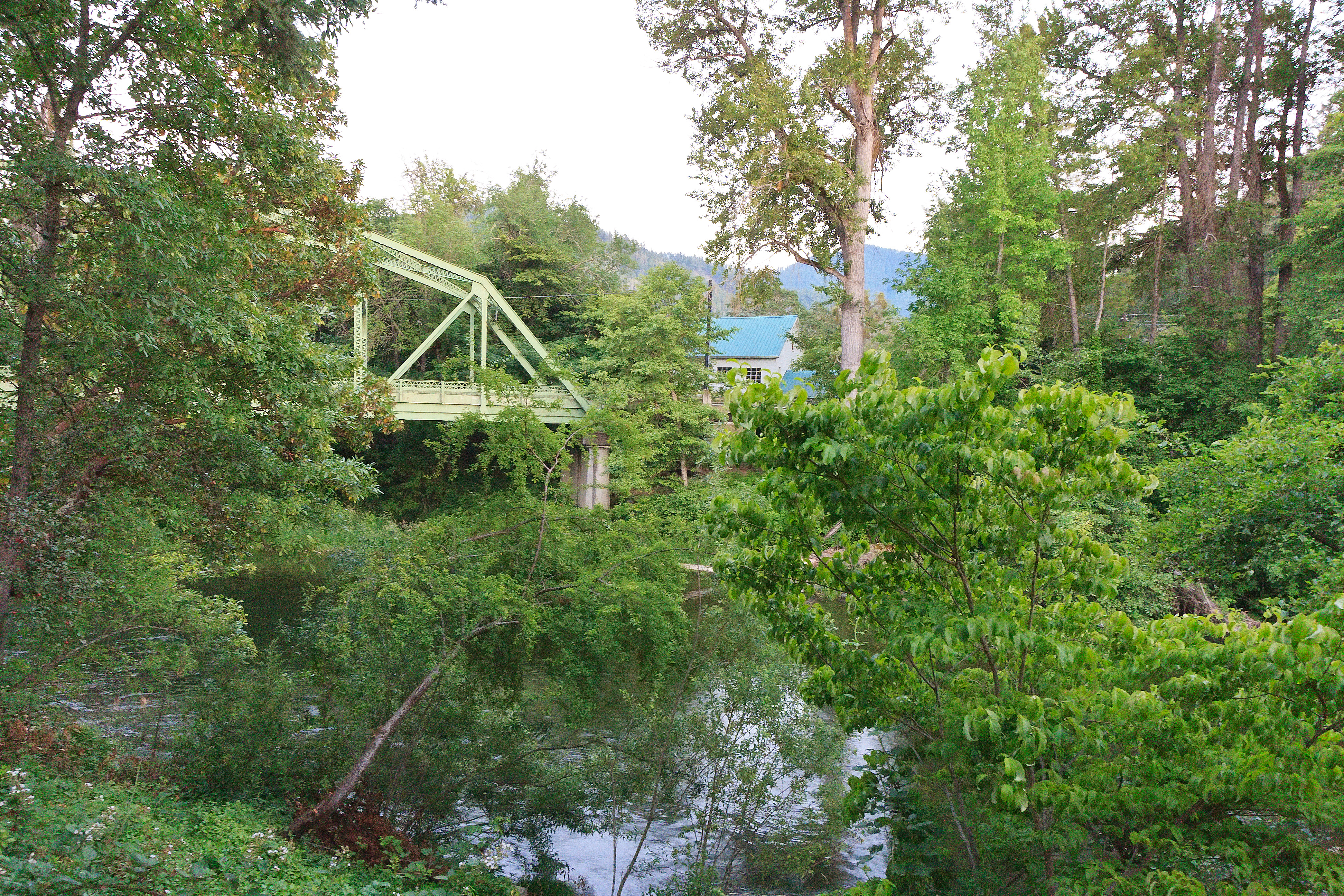
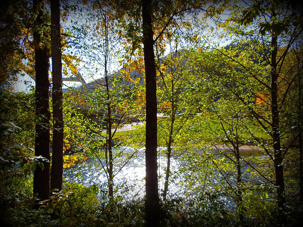
The Rogue River
Southern Oregon Hills
~~RoGuE RiVeR, OrEGoN #2~~
Rogue Valley Oregon
~~RoGuE RiVeR, OrEGoN #3~~
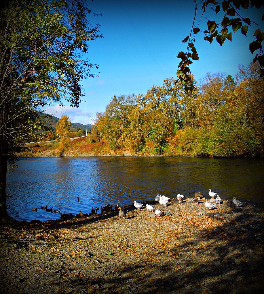
Puddles of Gold

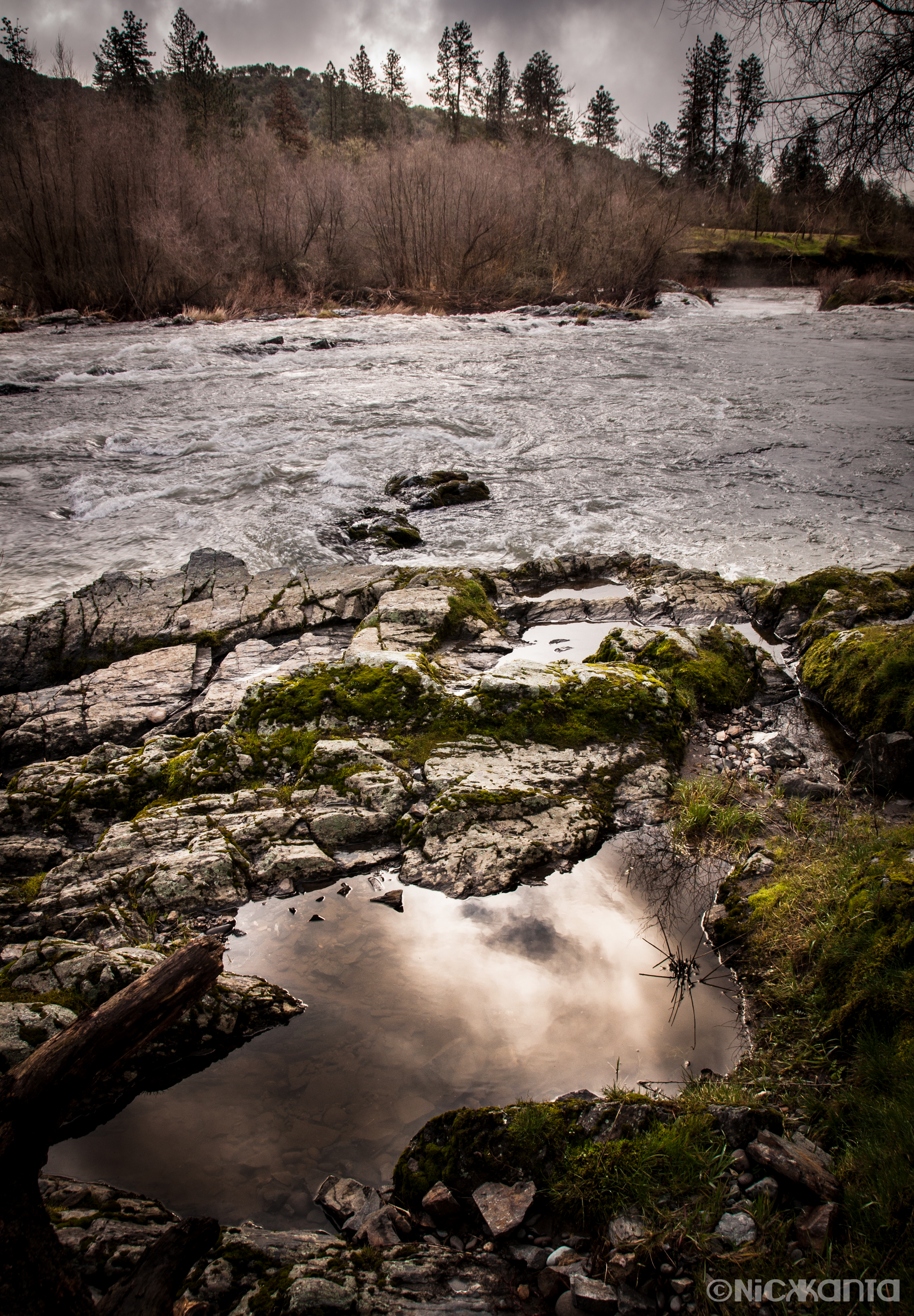
Rogue River -9a
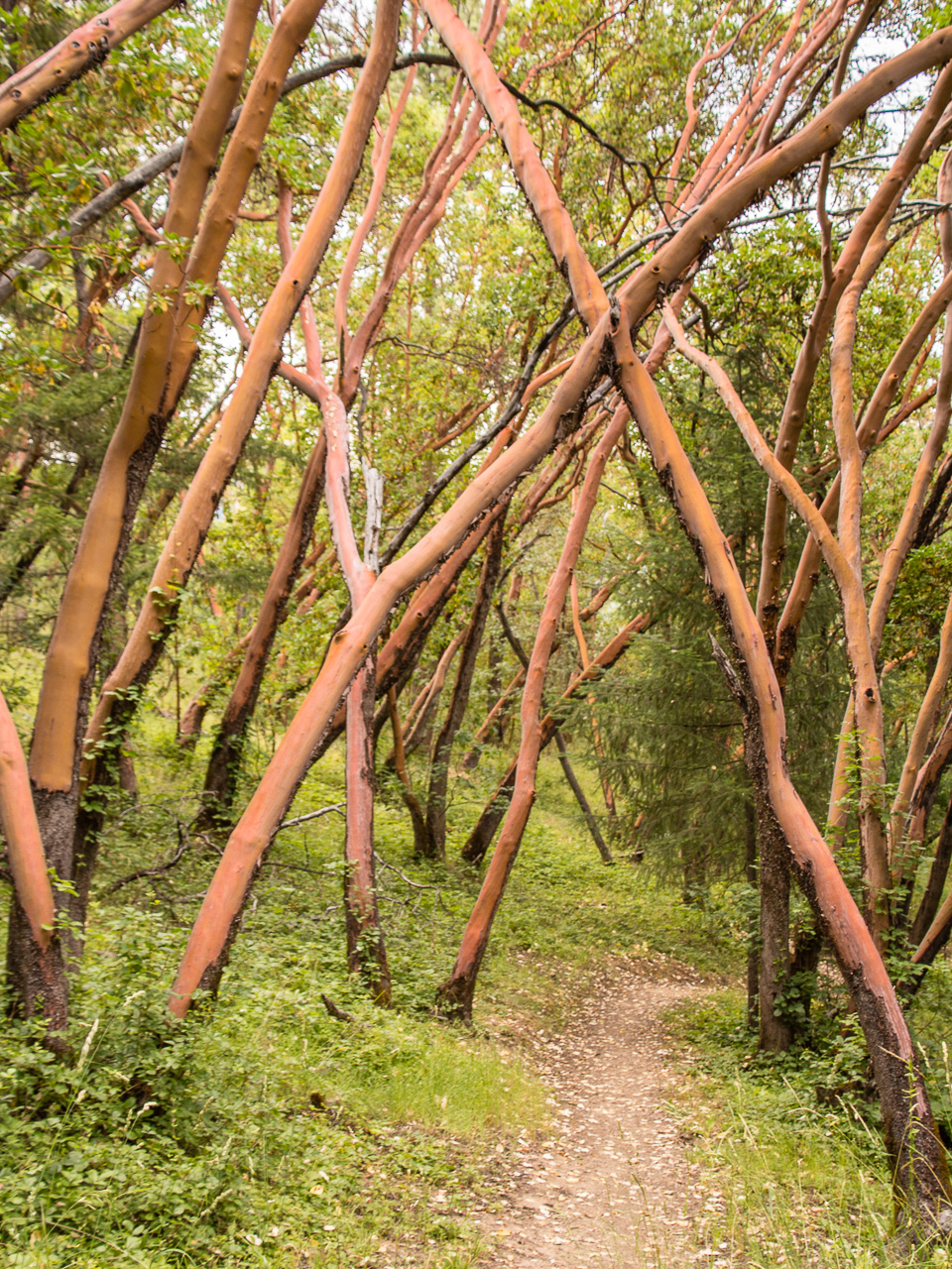
path though trees

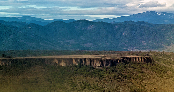
Lower Table Rock
Lower Table Rock 1
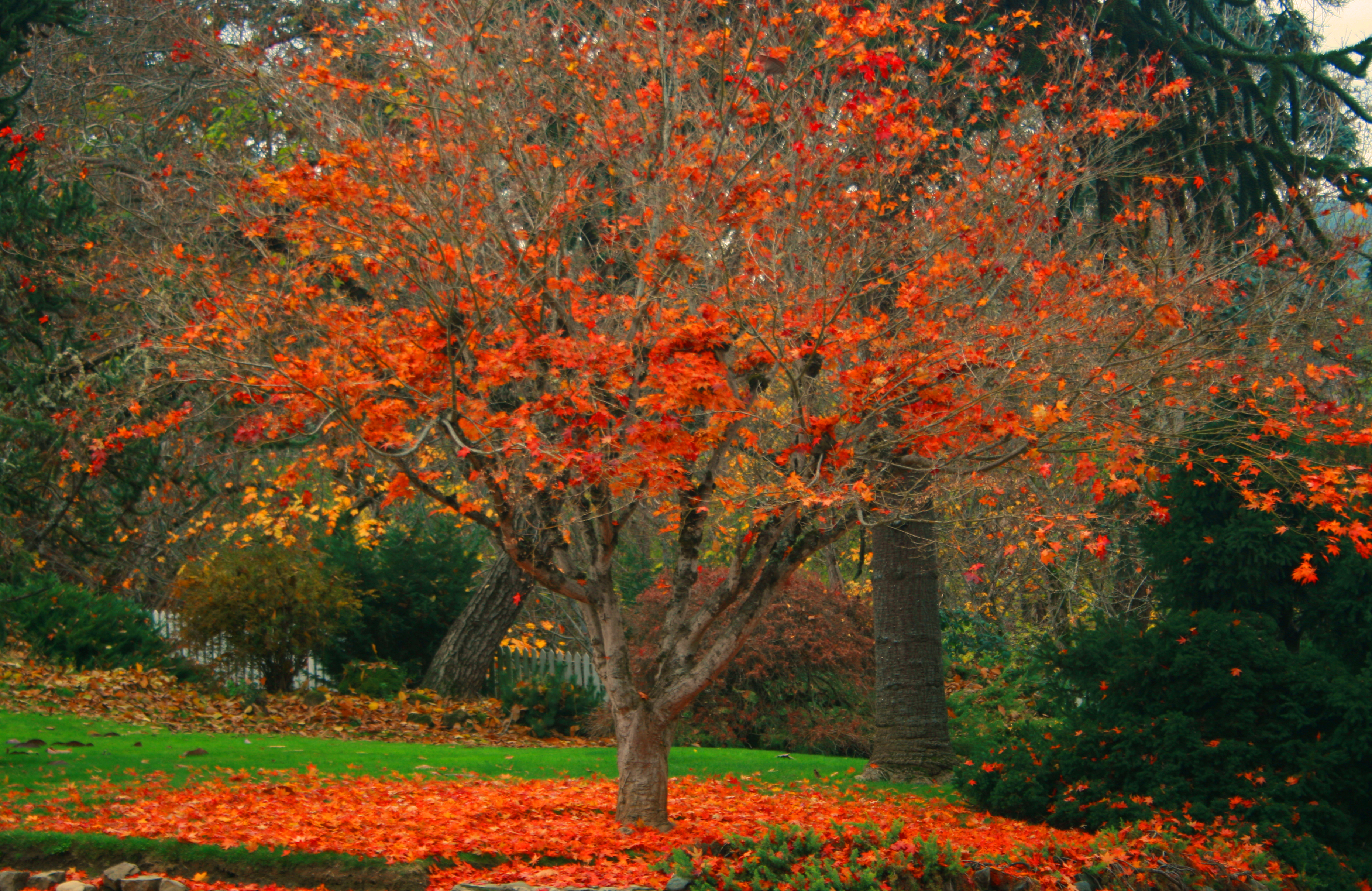
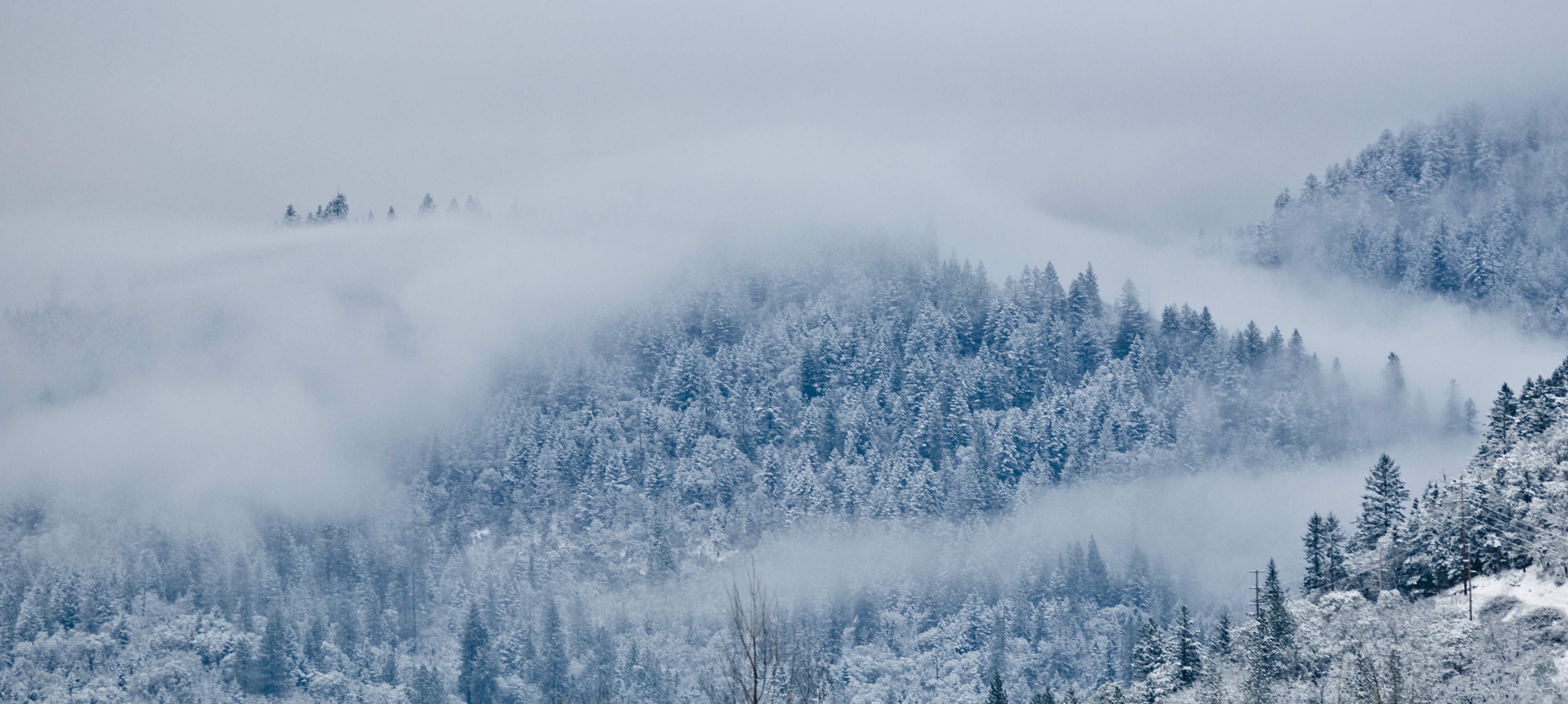
Autumn Fire
In and Around Ashland MichaelOlsen/ZorkMagazine
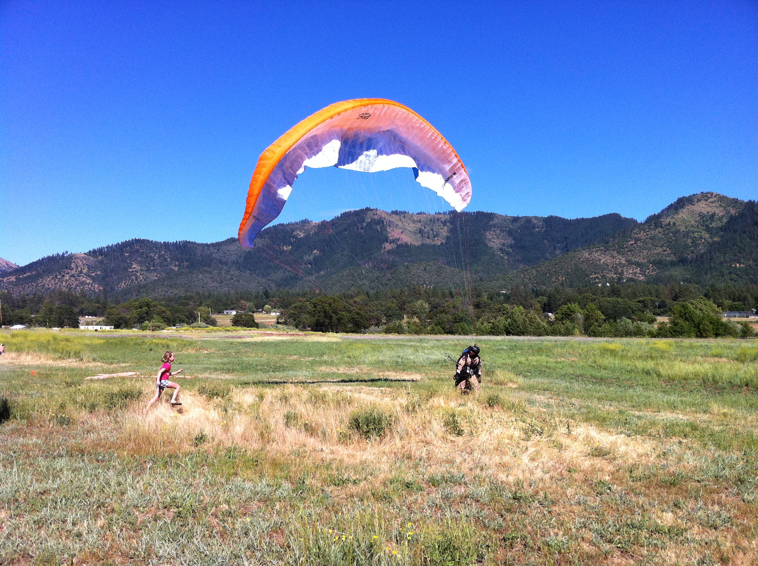
Nick's adoring fan rushes to congratulate him
John's Peak, Oregon

Olive Trees in Rogue Valley
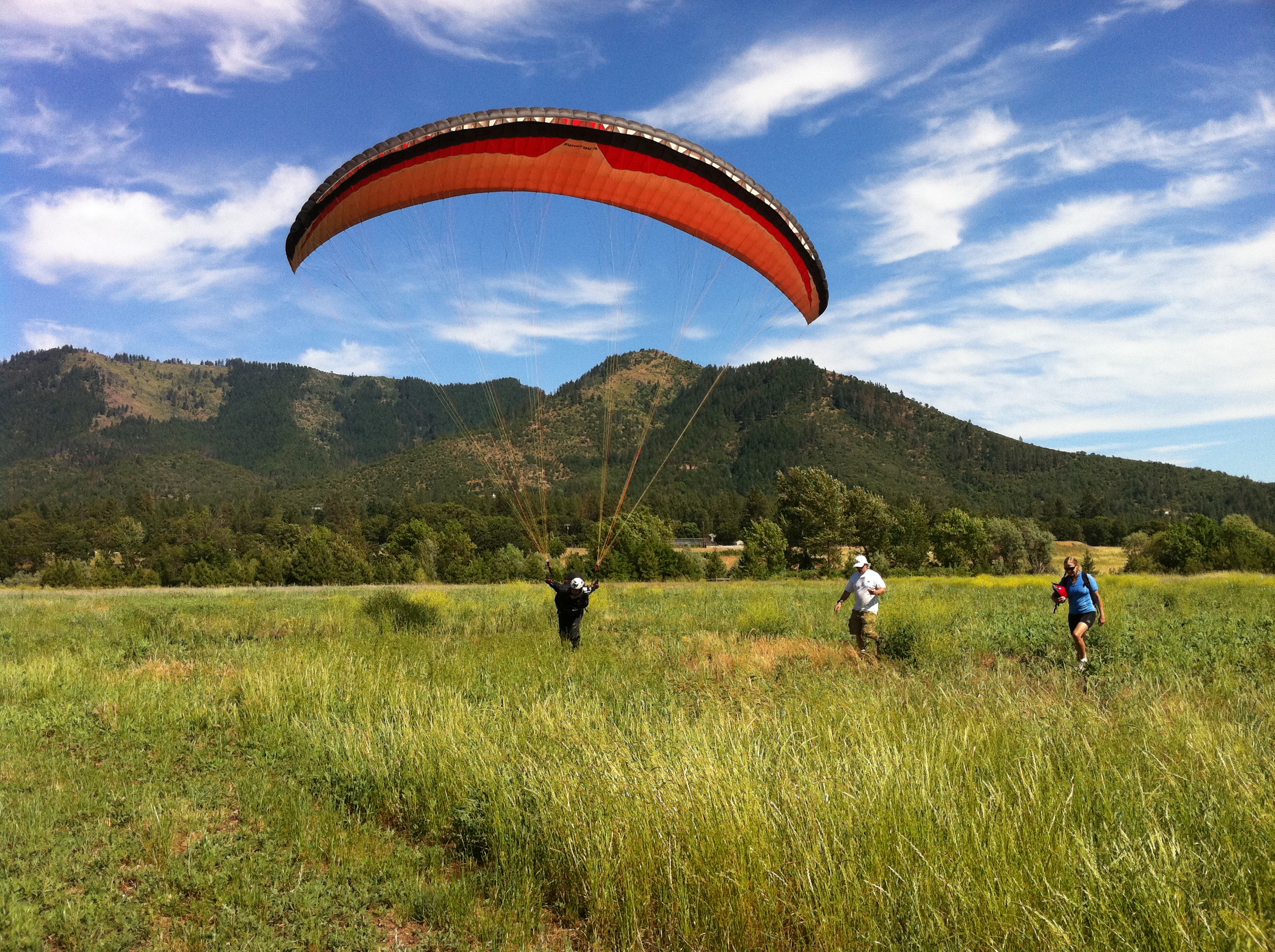
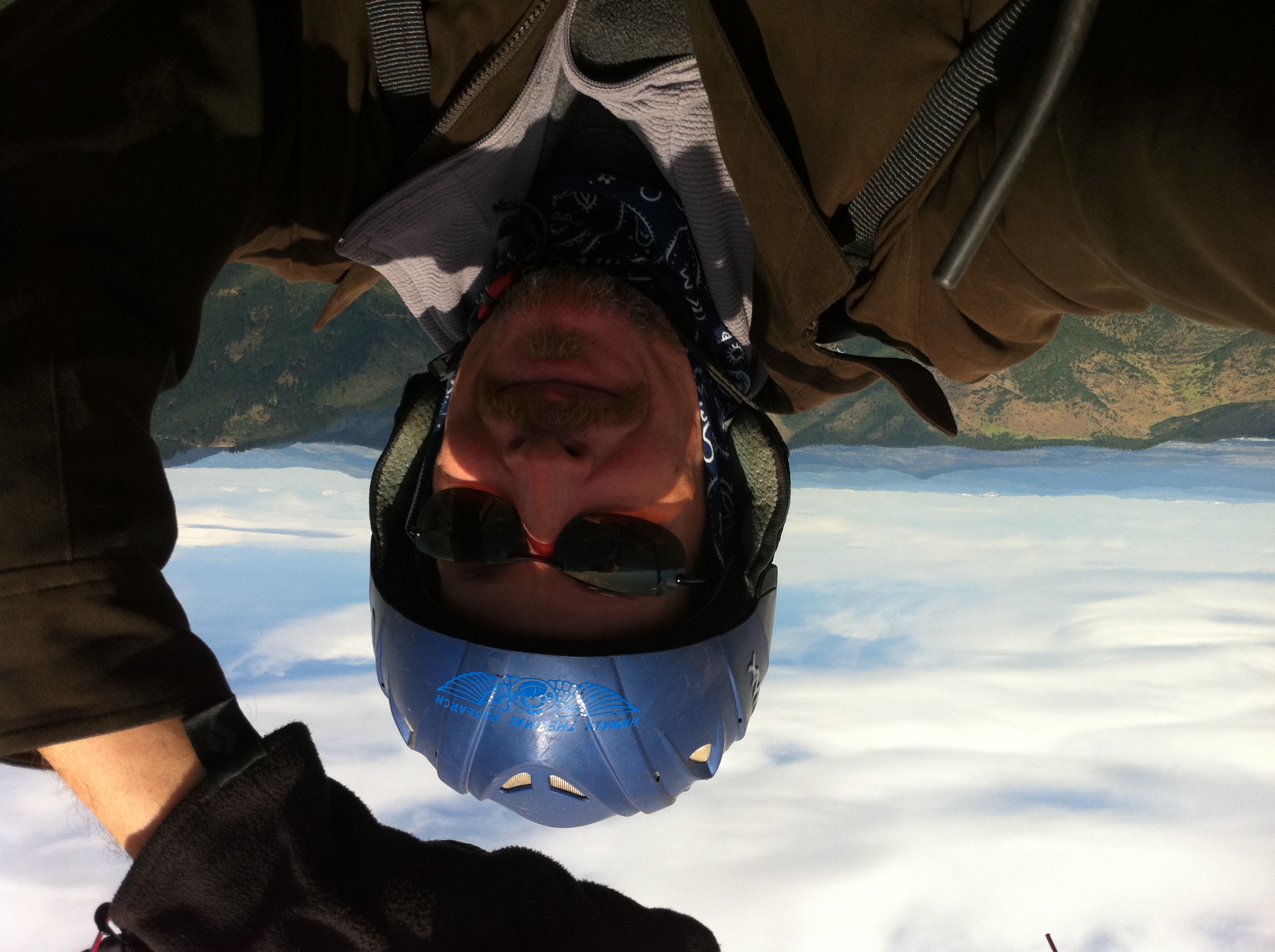
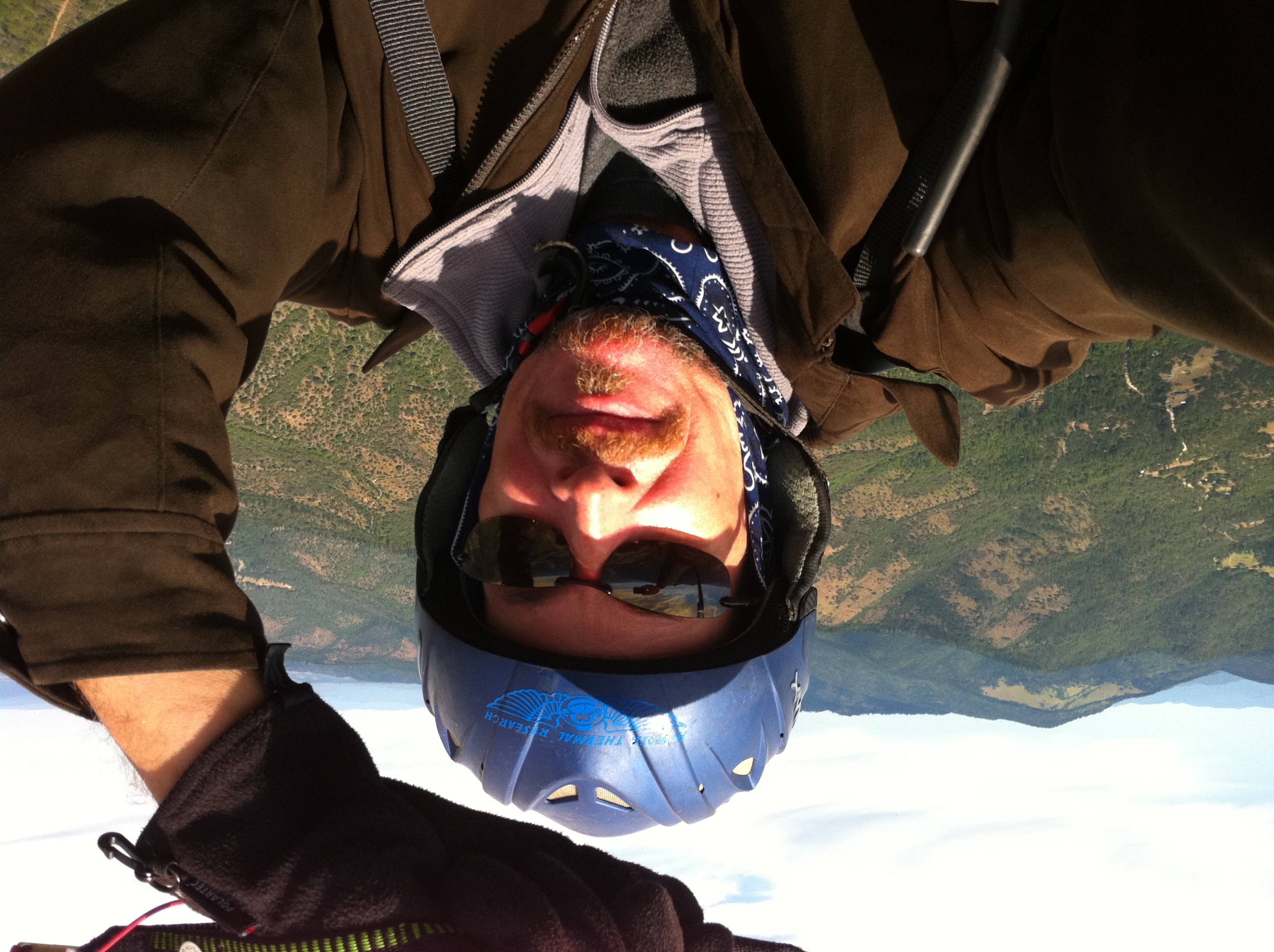
JK at goal on the last day of the race
Topographic Map of L Fork Foots Creek Rd, Gold Hill, OR, USA
Find elevation by address:

Places near L Fork Foots Creek Rd, Gold Hill, OR, USA:
951 Foots Creek Rd
941 Foots Creek Rd
2912 Foots Creek Right Fork Rd
450 Foots Creek Rd
600 Hodson Rd
2299 Wards Creek Rd
100 Broadway St
417 Placer St
9100 Boyd Rd
Rogue River
1010 Broadway St
1029 Pine St
Gold Hill
7275 Rogue River Hwy
Rogue River Highway
582 Fielder Creek Rd
695 Greens Creek Rd
152 Rio Vista Ln
326 Pine Grove Rd
777 Jewett Creek Rd
Recent Searches:
- Elevation of Congressional Dr, Stevensville, MD, USA
- Elevation of Bellview Rd, McLean, VA, USA
- Elevation of Stage Island Rd, Chatham, MA, USA
- Elevation of Shibuya Scramble Crossing, 21 Udagawacho, Shibuya City, Tokyo -, Japan
- Elevation of Jadagoniai, Kaunas District Municipality, Lithuania
- Elevation of Pagonija rock, Kranto 7-oji g. 8"N, Kaunas, Lithuania
- Elevation of Co Rd 87, Jamestown, CO, USA
- Elevation of Tenjo, Cundinamarca, Colombia
- Elevation of Côte-des-Neiges, Montreal, QC H4A 3J6, Canada
- Elevation of Bobcat Dr, Helena, MT, USA