Elevation of Spicewood Flats Rd, Del Rio, TN, USA
Location: United States > Tennessee > Cocke County > Del Rio >
Longitude: -83.005256
Latitude: 35.867674
Elevation: 479m / 1572feet
Barometric Pressure: 96KPa
Elevation Map:
Satellite Map:
Related Photos:

Celebrating the 4th of July

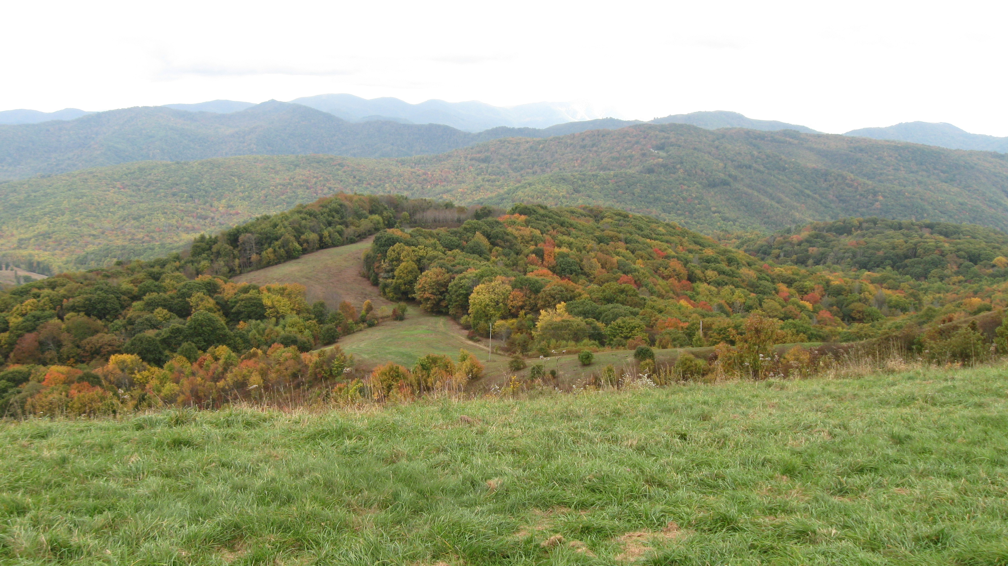
Max Patch

The Smokey Mountains

View from Max Patch

Baxter Creek Trailhead
View from Max Patch

Rainbows over Max Patch

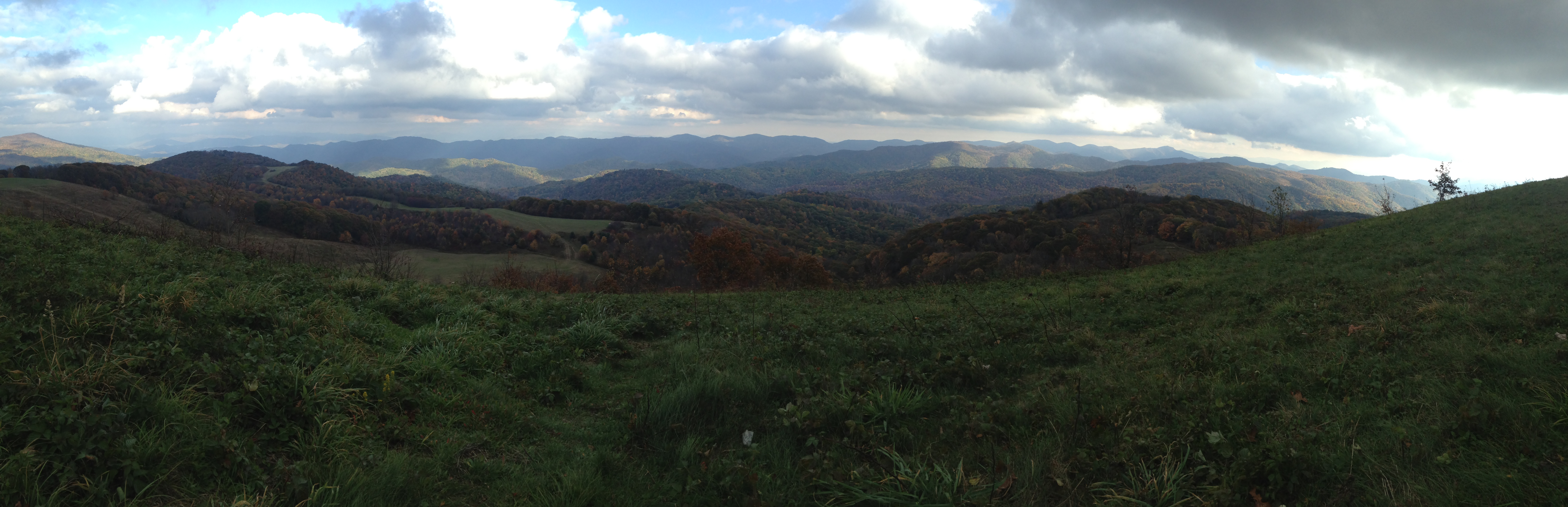
Houston Valley

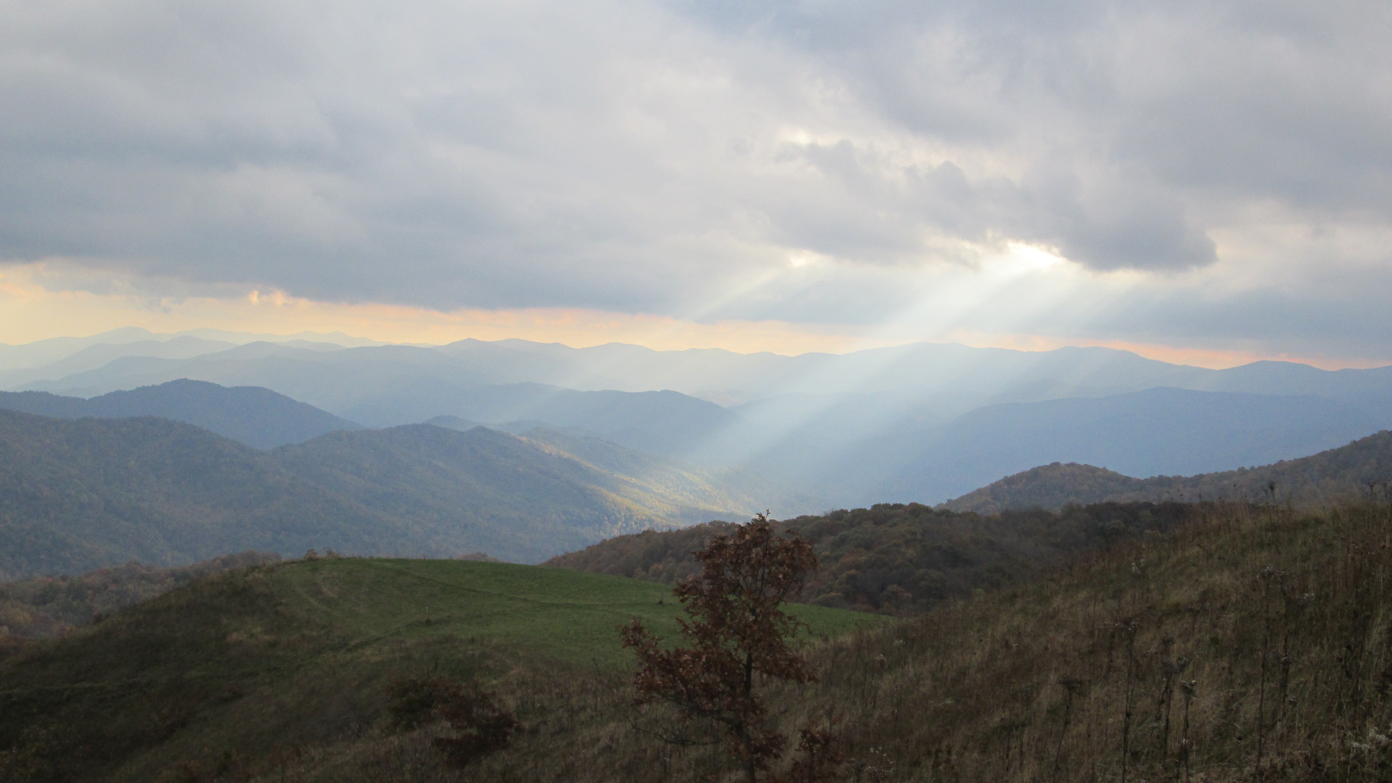
View from Max Patch, looking east
Max Patch - October 12, 2013-036

View from Max Patch, looking east

Max Patch - October 12, 2013-052

Max Patch - October 12, 2013-065

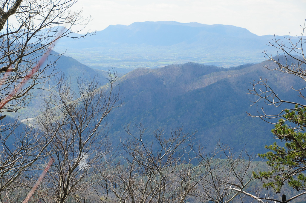
View from Meadow Creek Firetower
Max Patch - October 12, 2013-026

View from Meadow Creek Firetower
View from Meadow Creek Firetower
Max Patch - October 12, 2013-060
View of W4T/SU-053 - English Mtn

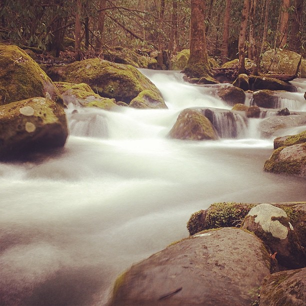
Midnight Hole Falls, 6 feet high

Fall on Max Patch
Harmon Den Creek in North Carolina.
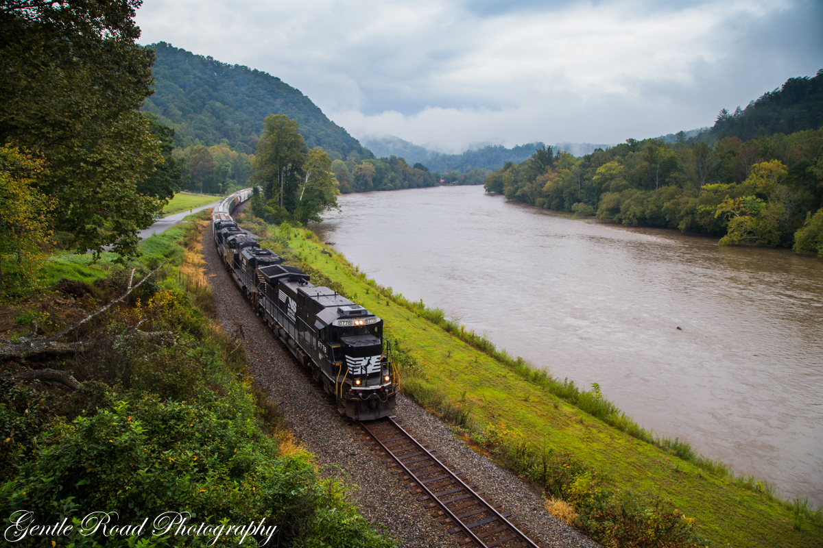
123 along the French Broad
Max Patch mountain

Max Patch, N.C. Sunset
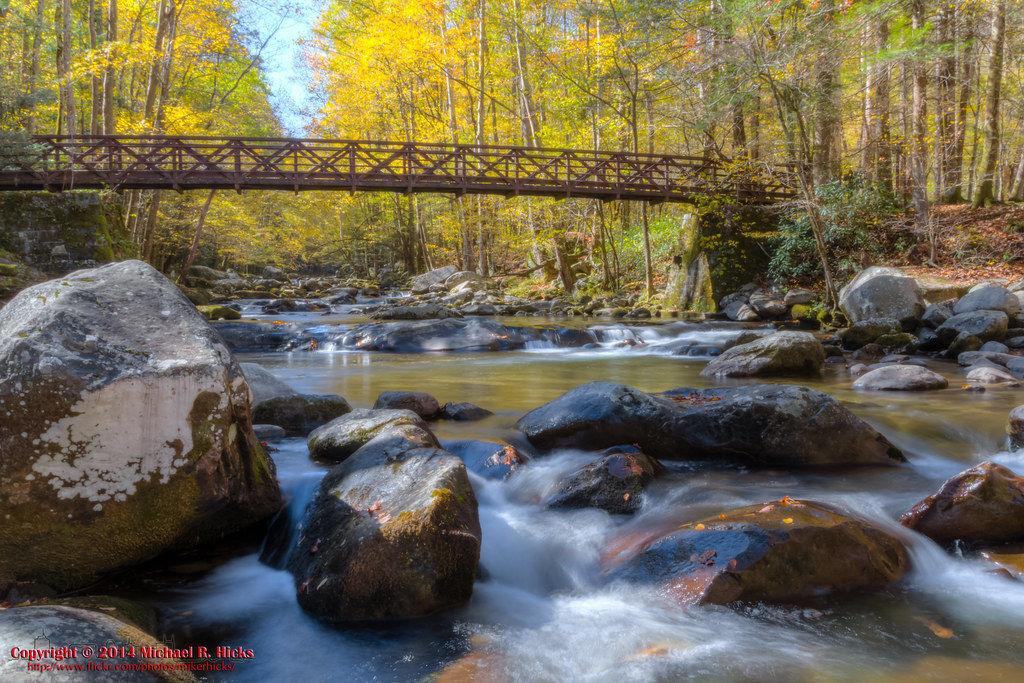
Big Creek, Tennessee
Max Patch mountain

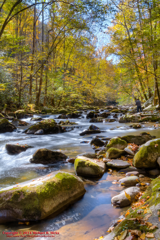
On Big Creek
Big Creek

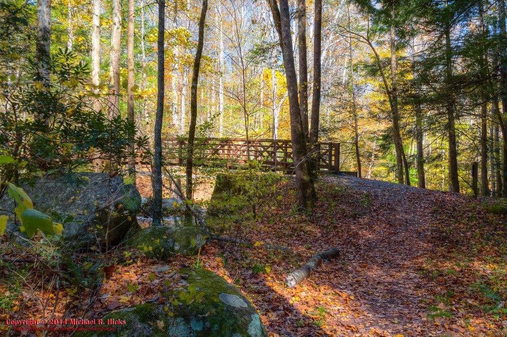
Path to the summit

On Big Creek
On Big Creek

Max Patch, N.C.
On Big Creek

Looking west
On Big Creek

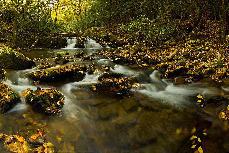
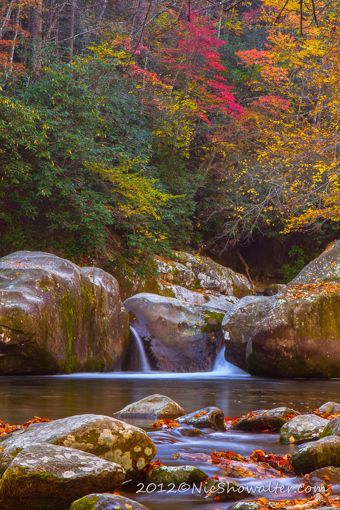
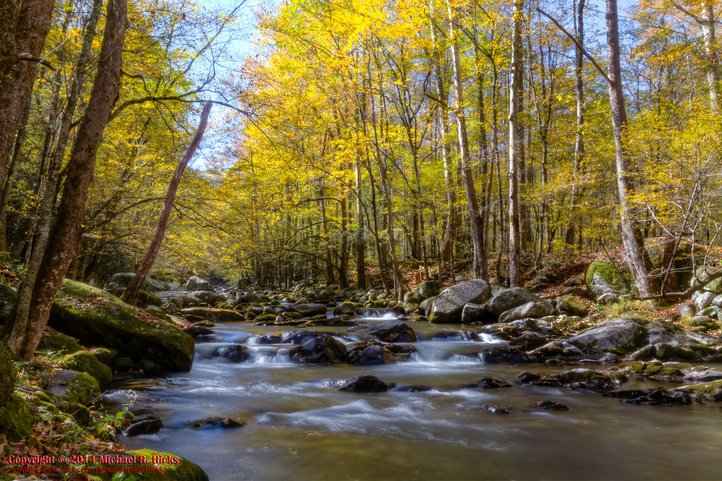
Smoky Mountains Streams

Little Big Creek
On Big Creek
Topographic Map of Spicewood Flats Rd, Del Rio, TN, USA
Find elevation by address:

Places near Spicewood Flats Rd, Del Rio, TN, USA:
1227 Blue Mill Rd
Ground Squirrel Rd, Del Rio, TN, USA
Blue Mill Road
1328 Blue Mill Rd
1072 Blue Mill Rd
1660 Blue Mill Rd
959 Blue Mill Rd
978 Corey Way
765 Bellcarry Way
540 Crane Way
1629 Blue Mill Rd
Fox Den
2975 Round Mountain Rd
Punkton Rd, Del Rio, TN, USA
231 Trinity Way
Piney Grove Baptist Church
Lost My Way
550 Tn-107
311 Dry Fork Rd
Punkton Road
Recent Searches:
- Elevation of Groblershoop, South Africa
- Elevation of Power Generation Enterprises | Industrial Diesel Generators, Oak Ave, Canyon Country, CA, USA
- Elevation of Chesaw Rd, Oroville, WA, USA
- Elevation of N, Mt Pleasant, UT, USA
- Elevation of 6 Rue Jules Ferry, Beausoleil, France
- Elevation of Sattva Horizon, 4JC6+G9P, Vinayak Nagar, Kattigenahalli, Bengaluru, Karnataka, India
- Elevation of Great Brook Sports, Gold Star Hwy, Groton, CT, USA
- Elevation of 10 Mountain Laurels Dr, Nashua, NH, USA
- Elevation of 16 Gilboa Ln, Nashua, NH, USA
- Elevation of Laurel Rd, Townsend, TN, USA