Elevation of Punkton Road, Punkton Rd, Tennessee, USA
Location: United States > Tennessee > Cocke County > Del Rio >
Longitude: -83.032713
Latitude: 35.8883986
Elevation: 487m / 1598feet
Barometric Pressure: 96KPa
Elevation Map:
Satellite Map:
Related Photos:

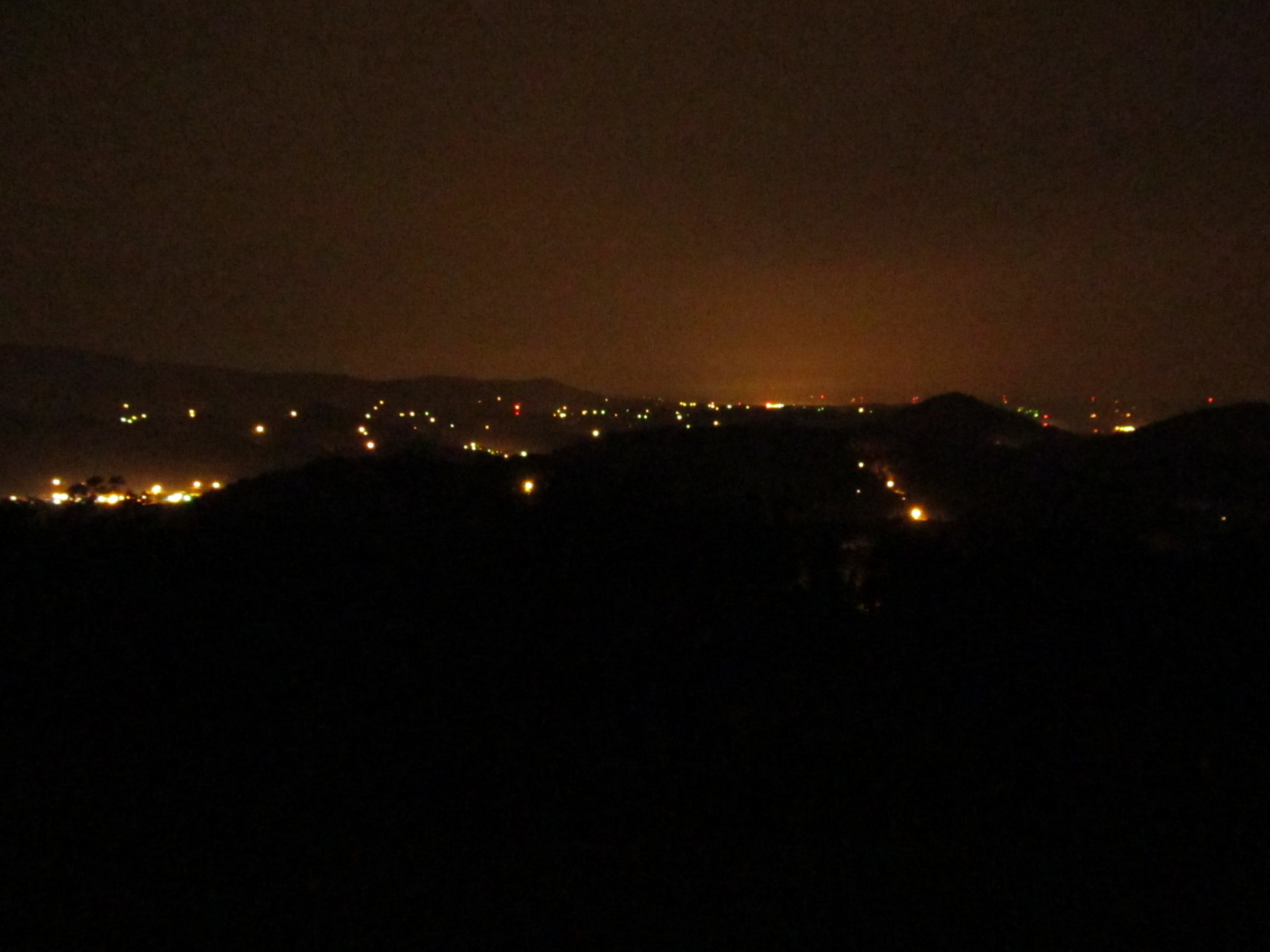
TrackHead Studios - Vista

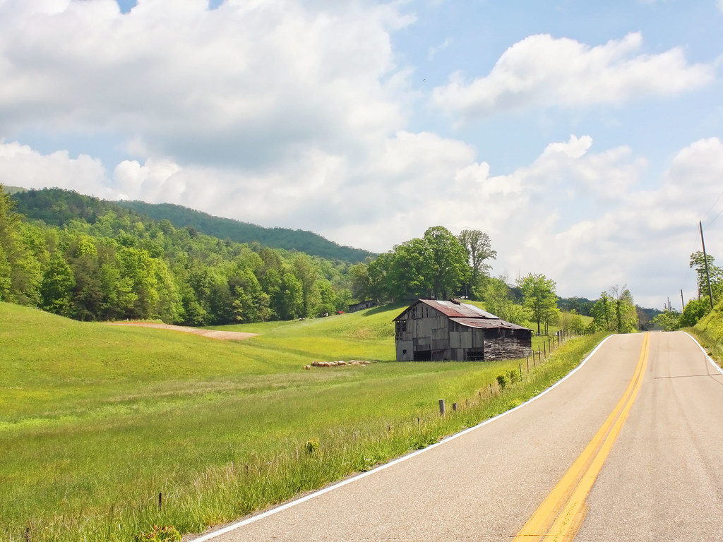
Rural Barn of Tennessee

Fall on Max Patch

max patch mayapple fields
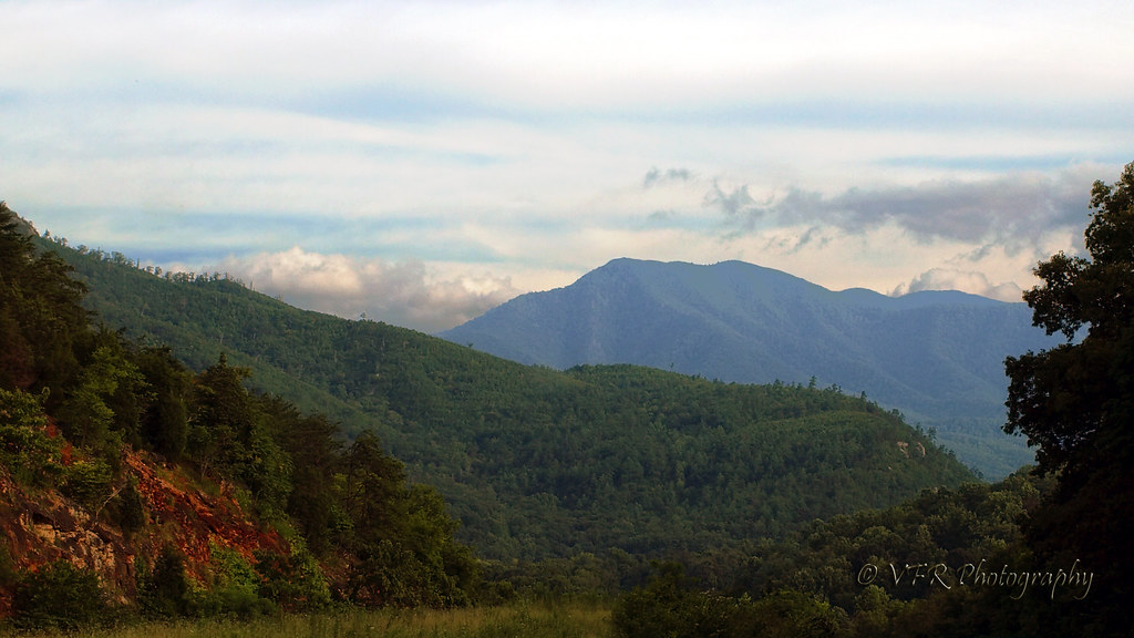
View of the Cosby Creek Valley from the Foothills Parkway Between I-40 and Gatlinburg, Tennessee

View of the Cosby Creek Valley from the Foothills Parkway Between I-40 and Gatlinburg, Tennessee
View of the Cosby Creek Valley from the Foothills Parkway Between I-40 and Gatlinburg, Tennessee

Room with a view

TrackHead Studios - Clouds Crawl Along

The Appalachian Trail

TrackHead Studios - Shady Mountain Top

Very hazy view of Tenn from Max Patch

TrackHead Studios - Forest Valley

Celebrating the 4th of July

TrackHead Studios - The Scenic Route

TrackHead Studios - Foothills of Smoky Mts.

Rainbows over Max Patch

max patch

View of Tennessee from Max Patch Bald
Houston Valley

View From Max Patch

The Hike

Winter Stroll

On Max Patch Bald on the TN/NC state line.

Smoky Mountains Streams
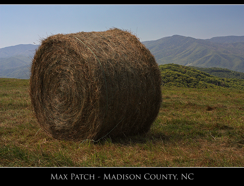
Max Patch

View of W4T/SU-073 - Cliffy Benchmark

Meadow Creek Lookout Tower
Pre-Gorge view
Topographic Map of Punkton Road, Punkton Rd, Tennessee, USA
Find elevation by address:

Places near Punkton Road, Punkton Rd, Tennessee, USA:
Punkton Road
805 Punkton Rd
597 Middle Fork Way
729 Messer Place Rd
Lost My Way
1110 Our Way
Piney Grove Baptist Church
505 Old 15th Rd
251 Old 15th Rd
247 Old 15th Rd
766 Messer Place Rd
540 Crane Way
Punkton Rd, Del Rio, TN, USA
489 Tn-107
765 Bellcarry Way
365 Catnip Rd
978 Corey Way
550 Tn-107
959 Blue Mill Rd
Del Rio, TN, USA
Recent Searches:
- Elevation of Groblershoop, South Africa
- Elevation of Power Generation Enterprises | Industrial Diesel Generators, Oak Ave, Canyon Country, CA, USA
- Elevation of Chesaw Rd, Oroville, WA, USA
- Elevation of N, Mt Pleasant, UT, USA
- Elevation of 6 Rue Jules Ferry, Beausoleil, France
- Elevation of Sattva Horizon, 4JC6+G9P, Vinayak Nagar, Kattigenahalli, Bengaluru, Karnataka, India
- Elevation of Great Brook Sports, Gold Star Hwy, Groton, CT, USA
- Elevation of 10 Mountain Laurels Dr, Nashua, NH, USA
- Elevation of 16 Gilboa Ln, Nashua, NH, USA
- Elevation of Laurel Rd, Townsend, TN, USA