Elevation of Piney Grove Baptist Church, Punkton Rd, Del Rio, TN, USA
Location: United States > Tennessee > Cocke County > Del Rio >
Longitude: -83.035796
Latitude: 35.8722355
Elevation: 539m / 1768feet
Barometric Pressure: 95KPa
Elevation Map:
Satellite Map:
Related Photos:
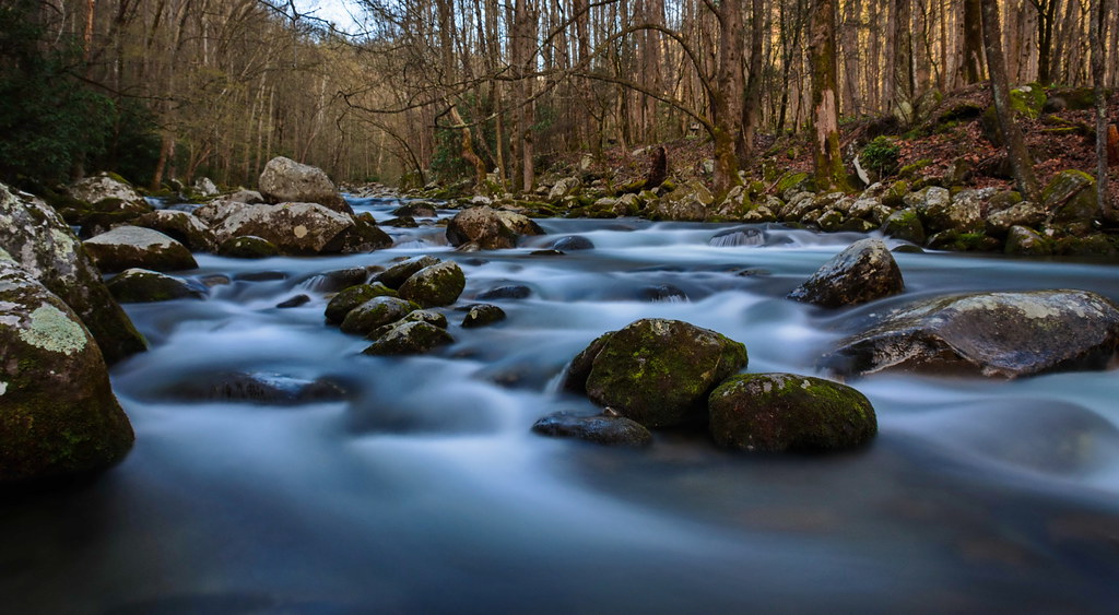
Baxter Creek
Baxter Creek Trailhead

TrackHead Studios - Vista

TrackHead Studios - Clouds Crawl Along

The Appalachian Trail

TrackHead Studios - Shady Mountain Top

Very hazy view of Tenn from Max Patch

TrackHead Studios - Forest Valley

TrackHead Studios - The Scenic Route

Celebrating the 4th of July

TrackHead Studios - Foothills of Smoky Mts.

Rainbows over Max Patch

View of Tennessee from Max Patch Bald

max patch
Houston Valley

View From Max Patch

The Smokey Mountains

Max Patch

View from Max Patch, looking east

Max Patch - October 12, 2013-052

View from Max Patch

123 along the French Broad

Humpback Rock

Harmon Den Creek in North Carolina.

Mouse Creek Falls from Trail

135 at Newport

Let's go for a Swim

the emerald city

The Hike

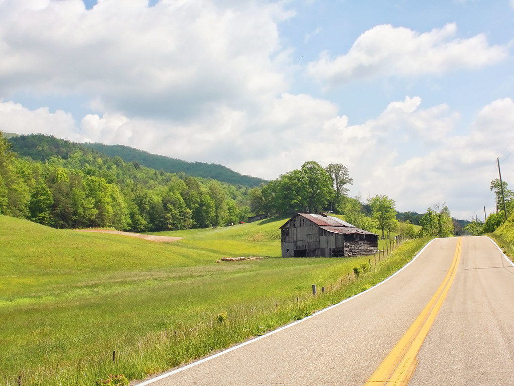
Parrottsville Country

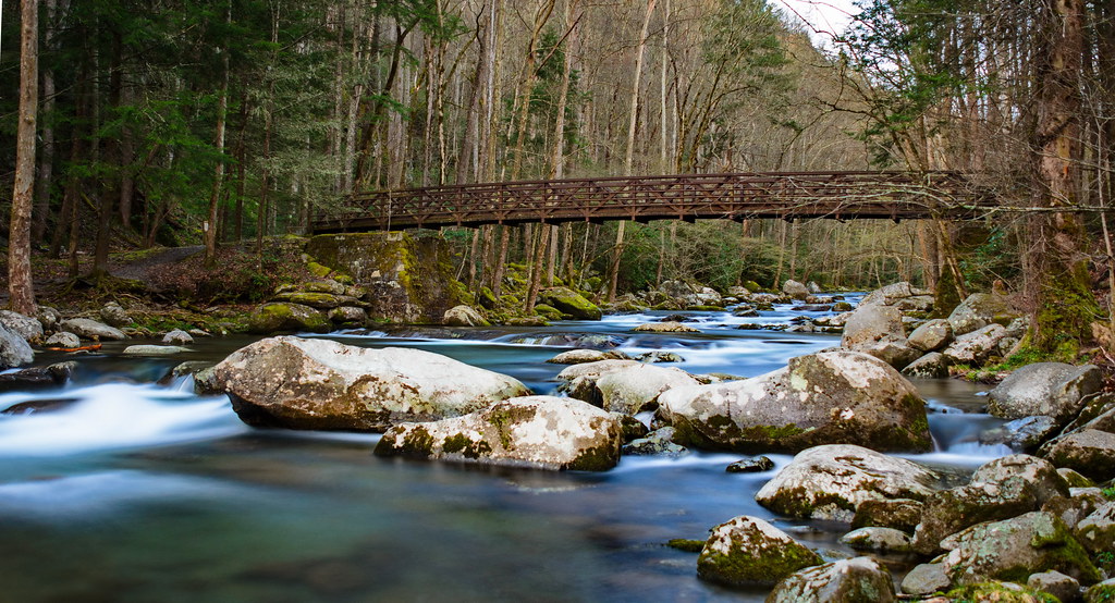
Big Creek Cascade

Long walk up

Pisgah National Forest
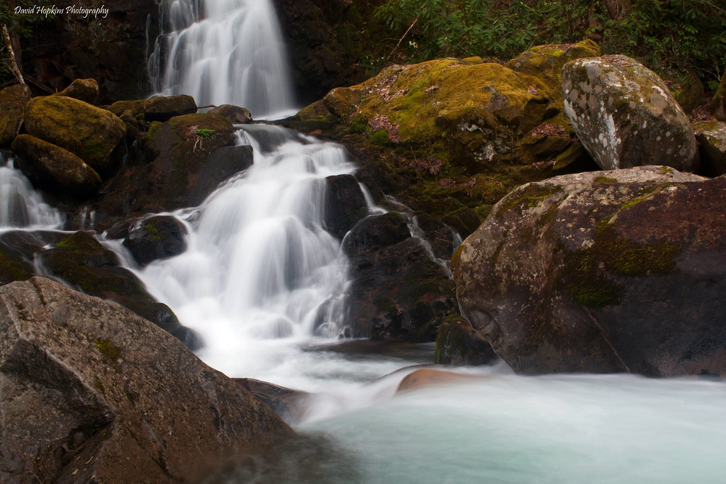
Mouse Creek Falls
Topographic Map of Piney Grove Baptist Church, Punkton Rd, Del Rio, TN, USA
Find elevation by address:

Places near Piney Grove Baptist Church, Punkton Rd, Del Rio, TN, USA:
Lost My Way
Punkton Rd, Del Rio, TN, USA
1110 Our Way
540 Crane Way
978 Corey Way
Punkton Road
Punkton Road
805 Punkton Rd
729 Messer Place Rd
5298 Yates Rd
766 Messer Place Rd
597 Middle Fork Way
765 Bellcarry Way
1072 Blue Mill Rd
959 Blue Mill Rd
1225 Spicewood Flats Rd
505 Old 15th Rd
1227 Blue Mill Rd
Blue Mill Road
Ground Squirrel Rd, Del Rio, TN, USA
Recent Searches:
- Elevation of N, Mt Pleasant, UT, USA
- Elevation of 6 Rue Jules Ferry, Beausoleil, France
- Elevation of Sattva Horizon, 4JC6+G9P, Vinayak Nagar, Kattigenahalli, Bengaluru, Karnataka, India
- Elevation of Great Brook Sports, Gold Star Hwy, Groton, CT, USA
- Elevation of 10 Mountain Laurels Dr, Nashua, NH, USA
- Elevation of 16 Gilboa Ln, Nashua, NH, USA
- Elevation of Laurel Rd, Townsend, TN, USA
- Elevation of 3 Nestling Wood Dr, Long Valley, NJ, USA
- Elevation of Ilungu, Tanzania
- Elevation of Yellow Springs Road, Yellow Springs Rd, Chester Springs, PA, USA