Elevation of Blue Mill Rd, Del Rio, TN, USA
Location: United States > Tennessee > Cocke County > Del Rio >
Longitude: -83.003087
Latitude: 35.8673195
Elevation: 453m / 1486feet
Barometric Pressure: 96KPa
Elevation Map:
Satellite Map:
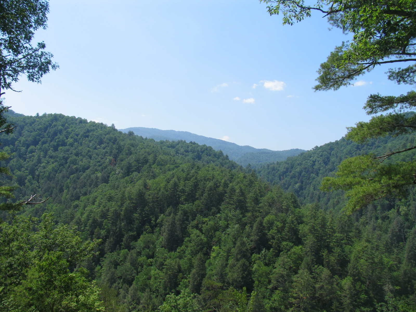
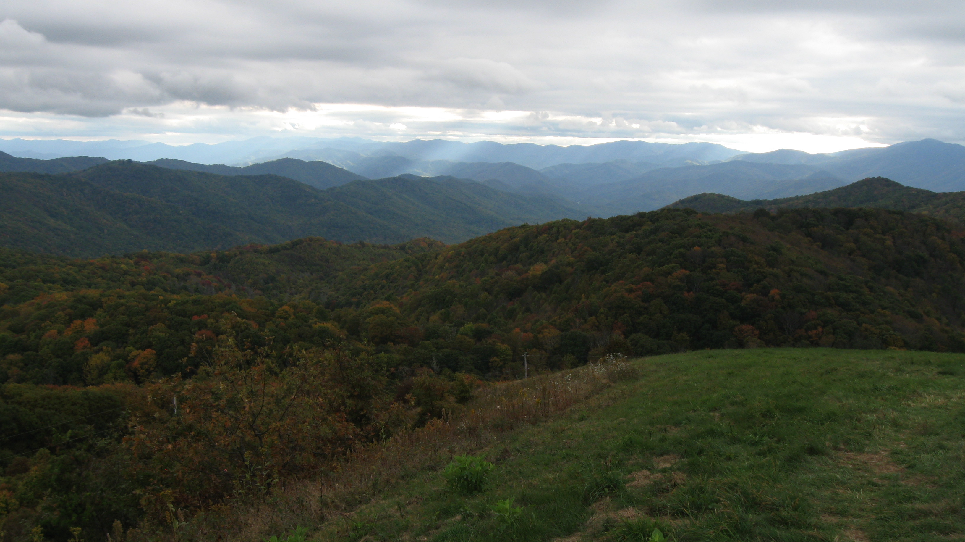
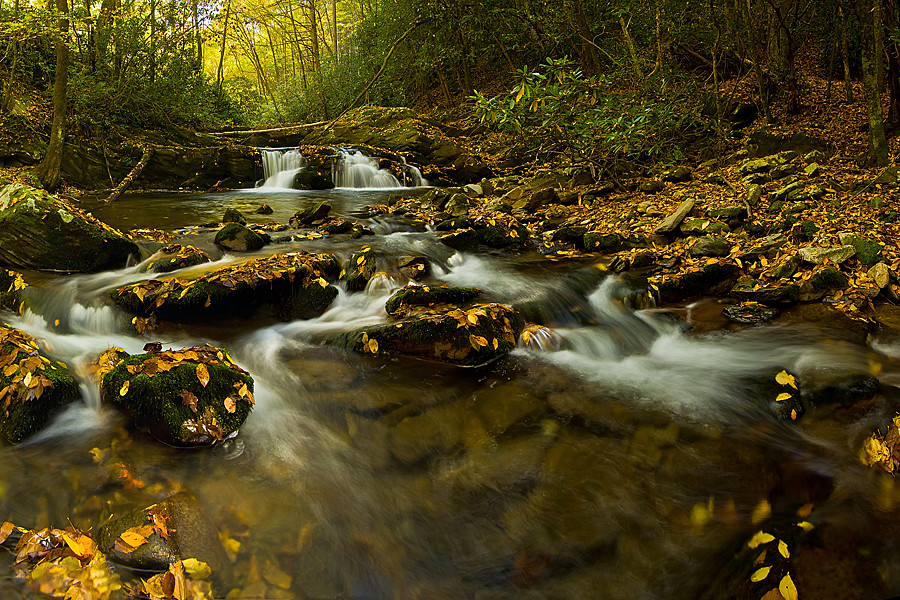
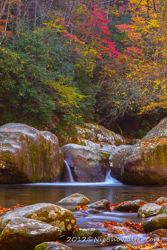
Related Photos:

Rainbows over Max Patch

Max Patch - October 12, 2013-028

Celebrating the 4th of July

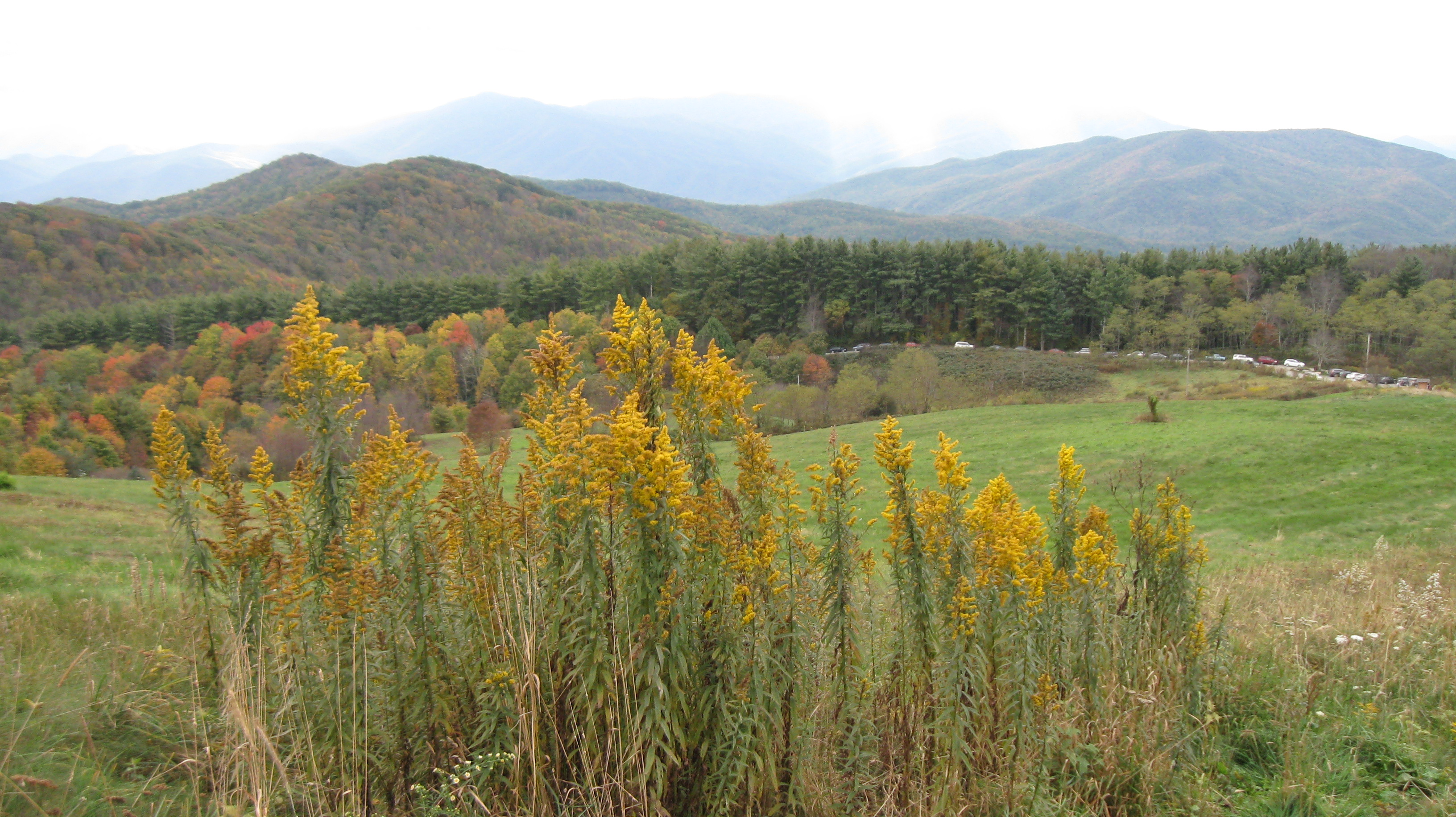
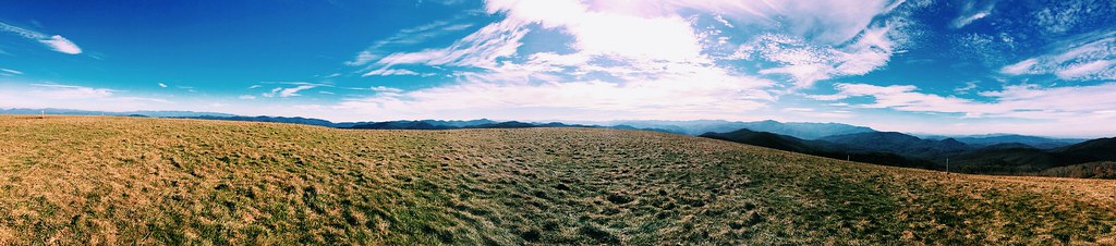
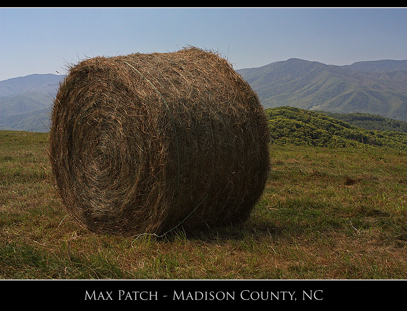
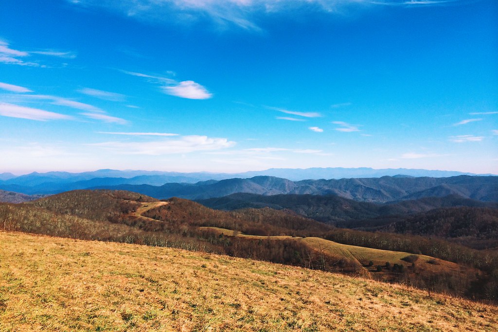
Max Patch

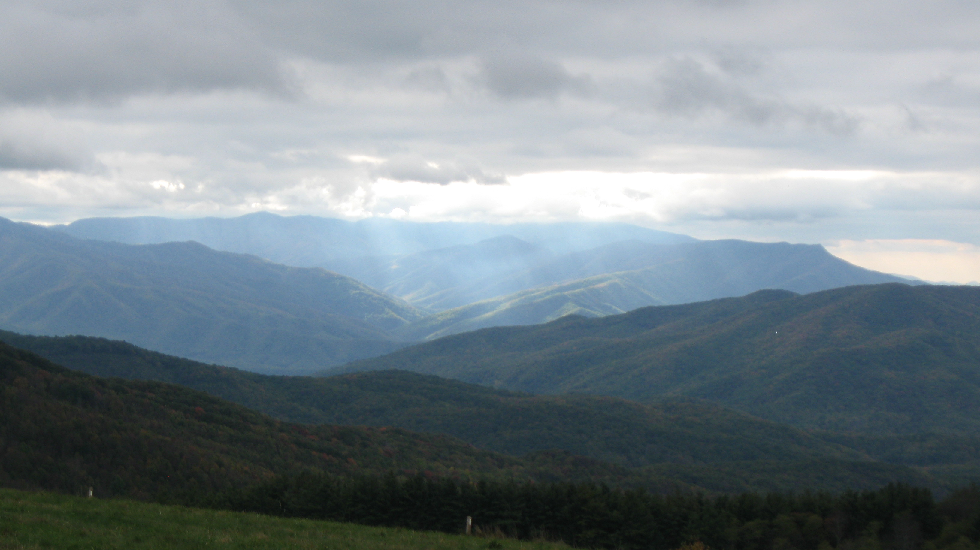
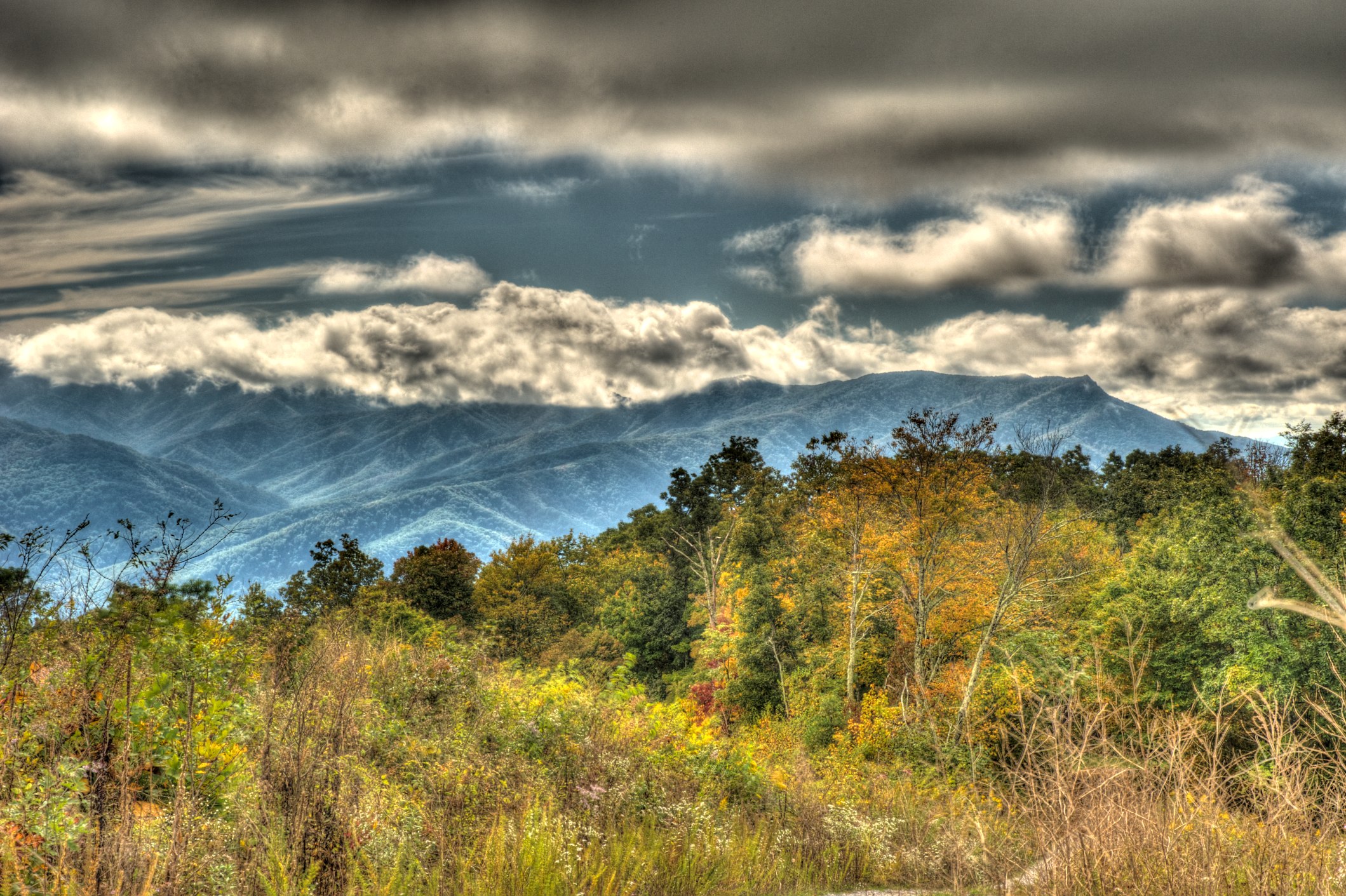
The Smokey Mountains

View from Max Patch

Fall on Max Patch

max patch

tracks & mountains

Houston Valley

View from Max Patch, looking east

View from Max Patch

The Appalachian Trail
Max Patch - October 12, 2013-036
Max Patch - October 12, 2013-051

Max Patch - October 12, 2013-065

View from Meadow Creek Firetower
View looking north from Max Patch
View from Snowbird Mtn - W4T/SU-035
NC 209 Scenic View
Max Patch - October 12, 2013-008
Harmon Den Creek in North Carolina.

On Big Creek
Big Creek
123 along the French Broad
On Big Creek

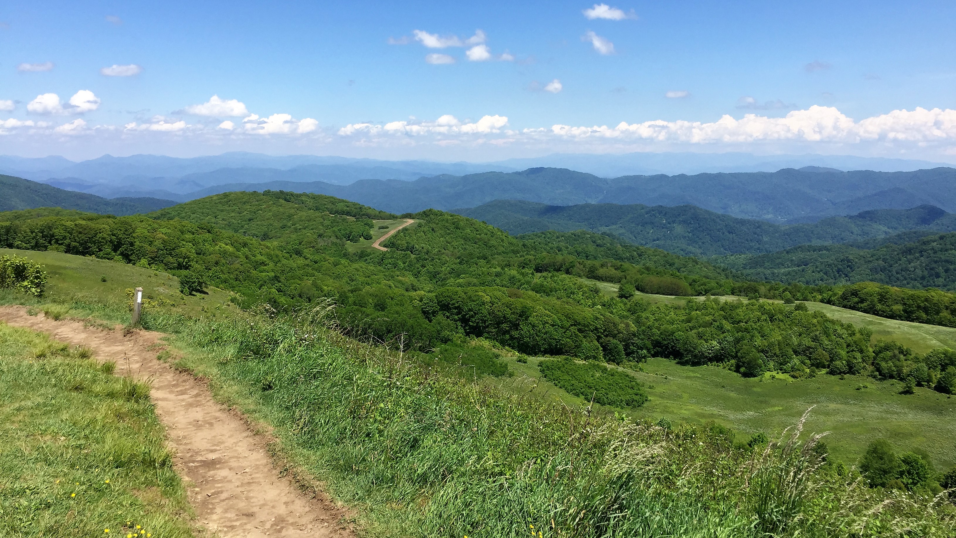
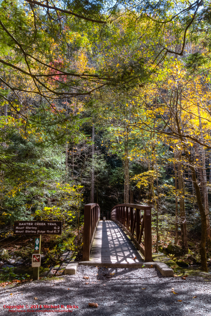
Path to the summit

Max Patch, N.C. Sunset

On Big Creek

Max Patch, N.C.
On Big Creek
On Big Creek

Smoky Mountains Streams
2013-11-19 13.32.48

Little Big Creek
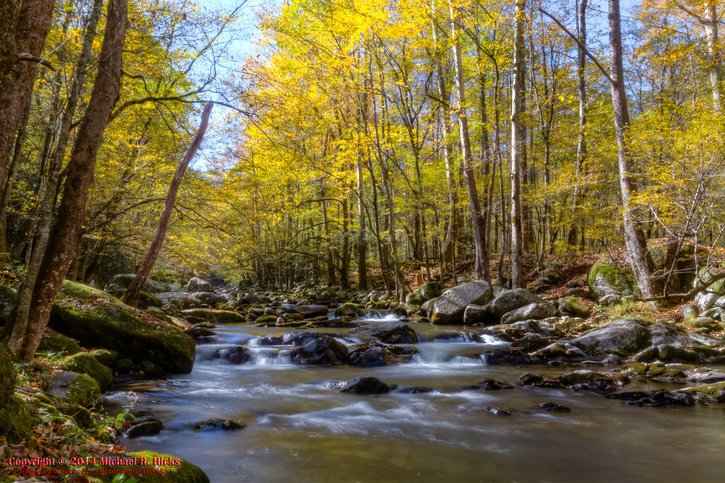
On Big Creek
Max Patch
On Big Creek
2013-11-19 13.41.21
Big Creek

Standing on top of #maxpatch , the bald #mountain. Beautiful #sunset behind #clouds
Topographic Map of Blue Mill Rd, Del Rio, TN, USA
Find elevation by address:

Places near Blue Mill Rd, Del Rio, TN, USA:
1225 Spicewood Flats Rd
Ground Squirrel Rd, Del Rio, TN, USA
Blue Mill Road
1328 Blue Mill Rd
1072 Blue Mill Rd
1660 Blue Mill Rd
1629 Blue Mill Rd
959 Blue Mill Rd
765 Bellcarry Way
978 Corey Way
540 Crane Way
2975 Round Mountain Rd
Fox Den
231 Trinity Way
Punkton Rd, Del Rio, TN, USA
311 Dry Fork Rd
Piney Grove Baptist Church
Lost My Way
550 Tn-107
Punkton Road
Recent Searches:
- Elevation of Lagasgasan, X+CQH, Tiaong, Quezon, Philippines
- Elevation of Rojo Ct, Atascadero, CA, USA
- Elevation of Flagstaff Drive, Flagstaff Dr, North Carolina, USA
- Elevation of Avery Ln, Lakeland, FL, USA
- Elevation of Woolwine, VA, USA
- Elevation of Lumagwas Diversified Farmers Multi-Purpose Cooperative, Lumagwas, Adtuyon, RV32+MH7, Pangantucan, Bukidnon, Philippines
- Elevation of Homestead Ridge, New Braunfels, TX, USA
- Elevation of Orchard Road, Orchard Rd, Marlborough, NY, USA
- Elevation of 12 Hutchinson Woods Dr, Fletcher, NC, USA
- Elevation of Holloway Ave, San Francisco, CA, USA