Elevation of Corey Way, Del Rio, TN, USA
Location: United States > Tennessee > Cocke County > Del Rio >
Longitude: -83.022636
Latitude: 35.8680486
Elevation: 555m / 1821feet
Barometric Pressure: 95KPa
Elevation Map:
Satellite Map:
Related Photos:
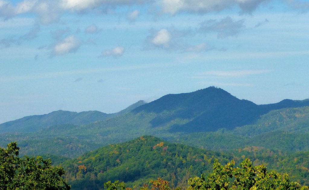
TrackHead Studios - Shady Mountain Top
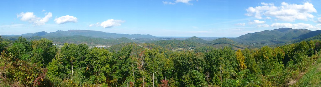
TrackHead Studios - Forest Valley

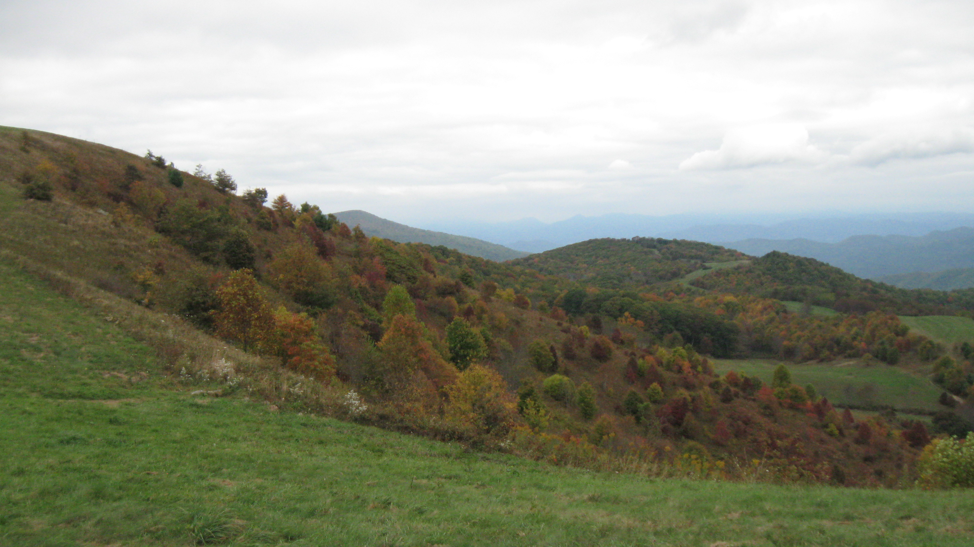
Fall on Max Patch
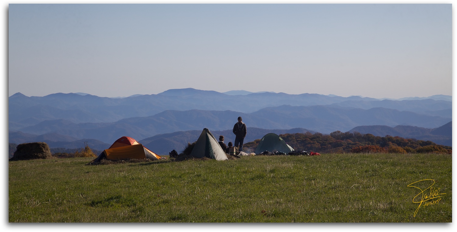
Max Patch - October 12, 2013-026
Room with a view
Baxter Creek

Baxter Creek Trailhead

Celebrating the 4th of July
View from Max Patch

TrackHead Studios - Clouds Crawl Along

Max Patch

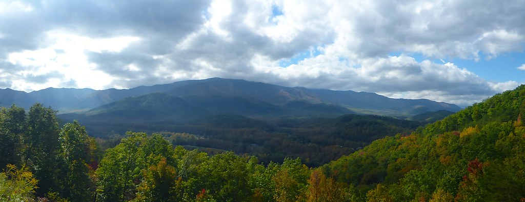
The Smokey Mountains

View from Max Patch
TrackHead Studios - Vista
View looking north from Max Patch

View From Max Patch
TrackHead Studios - Foothills of Smoky Mts.

max patch

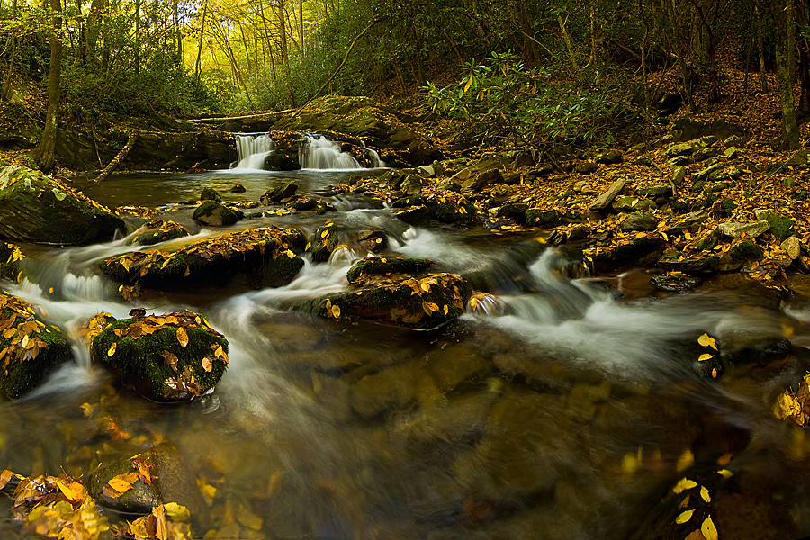
Midnight Hole Falls, 6 feet high

View from Meadow Creek Firetower

The Appalachian Trail

Parrottsville Country

Rainbows over Max Patch

View from Max Patch

View from Max Patch, looking east

Houston Valley
Harmon Den Creek in North Carolina.

On Big Creek

Step into Nature

Path to the summit

Looking west
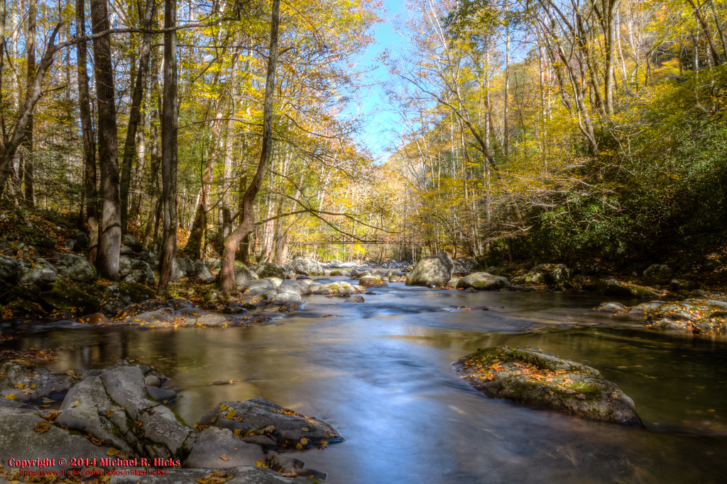
On Big Creek
Topographic Map of Corey Way, Del Rio, TN, USA
Find elevation by address:

Places near Corey Way, Del Rio, TN, USA:
540 Crane Way
Punkton Rd, Del Rio, TN, USA
Piney Grove Baptist Church
Lost My Way
1225 Spicewood Flats Rd
1072 Blue Mill Rd
765 Bellcarry Way
1227 Blue Mill Rd
959 Blue Mill Rd
Ground Squirrel Rd, Del Rio, TN, USA
Blue Mill Road
Punkton Road
Punkton Road
805 Punkton Rd
1328 Blue Mill Rd
1110 Our Way
1660 Blue Mill Rd
Fox Den
729 Messer Place Rd
550 Tn-107
Recent Searches:
- Elevation of N, Mt Pleasant, UT, USA
- Elevation of 6 Rue Jules Ferry, Beausoleil, France
- Elevation of Sattva Horizon, 4JC6+G9P, Vinayak Nagar, Kattigenahalli, Bengaluru, Karnataka, India
- Elevation of Great Brook Sports, Gold Star Hwy, Groton, CT, USA
- Elevation of 10 Mountain Laurels Dr, Nashua, NH, USA
- Elevation of 16 Gilboa Ln, Nashua, NH, USA
- Elevation of Laurel Rd, Townsend, TN, USA
- Elevation of 3 Nestling Wood Dr, Long Valley, NJ, USA
- Elevation of Ilungu, Tanzania
- Elevation of Yellow Springs Road, Yellow Springs Rd, Chester Springs, PA, USA