Elevation of Blue Mill Road, Blue Mill Rd, Tennessee, USA

Location: United States > Tennessee > Cocke County > Del Rio >

Longitude: -83.002191

Latitude: 35.8723008

Elevation: 454m / 1489feet

Barometric Pressure: 96KPa

Elevation Map:

elevation map of Blue Mill Road, Blue Mill Rd, Tennessee, USA

Satellite Map:

Satellite map of Blue Mill Road, Blue Mill Rd, Tennessee, USA

Related Photos:

rainbow northcarolina rainbows blueridge blackmountains maxpatch greatsmokies maxpatchmountain
Rainbows over Max Patch
barbdpics sonydscrx100m3 northcarolina maxpatch ourdailychallenge odc standingout
Celebrating the 4th of July
barbdpics sonydscrx100m3 northcarolina maxpatch
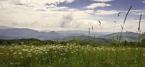
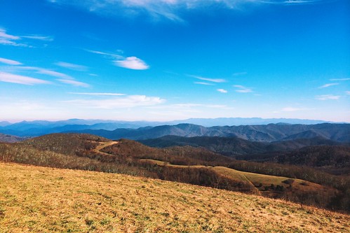
Max Patch
barbdpics sonydscrx100m3 northcarolina maxpatch
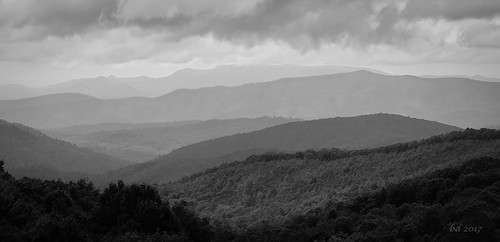
The Smokey Mountains
barbdpics sonydscrx100m3 northcarolina maxpatch
View from Max Patch
mountain canon asheville bald northcarolina blueridge wnc maxpatch g10
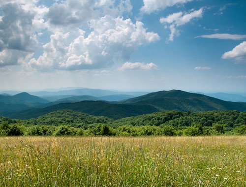
View From Max Patch
autumn mountain mountains fall outdoors nc tn hiking tennessee exploring border bald northcarolina hike 2012 maxpatch
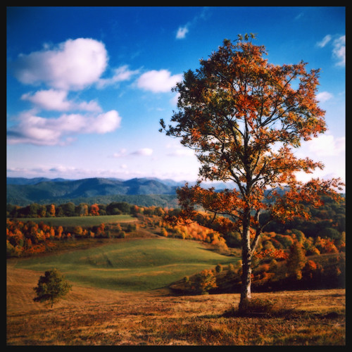
Fall on Max Patch
autumn trees sky mountains color tree fall leaves forest mediumformat leaf maxpatch 100iso agfaoptima hotspringsnc kowasix madisoncountync
max patch
road barn rural farm tennessee greenecounty
Houston Valley
autumn mountains forest october bald northcarolina cherokee madisoncounty 2014 maxpatch
View from Max Patch, looking east
View from Max Patch
barbdpics sonydscrx100m3 northcarolina maxpatch
The Appalachian Trail
autumn mountains outdoors october hiking northcarolina madisoncounty pisgah maxpatch 2013
Max Patch - October 12, 2013-036
autumn mountains outdoors october hiking northcarolina madisoncounty pisgah maxpatch 2013
Max Patch - October 12, 2013-051
autumn mountains outdoors october hiking northcarolina madisoncounty pisgah maxpatch 2013
Max Patch - October 12, 2013-065
sota summitsontheair yaesuft817 ki4svm lnrtrailfriendlyendfedz hardrock50amp w4tsu073cliffybenchmark
View from Meadow Creek Firetower
View looking north from Max Patch
sota snowbirdmountain summitsontheair w1dmh ki4svm w4tsu035
View from Snowbird Mtn - W4T/SU-035
mountains outdoors day favorites northcarolina clear 2008 madisoncounty
NC 209 Scenic View
autumn mountains outdoors october hiking northcarolina madisoncounty pisgah maxpatch 2013
Max Patch - October 12, 2013-008
sota snowbirdmountain summitsontheair w1dmh ki4svm w4tsu035
View from Snowbird Mtn - W4T/SU-035
road trees light green forest tennessee remote fireroad roundmountain
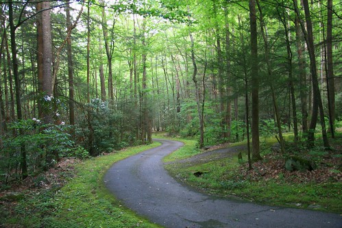
The Road Less Traveled
road flowers camping trees forest geotagged quiet tennessee campground basecamp roundmountain
Best place on the planet to camp.
harmondencreekpedited3
Harmon Den Creek in North Carolina.
travel hiking northcarolina maxpatch
Path to the summit
Max Patch, N.C.
travel hiking northcarolina maxpatch
Looking west
tennessee northcarolina smokymountainsstreams
Smoky Mountains Streams
mountains rural landscape nc farm farming bald northcarolina hay appalachian bales maxpatch
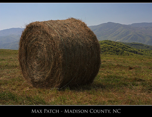
Max Patch
mountains nature northcarolina blueridgemountains iphone vsco iphonography vscocam
2013-11-19 13.41.21