Elevation of Blue Mill Rd, Del Rio, TN, USA
Location: United States > Tennessee > Cocke County > Del Rio >
Longitude: -82.992929
Latitude: 35.8625052
Elevation: 510m / 1673feet
Barometric Pressure: 95KPa
Elevation Map:
Satellite Map:
Related Photos:

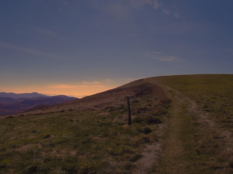
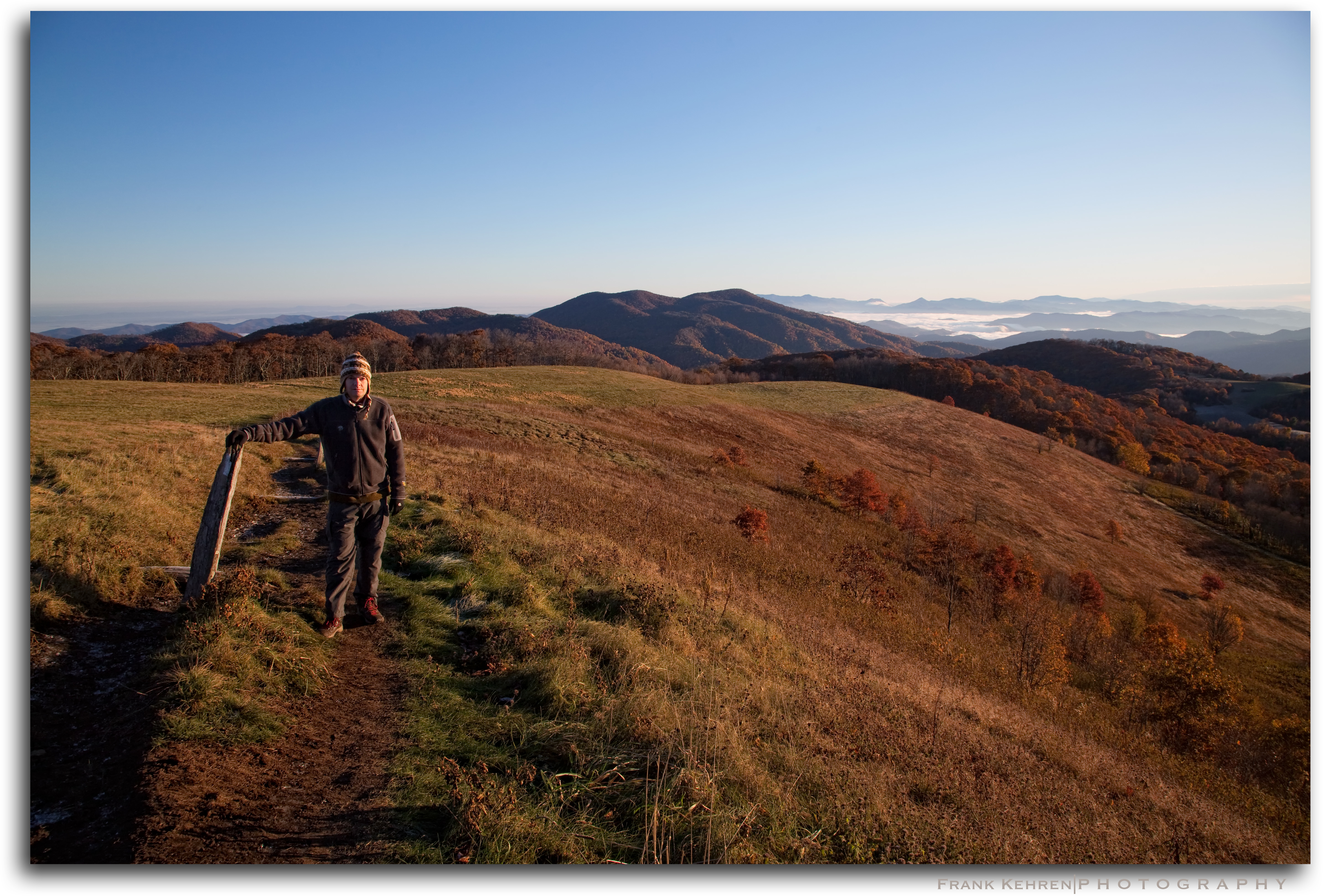
View of Tennessee from Max Patch Bald

Meadow Creek Lookout Tower
MAX PATCH BALD

Meadow Creek Lookout Tower

Meadow Creek Lookout Tower

Meadow Creek Lookout Tower

Meadow Creek Lookout Tower

Max Patch

Max Patch

The Appalachian Trail

Very hazy view of Tenn from Max Patch

Celebrating the 4th of July

Rainbows over Max Patch

max patch
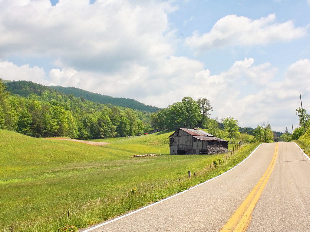
Houston Valley

View From Max Patch

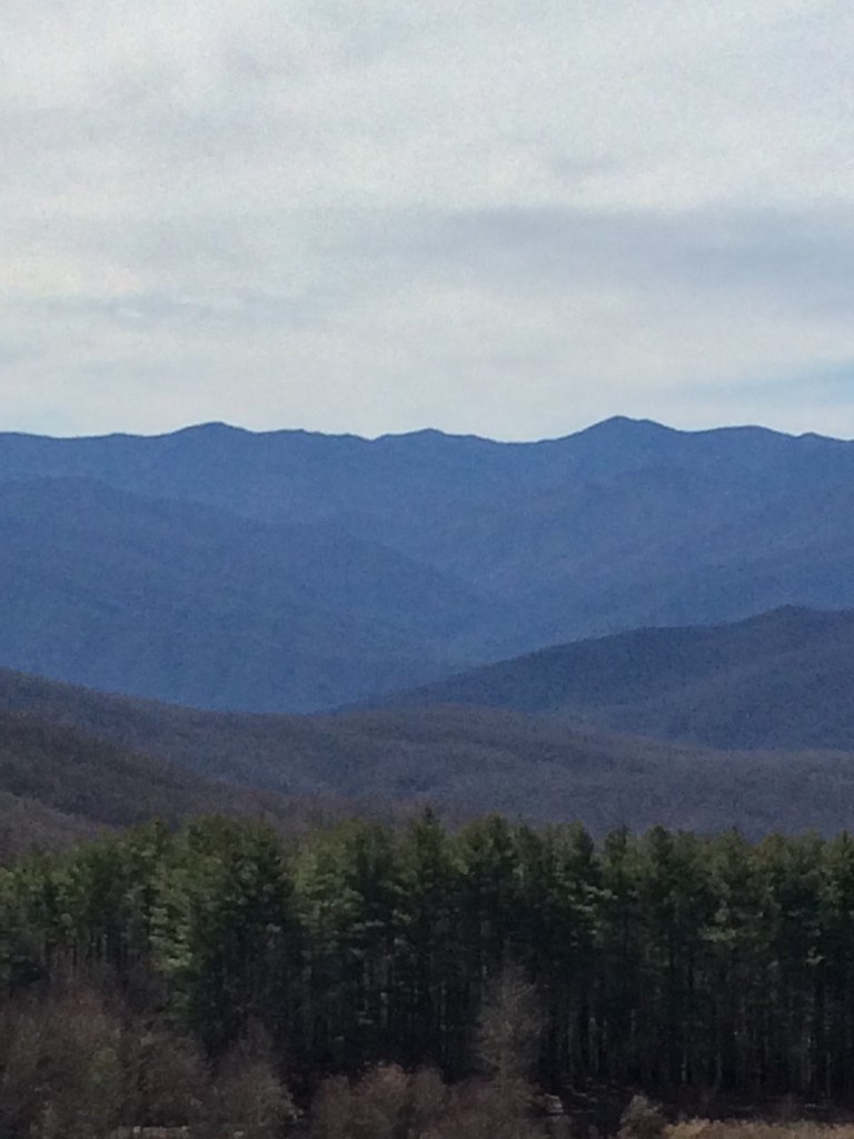
The Smokey Mountains

Max Patch

View from Meadow Creek Firetower

View from Max Patch

View from Max Patch

Long walk up

Pisgah National Forest
Max Patch Bald

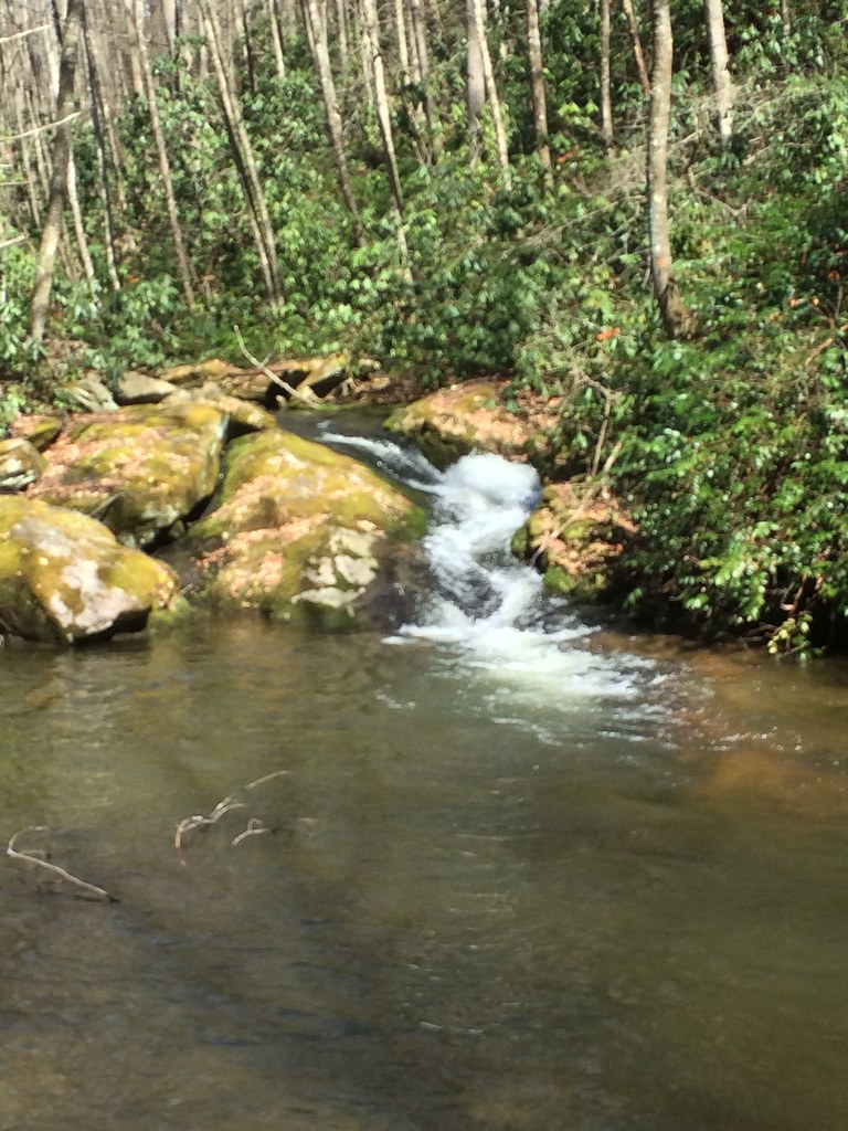
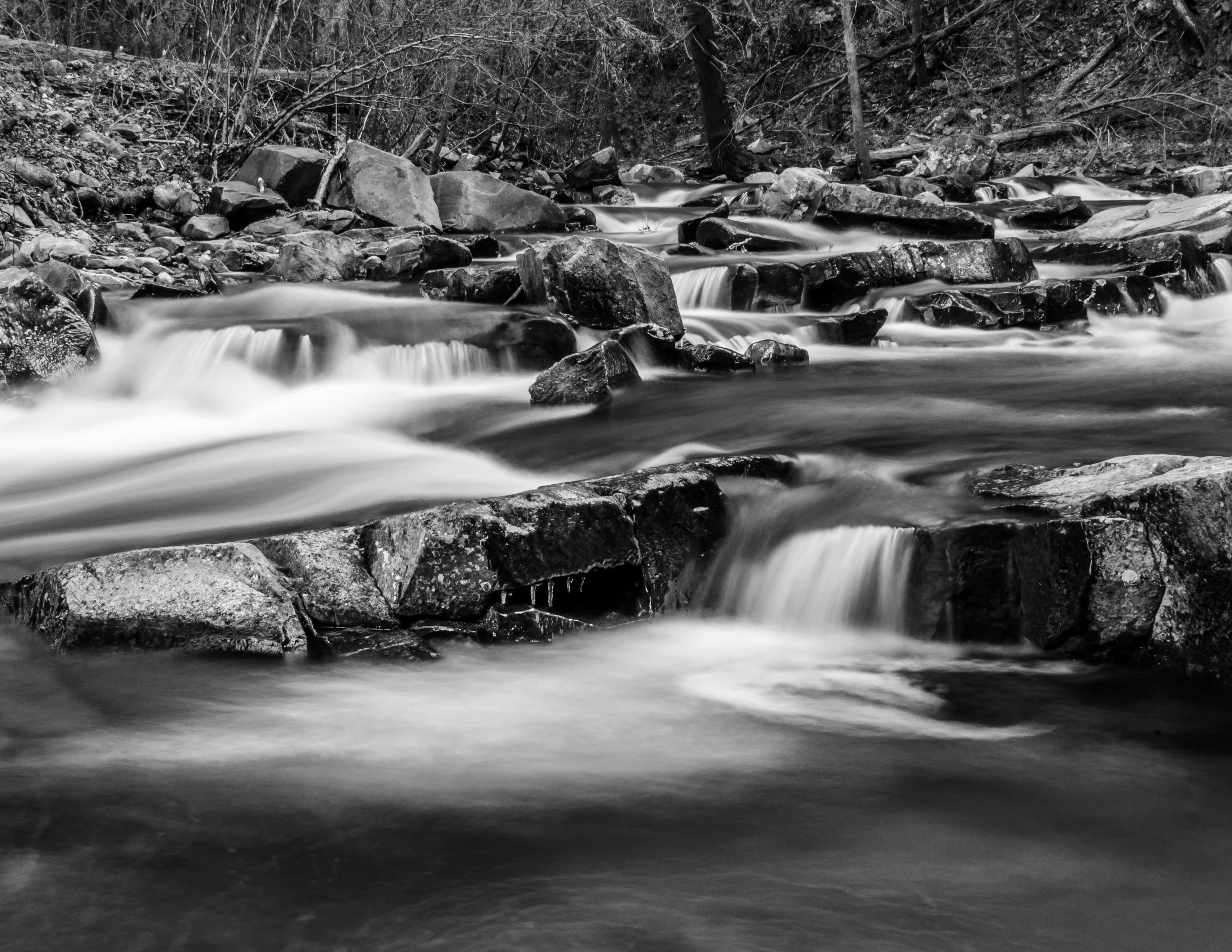
Smoky Mountains Streams
Smokies from Max Patch Bald

Fall on Max Patch

max patch mayapple fields
Appalachian Trail on Max Patch

Max Patch Sunrise

Big Creek, Tennessee
DSC_9472-29-1

123 along the French Broad

Harmon Den Creek in North Carolina.

the emerald city
Topographic Map of Blue Mill Rd, Del Rio, TN, USA
Find elevation by address:

Places near Blue Mill Rd, Del Rio, TN, USA:
1629 Blue Mill Rd
1328 Blue Mill Rd
1227 Blue Mill Rd
2975 Round Mountain Rd
Ground Squirrel Rd, Del Rio, TN, USA
1225 Spicewood Flats Rd
Blue Mill Road
231 Trinity Way
1072 Blue Mill Rd
959 Blue Mill Rd
765 Bellcarry Way
Fox Den
978 Corey Way
311 Dry Fork Rd
540 Crane Way
Punkton Rd, Del Rio, TN, USA
550 Tn-107
621 Seabiscuit Way
Piney Grove Baptist Church
Lost My Way
Recent Searches:
- Elevation of N, Mt Pleasant, UT, USA
- Elevation of 6 Rue Jules Ferry, Beausoleil, France
- Elevation of Sattva Horizon, 4JC6+G9P, Vinayak Nagar, Kattigenahalli, Bengaluru, Karnataka, India
- Elevation of Great Brook Sports, Gold Star Hwy, Groton, CT, USA
- Elevation of 10 Mountain Laurels Dr, Nashua, NH, USA
- Elevation of 16 Gilboa Ln, Nashua, NH, USA
- Elevation of Laurel Rd, Townsend, TN, USA
- Elevation of 3 Nestling Wood Dr, Long Valley, NJ, USA
- Elevation of Ilungu, Tanzania
- Elevation of Yellow Springs Road, Yellow Springs Rd, Chester Springs, PA, USA