Elevation of Snyder Hill Rd, Cattaraugus, NY, USA
Location: United States > New York > Cattaraugus County > Persia >
Longitude: -78.913860
Latitude: 42.3512836
Elevation: 558m / 1831feet
Barometric Pressure: 95KPa
Elevation Map:
Satellite Map:
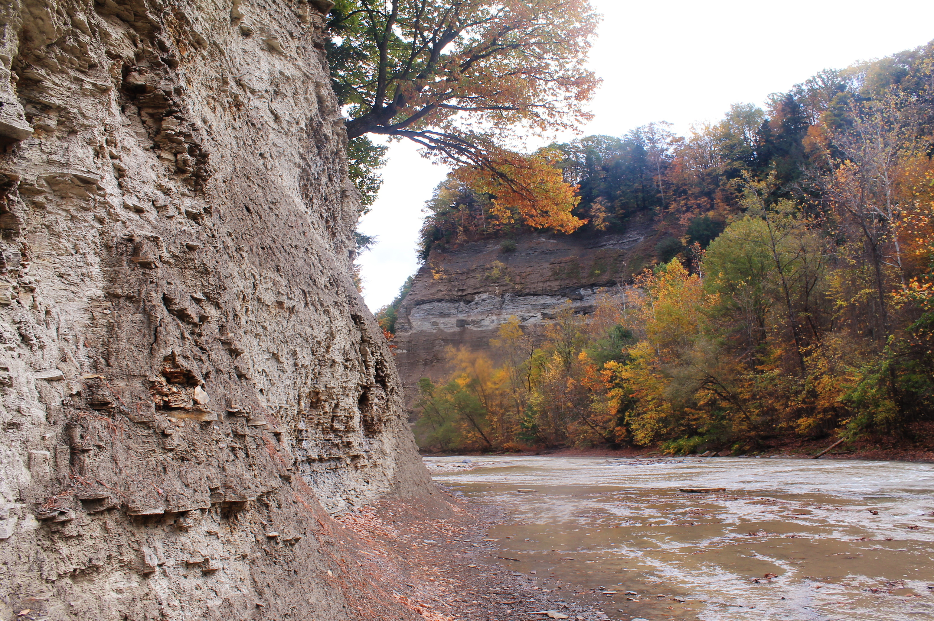
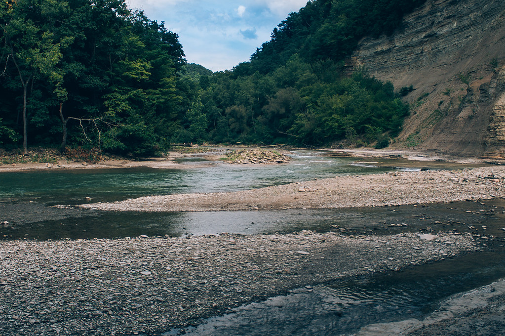
Related Photos:
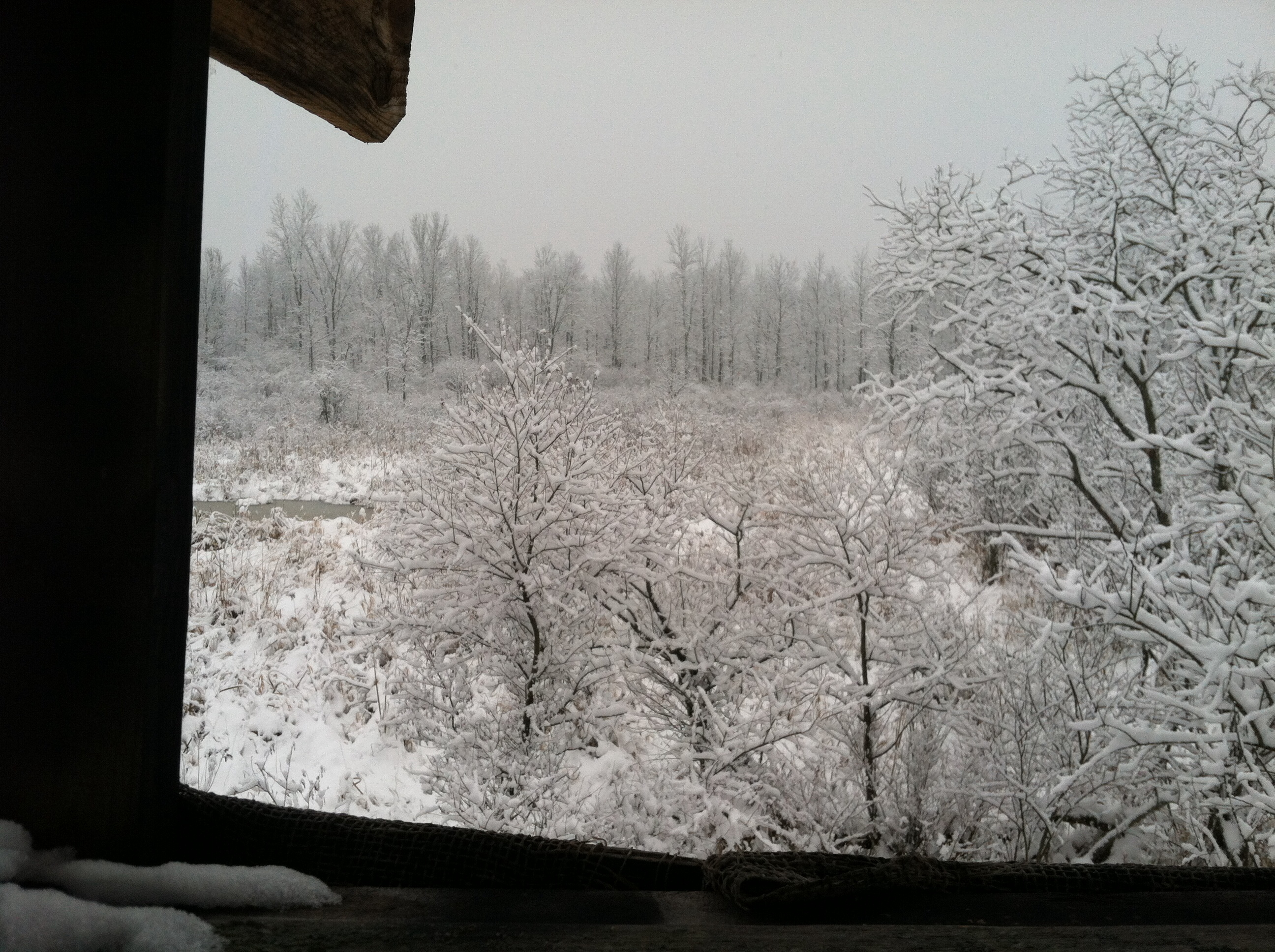
A view from my deer stand.
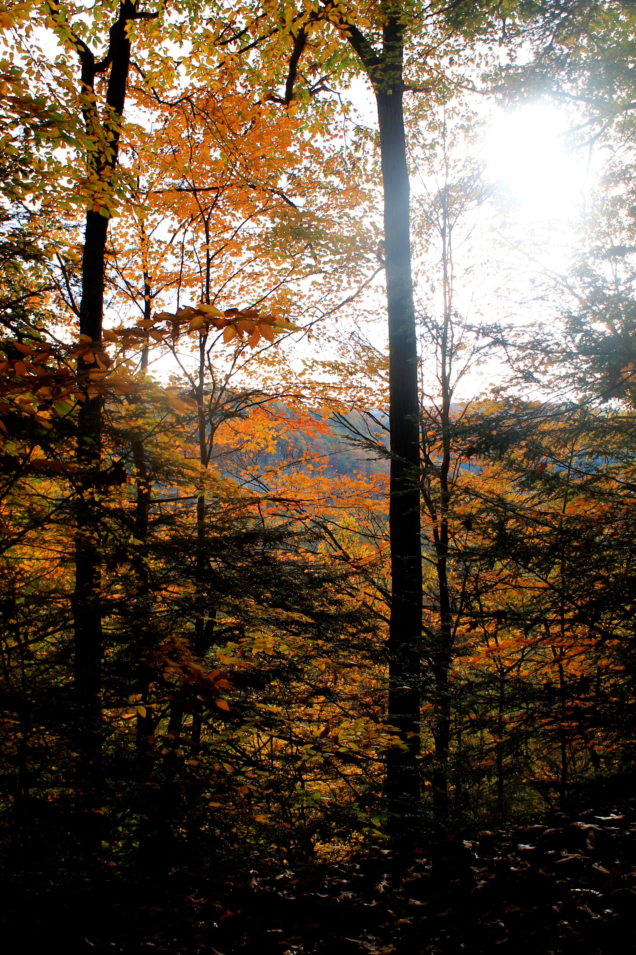
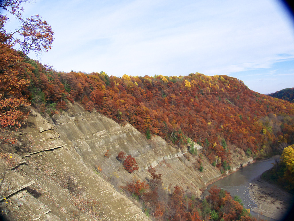
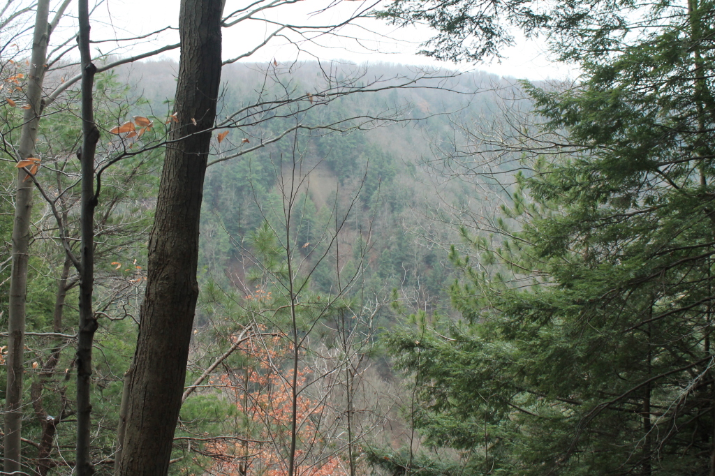
First View Of Zoar Valley
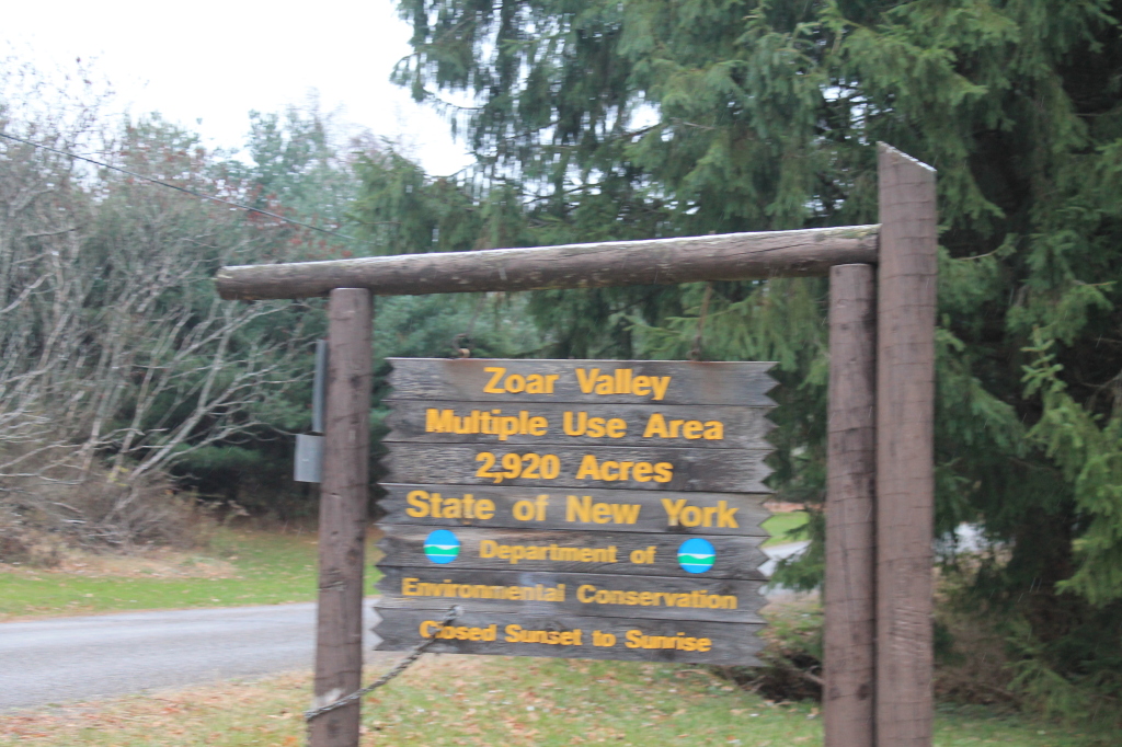
Zoar Valley MUA Trail Sign
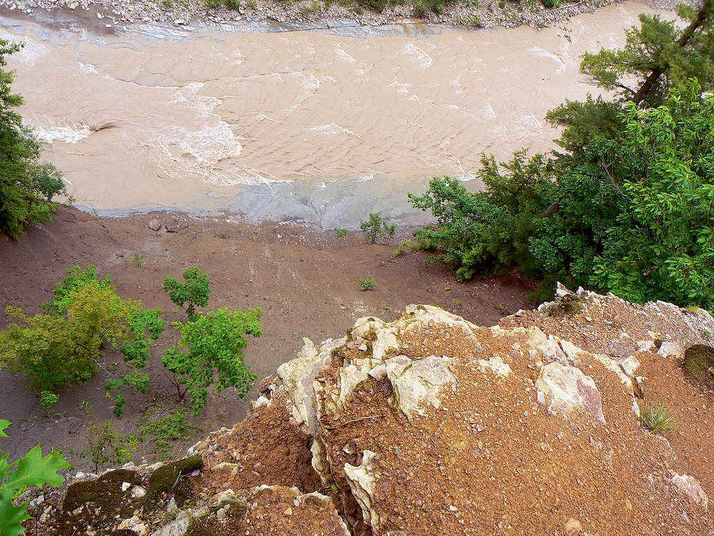
Looking over the edge of the Pyramid @ Zoar Valley, Cattaraugus Creek
PyramidRckViewOfKifEdgRdge 141_R
OutFrmKnfEdgRdg 204_R
MartinPt-Convergence 165_R
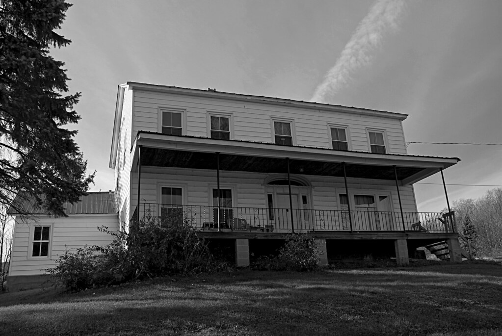
Grandmas Haunted House DSC_0002 B&W
A-NatBBBeach27_R
OutFrmKnfEdgRdg 216_R
OutFrmKnfEdgRdg 215_R
TowardLookOut 166_R
OutFrmKnfEdgRdg 202_R
TowardLookOut 167_R
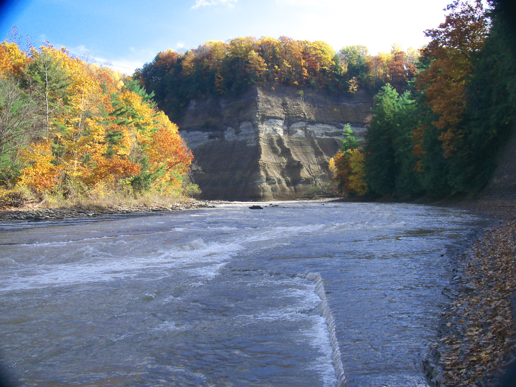
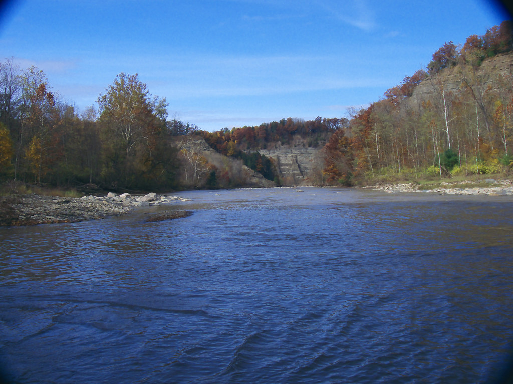
Gorge View
Pasture DSC_0001
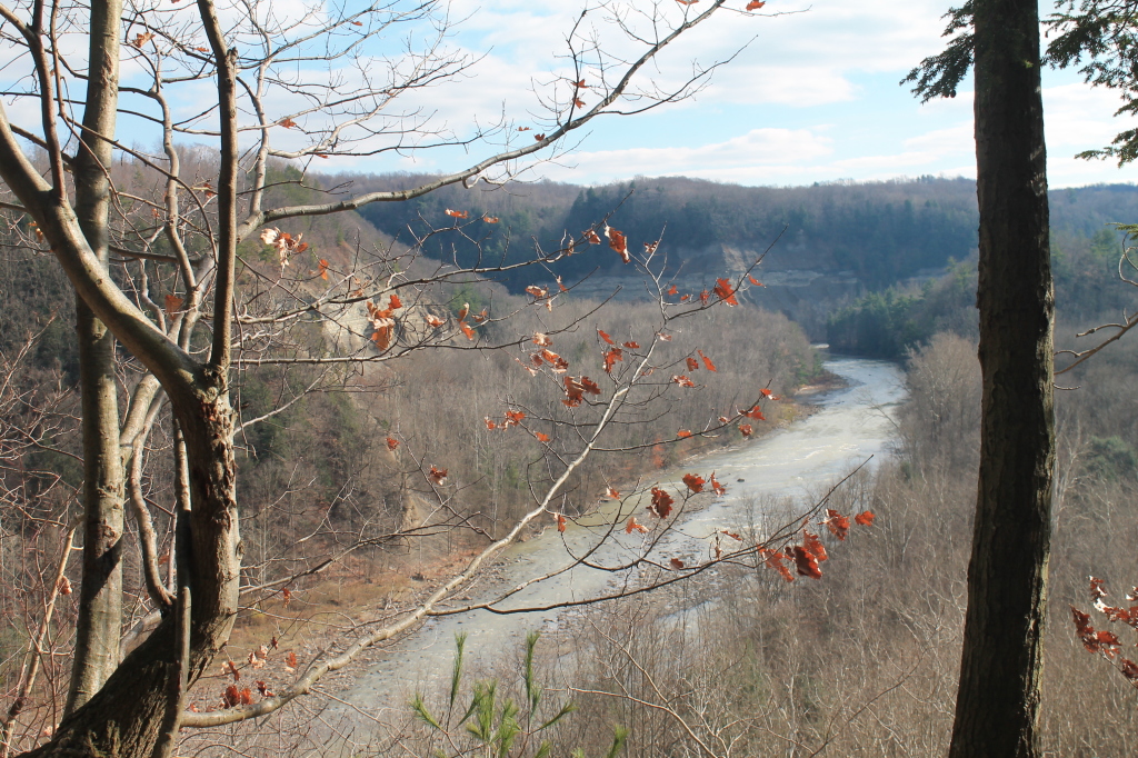
Small View Into the Gorge

A bird's eye view of NY&LE's FP's as they await the reboarding of passengers during their Halloween excursion
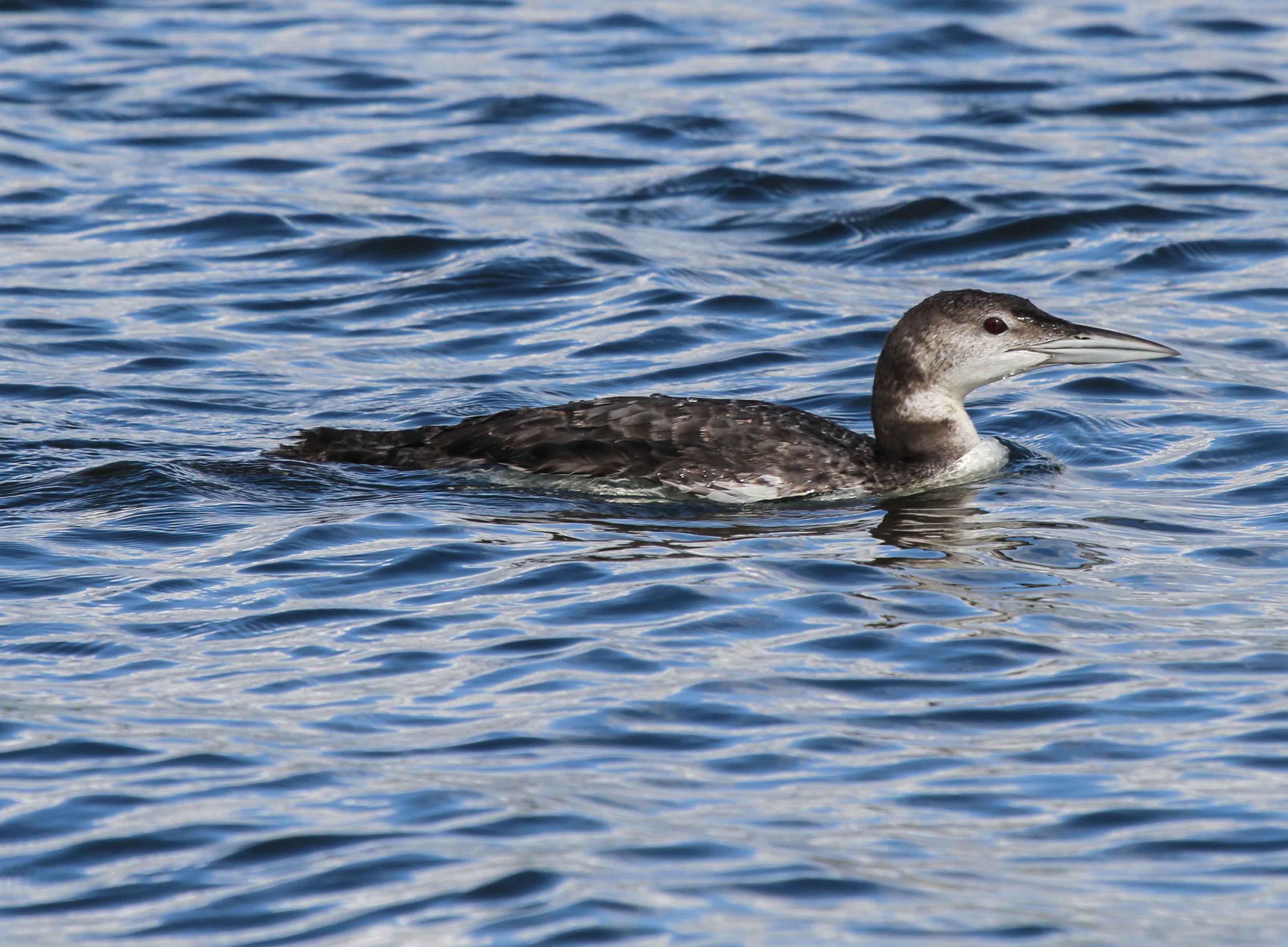
Common Loon
View from the Tip of Point Peter
PyramidRckView 103_R
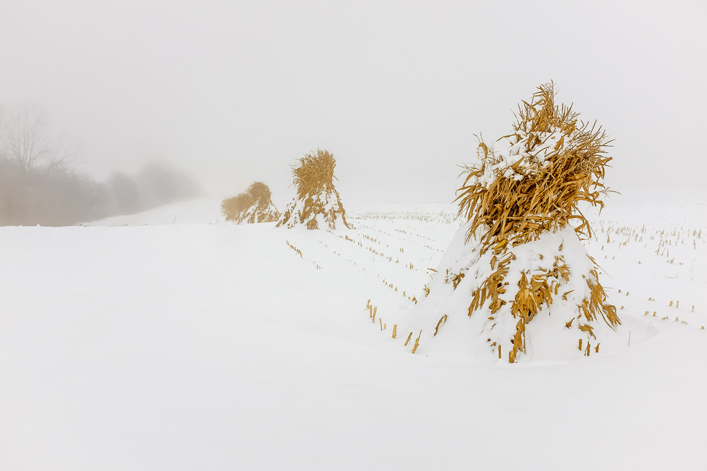
Corn Shocks is a winter field
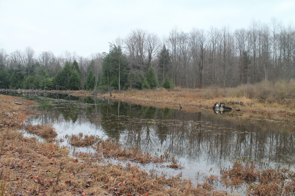
Another Pond
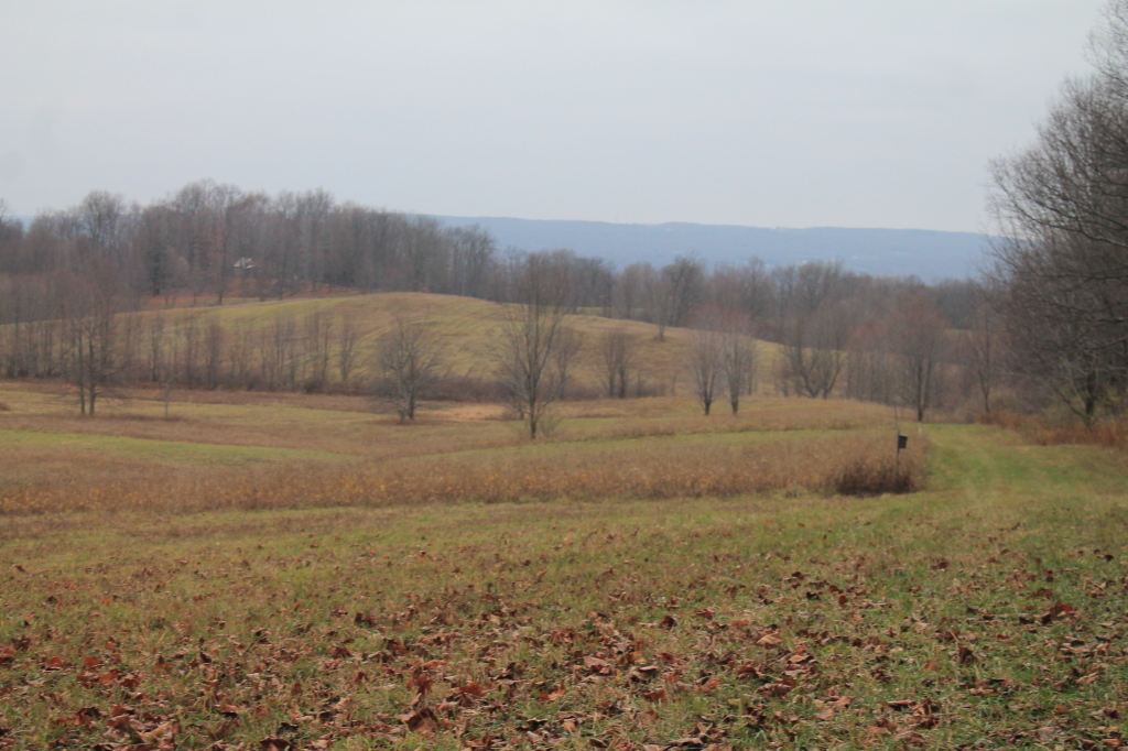
Open Space

Corn Shocks is a winter field - BW

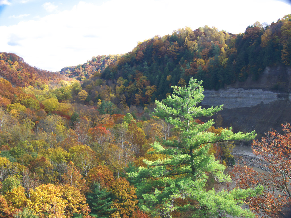
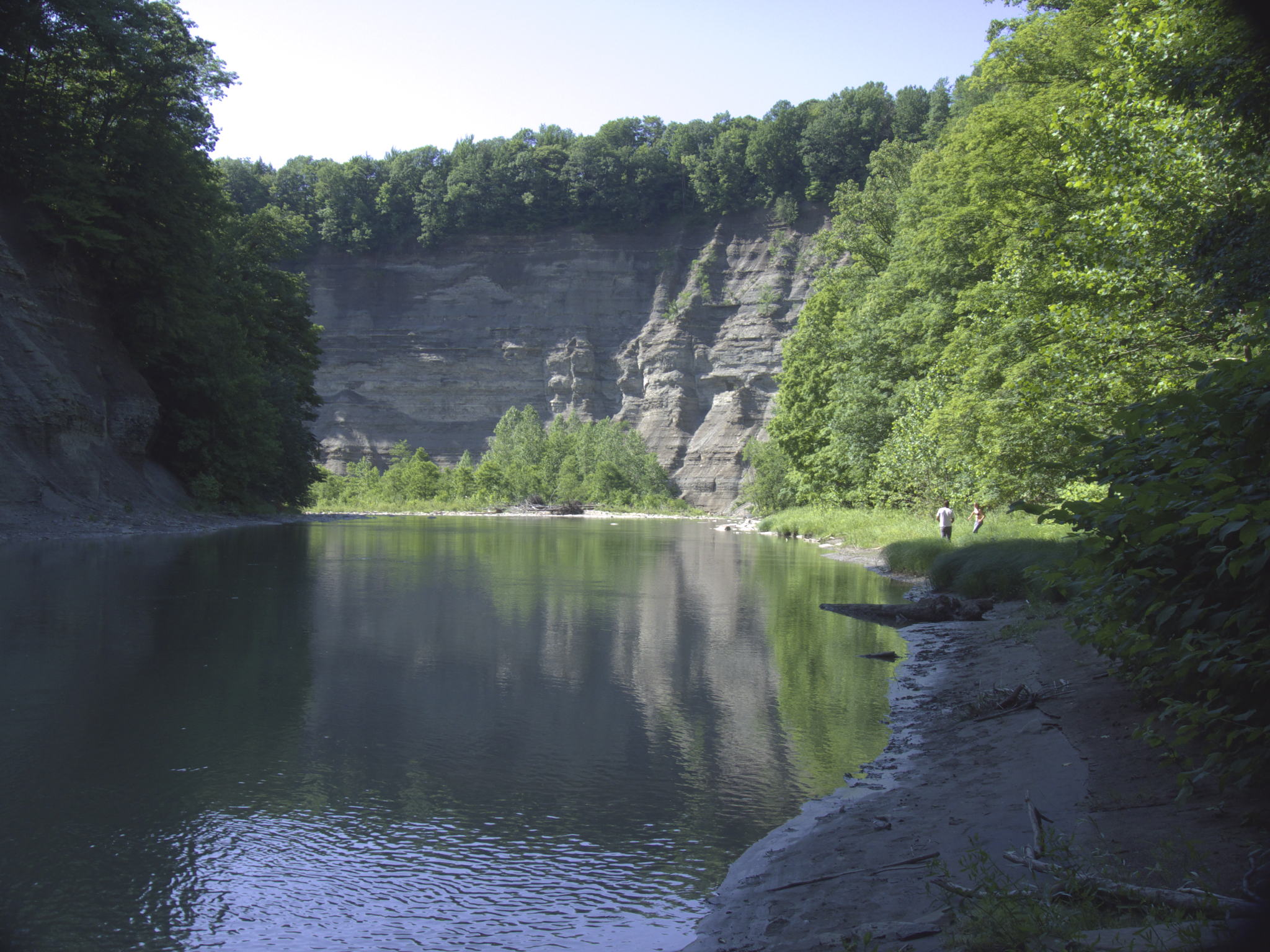
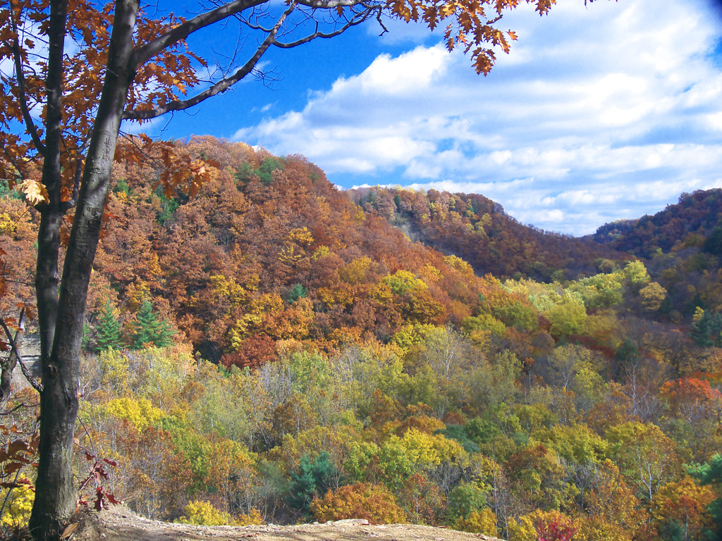
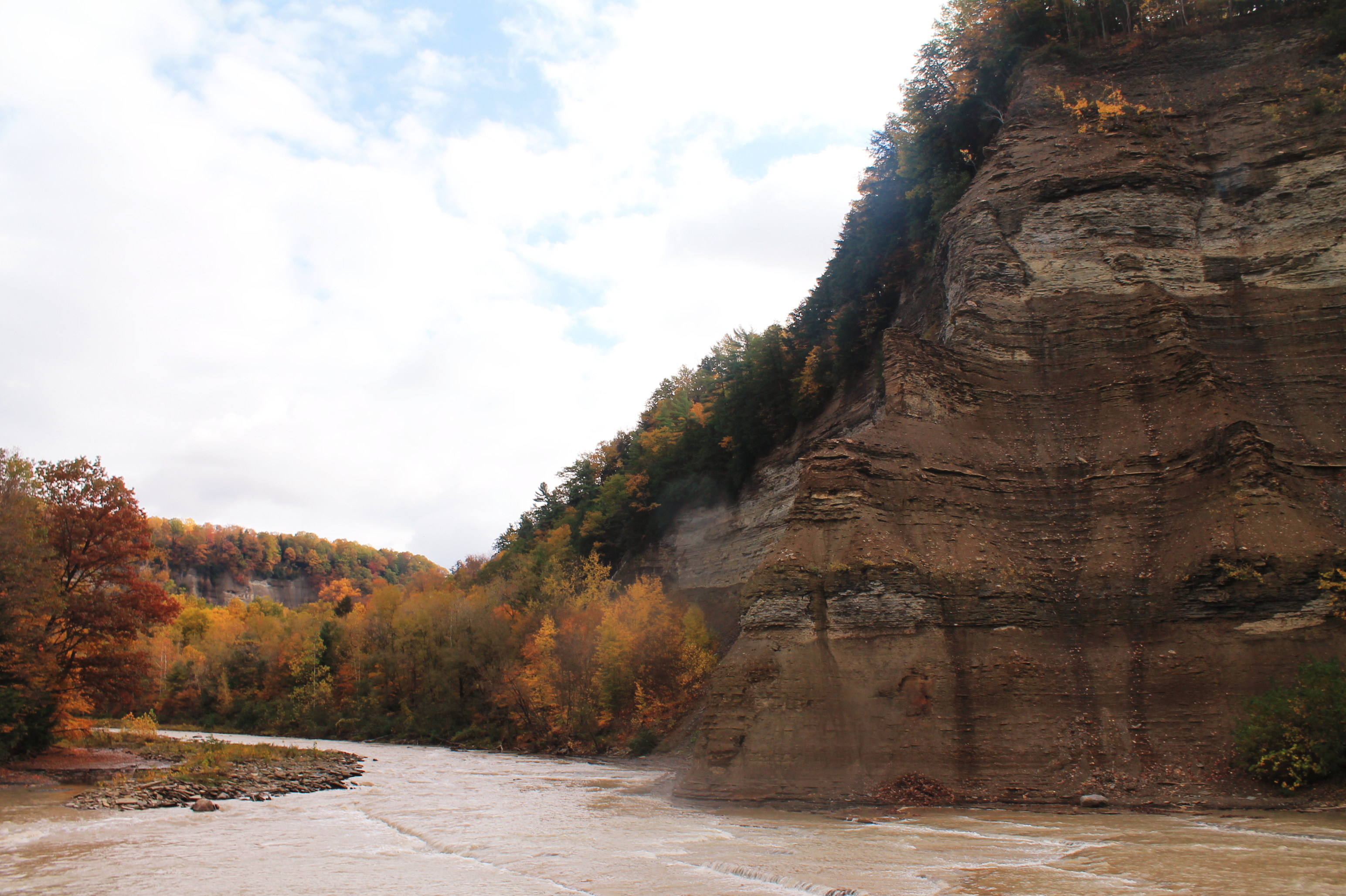
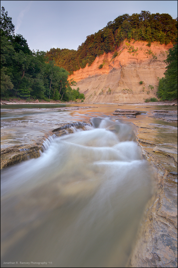
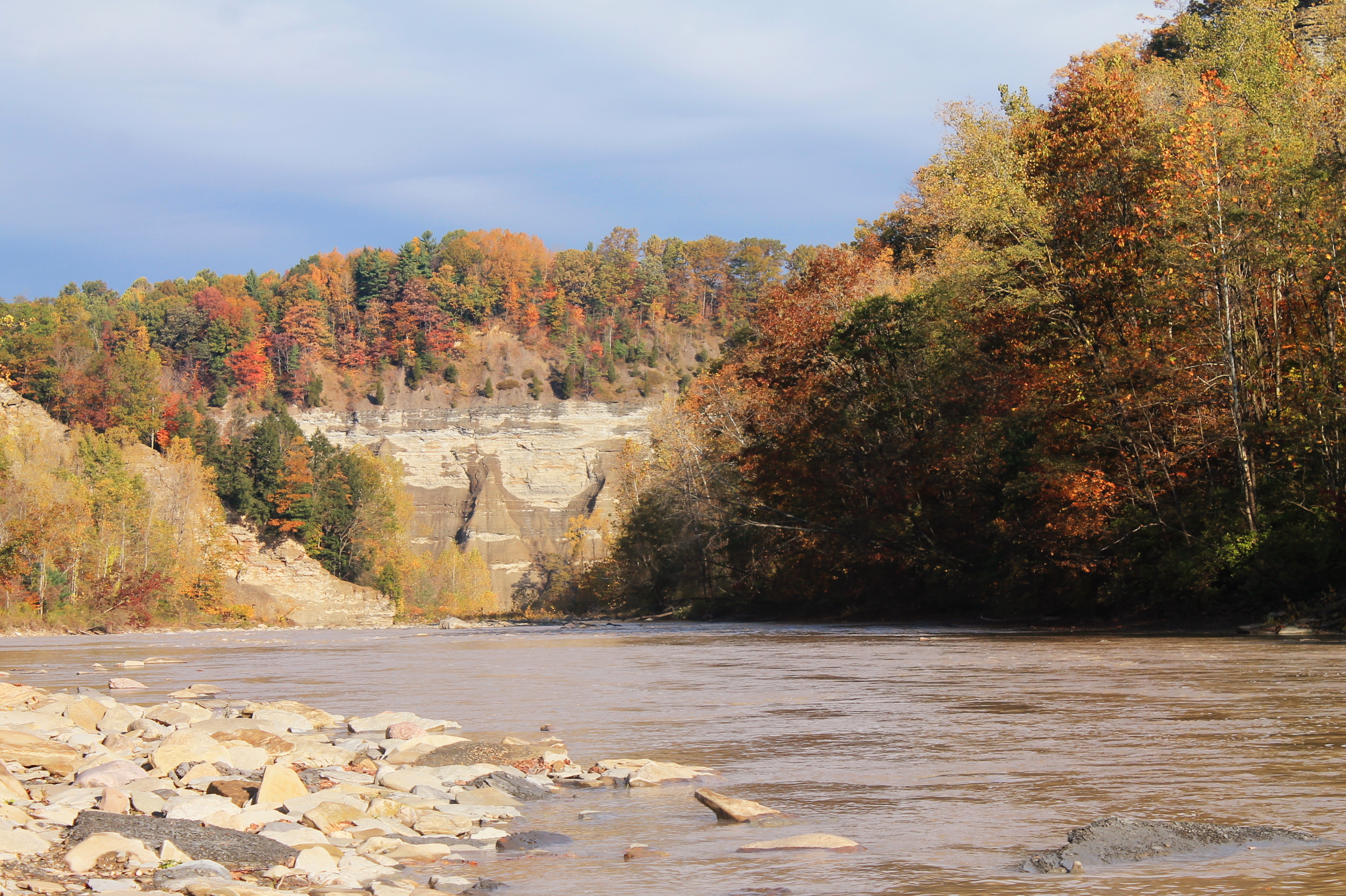
Zoar Valley
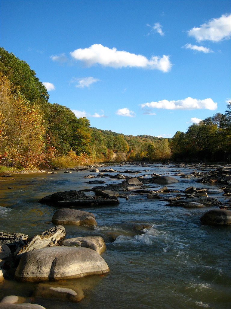
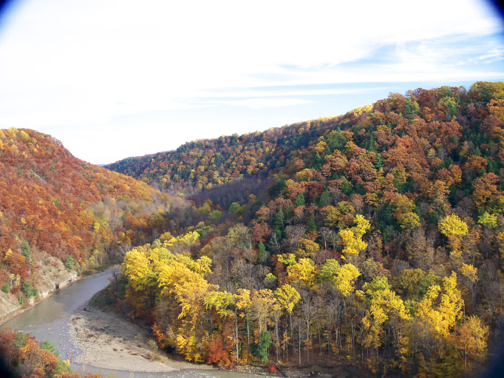
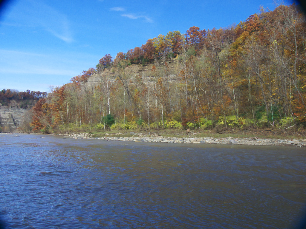
Cattauraugus Creek
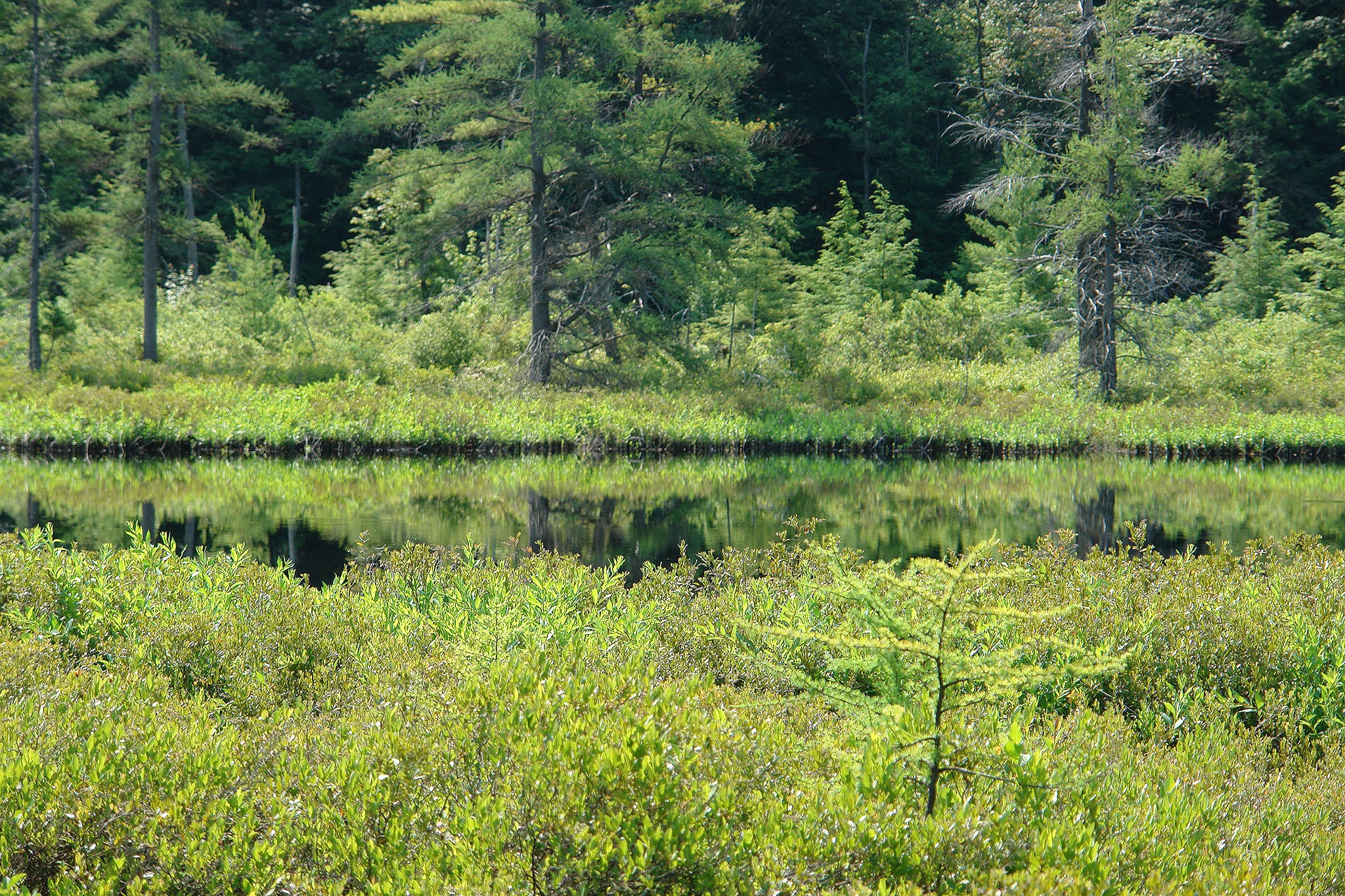
Bog-1 - 04.jpg
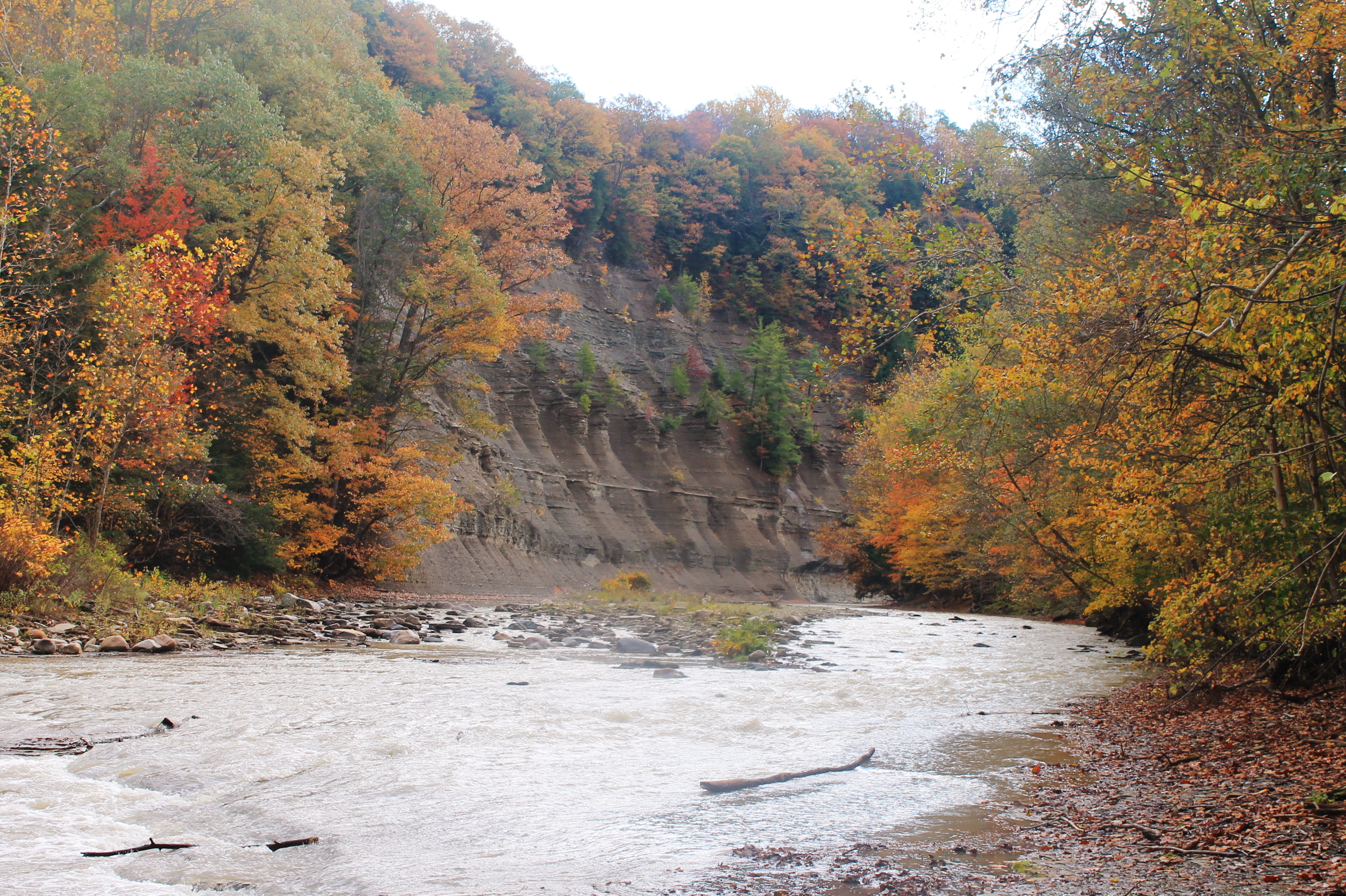
Along The South Branch
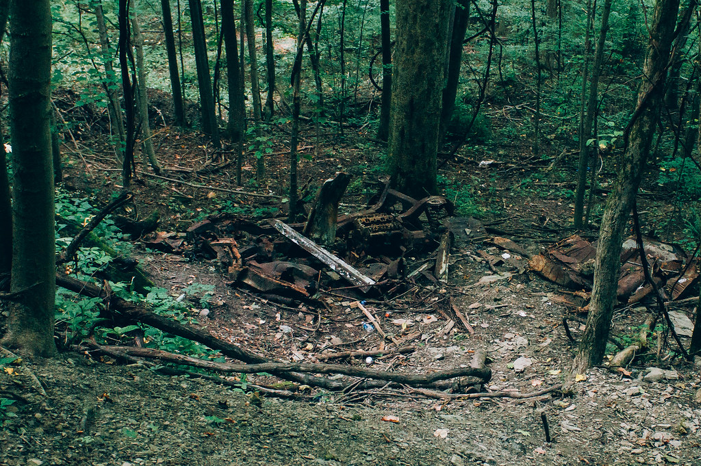
Old Car
Bog-1 - 02.jpg
Nose Where The South Branch Of Cattaragus Creek Joins The Main Branch

Gowanda, NY
Last Light at Martin's Point

Zoar Valley
Looking Back At Pinnacle Point From The River
Over or Under
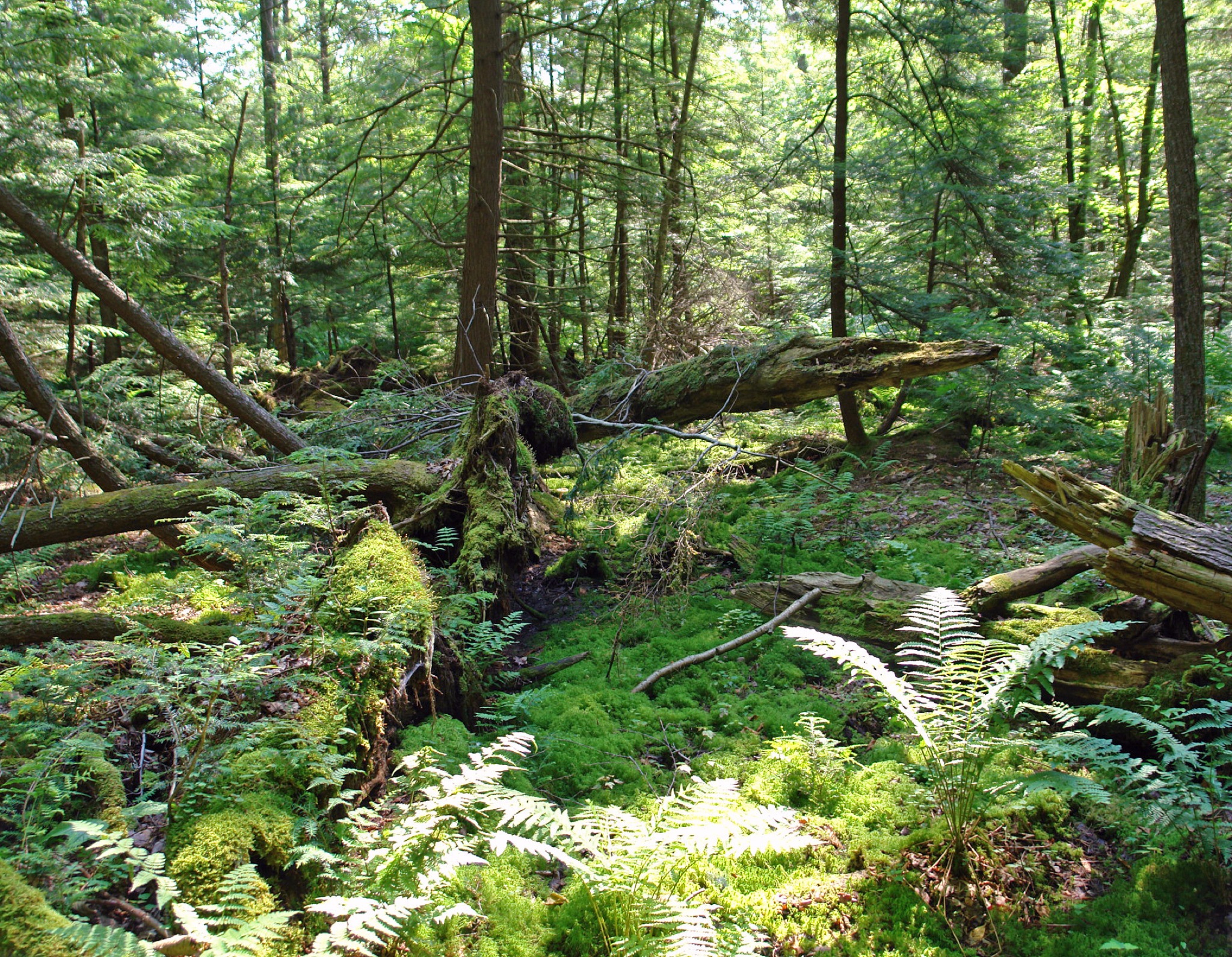
Bog-1 - 03.jpg
I Should Watch For Falling Rocks
DSC03300.jpg

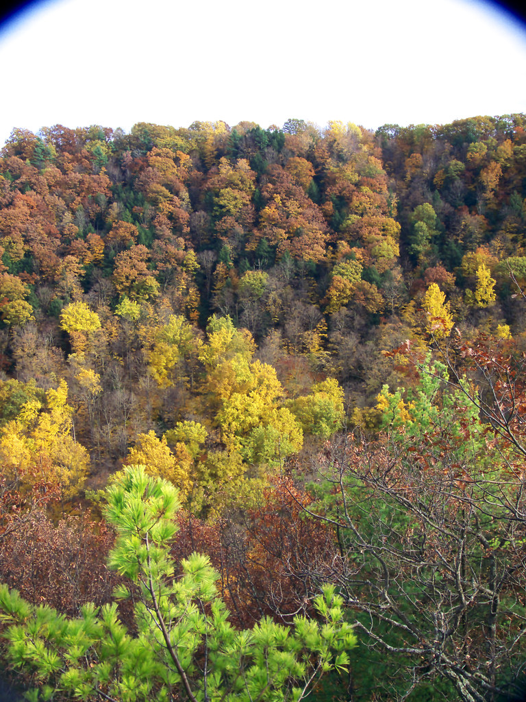
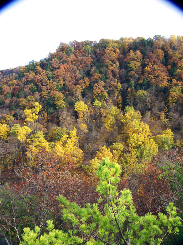
Tree Pattern
Topographic Map of Snyder Hill Rd, Cattaraugus, NY, USA
Find elevation by address:

Places near Snyder Hill Rd, Cattaraugus, NY, USA:
7948 Snyder Hill Rd
7948 Snyder Hill Rd
NY-, Gowanda, NY, USA
Mosher Hollow Rd, Cattaraugus, NY, USA
New Albion
Cattaraugus
6991 Ny-353
Leon Rd, Cattaraugus, NY, USA
8112 Dake Hill Rd
Otto
Linlyco Lake Road
Chautauqua Rd, Conewango Valley, NY, USA
12476 Cherry Creek Hill Rd
Napoli
11311 Pope Rd
9498 Ny-242
Little Valley
W Rd, Conewango Valley, NY, USA
Meyers Rd, Conewango Valley, NY, USA
Conewango
Recent Searches:
- Elevation of Woodland Oak Pl, Thousand Oaks, CA, USA
- Elevation of Brownsdale Rd, Renfrew, PA, USA
- Elevation of Corcoran Ln, Suffolk, VA, USA
- Elevation of Mamala II, Sariaya, Quezon, Philippines
- Elevation of Sarangdanda, Nepal
- Elevation of 7 Waterfall Way, Tomball, TX, USA
- Elevation of SW 57th Ave, Portland, OR, USA
- Elevation of Crocker Dr, Vacaville, CA, USA
- Elevation of Pu Ngaol Community Meeting Hall, HWHM+3X7, Krong Saen Monourom, Cambodia
- Elevation of Royal Ontario Museum, Queens Park, Toronto, ON M5S 2C6, Canada