Elevation of Conewango, NY, USA
Location: United States > New York > Cattaraugus County >
Longitude: -78.996688
Latitude: 42.1976908
Elevation: 390m / 1280feet
Barometric Pressure: 97KPa
Elevation Map:
Satellite Map:
Related Photos:

Tundra Swan

Ruffed Grouse
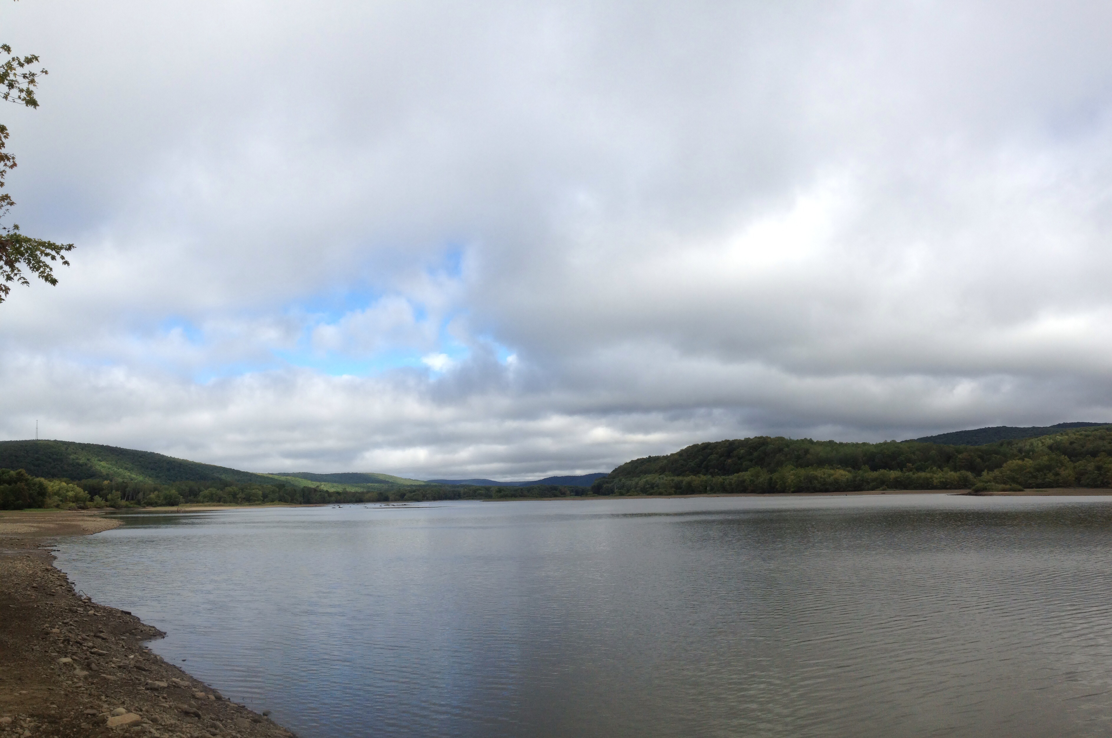
Allegany River

Old Rt. 17
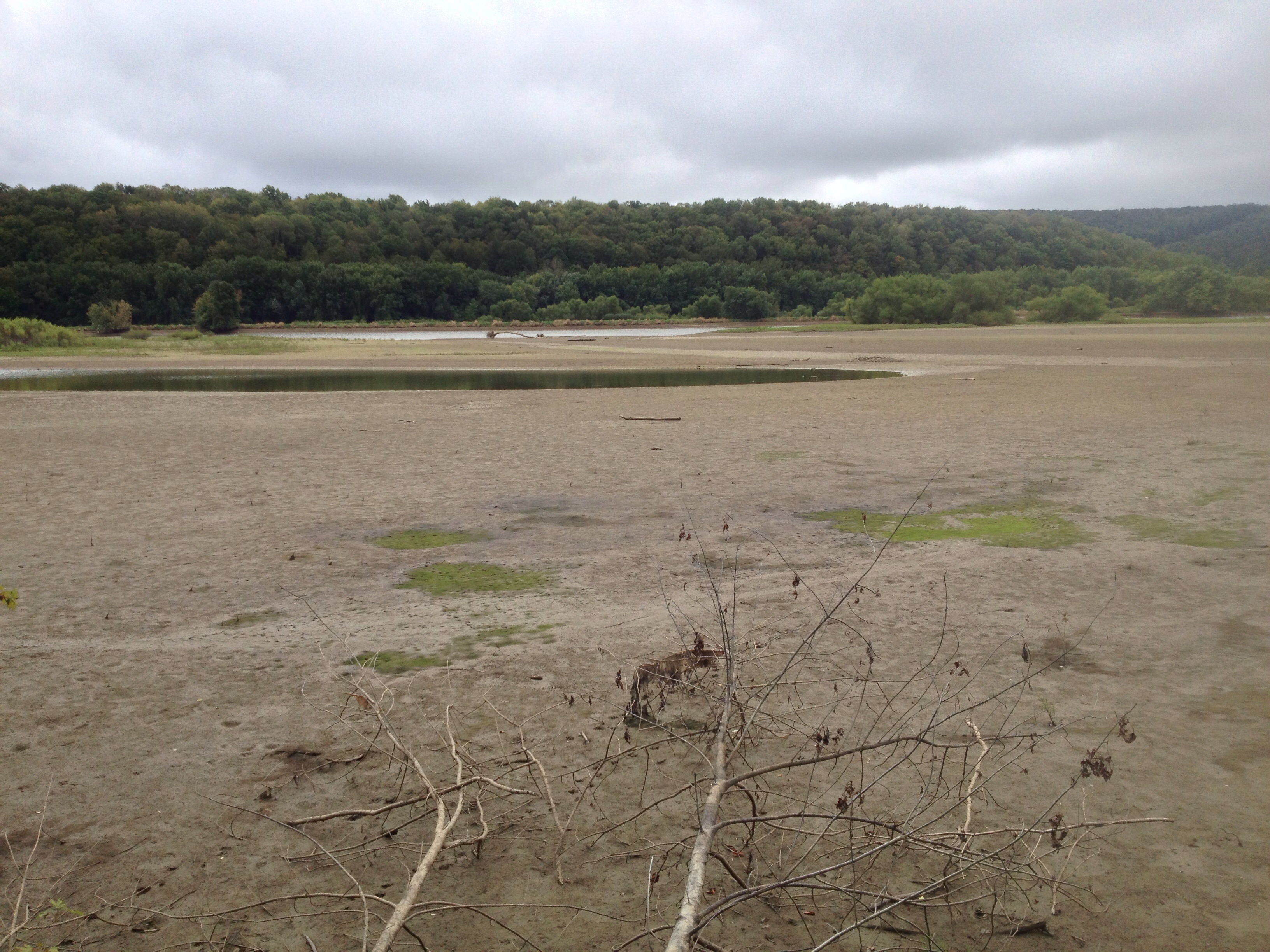
Allegany River Flats

Corn Shocks is a winter field - BW
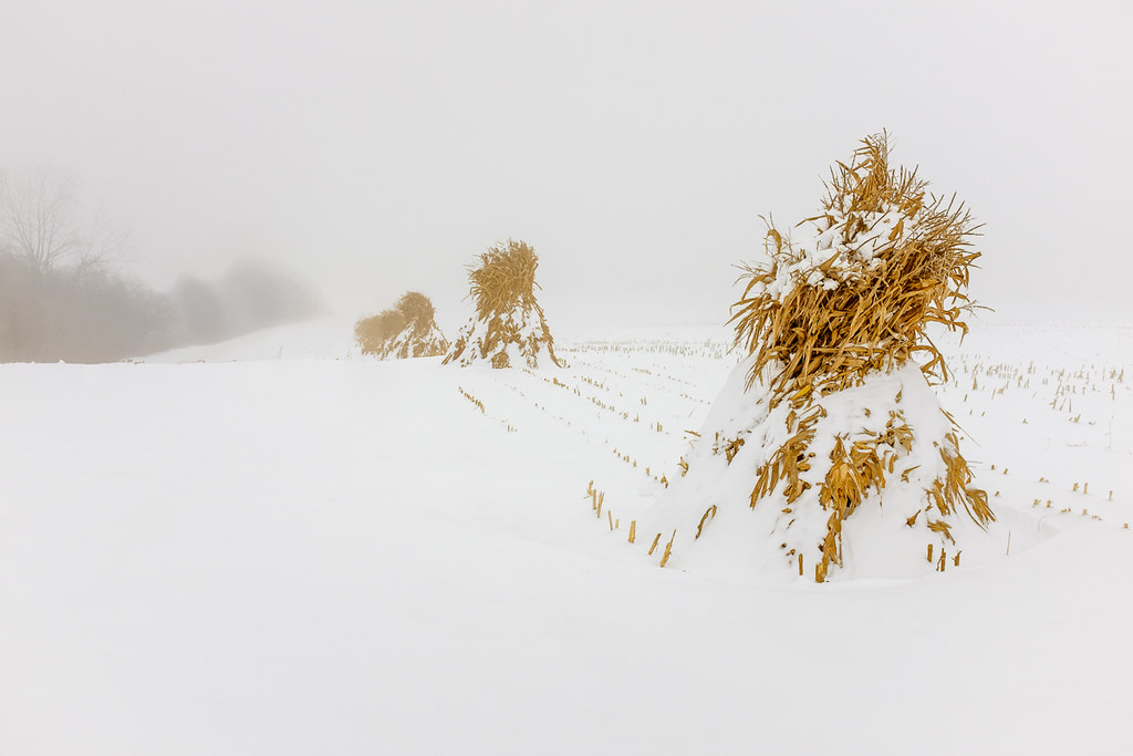
Corn Shocks is a winter field
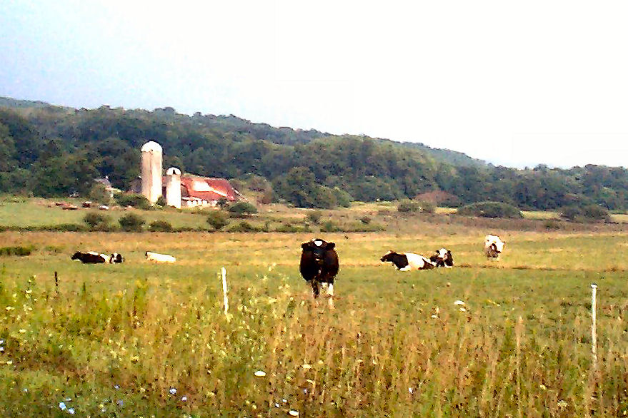
The Girls

Meadow, I-86 Westbound, New York

Interesting clouds

Rain ...
Topographic Map of Conewango, NY, USA
Find elevation by address:

Places in Conewango, NY, USA:
Places near Conewango, NY, USA:
Meyers Rd, Conewango Valley, NY, USA
11311 Pope Rd
Chautauqua Rd, Conewango Valley, NY, USA
21 Maple St, Conewango Valley, NY, USA
5405 Us-62
W Rd, Conewango Valley, NY, USA
12476 Cherry Creek Hill Rd
Napoli
Leon Rd, Cattaraugus, NY, USA
New Albion
9498 Ny-242
Mosher Hollow Rd, Cattaraugus, NY, USA
6991 Ny-353
7948 Snyder Hill Rd
7948 Snyder Hill Rd
7948 Snyder Hill Rd
NY-, Gowanda, NY, USA
Linlyco Lake Road
Cattaraugus
Little Valley
Recent Searches:
- Elevation of Congressional Dr, Stevensville, MD, USA
- Elevation of Bellview Rd, McLean, VA, USA
- Elevation of Stage Island Rd, Chatham, MA, USA
- Elevation of Shibuya Scramble Crossing, 21 Udagawacho, Shibuya City, Tokyo -, Japan
- Elevation of Jadagoniai, Kaunas District Municipality, Lithuania
- Elevation of Pagonija rock, Kranto 7-oji g. 8"N, Kaunas, Lithuania
- Elevation of Co Rd 87, Jamestown, CO, USA
- Elevation of Tenjo, Cundinamarca, Colombia
- Elevation of Côte-des-Neiges, Montreal, QC H4A 3J6, Canada
- Elevation of Bobcat Dr, Helena, MT, USA