Elevation of Leon Rd, Cattaraugus, NY, USA
Location: United States > New York > Cattaraugus County > New Albion > Cattaraugus >
Longitude: -78.889788
Latitude: 42.289464
Elevation: 436m / 1430feet
Barometric Pressure: 96KPa
Elevation Map:
Satellite Map:
Related Photos:
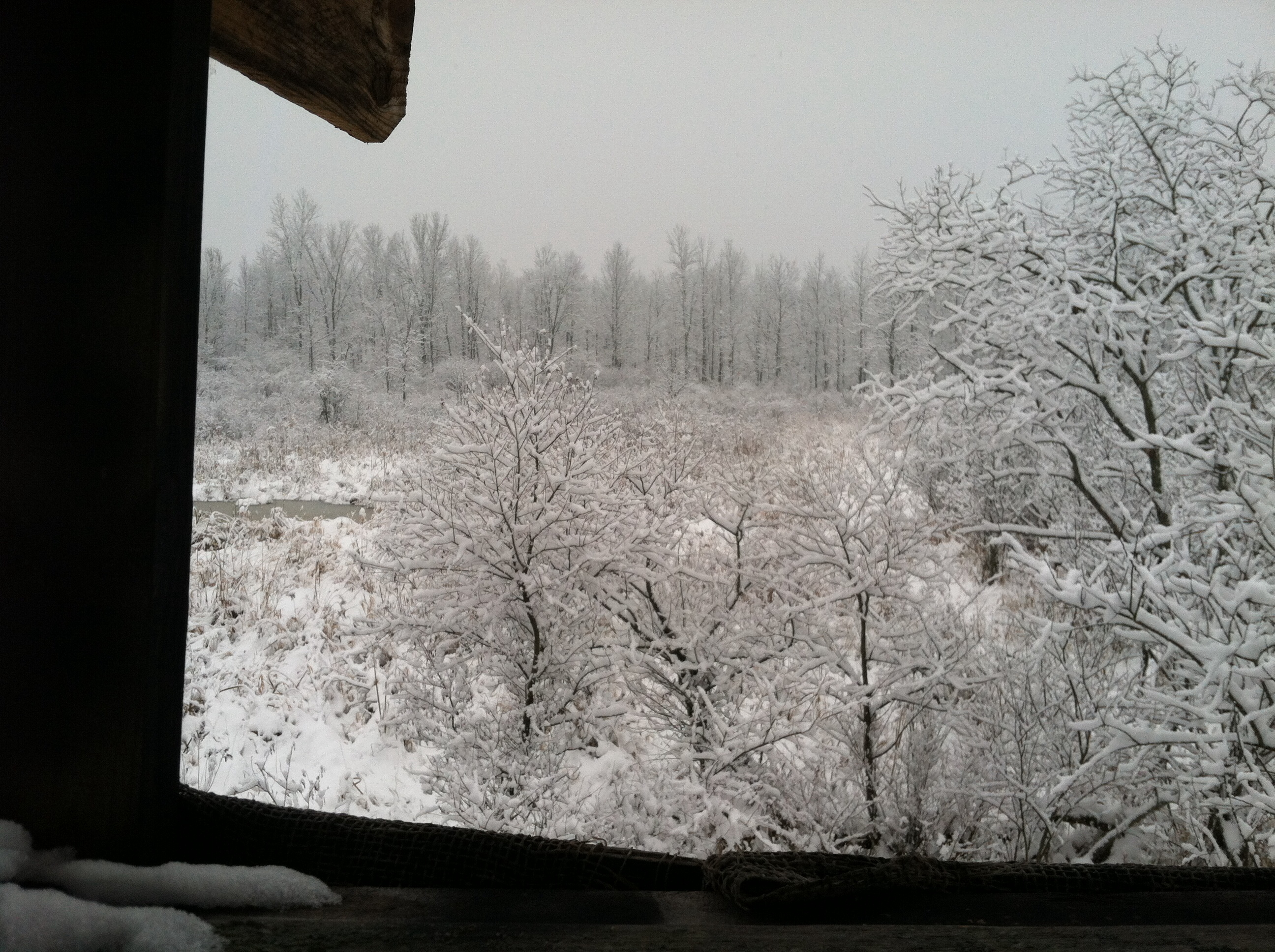
A view from my deer stand.

Tundra Swan
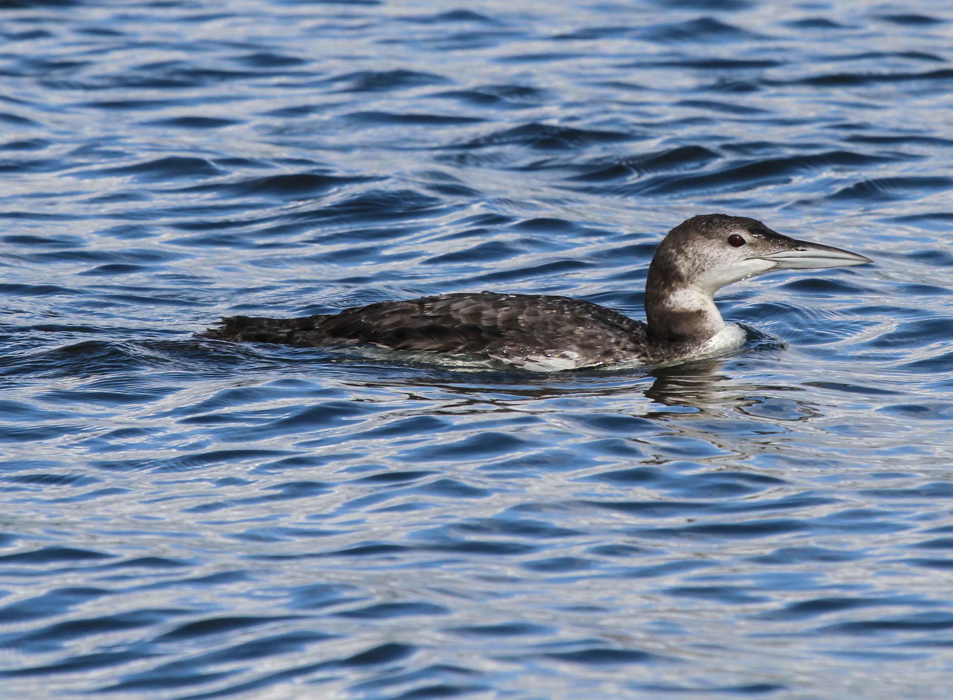
Common Loon

Ruffed Grouse

Corn Shocks is a winter field - BW
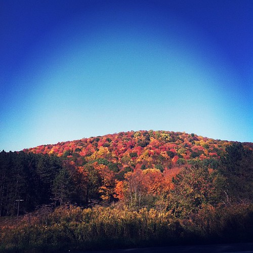
Peak color
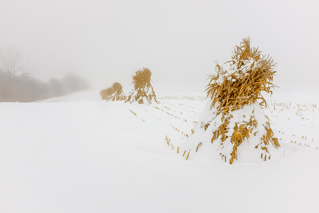
Corn Shocks is a winter field

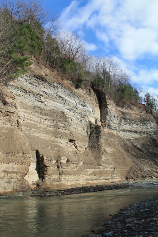
Zoar Valley

Zoar Valley

corn field sunset
Old Forty Road Ramp

Horned Lark
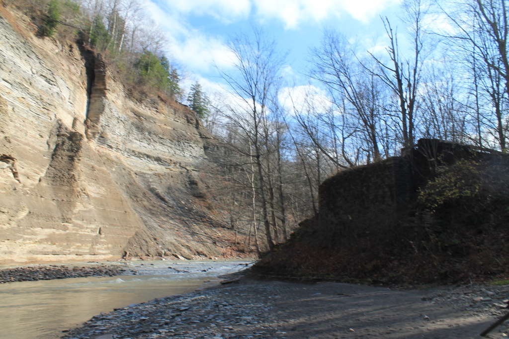
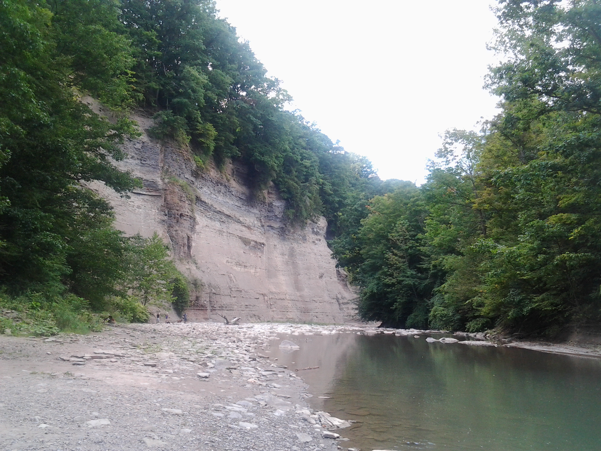
Gorge Wall
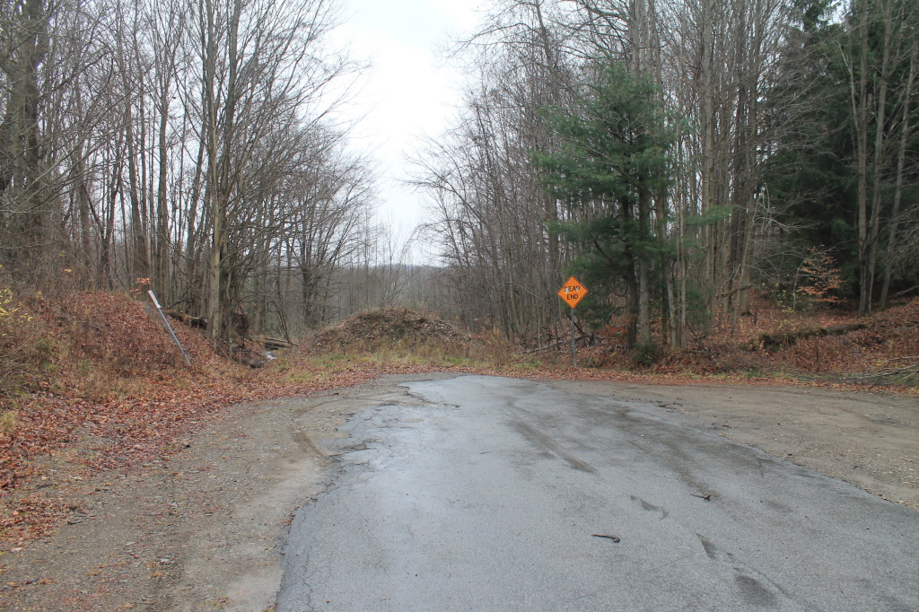
End of Forty Road
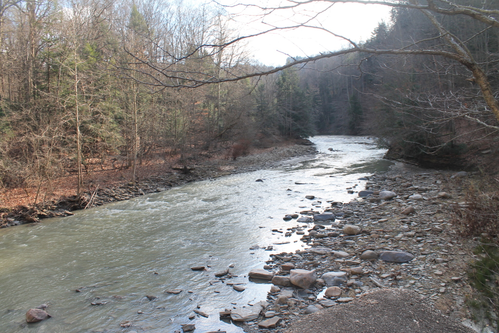
South Branch
2012-08-26 15.54.31
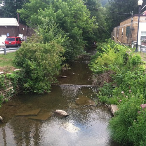
Mill Creek
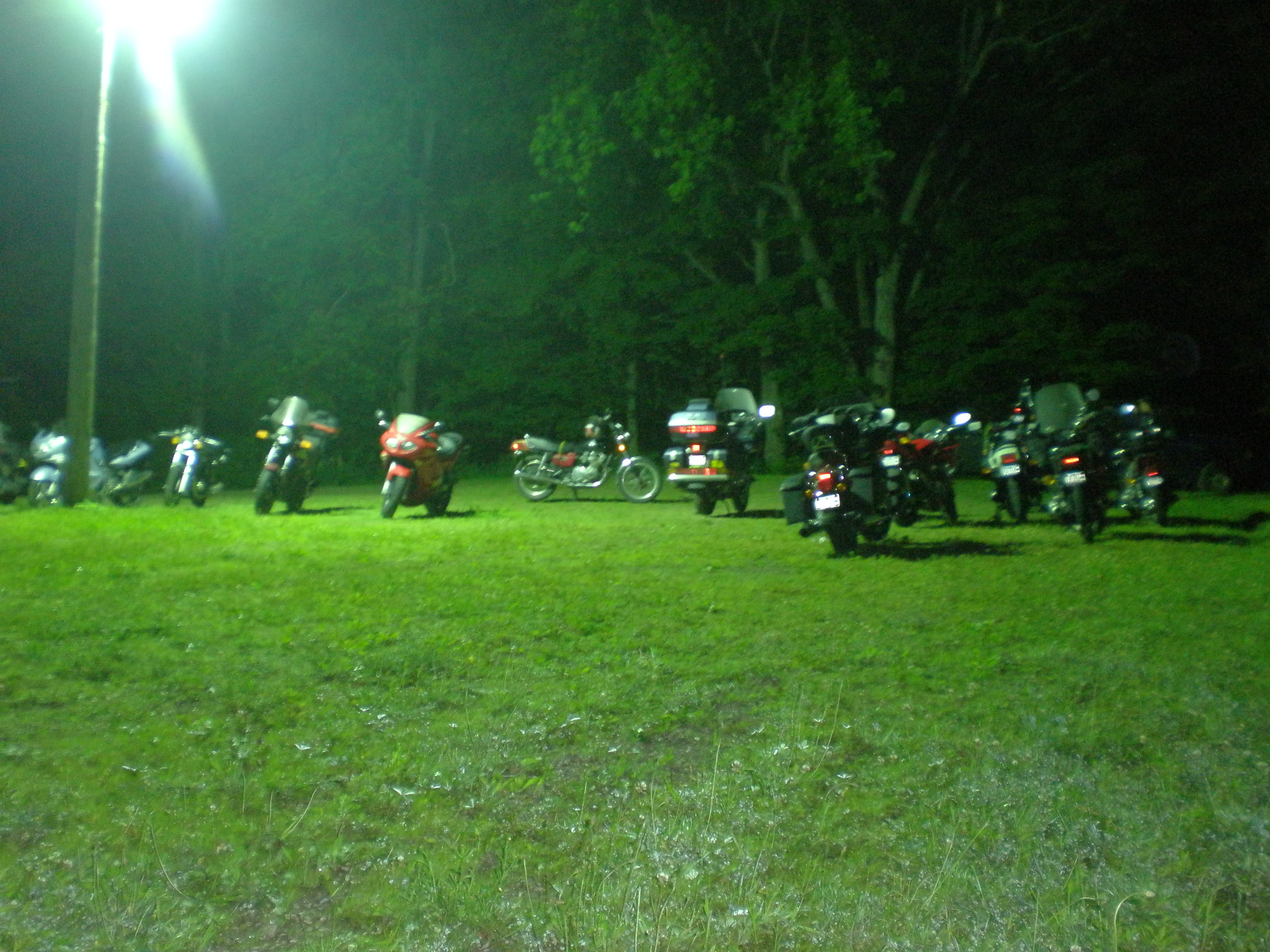
Bikes at night
Topographic Map of Leon Rd, Cattaraugus, NY, USA
Find elevation by address:

Places near Leon Rd, Cattaraugus, NY, USA:
New Albion
6991 Ny-353
Cattaraugus
Linlyco Lake Road
7948 Snyder Hill Rd
7948 Snyder Hill Rd
7948 Snyder Hill Rd
Napoli
NY-, Gowanda, NY, USA
9498 Ny-242
8112 Dake Hill Rd
Chautauqua Rd, Conewango Valley, NY, USA
Otto
Mosher Hollow Rd, Cattaraugus, NY, USA
Little Valley
11311 Pope Rd
Meyers Rd, Conewango Valley, NY, USA
12476 Cherry Creek Hill Rd
Conewango
Little Valley
Recent Searches:
- Elevation of Fern Rd, Whitmore, CA, USA
- Elevation of 62 Abbey St, Marshfield, MA, USA
- Elevation of Fernwood, Bradenton, FL, USA
- Elevation of Felindre, Swansea SA5 7LU, UK
- Elevation of Leyte Industrial Development Estate, Isabel, Leyte, Philippines
- Elevation of W Granada St, Tampa, FL, USA
- Elevation of Pykes Down, Ivybridge PL21 0BY, UK
- Elevation of Jalan Senandin, Lutong, Miri, Sarawak, Malaysia
- Elevation of Bilohirs'k
- Elevation of 30 Oak Lawn Dr, Barkhamsted, CT, USA