Elevation of W Rd, Conewango Valley, NY, USA
Location: United States > New York > Cattaraugus County >
Longitude: -79.044692
Latitude: 42.270743
Elevation: 399m / 1309feet
Barometric Pressure: 97KPa
Elevation Map:
Satellite Map:
Related Photos:

Tundra Swan

Ruffed Grouse

A bird's eye view of NY&LE's FP's as they await the reboarding of passengers during their Halloween excursion
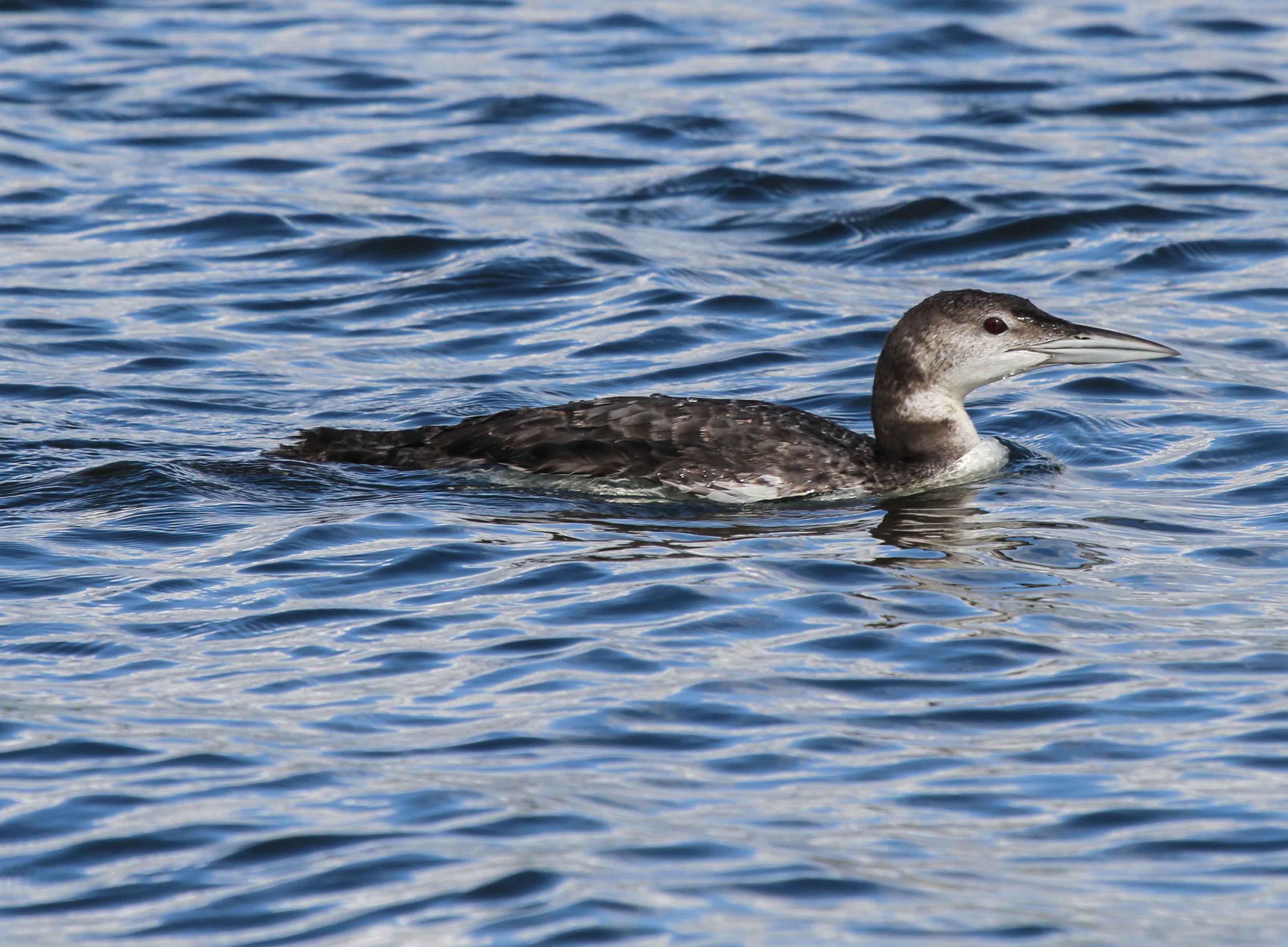
Common Loon
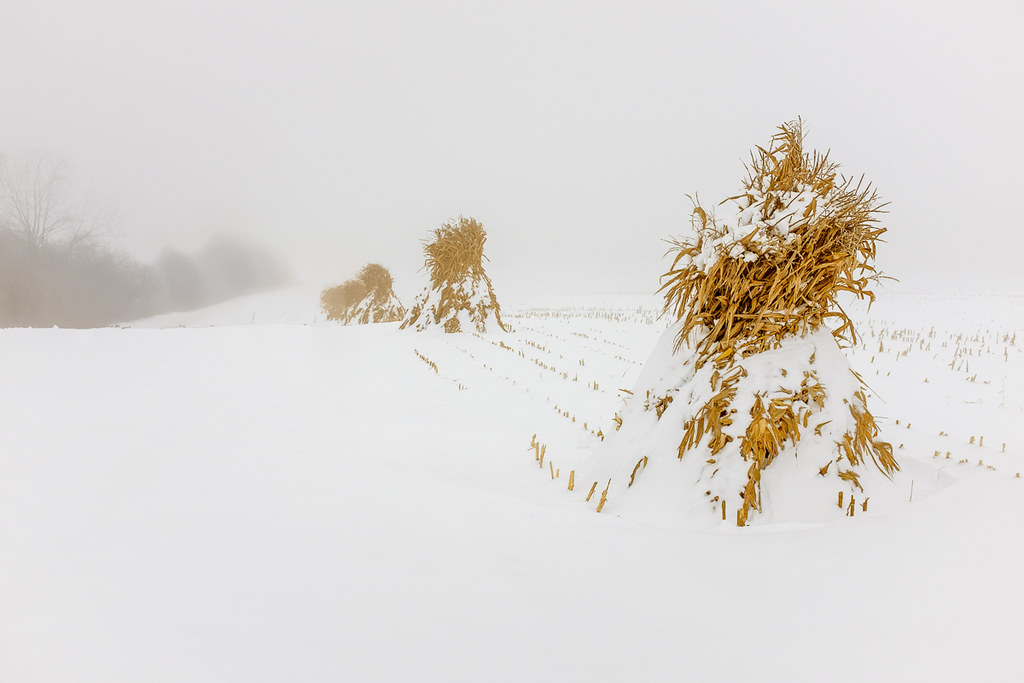
Corn Shocks is a winter field

Corn Shocks is a winter field - BW

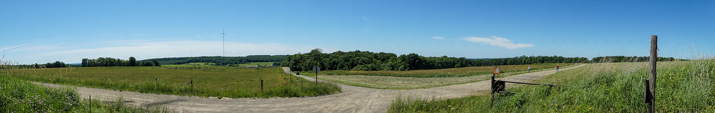
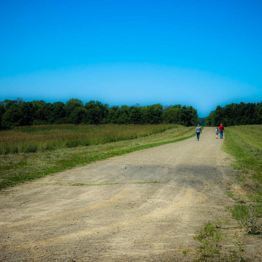
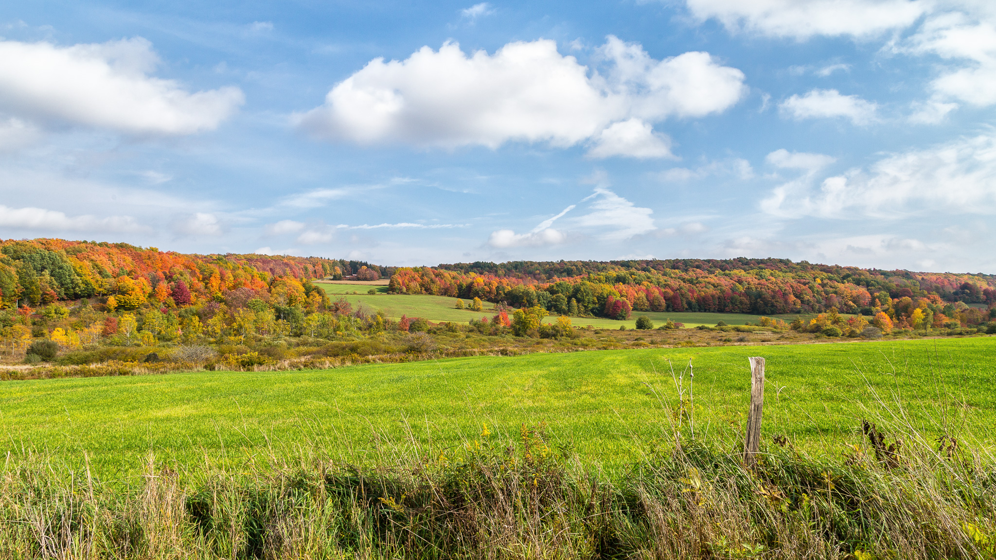
Meadow, I-86 Westbound, New York
Top of the world

Interesting clouds
Left for dead
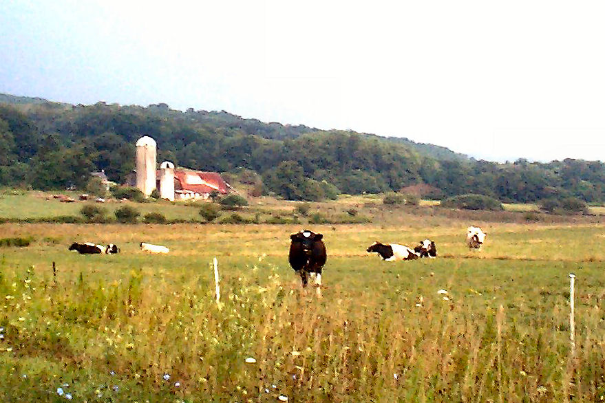
The Girls

Rain ...
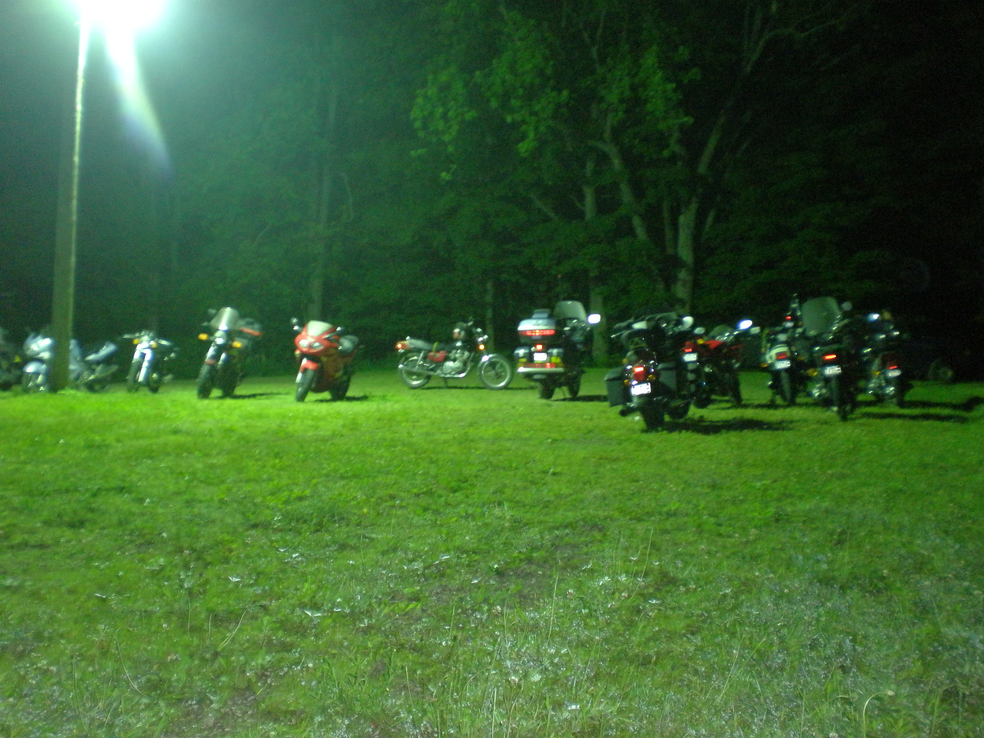
Bikes at night
Fields of gold

Horned Lark
Topographic Map of W Rd, Conewango Valley, NY, USA
Find elevation by address:

Places near W Rd, Conewango Valley, NY, USA:
12476 Cherry Creek Hill Rd
21 Maple St, Conewango Valley, NY, USA
5405 Us-62
Meyers Rd, Conewango Valley, NY, USA
Conewango
Chautauqua Rd, Conewango Valley, NY, USA
11311 Pope Rd
Mosher Hollow Rd, Cattaraugus, NY, USA
New Albion
7948 Snyder Hill Rd
7948 Snyder Hill Rd
7948 Snyder Hill Rd
Leon Rd, Cattaraugus, NY, USA
NY-, Gowanda, NY, USA
6991 Ny-353
Cattaraugus
Napoli
9498 Ny-242
Linlyco Lake Road
8112 Dake Hill Rd
Recent Searches:
- Elevation of Congressional Dr, Stevensville, MD, USA
- Elevation of Bellview Rd, McLean, VA, USA
- Elevation of Stage Island Rd, Chatham, MA, USA
- Elevation of Shibuya Scramble Crossing, 21 Udagawacho, Shibuya City, Tokyo -, Japan
- Elevation of Jadagoniai, Kaunas District Municipality, Lithuania
- Elevation of Pagonija rock, Kranto 7-oji g. 8"N, Kaunas, Lithuania
- Elevation of Co Rd 87, Jamestown, CO, USA
- Elevation of Tenjo, Cundinamarca, Colombia
- Elevation of Côte-des-Neiges, Montreal, QC H4A 3J6, Canada
- Elevation of Bobcat Dr, Helena, MT, USA