Elevation of Meyers Rd, Conewango Valley, NY, USA
Location: United States > New York > Cattaraugus County >
Longitude: -79.004771
Latitude: 42.209979
Elevation: 412m / 1352feet
Barometric Pressure: 96KPa
Elevation Map:
Satellite Map:
Related Photos:

Ruffed Grouse

Tundra Swan

Meadow, I-86 Westbound, New York

Corn Shocks is a winter field - BW
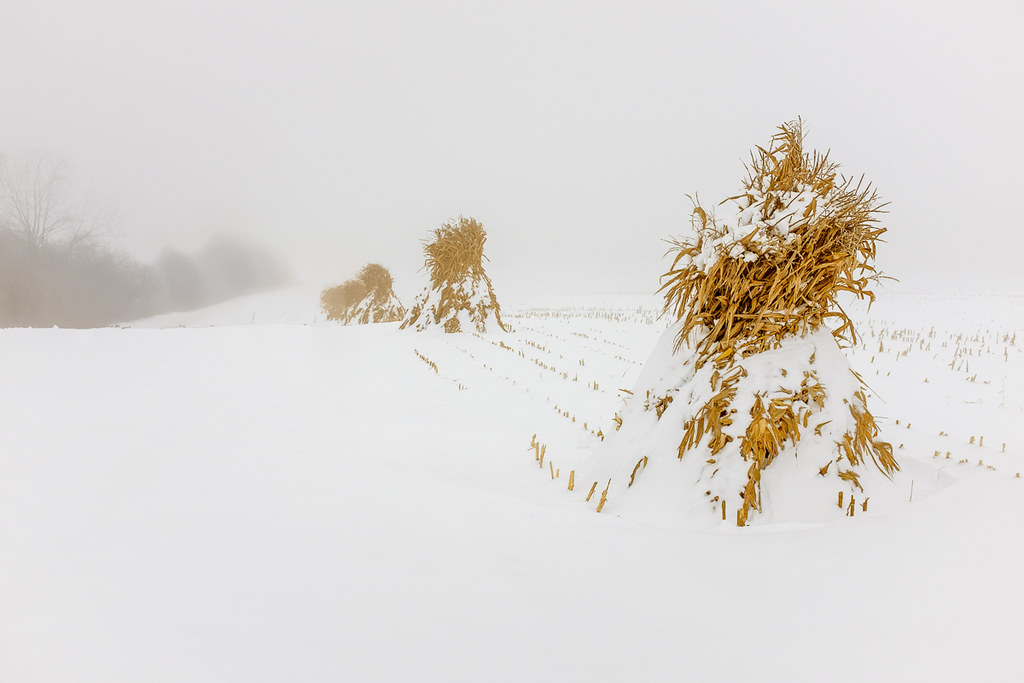
Corn Shocks is a winter field
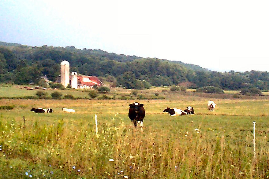
The Girls

Interesting clouds

Rain ...
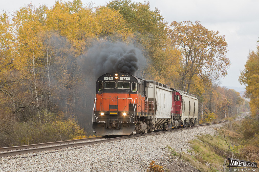
More distinctive Alco byproduct
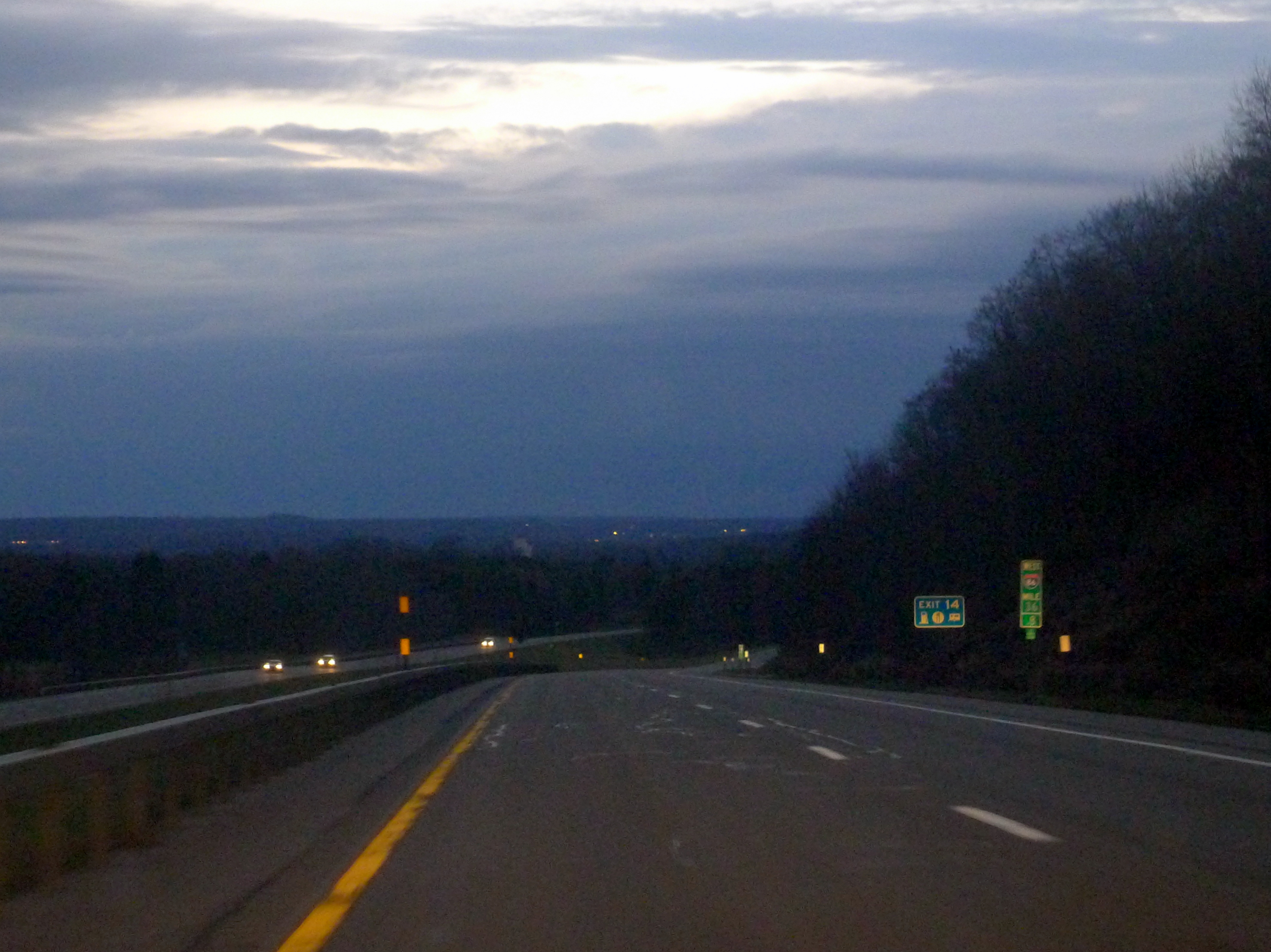
Faint lights of Jamestown from I-86
photo (15)
photo (13)
photo (14)
Topographic Map of Meyers Rd, Conewango Valley, NY, USA
Find elevation by address:

Places near Meyers Rd, Conewango Valley, NY, USA:
Conewango
11311 Pope Rd
Chautauqua Rd, Conewango Valley, NY, USA
21 Maple St, Conewango Valley, NY, USA
5405 Us-62
W Rd, Conewango Valley, NY, USA
12476 Cherry Creek Hill Rd
New Albion
Leon Rd, Cattaraugus, NY, USA
Napoli
Mosher Hollow Rd, Cattaraugus, NY, USA
9498 Ny-242
6991 Ny-353
7948 Snyder Hill Rd
7948 Snyder Hill Rd
7948 Snyder Hill Rd
NY-, Gowanda, NY, USA
Cattaraugus
Linlyco Lake Road
Little Valley
Recent Searches:
- Elevation of Corso Fratelli Cairoli, 35, Macerata MC, Italy
- Elevation of Tallevast Rd, Sarasota, FL, USA
- Elevation of 4th St E, Sonoma, CA, USA
- Elevation of Black Hollow Rd, Pennsdale, PA, USA
- Elevation of Oakland Ave, Williamsport, PA, USA
- Elevation of Pedrógão Grande, Portugal
- Elevation of Klee Dr, Martinsburg, WV, USA
- Elevation of Via Roma, Pieranica CR, Italy
- Elevation of Tavkvetili Mountain, Georgia
- Elevation of Hartfords Bluff Cir, Mt Pleasant, SC, USA