Elevation of Chautauqua Rd, Conewango Valley, NY, USA
Location: United States > New York > Cattaraugus County > Conewango >
Longitude: -78.958826
Latitude: 42.249607
Elevation: 518m / 1699feet
Barometric Pressure: 95KPa
Elevation Map:
Satellite Map:
Related Photos:

Tundra Swan
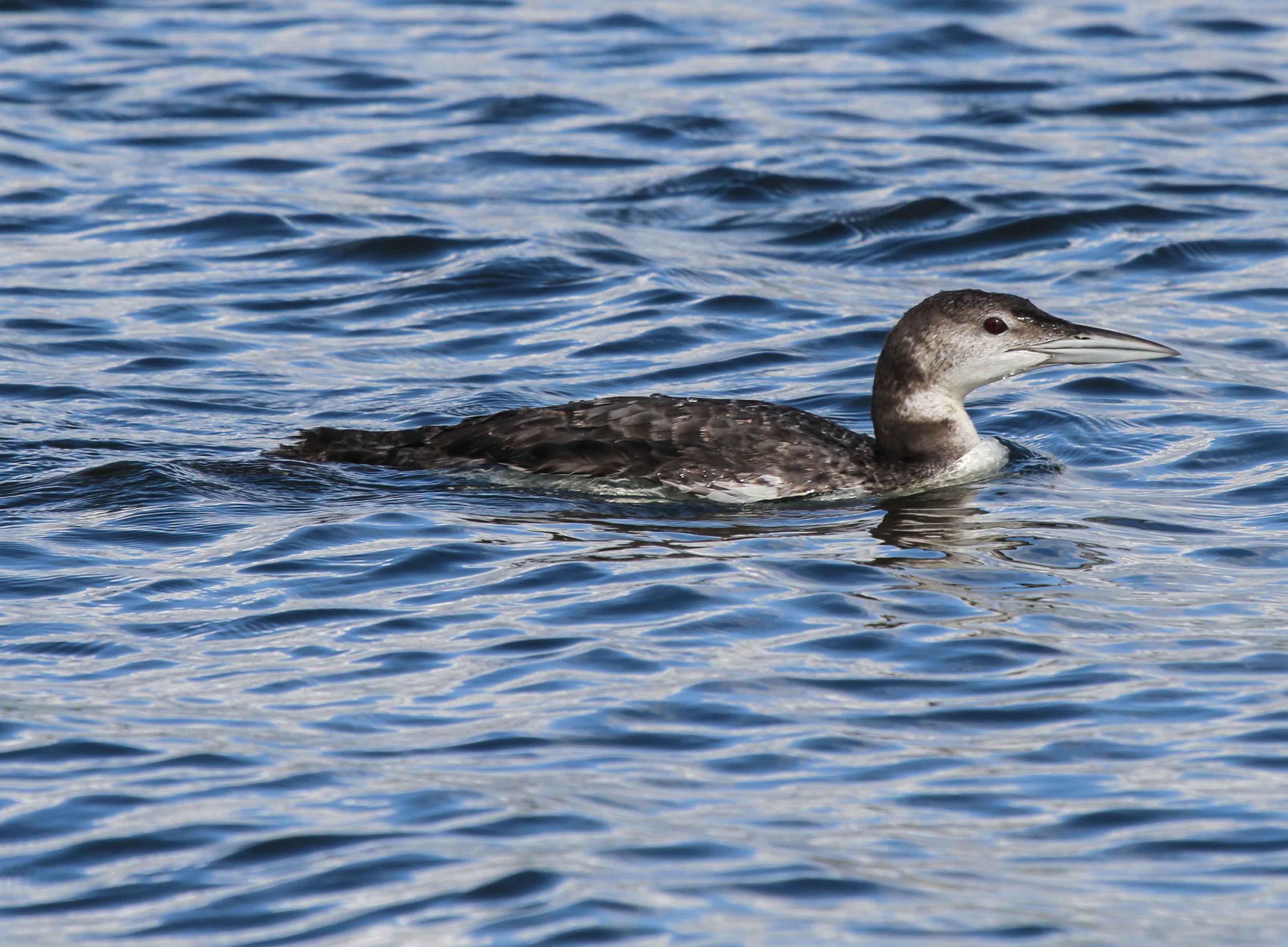
Common Loon

Ruffed Grouse

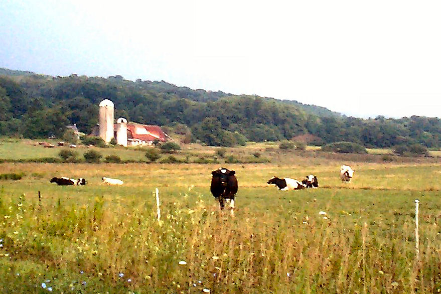
Meadow, I-86 Westbound, New York

Corn Shocks is a winter field - BW
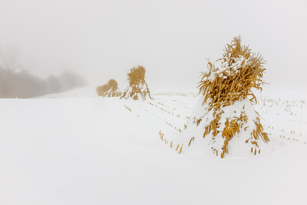
Corn Shocks is a winter field
The Girls

Interesting clouds

Horned Lark

Rain ...
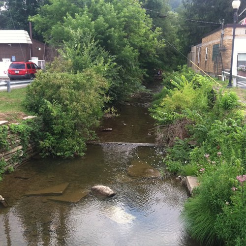
Mill Creek
Bikes at night
Topographic Map of Chautauqua Rd, Conewango Valley, NY, USA
Find elevation by address:

Places near Chautauqua Rd, Conewango Valley, NY, USA:
11311 Pope Rd
Meyers Rd, Conewango Valley, NY, USA
Conewango
New Albion
Leon Rd, Cattaraugus, NY, USA
12476 Cherry Creek Hill Rd
W Rd, Conewango Valley, NY, USA
Mosher Hollow Rd, Cattaraugus, NY, USA
Napoli
21 Maple St, Conewango Valley, NY, USA
6991 Ny-353
9498 Ny-242
5405 Us-62
7948 Snyder Hill Rd
7948 Snyder Hill Rd
7948 Snyder Hill Rd
NY-, Gowanda, NY, USA
Cattaraugus
Linlyco Lake Road
Little Valley
Recent Searches:
- Elevation of Woodland Oak Pl, Thousand Oaks, CA, USA
- Elevation of Brownsdale Rd, Renfrew, PA, USA
- Elevation of Corcoran Ln, Suffolk, VA, USA
- Elevation of Mamala II, Sariaya, Quezon, Philippines
- Elevation of Sarangdanda, Nepal
- Elevation of 7 Waterfall Way, Tomball, TX, USA
- Elevation of SW 57th Ave, Portland, OR, USA
- Elevation of Crocker Dr, Vacaville, CA, USA
- Elevation of Pu Ngaol Community Meeting Hall, HWHM+3X7, Krong Saen Monourom, Cambodia
- Elevation of Royal Ontario Museum, Queens Park, Toronto, ON M5S 2C6, Canada