Elevation of Persia, NY, USA
Location: United States > New York > Cattaraugus County >
Longitude: -78.917508
Latitude: 42.3944809
Elevation: 444m / 1457feet
Barometric Pressure: 96KPa
Elevation Map:
Satellite Map:
Related Photos:
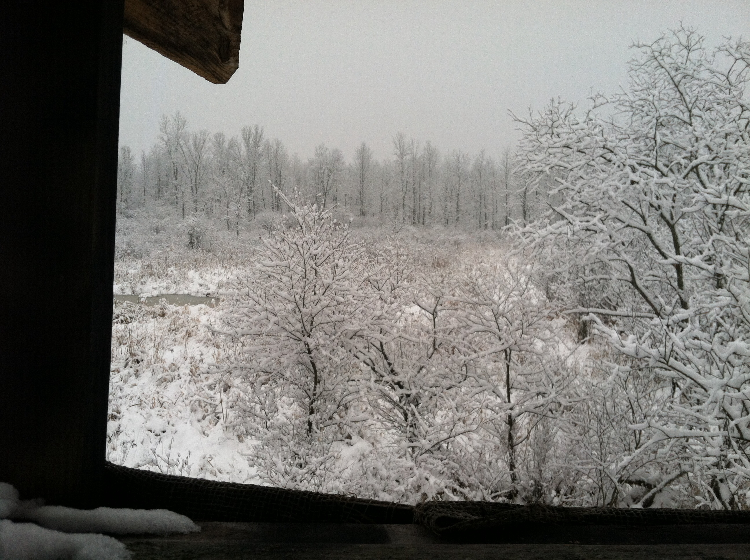
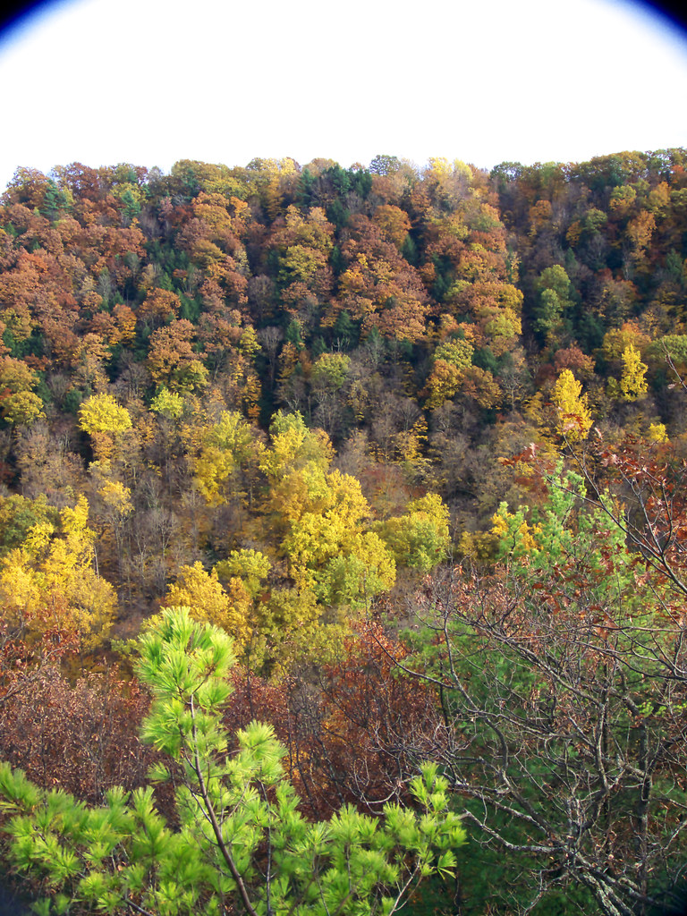
A view from my deer stand.
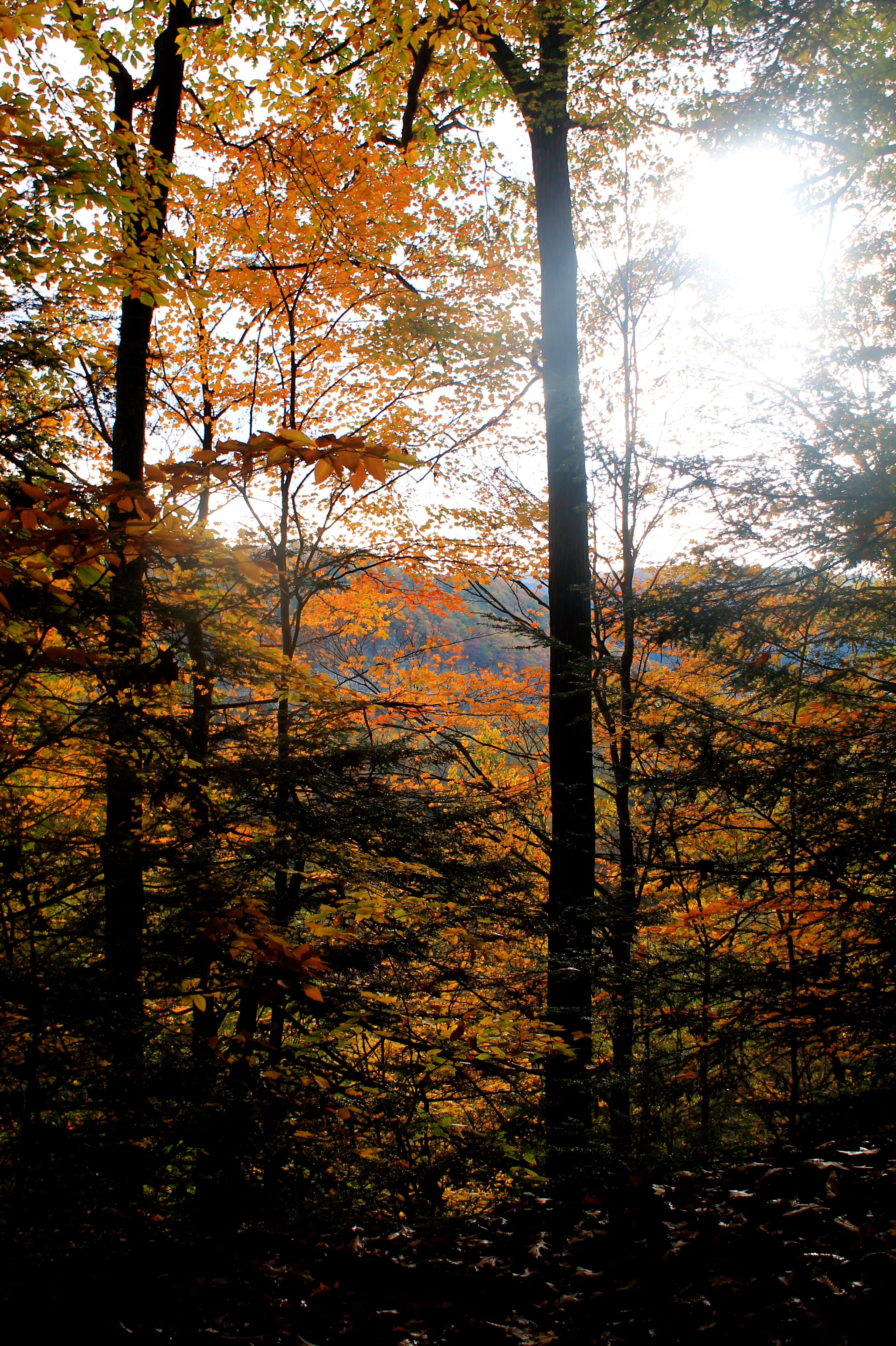
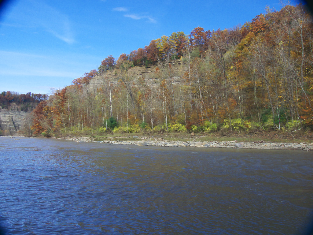
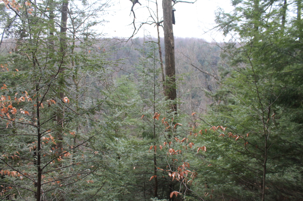
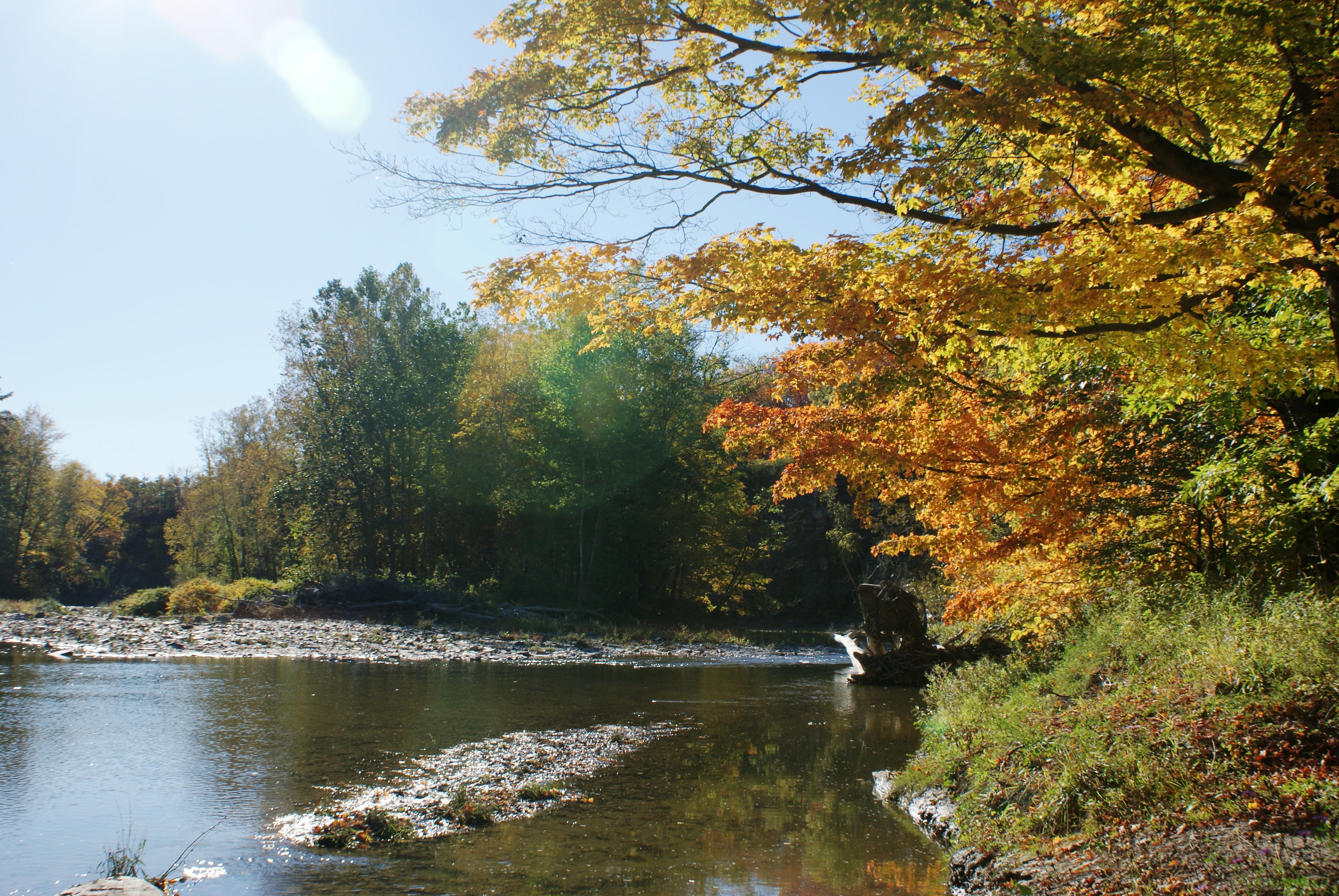
First View Of Zoar Valley
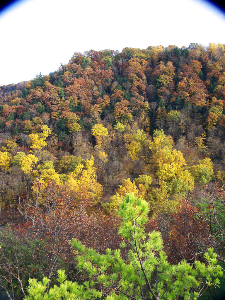
PyramidRckView 103_R
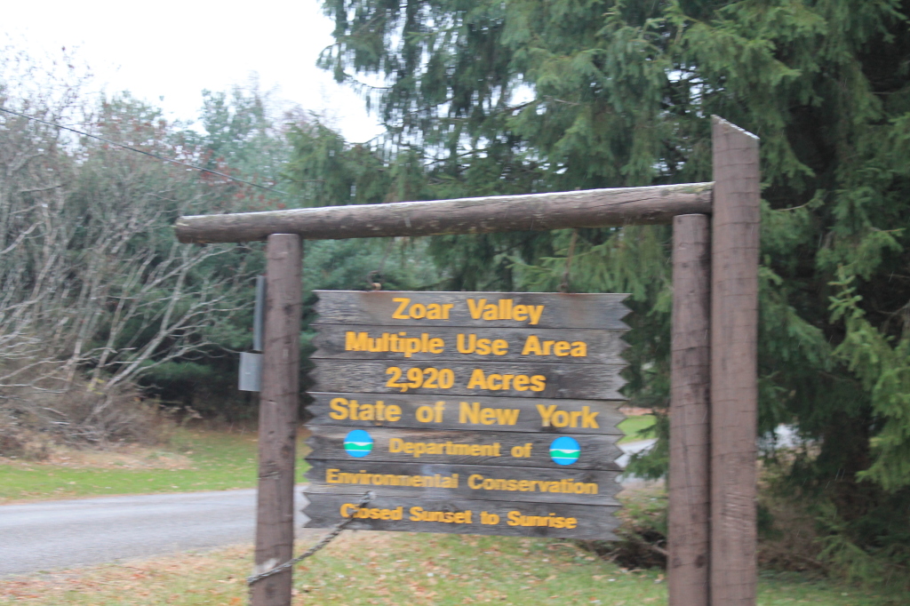
Zoar Valley MUA Trail Sign
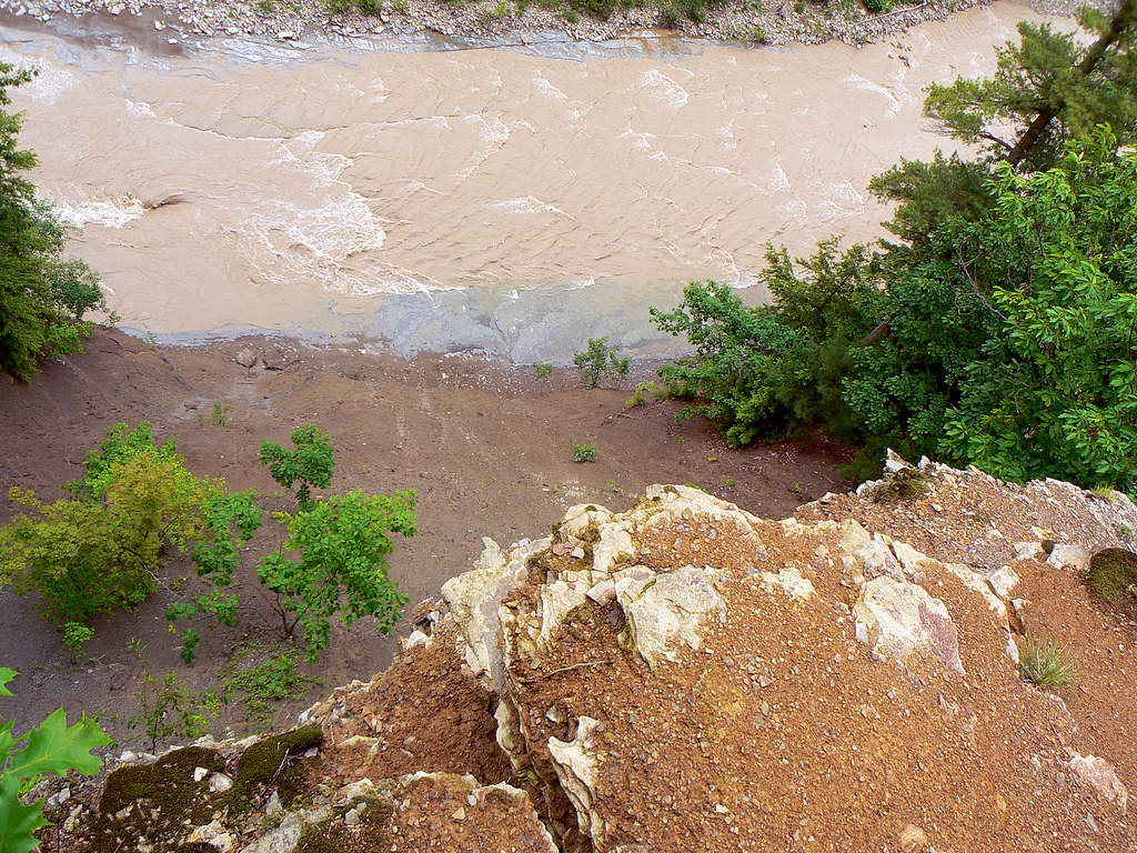
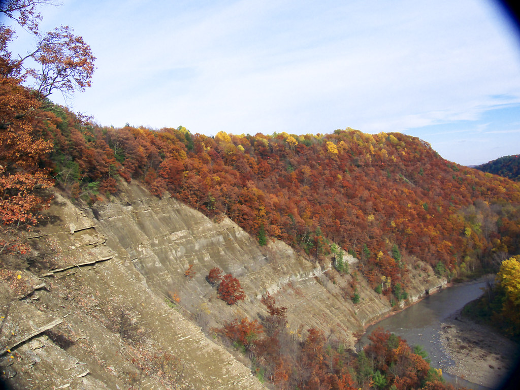
Looking over the edge of the Pyramid @ Zoar Valley, Cattaraugus Creek
PyramidRckViewOfKifEdgRdge 141_R
OutFrmKnfEdgRdg 204_R
MartinPt-Convergence 165_R
OutFrmKnfEdgRdg 216_R
OutFrmKnfEdgRdg 215_R
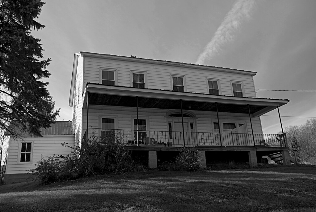
Grandmas Haunted House DSC_0002 B&W
TowardLookOut 166_R
TowardLookOut 167_R
OutFrmKnfEdgRdg 202_R
View from the Tip of Point Peter
A-NatBBBeach27_R
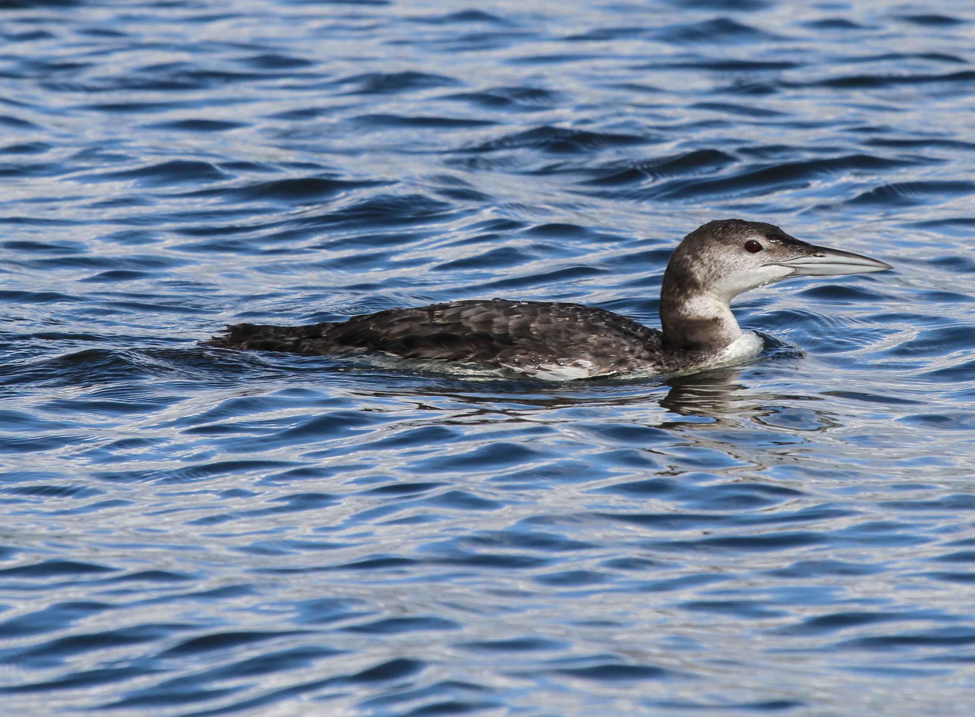
Common Loon
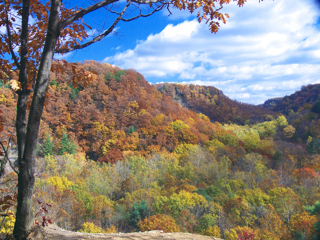
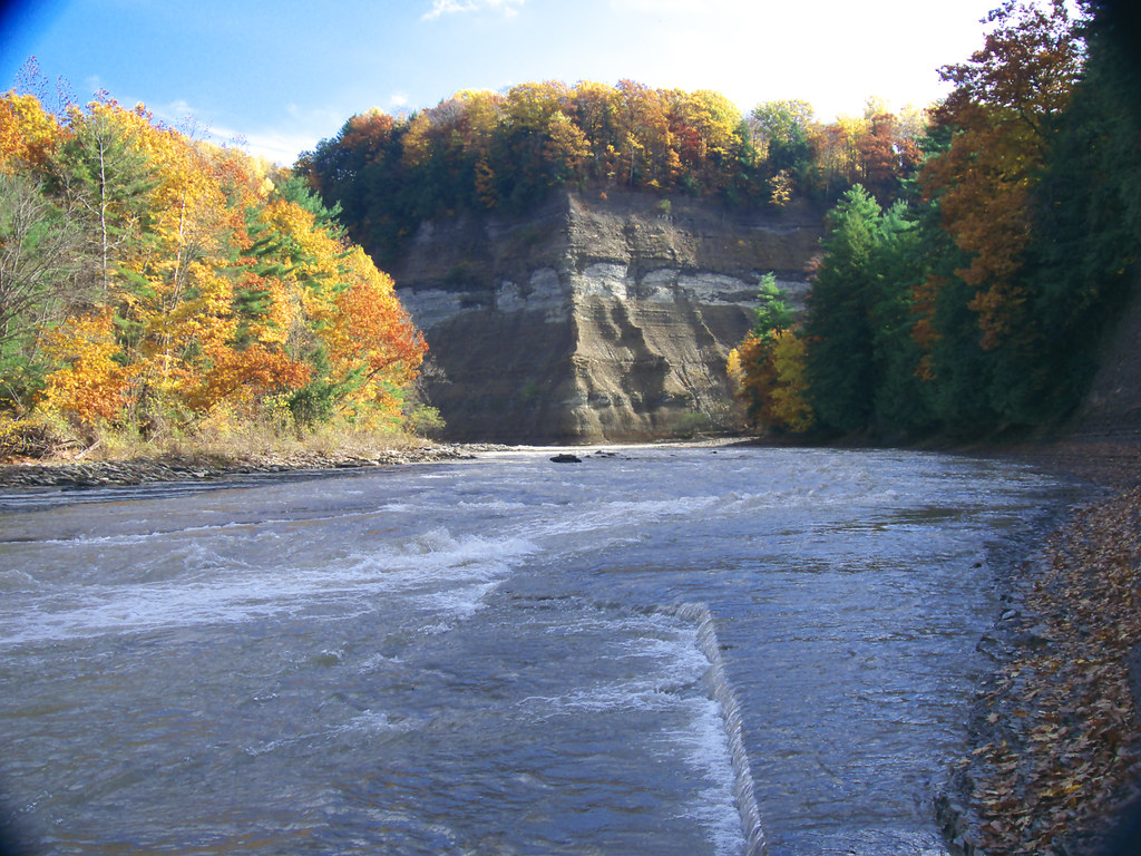
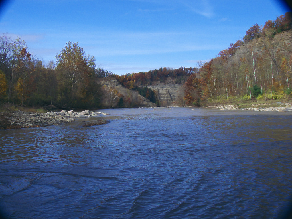
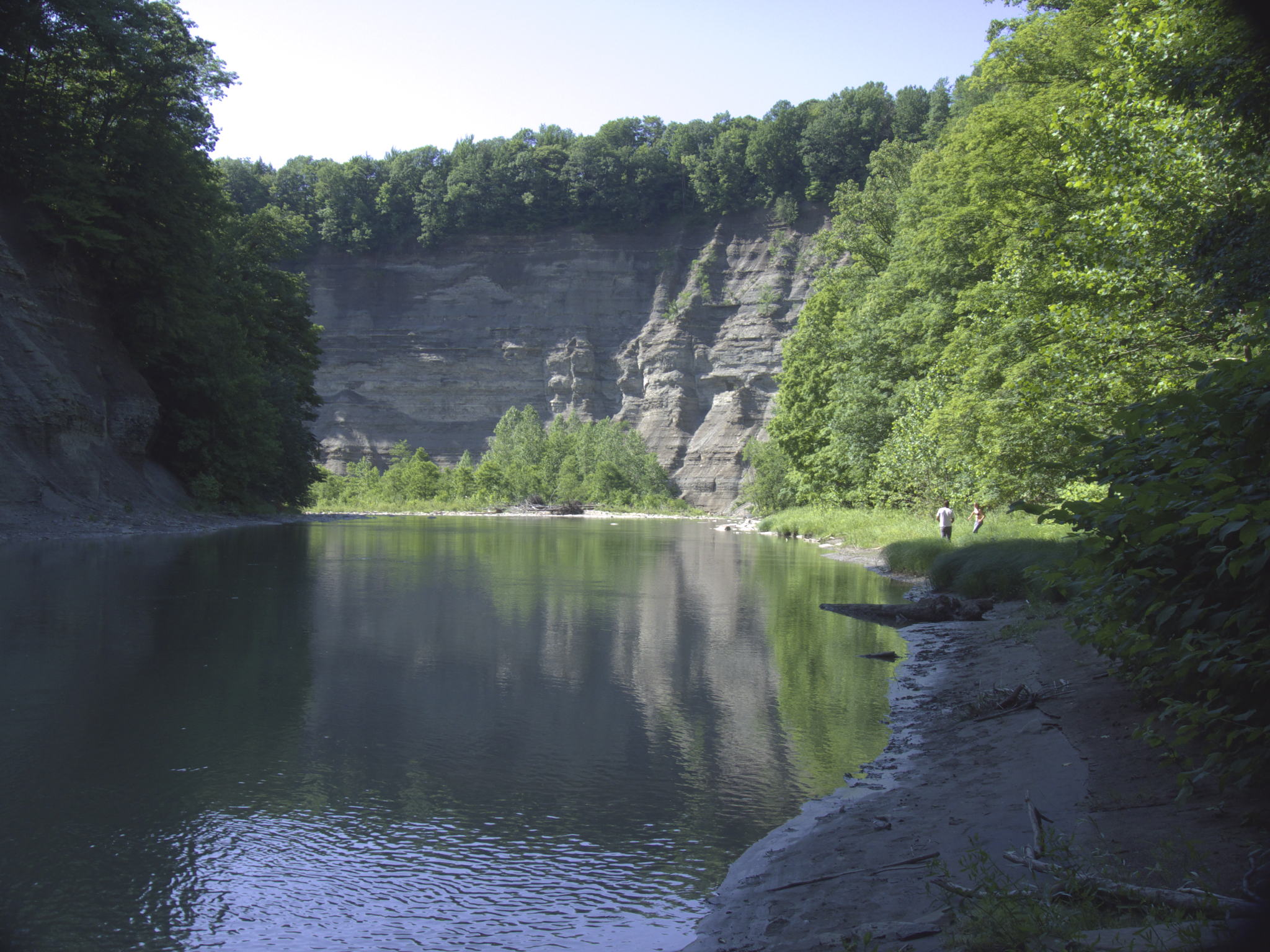
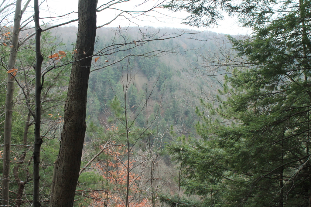
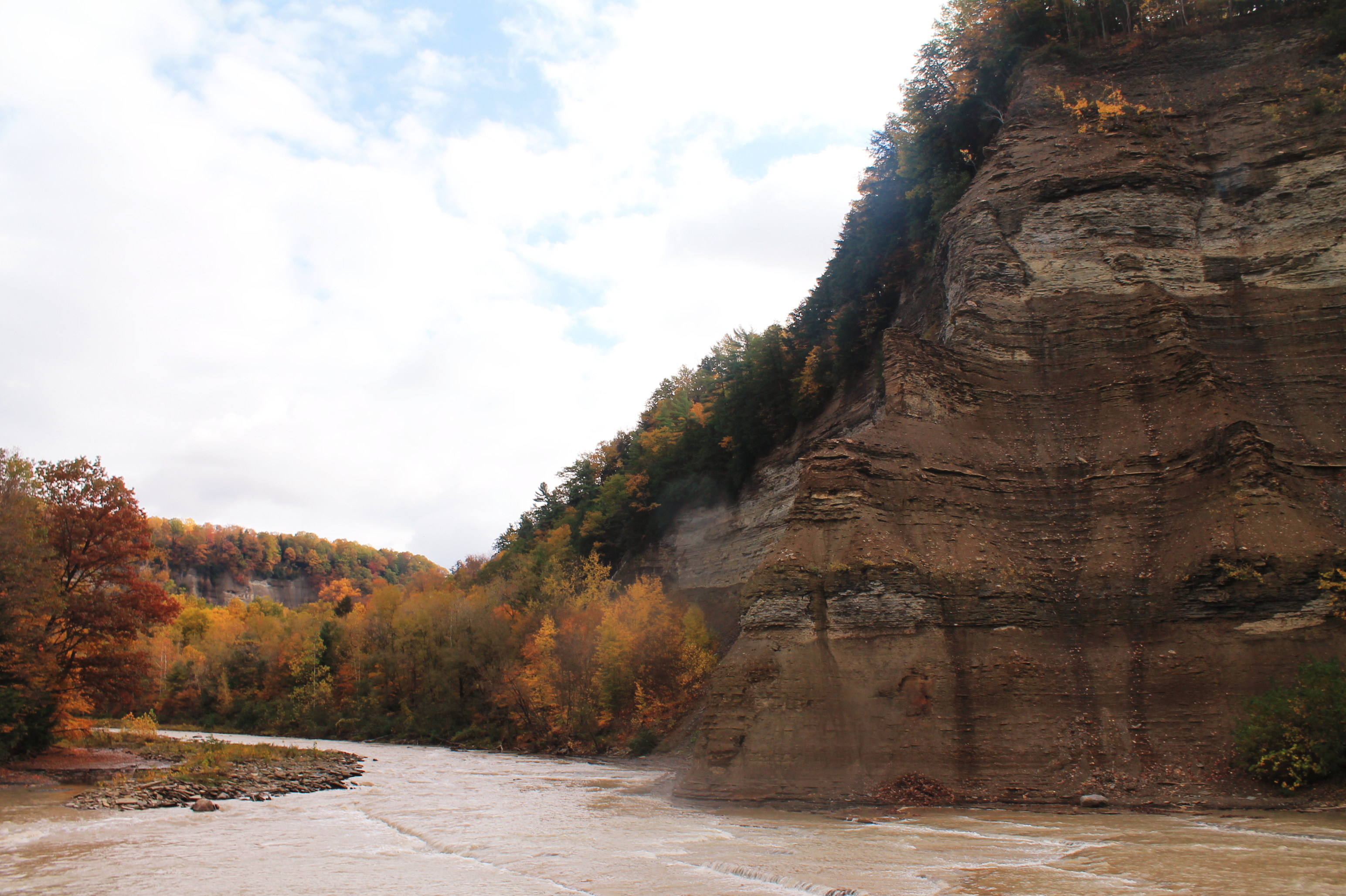
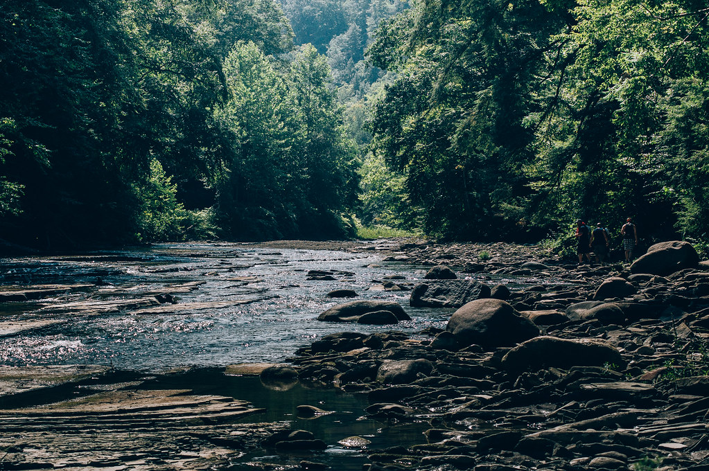
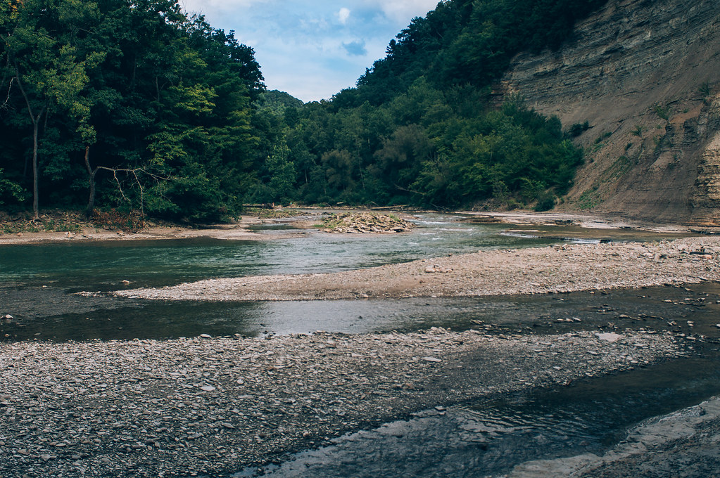
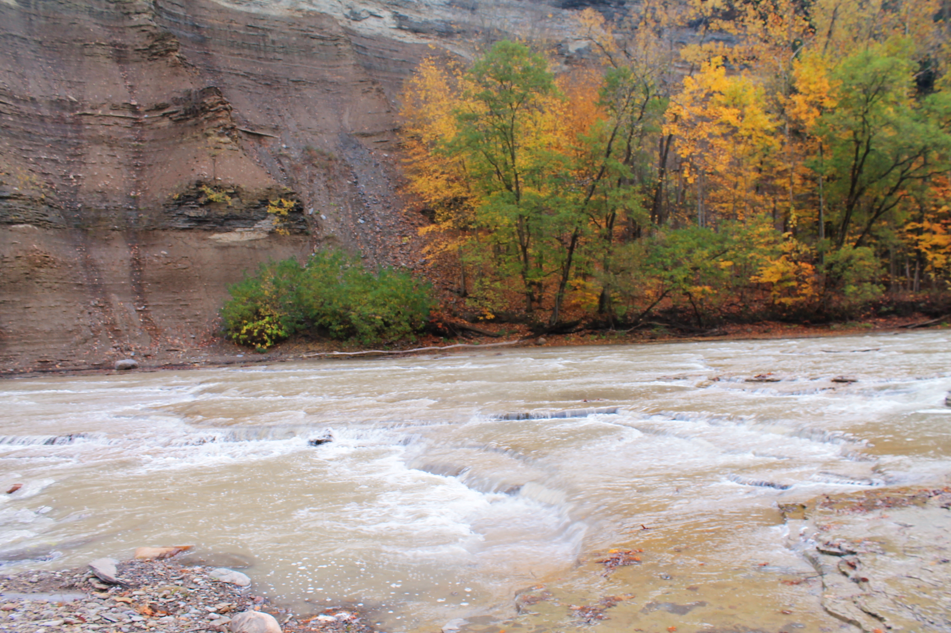
Gorge View
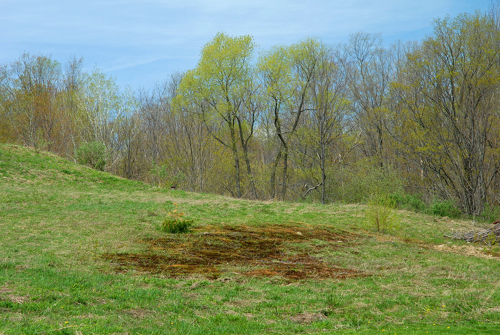
Pasture DSC_0001
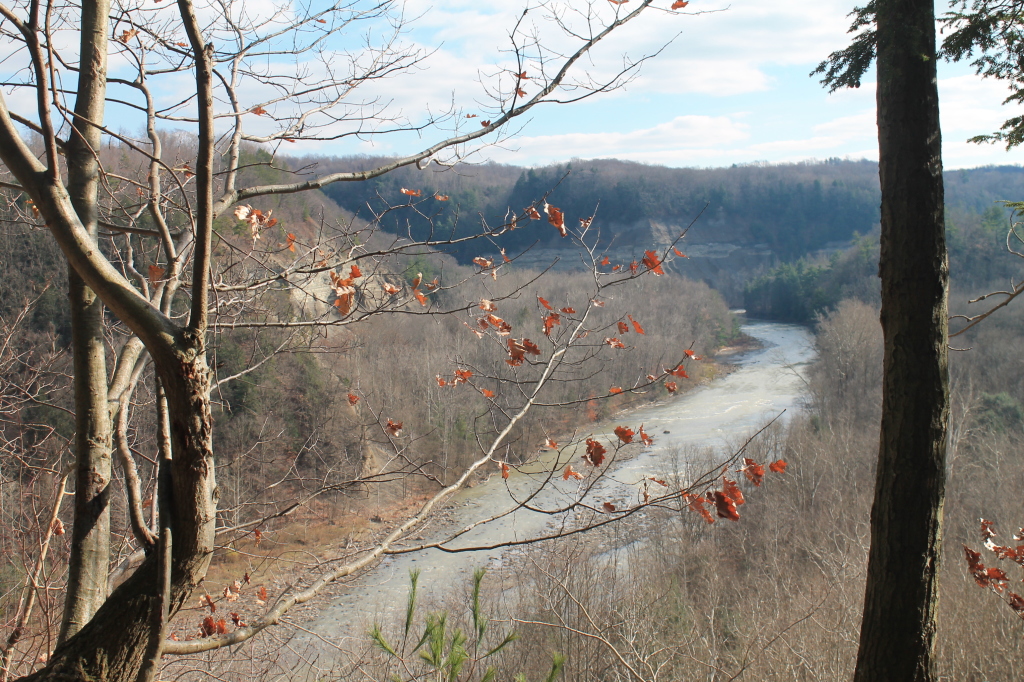
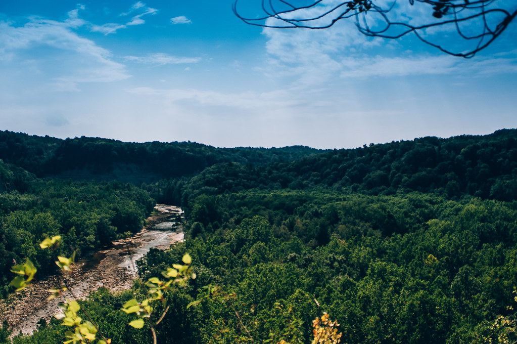
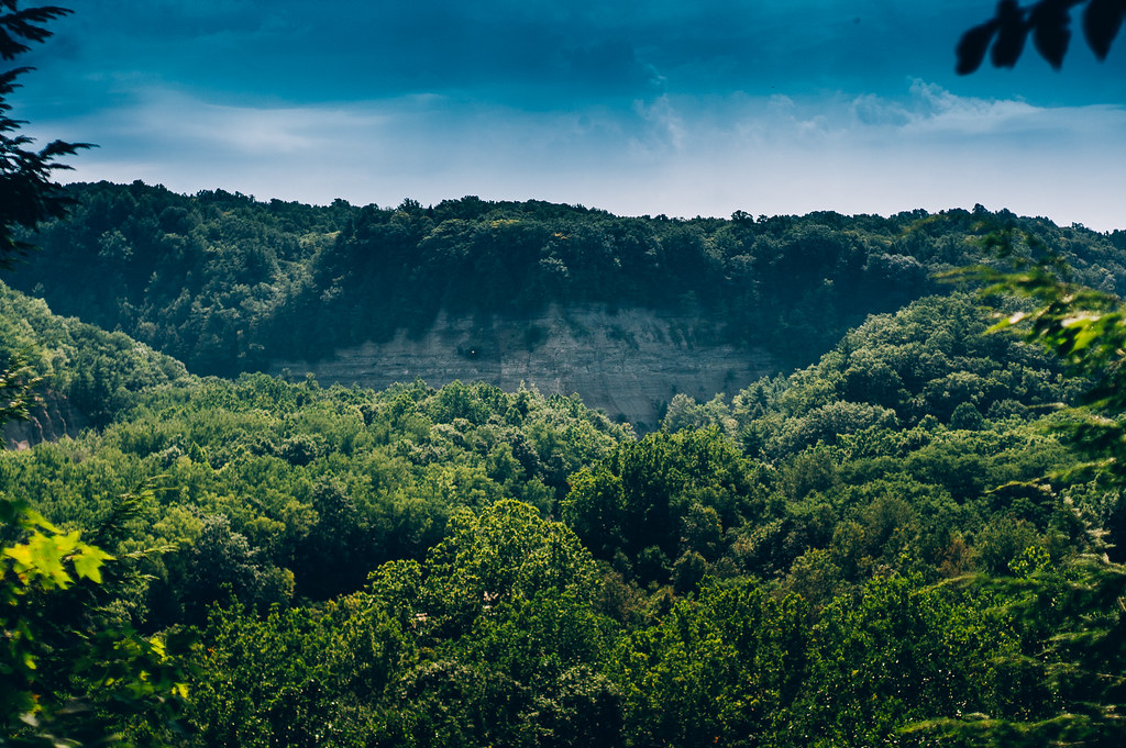
Small View Into the Gorge
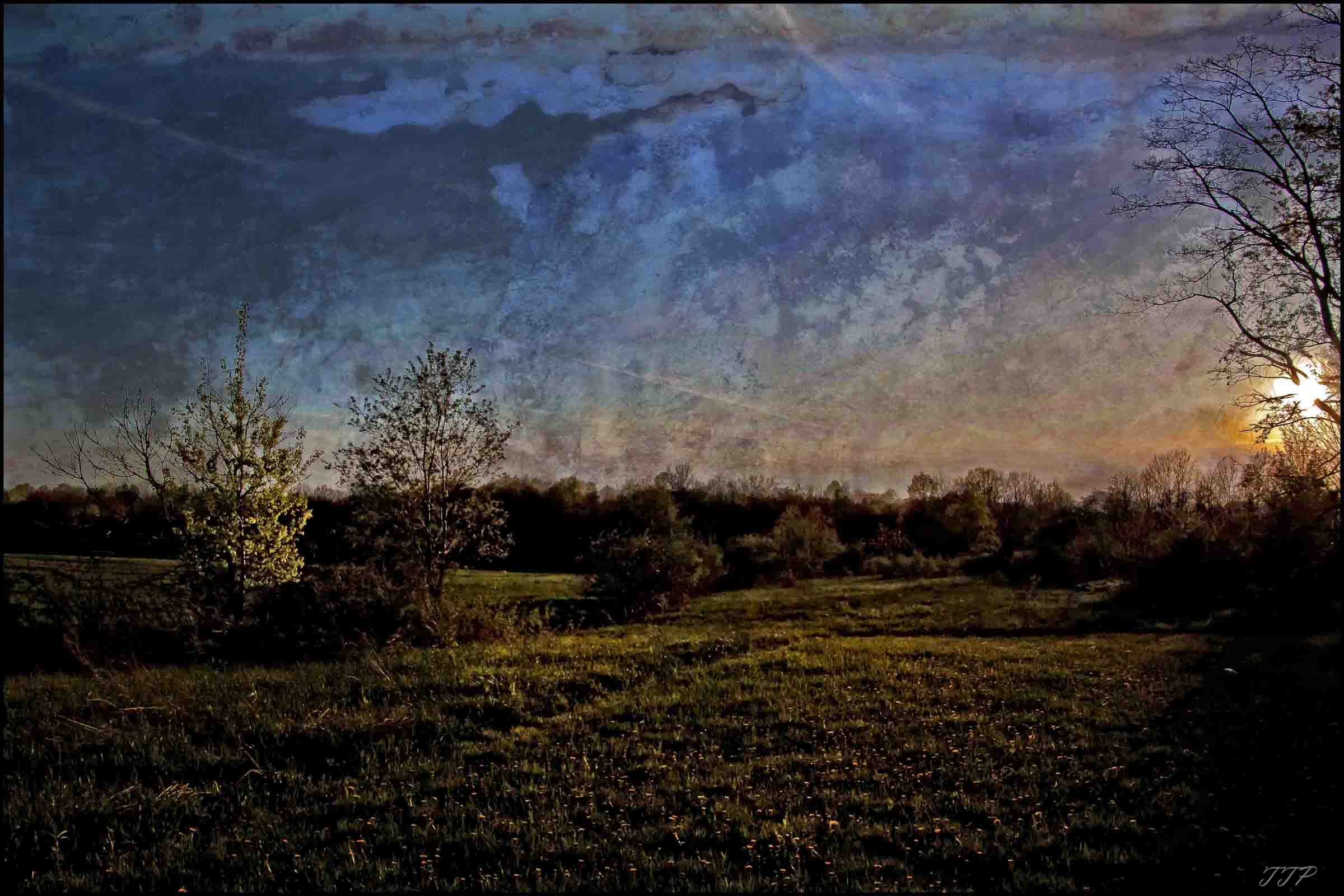
landscape by Tim

tree's eating sun

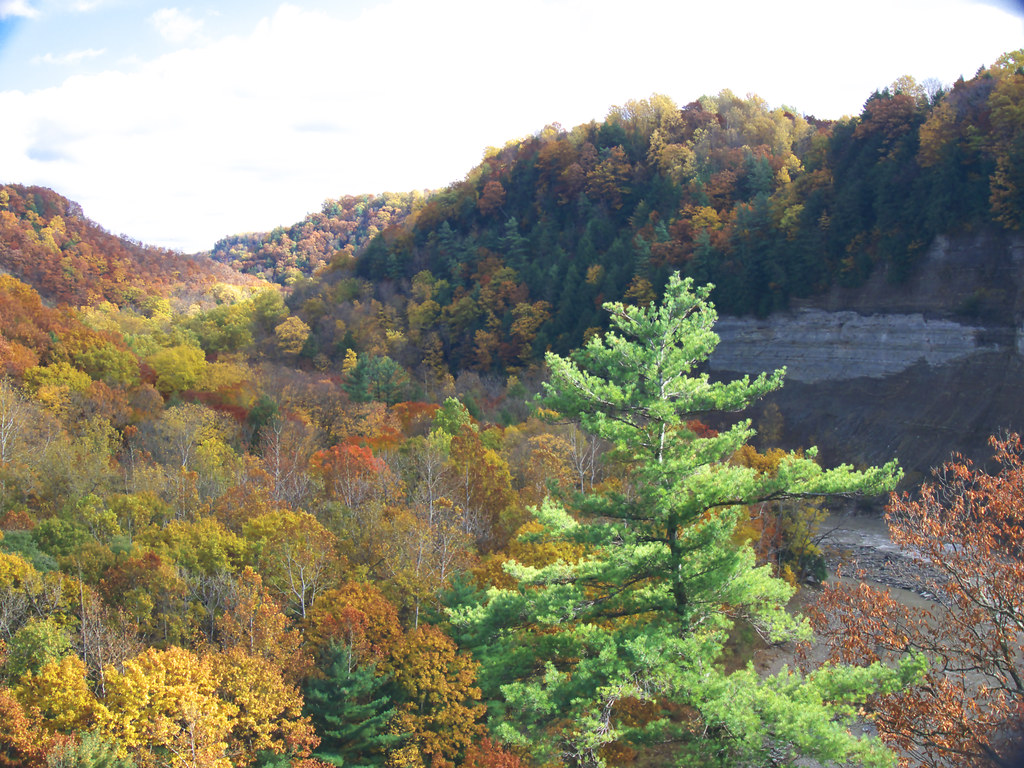
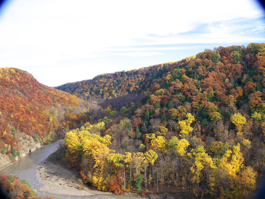
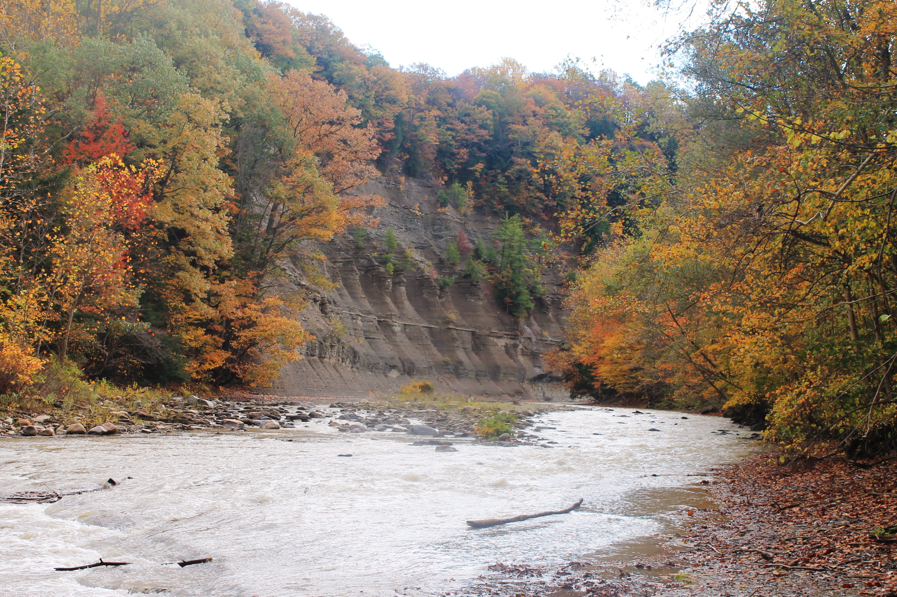
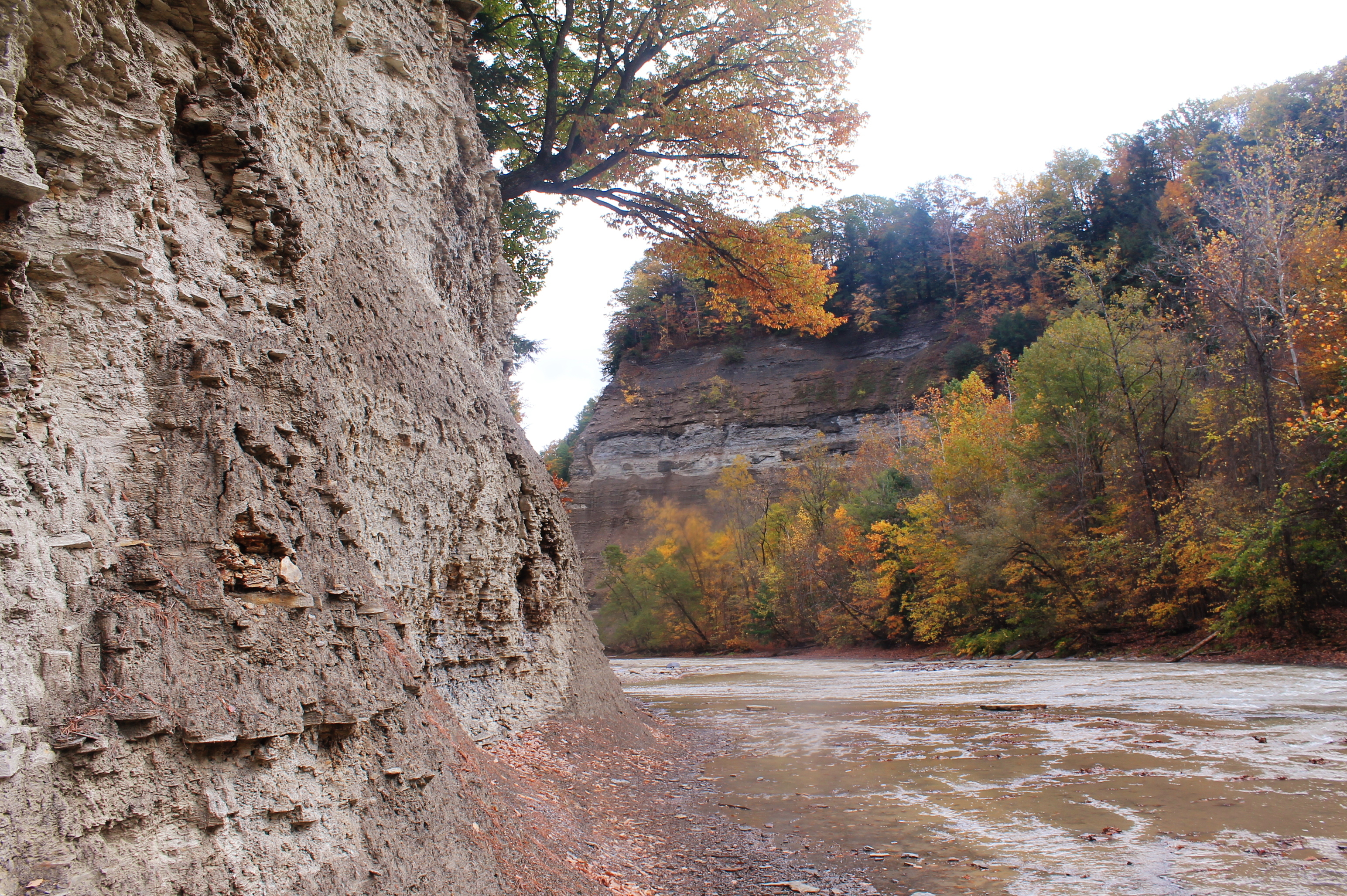
Zoar Valley
Along The South Branch
Nose Where The South Branch Of Cattaragus Creek Joins The Main Branch
marching into spring

Gowanda, NY
SONY DSC
DSC03260.jpg

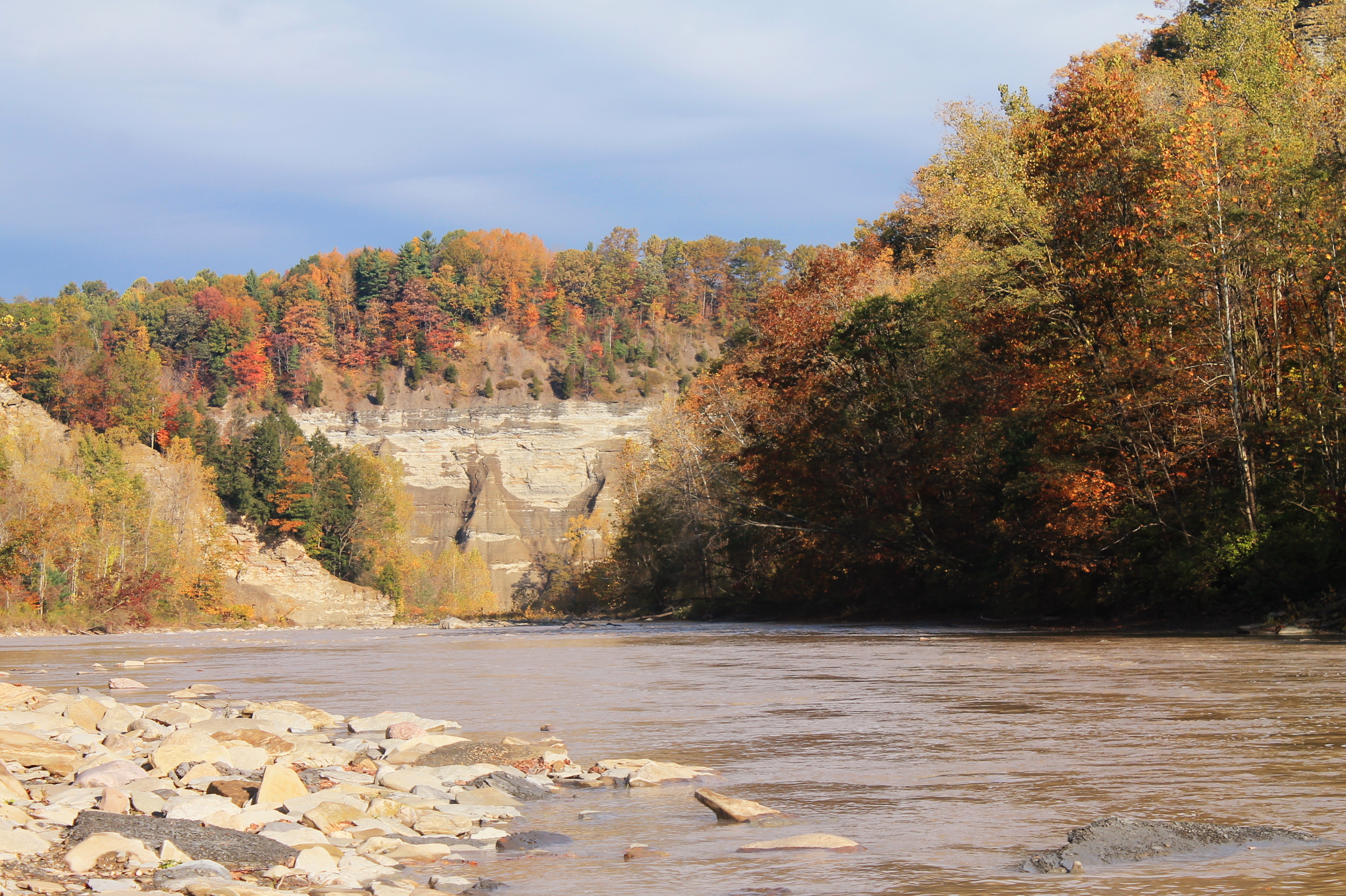
Zoar Valley
Looking Back At Pinnacle Point From The River
Zoar Valley
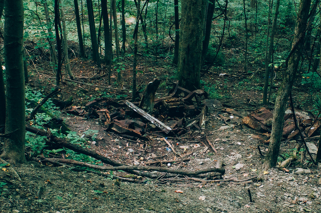
Old Car
I Should Watch For Falling Rocks
Zoar Valley

Tree Pattern
DSC03300.jpg
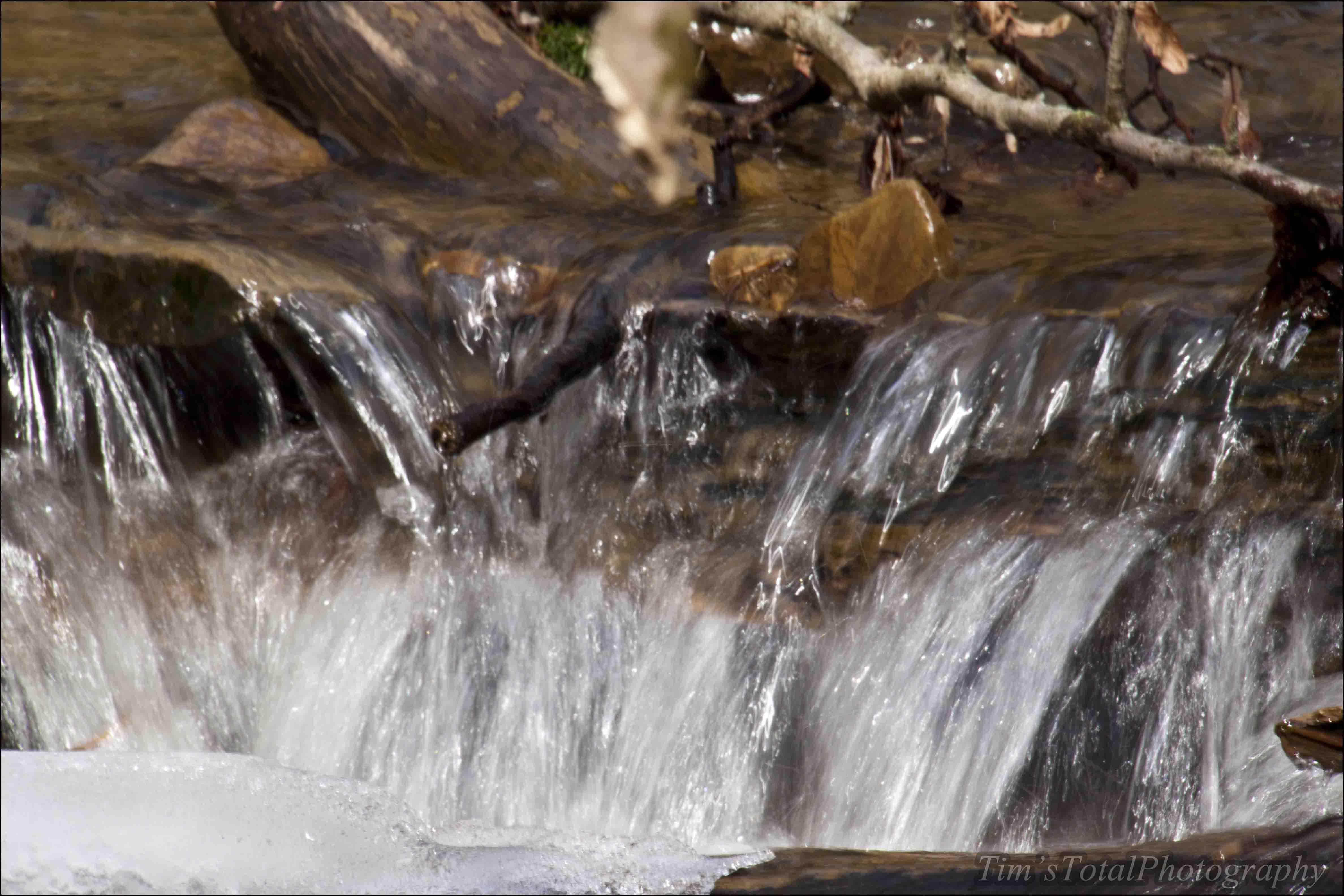
Gentle Drop In South Branch
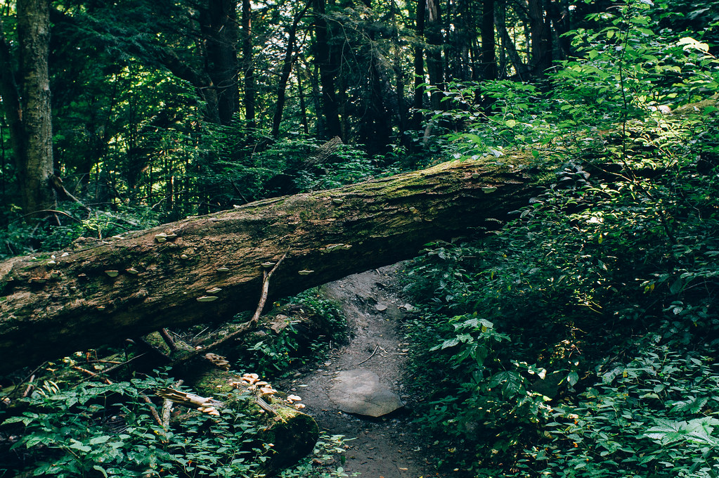
Over or Under
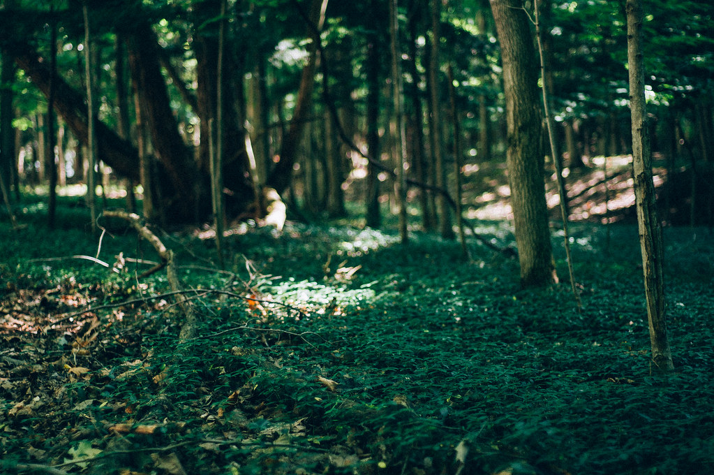
Blanketed in Green
Topographic Map of Persia, NY, USA
Find elevation by address:

Places in Persia, NY, USA:
Places near Persia, NY, USA:
Markhams Rd, Gowanda, NY, USA
18 Beech St
Dayton
2328 Gowanda Zoar Rd
Gowanda
23 NY-39, Gowanda, NY, USA
Dayton
Markhams Rd, South Dayton, NY, USA
Otto
Gowanda Zoar Rd, Gowanda, NY, USA
Collins
Collins
Lenox Rd, Collins, NY, USA
12048 Ny-438
South Dayton
Lawtons
East Otto
4676 Scrabble Hill Rd
7940 Mill St
12516 Sisson Hwy
Recent Searches:
- Elevation of Corso Fratelli Cairoli, 35, Macerata MC, Italy
- Elevation of Tallevast Rd, Sarasota, FL, USA
- Elevation of 4th St E, Sonoma, CA, USA
- Elevation of Black Hollow Rd, Pennsdale, PA, USA
- Elevation of Oakland Ave, Williamsport, PA, USA
- Elevation of Pedrógão Grande, Portugal
- Elevation of Klee Dr, Martinsburg, WV, USA
- Elevation of Via Roma, Pieranica CR, Italy
- Elevation of Tavkvetili Mountain, Georgia
- Elevation of Hartfords Bluff Cir, Mt Pleasant, SC, USA