Elevation of East Otto, NY, USA
Location: United States > New York > Cattaraugus County >
Longitude: -78.770289
Latitude: 42.4091703
Elevation: 447m / 1467feet
Barometric Pressure: 96KPa
Elevation Map:
Satellite Map:
Related Photos:
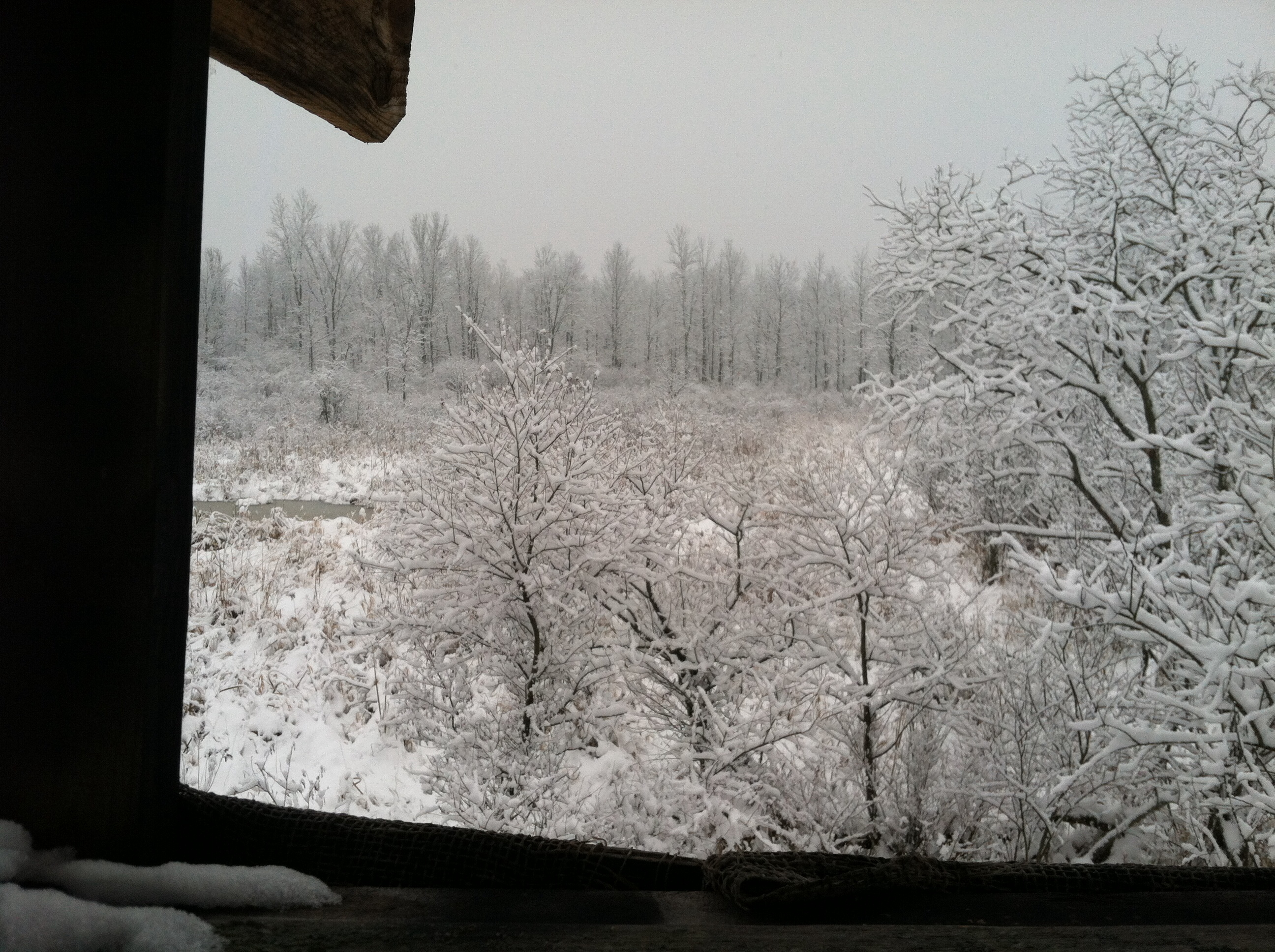
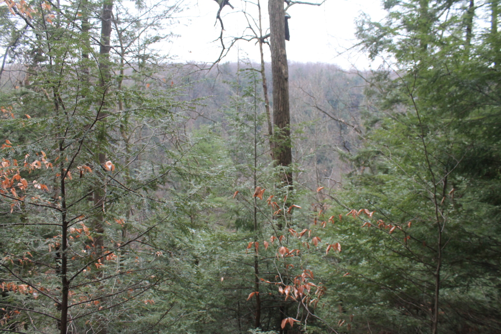
A view from my deer stand.
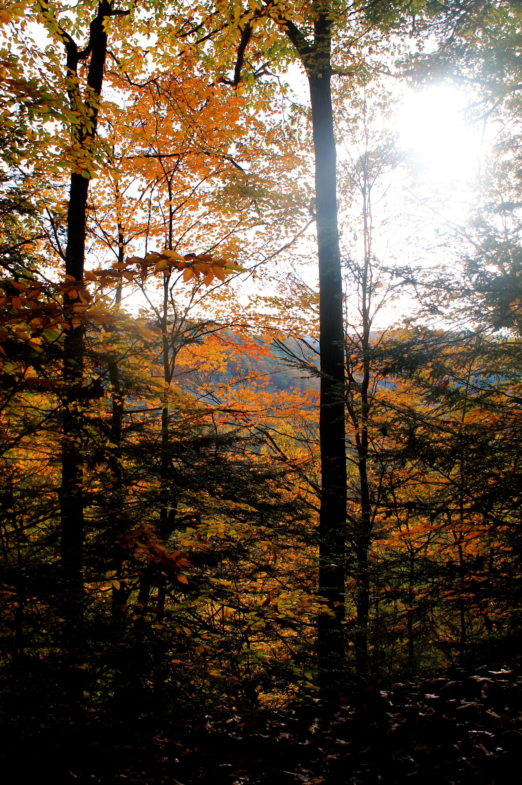
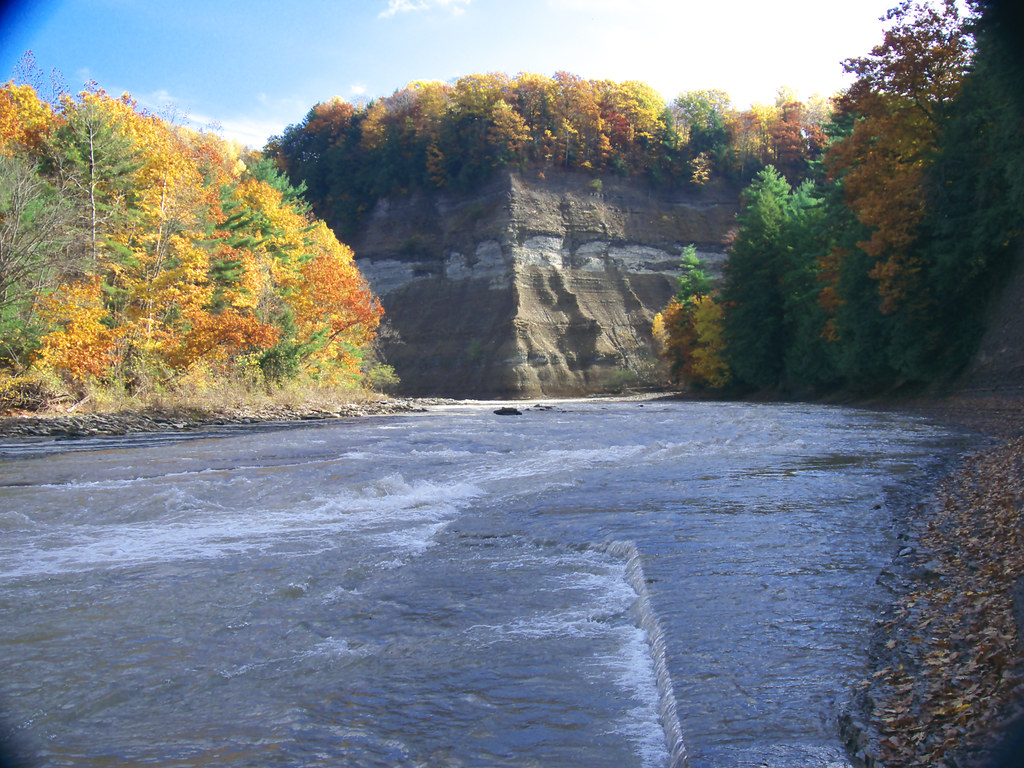
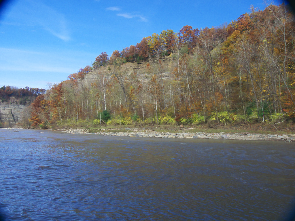
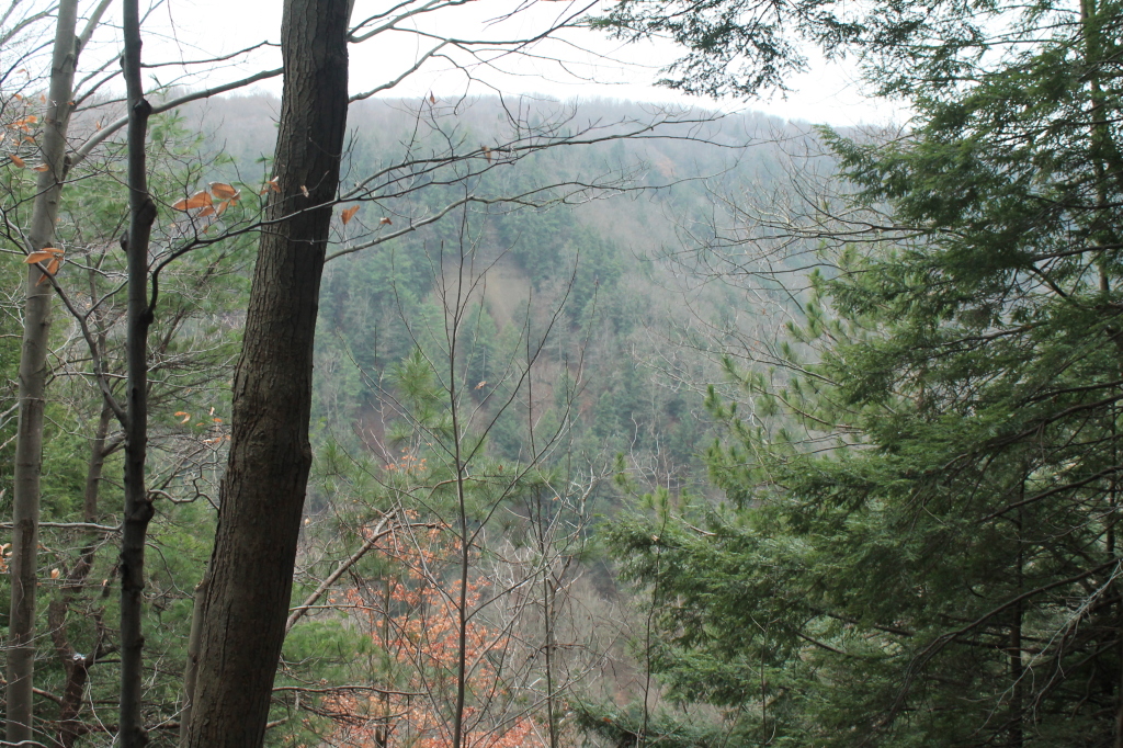
First View Of Zoar Valley
PyramidRckView 103_R
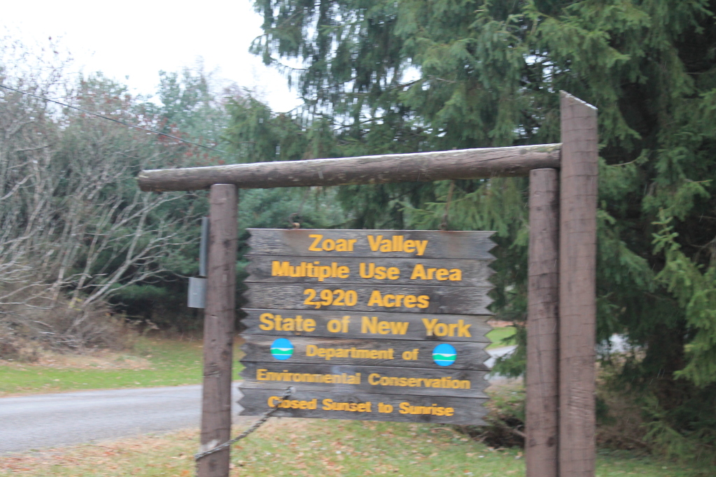
Zoar Valley MUA Trail Sign
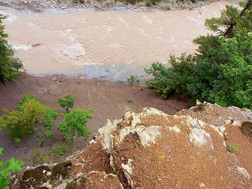
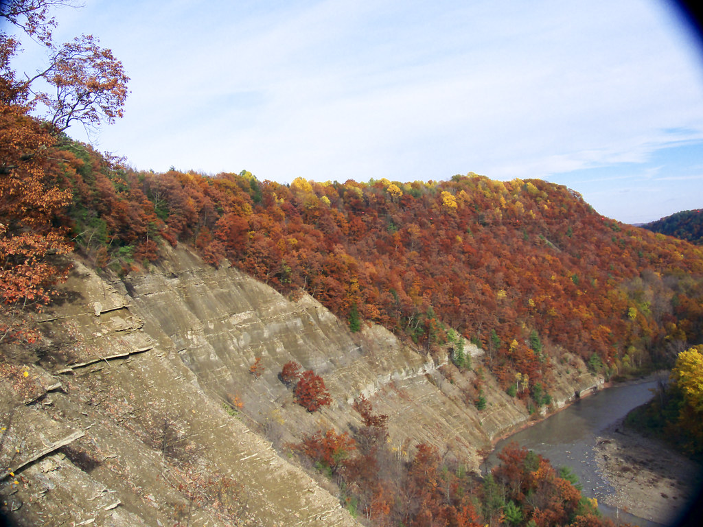
Looking over the edge of the Pyramid @ Zoar Valley, Cattaraugus Creek
PyramidRckViewOfKifEdgRdge 141_R
A-NatBBBeach27_R
OutFrmKnfEdgRdg 204_R
MartinPt-Convergence 165_R
OutFrmKnfEdgRdg 216_R
OutFrmKnfEdgRdg 215_R
TowardLookOut 166_R
TowardLookOut 167_R
OutFrmKnfEdgRdg 202_R

070808-02
View from the Tip of Point Peter
"Hey mister, take our picture!"
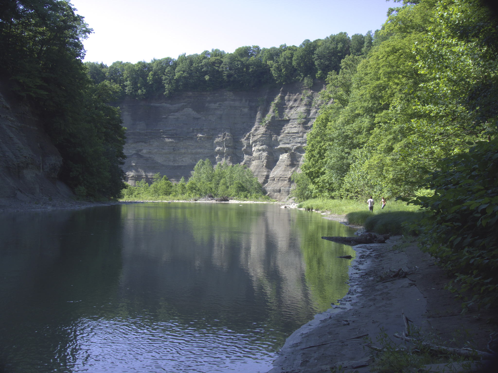
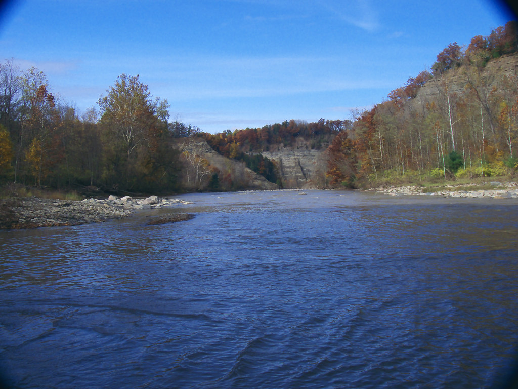
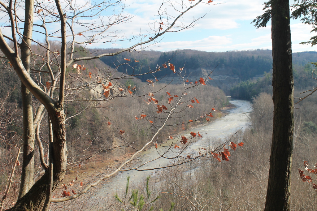
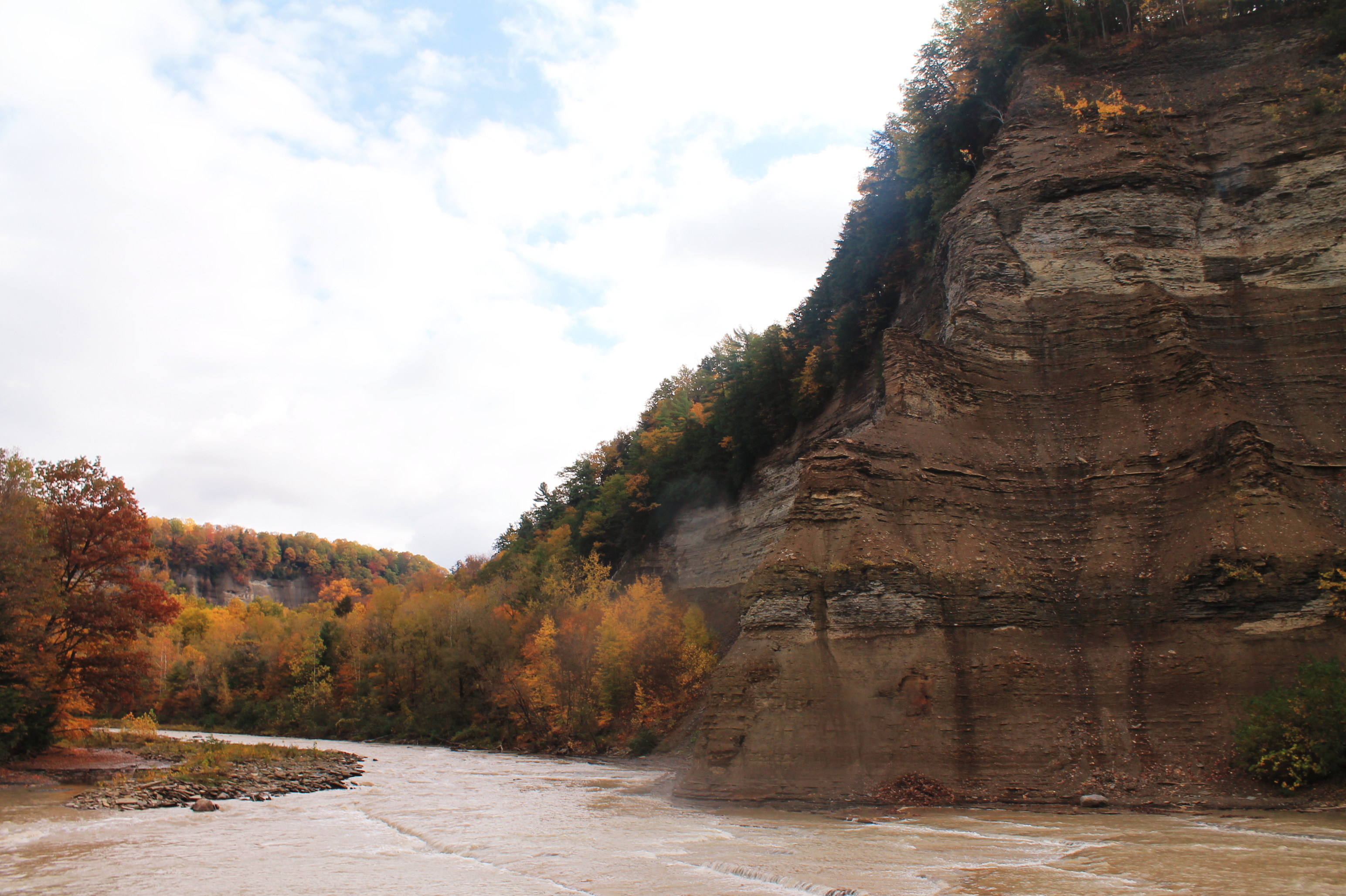
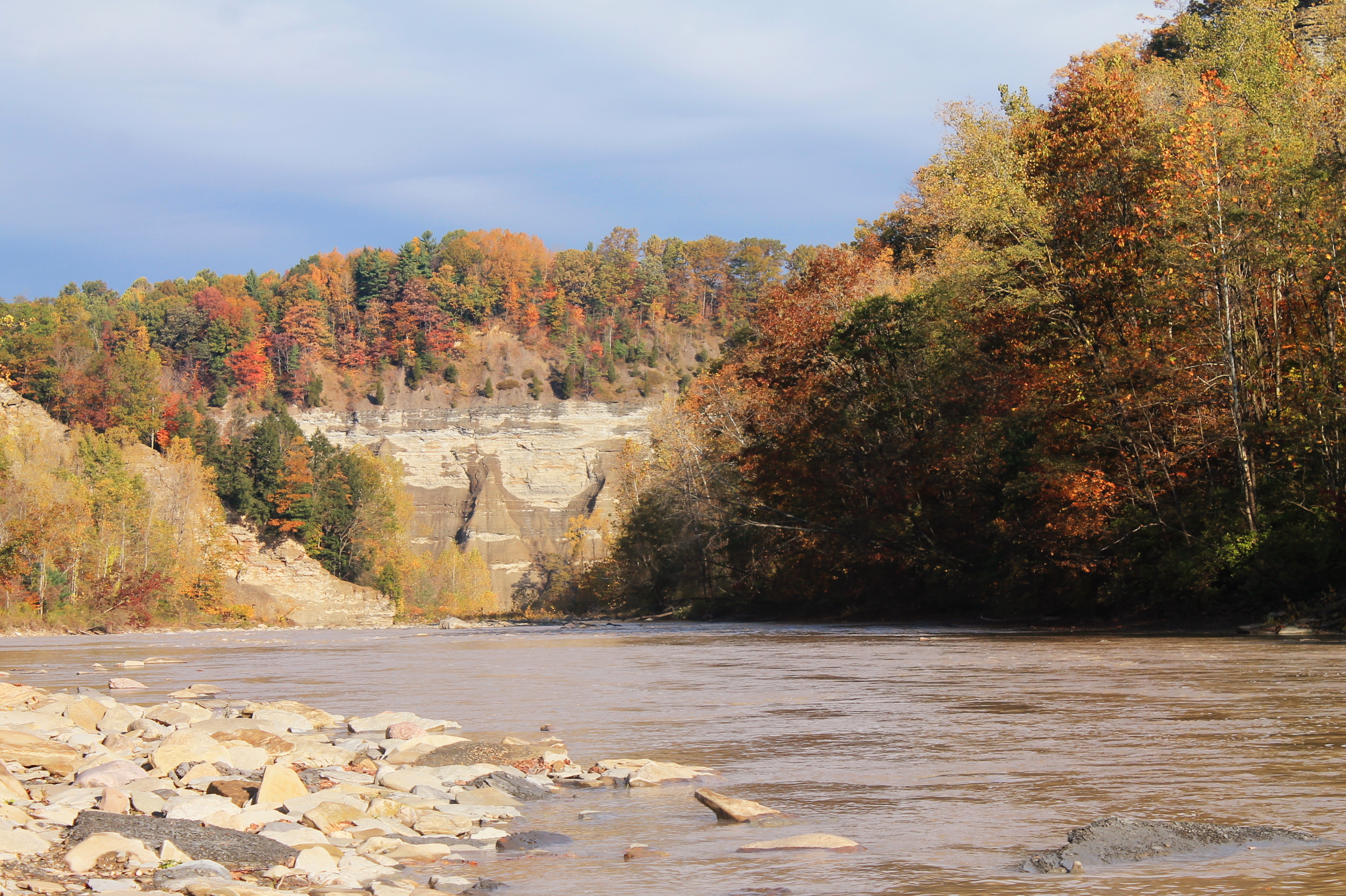
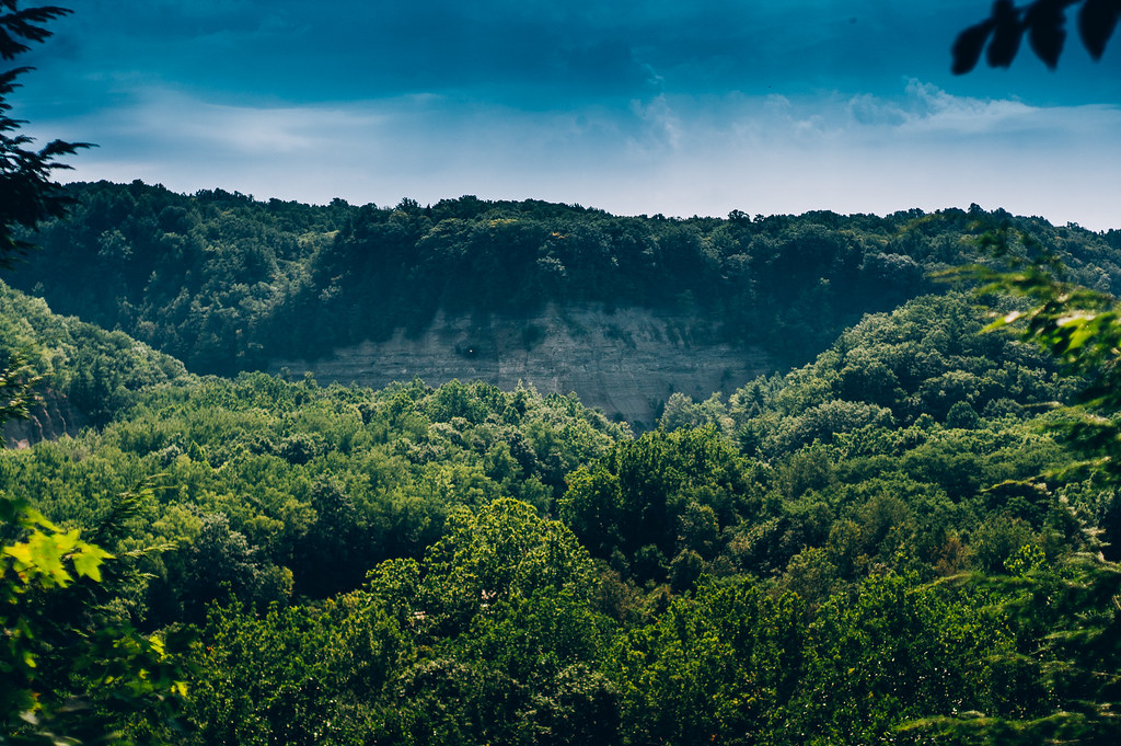
Gorge View
Small View Into the Gorge

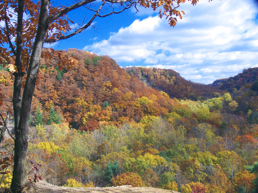
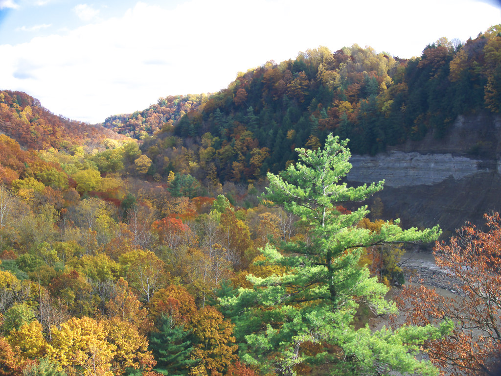
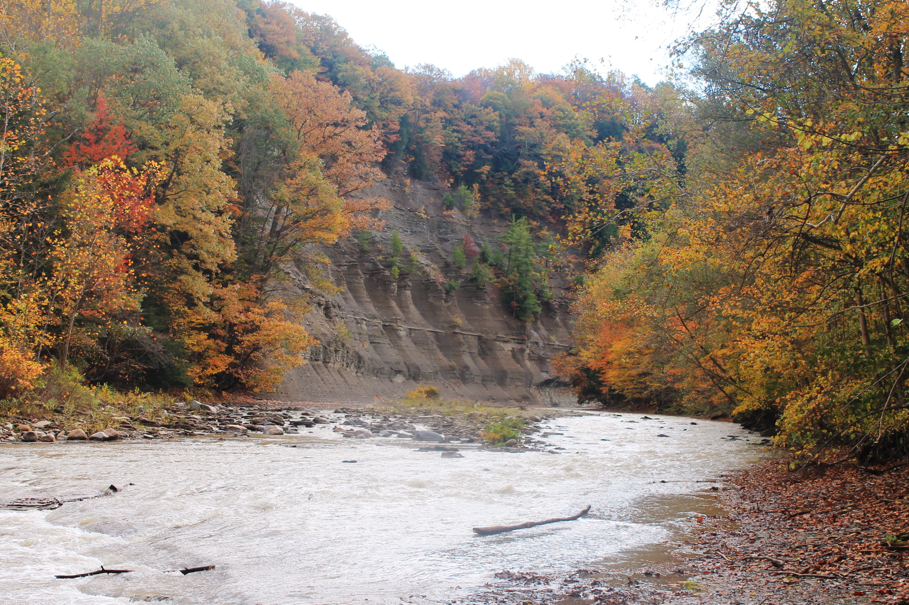
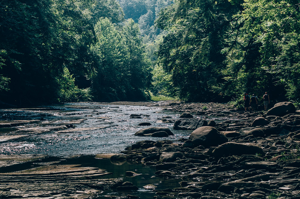
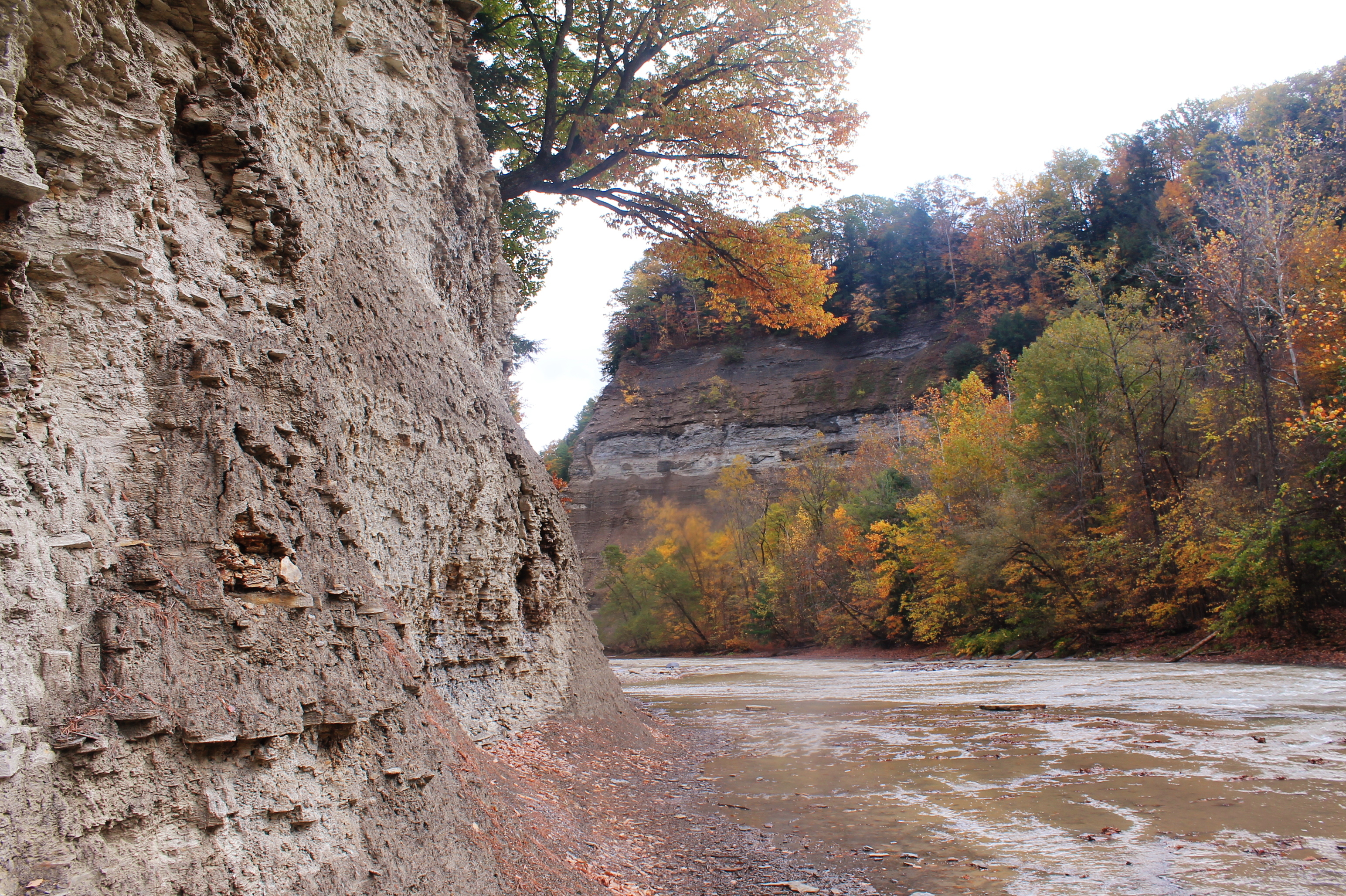
Zoar Valley
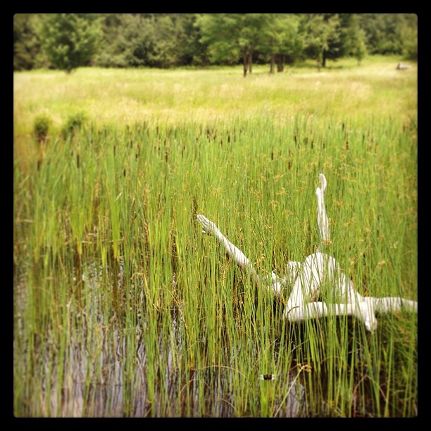
Lake sculpture
HIP_334953163.706315
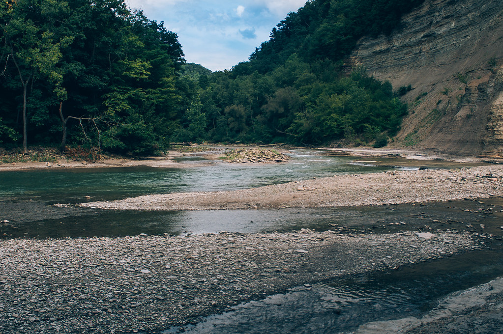
Along The South Branch
Nose Where The South Branch Of Cattaragus Creek Joins The Main Branch
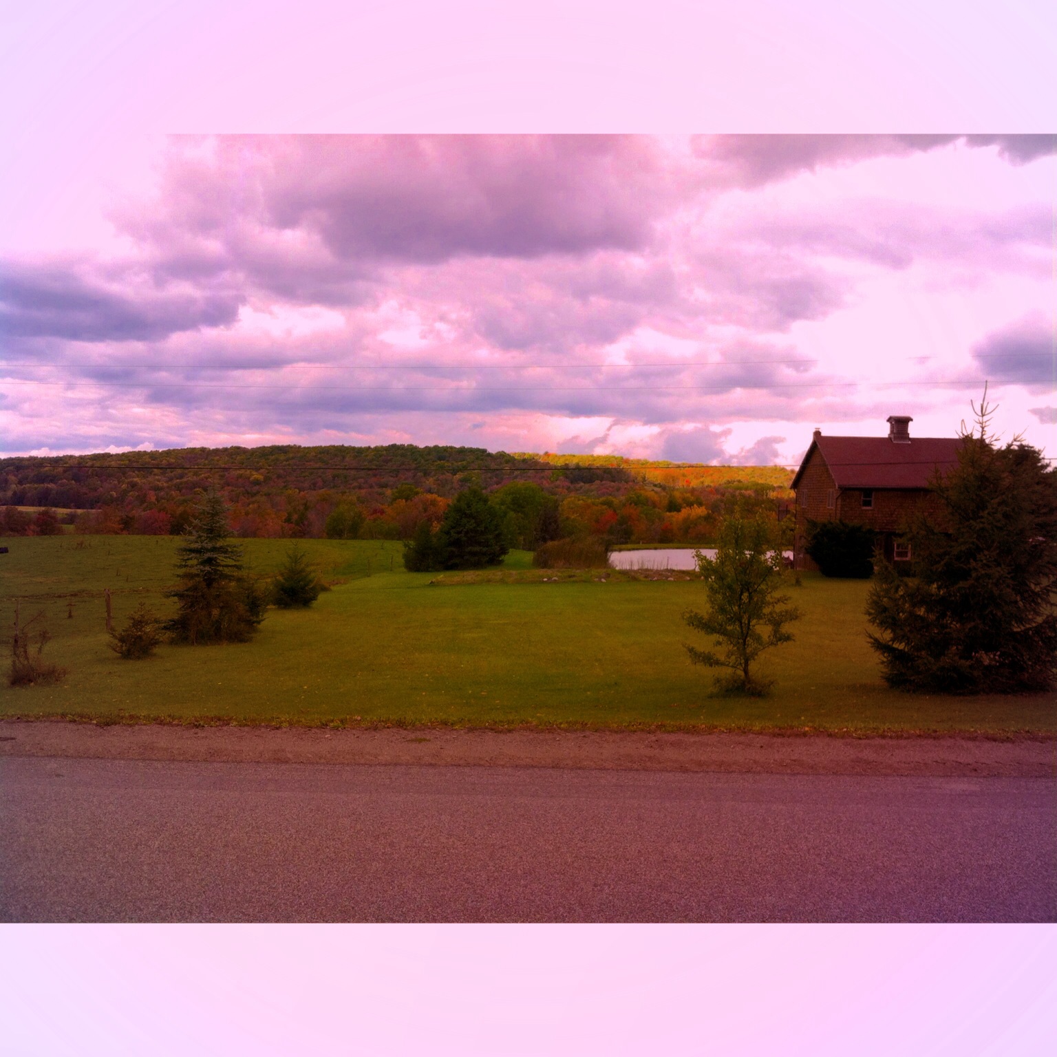
A cabin in WNY Notice the Pond

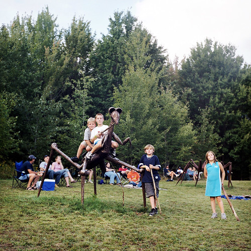
Griffiss Sculpture Park 18
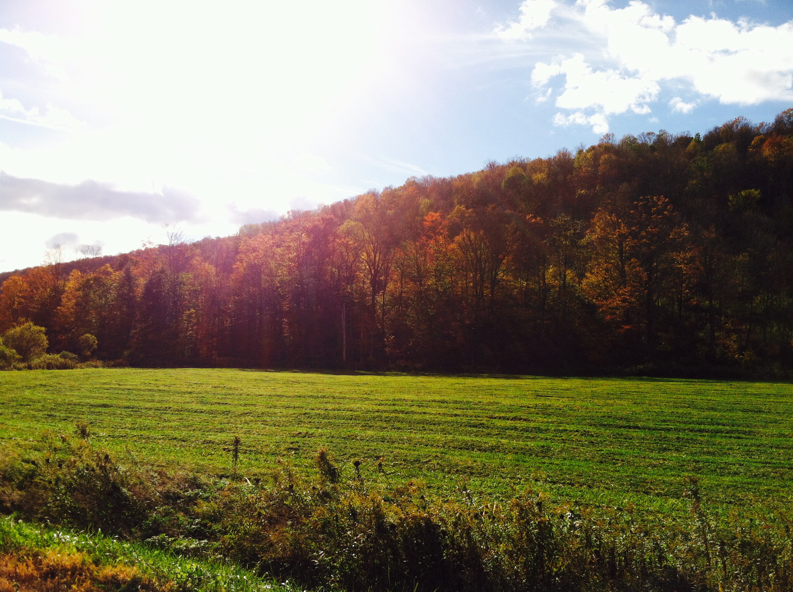
Took a ride to an October Festival and caught some nice pics.

Gowanda, NY

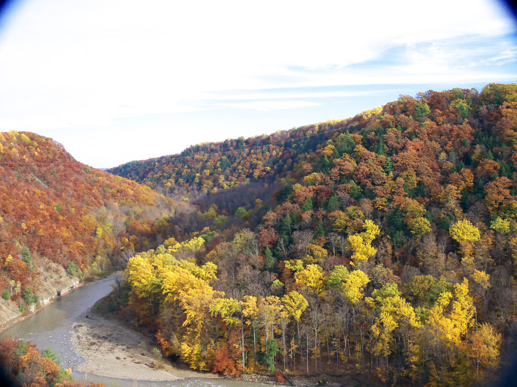
Zoar Valley
DSC03260.jpg
Looking Back At Pinnacle Point From The River
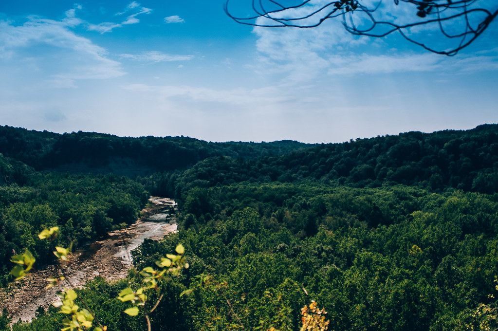
Zoar Valley
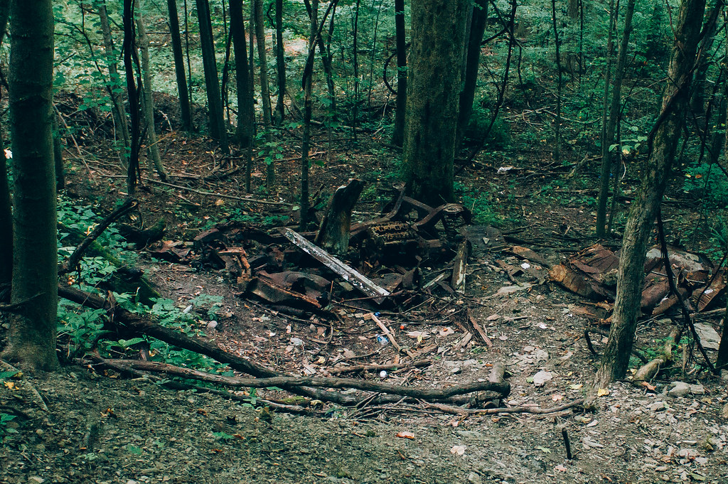
Old Car
I Should Watch For Falling Rocks

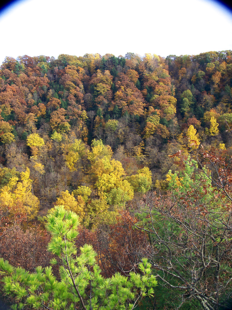
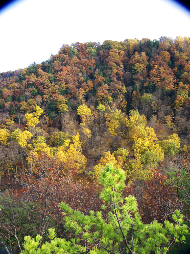
Tree Pattern
Zoar Valley
DSC03300.jpg
Over or Under
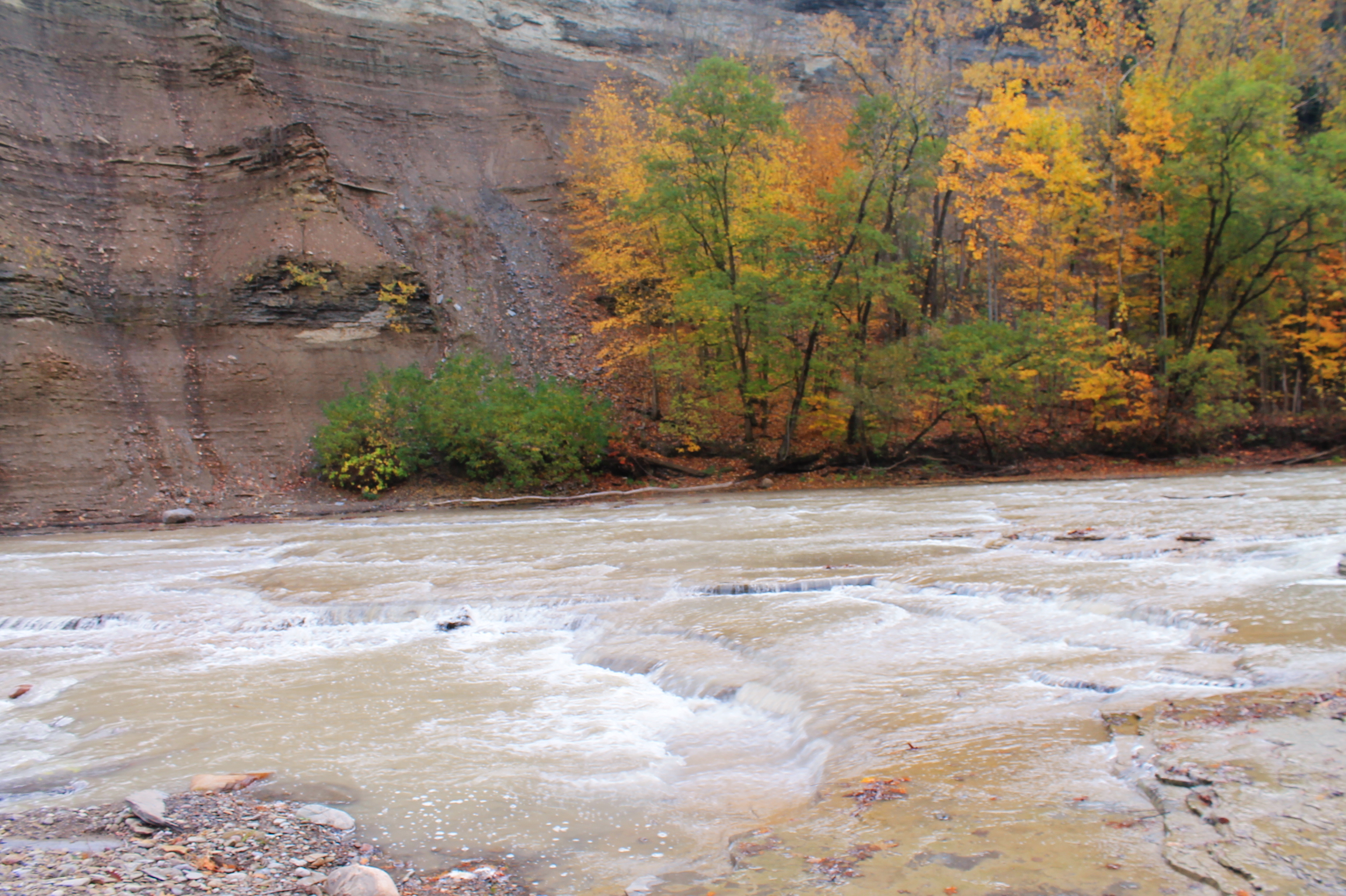
Gentle Drop In South Branch
Topographic Map of East Otto, NY, USA
Find elevation by address:

Places in East Otto, NY, USA:
Places near East Otto, NY, USA:
7940 Mill St
East Otto
Otto
10549 Hammond Hill Rd
Gowanda Zoar Rd, Gowanda, NY, USA
4676 Scrabble Hill Rd
Collins
Collins
Albee Road
Persia
12516 Sisson Hwy
2328 Gowanda Zoar Rd
18 Beech St
23 NY-39, Gowanda, NY, USA
Gowanda
Markhams Rd, Gowanda, NY, USA
Lenox Rd, Collins, NY, USA
Lawtons
Dayton
12048 Ny-438
Recent Searches:
- Elevation of Congressional Dr, Stevensville, MD, USA
- Elevation of Bellview Rd, McLean, VA, USA
- Elevation of Stage Island Rd, Chatham, MA, USA
- Elevation of Shibuya Scramble Crossing, 21 Udagawacho, Shibuya City, Tokyo -, Japan
- Elevation of Jadagoniai, Kaunas District Municipality, Lithuania
- Elevation of Pagonija rock, Kranto 7-oji g. 8"N, Kaunas, Lithuania
- Elevation of Co Rd 87, Jamestown, CO, USA
- Elevation of Tenjo, Cundinamarca, Colombia
- Elevation of Côte-des-Neiges, Montreal, QC H4A 3J6, Canada
- Elevation of Bobcat Dr, Helena, MT, USA