Elevation of Sanborn, MN, USA
Location: United States > Minnesota > Redwood County >
Longitude: -95.128781
Latitude: 44.2115909
Elevation: 332m / 1089feet
Barometric Pressure: 97KPa
Elevation Map:
Satellite Map:
Related Photos:

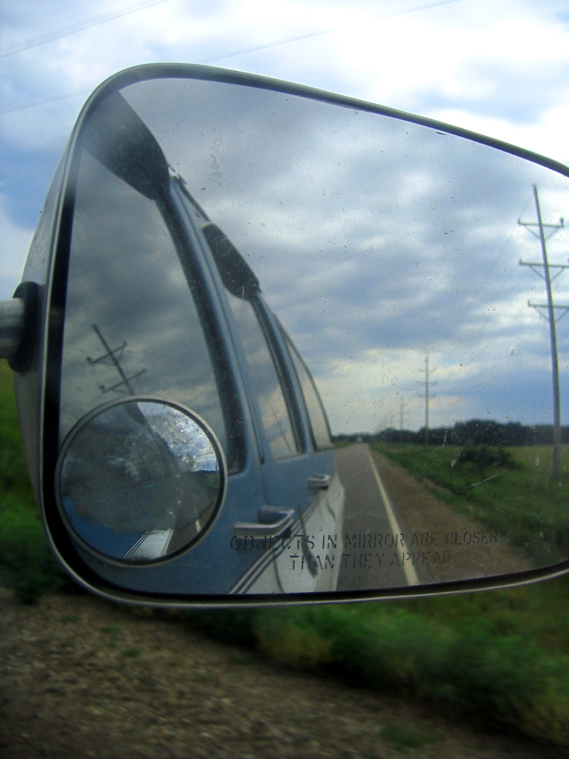
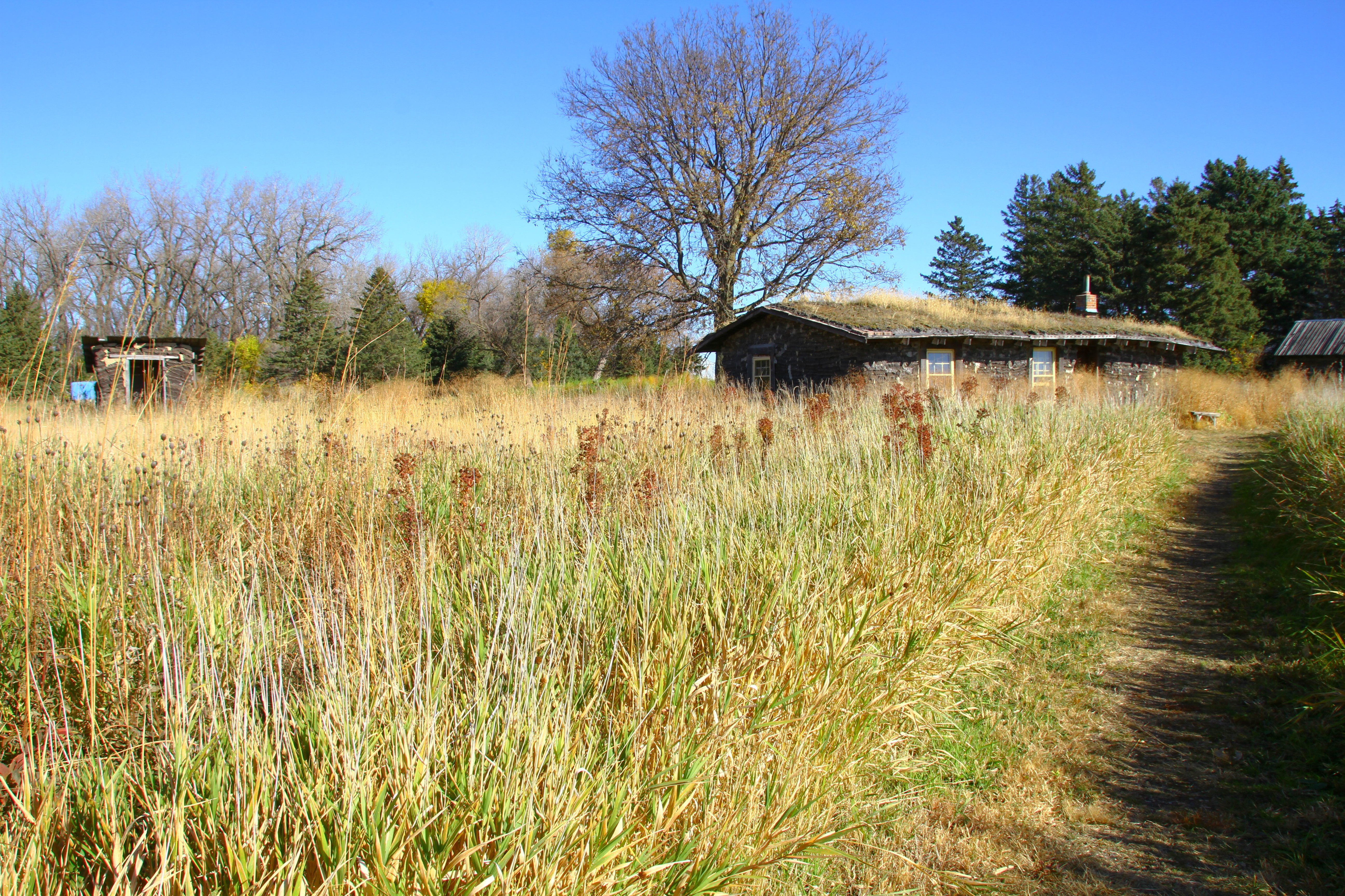
the field

psycho or home improvment?
side view

Viewing the Jeffers Petroglyphs

Trail Maps?

Another drive in liquor place
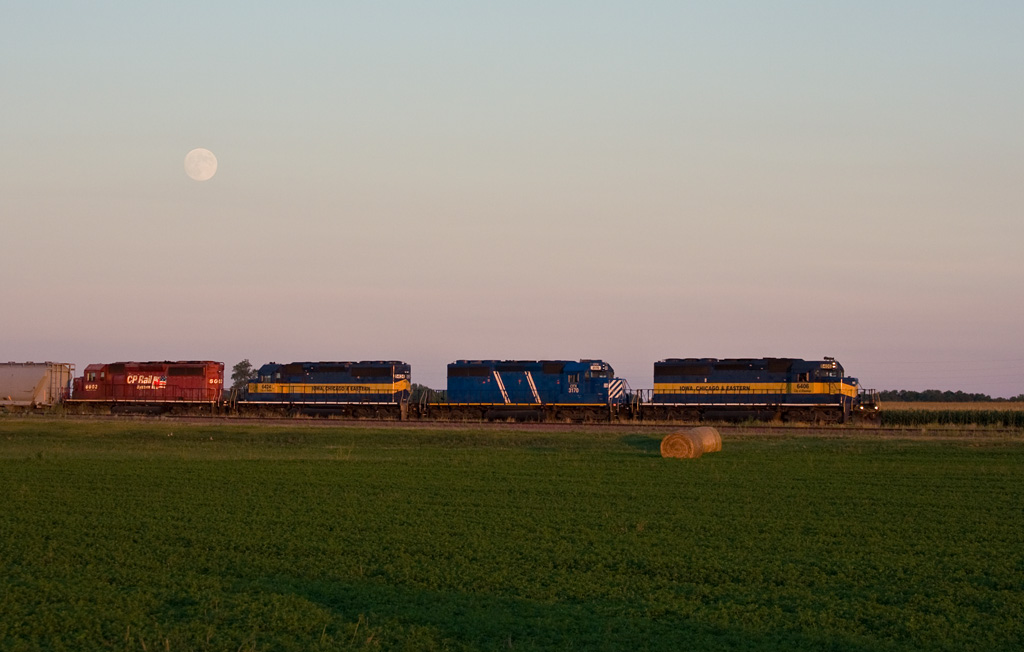
Moonrise; Lamberton, MN

2014-10-25T17_38_19

2014-10-25T17_36_49
feild from front

Road to Blue
2014-10-25T17_40_18

ICE 6423 Lamberton, MN
2014-10-25T17_28_26_v1

burn it to keep warm

Windy Rural Sunset
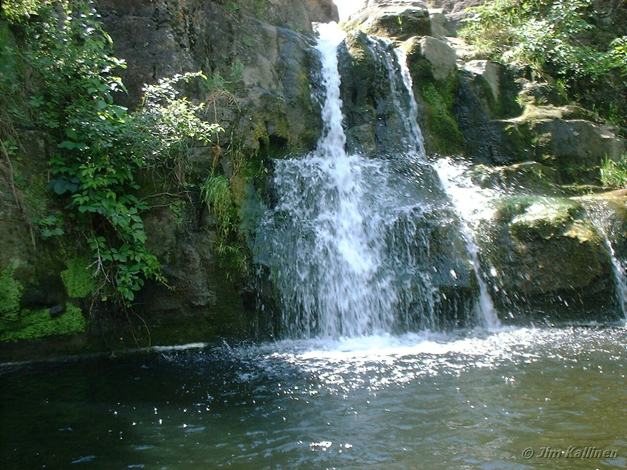
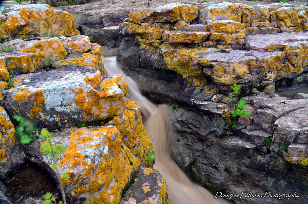
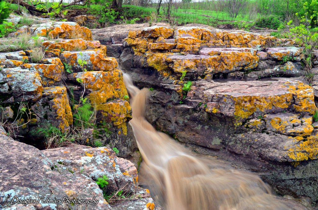
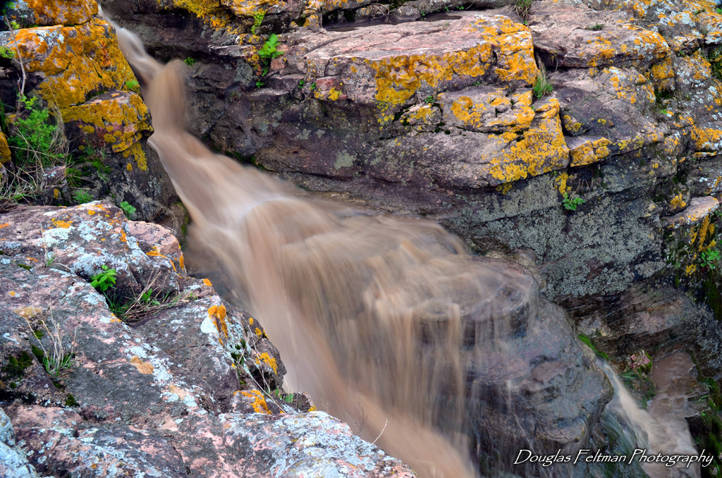
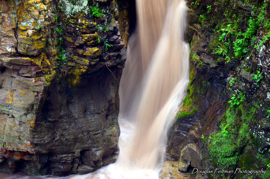
Mound Creek Falls
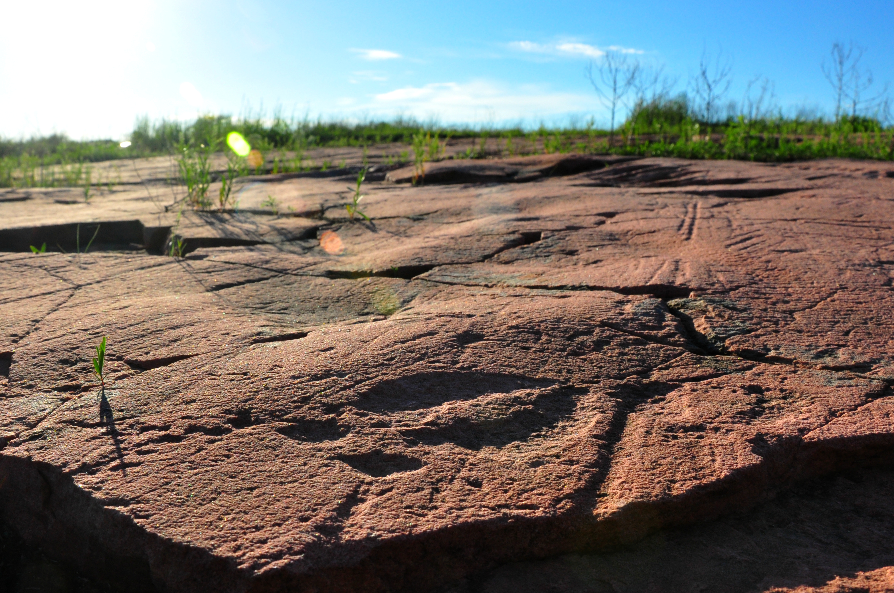
Bison Track
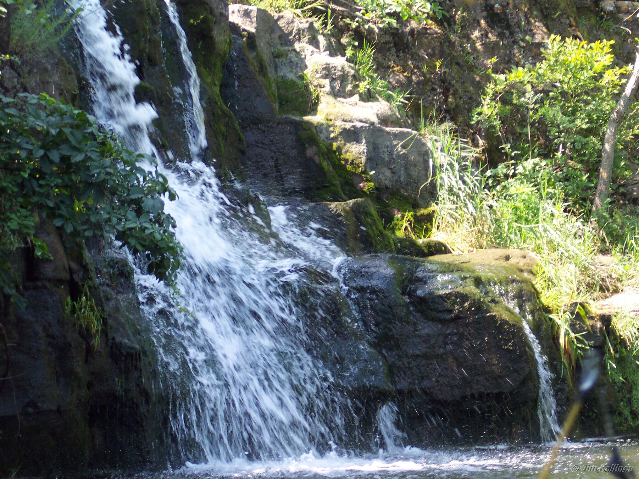
Mound Creek Falls
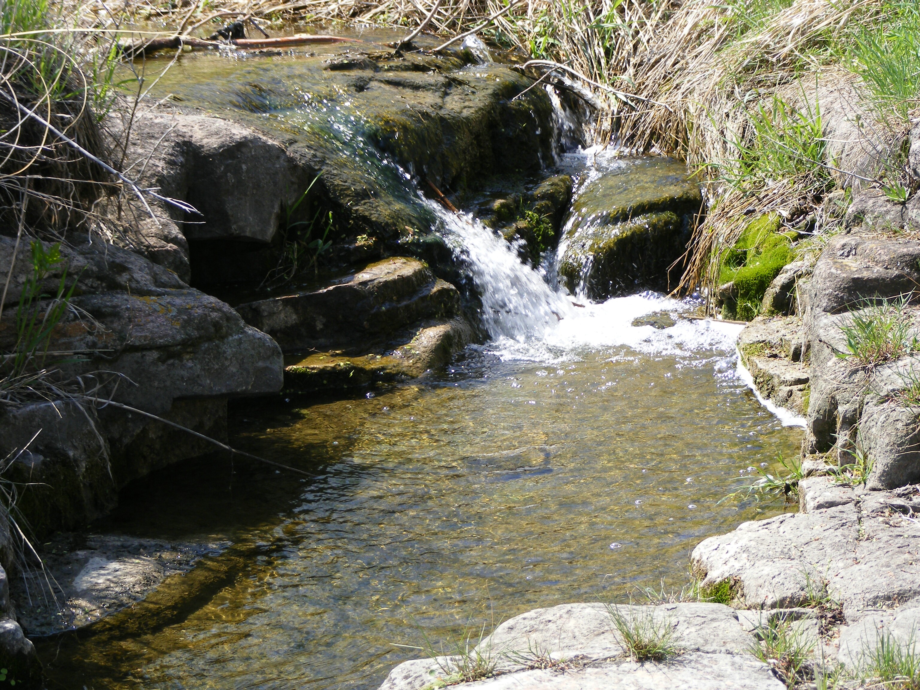
Mound Creek falls

Mound Creek falls
Mound Creek 003
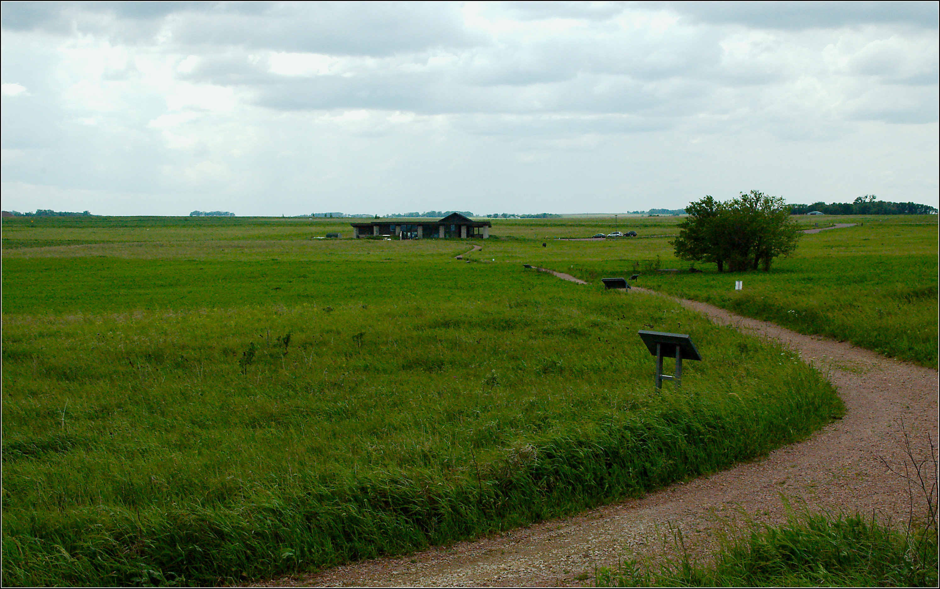
Jeffers Petroglyphs Historic Site
Mound Creek 004
Mound Creek 002
Red Rock Dells 004
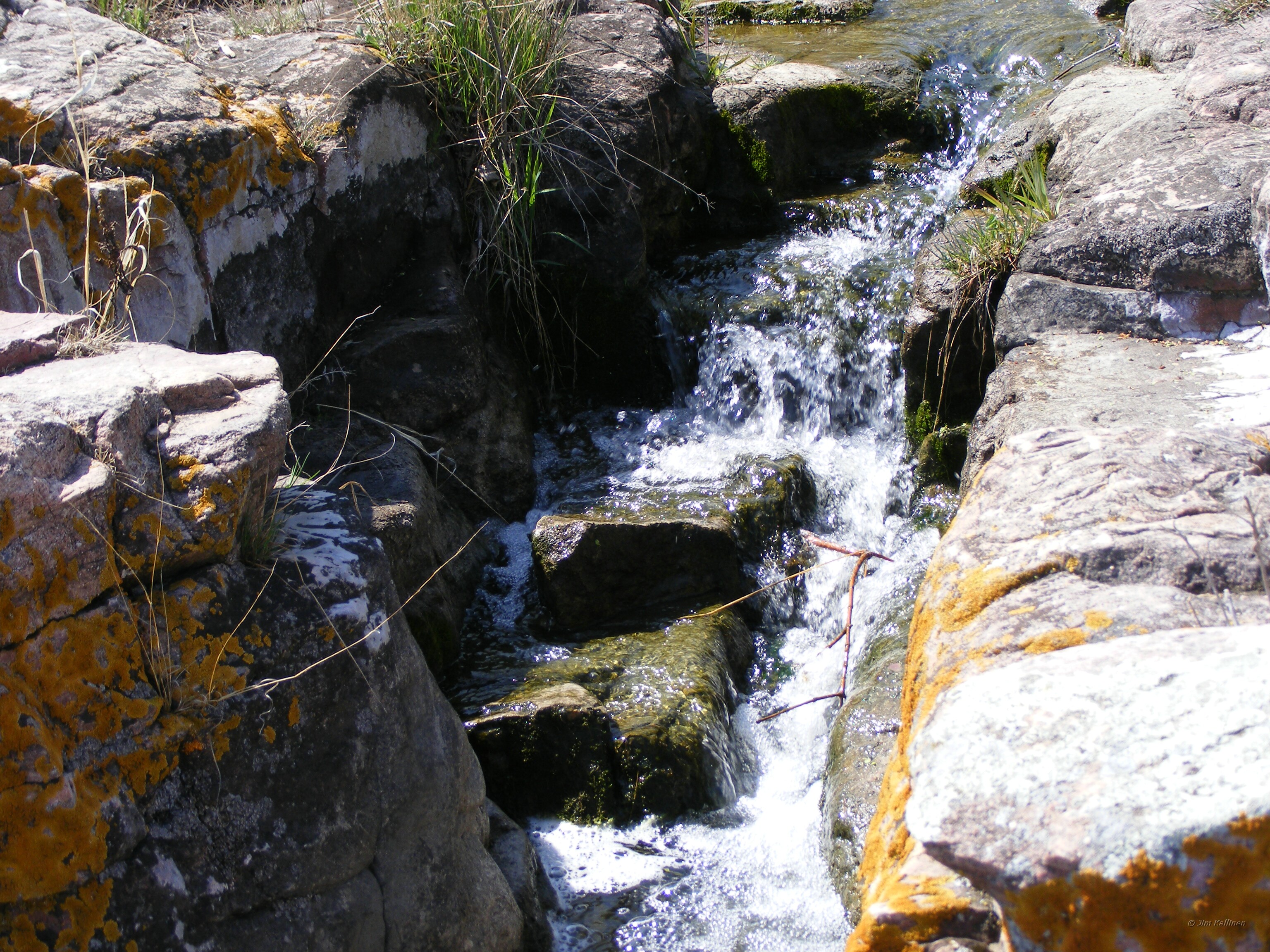
Mound Creek falls
Topographic Map of Sanborn, MN, USA
Find elevation by address:

Places near Sanborn, MN, USA:
12955 Us-71
Willow Lake Township
Lamberton
Lamberton Township
Jeffers
Redwood County
Co Rd 3, Windom, MN, USA
Cottonwood County
Gray St W, Comfrey, MN, USA
406 Paska St
2000 Sweden Ave
Carson Township
2nd Ave, Bingham Lake, MN, USA
Bingham Lake
315 E Tin St
th St, Evan, MN, USA
Co Rd 24, Sleepy Eye, MN, USA
Redwood Falls
1220 June Ct
10th St N, Mountain Lake, MN, USA
Recent Searches:
- Elevation of Bydgoszcz, Poland
- Elevation of Bydgoszcz, Poland
- Elevation of Calais Dr, Del Mar, CA, USA
- Elevation of Placer Mine Ln, West Jordan, UT, USA
- Elevation of E 63rd St, New York, NY, USA
- Elevation of Elk City, OK, USA
- Elevation of Erika Dr, Windsor, CA, USA
- Elevation of Village Ln, Finleyville, PA, USA
- Elevation of 24 Oakland Rd #, Scotland, ON N0E 1R0, Canada
- Elevation of Deep Gap Farm Rd E, Mill Spring, NC, USA