Elevation of Lamberton, MN, USA
Location: United States > Minnesota > Redwood County > Lamberton Township >
Longitude: -95.264163
Latitude: 44.2310676
Elevation: 347m / 1138feet
Barometric Pressure: 97KPa
Elevation Map:
Satellite Map:
Related Photos:

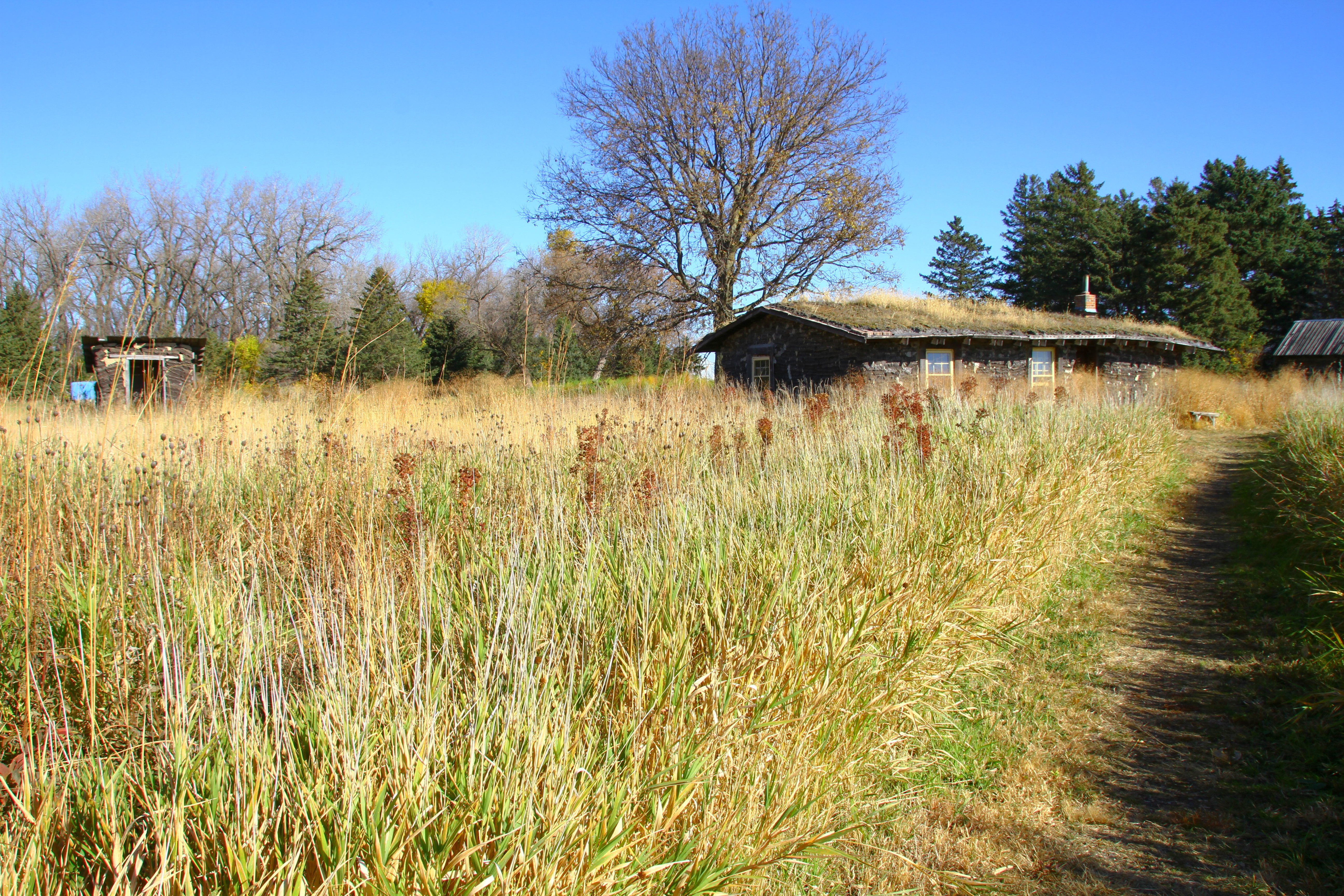
the field

psycho or home improvment?
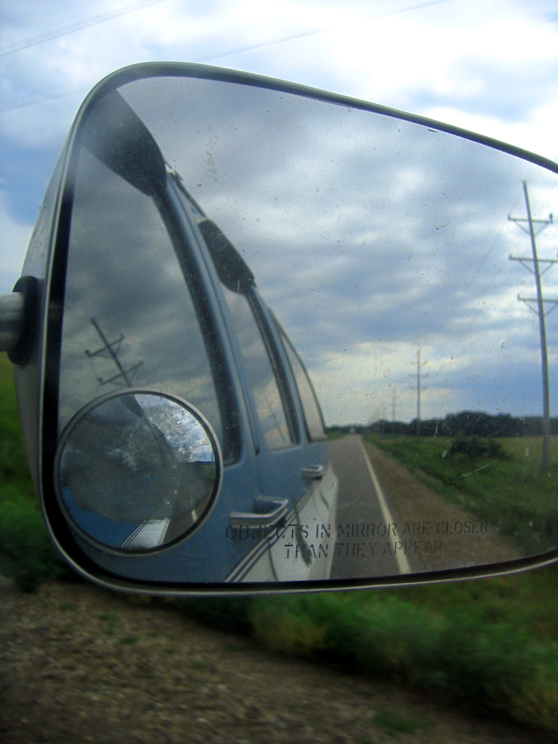
side view

2014-10-25T17_38_19
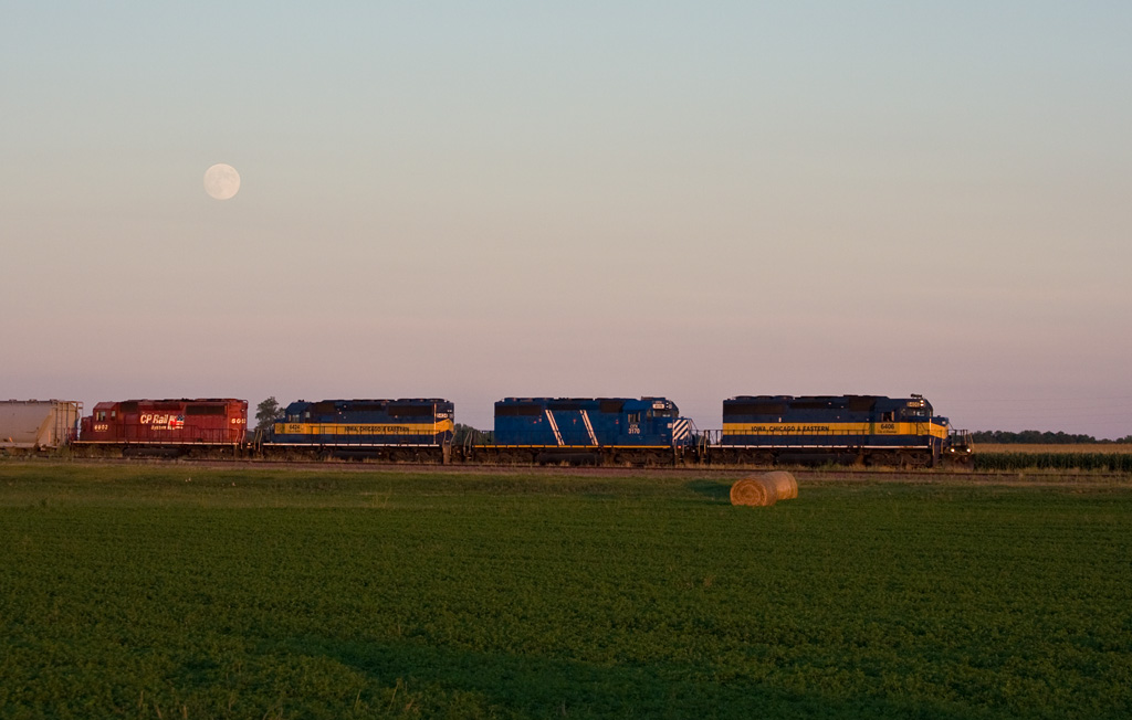
Moonrise; Lamberton, MN

2014-10-25T17_36_49
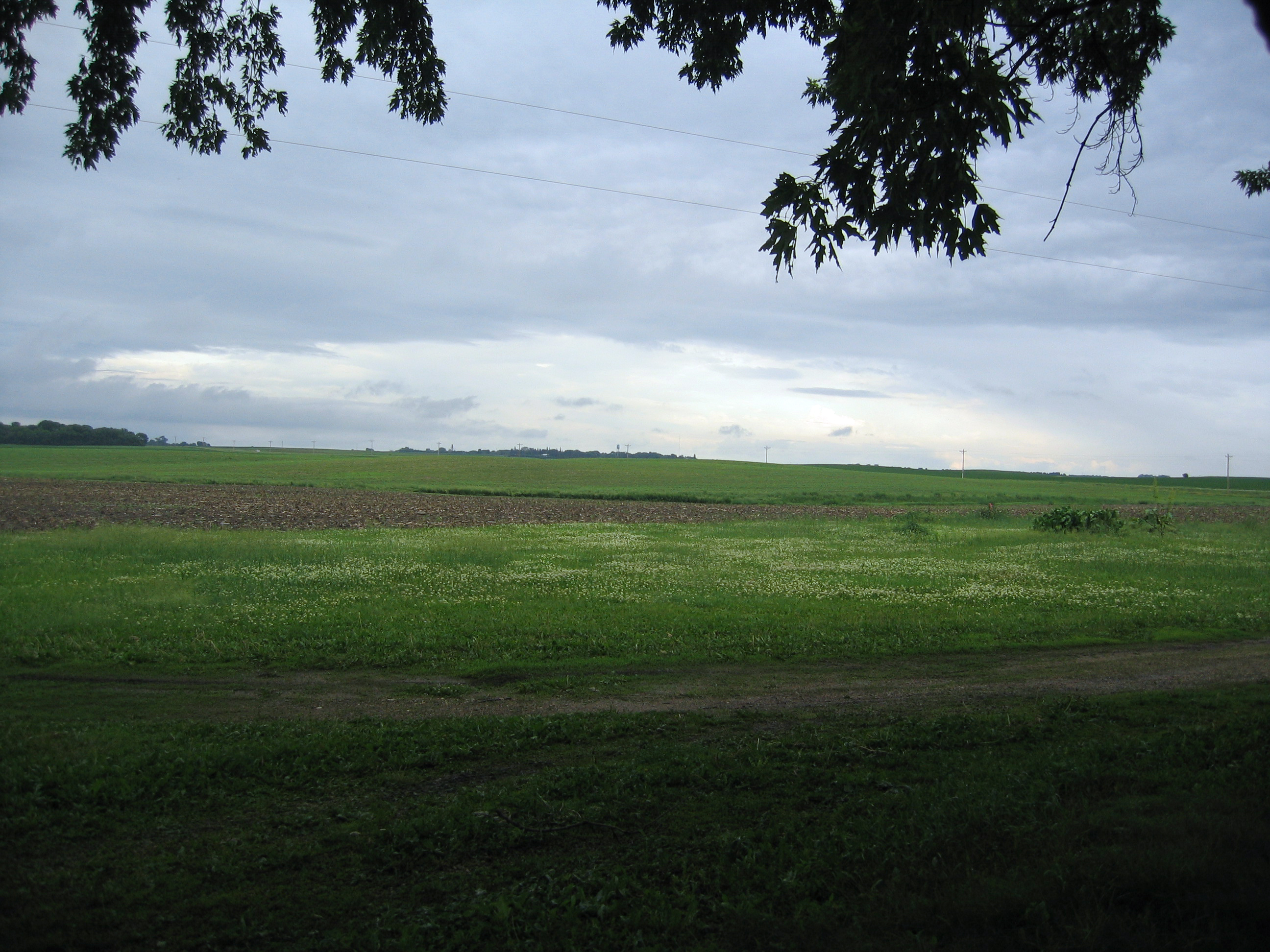
feild from front

Road to Blue
2014-10-25T17_40_18

ICE 6423 Lamberton, MN
2014-10-25T17_28_26_v1

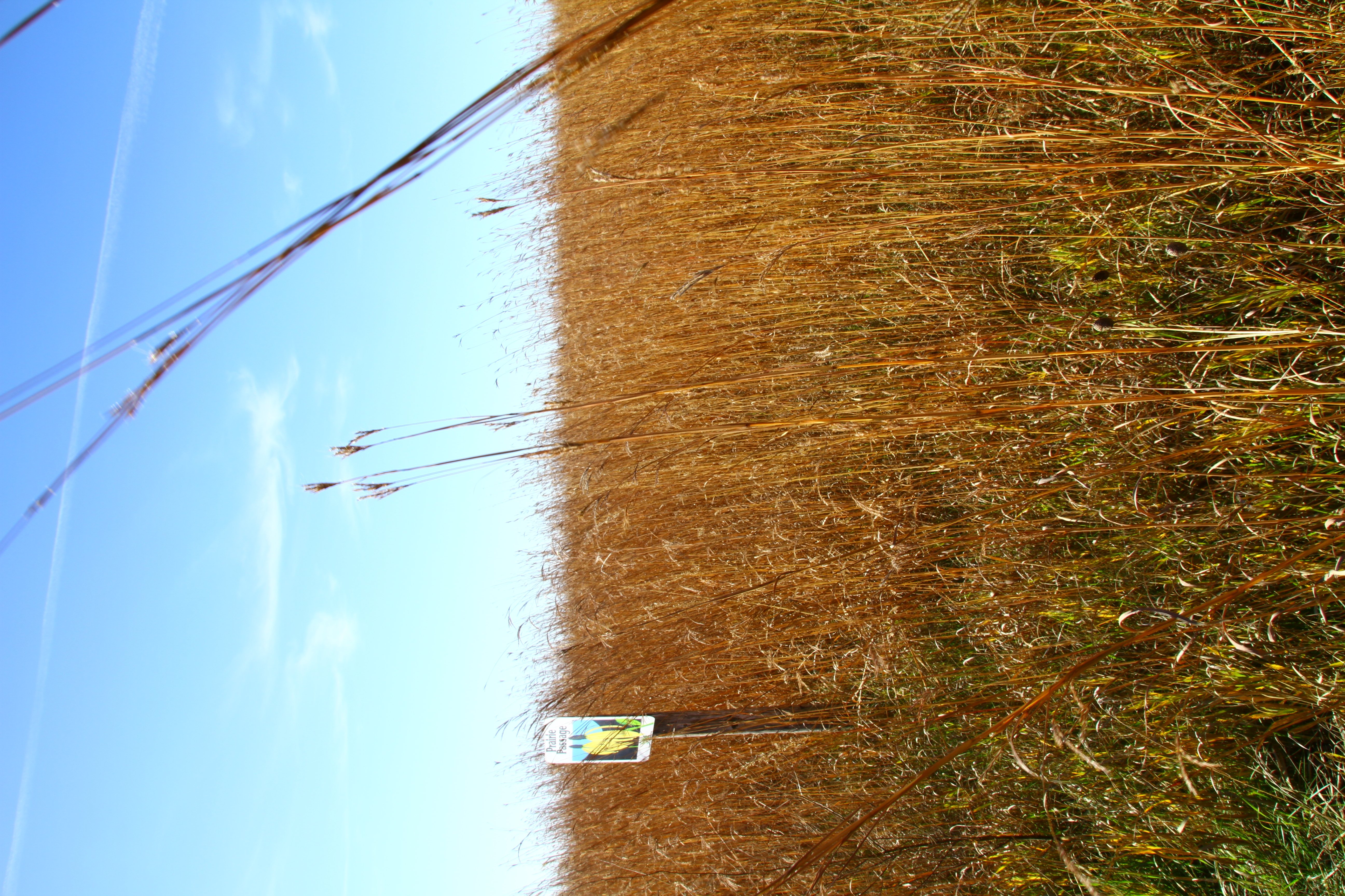
burn it to keep warm
Topographic Map of Lamberton, MN, USA
Find elevation by address:

Places near Lamberton, MN, USA:
Lamberton Township
Redwood County
12955 Us-71
Sanborn
Willow Lake Township
Jeffers
Cottonwood County
406 Paska St
2000 Sweden Ave
Springdale Township
12211 110th St
Co Rd 3, Windom, MN, USA
315 E Tin St
Redwood Falls
Cherry St, Milroy, MN, USA
Carson Township
1220 June Ct
Gray St W, Comfrey, MN, USA
Windom
2nd Ave, Bingham Lake, MN, USA
Recent Searches:
- Elevation of Foligno, Province of Perugia, Italy
- Elevation of Blauwestad, Netherlands
- Elevation of Bella Terra Blvd, Estero, FL, USA
- Elevation of Estates Loop, Priest River, ID, USA
- Elevation of Woodland Oak Pl, Thousand Oaks, CA, USA
- Elevation of Brownsdale Rd, Renfrew, PA, USA
- Elevation of Corcoran Ln, Suffolk, VA, USA
- Elevation of Mamala II, Sariaya, Quezon, Philippines
- Elevation of Sarangdanda, Nepal
- Elevation of 7 Waterfall Way, Tomball, TX, USA