Elevation of US-71, Sanborn, MN, USA
Location: United States > Minnesota > Redwood County > Sanborn >
Longitude: -95.127721
Latitude: 44.2379271
Elevation: 333m / 1093feet
Barometric Pressure: 97KPa
Elevation Map:
Satellite Map:
Related Photos:

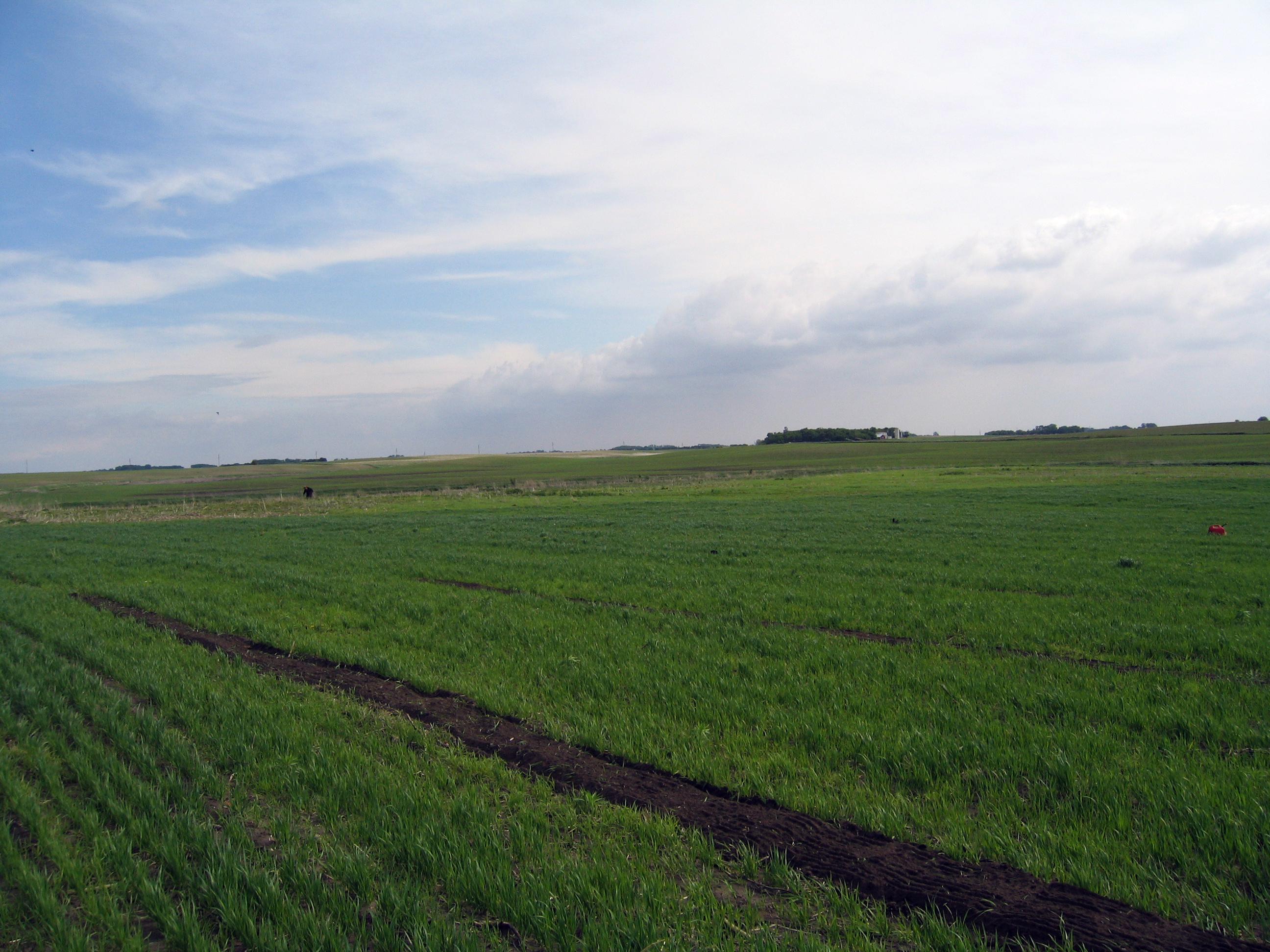
the field
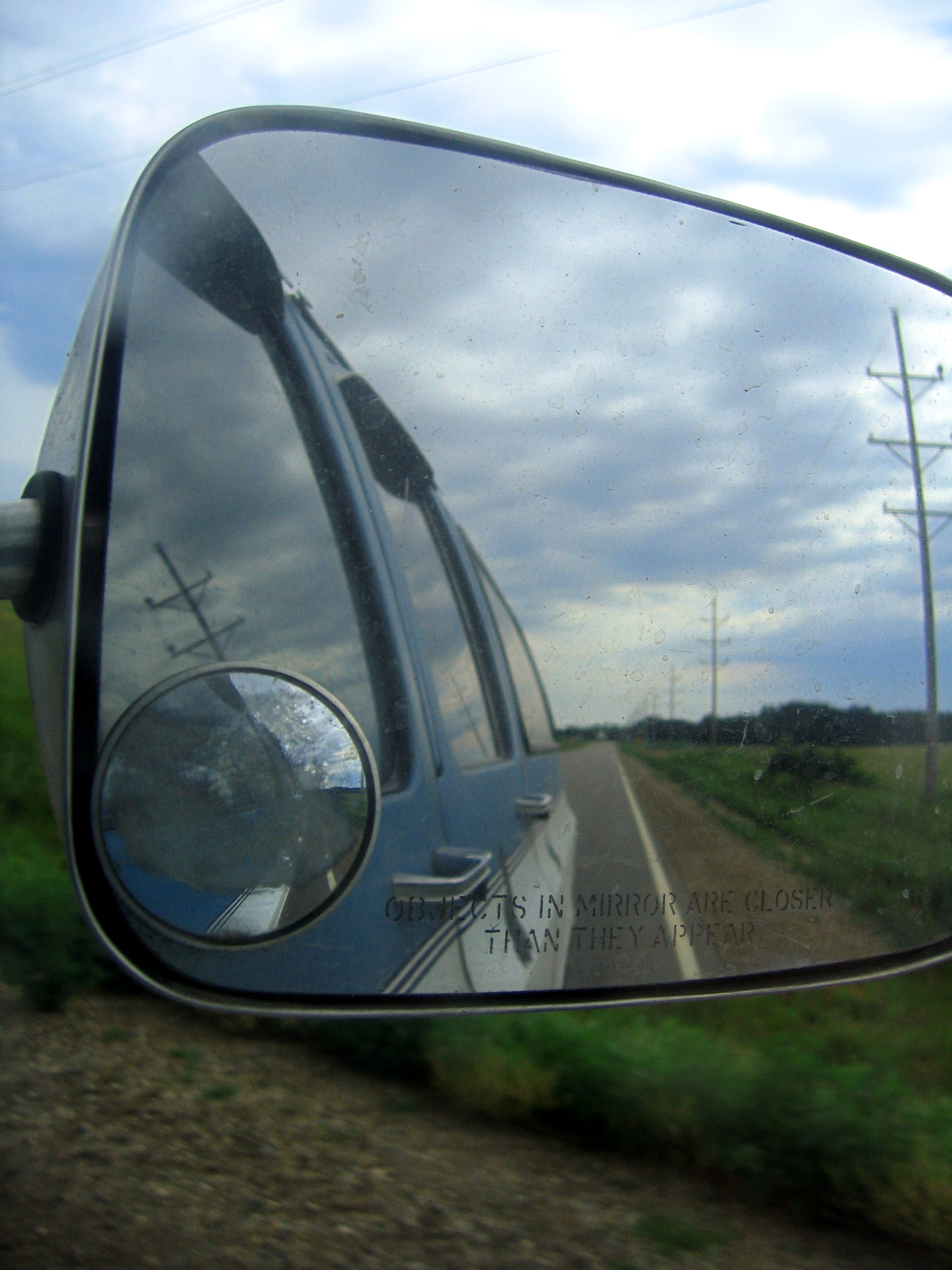
side view
good morning
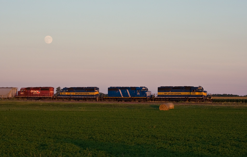
Moonrise; Lamberton, MN
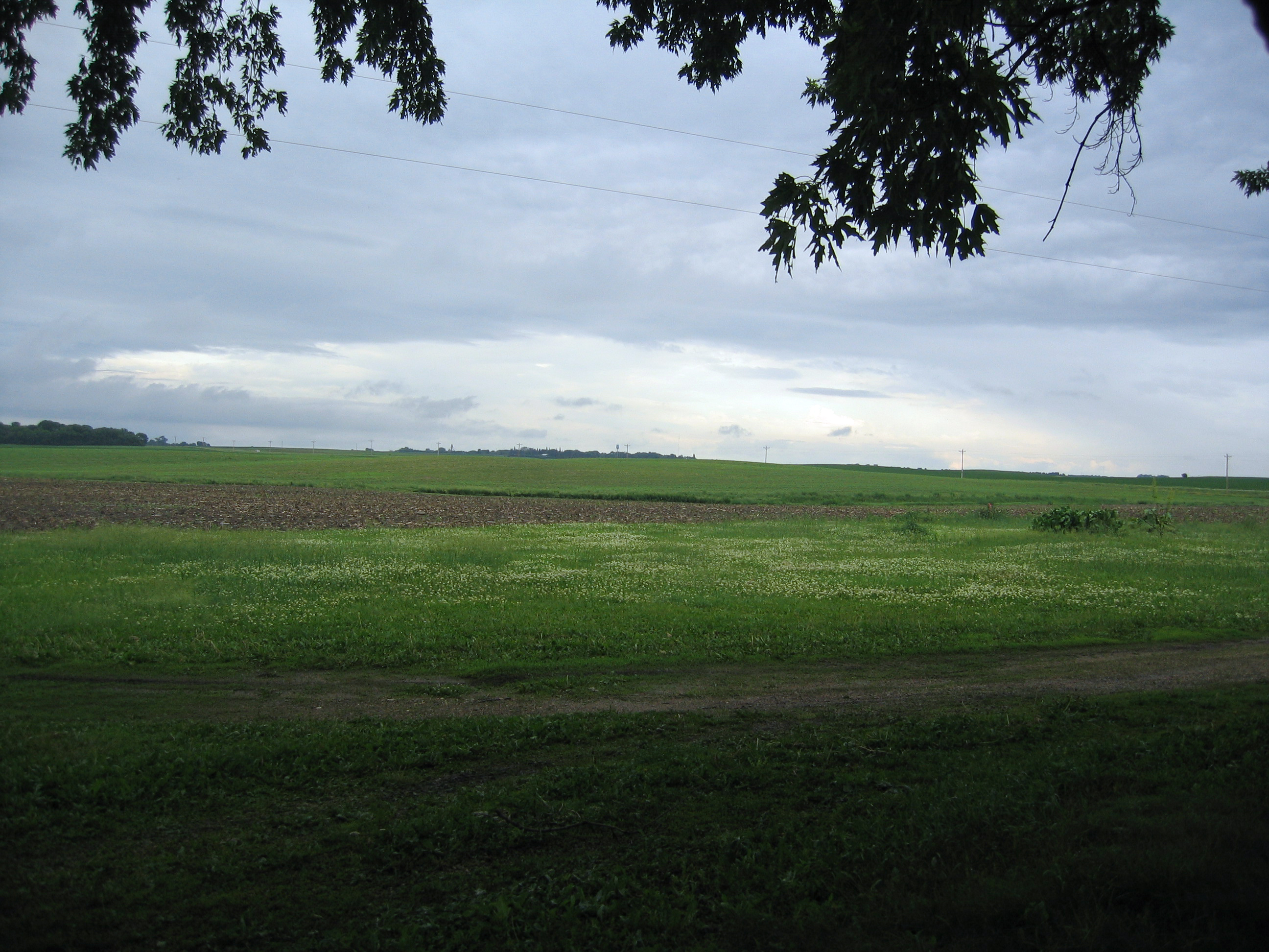
feild from front
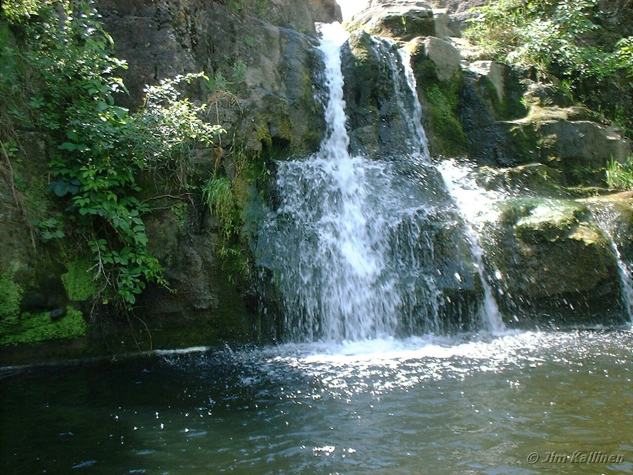
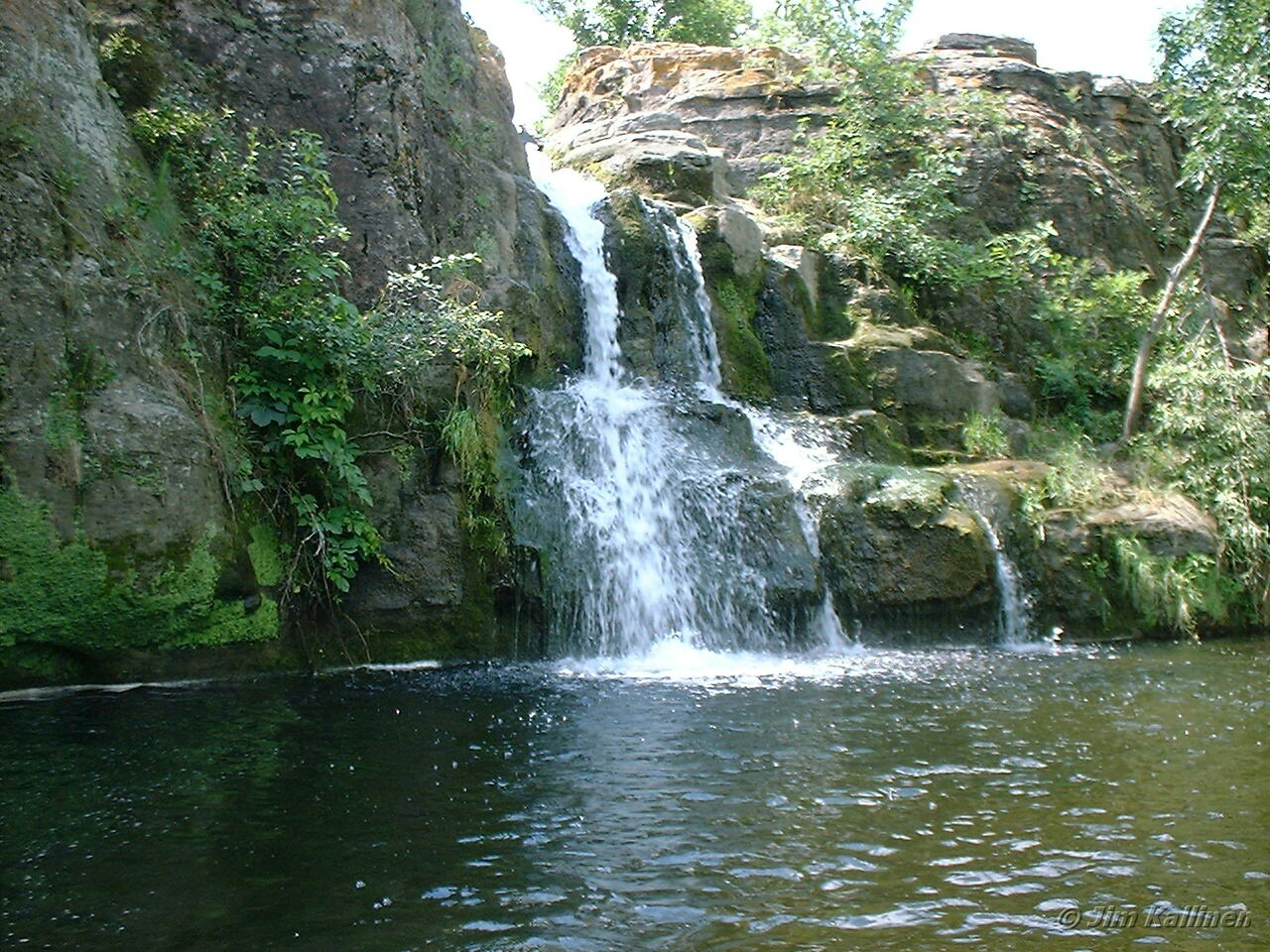
Mound Creek Falls

Mound Creek falls

2014-10-25T17_38_19

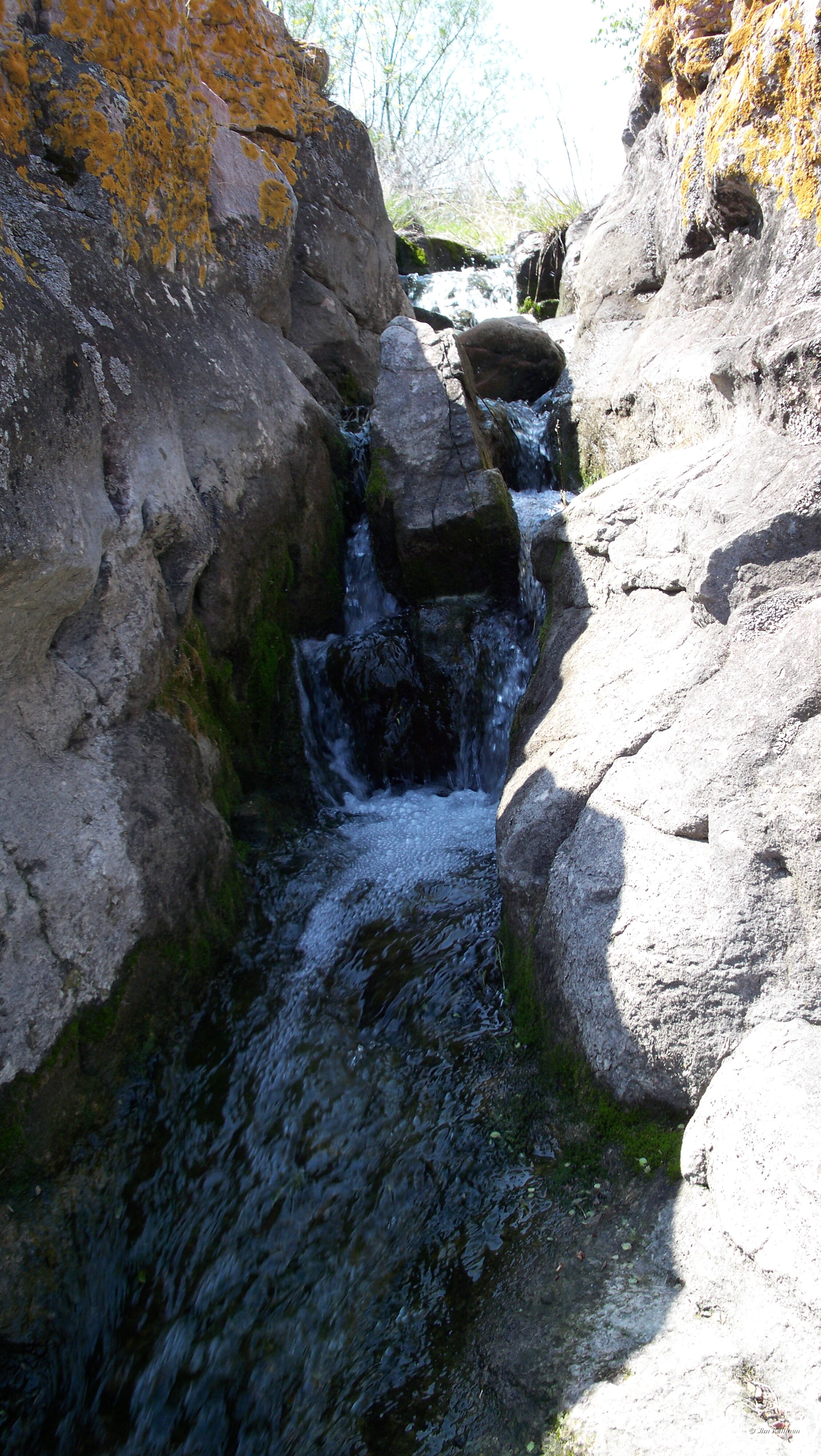
Mound Creek 003

Mound Creek Falls

2014-10-25T17_36_49

Mound Creek 004

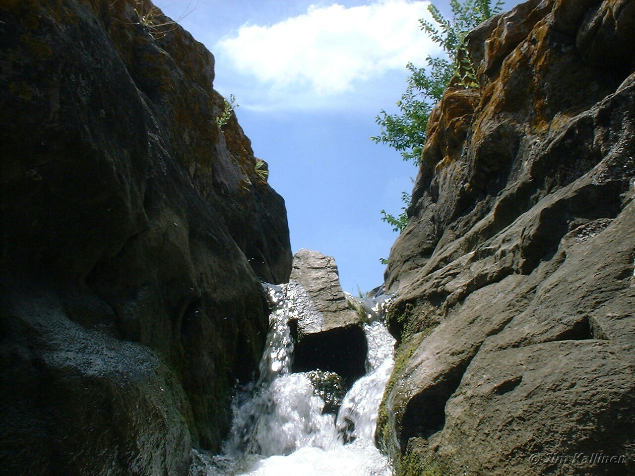
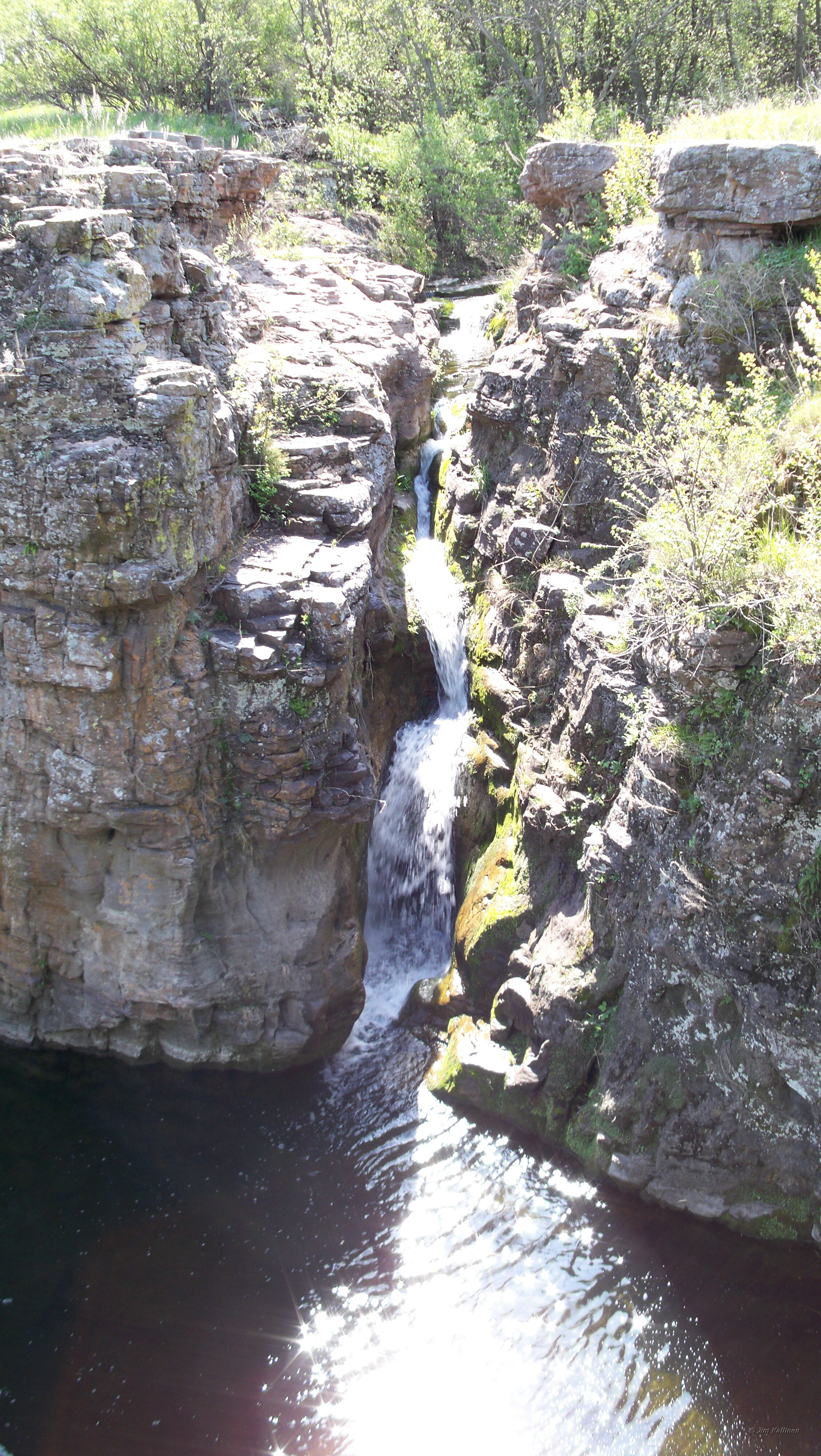
Red Rock Dells falls
Mound Creek falls

Red Rock Dells 004
Mound Creek Falls
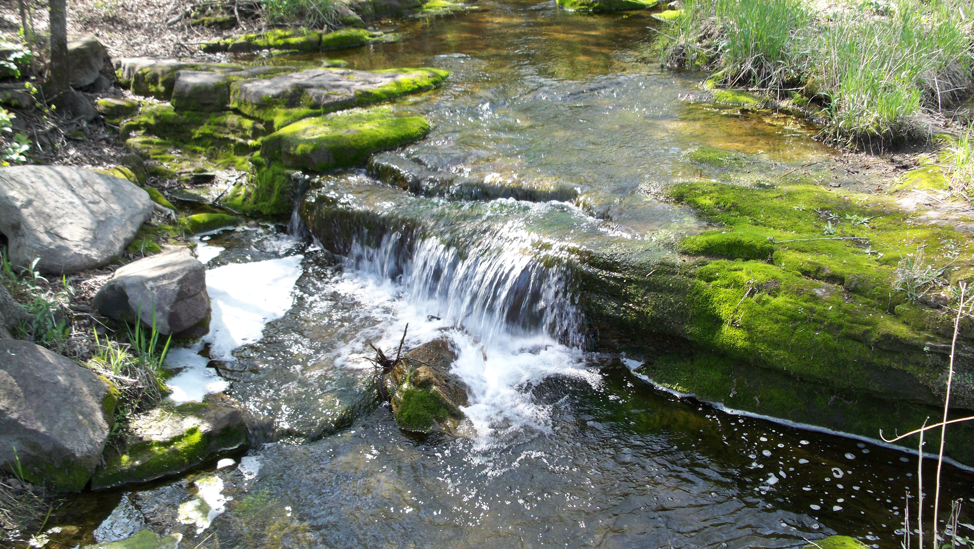
Mound Creek falls

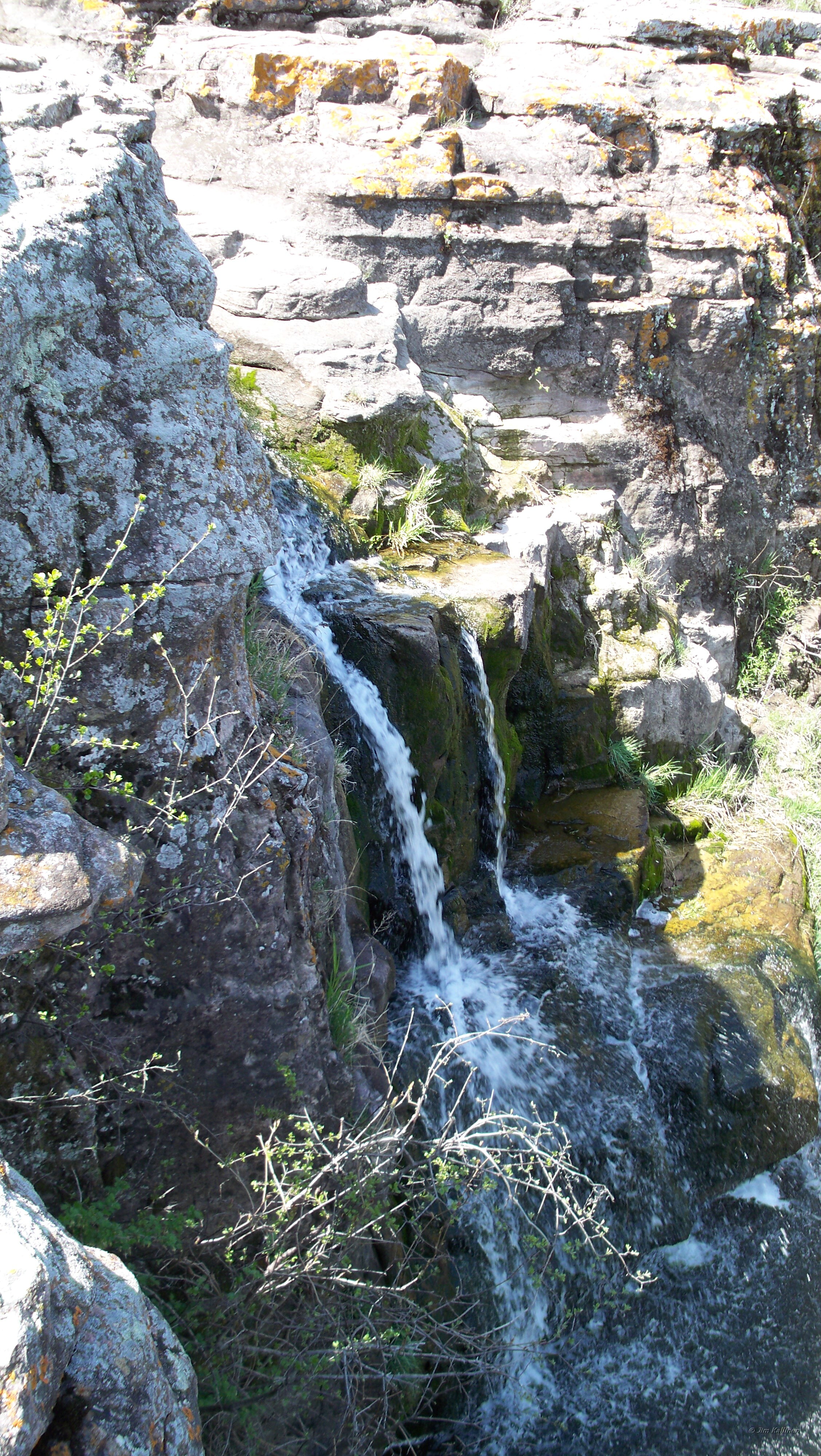
Mound Creek 001
Mound Creek Falls
Red Rock Dells falls

Road to Blue
Red Rock Dells falls

ICE 6423 Lamberton, MN
Topographic Map of US-71, Sanborn, MN, USA
Find elevation by address:

Places near US-71, Sanborn, MN, USA:
Sanborn
Willow Lake Township
Lamberton
Lamberton Township
Jeffers
Redwood County
Gray St W, Comfrey, MN, USA
Co Rd 3, Windom, MN, USA
Cottonwood County
406 Paska St
2000 Sweden Ave
Carson Township
315 E Tin St
Redwood Falls
th St, Evan, MN, USA
Reservation Highway 101
Co Rd 24, Sleepy Eye, MN, USA
2nd Ave, Bingham Lake, MN, USA
Bingham Lake
Co Rd 2, Redwood Falls, MN, USA
Recent Searches:
- Elevation of 62 Abbey St, Marshfield, MA, USA
- Elevation of Fernwood, Bradenton, FL, USA
- Elevation of Felindre, Swansea SA5 7LU, UK
- Elevation of Leyte Industrial Development Estate, Isabel, Leyte, Philippines
- Elevation of W Granada St, Tampa, FL, USA
- Elevation of Pykes Down, Ivybridge PL21 0BY, UK
- Elevation of Jalan Senandin, Lutong, Miri, Sarawak, Malaysia
- Elevation of Bilohirs'k
- Elevation of 30 Oak Lawn Dr, Barkhamsted, CT, USA
- Elevation of Luther Road, Luther Rd, Auburn, CA, USA