Elevation of Gray St W, Comfrey, MN, USA
Location: United States > Minnesota > Brown County >
Longitude: -94.904977
Latitude: 44.1107841
Elevation: 344m / 1129feet
Barometric Pressure: 97KPa
Elevation Map:
Satellite Map:
Related Photos:

Another drive in liquor place

Windy Rural Sunset
Bison Track
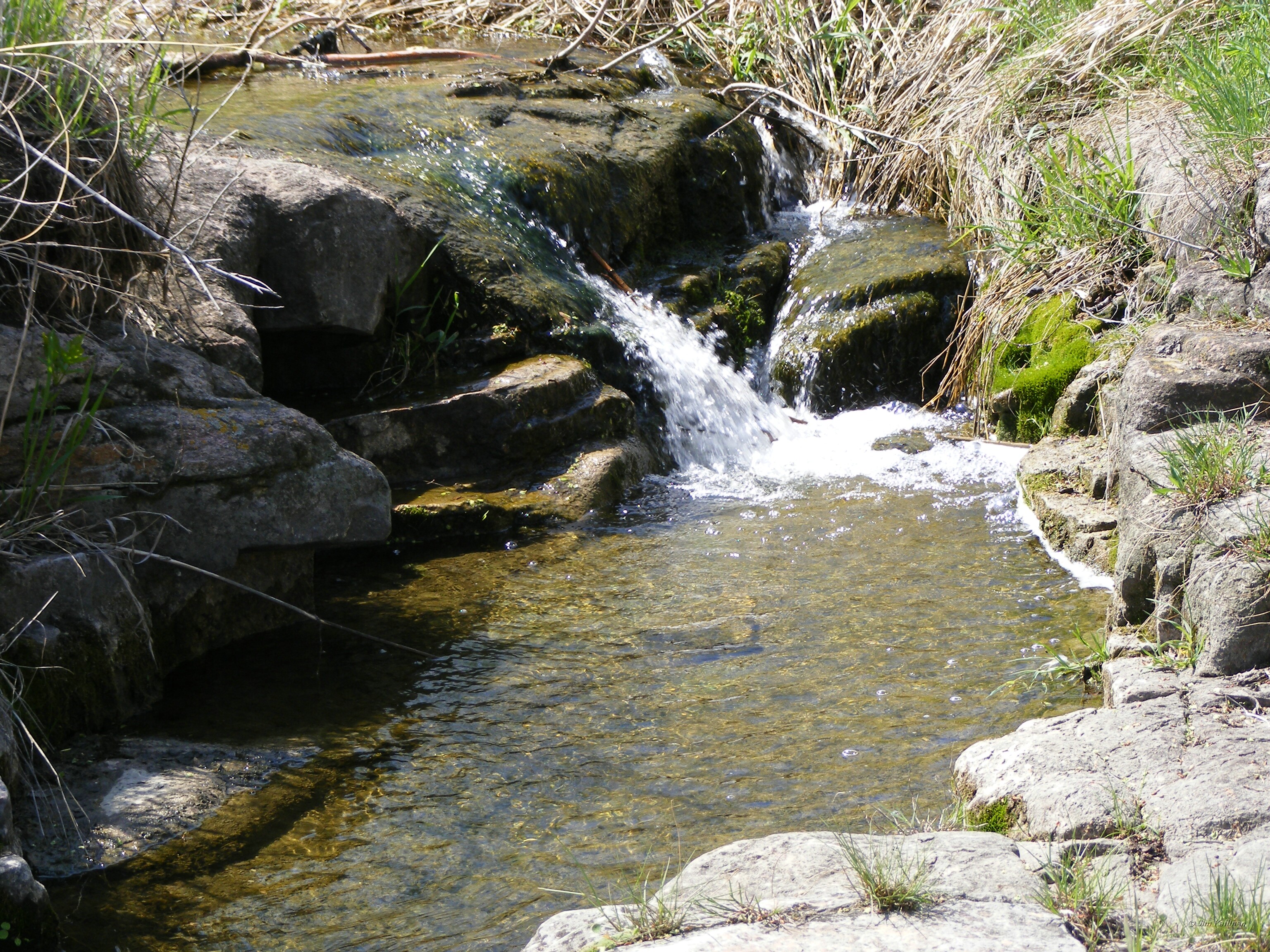
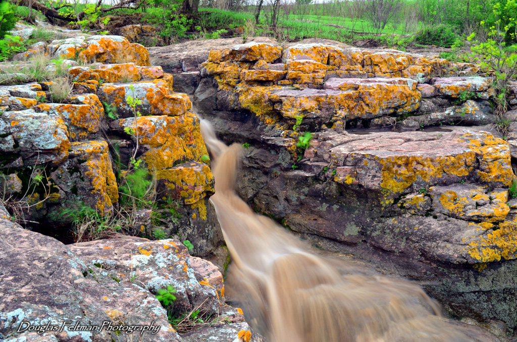
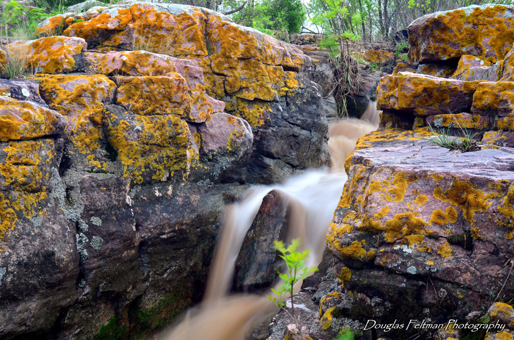
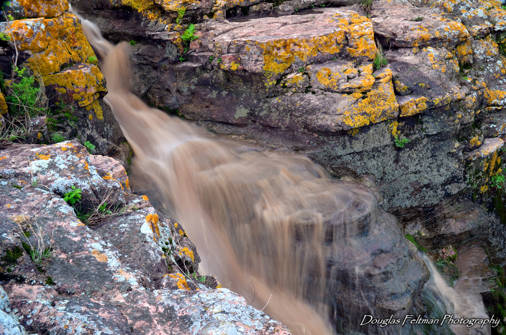
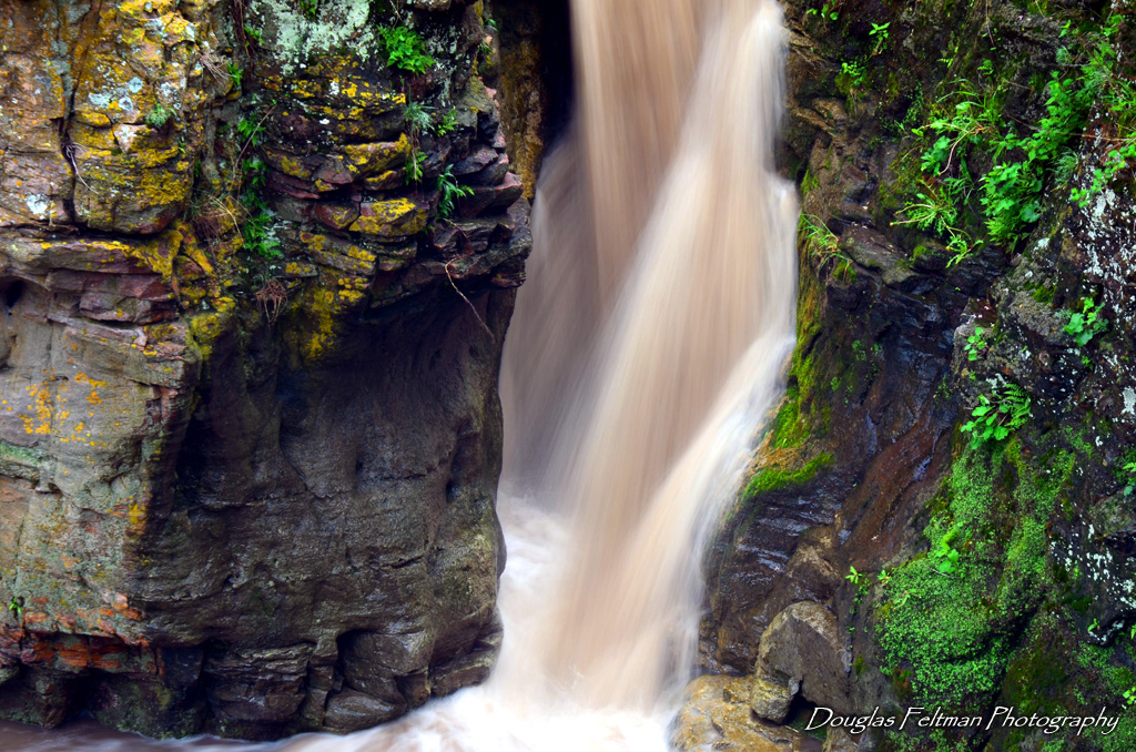
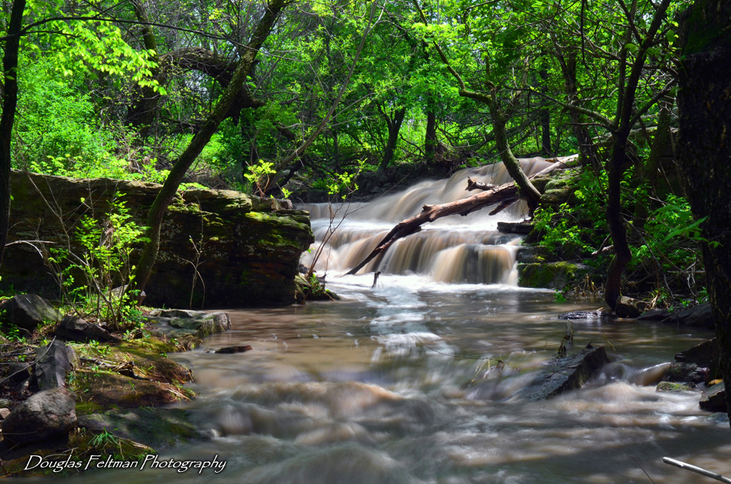
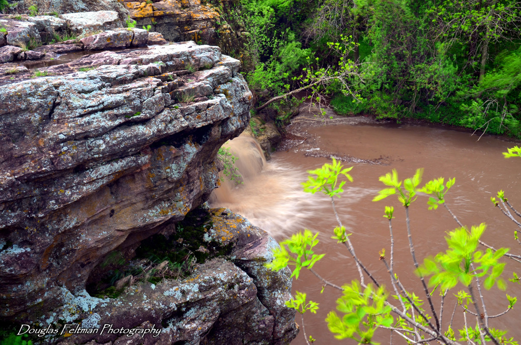
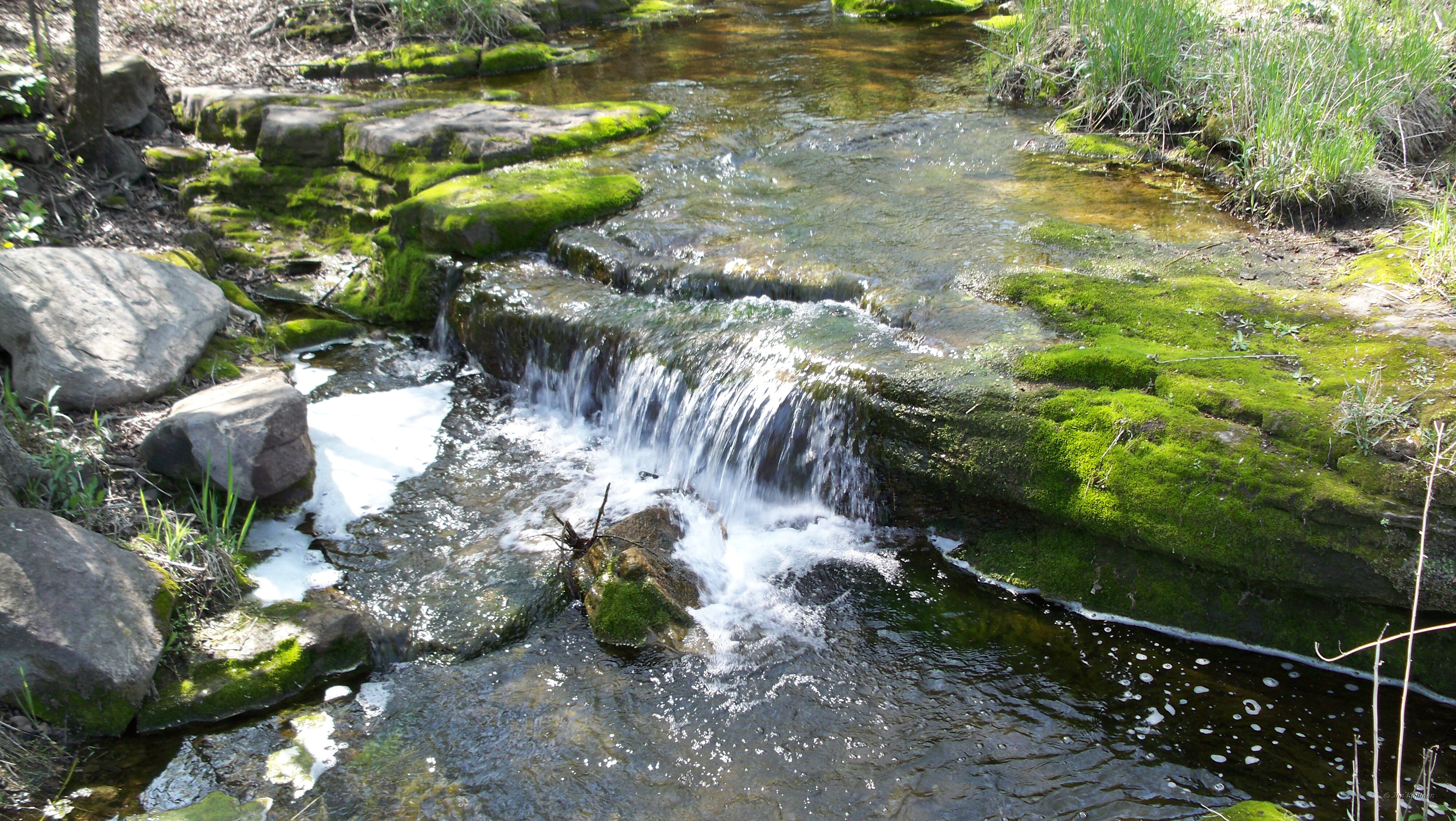
Mound Creek falls

Mound Creek falls
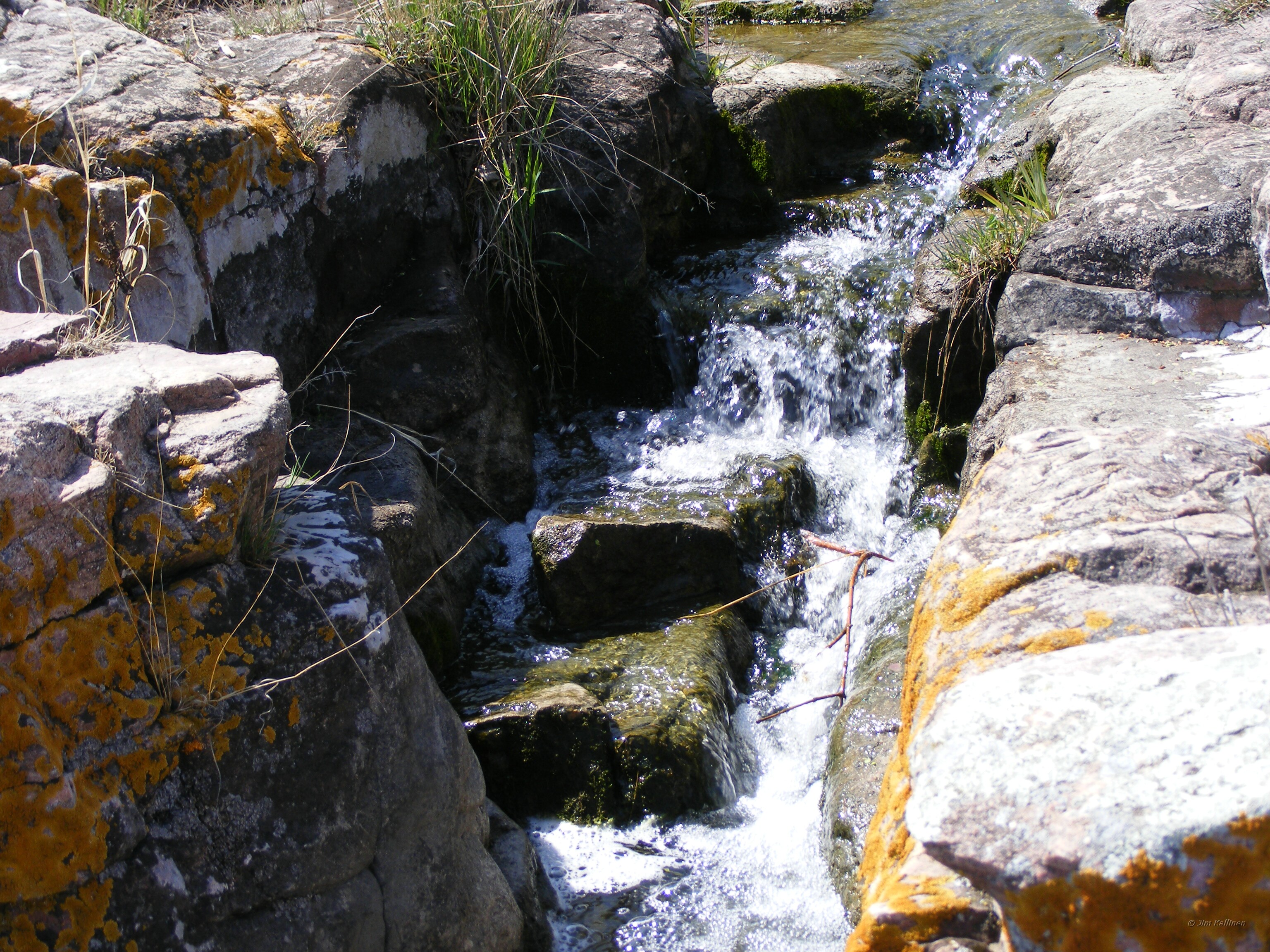
Mound Creek 003
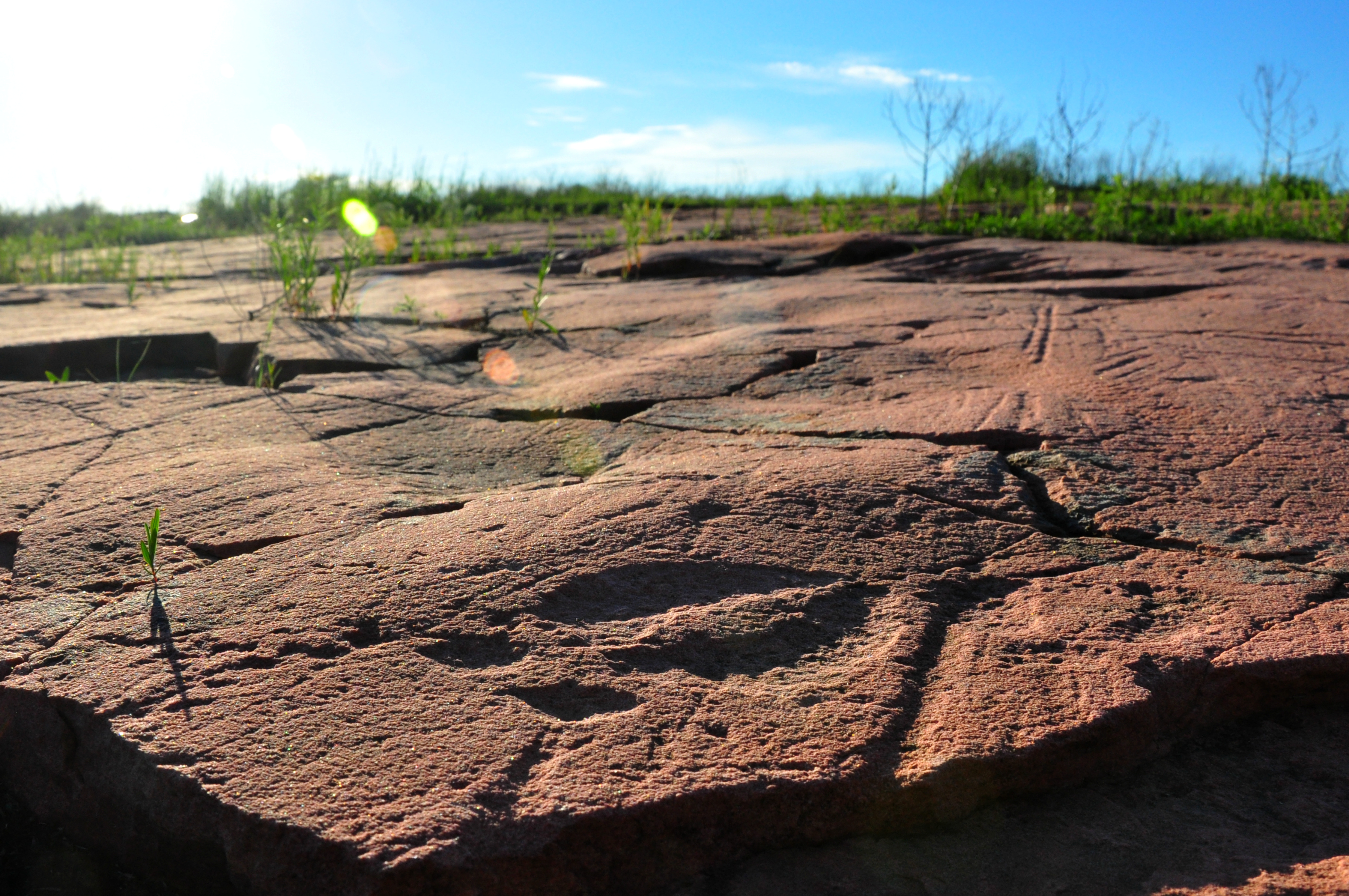
Jeffers Petroglyphs Historic Site
Mound Creek 004
Mound Creek falls
Mound Creek 006
Mound Creek 002
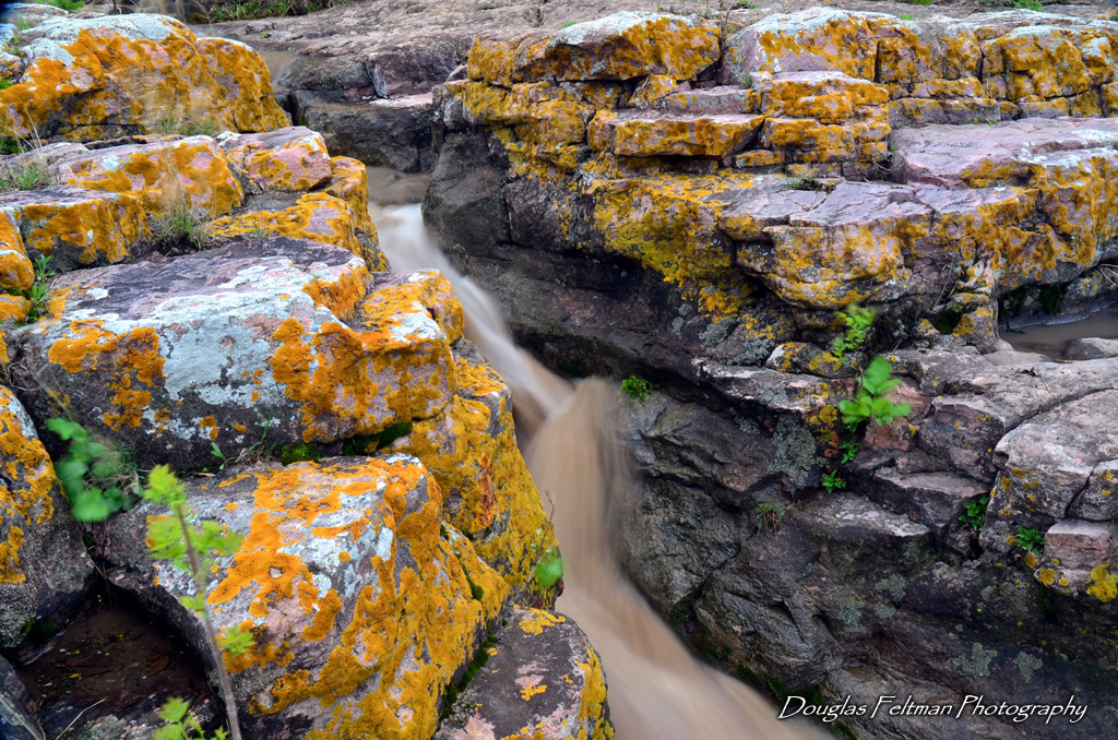
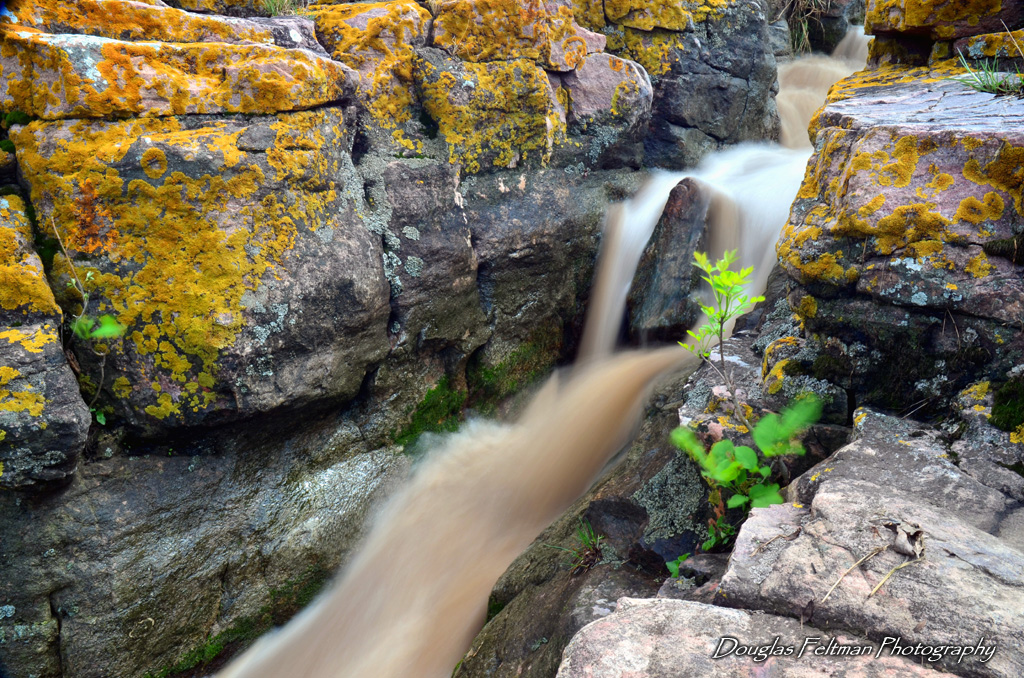
Red Rock Dells 004
Mound Creek falls
Mound Creek 005
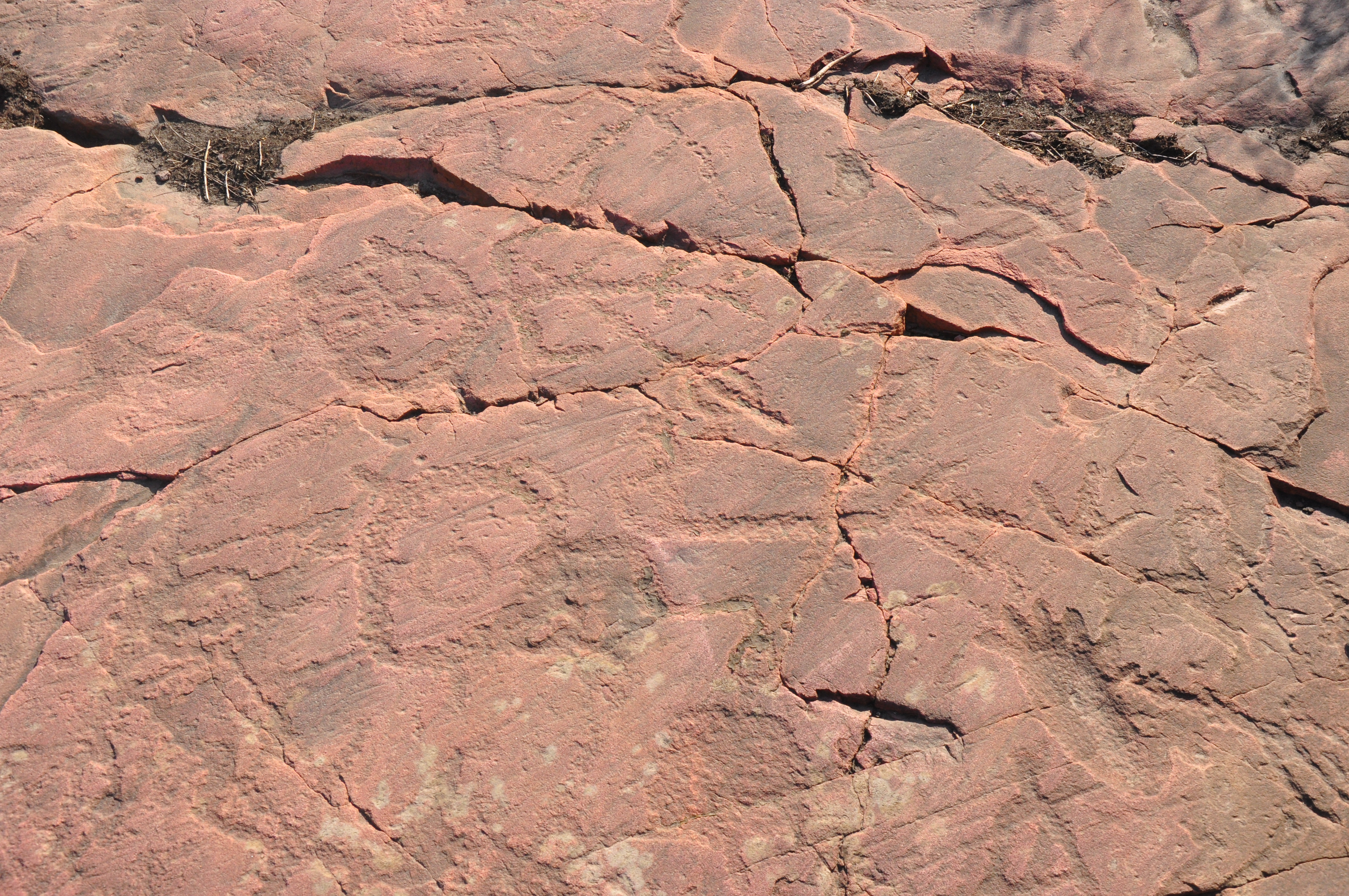
Stick Figures with Spear
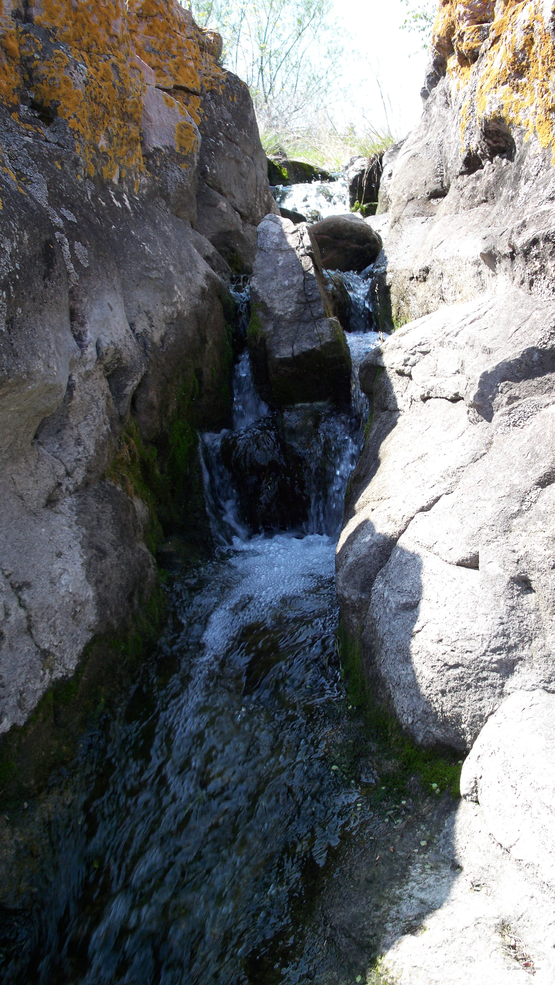
Mound Creek falls

Little Cottonwood River

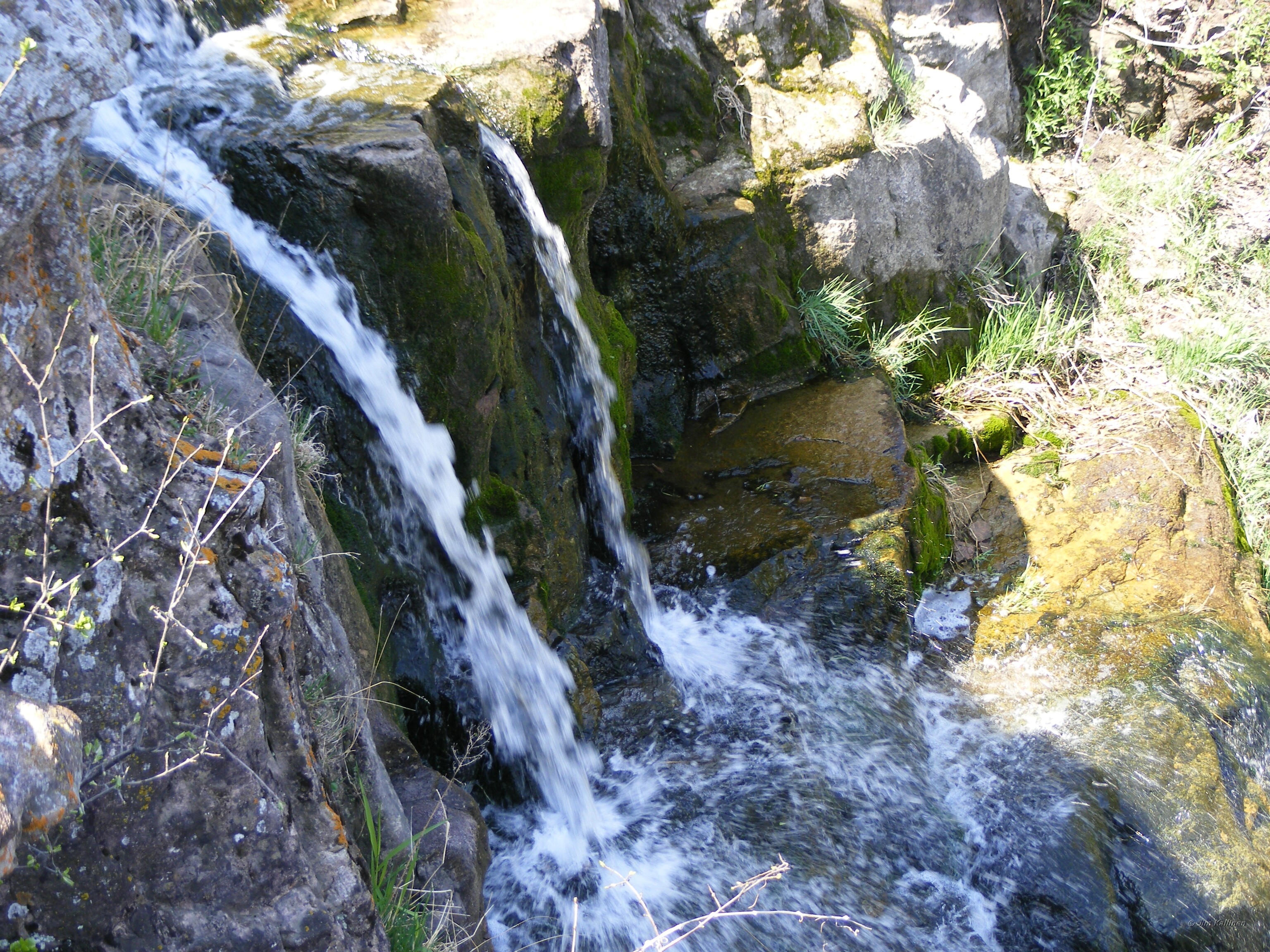
Red Rock Dells falls
Red Rock Dells 007
Mound Creek 001
Red Rock Dells falls
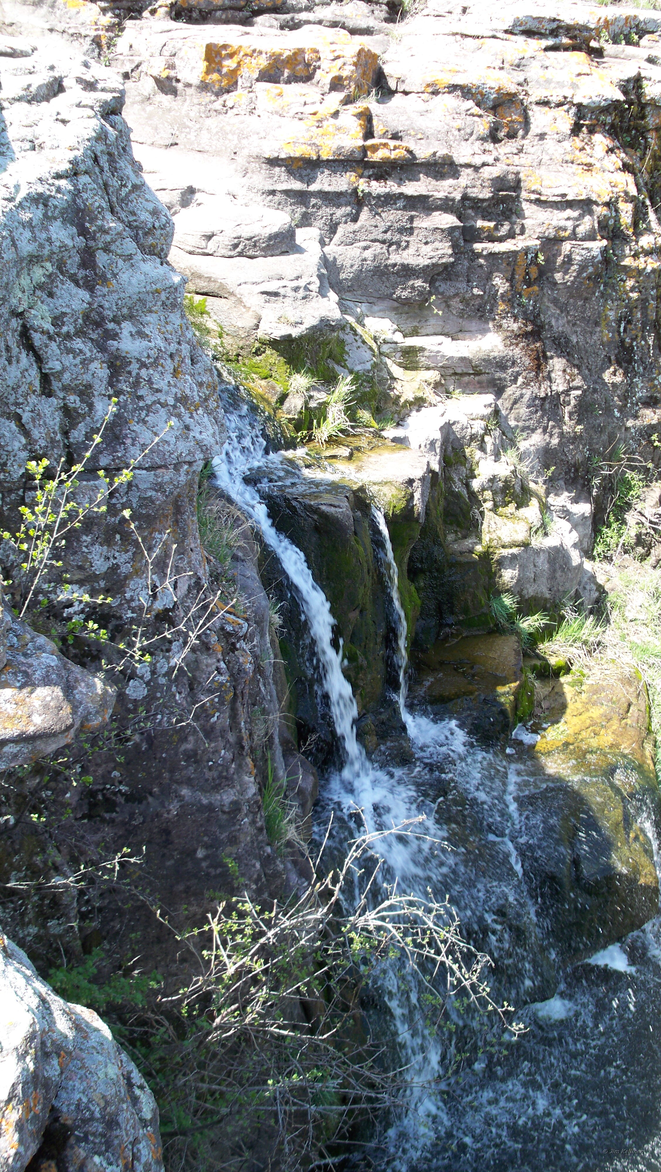
Mound Creek falls
Topographic Map of Gray St W, Comfrey, MN, USA
Find elevation by address:

Places near Gray St W, Comfrey, MN, USA:
Co Rd 24, Sleepy Eye, MN, USA
10th St N, Mountain Lake, MN, USA
Mountain Lake
Carson Township
680th Avenue
Co Rd 3, Windom, MN, USA
Co Rd 24, Sleepy Eye, MN, USA
Sanborn
Bingham Lake
2nd Ave, Bingham Lake, MN, USA
th St, Evan, MN, USA
12955 Us-71
Brown County
Odin
Jeffers
Tiell Dr, St James, MN, USA
224 6th Ave S
Saint James
Windom
1220 June Ct
Recent Searches:
- Elevation of 30 Oak Lawn Dr, Barkhamsted, CT, USA
- Elevation of Luther Road, Luther Rd, Auburn, CA, USA
- Elevation of Unnamed Road, Respublika Severnaya Osetiya — Alaniya, Russia
- Elevation of Verkhny Fiagdon, North Ossetia–Alania Republic, Russia
- Elevation of F. Viola Hiway, San Rafael, Bulacan, Philippines
- Elevation of Herbage Dr, Gulfport, MS, USA
- Elevation of Lilac Cir, Haldimand, ON N3W 2G9, Canada
- Elevation of Harrod Branch Road, Harrod Branch Rd, Kentucky, USA
- Elevation of Wyndham Grand Barbados Sam Lords Castle All Inclusive Resort, End of Belair Road, Long Bay, Bridgetown Barbados
- Elevation of Iga Trl, Maggie Valley, NC, USA