Elevation of th St, Walnut Grove, MN, USA
Location: United States > Minnesota > Redwood County > Springdale Township >
Longitude: -95.548777
Latitude: 44.2100264
Elevation: 414m / 1358feet
Barometric Pressure: 96KPa
Elevation Map:
Satellite Map:
Related Photos:
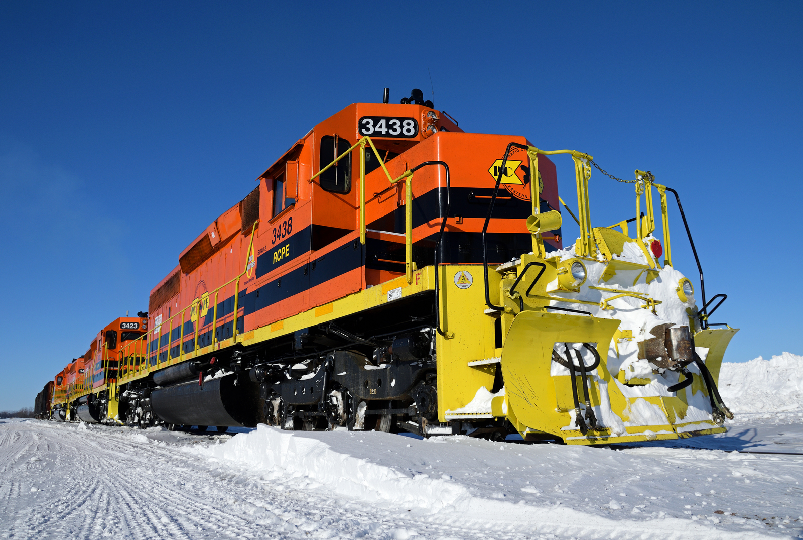
Low temp low angle

The light at the end of the tunnel is usualy an oncoming train

A new view at Walnut Grove

The usual view at Tracy

Energy Fields

mn shelf 3.jpg

Springtime Landscape

Stormy Autumn Evening - Lake Shetek State Park

Footballspiel in Tracy

Plum Creek
Topographic Map of th St, Walnut Grove, MN, USA
Find elevation by address:

Places near th St, Walnut Grove, MN, USA:
Springdale Township
Cherry St, Milroy, MN, USA
2880 County Rd 11
Lamberton Township
Redwood County
Lamberton
406 Paska St
Cottonwood County
2000 Sweden Ave
N St Paul Ave, Fulda, MN, USA
909 S Lafayette Ave
Dundee
N Main St, Dundee, MN, USA
Jeffers
Willow Lake Township
Sanborn
12955 Us-71
Co Rd 3, Windom, MN, USA
Exchange St, Okabena, MN, USA
1220 June Ct
Recent Searches:
- Elevation of Kambingan Sa Pansol Atbp., Purok 7 Pansol, Candaba, Pampanga, Philippines
- Elevation of Pinewood Dr, New Bern, NC, USA
- Elevation of Mountain View, CA, USA
- Elevation of Foligno, Province of Perugia, Italy
- Elevation of Blauwestad, Netherlands
- Elevation of Bella Terra Blvd, Estero, FL, USA
- Elevation of Estates Loop, Priest River, ID, USA
- Elevation of Woodland Oak Pl, Thousand Oaks, CA, USA
- Elevation of Brownsdale Rd, Renfrew, PA, USA
- Elevation of Corcoran Ln, Suffolk, VA, USA