Elevation of Lamberton Township, MN, USA
Location: United States > Minnesota > Redwood County >
Longitude: -95.289343
Latitude: 44.2581796
Elevation: 334m / 1096feet
Barometric Pressure: 97KPa
Elevation Map:
Satellite Map:
Related Photos:

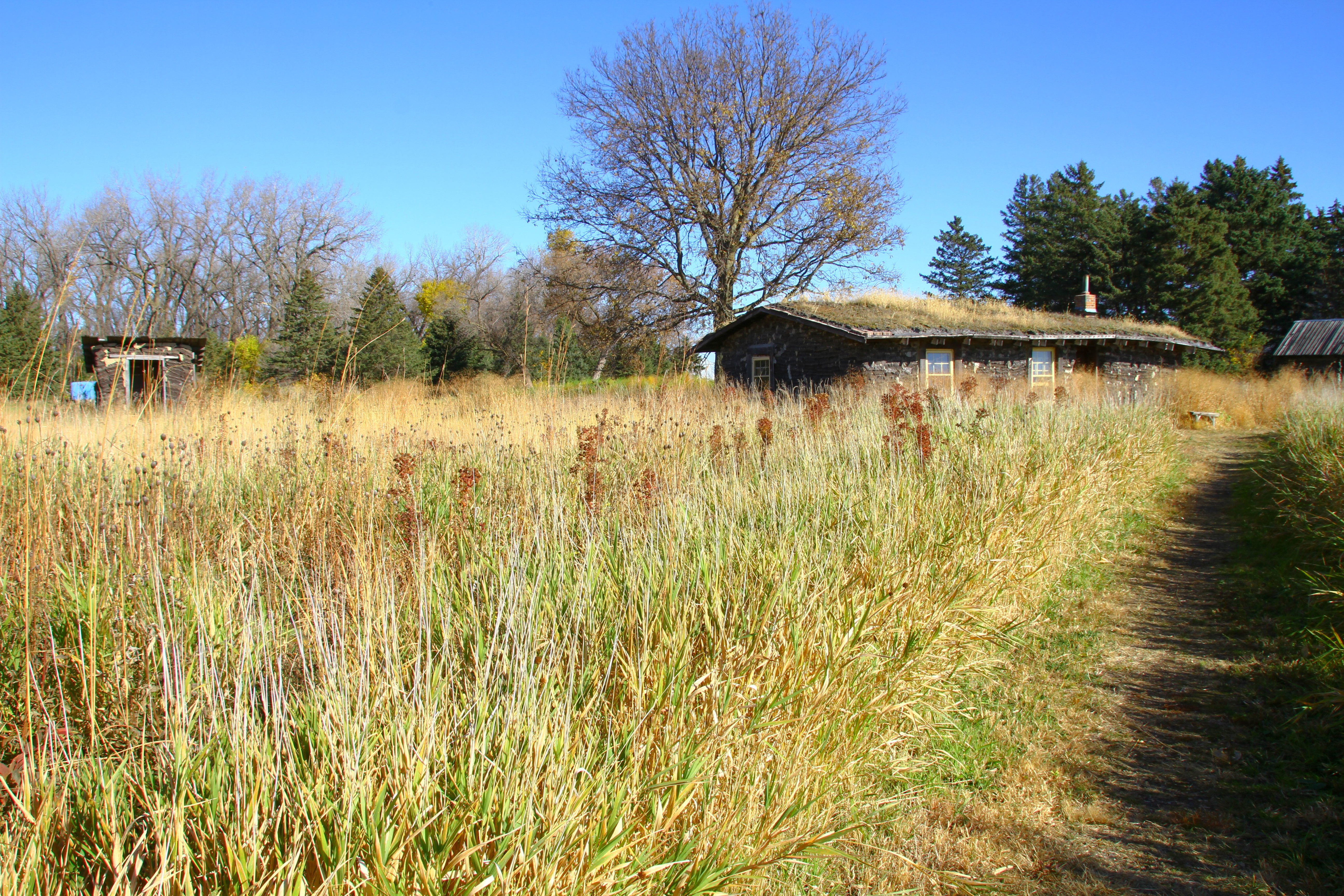
the field

psycho or home improvment?
side view

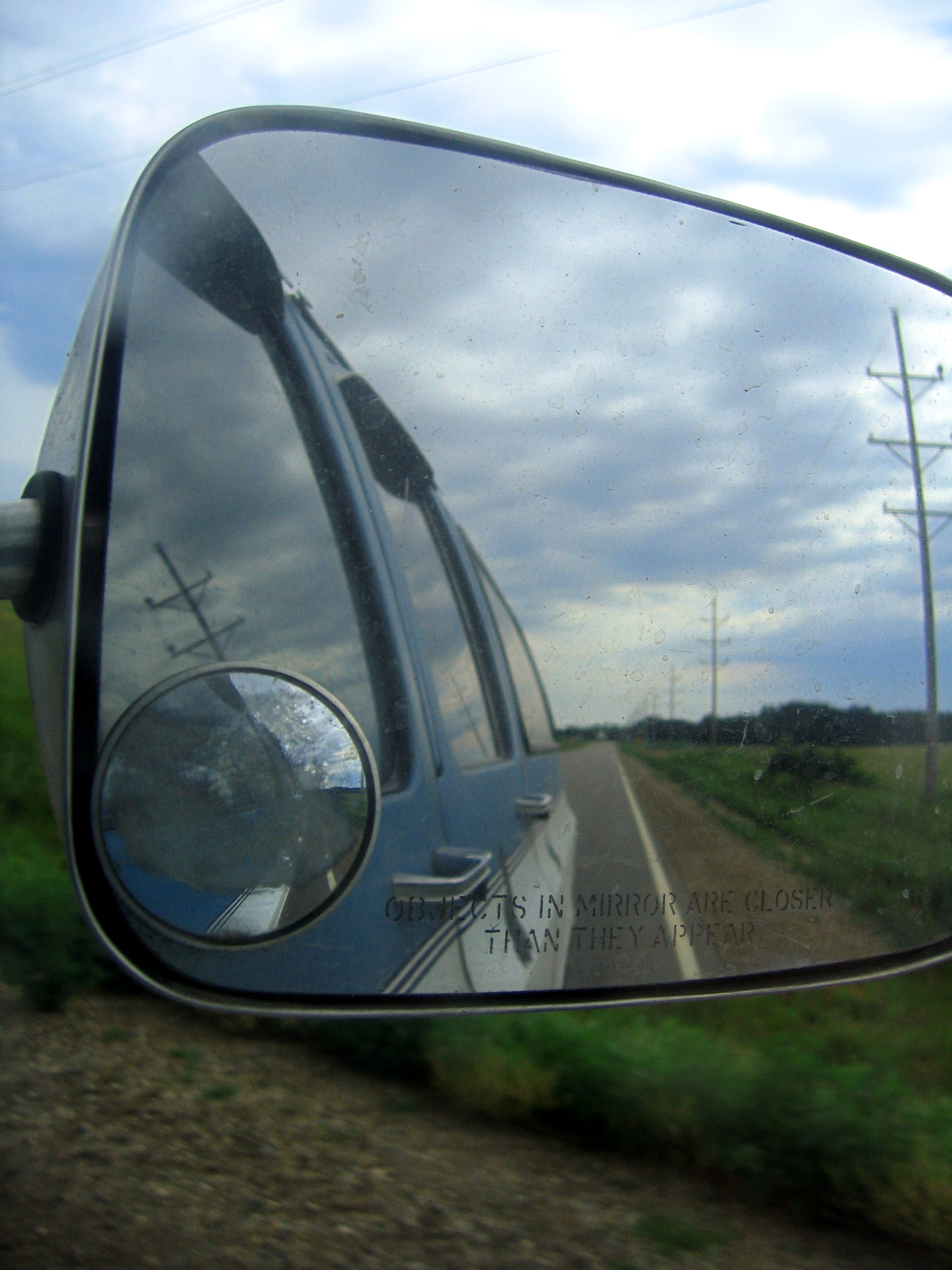
The light at the end of the tunnel is usualy an oncoming train
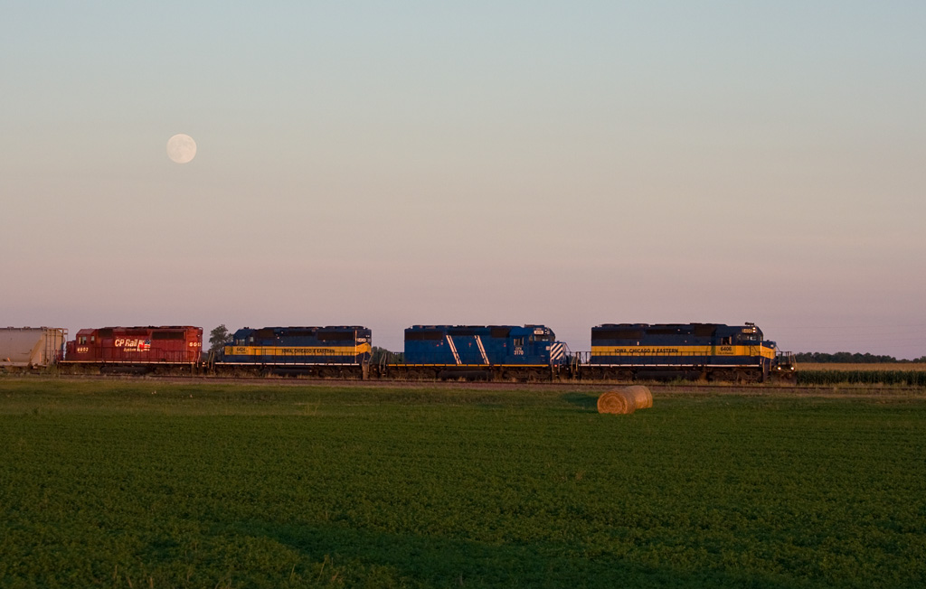
Moonrise; Lamberton, MN

2014-10-25T17_38_19

2014-10-25T17_36_49
feild from front

Road to Blue
2014-10-25T17_40_18

ICE 6423 Lamberton, MN
2014-10-25T17_28_26_v1

burn it to keep warm
Topographic Map of Lamberton Township, MN, USA
Find elevation by address:

Places in Lamberton Township, MN, USA:
Places near Lamberton Township, MN, USA:
Lamberton
Redwood County
Willow Lake Township
12955 Us-71
Sanborn
Cottonwood County
406 Paska St
Jeffers
2000 Sweden Ave
Springdale Township
12211 110th St
Cherry St, Milroy, MN, USA
315 E Tin St
Redwood Falls
Co Rd 3, Windom, MN, USA
2880 County Rd 11
Carson Township
Co Rd 2, Redwood Falls, MN, USA
Reservation Highway 101
Gray St W, Comfrey, MN, USA
Recent Searches:
- Elevation of Bella Terra Blvd, Estero, FL, USA
- Elevation of Estates Loop, Priest River, ID, USA
- Elevation of Woodland Oak Pl, Thousand Oaks, CA, USA
- Elevation of Brownsdale Rd, Renfrew, PA, USA
- Elevation of Corcoran Ln, Suffolk, VA, USA
- Elevation of Mamala II, Sariaya, Quezon, Philippines
- Elevation of Sarangdanda, Nepal
- Elevation of 7 Waterfall Way, Tomball, TX, USA
- Elevation of SW 57th Ave, Portland, OR, USA
- Elevation of Crocker Dr, Vacaville, CA, USA