Elevation of th St, Evan, MN, USA
Location: United States > Minnesota > Brown County >
Longitude: -94.839497
Latitude: 44.354811
Elevation: 315m / 1033feet
Barometric Pressure: 98KPa
Elevation Map:
Satellite Map:
Related Photos:

shadows of decontruction

Fort Ridgely State Park, Minnesota - Scenic Overlook

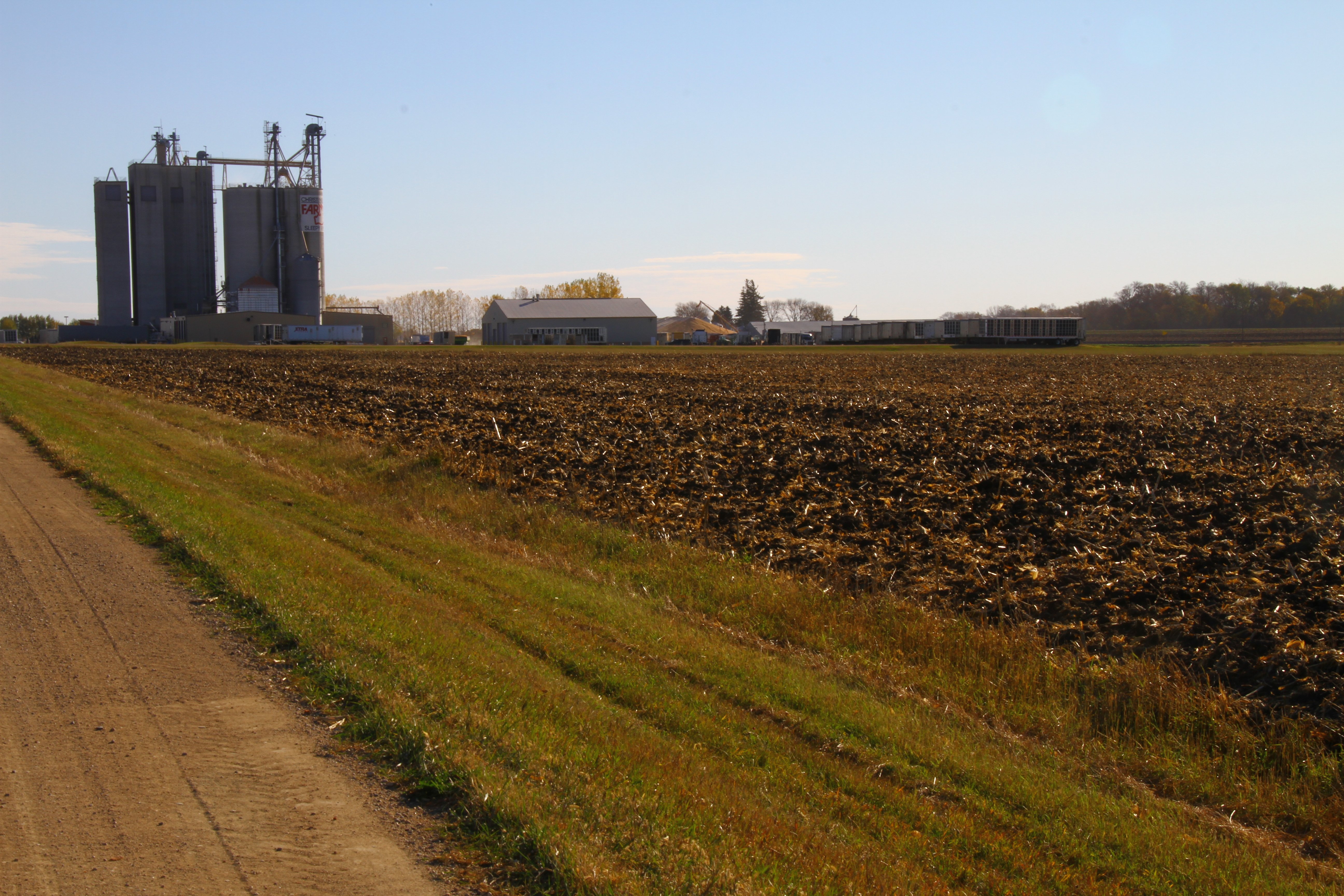
101814-314F
2014-10-25T16_17_23
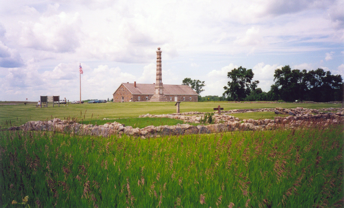
Fort Ridgely Historic Site, Minnesota

Minnesota River Valley
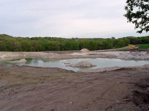
Lake/mine at the Fort Ridgely park

Fort Ridgely Creek - Minnesota

2014-10-25T16_17_03

equinox moonrise
Topographic Map of th St, Evan, MN, USA
Find elevation by address:

Places near th St, Evan, MN, USA:
Cedar Mountain
Co Rd 24, Sleepy Eye, MN, USA
Co Rd 24, Sleepy Eye, MN, USA
Brown County
1st St, Essig, MN, USA
Essig
Reservation Highway 101
Gray St W, Comfrey, MN, USA
Milford Township
73950 Co Rd 16
12955 Us-71
Cty Rd 5, New Ulm, MN, USA
Co Rd 2, Redwood Falls, MN, USA
Beaver Falls Township
Sanborn
Willow Lake Township
315 E Tin St
Redwood Falls
New Ulm Municipal Airport
Renville County
Recent Searches:
- Elevation of Congressional Dr, Stevensville, MD, USA
- Elevation of Bellview Rd, McLean, VA, USA
- Elevation of Stage Island Rd, Chatham, MA, USA
- Elevation of Shibuya Scramble Crossing, 21 Udagawacho, Shibuya City, Tokyo -, Japan
- Elevation of Jadagoniai, Kaunas District Municipality, Lithuania
- Elevation of Pagonija rock, Kranto 7-oji g. 8"N, Kaunas, Lithuania
- Elevation of Co Rd 87, Jamestown, CO, USA
- Elevation of Tenjo, Cundinamarca, Colombia
- Elevation of Côte-des-Neiges, Montreal, QC H4A 3J6, Canada
- Elevation of Bobcat Dr, Helena, MT, USA