Elevation of Renville County, MN, USA
Location: United States > Minnesota >
Longitude: -94.976654
Latitude: 44.6674445
Elevation: 326m / 1070feet
Barometric Pressure: 97KPa
Elevation Map:
Satellite Map:
Related Photos:
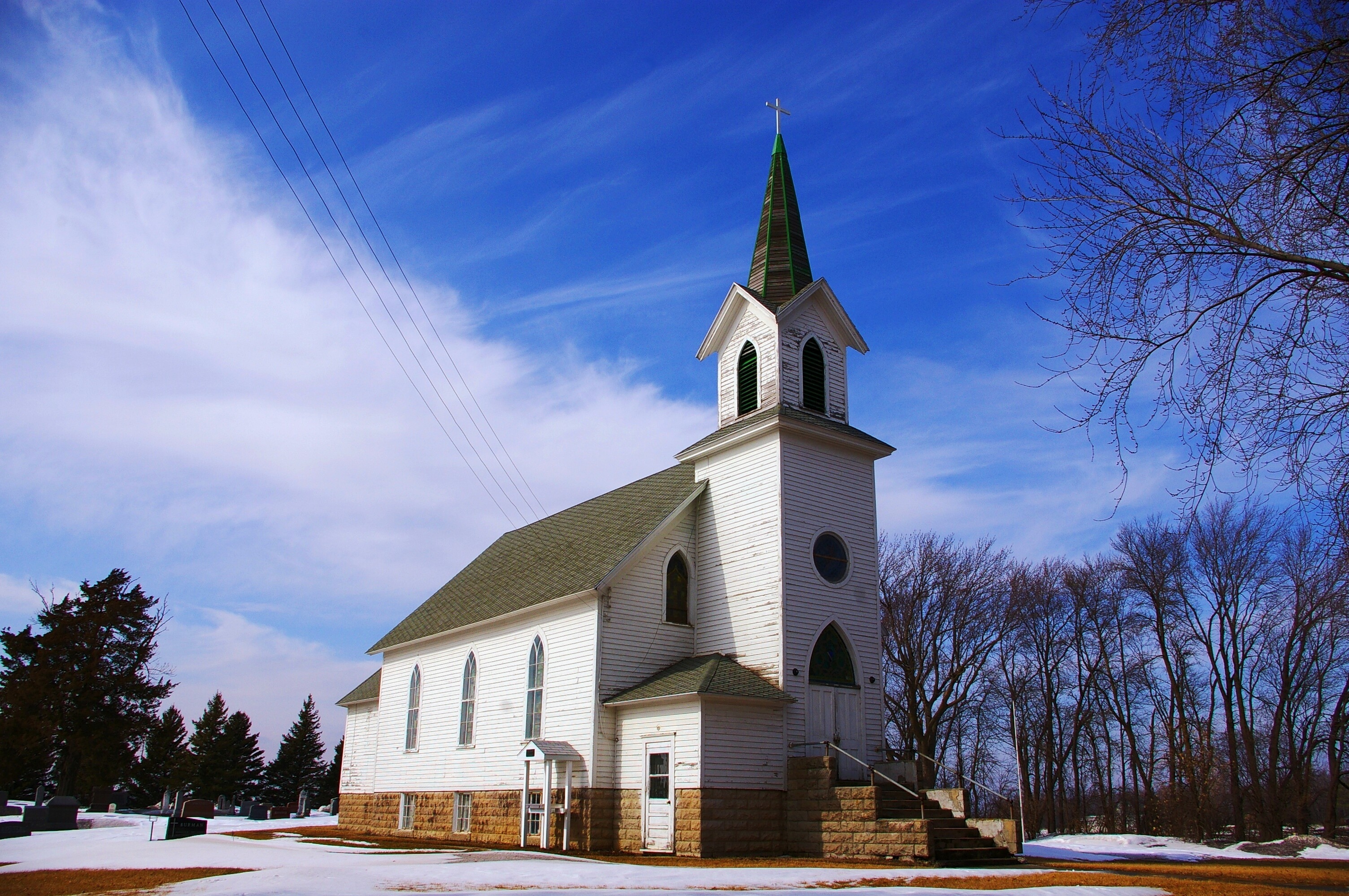
Abandoned Beauty
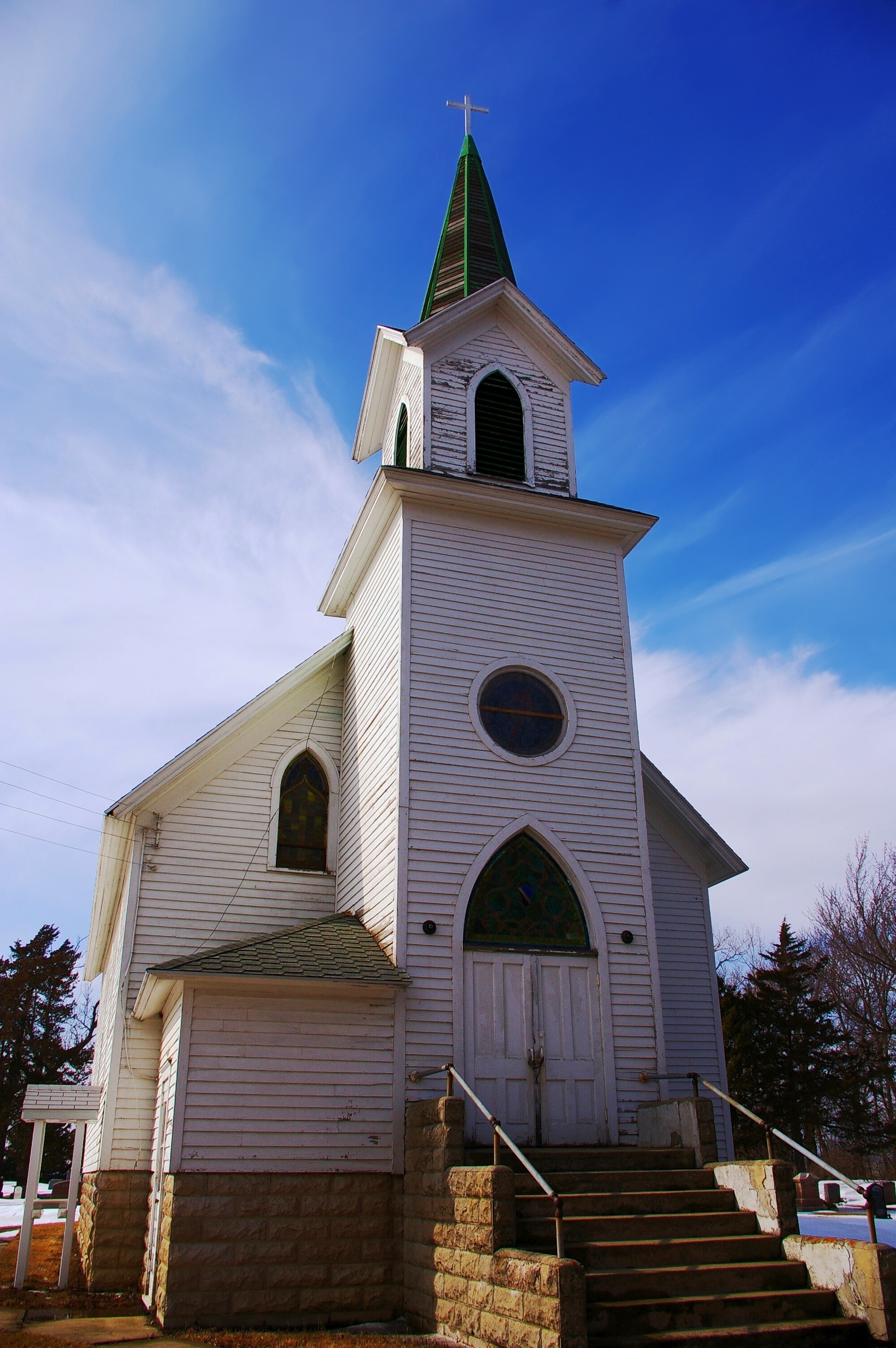
Lonely Church
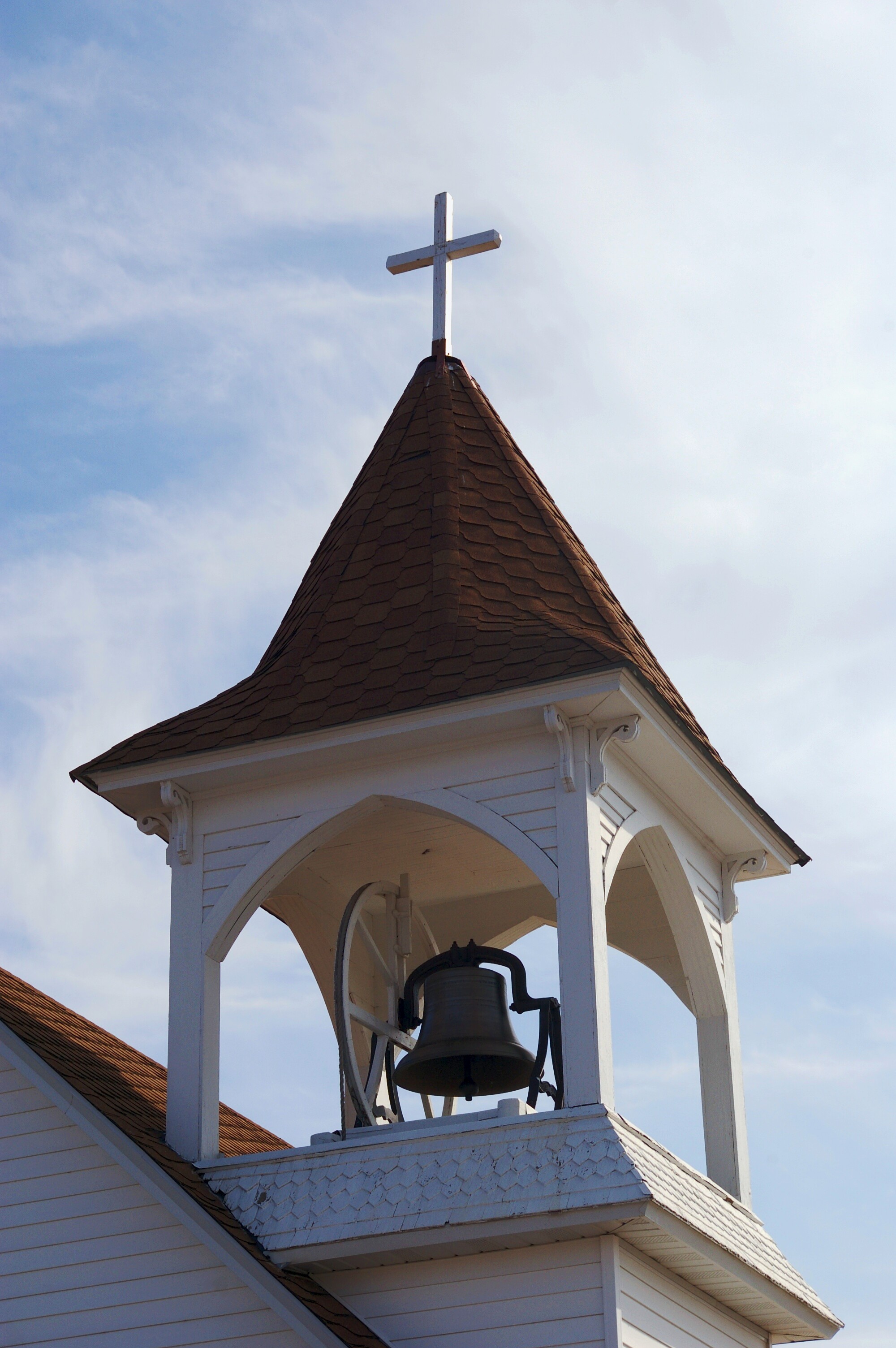
Bell Tower
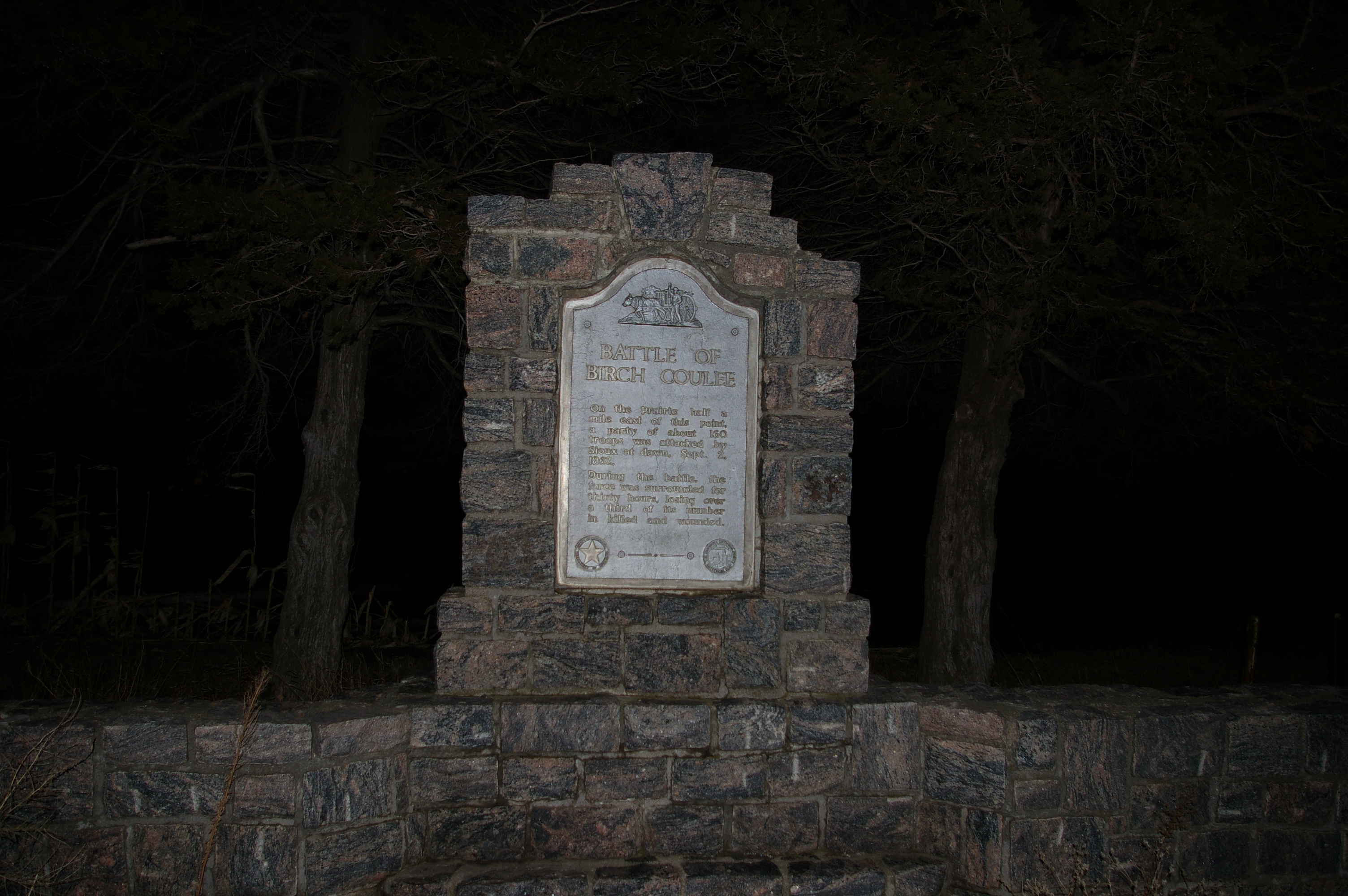
Birch Coulee Battle Wayside
Pre-Spring Thaw
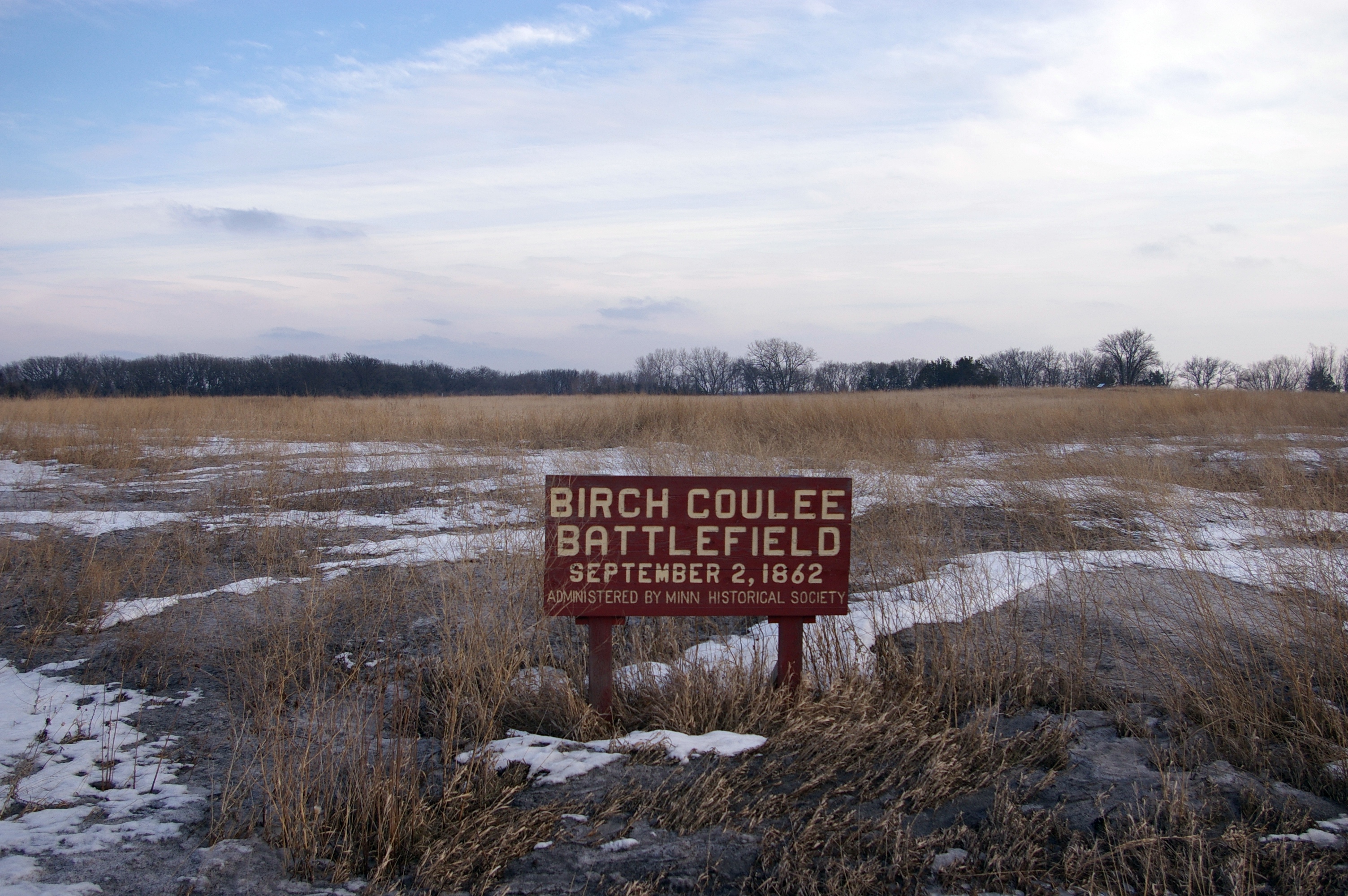
Birch Coulee Battlefield
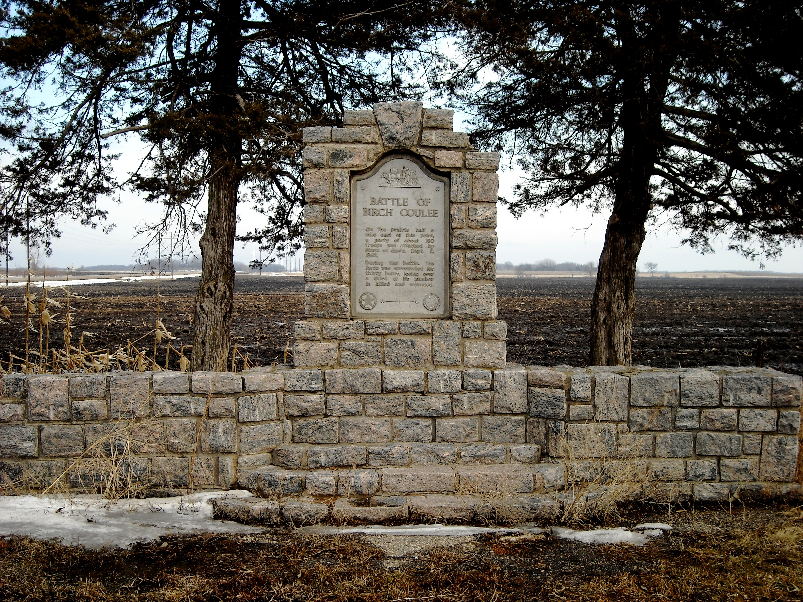
Birch Coulee Wayside
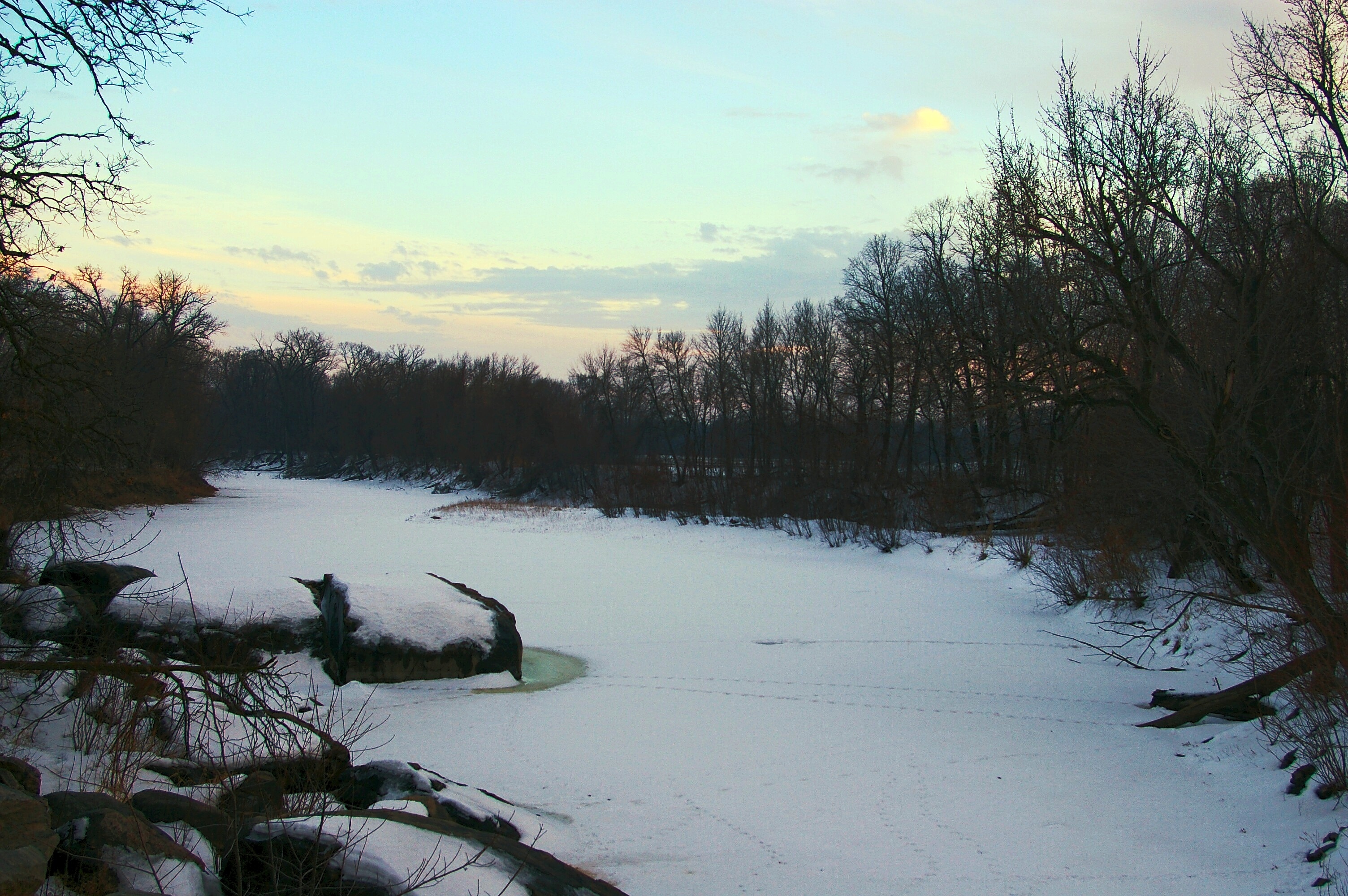
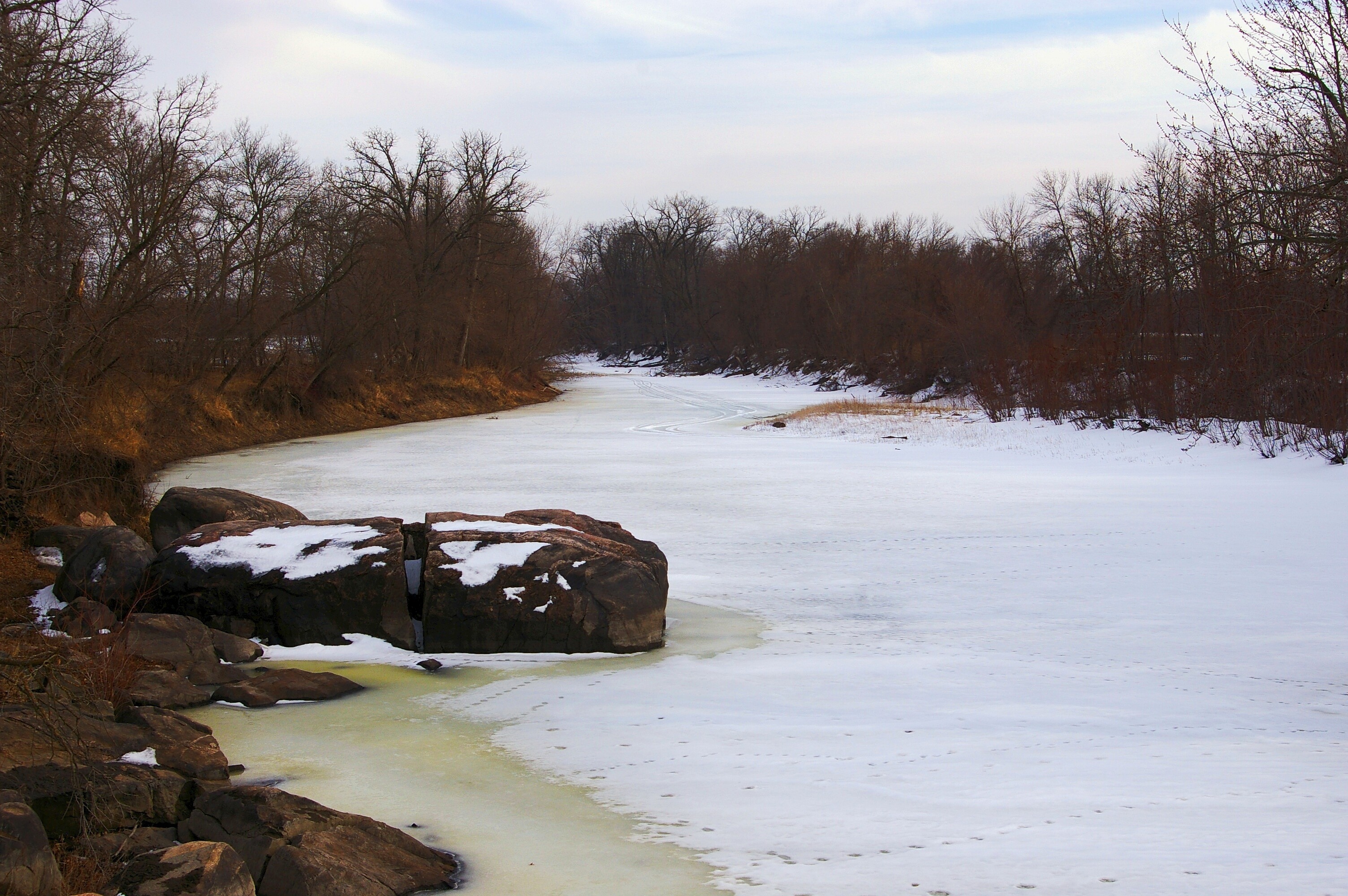
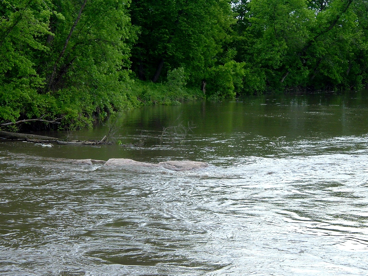
Silent River
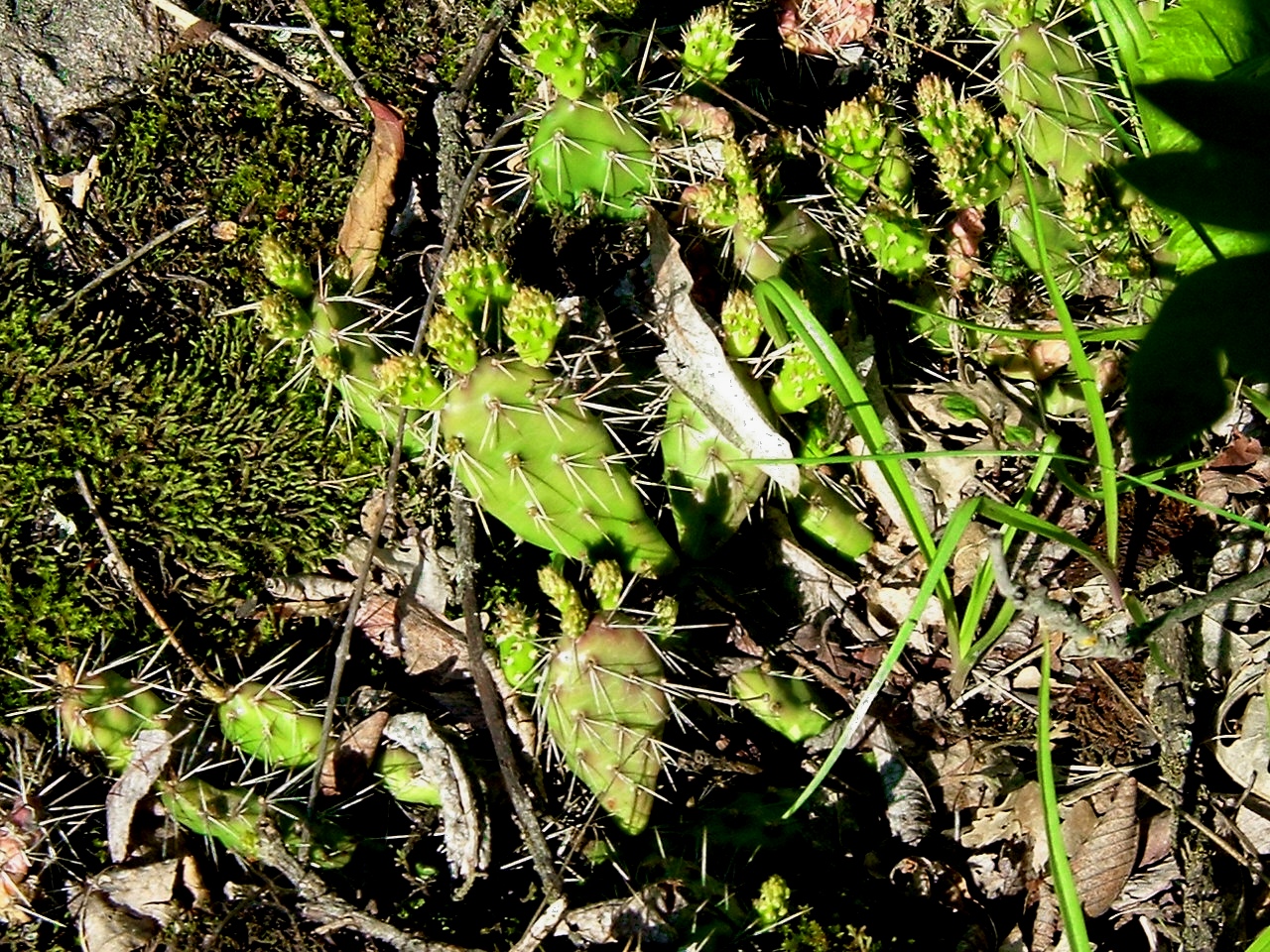
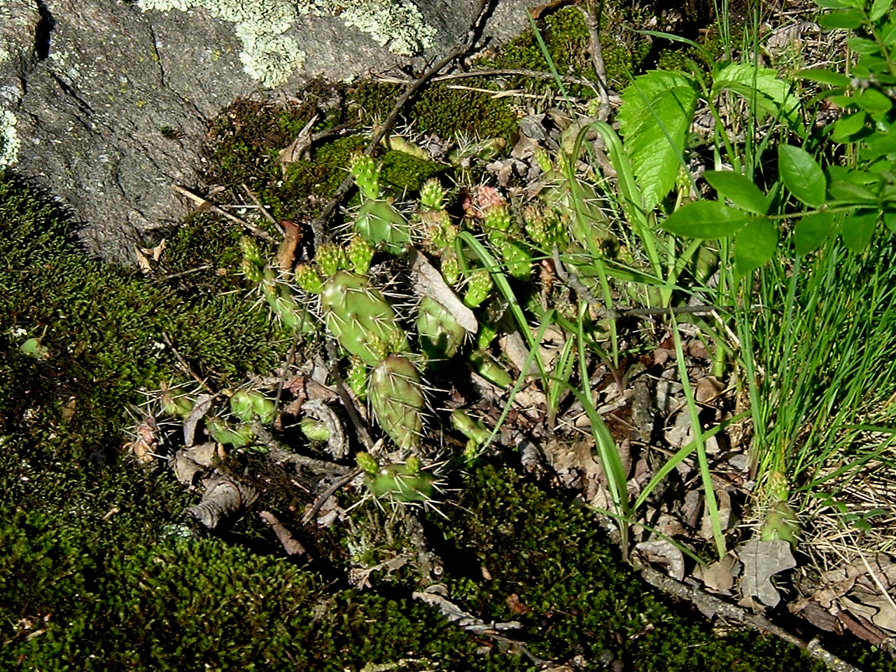
Prairie Cactus

View from the high point
Name This Location
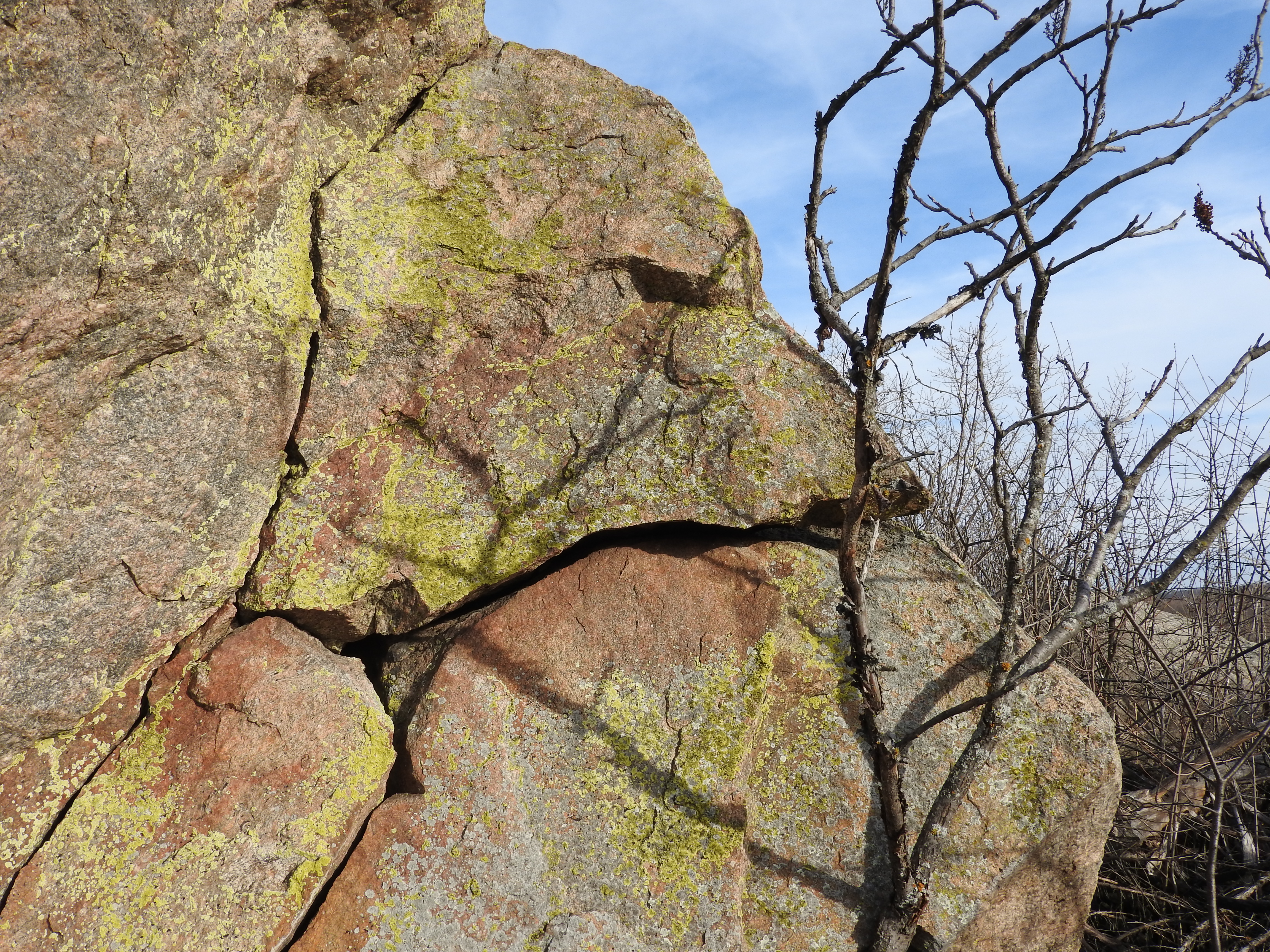
View from the west side of the boulder

Ancient River Rocks
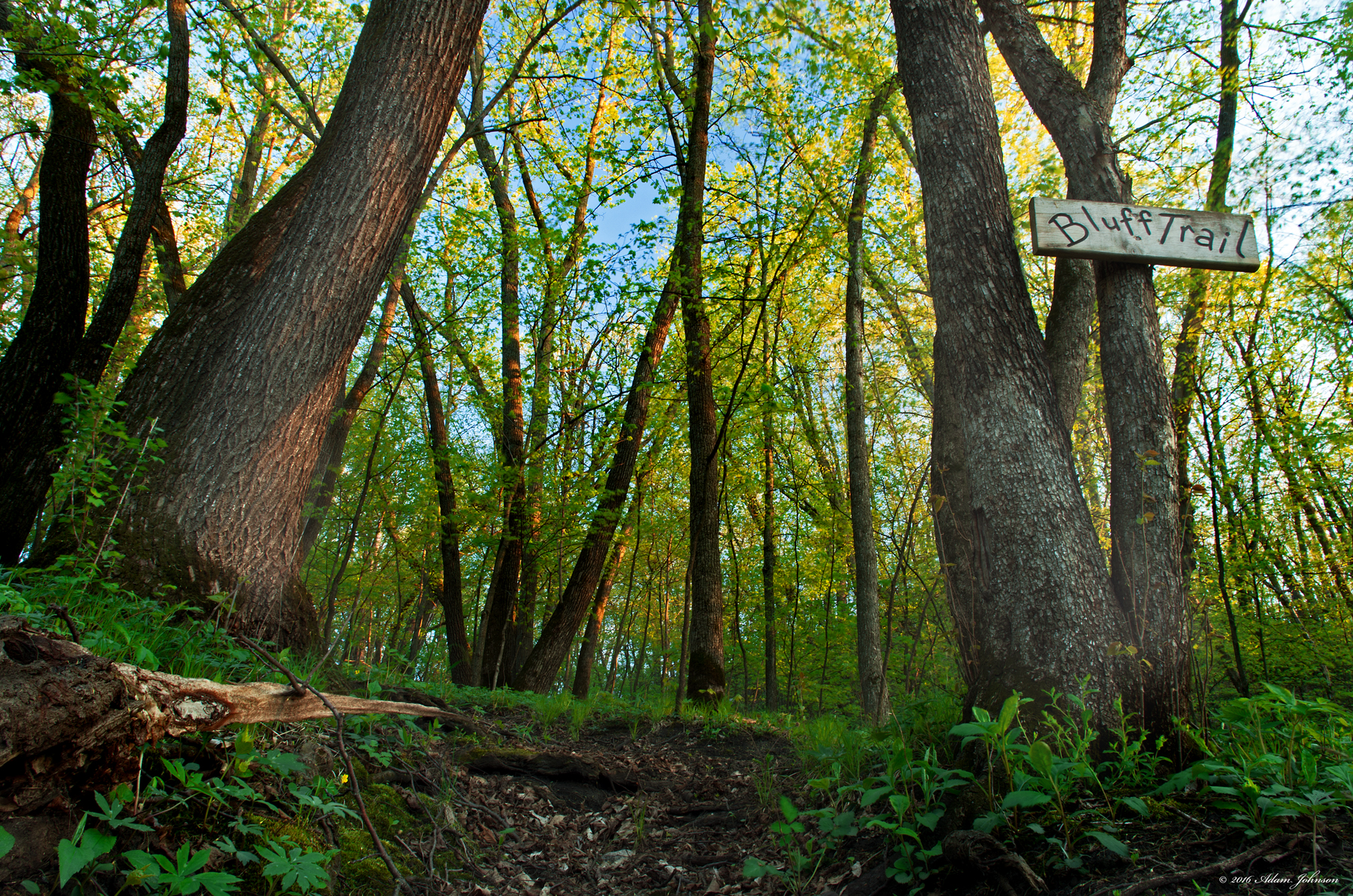
Bluff Trail in Spring

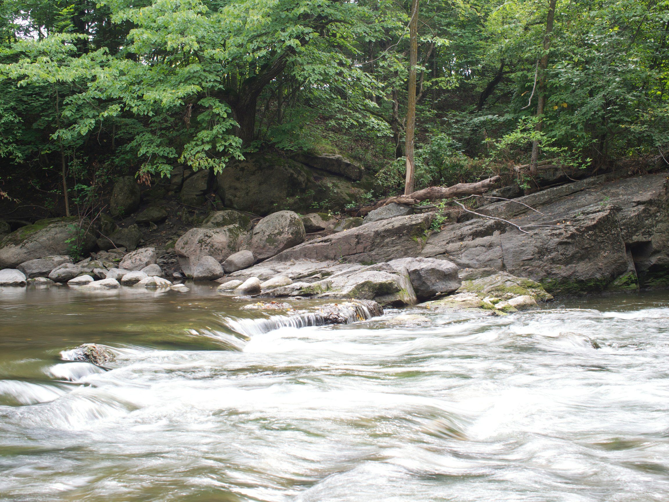
Beaver Creek

Ramsey Falls ~ Redwood County,MN
Submerged Ancient River Rocks
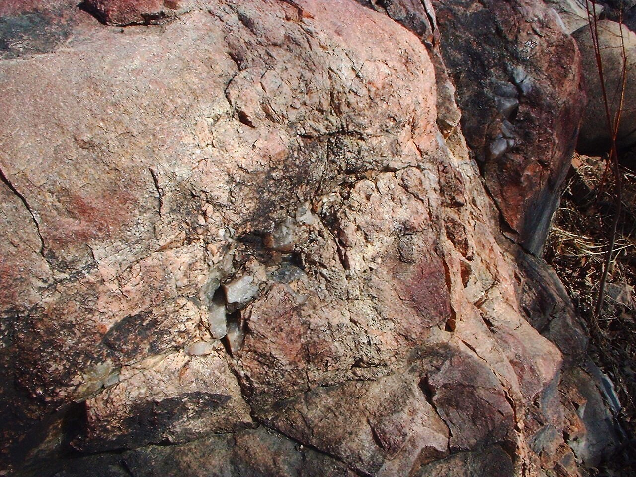
Ancient River Rock
Bever Falls
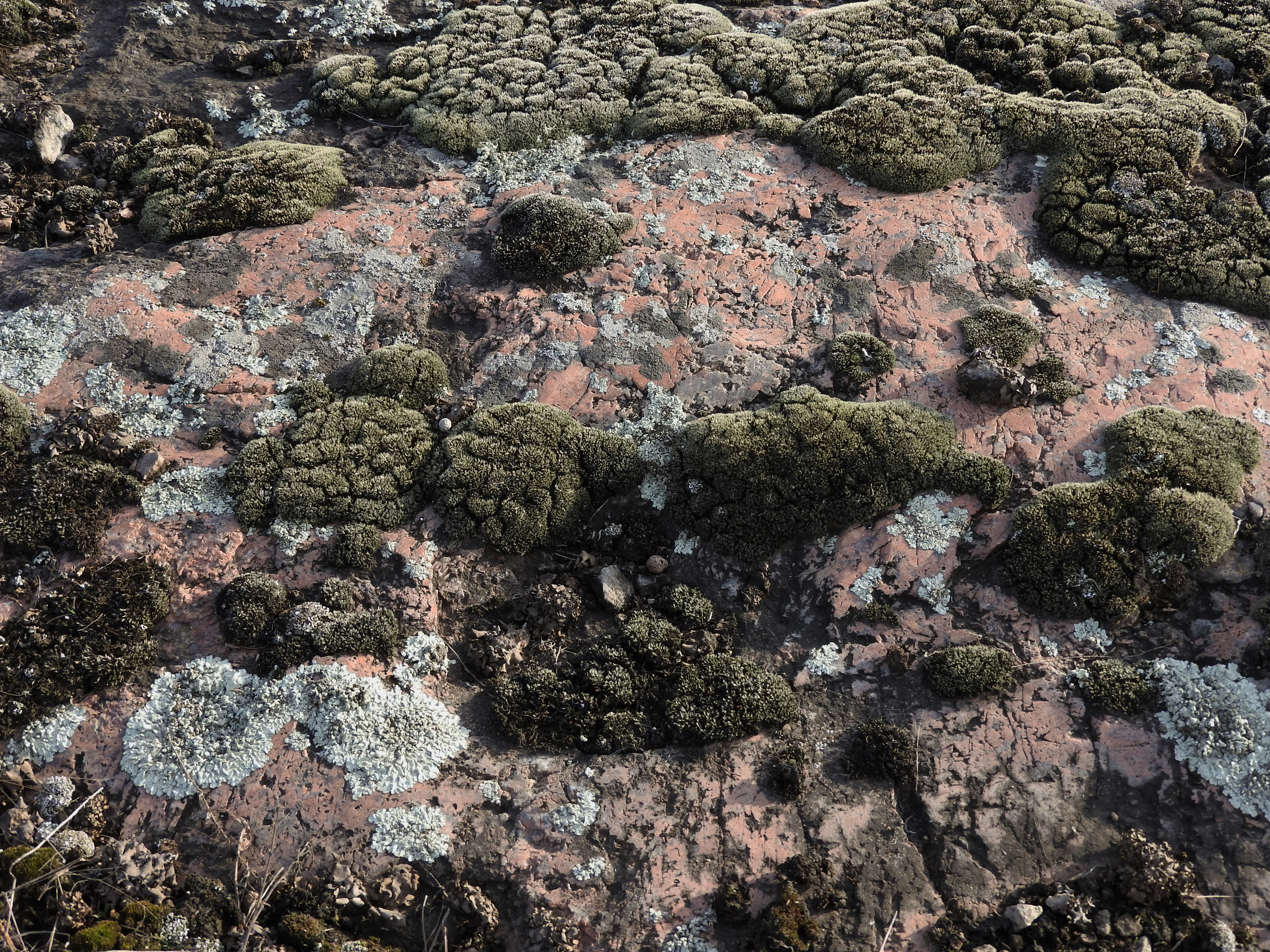
Lichen & Moss Rockscape

Minnesota River Valley

Bluff Trail
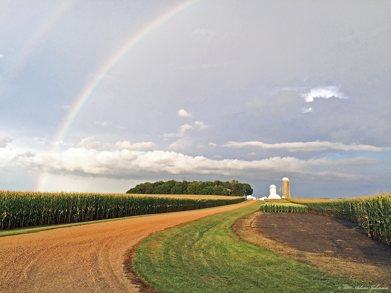
Rainbow Farm
Topographic Map of Renville County, MN, USA
Find elevation by address:

Places in Renville County, MN, USA:
Ericson Township
Hector
Beaver Falls Township
Main St, Bird Island, MN, USA
9th St S, Olivia, MN, USA
Maple St, Sacred Heart, MN, USA
Renville
Henryville Township
Winfield Township
Places near Renville County, MN, USA:
Henryville Township
Beaver Falls Township
9th St S, Olivia, MN, USA
Olivia
905 N 7th St
Co Rd 2, Redwood Falls, MN, USA
Main St, Bird Island, MN, USA
Reservation Highway 101
32118 850th Ave
Winfield Township
Redwood Falls
315 E Tin St
73950 Co Rd 16
Cedar Mountain
Renville
Main St S, Hector, MN, USA
Hector
Mel's 7-71
Lakeview St, Lake Lillian, MN, USA
7101 210th Ave Sw
Recent Searches:
- Elevation of Honghe National Nature Reserve, QP95+PJP, Tongjiang, Heilongjiang, Jiamusi, Heilongjiang, China
- Elevation of Hercules Dr, Colorado Springs, CO, USA
- Elevation of Szlak pieszy czarny, Poland
- Elevation of Griffing Blvd, Biscayne Park, FL, USA
- Elevation of Kreuzburger Weg 13, Düsseldorf, Germany
- Elevation of Gateway Blvd SE, Canton, OH, USA
- Elevation of East W.T. Harris Boulevard, E W.T. Harris Blvd, Charlotte, NC, USA
- Elevation of West Sugar Creek, Charlotte, NC, USA
- Elevation of Wayland, NY, USA
- Elevation of Steadfast Ct, Daphne, AL, USA