Elevation of Round Mountain Road, Round Mountain Rd, Tennessee, USA
Location: United States > Tennessee > Cocke County > Del Rio >
Longitude: -82.970556
Latitude: 35.8472028
Elevation: 948m / 3110feet
Barometric Pressure: 90KPa
Elevation Map:
Satellite Map:
Related Photos:

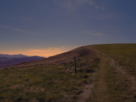
The Appalachian Trail

Very hazy view of Tenn from Max Patch

Celebrating the 4th of July

max patch

Rainbows over Max Patch

View of Tennessee from Max Patch Bald

Houston Valley

View From Max Patch

The Smokey Mountains

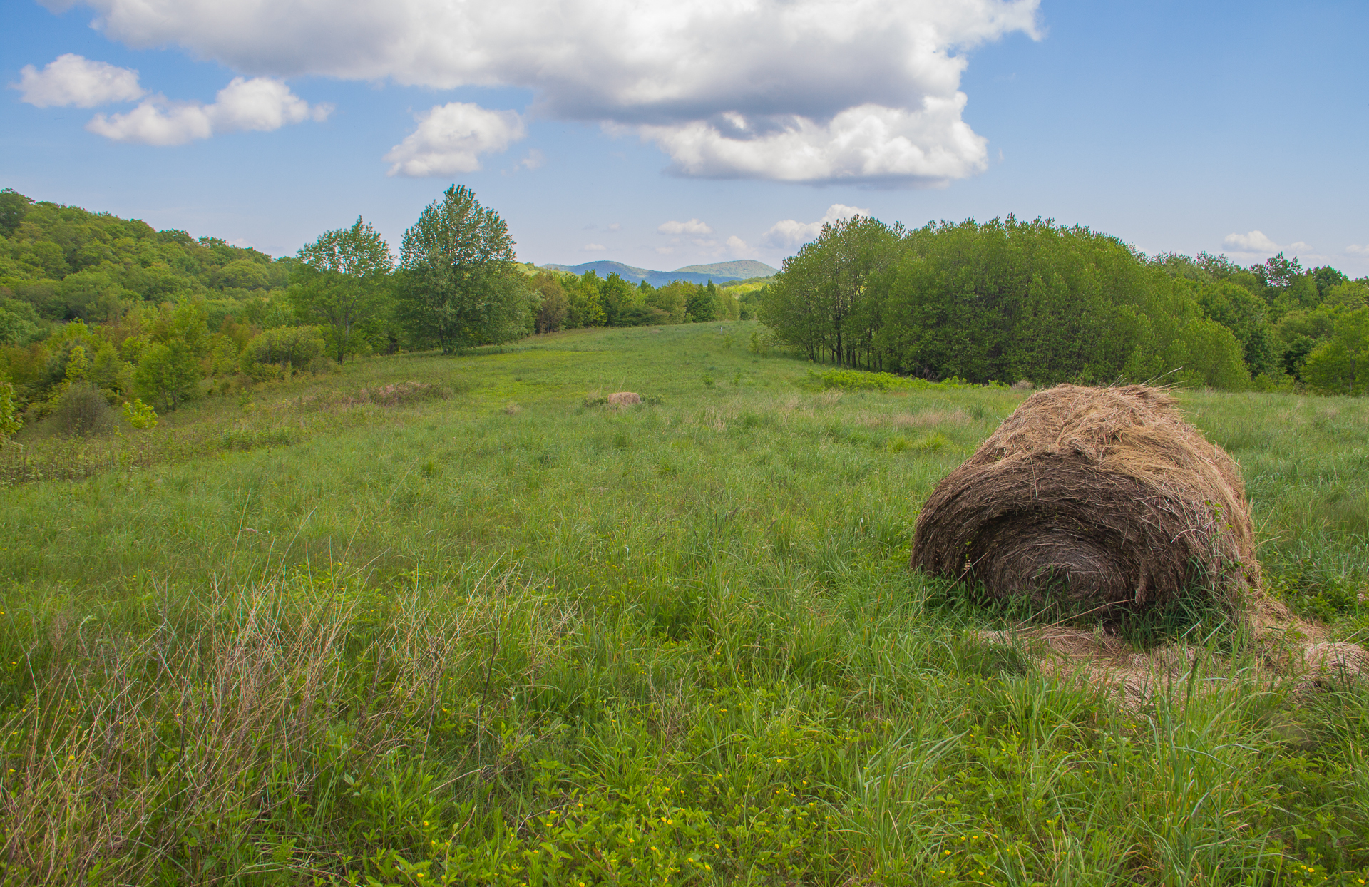
Max Patch

View from Max Patch

View from Max Patch

Fall on Max Patch

max patch mayapple fields
MAX PATCH BALD

NC 209 Scenic View

Hiking up Max Patch

Max Patch

View from Snowbird Mtn - W4T/SU-035
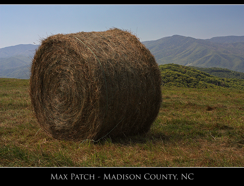
Buckeye Ridge, Max Patch, North Carolina

View from our bedroom

123 along the French Broad

Harmon Den Creek in North Carolina.

the emerald city

The Hike

Long walk up

Pisgah National Forest

Winter Stroll

On Max Patch Bald on the TN/NC state line.
Max Patch Bald

Almost Dusk

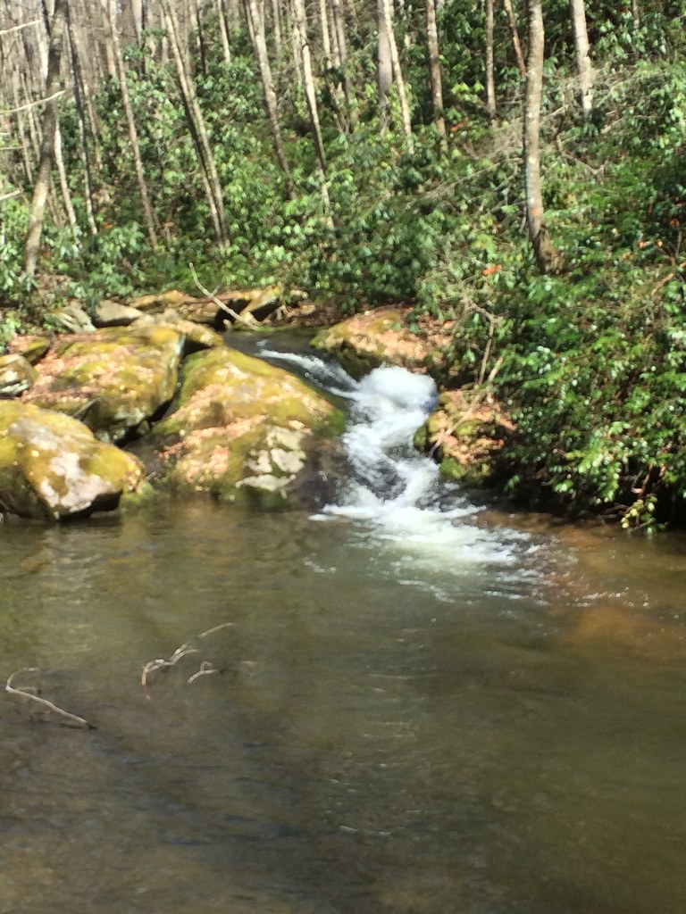
Smoky Mountains Streams

down in the valley
Max Patch
Smokies from Max Patch Bald

Morning on Max Patch

Meadow Creek Lookout Tower
Topographic Map of Round Mountain Road, Round Mountain Rd, Tennessee, USA
Find elevation by address:

Places near Round Mountain Road, Round Mountain Rd, Tennessee, USA:
1736 Norwood Town Rd
1464 Blue Mill Rd
1428 Blue Mill Rd
2565 Spicewood Flats Rd
570 Kent Medford Way
581 Kent Medford Way
523 Price Cove Rd
1210 Bull Mountain Rd
1300 Ridge Hollow Rd
820 Reece Hollow Rd
820 Reece Hollow Rd
820 Reece Hollow Rd
Gulf Road
1196 Ridge Hollow Rd
3448 Gulf Rd
5285 Yates Rd
5285 Rag Mountain Rd
3380 Williams Rd
Tennessee Way
Rag Mountain Road
Recent Searches:
- Elevation of Tater Hill, Oklahoma, USA
- Elevation of NY-, Friendship, NY, USA
- Elevation of 64 Danakas Dr, Winnipeg, MB R2C 5N7, Canada
- Elevation of 4 Vale Rd, Sheffield S3 9QX, UK
- Elevation of Keene Point Drive, Keene Point Dr, Grant, AL, USA
- Elevation of State St, Zanesville, OH, USA
- Elevation of Austin Stone Dr, Haslet, TX, USA
- Elevation of Bydgoszcz, Poland
- Elevation of Bydgoszcz, Poland
- Elevation of Calais Dr, Del Mar, CA, USA