Elevation of Gulf Road, Gulf Rd, Hartford, TN, USA
Location: United States > Tennessee > Cocke County > Hartford >
Longitude: -83.035894
Latitude: 35.8104886
Elevation: 751m / 2464feet
Barometric Pressure: 93KPa
Elevation Map:
Satellite Map:
Related Photos:

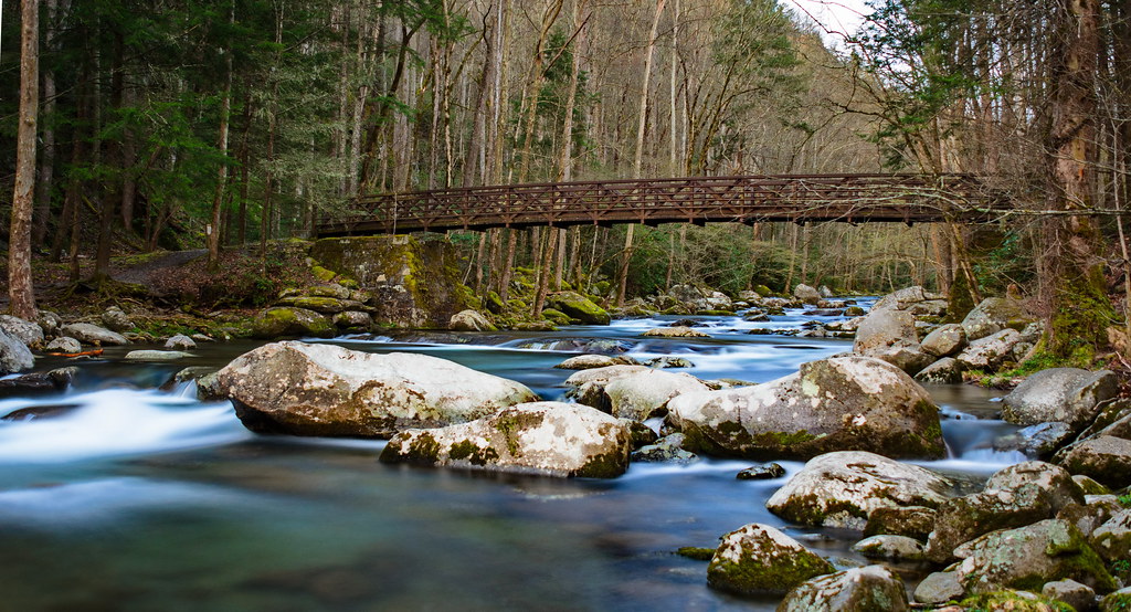
Falls on Big Creek

Sunrise from Mount Sterling Firetower, Great Smoky Mountains NP
Baxter Creek Trailhead

TrackHead Studios - Vista

Mount Cammerer

Mt. Sterling View 2

Very hazy view of Tenn from Max Patch

Celebrating the 4th of July

Max Patch, Ecclesiastes 3:11

View of Tennessee from Max Patch Bald

Elk Grazing in Little Cataloochee

Max Patch, Pisgah Nat'l Forest, Psalm 90:2

Max Patch, Pisgah Nat'l Forest, Proverbs 10:25

Room with a view

Max Patch

Max Patch, Romans 1:20

View from Max Patch, looking east

View from Max Patch

View from Max Patch, looking east

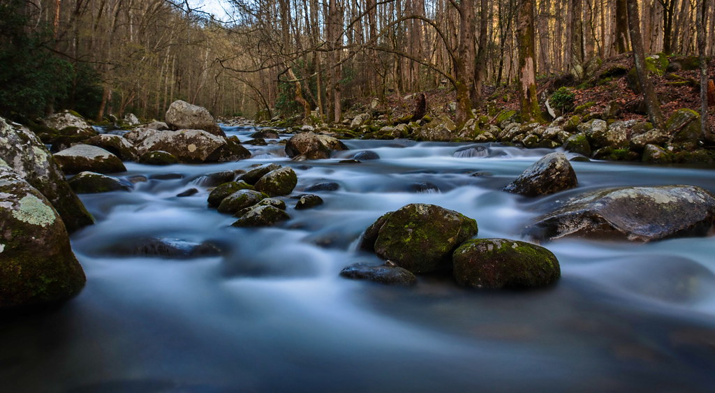
Cascades on Big Creek
Baxter Creek

Humpback Rock

Rainy Spring Day on Big Creek

Mouse Creek Falls from Trail

TrackHead Studios - Clouds Crawl Along

Let's go for a Swim

Max Patch 03

The Hike

Big Creek and Mouse Creek Falls

TrackHead Studios - Shady Mountain Top

TrackHead Studios - Forest Valley

Pisgah National Forest

Long walk up

Blue Ridge Mountains, Psalm 104:32
Topographic Map of Gulf Road, Gulf Rd, Hartford, TN, USA
Find elevation by address:

Places near Gulf Road, Gulf Rd, Hartford, TN, USA:
3448 Gulf Rd
5285 Rag Mountain Rd
Rag Mountain Road
3380 Williams Rd
Snowbird Mountain
523 Price Cove Rd
1210 Bull Mountain Rd
820 Reece Hollow Rd
820 Reece Hollow Rd
820 Reece Hollow Rd
Tennessee Way
1300 Ridge Hollow Rd
1196 Ridge Hollow Rd
3575 Ford Rd
3590 Ford Rd
3545 Grassy Fork Rd
5165 Raven Branch Rd
Raven Branch Road
581 Kent Medford Way
570 Kent Medford Way
Recent Searches:
- Elevation of Lampiasi St, Sarasota, FL, USA
- Elevation of Elwyn Dr, Roanoke Rapids, NC, USA
- Elevation of Congressional Dr, Stevensville, MD, USA
- Elevation of Bellview Rd, McLean, VA, USA
- Elevation of Stage Island Rd, Chatham, MA, USA
- Elevation of Shibuya Scramble Crossing, 21 Udagawacho, Shibuya City, Tokyo -, Japan
- Elevation of Jadagoniai, Kaunas District Municipality, Lithuania
- Elevation of Pagonija rock, Kranto 7-oji g. 8"N, Kaunas, Lithuania
- Elevation of Co Rd 87, Jamestown, CO, USA
- Elevation of Tenjo, Cundinamarca, Colombia