Elevation of Ford Rd, Hartford, TN, USA
Location: United States > Tennessee > Cocke County > Hartford >
Longitude: -83.077598
Latitude: 35.8155238
Elevation: 651m / 2136feet
Barometric Pressure: 94KPa
Elevation Map:
Satellite Map:
Related Photos:

Unexpected Joy
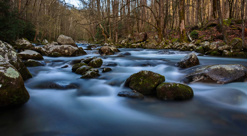
Baxter Creek

Almost Summer

TrackHead Studios - Vista
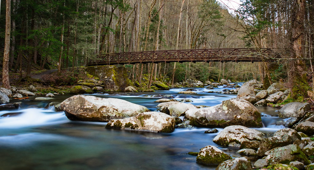
Baxter Creek Trailhead

TrackHead Studios - Clouds Crawl Along

Autumn on Midnight Hole

Mount Cammerer

Foggy Day on Mt. Sterling

TrackHead Studios - Shady Mountain Top

TrackHead Studios - Lovely Valley

max patch

Snowbird Mountain
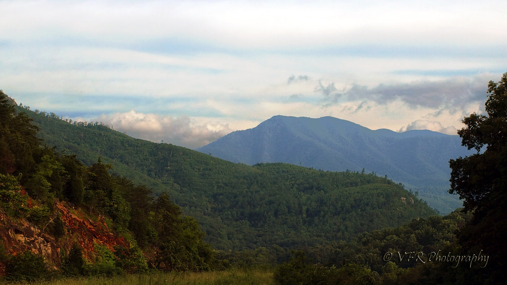
Pre-Gorge view

Fall on Max Patch
View of the Cosby Creek Valley from the Foothills Parkway Between I-40 and Gatlinburg, Tennessee

View of the Cosby Creek Valley from the Foothills Parkway Between I-40 and Gatlinburg, Tennessee
View of the Cosby Creek Valley from the Foothills Parkway Between I-40 and Gatlinburg, Tennessee

Cascades on Big Creek

Falls on Big Creek

Sunrise from Mount Sterling Firetower, Great Smoky Mountains NP

Humpback Rock

Rainy Spring Day on Big Creek

Mouse Creek Falls from Trail

Let's go for a Swim

Mt. Sterling View 2
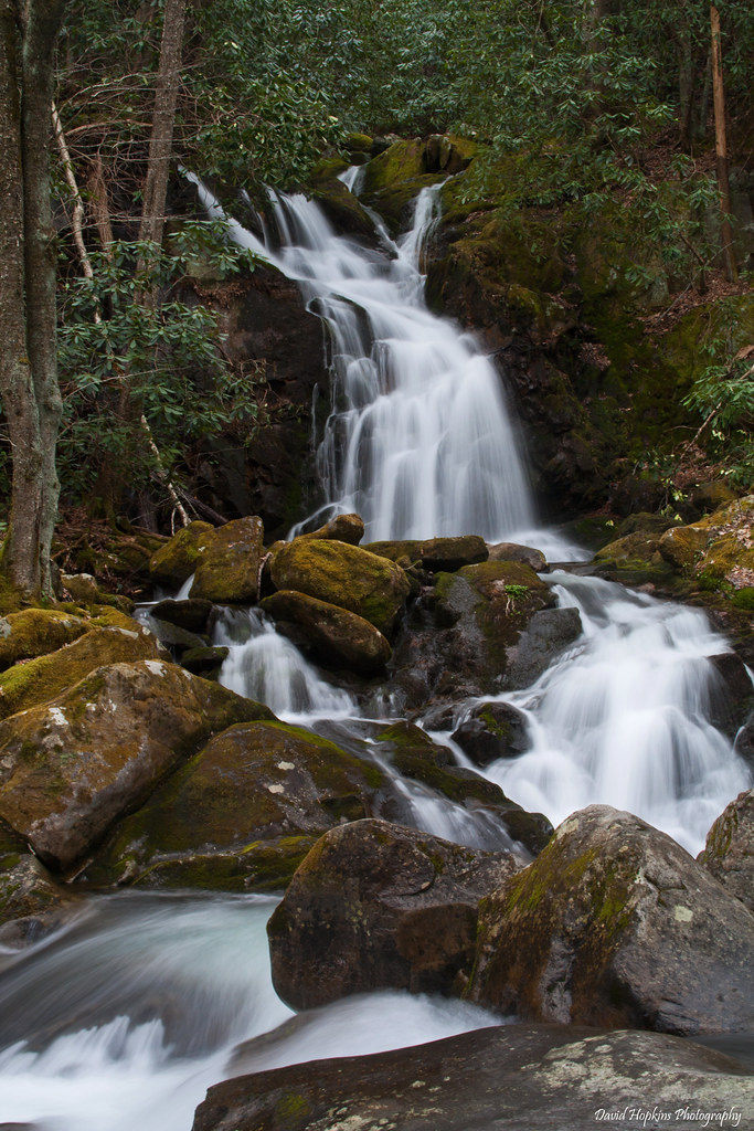
Mouse Creek Falls

Big Creek Cascade

Very hazy view of Tenn from Max Patch

TrackHead Studios - Forest Valley

Mouse Creek Falls

Long walk up

Big Creek
Topographic Map of Ford Rd, Hartford, TN, USA
Find elevation by address:

Places near Ford Rd, Hartford, TN, USA:
3590 Ford Rd
3545 Grassy Fork Rd
3252 Grassy Fork Rd
3676 Green Corner Rd
Rag Mountain Road
3380 Williams Rd
5285 Rag Mountain Rd
4326 Big Creek Rd
4326 Big Creek Rd
3815 Green Corner Rd
4665 Teague Branch Rd
Big Creek Road
5165 Raven Branch Rd
Tennessee Way
Raven Branch Road
Green Corner Road
Dogwood Stand Road
4165 Big Creek Rd
4410 Black Mountain Rd
3448 Gulf Rd
Recent Searches:
- Elevation of Lampiasi St, Sarasota, FL, USA
- Elevation of Elwyn Dr, Roanoke Rapids, NC, USA
- Elevation of Congressional Dr, Stevensville, MD, USA
- Elevation of Bellview Rd, McLean, VA, USA
- Elevation of Stage Island Rd, Chatham, MA, USA
- Elevation of Shibuya Scramble Crossing, 21 Udagawacho, Shibuya City, Tokyo -, Japan
- Elevation of Jadagoniai, Kaunas District Municipality, Lithuania
- Elevation of Pagonija rock, Kranto 7-oji g. 8"N, Kaunas, Lithuania
- Elevation of Co Rd 87, Jamestown, CO, USA
- Elevation of Tenjo, Cundinamarca, Colombia