Elevation of Tennessee Way, Tennessee, USA

Location: United States > Tennessee > Cocke County > Del Rio >

Longitude: -83.062667

Latitude: 35.839245

Elevation: -10000m / -32808feet

Barometric Pressure: 295KPa

Elevation Map:

elevation map of Tennessee Way, Tennessee, USA

Satellite Map:

Satellite map of Tennessee Way, Tennessee, USA

Related Photos:

mountains water nikon tennessee waterfalls nik nationalparks smokies photomatix d700 johnchouse
Almost Summer
autumn northcarolina elk grazing i40 pigeonriver greatsmokymountainsnationalpark cataloochee balsammountains
Elk Grazing in Little Cataloochee
barbdpics sonydscrx100m3 northcarolina maxpatch ourdailychallenge odc standingout
Celebrating the 4th of July
baxtercreek baxtercreektrail bridge greatsmokeymountainsnationalpark gsmnp appalachians mountains hike outdoors water waterfall creek northcarolina nationalpark bigcreek bigcreektrails
Baxter Creek
baxtercreek baxtercreektrail bridge greatsmokeymountainsnationalpark gsmnp appalachians mountains hike outdoors water waterfall creek northcarolina nationalpark
Falls on Big Creek
barbdpics sonydscrx100m3 northcarolina maxpatch
Max Patch
baxtercreek baxtercreektrail bridge greatsmokeymountainsnationalpark gsmnp appalachians mountains hike outdoors water waterfall creek northcarolina nationalpark bigcreek bigcreektrails
Baxter Creek Trailhead
greatsmokymountains greatsmokymountainsnationalpark mountcammerer architecture firetower hiking landscape landscapephotography mountainview mountainvista mountains nature naturephotography outdoorphotography outdoors rocky
Mount Cammerer
adamhall trackhead trackheadstudios trackheadxxx
TrackHead Studios - Passenger's Eye View
northcarolina waynesville greatsmokymountainsnationalpark bigcreektrail midnightholefalls
Midnight Hole Falls, 6 feet high
smokymountains adamhall greatsmokymountainsnationalpark trackhead hikingthesmokys trackheadstudios trackheadxxx
TrackHead Studios - Shady Mountain Top
adamhall trackhead trackheadstudios trackheadxxx
TrackHead Studios - Foothills of Smoky Mts.
adamhall trackhead trackheadstudios trackheadxxx
TrackHead Studios - The Scenic Route
plants plant flower nature petals purple tennessee pistil stamen bloom wildflower wildgeranium geraniaceae geraniummaculatum geraniumfamily cockecounty johncothron 2jtrip2009 cothronphotography
Wild Geranium
barbdpics sonydscrx100m3 northcarolina maxpatch
The Smokey Mountains
barbdpics sonydscrx100m3 northcarolina maxpatch
View from Max Patch
barbdpics sonydscrx100m3 northcarolina maxpatch
View from Max Patch
sunset canon hiking tennessee northcarolina f11 firetower 1635 greatsmokymountainsnationalpark mountcammerer ef1635mmf28liiusm canonef1635mmf28lii canoneos5dmarkii
Room with a view
adamhall trackhead trackheadstudios trackheadxxx
TrackHead Studios - DO NOT TOUCH
autumn mountain mountains fall outdoors nc tn hiking tennessee exploring border bald northcarolina hike 2012 maxpatch
Fall on Max Patch
adamhall trackhead trackheadstudios trackheadxxx
TrackHead Studios - Harvest Decorations
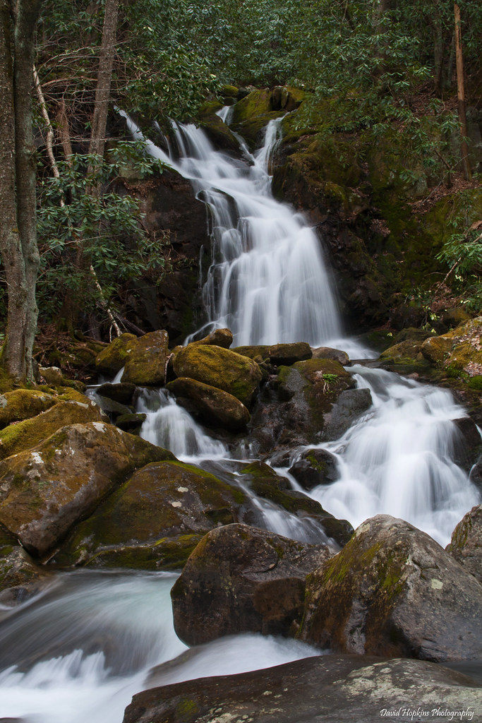
longexposure nc moss rocks hiking northcarolina hike rhododendron bigcreek greatsmokymountainsnationalpark gsmnp mousecreekfalls davidhopkinsphotography
Mouse Creek Falls
panorama usa landscape geotagged spring unitedstates hiking tennessee hdr cosby greatsmokymountainsnationalpark gsmnp fav10 photomatix crestmont sigma1020mmf456exdc mountcammerer canon7d nashvillehikingmeetup catonsgrove geo:lat=3576356020 geo:lon=8316130116
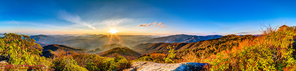
360º panorama from Mount Cammerer (HDR)
usa landscape geotagged spring unitedstates hiking tennessee hdr cosby greatsmokymountainsnationalpark gsmnp cosbycreek fav10 photomatix canon7d nashvillehikingmeetup catonsgrove sigma18250mmf3563dcmacrooshsm cosbynaturetrail geo:lat=3575452766 geo:lon=8320557085
Cosby Nature Trail - Cosby Creek
tennessee northcarolina smokymountainsstreams
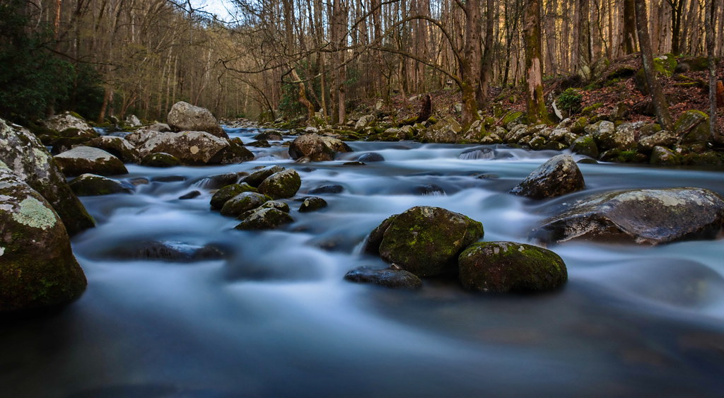
Smoky Mountains Streams
autumn fall stream northcarolina appalachia bigcreek
Little Big Creek
usa sunrise landscape geotagged unitedstates tennessee northcarolina hdr cosby waynesville greatsmokymountainsnationalpark gsmnp mtcammerer fav10 photomatix naillontownhistorical geo:lat=3576107400 geo:lon=8316370050
Mt. Cammerer Sunrise
usa geotagged unitedstates tennessee northcarolina cosby waynesville gsmnp catonsgrove naillontownhistorical geo:lat=3575902600 geo:lon=8316423200
Great Smoky Mountains National Park
harmondencreekpedited3
Harmon Den Creek in North Carolina.
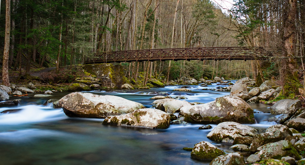
fall seasons places gsmnp
Big Creek
usa fall landscape geotagged unitedstates hiking northcarolina backpacking hdr ola bigcreek waynesville greatsmokymountainsnationalpark gsmnp photomatix crestmont canon7d sigma18250mmf3563dcmacrooshsm bigcreekpicnicarea geo:lat=3575114029 geo:lon=8310867469
On Big Creek
123 along the French Broad
panorama usa sunrise landscape geotagged spring unitedstates hiking tennessee hdr cosby greatsmokymountainsnationalpark gsmnp ptgui photomatix crestmont sigma1020mmf456exdc mountcammerer canon7d nashvillehikingmeetup catonsgrove geo:lat=3576355711 geo:lon=8316127560
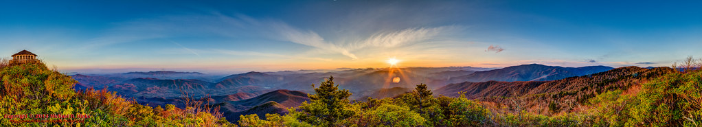
Mount Cammerer 300º Sunrise Panorama (HDR)
usa fall nature landscape geotagged outdoors photography unitedstates hiking tennessee northcarolina hdr waynesville greatsmokymountainsnationalpark crestmont mountcammerer geo:country=unitedstates camera:make=canon exif:make=canon geo:state=northcarolina catonsgrove tamronaf1750mmf28spxrdiiivc exif:lens=1750mm exif:aperture=ƒ16 exif:isospeed=100 exif:focallength=17mm canoneos7dmkii camera:model=canoneos7dmarkii exif:model=canoneos7dmarkii geo:location=crestmont geo:lat=3575242000 geo:lon=8320639500 geo:lat=3576359000 geo:lon=83160833333333 geo:city=waynesville geo:lon=8316094333 geo:lat=35763611666667
Mount Cammerer Sunrise