Elevation of Kent Medford Way, Del Rio, TN, USA
Location: United States > Tennessee > Cocke County > Del Rio >
Longitude: -83.008763
Latitude: 35.848398
Elevation: 613m / 2011feet
Barometric Pressure: 94KPa
Elevation Map:
Satellite Map:
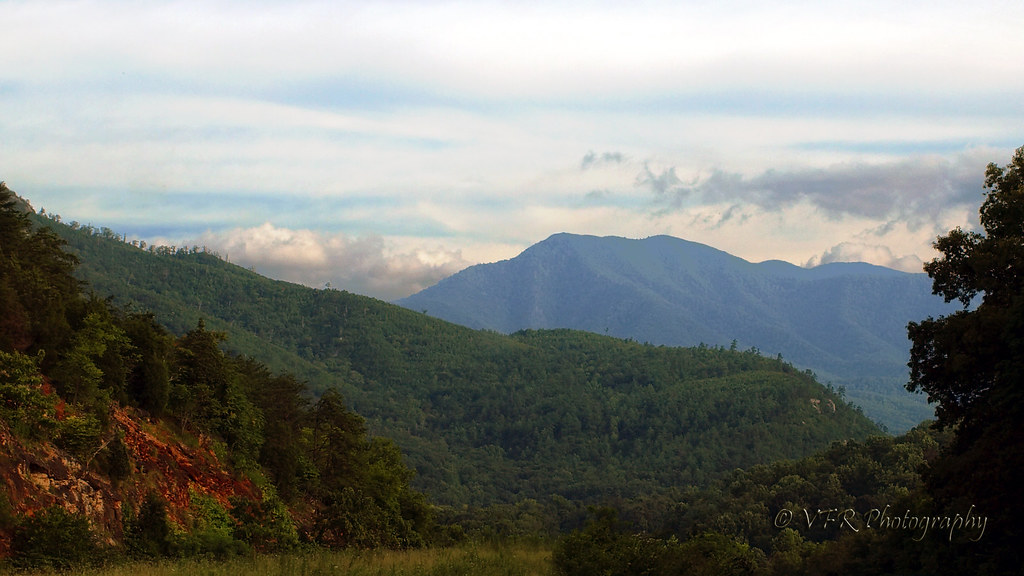
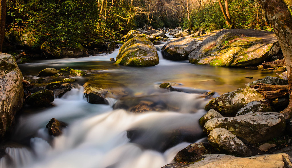
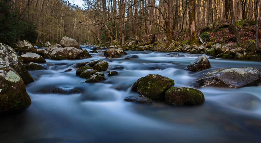
Related Photos:

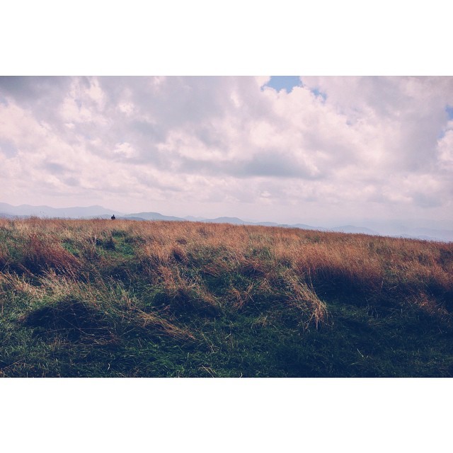
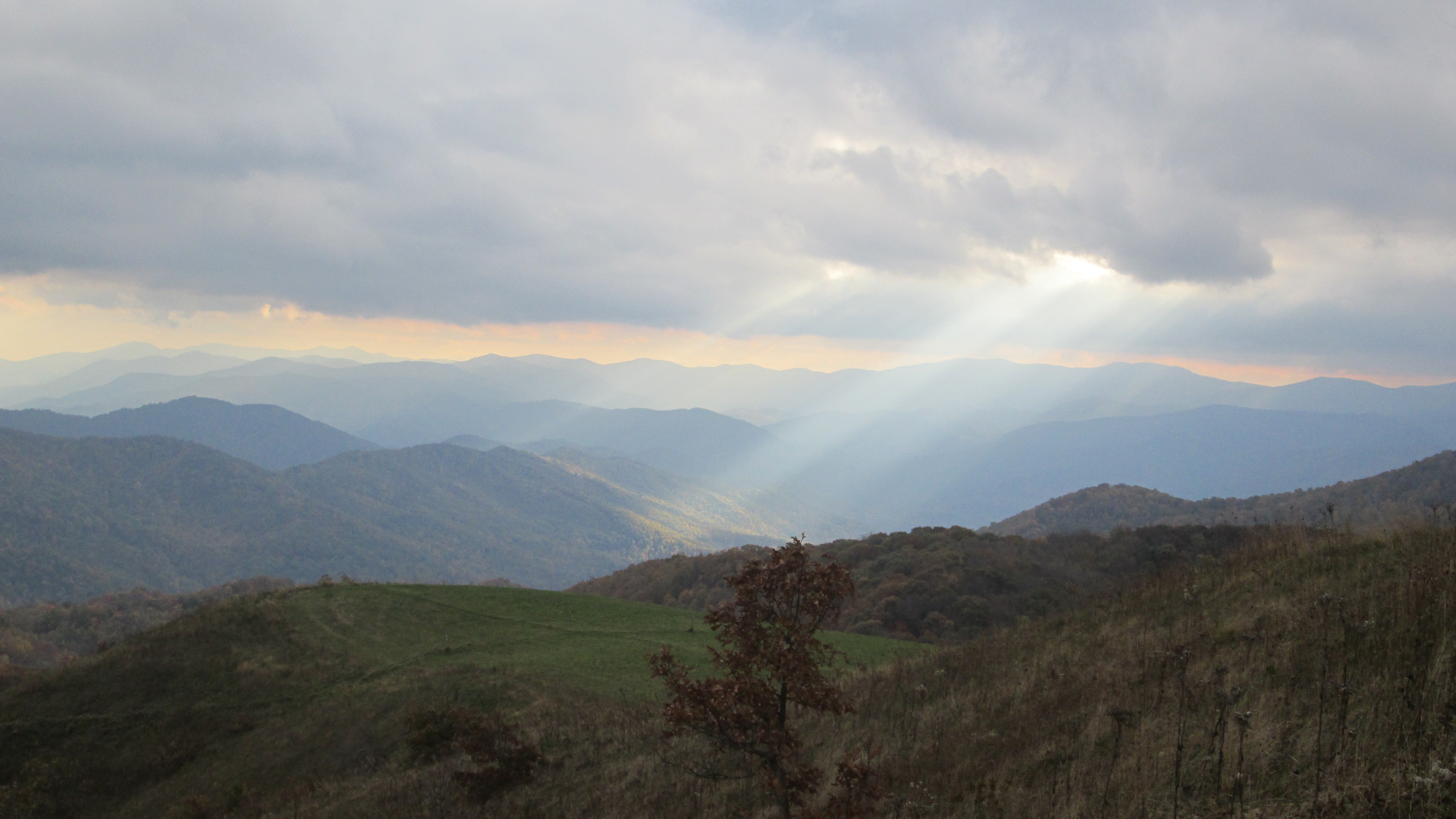
View From Max Patch

Fall on Max Patch

View from Max Patch, looking east
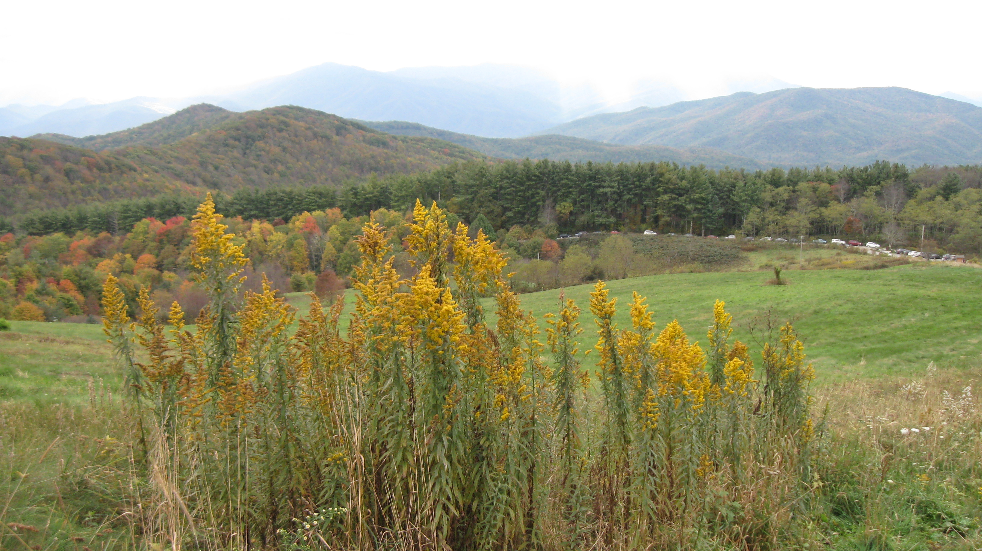
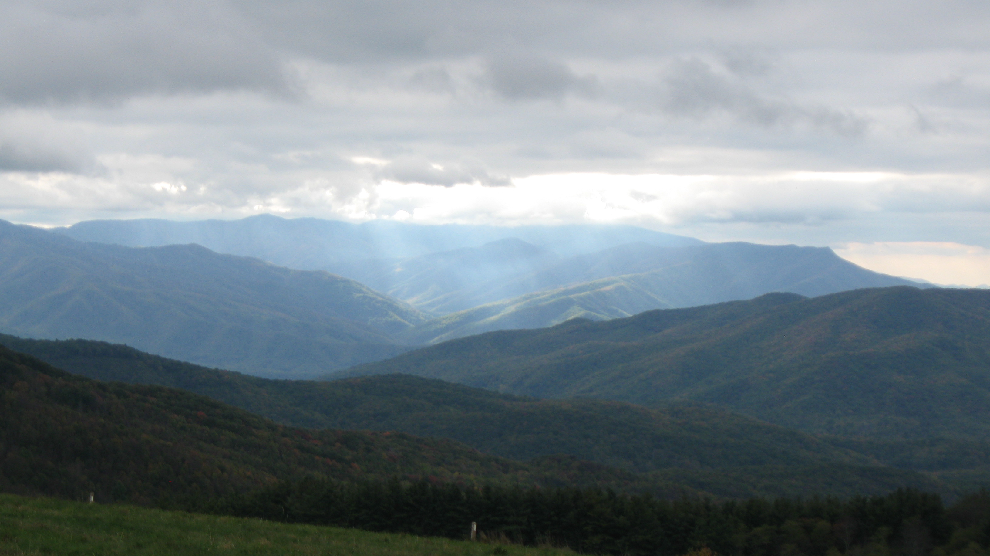
Pre-Gorge view
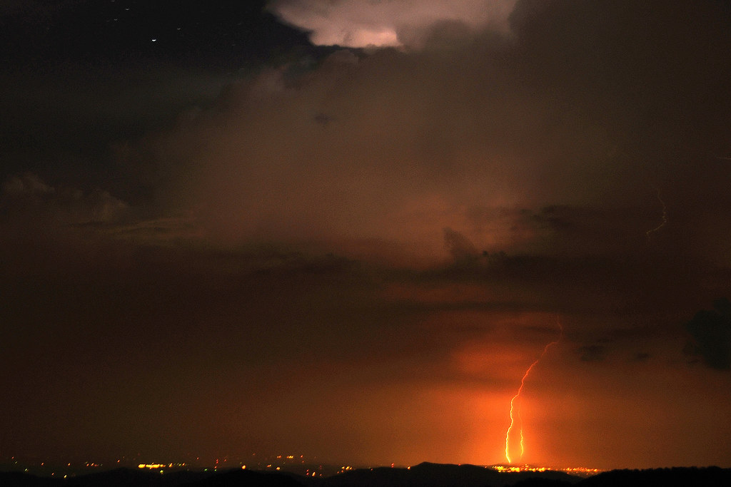
Mjolnir Dances Tonight
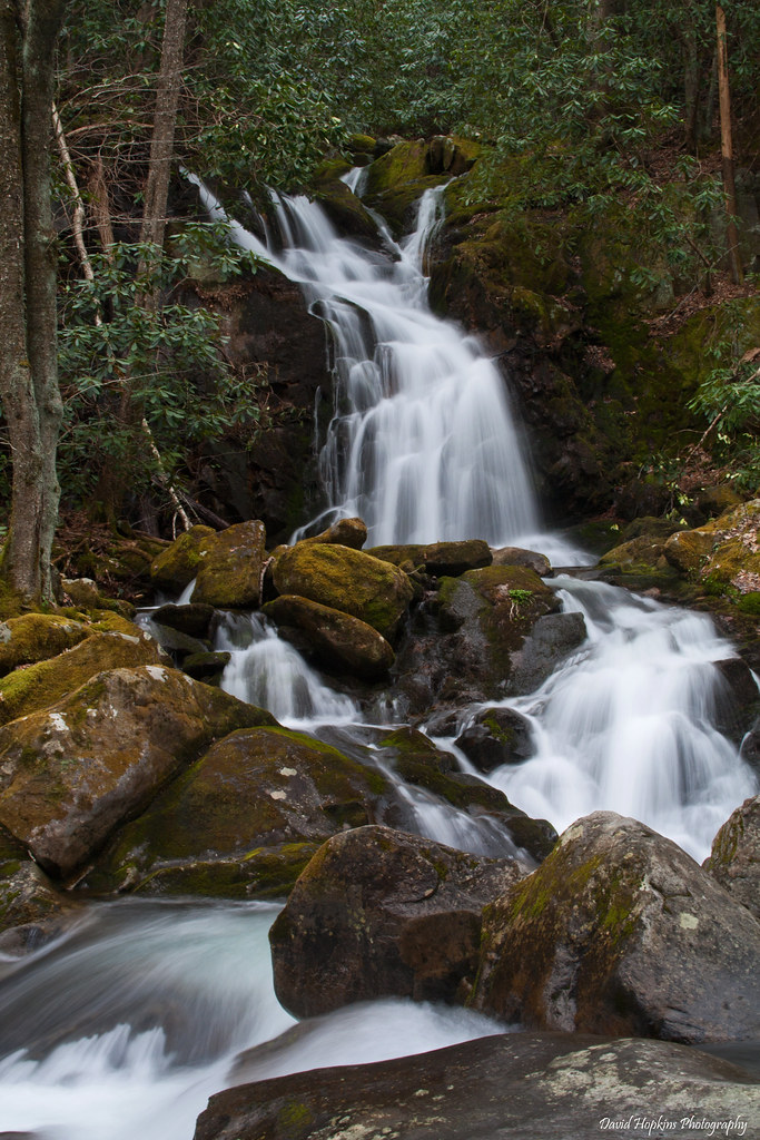
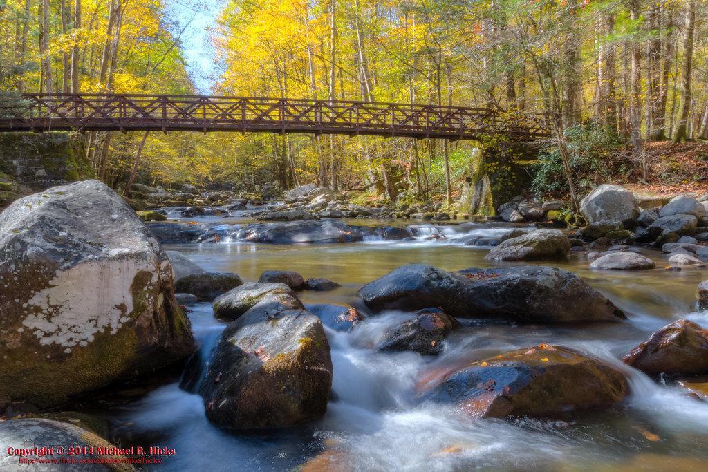
Cascades on Big Creek

Celebrating the 4th of July
Baxter Creek
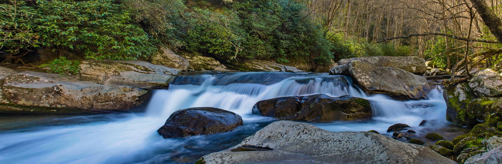
Falls on Big Creek

Wild Geranium

Max Patch

The Smokey Mountains

View from Max Patch

Baxter Creek Trailhead

max patch

Rainbows over Max Patch
Hiked up to Max Patch for 360° of stunning views. #appalachiantrail #maxpatch #northcarolina

View from Max Patch

The Appalachian Trail
Max Patch - October 12, 2013-036
Max Patch - October 12, 2013-051
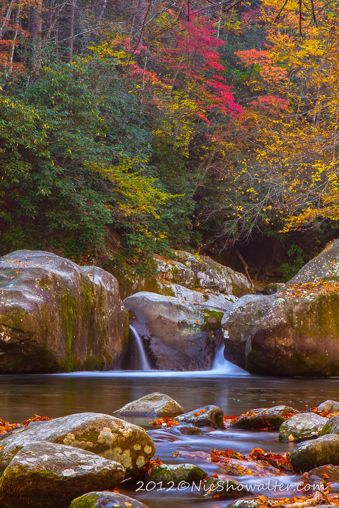
Mouse Creek Falls
Harmon Den Creek in North Carolina.
Max Patch mountain
Big Creek

On Big Creek

Path to the summit

On Big Creek
On Big Creek

Looking west
On Big Creek
On Big Creek

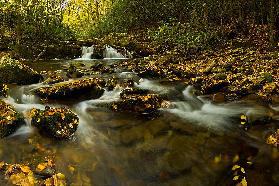
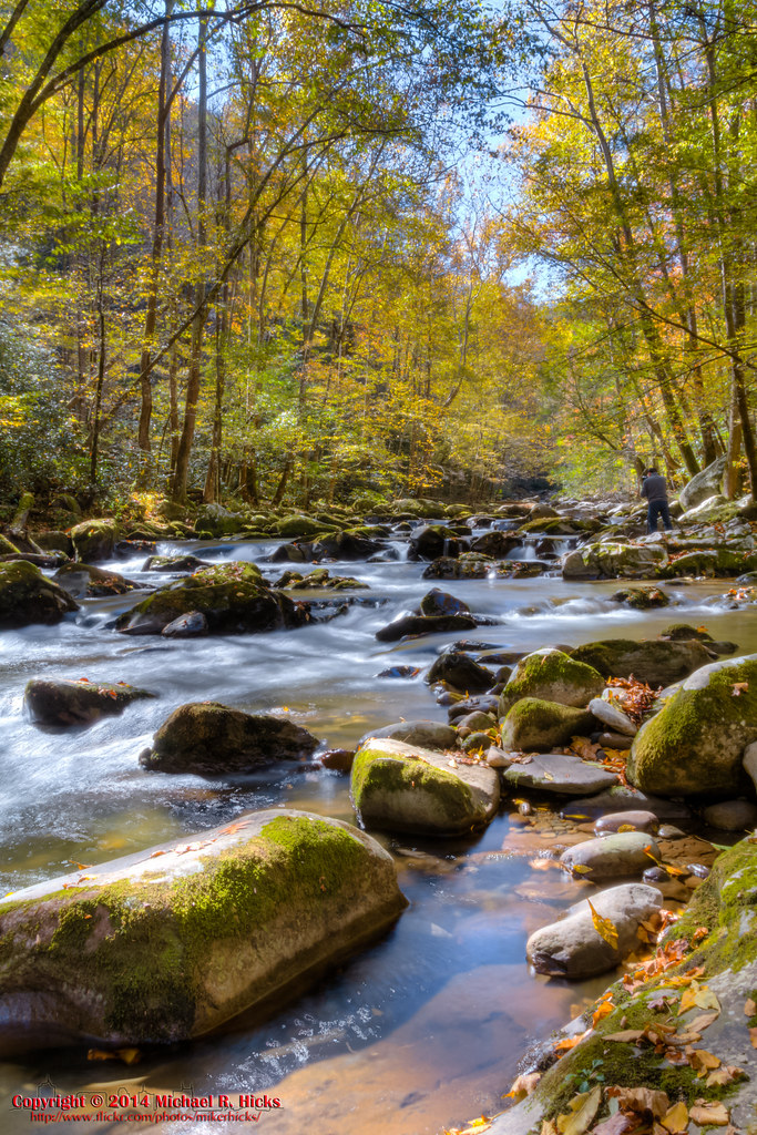
Smoky Mountains Streams
Topographic Map of Kent Medford Way, Del Rio, TN, USA
Find elevation by address:

Places near Kent Medford Way, Del Rio, TN, USA:
570 Kent Medford Way
2565 Spicewood Flats Rd
1464 Blue Mill Rd
1428 Blue Mill Rd
523 Price Cove Rd
1736 Norwood Town Rd
1210 Bull Mountain Rd
1300 Ridge Hollow Rd
820 Reece Hollow Rd
820 Reece Hollow Rd
820 Reece Hollow Rd
Round Mountain Road
1196 Ridge Hollow Rd
Gulf Road
3448 Gulf Rd
5285 Yates Rd
3380 Williams Rd
Tennessee Way
5285 Rag Mountain Rd
Yates Road
Recent Searches:
- Elevation of Lampiasi St, Sarasota, FL, USA
- Elevation of Elwyn Dr, Roanoke Rapids, NC, USA
- Elevation of Congressional Dr, Stevensville, MD, USA
- Elevation of Bellview Rd, McLean, VA, USA
- Elevation of Stage Island Rd, Chatham, MA, USA
- Elevation of Shibuya Scramble Crossing, 21 Udagawacho, Shibuya City, Tokyo -, Japan
- Elevation of Jadagoniai, Kaunas District Municipality, Lithuania
- Elevation of Pagonija rock, Kranto 7-oji g. 8"N, Kaunas, Lithuania
- Elevation of Co Rd 87, Jamestown, CO, USA
- Elevation of Tenjo, Cundinamarca, Colombia