Elevation of Blue Mill Rd, Del Rio, TN, USA
Location: United States > Tennessee > Cocke County > Del Rio >
Longitude: -82.996191
Latitude: 35.856859
Elevation: 506m / 1660feet
Barometric Pressure: 95KPa
Elevation Map:
Satellite Map:
Related Photos:

Rainbows over Max Patch
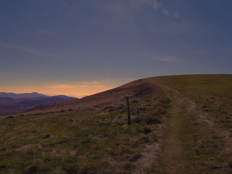
MAX PATCH BALD
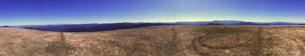
a sweeping view

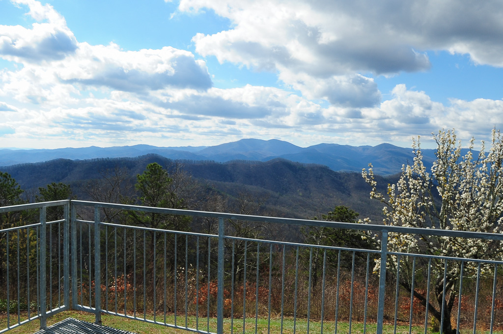
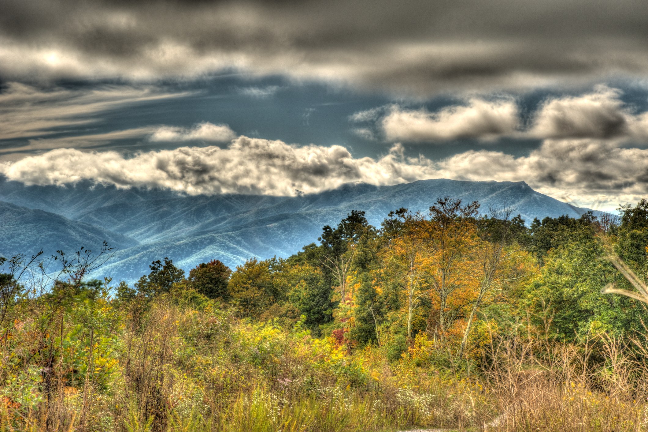
View from Meadow Creek Firetower

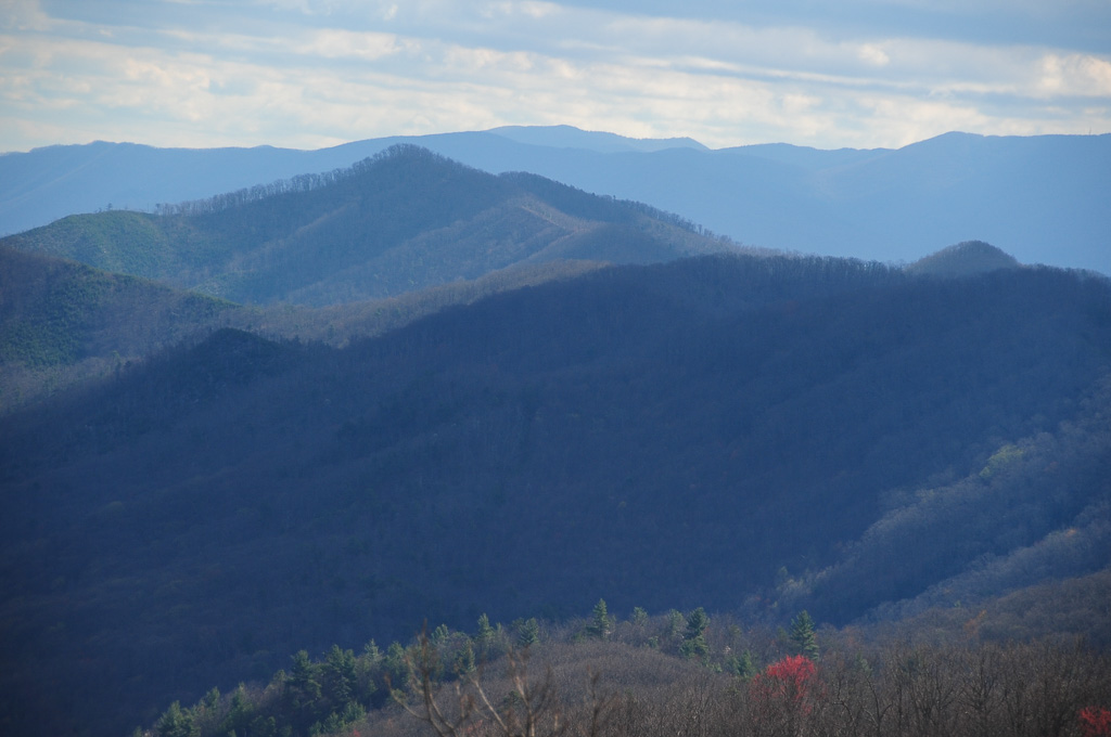
View From Max Patch

Fall on Max Patch

Midnight Hole Falls, 6 feet high

max patch

Houston Valley

tracks & mountains

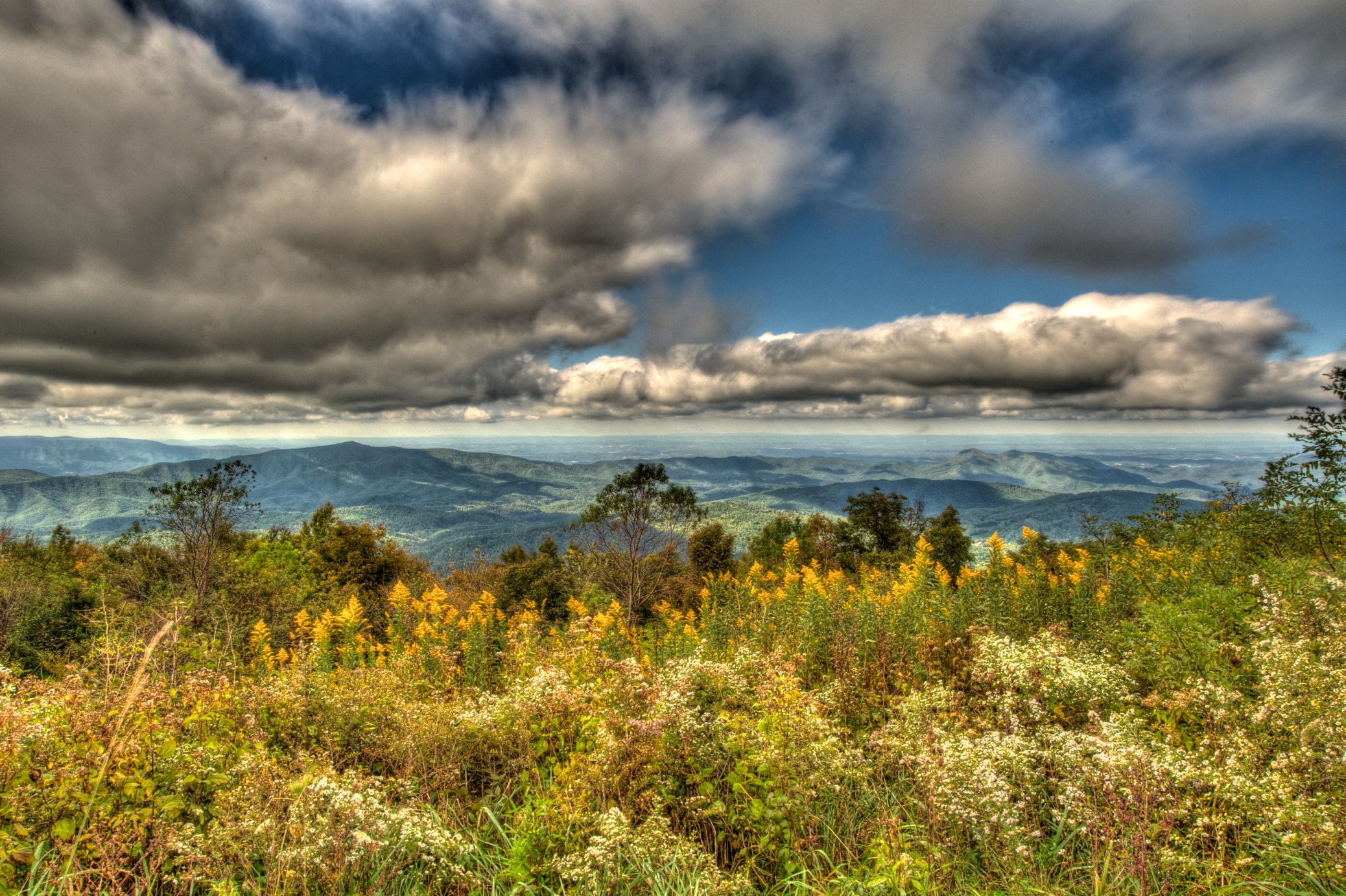
View from Max Patch, looking east

View from Max Patch
View from Meadow Creek Firetower
View of W4T/SU-073 - Cliffy Benchmark
View from Meadow Creek Firetower

Max Patch - October 12, 2013-052
View from Snowbird Mtn - W4T/SU-035

View from Meadow Creek Firetower
View from Snowbird Mtn - W4T/SU-035

This weekend, @thelandmarkproject organized a great group of folks up to Max Patch. We shared stories and smores and great views.

Clouds and Stars during a Lightning Storm

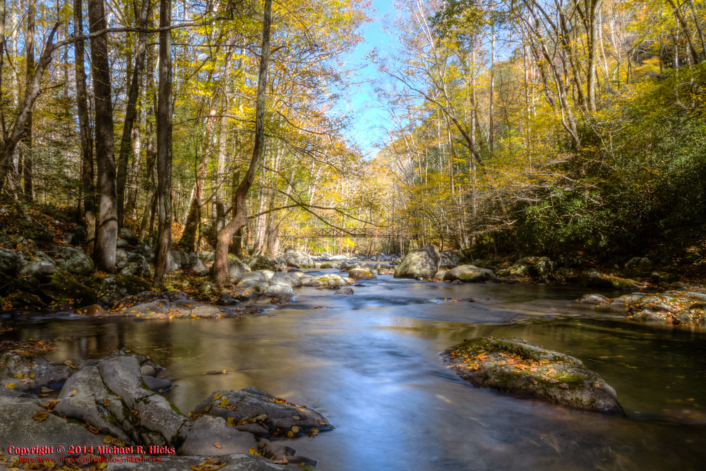
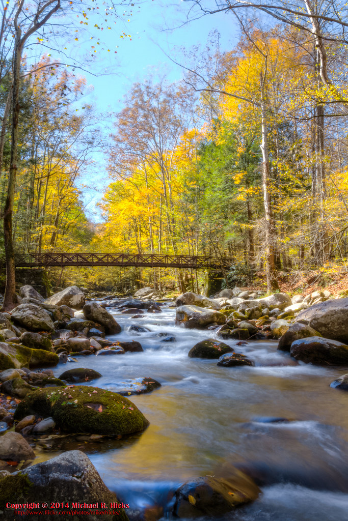
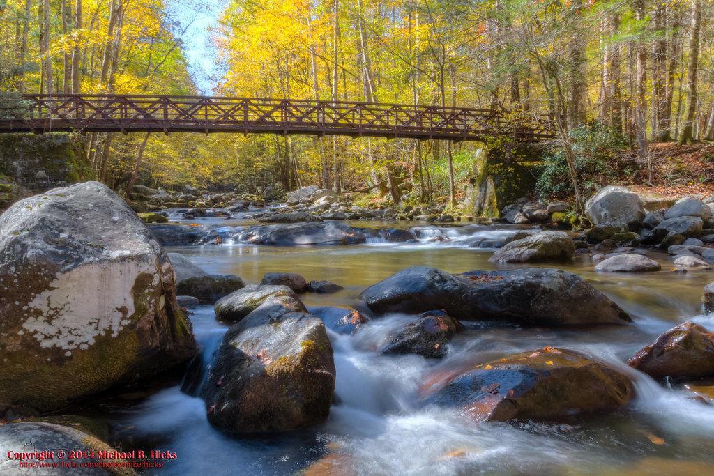
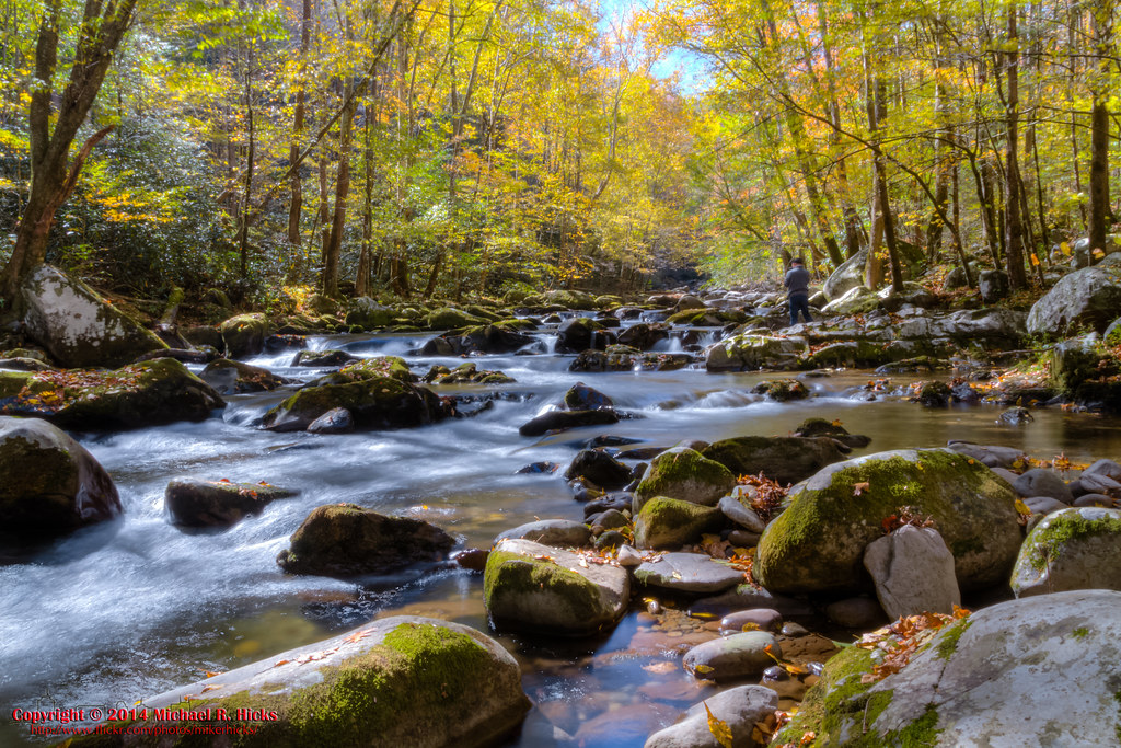
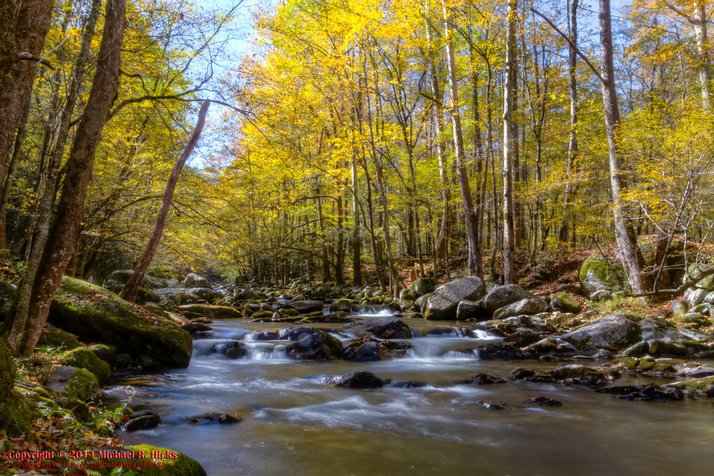
Smoky Mountains Streams
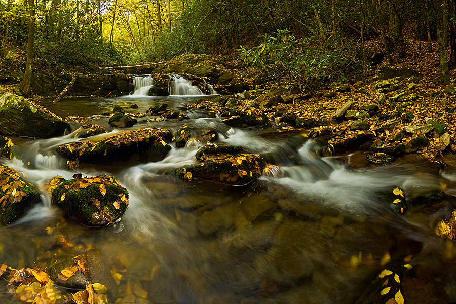
Harmon Den Creek in North Carolina.

On Big Creek

Step into Nature
On Big Creek

On Big Creek

Hot Srings Oct 08 296
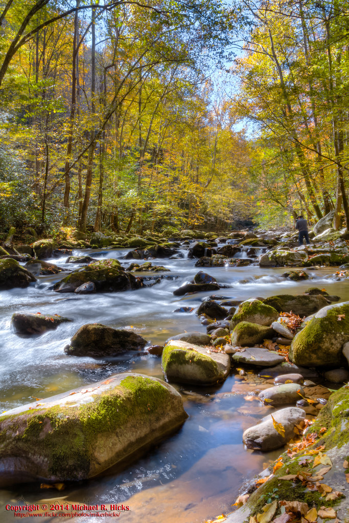
On Big Creek
On Big Creek

Standing on top of #maxpatch , the bald #mountain. Beautiful #sunset behind #clouds
On Big Creek
On Big Creek
On Big Creek
On Big Creek
Topographic Map of Blue Mill Rd, Del Rio, TN, USA
Find elevation by address:

Places near Blue Mill Rd, Del Rio, TN, USA:
1464 Blue Mill Rd
2565 Spicewood Flats Rd
570 Kent Medford Way
581 Kent Medford Way
1736 Norwood Town Rd
Round Mountain Road
523 Price Cove Rd
1210 Bull Mountain Rd
1300 Ridge Hollow Rd
820 Reece Hollow Rd
820 Reece Hollow Rd
820 Reece Hollow Rd
1196 Ridge Hollow Rd
5285 Yates Rd
Gulf Road
3448 Gulf Rd
Tennessee Way
3380 Williams Rd
Yates Road
5285 Rag Mountain Rd
Recent Searches:
- Elevation of Lytham Ln, Katy, TX, USA
- Elevation of Tater Hill, Oklahoma, USA
- Elevation of NY-, Friendship, NY, USA
- Elevation of 64 Danakas Dr, Winnipeg, MB R2C 5N7, Canada
- Elevation of 4 Vale Rd, Sheffield S3 9QX, UK
- Elevation of Keene Point Drive, Keene Point Dr, Grant, AL, USA
- Elevation of State St, Zanesville, OH, USA
- Elevation of Austin Stone Dr, Haslet, TX, USA
- Elevation of Bydgoszcz, Poland
- Elevation of Bydgoszcz, Poland