Elevation of Norwood Town Rd, Del Rio, TN, USA
Location: United States > Tennessee > Cocke County > Del Rio >
Longitude: -82.987157
Latitude: 35.838761
Elevation: 650m / 2133feet
Barometric Pressure: 94KPa
Elevation Map:
Satellite Map:
Related Photos:

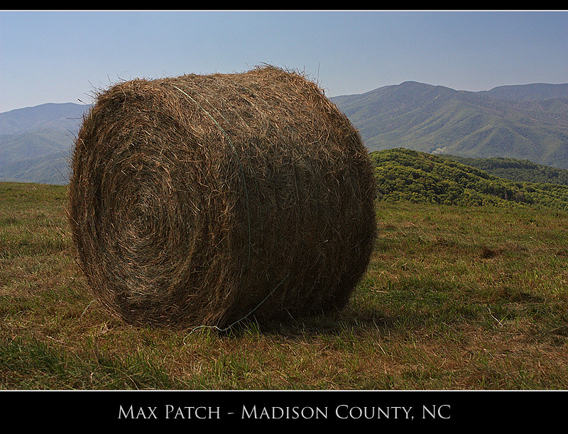
Max Patch

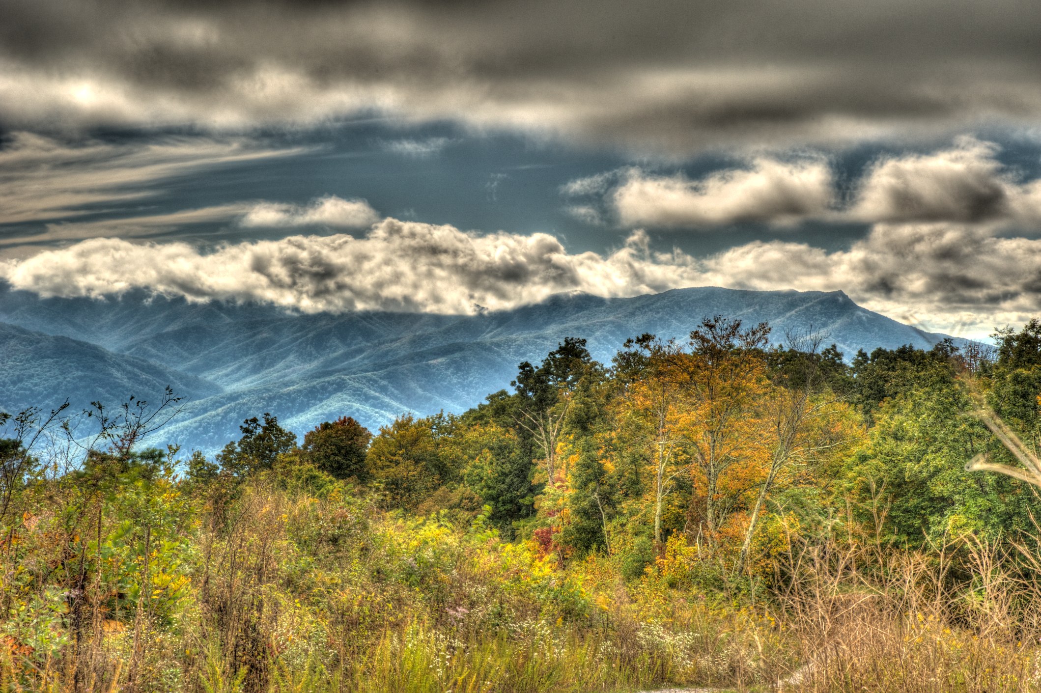
The Smokey Mountains

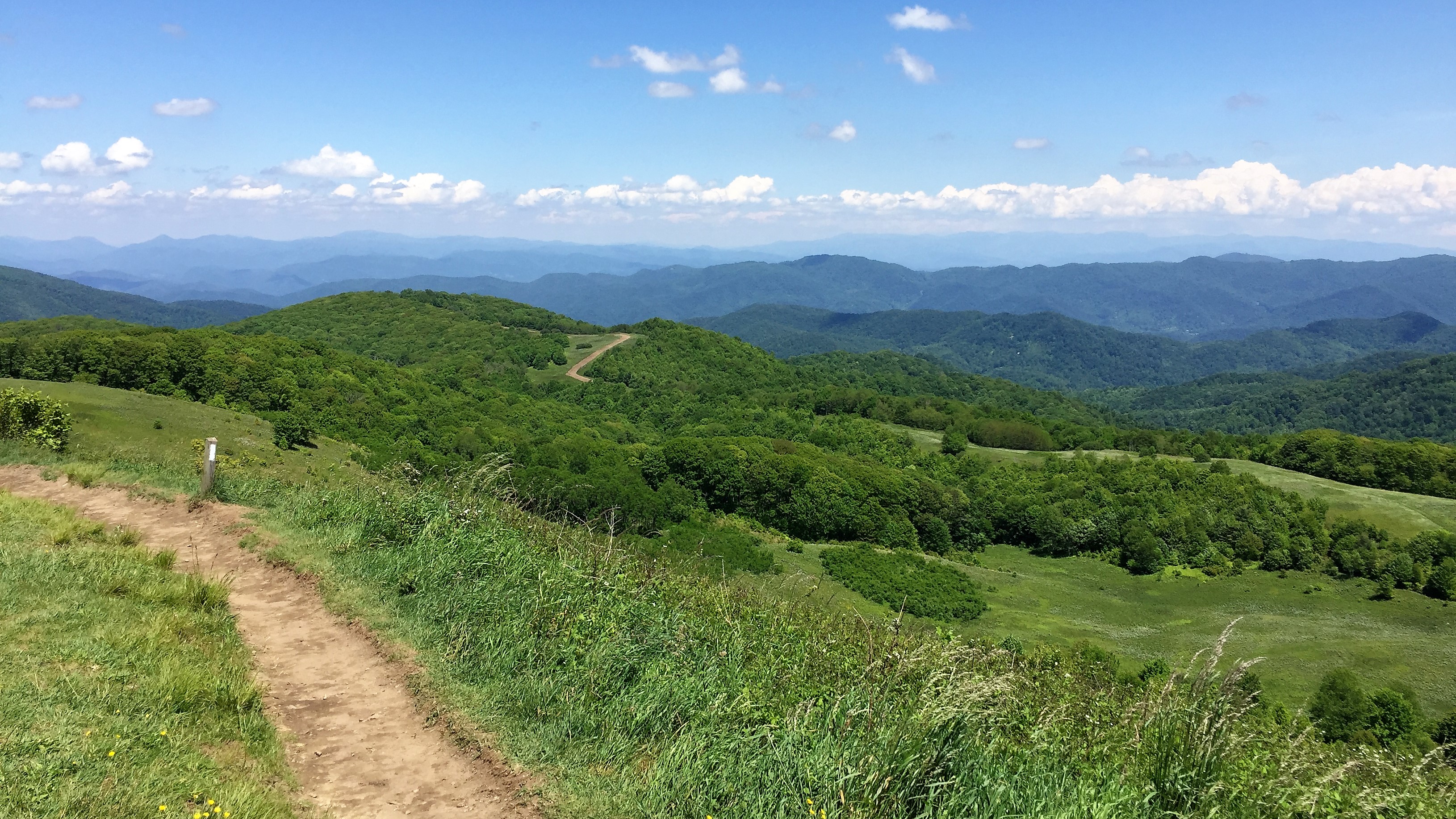
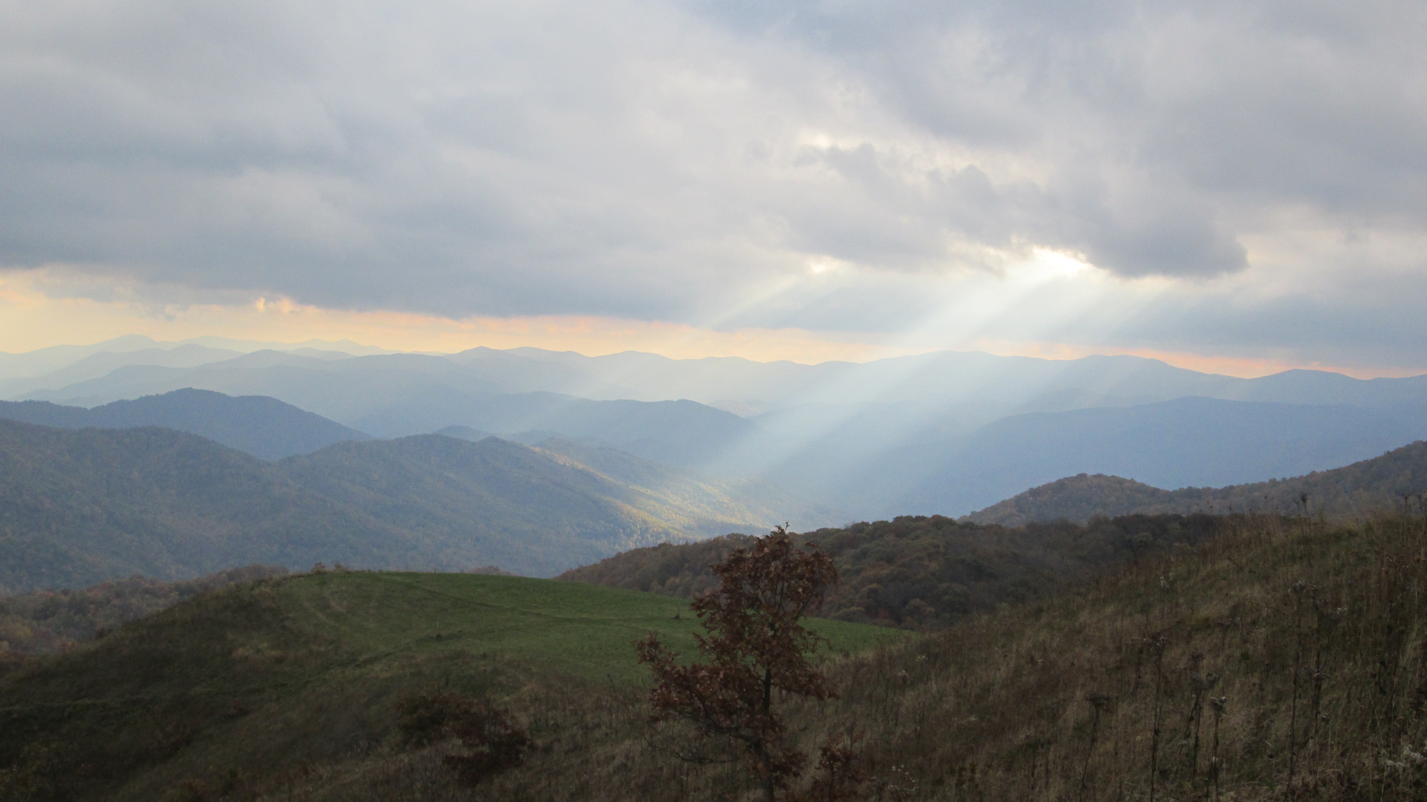
View from Max Patch

Baxter Creek Trailhead
TrackHead Studios - DO NOT TOUCH

Rainbows over Max Patch

IMG_1838_tonemapped-2

Midnight Hole Falls, 6 feet high

Celebrating the 4th of July
View from Max Patch

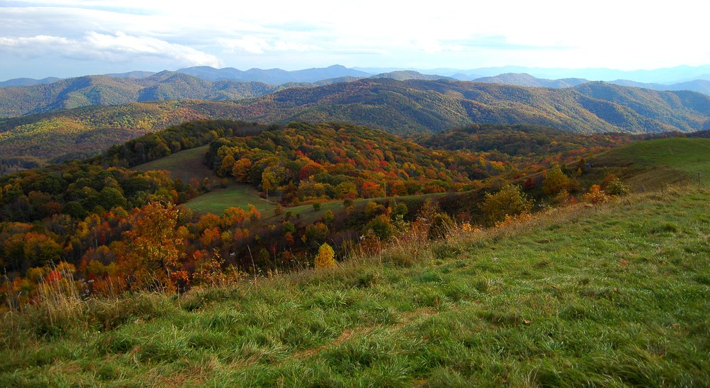
Fall on Max Patch

View from Max Patch, looking east

The Appalachian Trail
Max Patch - October 12, 2013-036

View from Max Patch, looking east

Max Patch - October 12, 2013-052

Max Patch - October 12, 2013-065
Max Patch - October 12, 2013-026

View from Meadow Creek Firetower
View looking north from Max Patch
View from Snowbird Mtn - W4T/SU-035
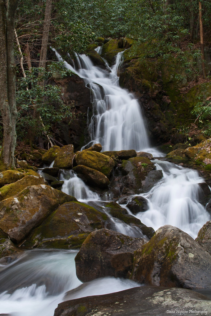
Mouse Creek Falls
Max Patch 03

Smoky Mountains Streams

Little Big Creek
Max Patch
The Road Less Traveled
IMG_3185 (2)
Max Patch mountain

Harmon Den Creek in North Carolina.

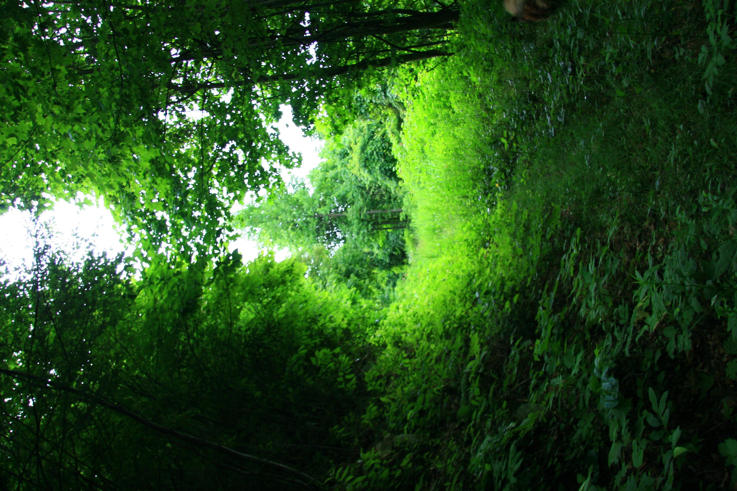
On Big Creek

Big Creek
123 along the French Broad
On Big Creek
On Big Creek

Path to the summit
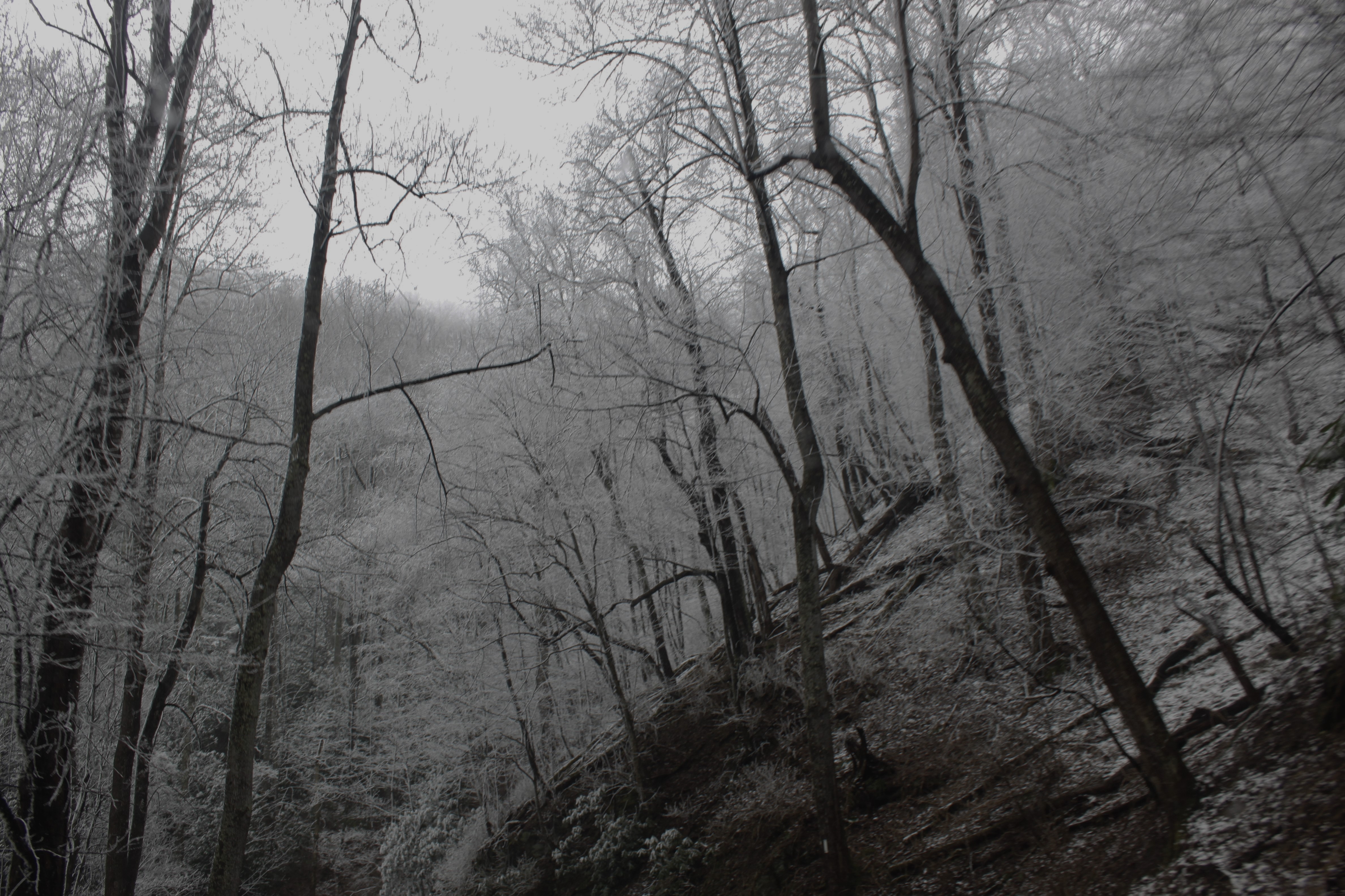
changing colors

Max Patch, N.C. Sunset

On Big Creek
Topographic Map of Norwood Town Rd, Del Rio, TN, USA
Find elevation by address:

Places near Norwood Town Rd, Del Rio, TN, USA:
Round Mountain Road
1464 Blue Mill Rd
1428 Blue Mill Rd
2565 Spicewood Flats Rd
581 Kent Medford Way
570 Kent Medford Way
523 Price Cove Rd
1210 Bull Mountain Rd
820 Reece Hollow Rd
820 Reece Hollow Rd
820 Reece Hollow Rd
1300 Ridge Hollow Rd
Gulf Road
1196 Ridge Hollow Rd
3448 Gulf Rd
5285 Yates Rd
5285 Rag Mountain Rd
3380 Williams Rd
Tennessee Way
Rag Mountain Road
Recent Searches:
- Elevation of Tenjo, Cundinamarca, Colombia
- Elevation of Côte-des-Neiges, Montreal, QC H4A 3J6, Canada
- Elevation of Bobcat Dr, Helena, MT, USA
- Elevation of Zu den Ihlowbergen, Althüttendorf, Germany
- Elevation of Badaber, Peshawar, Khyber Pakhtunkhwa, Pakistan
- Elevation of SE Heron Loop, Lincoln City, OR, USA
- Elevation of Slanický ostrov, 01 Námestovo, Slovakia
- Elevation of Spaceport America, Co Rd A, Truth or Consequences, NM, USA
- Elevation of Warwick, RI, USA
- Elevation of Fern Rd, Whitmore, CA, USA