Elevation of Ridge Hollow Rd, Del Rio, TN, USA

Location: United States > Tennessee > Cocke County > Del Rio >

Longitude: -83.047653

Latitude: 35.8497492

Elevation: 793m / 2602feet

Barometric Pressure: 92KPa

Elevation Map:

elevation map of Ridge Hollow Rd, Del Rio, TN, USA

Satellite Map:

Satellite map of Ridge Hollow Rd, Del Rio, TN, USA

Related Photos:

baxtercreek baxtercreektrail bridge greatsmokeymountainsnationalpark gsmnp appalachians mountains hike outdoors water waterfall creek northcarolina nationalpark bigcreek bigcreektrails
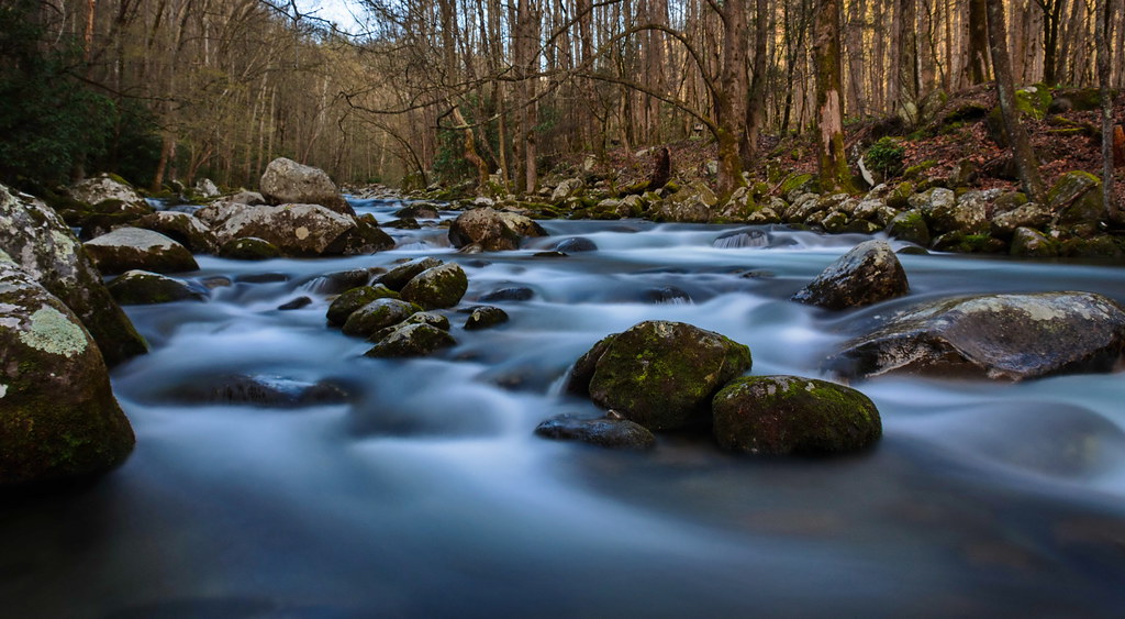
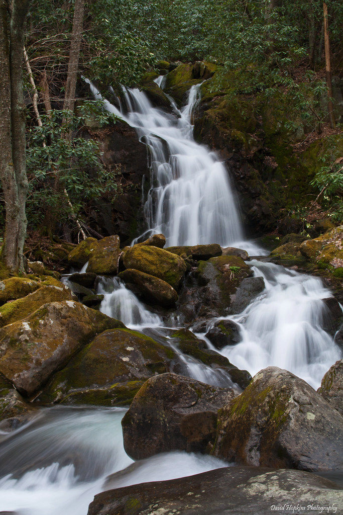
Cascades on Big Creek
baxtercreek baxtercreektrail bridge greatsmokeymountainsnationalpark gsmnp appalachians mountains hike outdoors water waterfall creek northcarolina nationalpark bigcreek bigcreektrails
Baxter Creek
baxtercreek baxtercreektrail bridge greatsmokeymountainsnationalpark gsmnp appalachians mountains hike outdoors water waterfall creek northcarolina nationalpark
Falls on Big Creek
smokymountains adamhall greatsmokymountainsnationalpark trackhead hikingthesmokys trackheadstudios trackheadxxx
TrackHead Studios - Vista
baxtercreek baxtercreektrail bridge greatsmokeymountainsnationalpark gsmnp appalachians mountains hike outdoors water waterfall creek northcarolina nationalpark bigcreek bigcreektrails
Baxter Creek Trailhead
smokymountains adamhall greatsmokymountainsnationalpark trackhead hikingthesmokys trackheadstudios trackheadxxx
TrackHead Studios - Clouds Crawl Along
Autumn on Midnight Hole
greatsmokymountains greatsmokymountainsnationalpark mountcammerer architecture firetower hiking landscape landscapephotography mountainview mountainvista mountains nature naturephotography outdoorphotography outdoors rocky
Mount Cammerer
mountains geotagged nc view hikes maxpatch mayapples 20050521 geolon8295590 geolat35798200 zensutherland
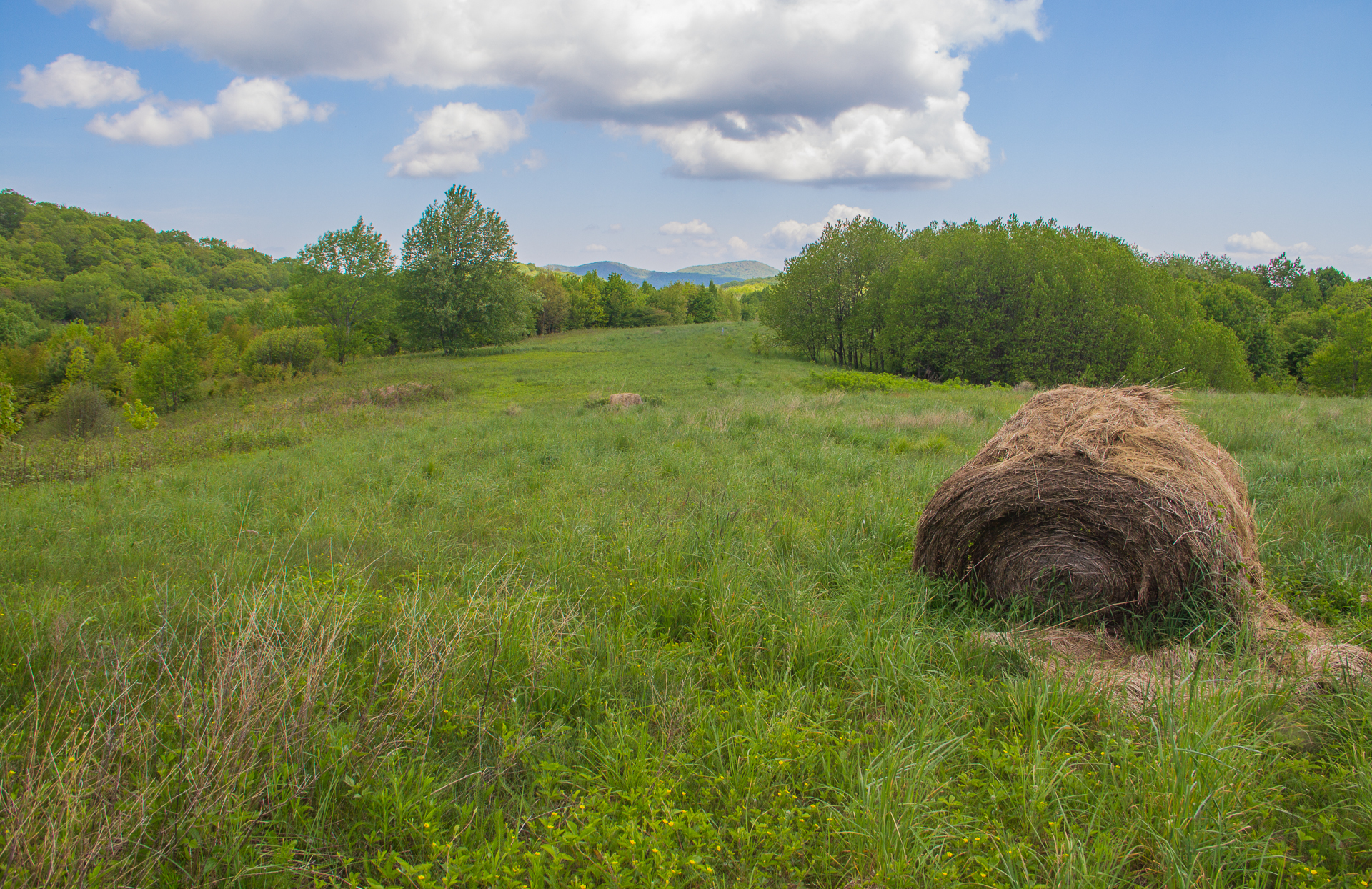
max patch mayapple fields
View of the Cosby Creek Valley from the Foothills Parkway Between I-40 and Gatlinburg, Tennessee
park mountains great north national carolina smoky mousecreekfalls bigcreektrail netbros internetbrothers
Mouse Creek Falls, Great Smoky Mountains National Park, North Carolina
northcarolina haybale pisgahnationalforest maxpatch netbros internetbrothers buckeyeridge
Buckeye Ridge, Max Patch, North Carolina
Unexpected Joy
longexposure nc moss rocks hiking northcarolina hike trail rhododendron bigcreek greatsmokymountainsnationalpark gsmnp mousecreekfalls haywoodcounty davidhopkinsphotography
Mouse Creek Falls from Trail
barbdpics sonydscrx100m3 northcarolina maxpatch
The Appalachian Trail
smokymountains adamhall greatsmokymountainsnationalpark trackhead hikingthesmokys trackheadstudios trackheadxxx
TrackHead Studios - Shady Mountain Top
mountains blueridge appalachianmountains at
Very hazy view of Tenn from Max Patch
adamhall greatsmokymountainsnationalpark trackhead trackheadstudios trackheadxxx
TrackHead Studios - Forest Valley
barbdpics sonydscrx100m3 northcarolina maxpatch ourdailychallenge odc standingout
Celebrating the 4th of July
adamhall trackhead trackheadstudios trackheadxxx
TrackHead Studios - The Scenic Route
longexposure nc moss rocks northcarolina hdr swimminghole bigcreek greatsmokymountainsnationalpark gsmnp tonemapped haywoodcounty midnighthole davidhopkinsphotography
Let's go for a Swim
sunset appachia blue ridge nature outdoors landscape mountains max patch wilderness north carolina
Max Patch NC Sunset
longexposure nc moss rocks hiking northcarolina hike rhododendron bigcreek greatsmokymountainsnationalpark gsmnp mousecreekfalls davidhopkinsphotography
Mouse Creek Falls
longexposure waterfall nc moss rocks hike rhododendron wnc greatsmokymountainsnationalpark westernnorthcarolina mousecreekfalls haywoodcounty waterfallphotography davidhopkinsphotography
Mouse Creek Falls
adamhall trackhead trackheadstudios trackheadxxx
TrackHead Studios - Foothills of Smoky Mts.
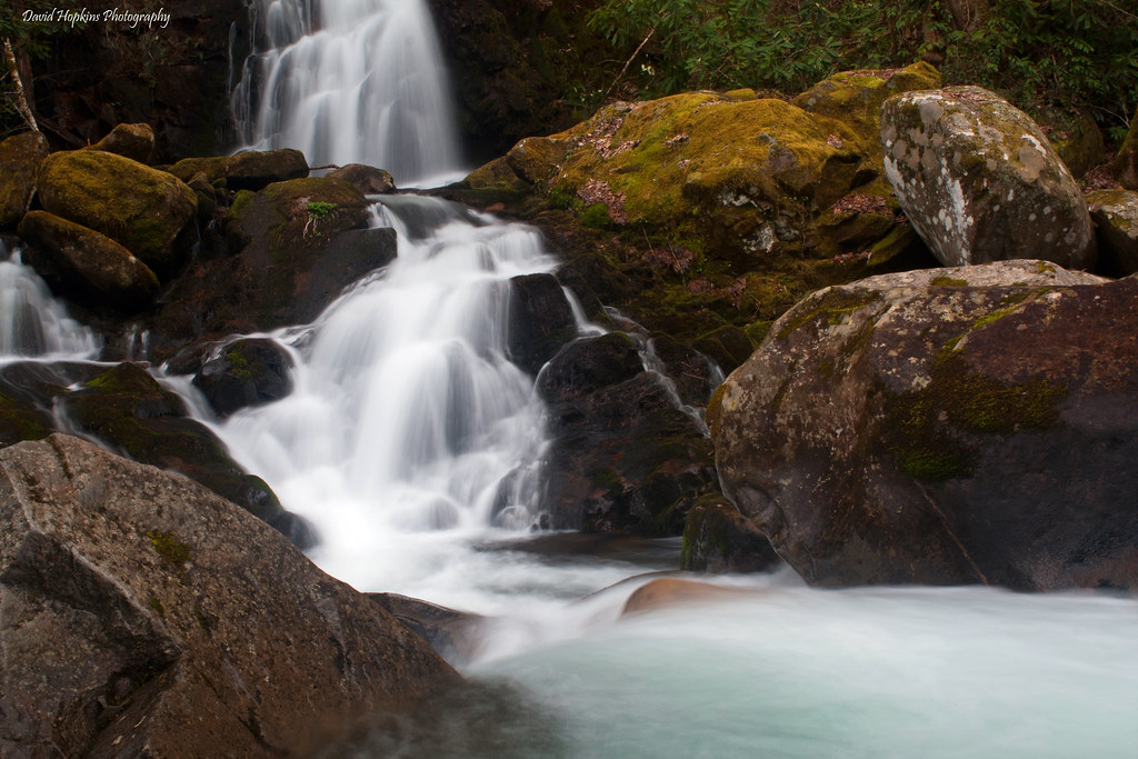
longexposure creek nc moss rocks stream bluewater northcarolina bigcreek greatsmokymountainsnationalpark gsmnp westernnorthcarolina mousecreekfalls haywoodcounty davidhopkinsphotography
Mouse Creek Falls
2jtrip2013 5dmarkii 5d2 5dii 5dmkii americansouth bigcreek cpl canoneos5dmkii carolinas cothronphotography distagon2128ze distagont2821ze dixie greatsmokymountainnationalpark haywoodcounty johncothron mousecreekfalls mtsterling nc northcarolina southatlanticstates southernregion thesouth us usa unitedstatesofamerica waynesville zeissdistagont2821ze circularpolarizingfilter cloudy creek diffuse falling flowing forest freshwater landscape longexposure morninglight moss mountain nature outdoor outside overcast rain river rock scenic spring stormyweather stream travel water waterfall img11011130518 ©johncothron2013 bigcreekgreatsmokymountainnationalpark
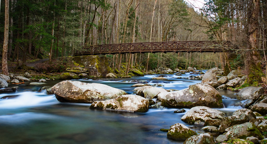
Big Creek, Great Smoky Mountain National Park
2jtrip2013 5dmarkii 5d2 5dii 5dmkii americansouth bigcreek cpl canoneos5dmkii carolinas cataloochee cothronphotography distagon2128ze distagont2821ze dixie georgiaphotographer greatsmokymountainnationalpark haywoodcounty johncothron mousecreekfalls mtsterling nc northcarolina southatlanticstates southernregion thesouth us usa usaphotography unitedstatesofamerica waynesville zeissdistagont2821ze circularpolarizingfilter cloudy creek diffuse falling flowing forest freshwater landscape longexposure morninglight moss mountain nature outdoor outside overcast precipitation rain raining river rock scenic spring stormyweather stream travel vegetation water waterfall img110101305184102018 ©johncothron2013 bigcreekspring
Big Creek Spring
123 along the French Broad
harmondencreekpedited3
Harmon Den Creek in North Carolina.