Elevation of Rd, Cecil, OH, USA

Location: United States > Ohio > Paulding County > Cecil >

Longitude: -84.475967

Latitude: 41.2074008

Elevation: 216m / 709feet

Barometric Pressure: 99KPa

Elevation Map:

elevation map of Rd, Cecil, OH, USA

Satellite Map:

Satellite map of Rd, Cecil, OH, USA

Related Photos:

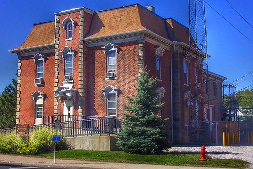
pauldingcounty paulding town small old county jail sheriff sheriffs house lived 112 s william st families 1977 downtown 1874 railroad limestone kodak village museum landmark nrhp onasill historic historical italianate architecture style jailhouse 133
Paulding Ohio - Old County Jail - Sheriff and their families lived at the jail until 1977
ndw csx interlocking defiance railroadsignal railroadcrossing derail
ND&W-CSX diamonds at Defiance
blackandwhite dog selfportrait dark outside hand rags sp leash terrior dogsitting petsitting lateatnight walkingthedog partofme 365days maledog terriormix
Day 238 - Walking Rags
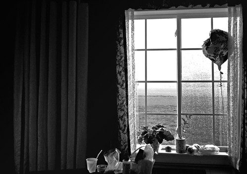
blackandwhite bw window room canonpowershots90 canons90
From Mom's Room
defianceohio dhs djhs contstruction
View of Current High School from 2nd floor classroom. Student drop off and parking lots in the future.
defianceohio djhs defiancemiddleschool
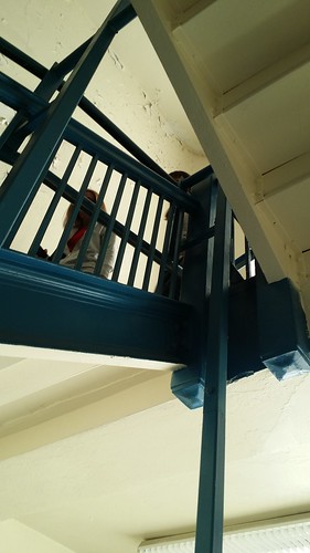
Another view of the mechanical lift.
ohio summer august blueskies 2012 defiance maumeeriver riversandstreams canon24105l defiancecounty august2012
Behind the Library
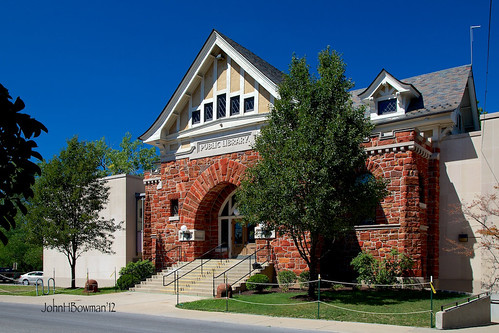
ohio libraries august blueskies 2012 defiance governmentbuildings nrhp canon24105l defiancecounty defiancepubliclibrary august2012
Public Library - Defiance
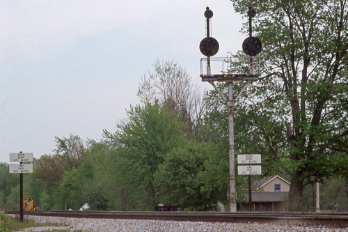
railroad light ohio color north baltimore bo signal position cpl csx
CSX_Sherwood-OH-EB-signals_EY1997-1
county ohio courthouse defiance countycourthouse usccohdefiance
Defiance County Courthouse (Ohio)
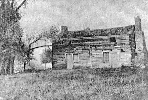
county trees ohio chimney house stone farmhouse log exterior farm symmetry junction historic steeple vacant hudson residence twostory demolished township intact dwelling joist paulding shadrach chinking notching daubing crosswall ca1890 auglaize mortises fourbay ca1819
Shadrach Hudson Log House — Auglaize Township, Paulding County, Ohio
renovations learningcommons defiancecollege pilgrimlibrary collaborativelearningspace
Rarely used "study carrel" monstrosity taken apart
flickrandroidapp:filter=mammoth
View from the laundry
defiancecollege pilgrimlibrary
Coffee Shop Moved
defiance defianceohio
05-03-2006 Defiance Ohio view
View from my front porch
defiancecollege pilgrimlibrary
Excellent view
renovations shelving learningcommons defiancecollege pilgrimlibrary collaborativelearningspace
Look...a view
defianceohio dhs djhs contstruction
Another view of the Gym
41° 16' 25.4" N 84° 30' 13.2" W0.0IMG_419810:52:42Apr 22, 2014
Masterpiece April 2017
Late Evening Luck
oakwood ohio unitedstates
Oakwood, OH
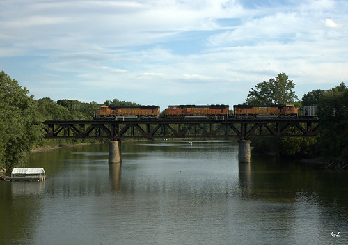
ohio river d70s bnsf 2007 defiance csx
Auglaize River - Defiance
Barley and Hops Tom Sauer (4)
Barley and Hops Tom Sauer (3)
ohio football stadiums defianceohio defiancecollege defianceyellowjackets defiancecountyohio coresselstadium justinfcoresselstadium
Coressel Stadium, Defiance (Ohio), 28 July 2015
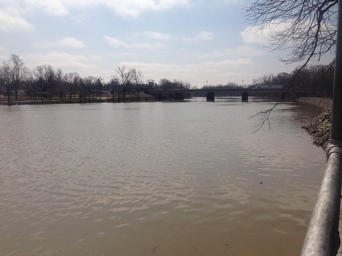
maumeeriver
Maumee River
statutes riversidecemetery cemeterystatue
Angel Statue with flower (landscape)
0003-HDR
maumeeriver uploaded:by=flickrmobile flickriosapp:filter=nofilter
Map test
square squareformat 1977 iphoneography instagramapp uploaded:by=instagram
I am exploring my relationship to the #landscape
maumeeriver uploaded:by=flickrmobile flickriosapp:filter=nofilter
Map test
0007-HDR
007-HDR
41° 17' 22.5" N 84° 30' 14.8" W0.0IMG_420511:15:19Apr 22, 2014
41° 17' 23.2" N 84° 30' 14.6" W0.0IMG_420611:15:56Apr 22, 2014
41° 16' 57.4" N 84° 30' 23.3" W0.0IMG_420311:03:56Apr 22, 2014
41° 16' 42.2" N 84° 30' 5.7" W0.0IMG_420010:57:37Apr 22, 2014
41° 17' 41.6" N 84° 29' 41.8" W0.0IMG_420916:38:37Apr 23, 2014