Elevation of Paulding, OH, USA
Location: United States > Ohio > Paulding County >
Longitude: -84.580508
Latitude: 41.1381051
Elevation: 220m / 722feet
Barometric Pressure: 99KPa
Elevation Map:
Satellite Map:
Related Photos:

Paulding Ohio - Old County Jail - Sheriff and their families lived at the jail until 1977

Preserved_Payne-OH_NKP411_081712-1

Preserved_Payne-OH_Depot_081712-1

From Mom's Room

Shadrach Hudson Log House — Auglaize Township, Paulding County, Ohio

Preserved_Payne-OH_NKP411_081712-2

Preserved_Payne-OH_Depot-NKP411_081712-2

simply wheat

P7101157.jpg

NS Westbound Payne OH

Dedicated to Mom

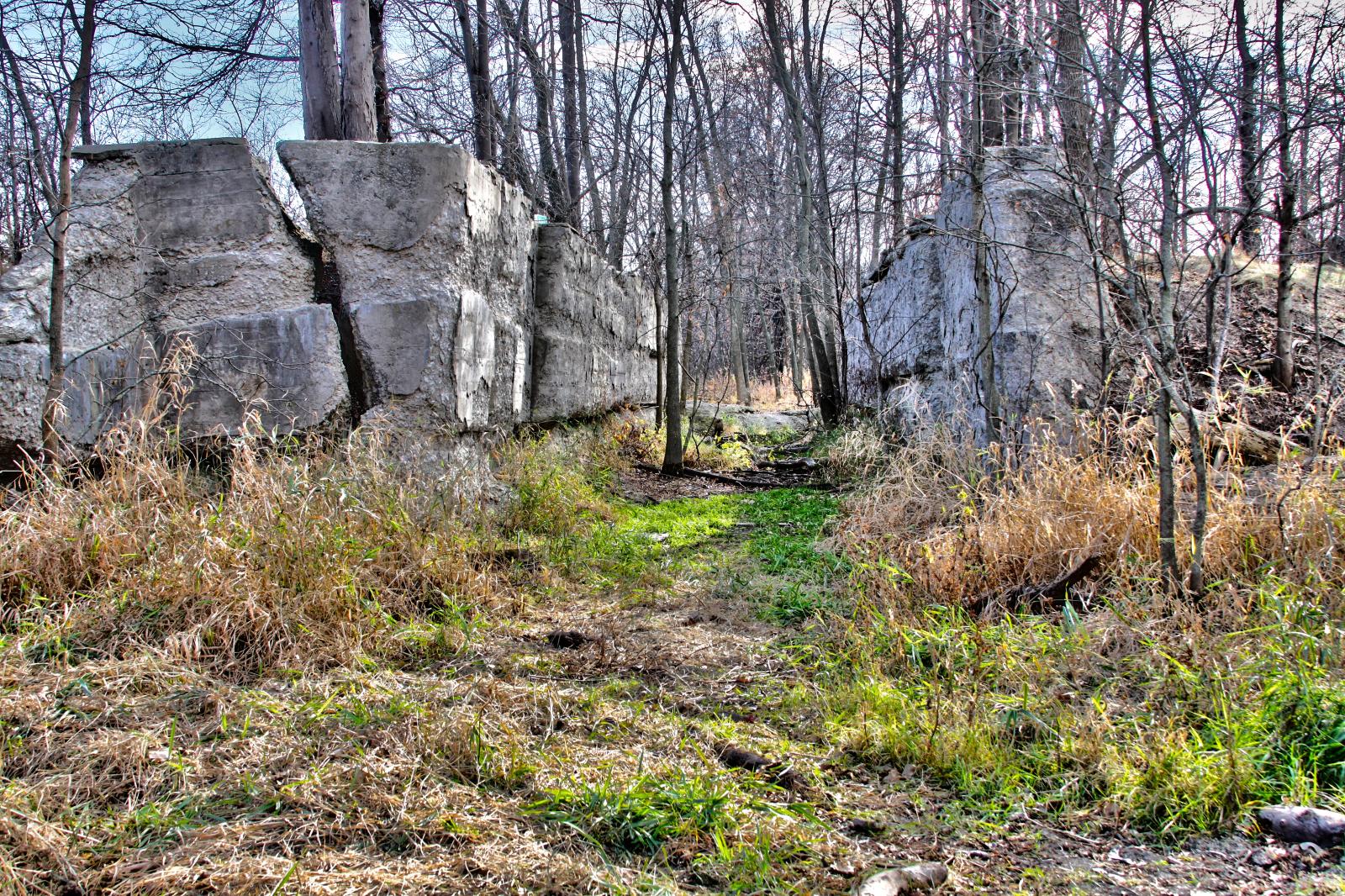
Landscape — Latty Township, Paulding County, Ohio

Landscape — Latty Township, Paulding County, Ohio

Landscape — Latty Township, Paulding County, Ohio

September in the Heartland

Landscape — Latty Township, Paulding County, Ohio

Dedicated to Mom

Landscape — Blue Creek Township, Paulding County, Ohio

Dedicated to Mom

41° 11' 18.5" N 84° 45' 4.6" W0.02014:04:21 14:40:0914:40:09IMG_4141

0003-HDR

41° 11' 13.3" N 84° 44' 17.2" W0.02014:04:21 15:11:1515:11:15IMG_4170

41° 11' 16.9" N 84° 44' 23.8" W0.02014:04:21 15:09:3315:09:33IMG_4166

41° 11' 8.4" N 84° 44' 8.6" W0.02014:04:21 15:13:2315:13:23IMG_4175

41° 11' 16.9" N 84° 44' 23.4" W0.02014:04:21 15:09:3715:09:37IMG_4167
0007-HDR

007-HDR

41° 11' 12.9" N 84° 44' 16.7" W0.02014:04:21 15:11:2615:11:26IMG_4173
Topographic Map of Paulding, OH, USA
Find elevation by address:

Places near Paulding, OH, USA:
N Williams St, Paulding, OH, USA
Rd 72, Haviland, OH, USA
Cecil
Rd, Cecil, OH, USA
OH-, Paulding, OH, USA
Emerald Township
Haviland
E Main St, Van Wert, OH, USA
Paulding County
15918 Rd 143
Blue Creek Township
Co Rd, Defiance, OH, USA
5100 Township Rd 59
Scott
Blaine St, Scott, OH, USA
Sherwood
Payne
Brown Township
Meadowlark Ln, Payne, OH, USA
Wayne St, Melrose, OH, USA
Recent Searches:
- Elevation of Royal Ontario Museum, Queens Park, Toronto, ON M5S 2C6, Canada
- Elevation of Groblershoop, South Africa
- Elevation of Power Generation Enterprises | Industrial Diesel Generators, Oak Ave, Canyon Country, CA, USA
- Elevation of Chesaw Rd, Oroville, WA, USA
- Elevation of N, Mt Pleasant, UT, USA
- Elevation of 6 Rue Jules Ferry, Beausoleil, France
- Elevation of Sattva Horizon, 4JC6+G9P, Vinayak Nagar, Kattigenahalli, Bengaluru, Karnataka, India
- Elevation of Great Brook Sports, Gold Star Hwy, Groton, CT, USA
- Elevation of 10 Mountain Laurels Dr, Nashua, NH, USA
- Elevation of 16 Gilboa Ln, Nashua, NH, USA