Elevation of Rd, Cecil, OH, USA
Location: United States > Ohio > Paulding County > Emerald Township >
Longitude: -84.553717
Latitude: 41.230013
Elevation: 219m / 719feet
Barometric Pressure: 99KPa
Elevation Map:
Satellite Map:
Related Photos:
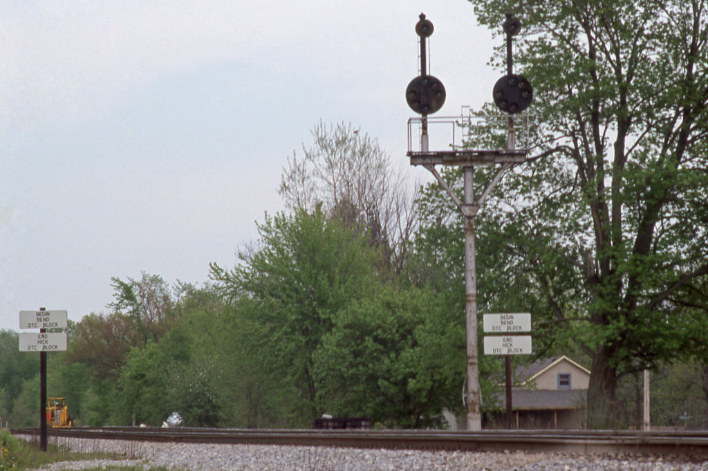
CSX_Sherwood-OH-EB-signals_EY1997-1
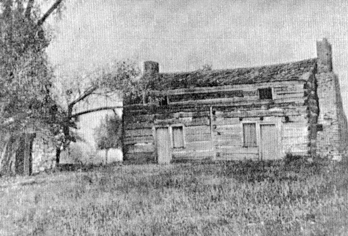
Shadrach Hudson Log House — Auglaize Township, Paulding County, Ohio

From Mom's Room

View from my front porch

41° 16' 54.6" N 84° 23' 51.1" W0.0IMG_428013:09:22Apr 22, 2014
41° 11' 50.8" N 84° 44' 19.8" W0.02014:04:21 14:58:0414:58:04IMG_4153

simply wheat

41° 12' 30.5" N 84° 43' 33.7" W0.02014:04:21 14:46:4914:46:49IMG_4142

41° 17' 11.1" N 84° 28' 16.8" W0.0IMG_422611:51:30Apr 22, 2014

41° 16' 50.9" N 84° 22' 44.8" W0.0IMG_431513:33:36Apr 22, 2014

September in the Heartland
41° 17' 10.2" N 84° 28' 25.3" W0.0IMG_422311:49:21Apr 22, 2014
0003-HDR
41° 16' 52.4" N 84° 27' 52.3" W0.0IMG_423312:00:44Apr 22, 2014
41° 16' 42.2" N 84° 30' 5.7" W0.0IMG_420010:57:37Apr 22, 2014
41° 16' 23.8" N 84° 30' 16.4" W0.0IMG_419710:51:56Apr 22, 2014

41° 17' 38.2" N 84° 29' 37.0" W0.0IMG_421111:29:50Apr 22, 2014
41° 16' 51.9" N 84° 27' 51.3" W0.0IMG_423512:00:51Apr 22, 2014
41° 17' 23.2" N 84° 30' 14.6" W0.0IMG_420611:15:56Apr 22, 2014

41° 16' 56.8" N 84° 27' 52.8" W0.0IMG_423211:59:08Apr 22, 2014

41° 17' 22.5" N 84° 30' 14.8" W0.0IMG_420511:15:19Apr 22, 2014
41° 17' 2.4" N 84° 22' 32.9" W0.0IMG_431813:38:07Apr 22, 2014
41° 16' 41.7" N 84° 27' 26.5" W0.0IMG_419910:54:58Apr 22, 2014

41° 17' 11.9" N 84° 28' 48.6" W0.0IMG_421711:43:52Apr 22, 2014
08-IMG_2716
Topographic Map of Rd, Cecil, OH, USA
Find elevation by address:

Places near Rd, Cecil, OH, USA:
Cecil
Emerald Township
Sherwood
Delaware Township
15918 Rd 143
Paulding
N Williams St, Paulding, OH, USA
Co Rd, Defiance, OH, USA
Mud Creek Rd, Sherwood, OH, USA
OH-, Paulding, OH, USA
9134 Kleinhen Rd
20123 Switzer Rd
Defiance County
Auglaize Township
E Main St, Ney, OH, USA
21707 Roehrig Rd
609 Village Ln
609 Village Ln
609 Village Ln
Rd 72, Haviland, OH, USA
Recent Searches:
- Elevation of Corso Fratelli Cairoli, 35, Macerata MC, Italy
- Elevation of Tallevast Rd, Sarasota, FL, USA
- Elevation of 4th St E, Sonoma, CA, USA
- Elevation of Black Hollow Rd, Pennsdale, PA, USA
- Elevation of Oakland Ave, Williamsport, PA, USA
- Elevation of Pedrógão Grande, Portugal
- Elevation of Klee Dr, Martinsburg, WV, USA
- Elevation of Via Roma, Pieranica CR, Italy
- Elevation of Tavkvetili Mountain, Georgia
- Elevation of Hartfords Bluff Cir, Mt Pleasant, SC, USA