Elevation of Auglaize Township, OH, USA
Location: United States > Ohio > Paulding County >
Longitude: -84.406761
Latitude: 41.1954708
Elevation: 217m / 712feet
Barometric Pressure: 99KPa
Elevation Map:
Satellite Map:
Related Photos:
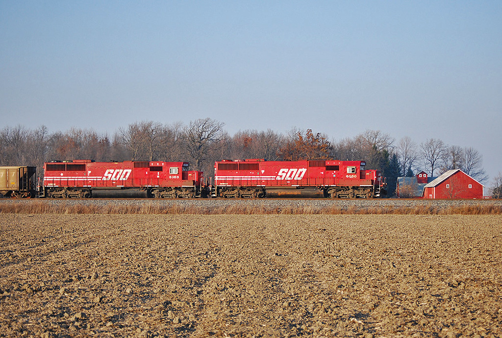
Soo Gone
Behind the Library
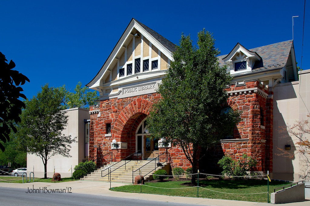
Public Library - Defiance
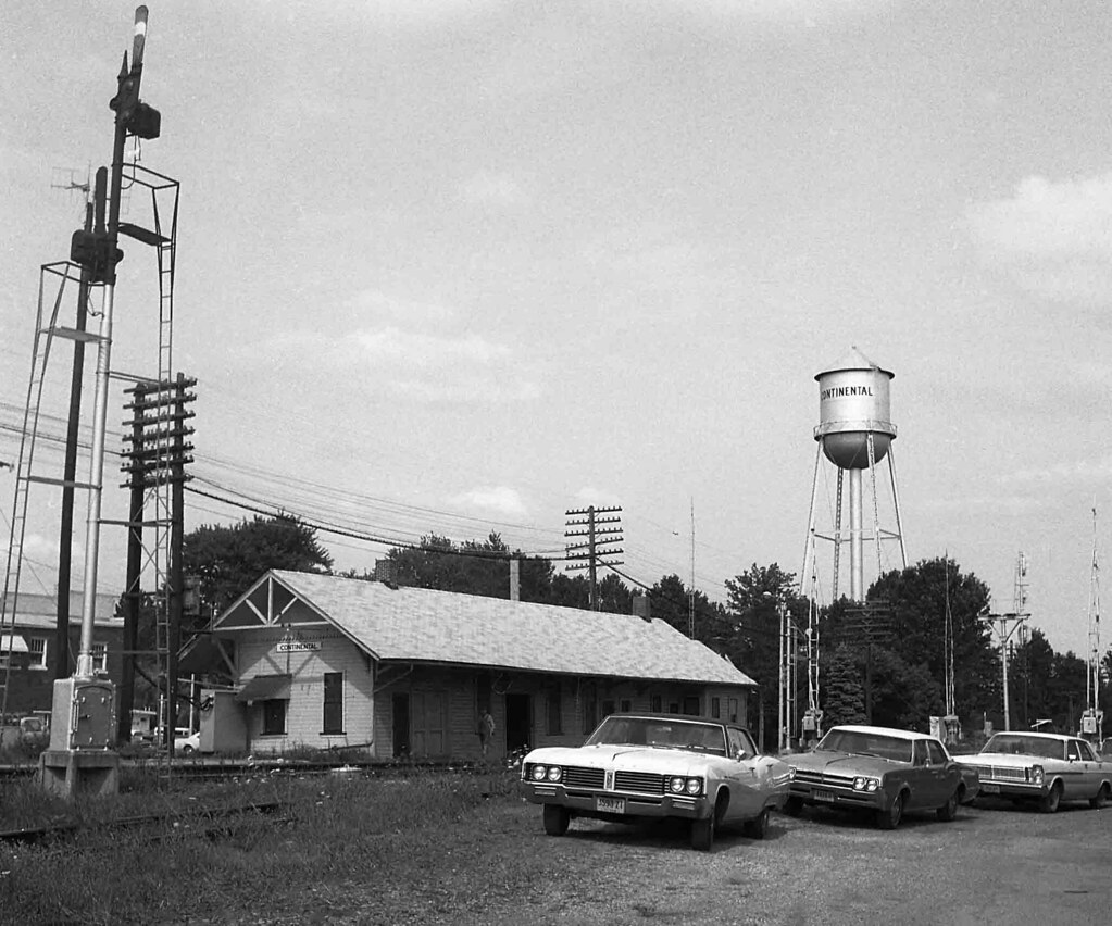
N&W Depot, Continental, Ohio
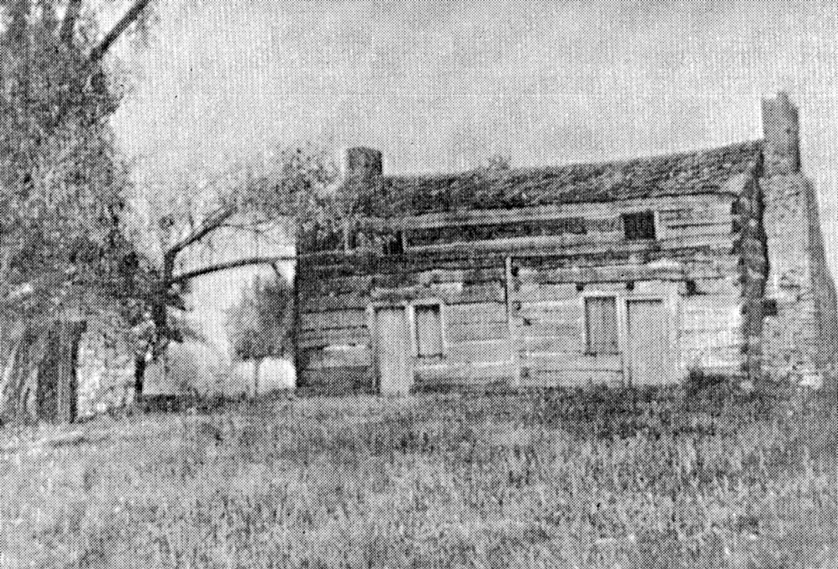
Shadrach Hudson Log House — Auglaize Township, Paulding County, Ohio

View from the laundry
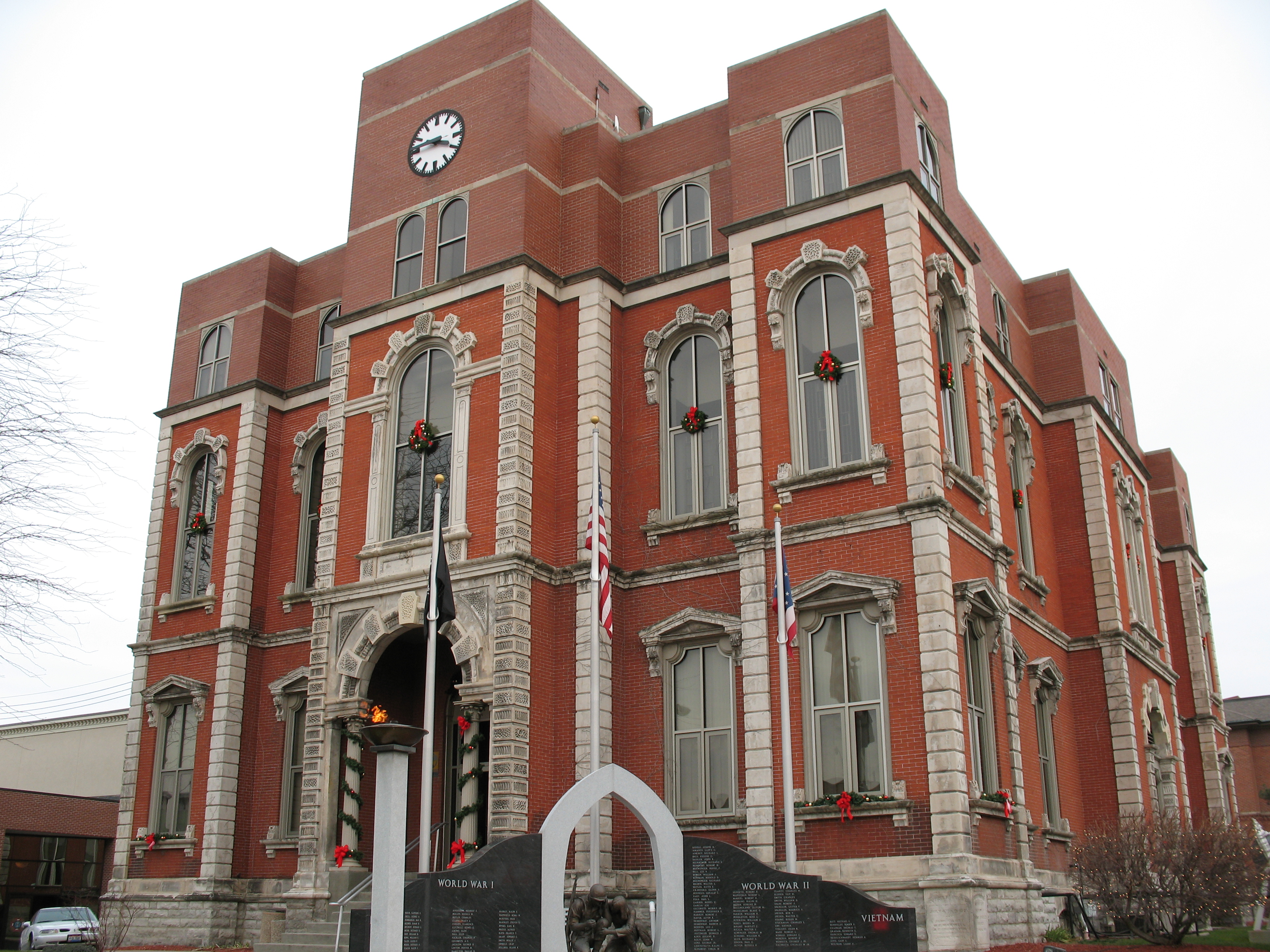
Defiance County Courthouse (Ohio)

Day 238 - Walking Rags

Rarely used "study carrel" monstrosity taken apart
05-03-2006 Defiance Ohio view

Coffee Shop Moved

Look...a view
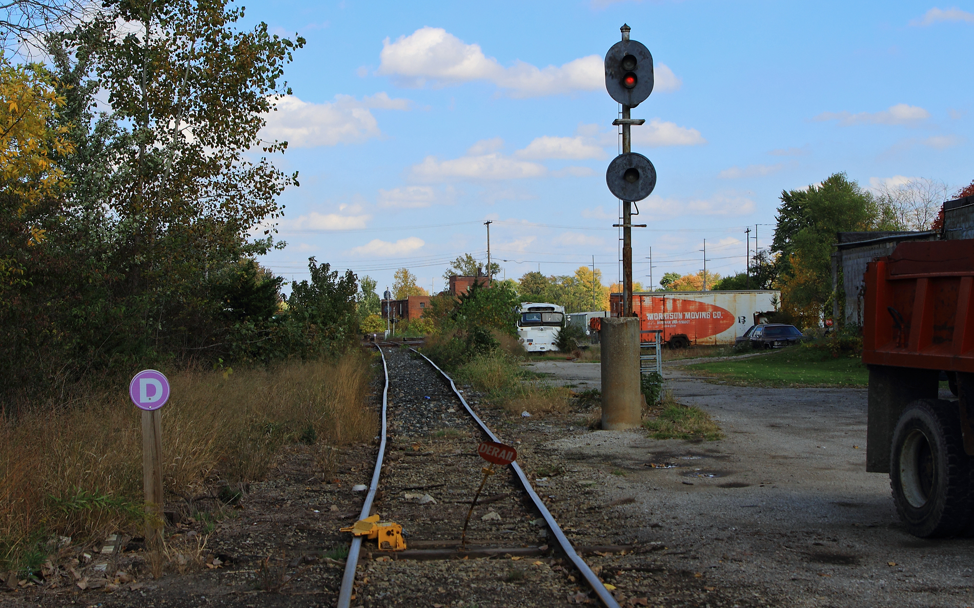
ND&W-CSX diamonds at Defiance

View from my front porch
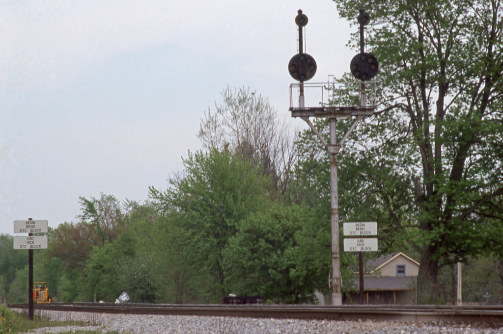
CSX_Sherwood-OH-EB-signals_EY1997-1

Excellent view

Q324 at Hire Cemetery

41° 17' 20.1" N 84° 21' 46.4" W0.0IMG_434613:54:04Apr 22, 2014
41° 16' 54.6" N 84° 23' 51.1" W0.0IMG_428013:09:22Apr 22, 2014
Map test

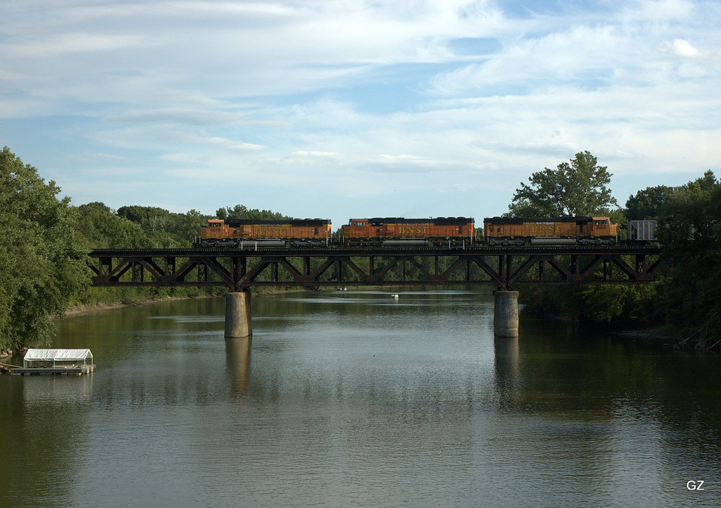
CSX Q368 - Standley, OH

41° 17' 11.1" N 84° 28' 16.8" W0.0IMG_422611:51:30Apr 22, 2014

41° 16' 54.7" N 84° 23' 51.0" W0.0IMG_428113:09:26Apr 22, 2014
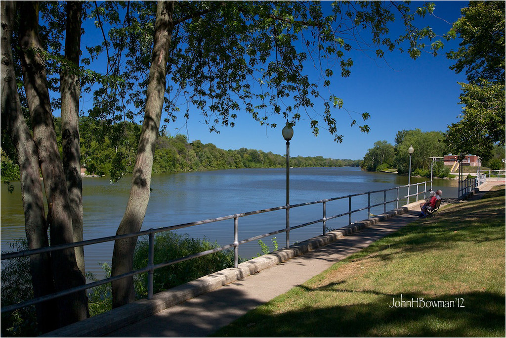
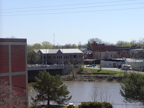
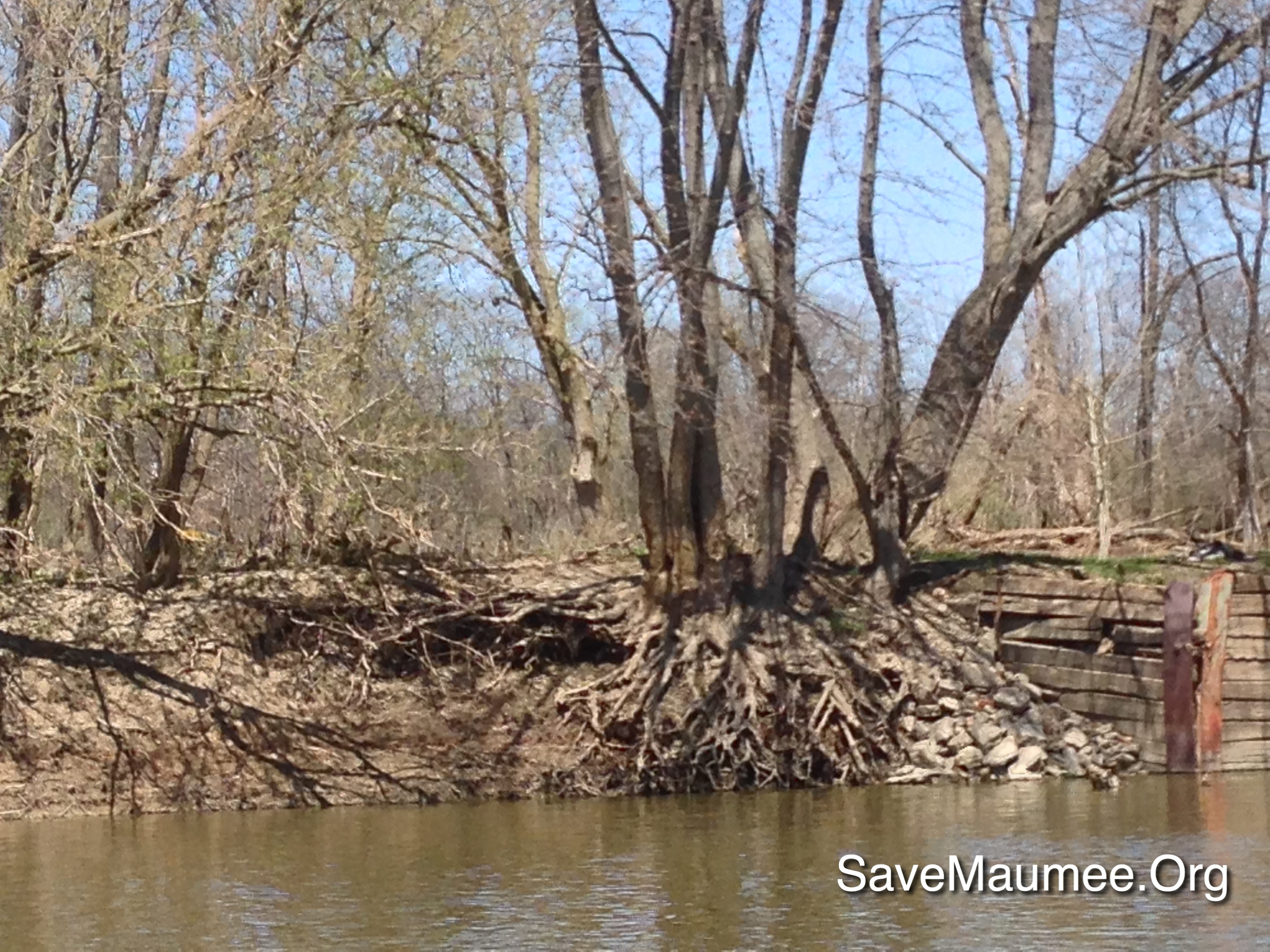
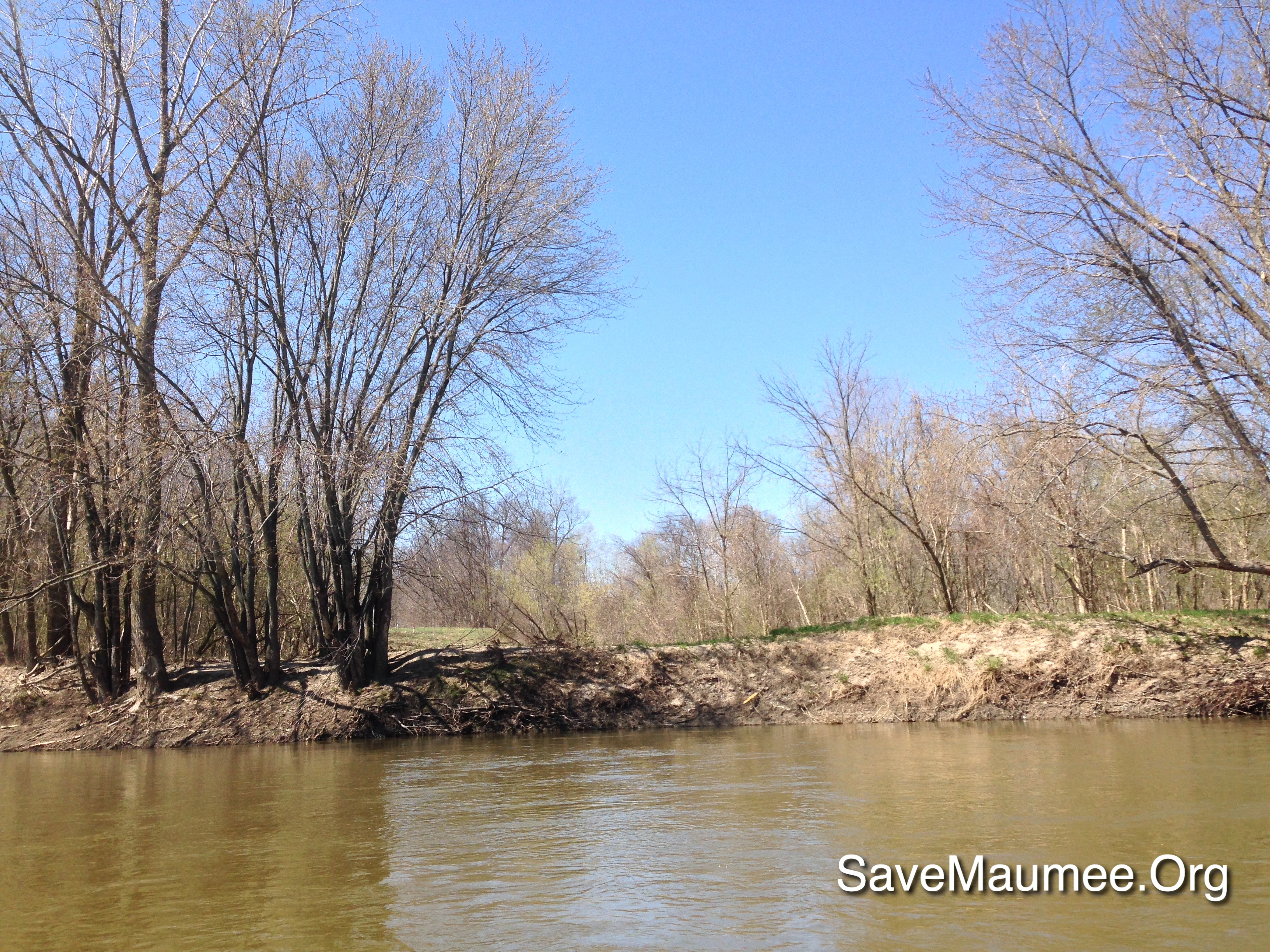
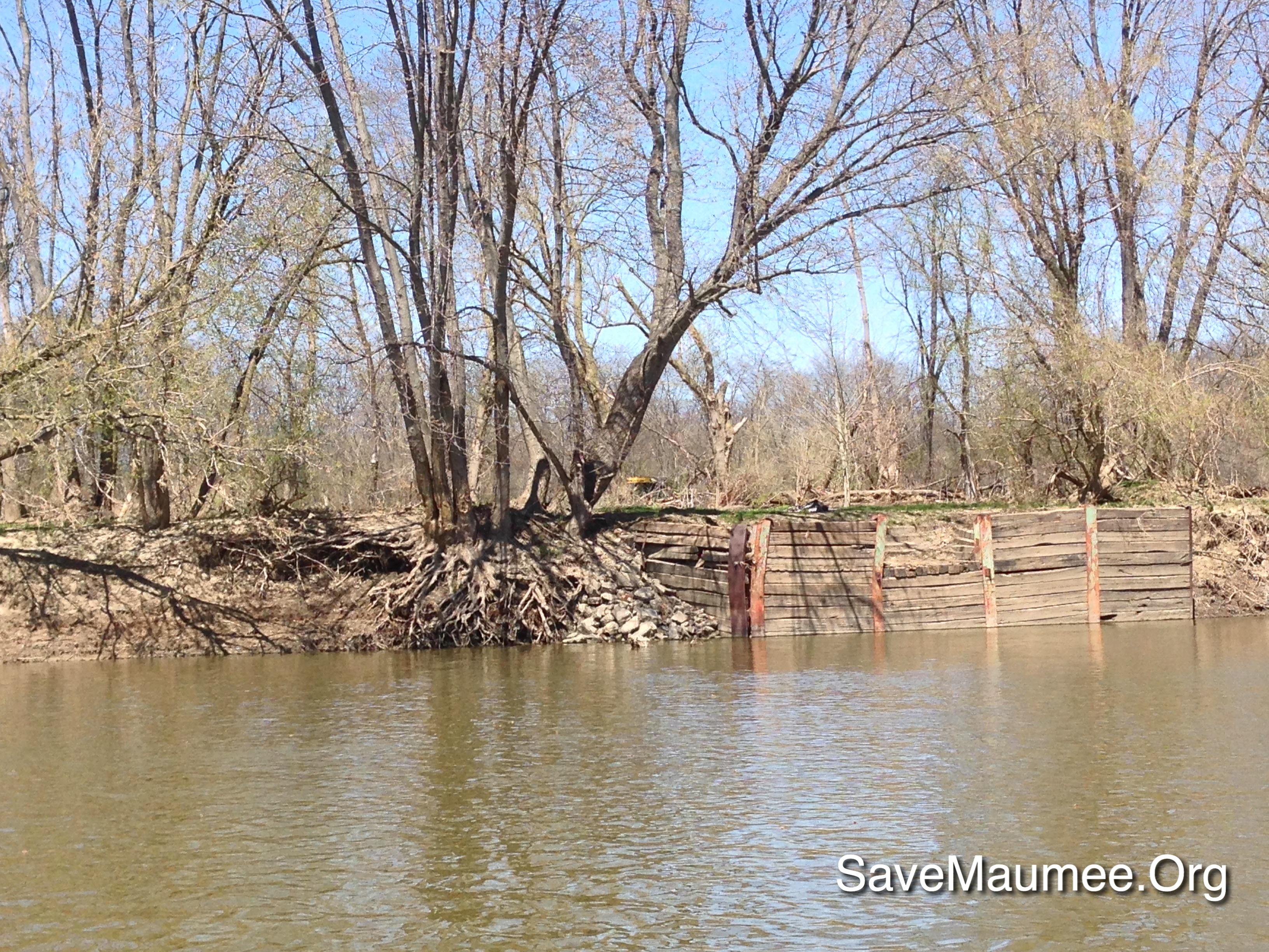
Auglaize River - Defiance
41° 16' 52.4" N 84° 27' 52.3" W0.0IMG_423312:00:44Apr 22, 2014
41° 16' 55.0" N 84° 23' 50.9" W0.0IMG_428213:09:31Apr 22, 2014

Harlow at the zoo
41° 16' 56.4" N 84° 27' 20.1" W0.0IMG_424312:10:46Apr 22, 2014

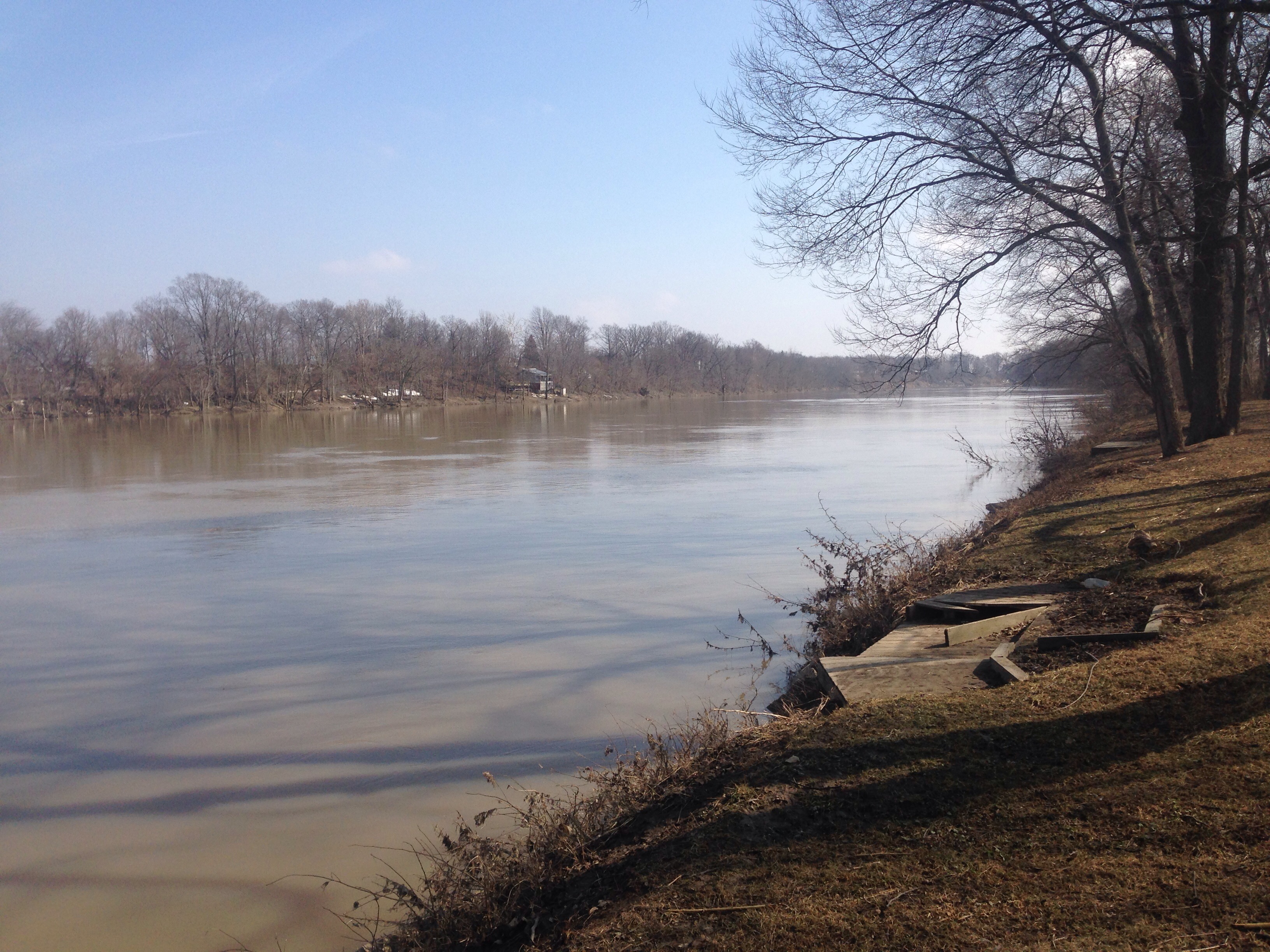
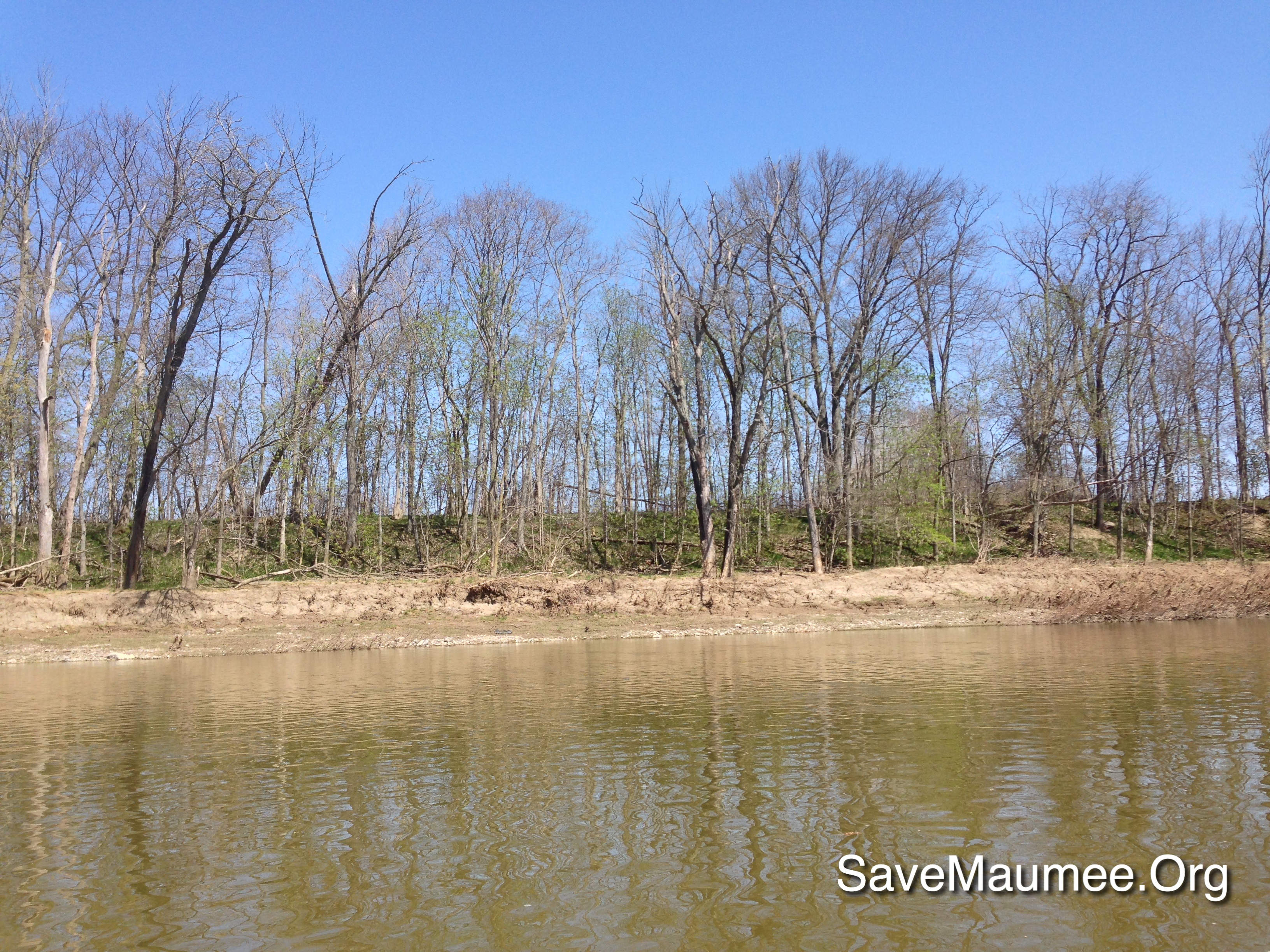
Maumee River
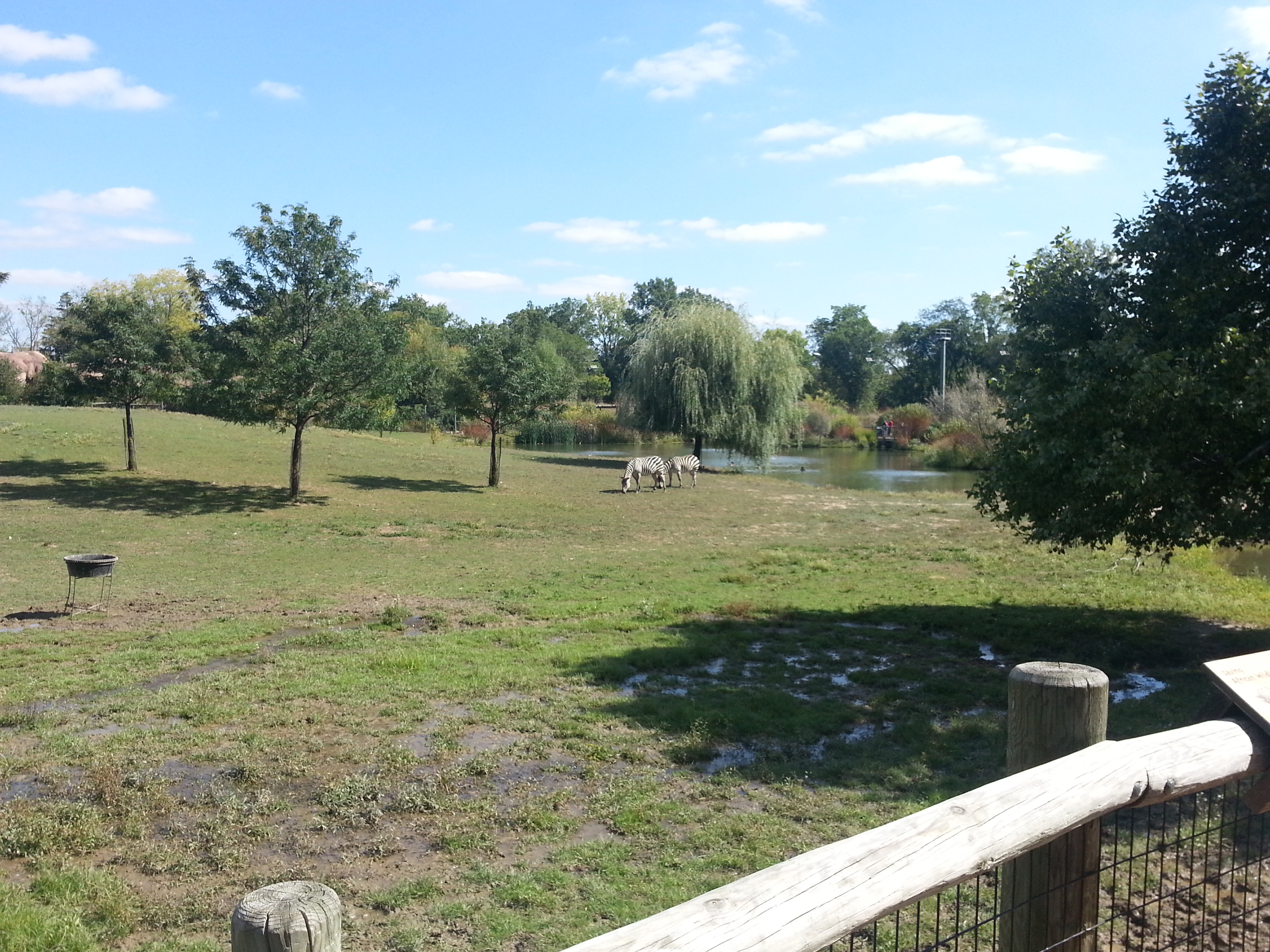
Harlow at the zoo
41° 16' 51.9" N 84° 27' 51.3" W0.0IMG_423512:00:51Apr 22, 2014

Harlow at the zoo

41° 16' 56.8" N 84° 27' 52.8" W0.0IMG_423211:59:08Apr 22, 2014
41° 17' 14.7" N 84° 22' 16.8" W0.0IMG_432413:44:47Apr 22, 2014
41° 16' 41.7" N 84° 27' 26.5" W0.0IMG_419910:54:58Apr 22, 2014

41° 17' 11.9" N 84° 28' 48.6" W0.0IMG_421711:43:52Apr 22, 2014
08-IMG_2716
Topographic Map of Auglaize Township, OH, USA
Find elevation by address:

Places in Auglaize Township, OH, USA:
Places near Auglaize Township, OH, USA:
Co Rd, Defiance, OH, USA
609 Village Ln
609 Village Ln
609 Village Ln
15918 Rd 143
Brown Township
OH-, Paulding, OH, USA
Emerald Township
20123 Switzer Rd
Wayne St, Melrose, OH, USA
21707 Roehrig Rd
Melrose
2nd St, Defiance, OH, USA
Noble Township
9134 Kleinhen Rd
Delaware Township
Rd, Cecil, OH, USA
Defiance County
Sherwood
Mud Creek Rd, Sherwood, OH, USA
Recent Searches:
- Elevation of Groblershoop, South Africa
- Elevation of Power Generation Enterprises | Industrial Diesel Generators, Oak Ave, Canyon Country, CA, USA
- Elevation of Chesaw Rd, Oroville, WA, USA
- Elevation of N, Mt Pleasant, UT, USA
- Elevation of 6 Rue Jules Ferry, Beausoleil, France
- Elevation of Sattva Horizon, 4JC6+G9P, Vinayak Nagar, Kattigenahalli, Bengaluru, Karnataka, India
- Elevation of Great Brook Sports, Gold Star Hwy, Groton, CT, USA
- Elevation of 10 Mountain Laurels Dr, Nashua, NH, USA
- Elevation of 16 Gilboa Ln, Nashua, NH, USA
- Elevation of Laurel Rd, Townsend, TN, USA