Elevation of OH-, Paulding, OH, USA
Location: United States > Ohio > Paulding County >
Longitude: -84.477042
Latitude: 41.150196
Elevation: 219m / 719feet
Barometric Pressure: 99KPa
Elevation Map:
Satellite Map:
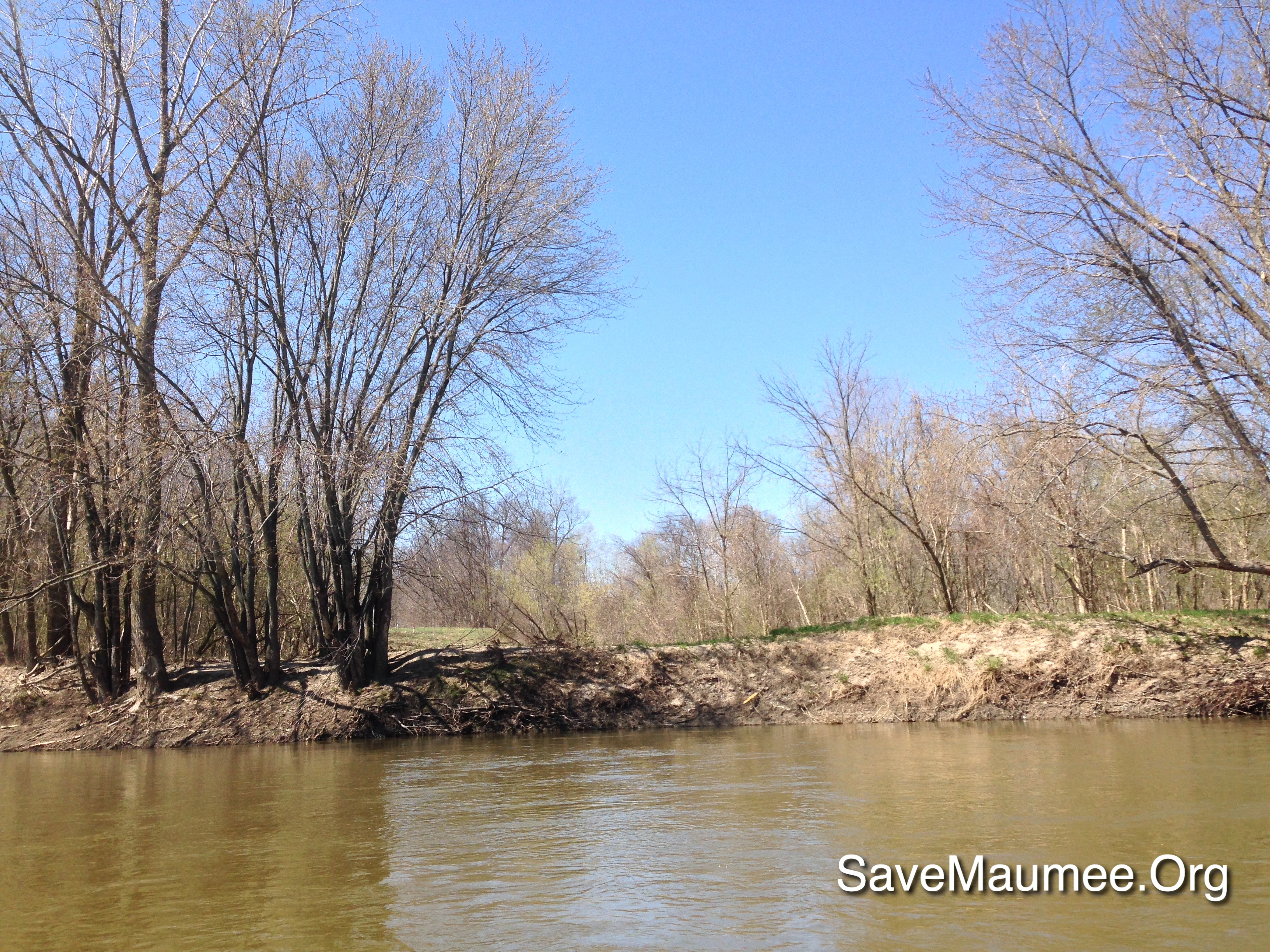
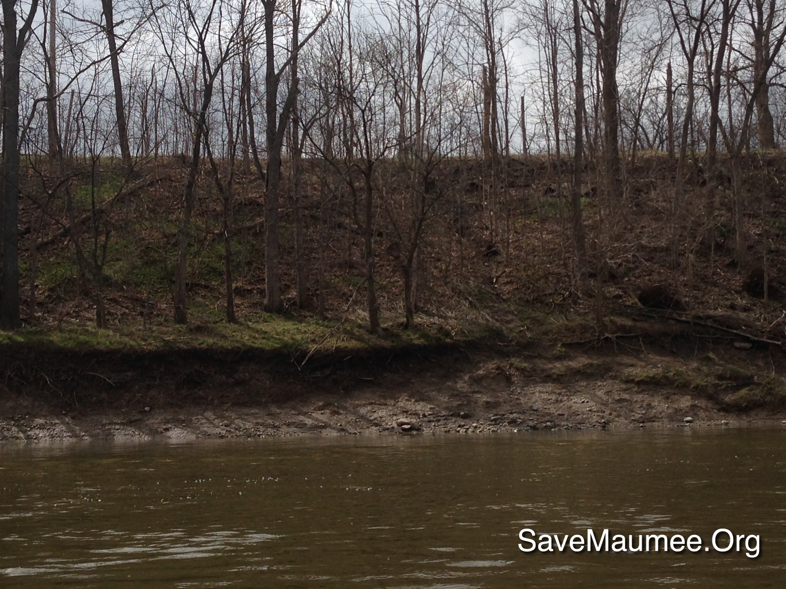
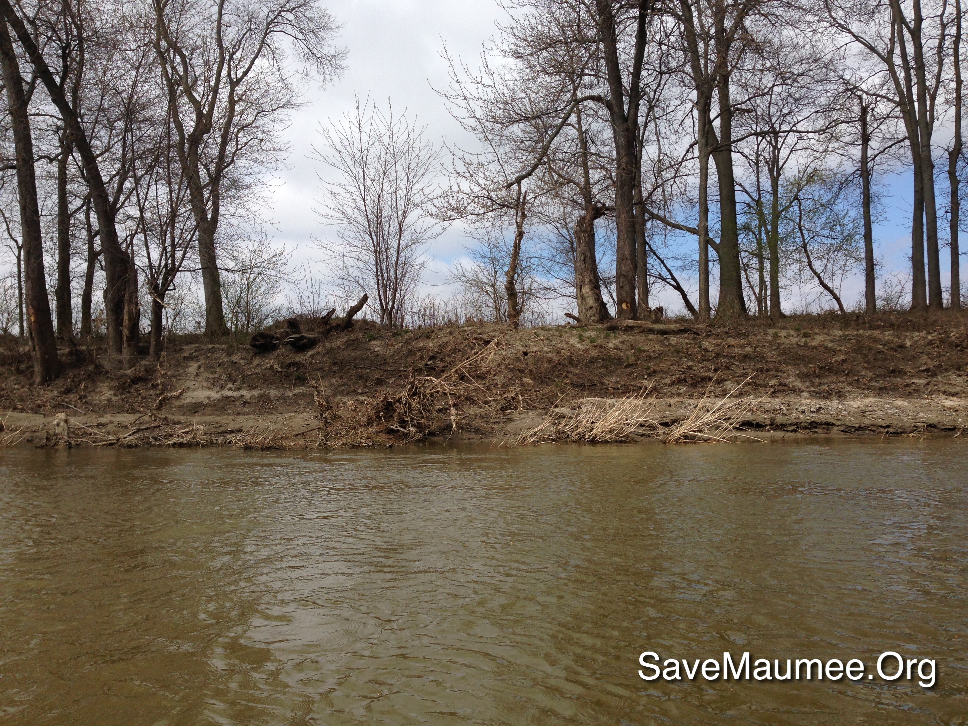
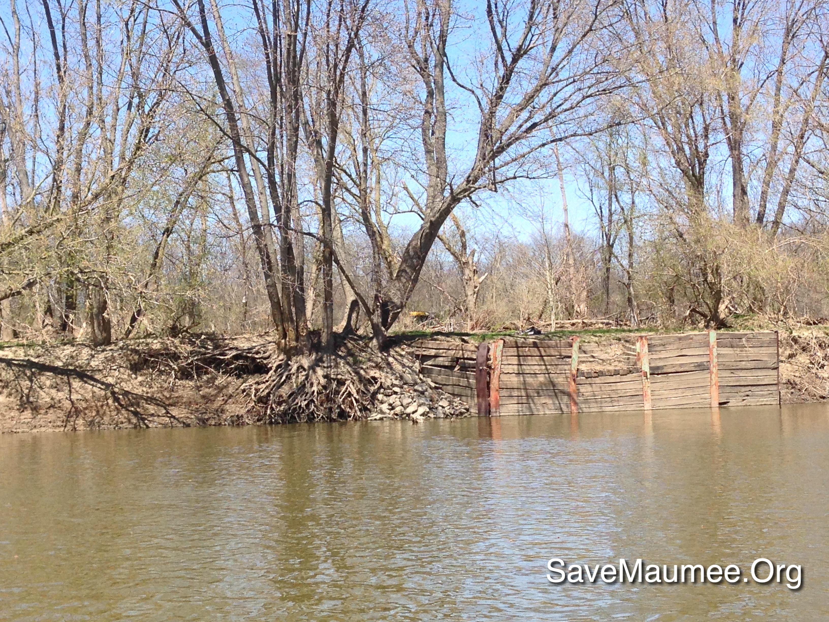
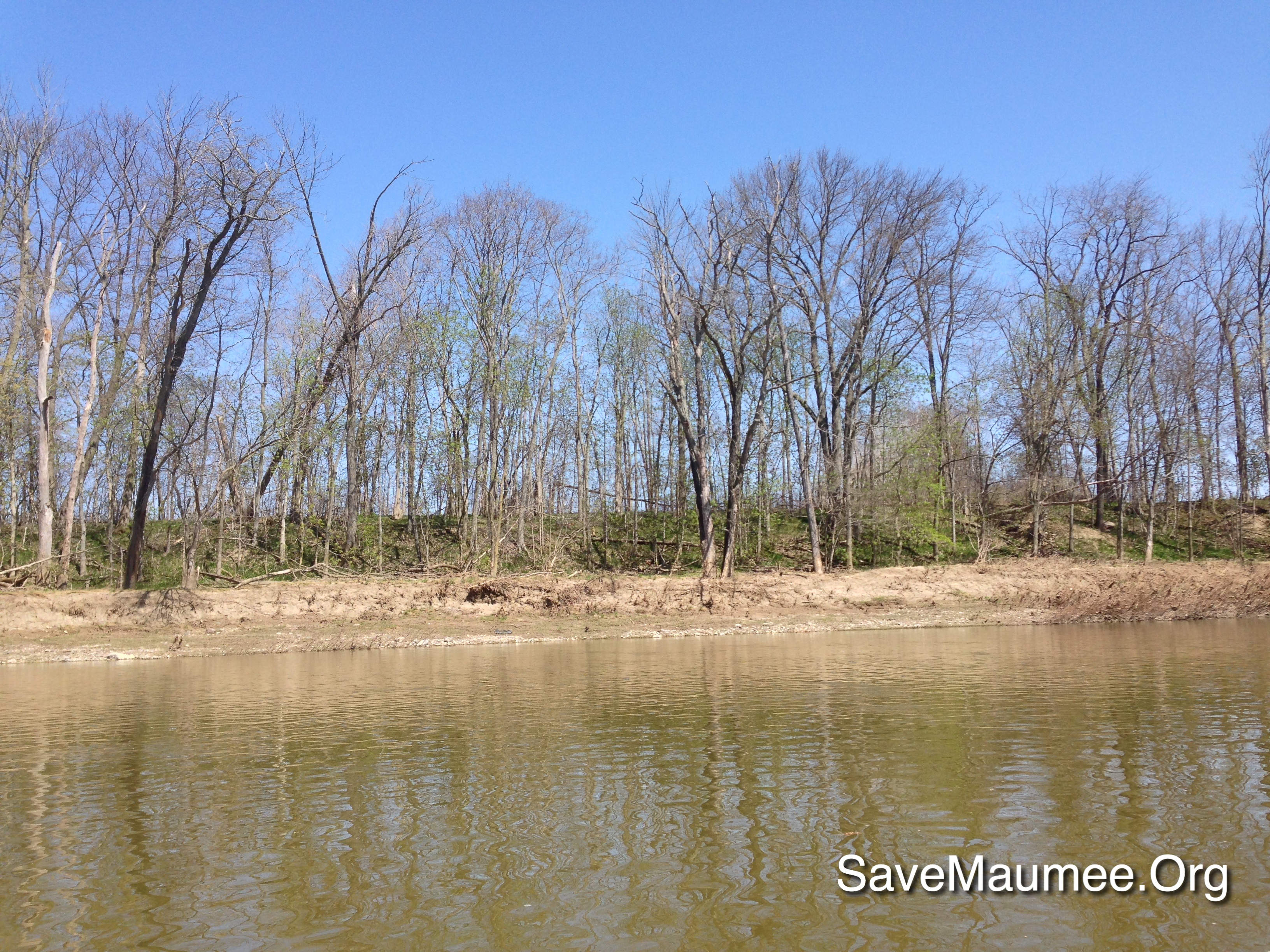
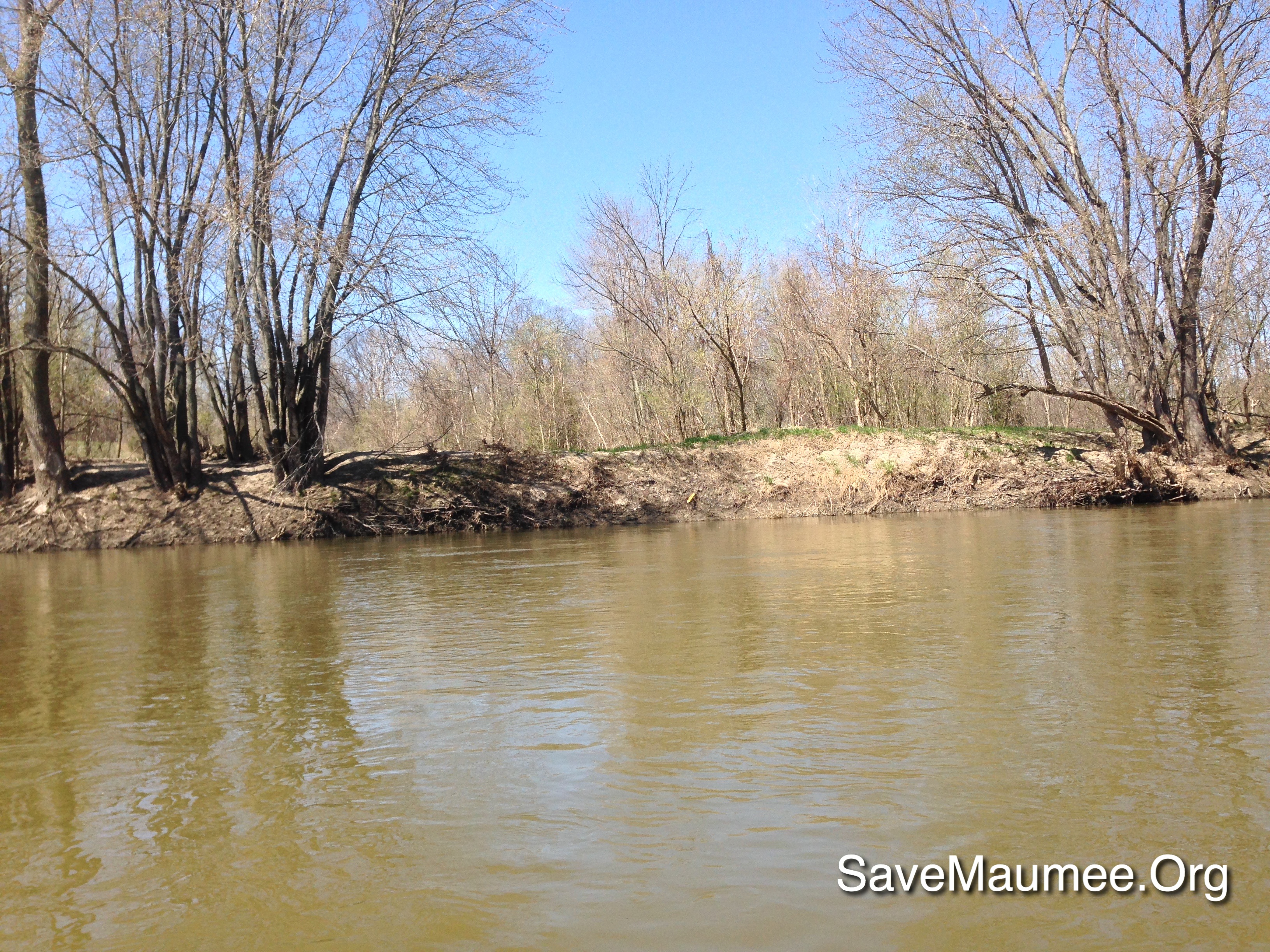
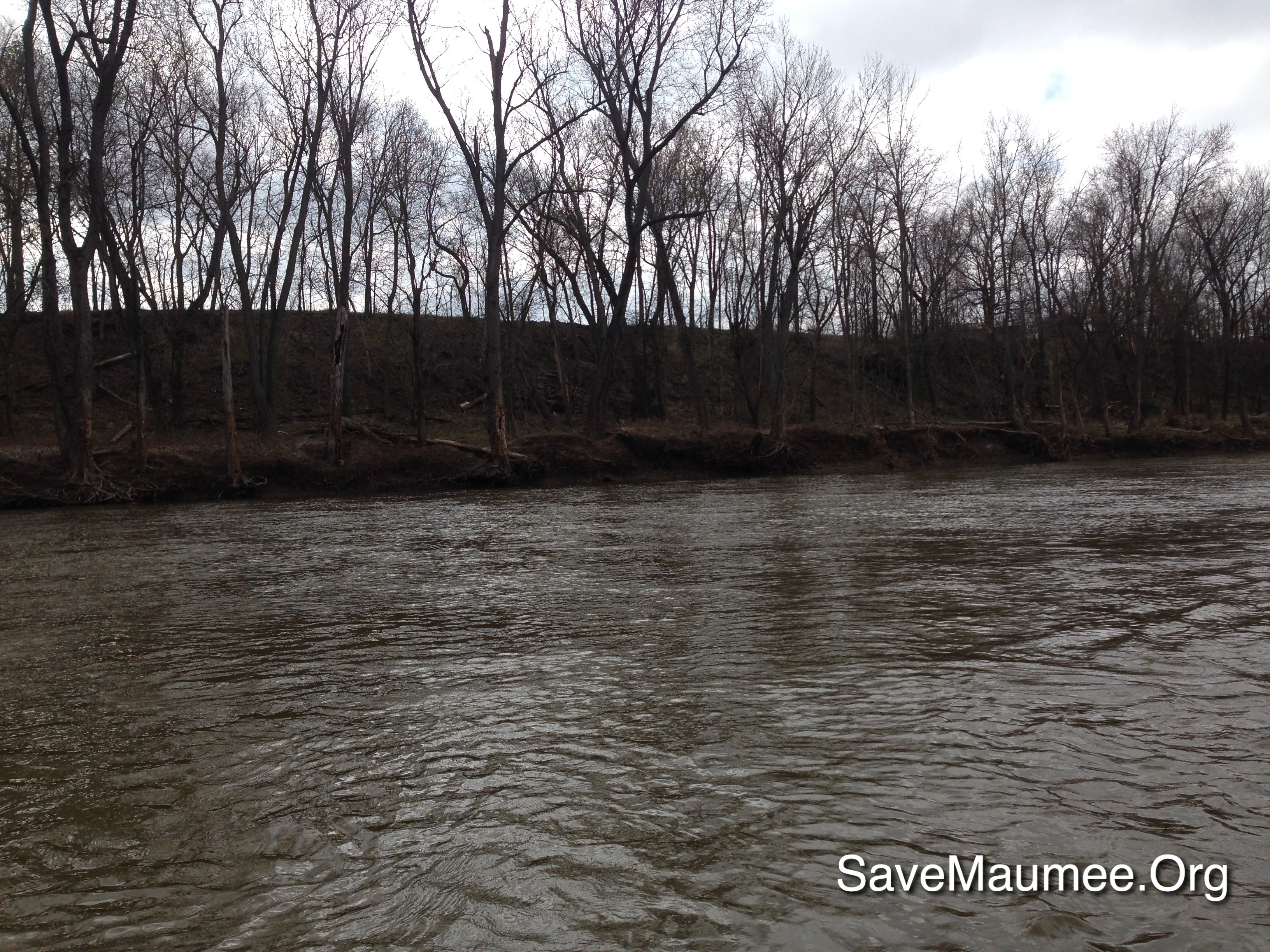
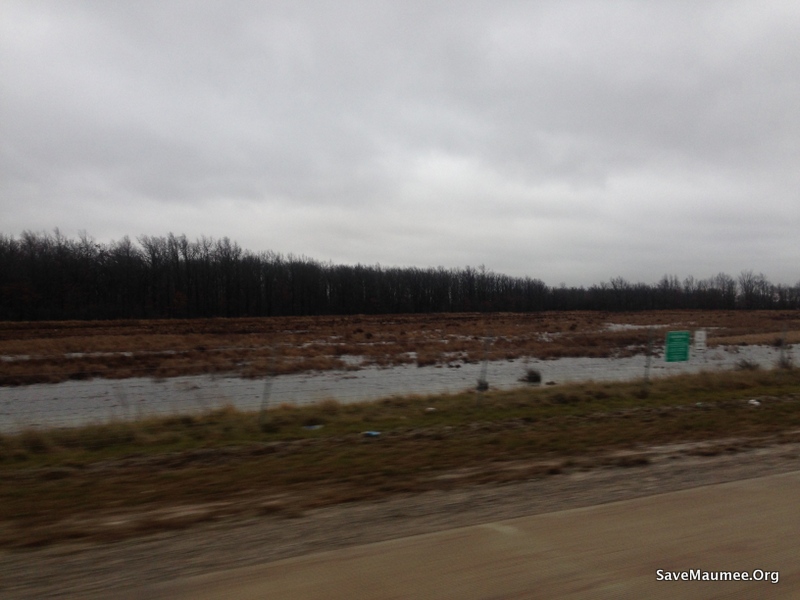
Related Photos:
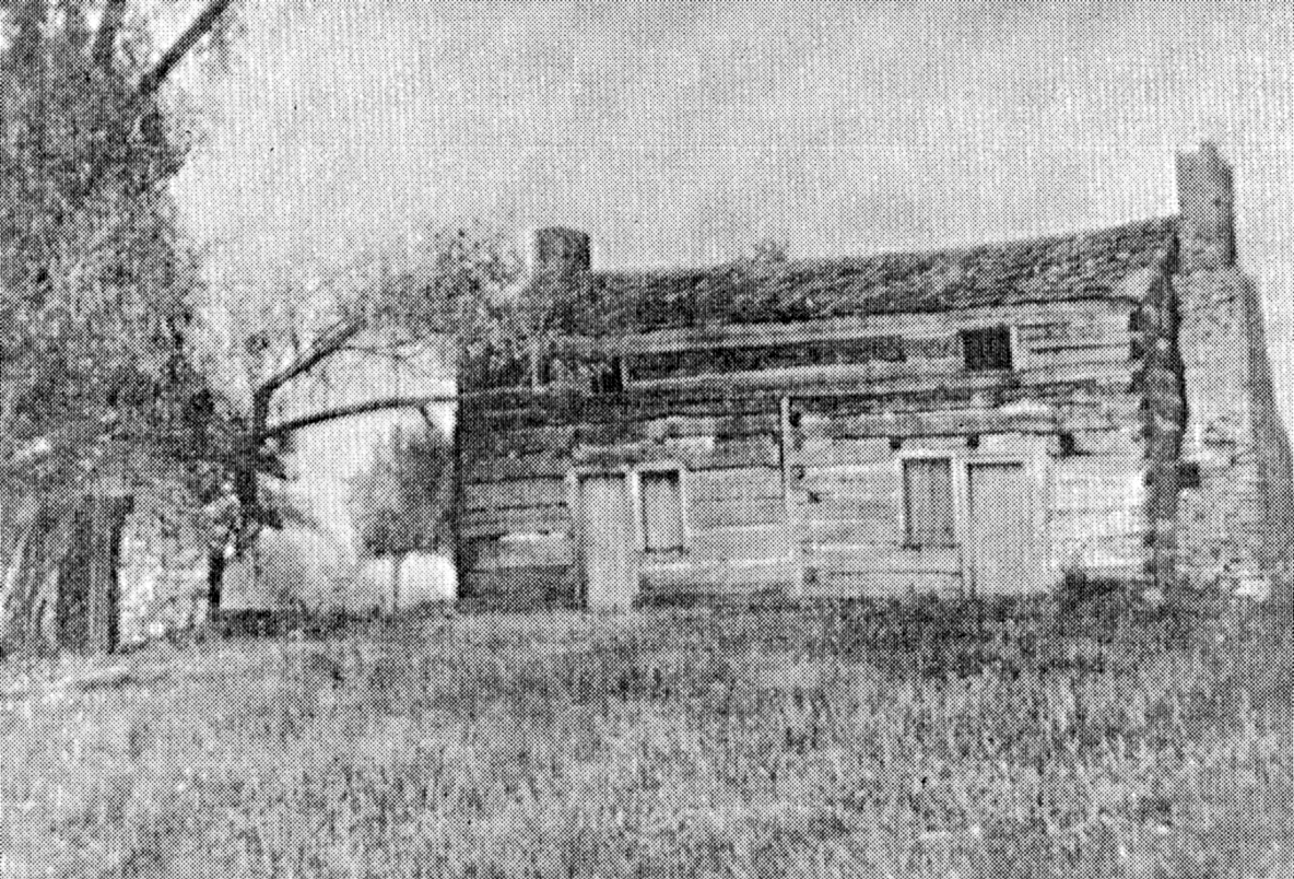
Shadrach Hudson Log House — Auglaize Township, Paulding County, Ohio
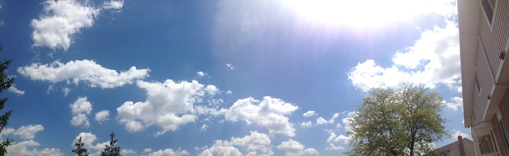
View from my front porch
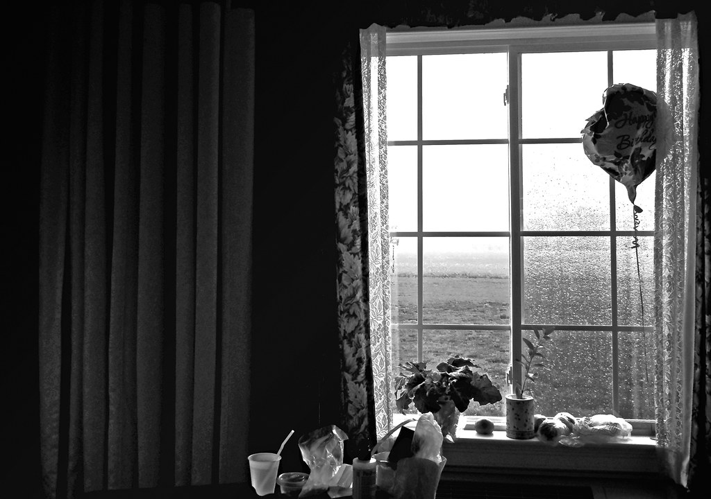
From Mom's Room

41° 16' 54.6" N 84° 23' 51.1" W0.0IMG_428013:09:22Apr 22, 2014

41° 17' 11.1" N 84° 28' 16.8" W0.0IMG_422611:51:30Apr 22, 2014

41° 16' 54.7" N 84° 23' 51.0" W0.0IMG_428113:09:26Apr 22, 2014
0003-HDR
41° 16' 52.4" N 84° 27' 52.3" W0.0IMG_423312:00:44Apr 22, 2014

41° 16' 23.4" N 84° 30' 34.8" W0.0IMG_419210:48:13Apr 22, 2014
41° 16' 23.8" N 84° 30' 16.4" W0.0IMG_419710:51:56Apr 22, 2014
41° 16' 42.2" N 84° 30' 5.7" W0.0IMG_420010:57:37Apr 22, 2014
41° 16' 55.0" N 84° 23' 50.9" W0.0IMG_428213:09:31Apr 22, 2014
41° 16' 56.4" N 84° 27' 20.1" W0.0IMG_424312:10:46Apr 22, 2014

41° 17' 38.2" N 84° 29' 37.0" W0.0IMG_421111:29:50Apr 22, 2014
41° 16' 51.9" N 84° 27' 51.3" W0.0IMG_423512:00:51Apr 22, 2014

41° 16' 56.8" N 84° 27' 52.8" W0.0IMG_423211:59:08Apr 22, 2014

41° 17' 22.5" N 84° 30' 14.8" W0.0IMG_420511:15:19Apr 22, 2014
41° 16' 41.7" N 84° 27' 26.5" W0.0IMG_419910:54:58Apr 22, 2014

41° 17' 11.9" N 84° 28' 48.6" W0.0IMG_421711:43:52Apr 22, 2014
08-IMG_2716

41° 16' 53.7" N 84° 30' 10.7" W0.0IMG_420111:01:03Apr 22, 2014
41° 16' 50.6" N 84° 24' 25.5" W0.0IMG_427413:00:59Apr 22, 2014

41° 17' 29.9" N 84° 29' 28.9" W0.0IMG_421411:32:32Apr 22, 2014

41° 17' 19.0" N 84° 30' 17.7" W0.0IMG_420411:13:07Apr 22, 2014
Topographic Map of OH-, Paulding, OH, USA
Find elevation by address:

Places near OH-, Paulding, OH, USA:
Co Rd, Defiance, OH, USA
15918 Rd 143
Emerald Township
Brown Township
Wayne St, Melrose, OH, USA
Melrose
Auglaize Township
Paulding
N Williams St, Paulding, OH, USA
Rd, Cecil, OH, USA
Rd 72, Haviland, OH, USA
609 Village Ln
609 Village Ln
609 Village Ln
Delaware Township
Cecil
20123 Switzer Rd
Sherwood
9134 Kleinhen Rd
21707 Roehrig Rd
Recent Searches:
- Elevation of Royal Ontario Museum, Queens Park, Toronto, ON M5S 2C6, Canada
- Elevation of Groblershoop, South Africa
- Elevation of Power Generation Enterprises | Industrial Diesel Generators, Oak Ave, Canyon Country, CA, USA
- Elevation of Chesaw Rd, Oroville, WA, USA
- Elevation of N, Mt Pleasant, UT, USA
- Elevation of 6 Rue Jules Ferry, Beausoleil, France
- Elevation of Sattva Horizon, 4JC6+G9P, Vinayak Nagar, Kattigenahalli, Bengaluru, Karnataka, India
- Elevation of Great Brook Sports, Gold Star Hwy, Groton, CT, USA
- Elevation of 10 Mountain Laurels Dr, Nashua, NH, USA
- Elevation of 16 Gilboa Ln, Nashua, NH, USA