Elevation of Kleinhen Rd, Defiance, OH, USA
Location: United States > Ohio > Defiance County > Delaware Township >
Longitude: -84.47131
Latitude: 41.3097179
Elevation: 216m / 709feet
Barometric Pressure: 99KPa
Elevation Map:
Satellite Map:
Related Photos:

Day 238 - Walking Rags
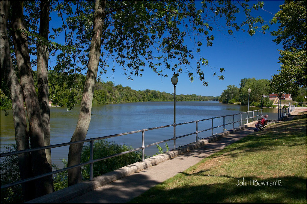
Behind the Library
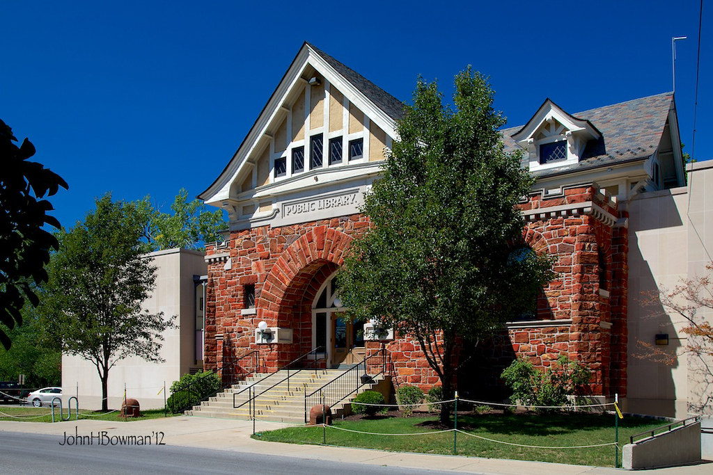
Public Library - Defiance
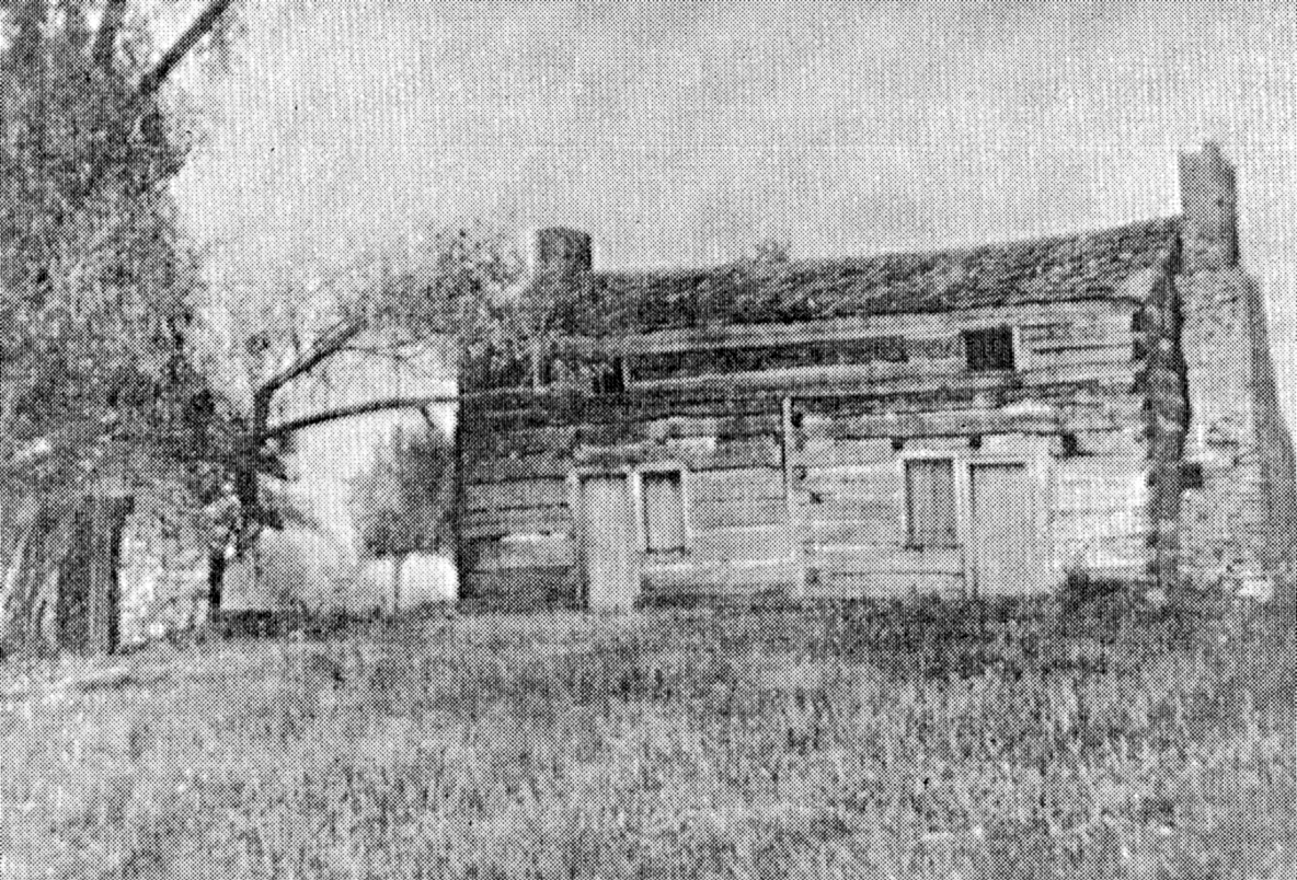
Shadrach Hudson Log House — Auglaize Township, Paulding County, Ohio

View from the laundry

Q324 at Hire Cemetery

Defiance County Courthouse (Ohio)

Rarely used "study carrel" monstrosity taken apart
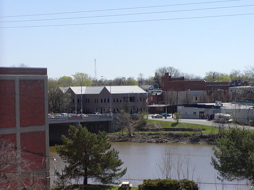
05-03-2006 Defiance Ohio view

Coffee Shop Moved

Look...a view
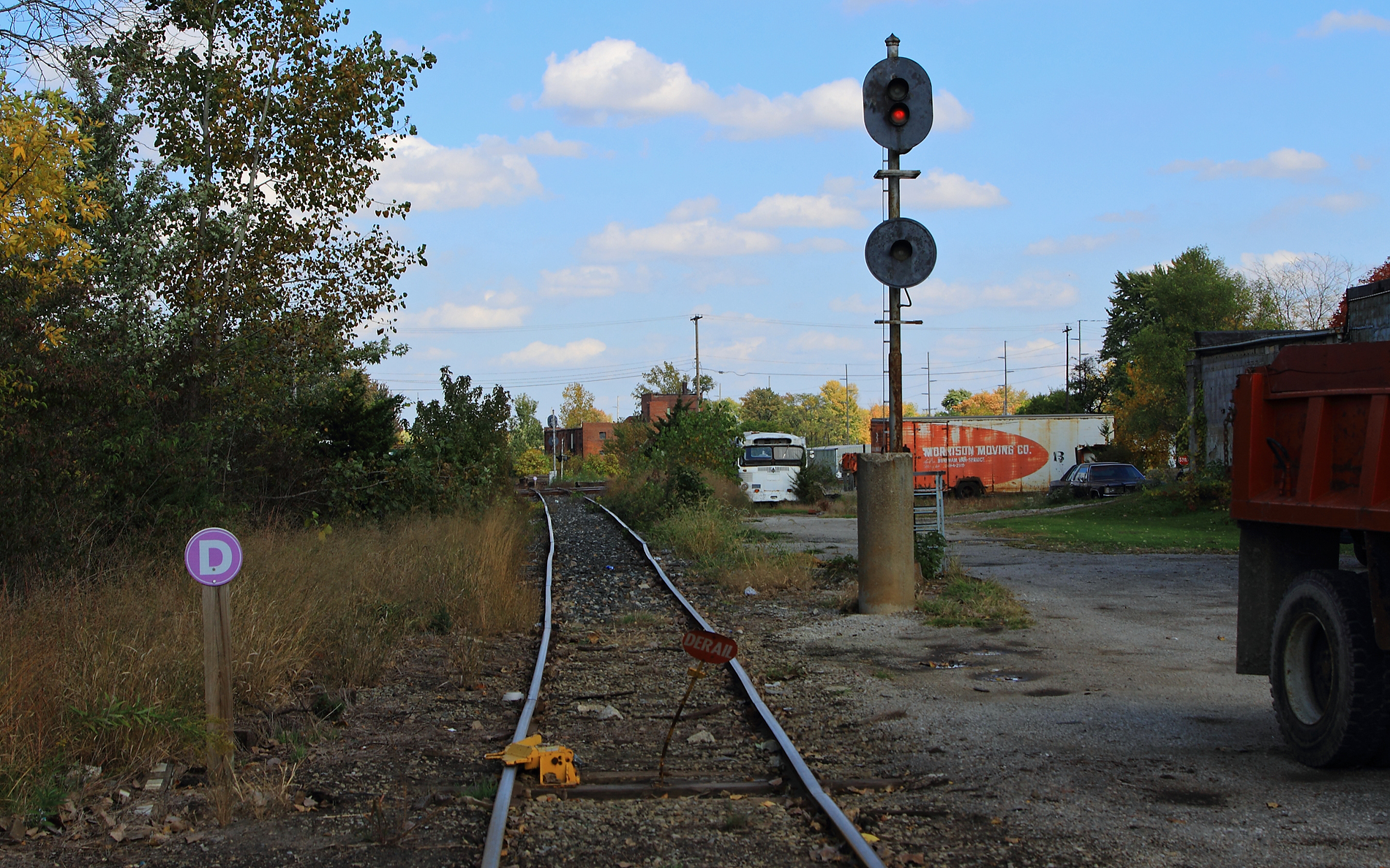
ND&W-CSX diamonds at Defiance

View from my front porch
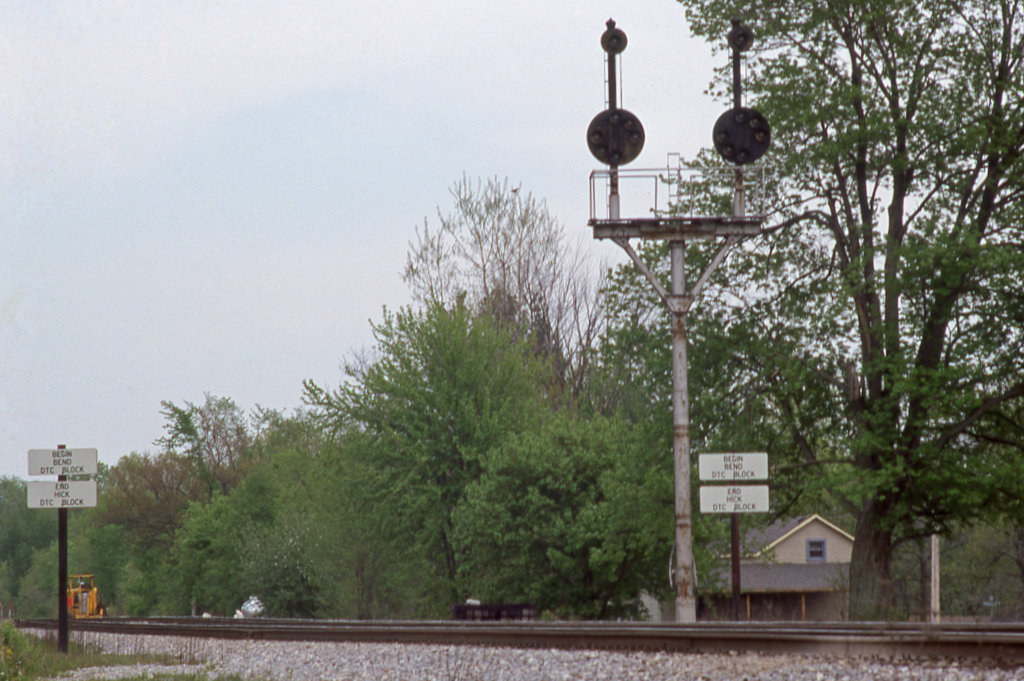
CSX_Sherwood-OH-EB-signals_EY1997-1

Excellent view

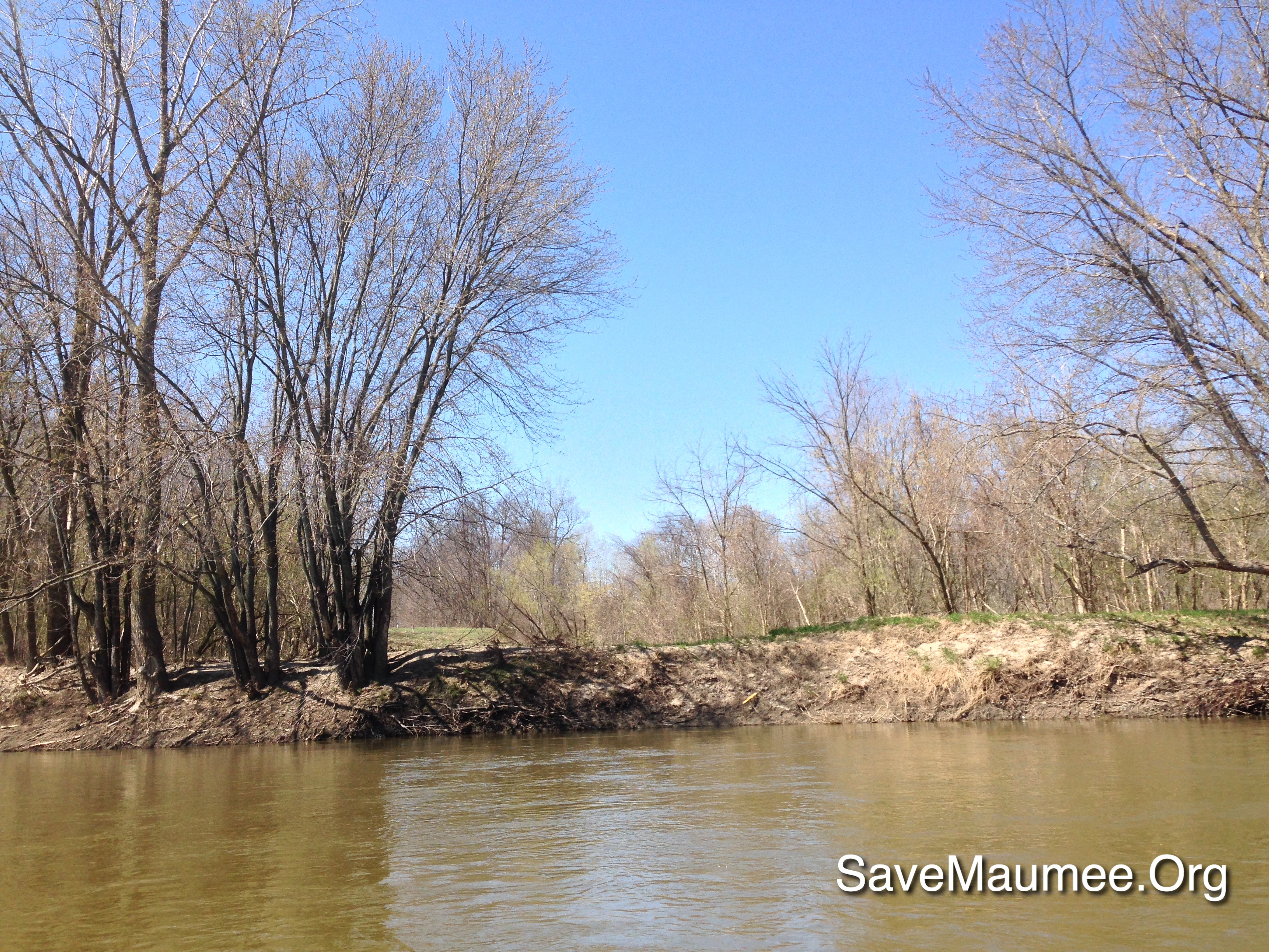
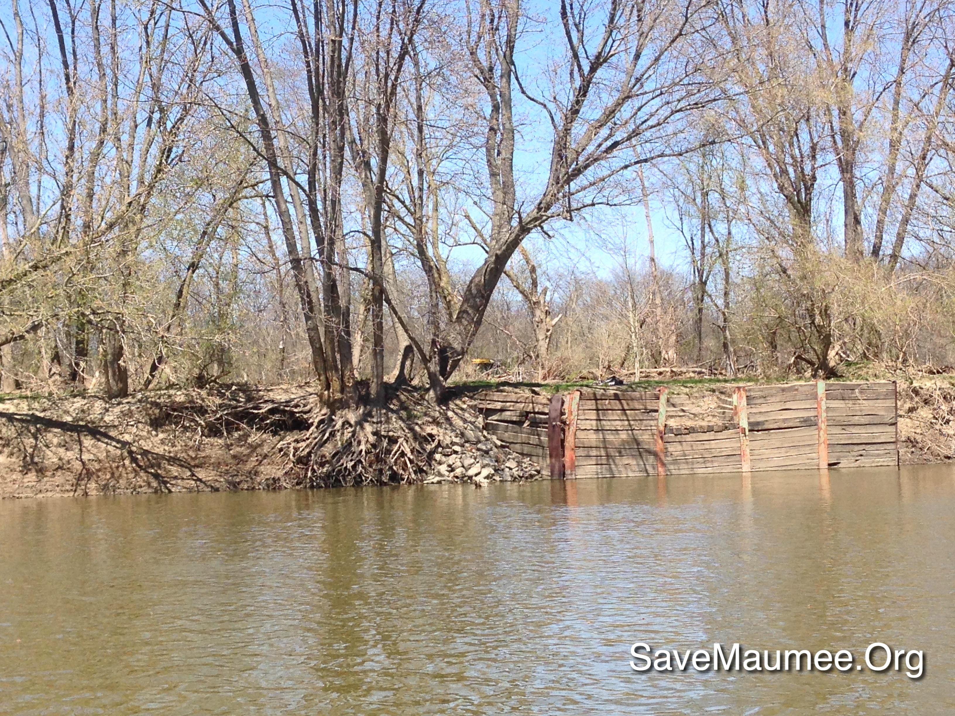
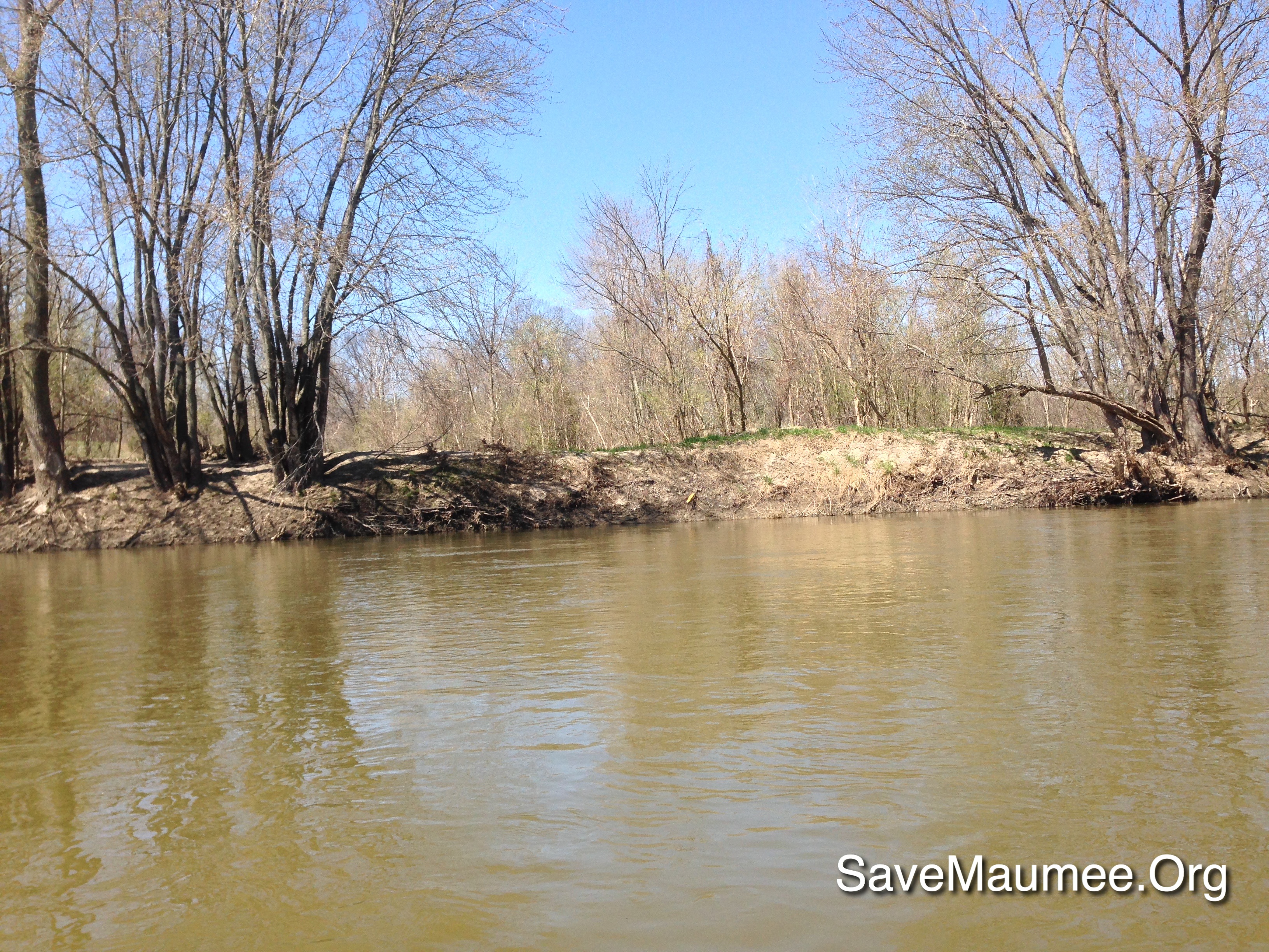
MAW on the Muddy Maumee

41° 17' 20.1" N 84° 21' 46.4" W0.0IMG_434613:54:04Apr 22, 2014

41° 16' 54.6" N 84° 23' 51.1" W0.0IMG_428013:09:22Apr 22, 2014
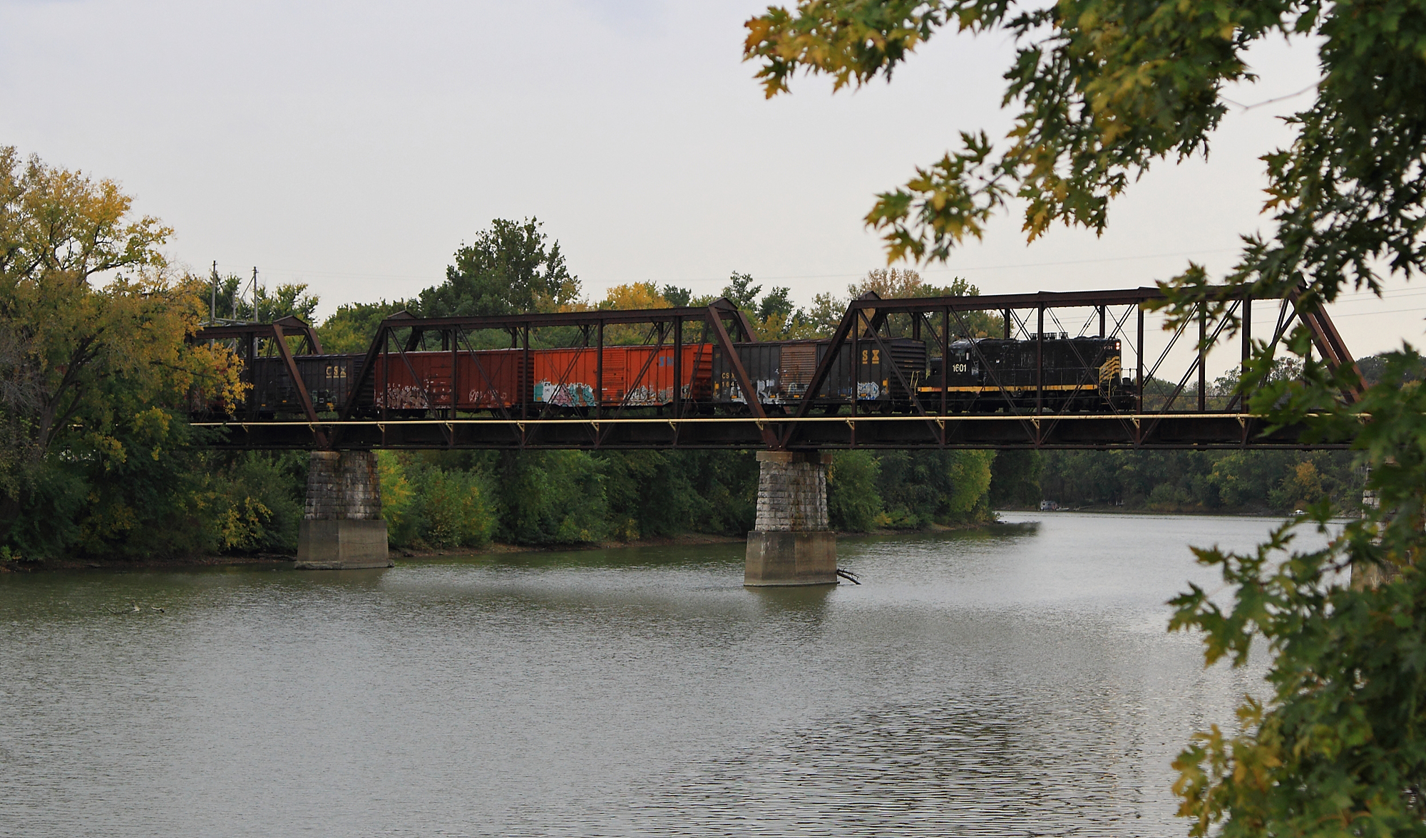
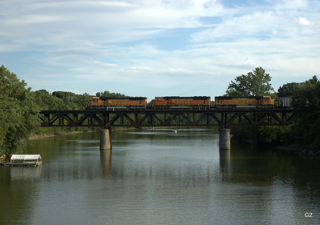
ND&W Maumee River Bridge
Map test
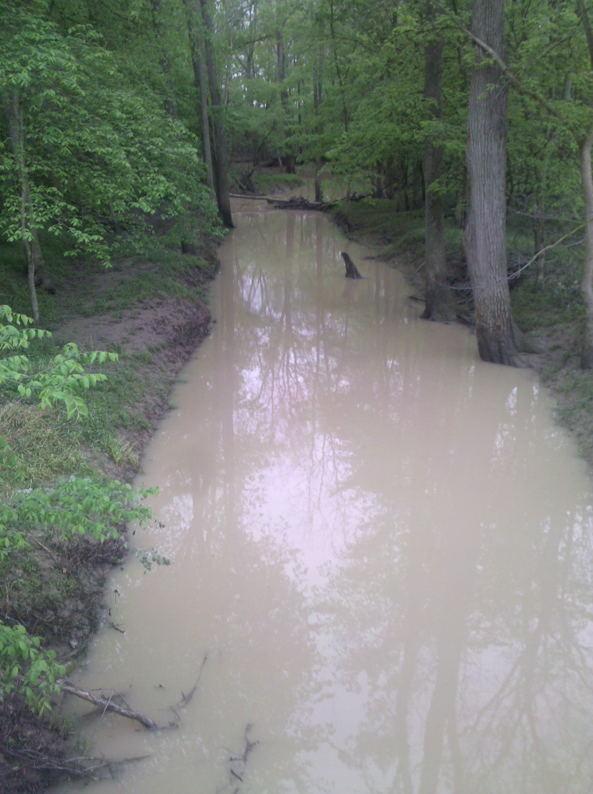
A muddy creek
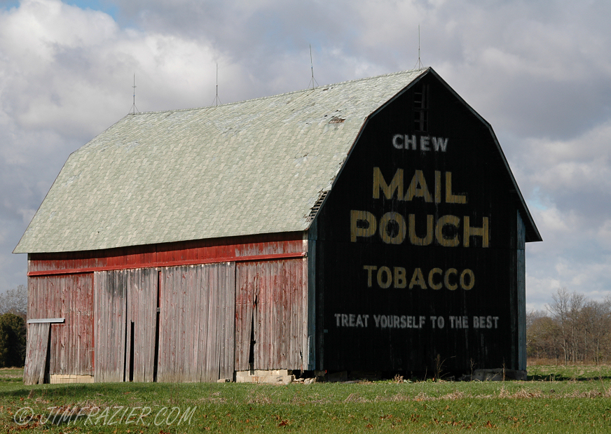
I've always wanted to photograph a Mail Pouch sign

41° 16' 54.7" N 84° 23' 51.0" W0.0IMG_428113:09:26Apr 22, 2014

41° 17' 11.1" N 84° 28' 16.8" W0.0IMG_422611:51:30Apr 22, 2014
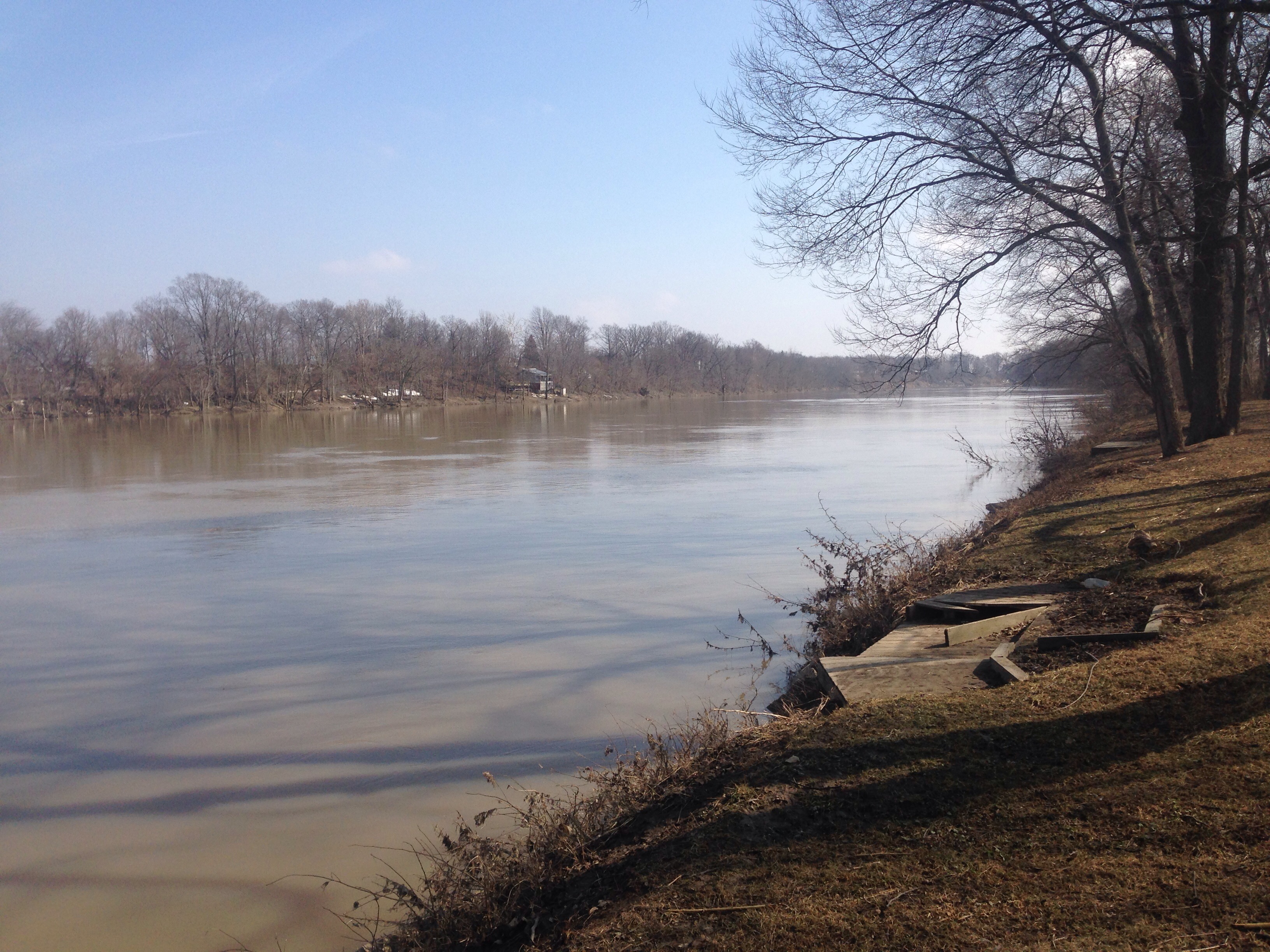
Auglaize River - Defiance

41° 16' 50.9" N 84° 22' 44.8" W0.0IMG_431513:33:36Apr 22, 2014
41° 16' 52.4" N 84° 27' 52.3" W0.0IMG_423312:00:44Apr 22, 2014

41° 16' 23.4" N 84° 30' 34.8" W0.0IMG_419210:48:13Apr 22, 2014
41° 16' 55.0" N 84° 23' 50.9" W0.0IMG_428213:09:31Apr 22, 2014

Harlow at the zoo
41° 16' 42.2" N 84° 30' 5.7" W0.0IMG_420010:57:37Apr 22, 2014
41° 16' 23.8" N 84° 30' 16.4" W0.0IMG_419710:51:56Apr 22, 2014
41° 16' 56.4" N 84° 27' 20.1" W0.0IMG_424312:10:46Apr 22, 2014

41° 17' 38.2" N 84° 29' 37.0" W0.0IMG_421111:29:50Apr 22, 2014
41° 16' 51.9" N 84° 27' 51.3" W0.0IMG_423512:00:51Apr 22, 2014

Harlow at the zoo
Topographic Map of Kleinhen Rd, Defiance, OH, USA
Find elevation by address:

Places near Kleinhen Rd, Defiance, OH, USA:
Delaware Township
Defiance County
20123 Switzer Rd
Mud Creek Rd, Sherwood, OH, USA
Noble Township
21707 Roehrig Rd
2nd St, Defiance, OH, USA
Sherwood
E Main St, Ney, OH, USA
609 Village Ln
609 Village Ln
609 Village Ln
15918 Rd 143
Emerald Township
Rd, Cecil, OH, USA
Co Rd, Defiance, OH, USA
Auglaize Township
15 Rd, Bryan, OH, USA
Cecil
OH-, Paulding, OH, USA
Recent Searches:
- Elevation of 24 Oakland Rd #, Scotland, ON N0E 1R0, Canada
- Elevation of Deep Gap Farm Rd E, Mill Spring, NC, USA
- Elevation of Dog Leg Dr, Minden, NV, USA
- Elevation of Dog Leg Dr, Minden, NV, USA
- Elevation of Kambingan Sa Pansol Atbp., Purok 7 Pansol, Candaba, Pampanga, Philippines
- Elevation of Pinewood Dr, New Bern, NC, USA
- Elevation of Mountain View, CA, USA
- Elevation of Foligno, Province of Perugia, Italy
- Elevation of Blauwestad, Netherlands
- Elevation of Bella Terra Blvd, Estero, FL, USA