Elevation of Payne, OH, USA
Location: United States > Ohio > Paulding County > Benton Township >
Longitude: -84.727181
Latitude: 41.0775492
Elevation: 228m / 748feet
Barometric Pressure: 99KPa
Elevation Map:
Satellite Map:
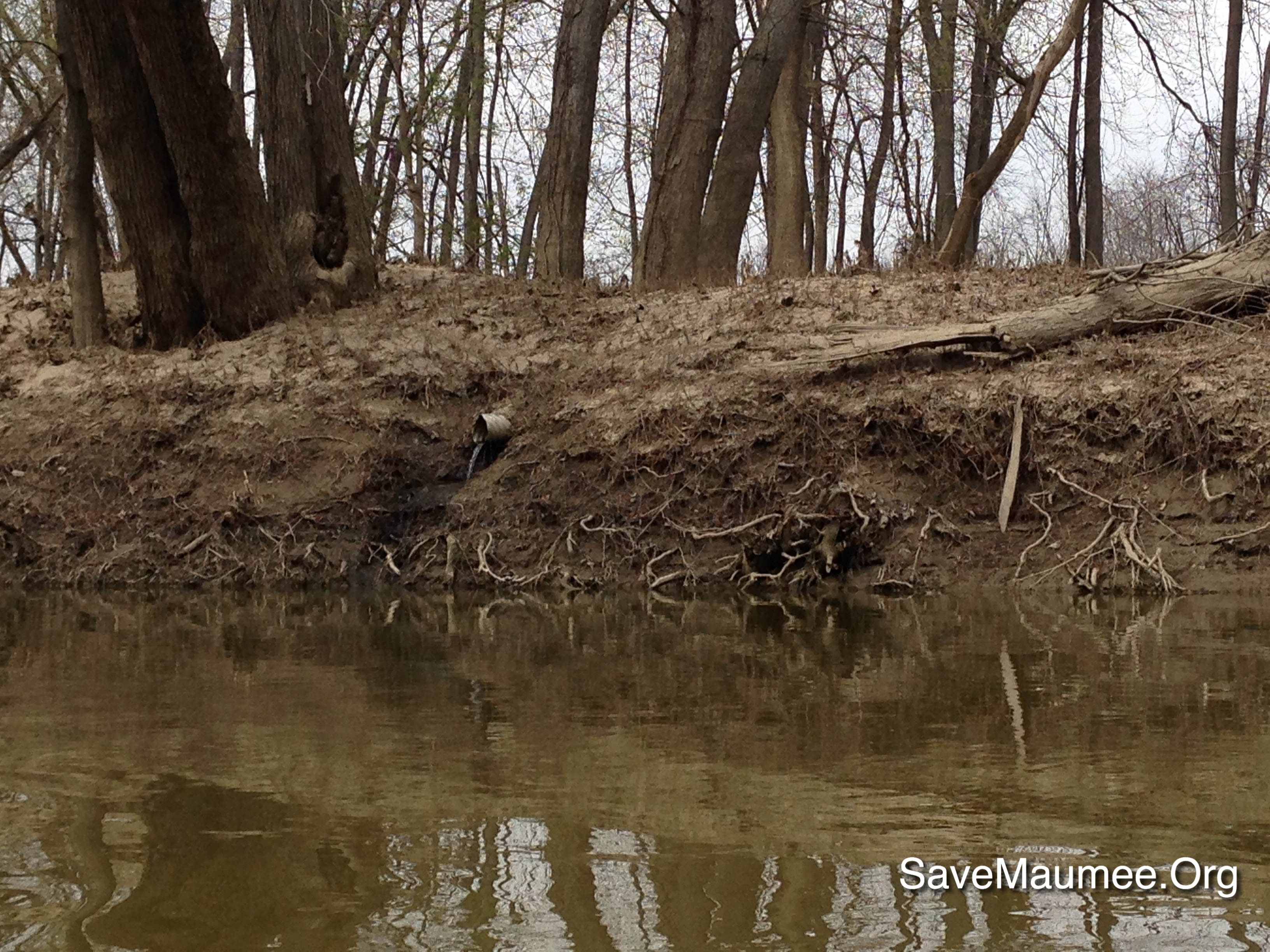
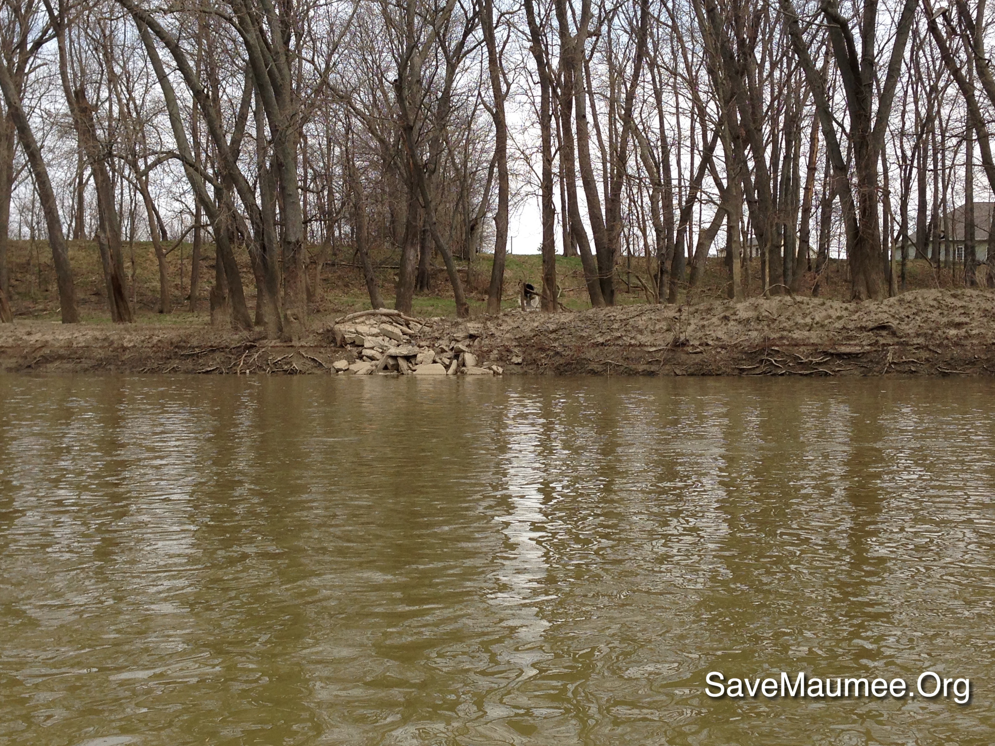
Related Photos:
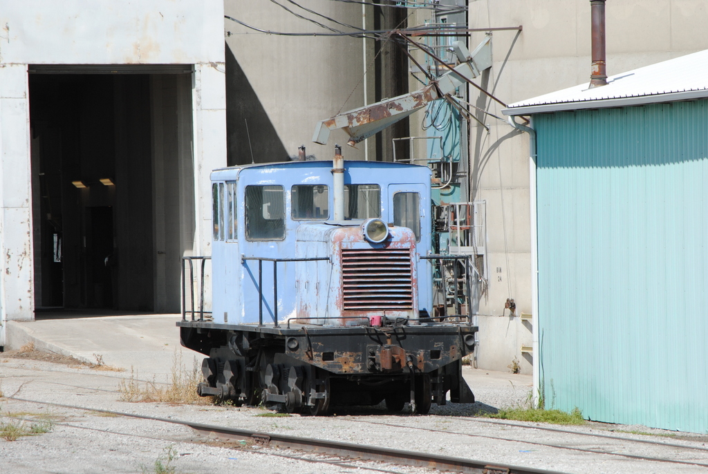
MISC_Edgerton-IN_switcher_081712-2
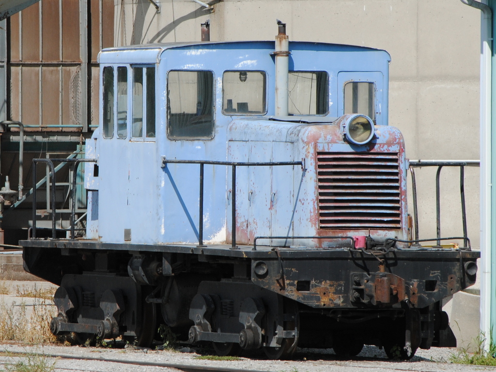
MISC_Edgerton-IN_switcher_081712-1
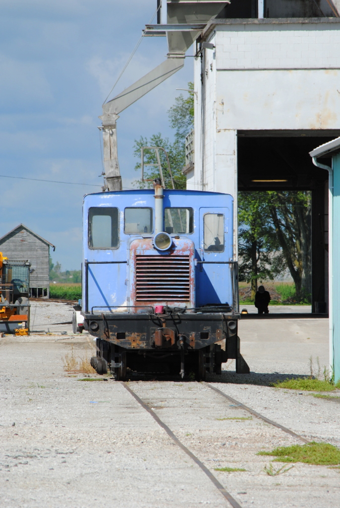
MISC_Edgerton-IN_switcher_081712-3
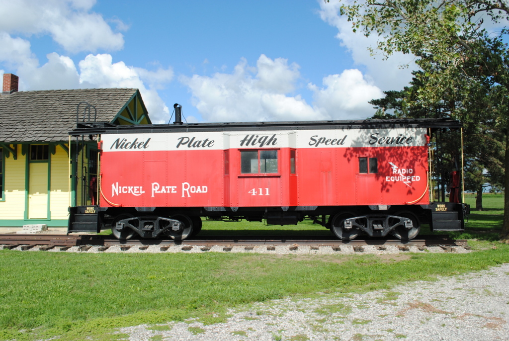
Preserved_Payne-OH_NKP411_081712-1

Preserved_Payne-OH_Depot_081712-1
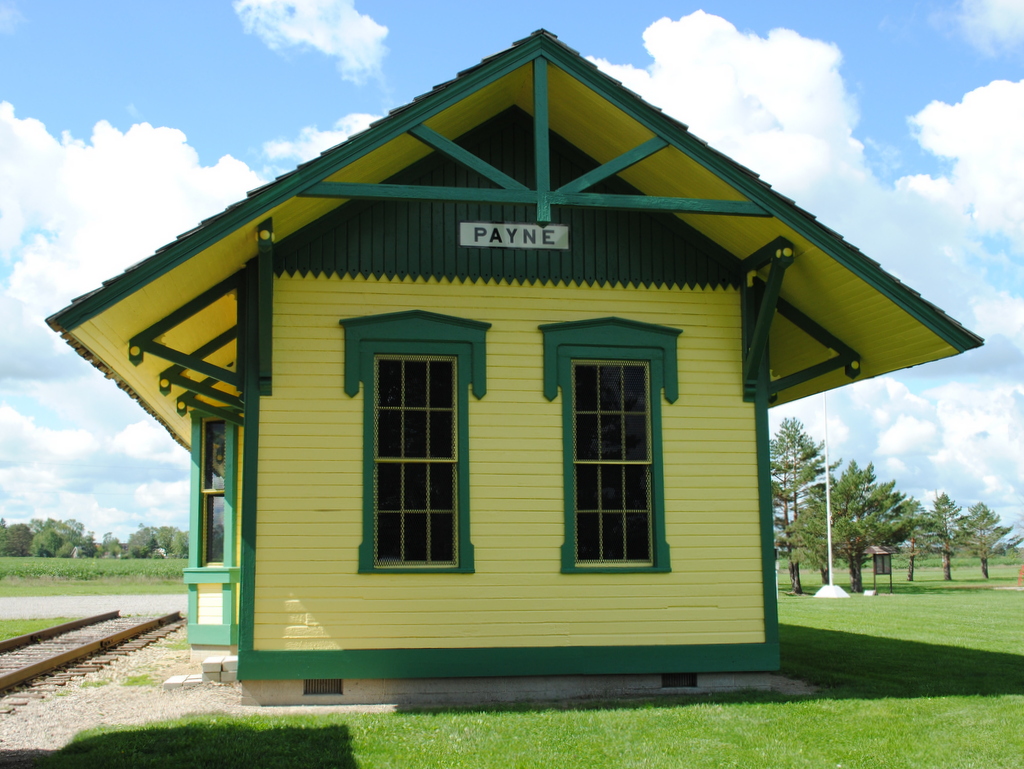
Preserved_Payne-OH_Depot-NKP411_081712-2
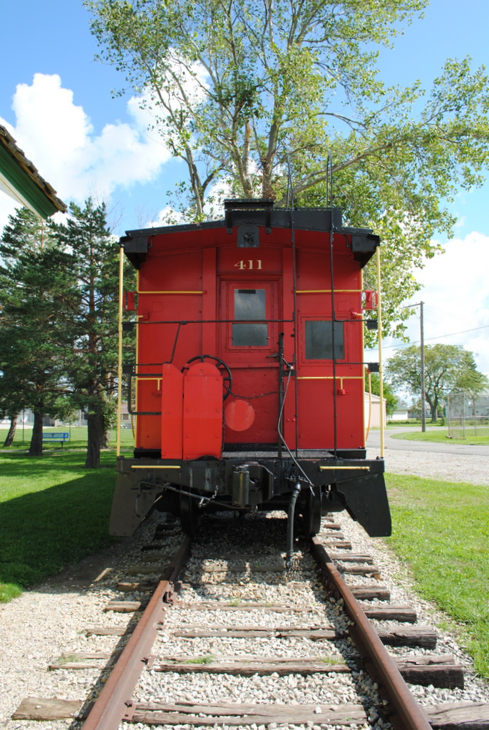
Preserved_Payne-OH_NKP411_081712-2

From Mom's Room

State Line Sunset
41° 11' 15.8" N 84° 45' 4.4" W0.02014:04:21 14:37:4214:37:42IMG_4137
ACRES Blue Cast Sptings Preserve(6)
41° 11' 19.6" N 84° 44' 26.5" W0.02014:04:21 15:08:2915:08:29IMG_4165
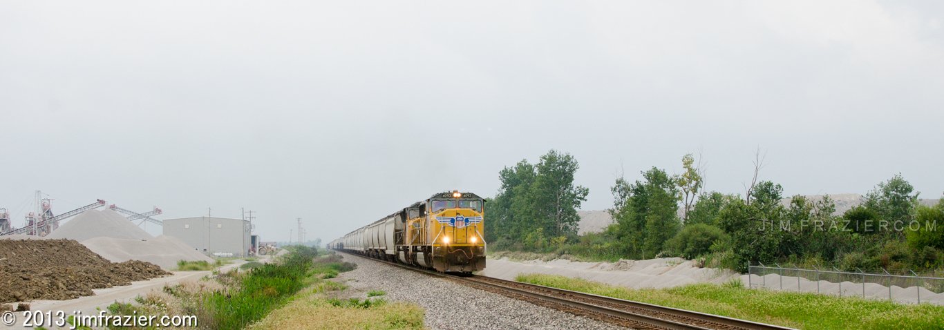
How can you fail to appreciate the beauty and grandeur of a train rolling through a gravel pit in northeastern Indiana on a gray summer day?
October Sky, Woodburn IN

Dedicated to Mom
41° 11' 50.8" N 84° 44' 19.8" W0.02014:04:21 14:58:0414:58:04IMG_4153

Driving Home to INDIANA

simply wheat
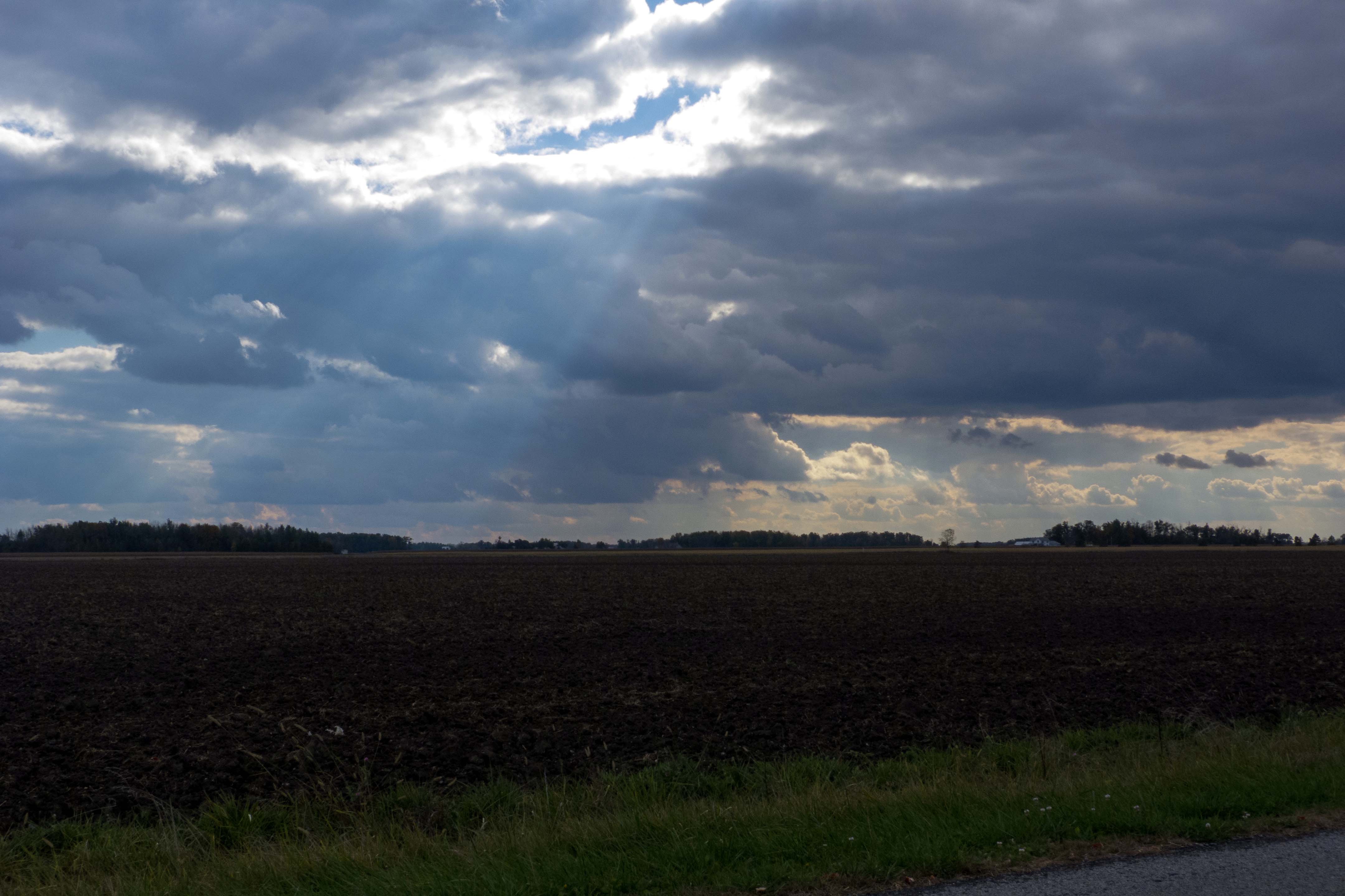
Indiana Sky, Woodburn IN
41° 11' 4.7" N 84° 45' 6.1" W0.02014:04:21 14:34:4614:34:46IMG_4136
41° 11' 13.2" N 84° 44' 17.9" W0.02014:04:21 15:11:1215:11:12IMG_4169
41° 8' 34.1" N 84° 46' 33.7" W0.02014:04:21 13:50:2913:50:29IMG_4113
41° 9' 14.0" N 84° 46' 27.0" W0.02014:04:21 14:01:0314:01:03IMG_4118

Dedicated to Mom
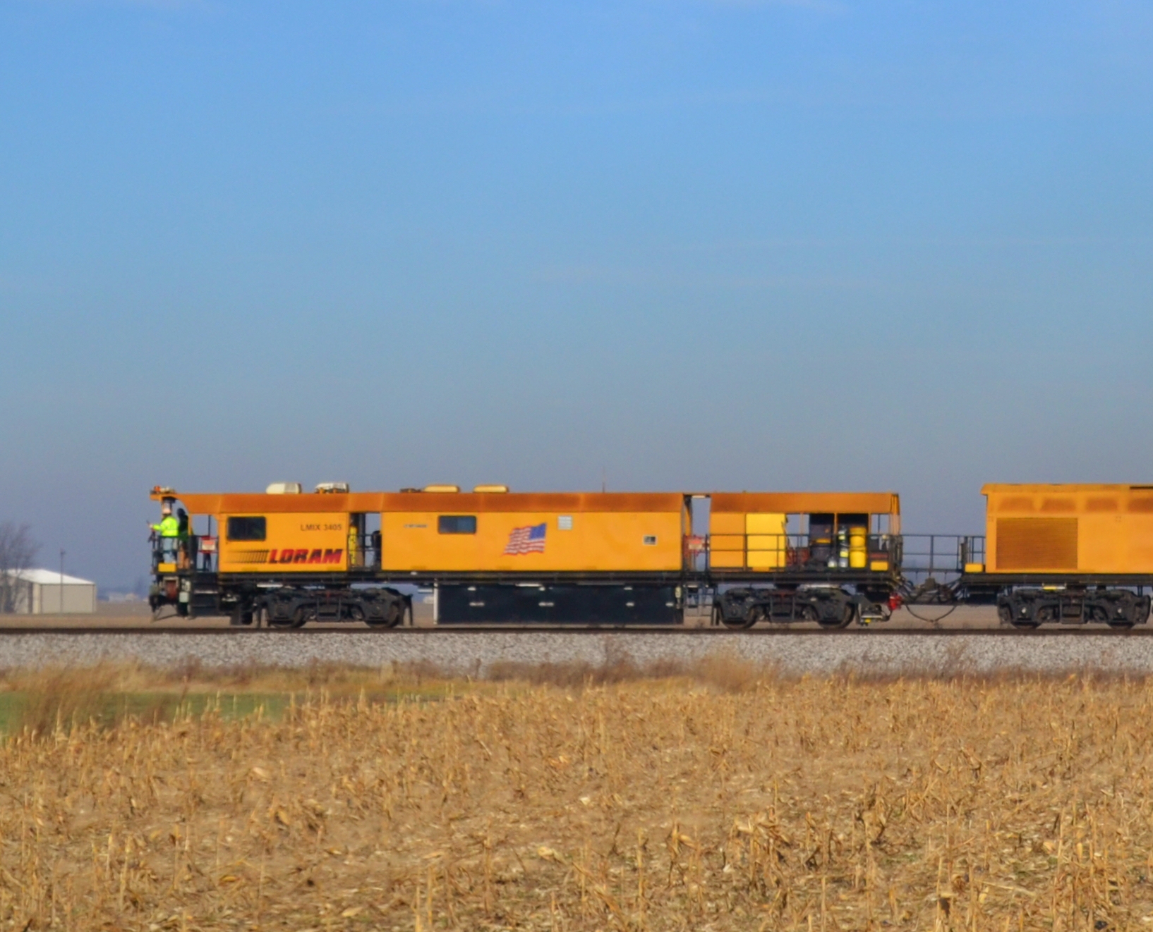
Loram Rail Grinder
41° 11' 3.5" N 84° 46' 21.0" W0.02014:04:21 14:02:2114:02:21IMG_4119
41° 10' 50.4" N 84° 46' 25.4" W0.02014:04:21 14:06:1114:06:11IMG_4121
41° 11' 12.9" N 84° 44' 16.7" W0.02014:04:21 15:11:2615:11:26IMG_4173
41° 11' 20.9" N 84° 45' 2.3" W0.02014:04:21 14:39:1614:39:16IMG_4140
Topographic Map of Payne, OH, USA
Find elevation by address:

Places in Payne, OH, USA:
Places near Payne, OH, USA:
Meadowlark Ln, Payne, OH, USA
Benton Township
Co Rd 17, Payne, OH, USA
Centre St, Woodburn, IN, USA
Jackson Township
2360 Werner Rd
2360 Werner Rd
Woodburn
Monroe Township
Lincoln Hwy, Monroeville, IN, USA
IN-, Monroeville, IN, USA
Ternet Rd, Monroeville, IN, USA
Monroeville
Main St, Monroeville, IN, USA
Parent Rd, New Haven, IN, USA
Jefferson Township
Franke Rd, Fort Wayne, IN, USA
Tanglewood Dr, New Haven, IN, USA
Korte Does It All, Inc
New Haven
Recent Searches:
- Elevation of Lampiasi St, Sarasota, FL, USA
- Elevation of Elwyn Dr, Roanoke Rapids, NC, USA
- Elevation of Congressional Dr, Stevensville, MD, USA
- Elevation of Bellview Rd, McLean, VA, USA
- Elevation of Stage Island Rd, Chatham, MA, USA
- Elevation of Shibuya Scramble Crossing, 21 Udagawacho, Shibuya City, Tokyo -, Japan
- Elevation of Jadagoniai, Kaunas District Municipality, Lithuania
- Elevation of Pagonija rock, Kranto 7-oji g. 8"N, Kaunas, Lithuania
- Elevation of Co Rd 87, Jamestown, CO, USA
- Elevation of Tenjo, Cundinamarca, Colombia