Elevation of Park St, Waskada, MB R0M 2E0, Canada
Location: Canada > Manitoba > Division No. 5 >
Longitude: -100.80264
Latitude: 49.0976634
Elevation: 471m / 1545feet
Barometric Pressure: 96KPa
Elevation Map:
Satellite Map:
Related Photos:
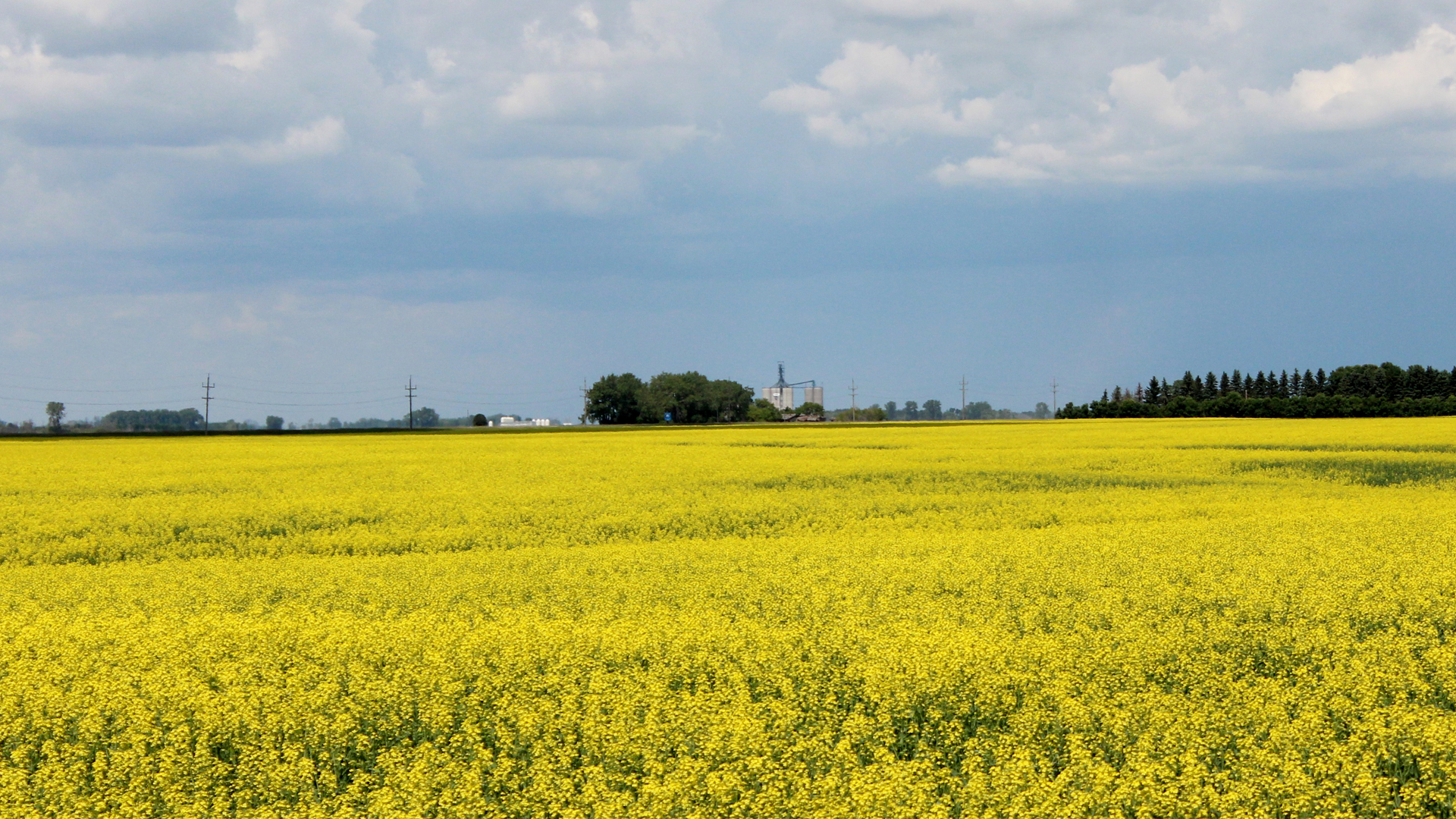
Canola Field, Sharlene Bennie of Waskada
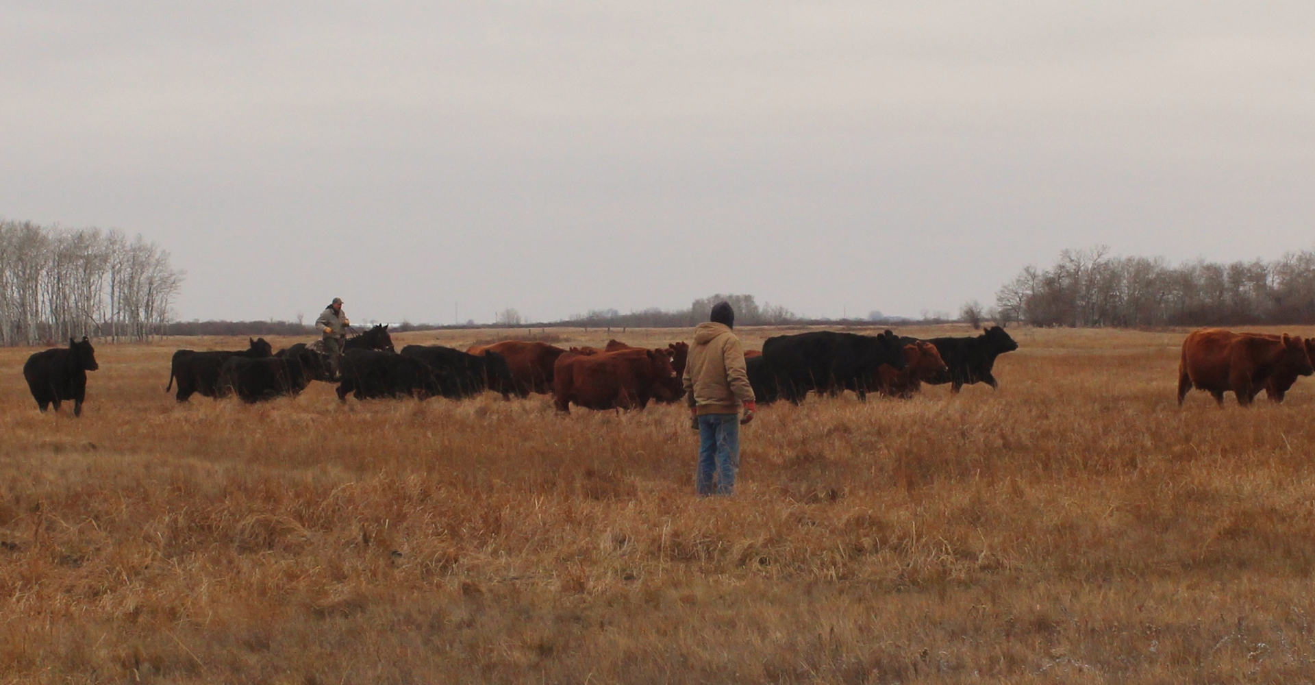
Round Up, Sharlene Bennie of Waskada MB
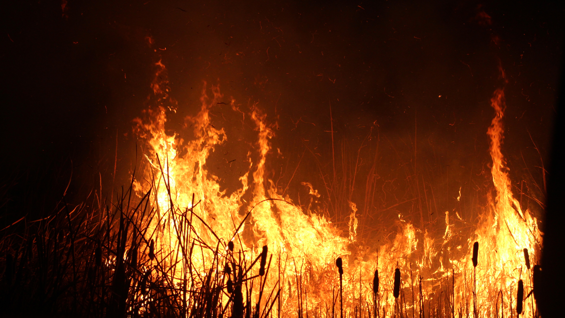
Burning the Cat Tails, Sharlene Bennie of Waskada, Manitoba
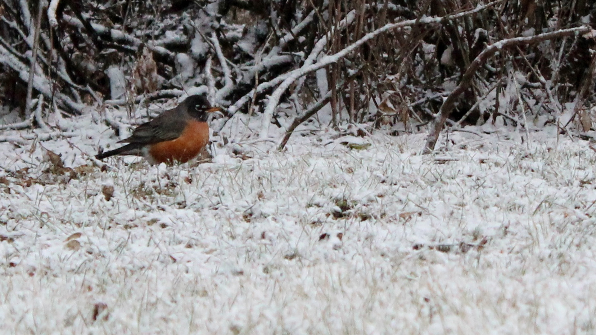
Darn Snow! Sharlene Bennie of Waskada, MB
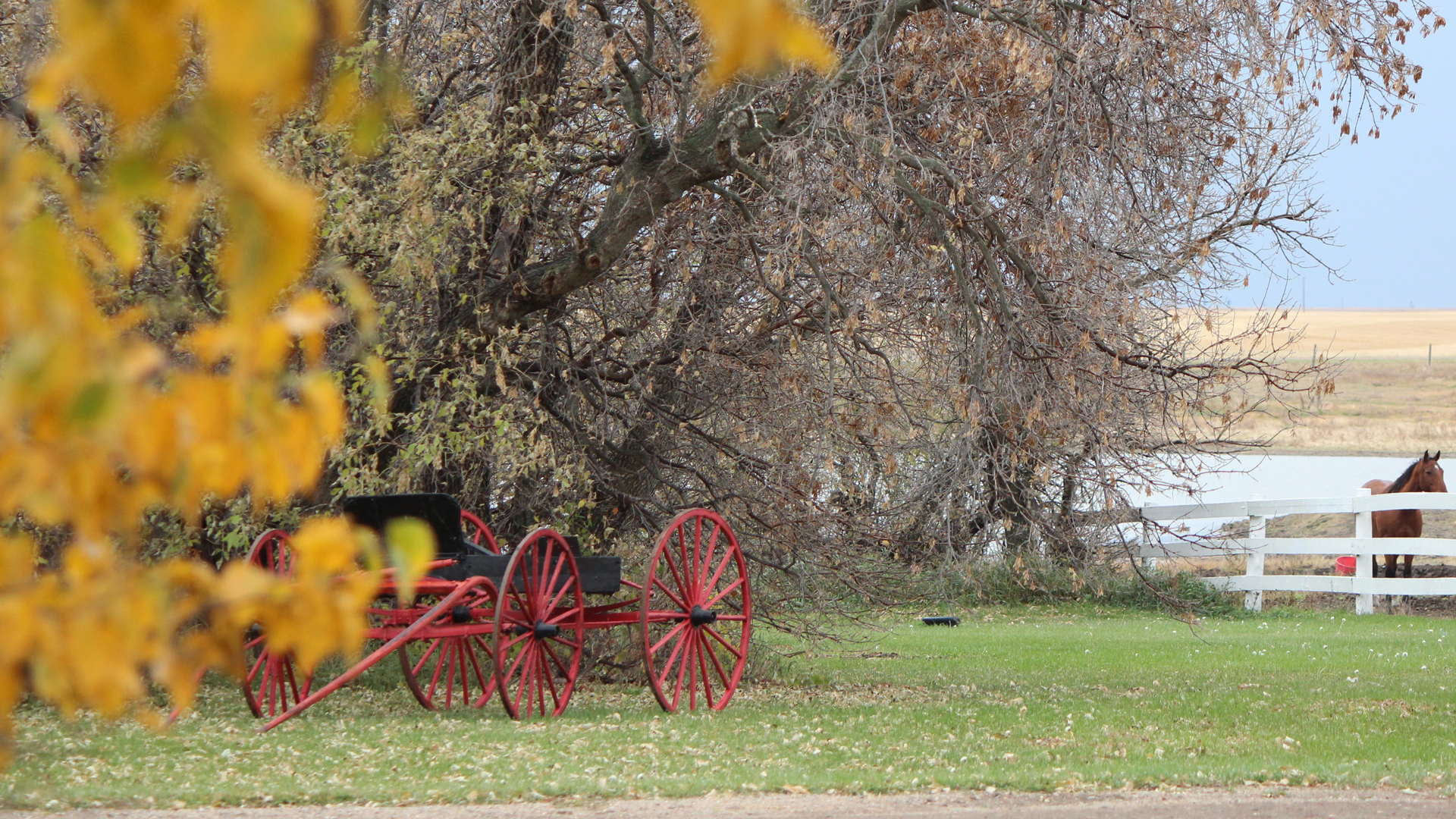
Fall, Sharlene Bennie of Waskada, MB
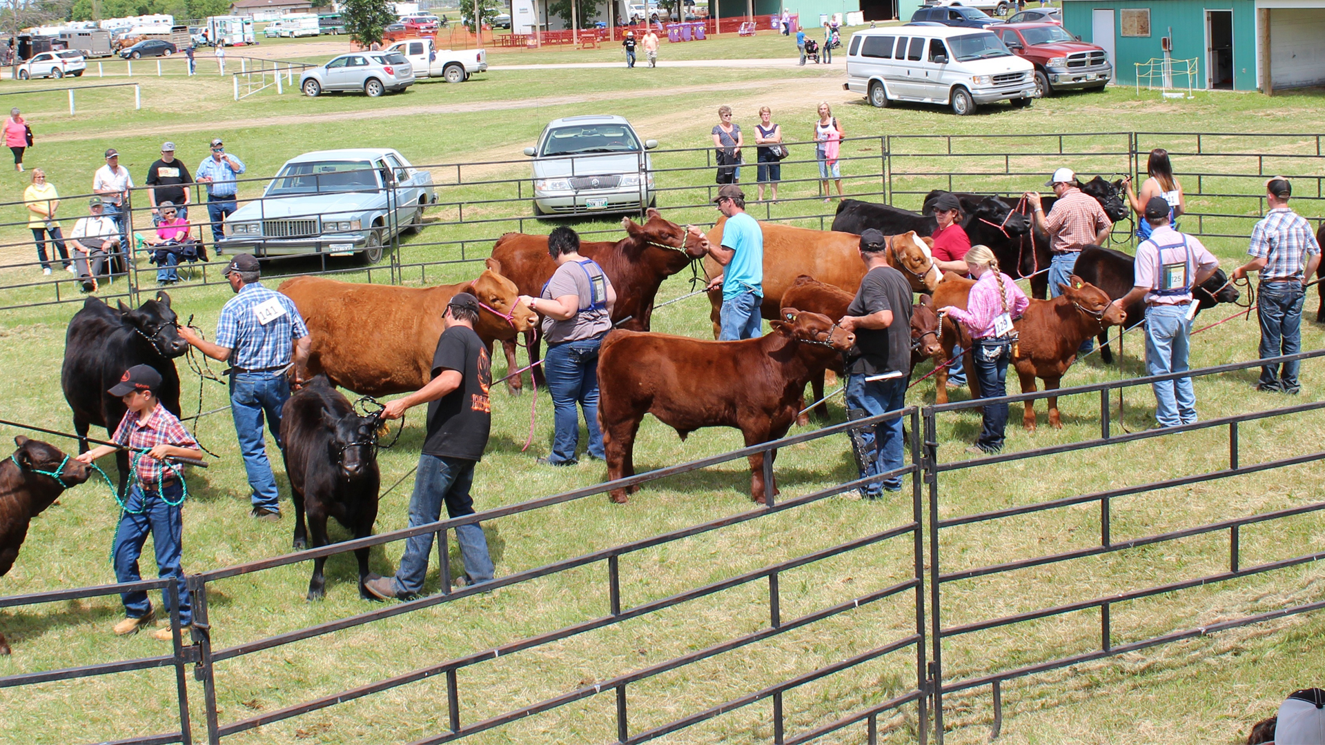
Fun at the Fair, Sharlene Bennie of Waskada MB

Geese in Flight, Sharlene Bennie of Waskada, MB

Honey Bees, Sharlene Bennie of Waskada, MB
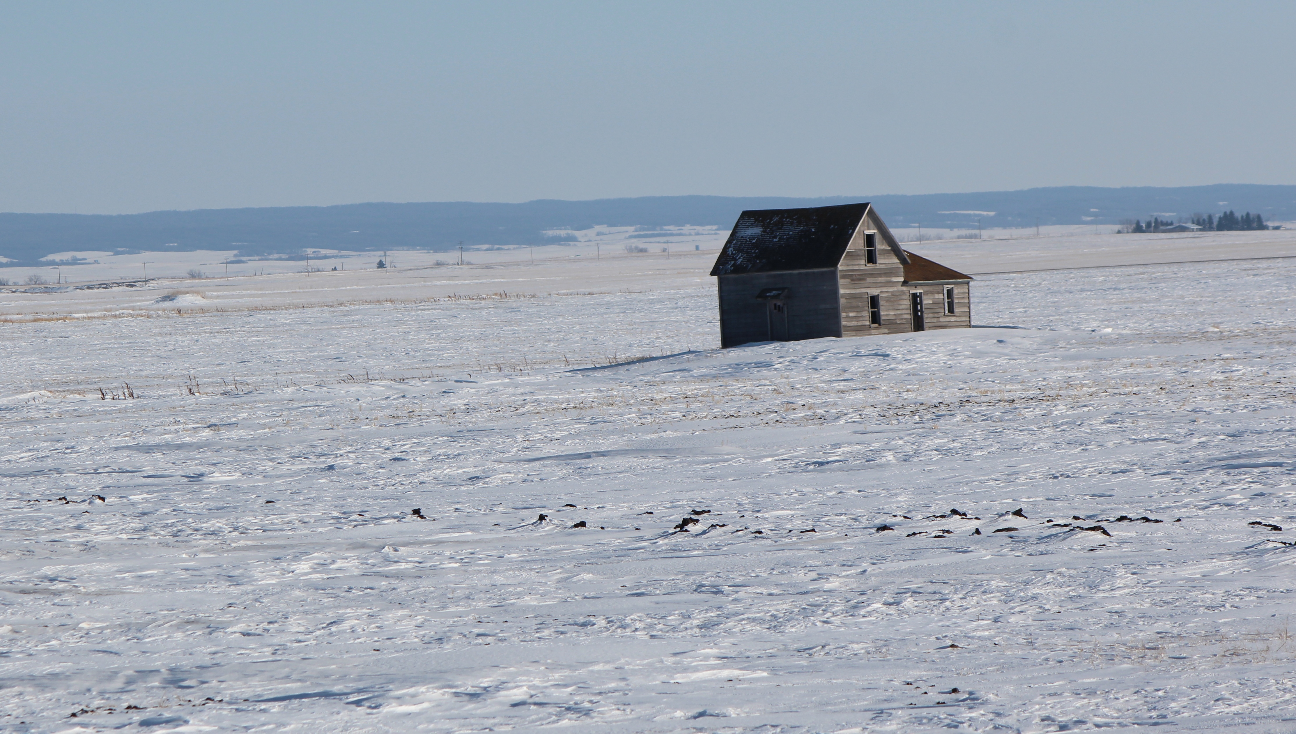
Lonely House on the Prairie, Sharlene Bennie of Waskada, MB
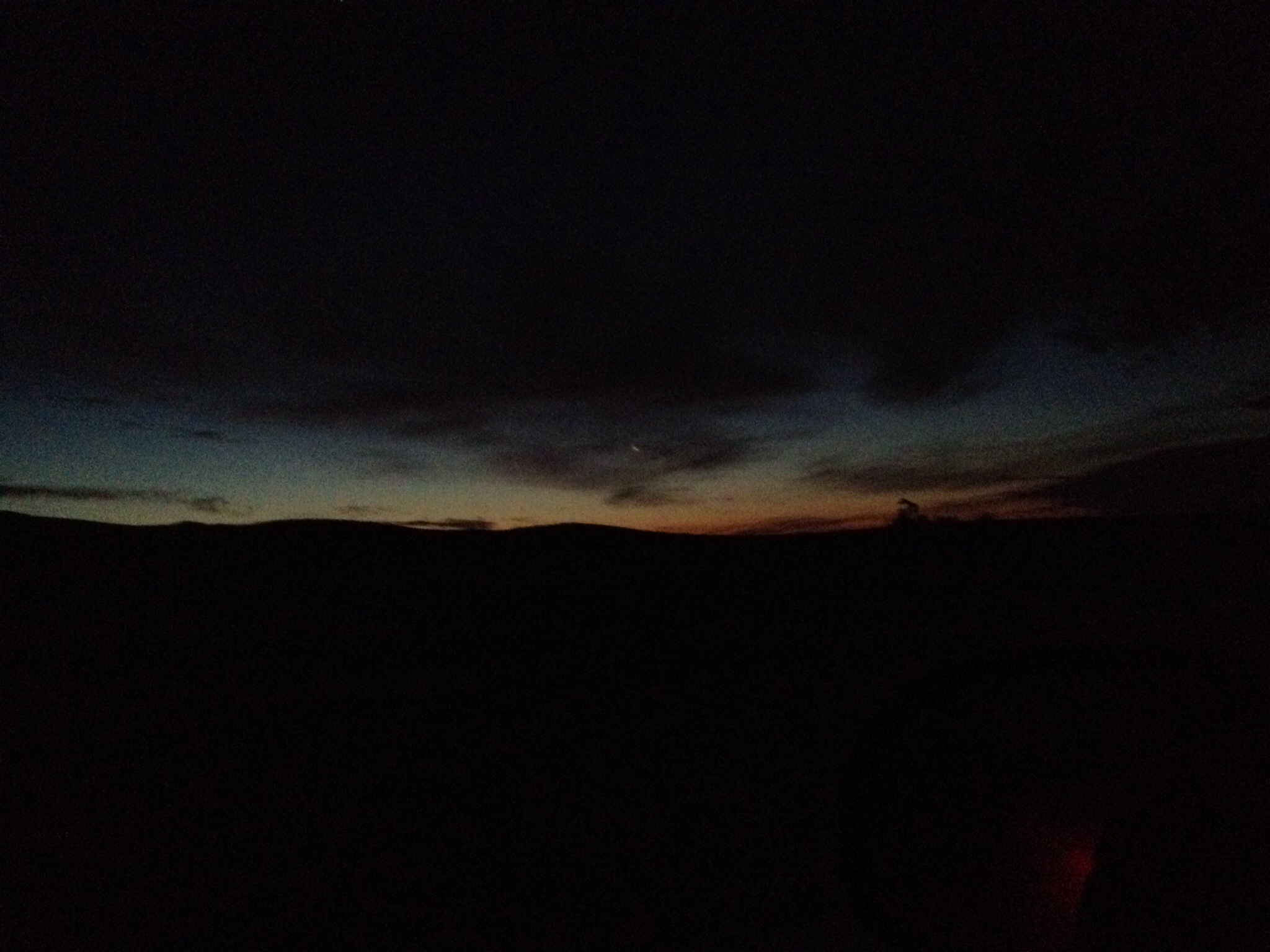
Spring Sunset, Sharlene Bennie of Waskada MB
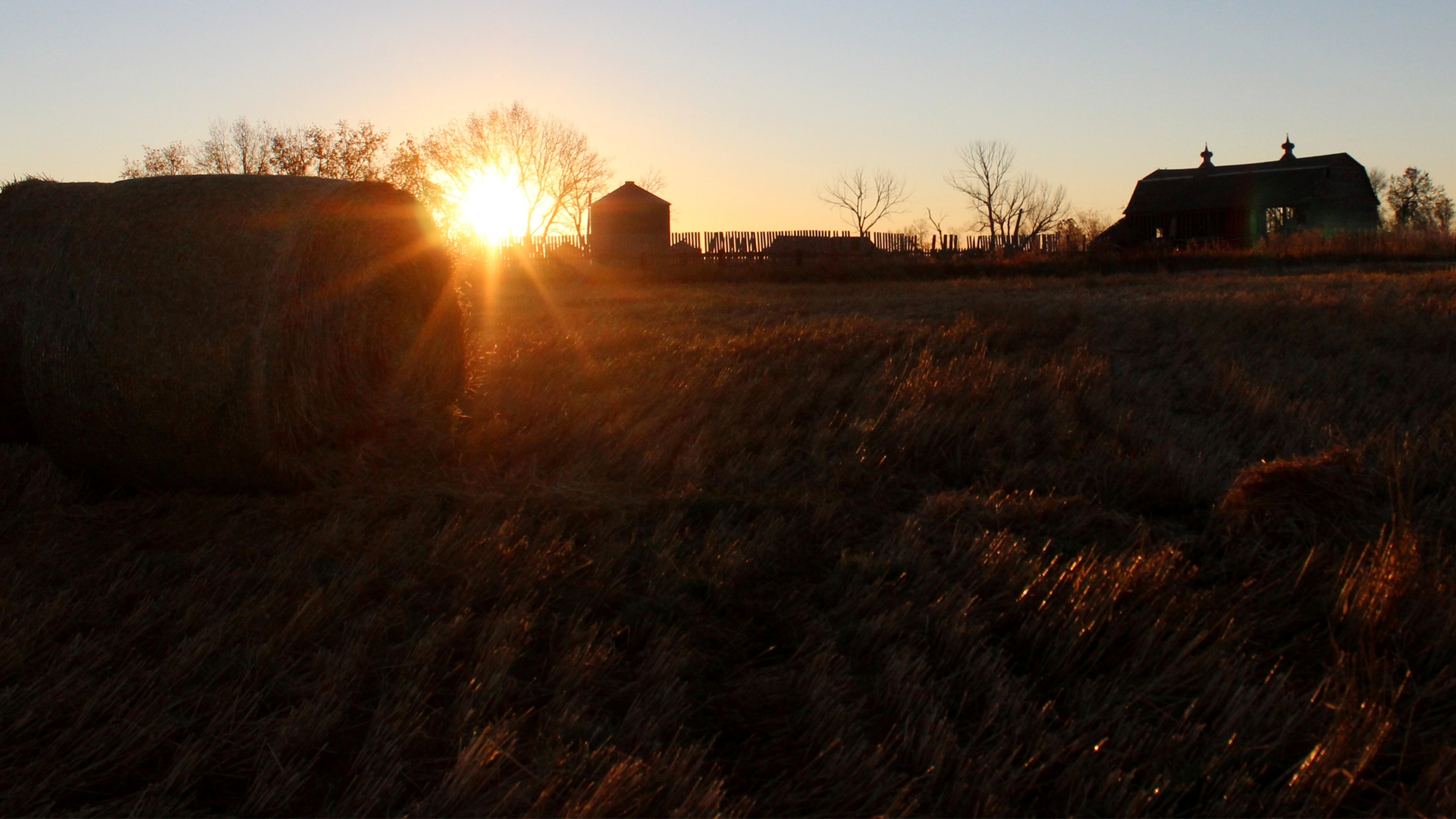
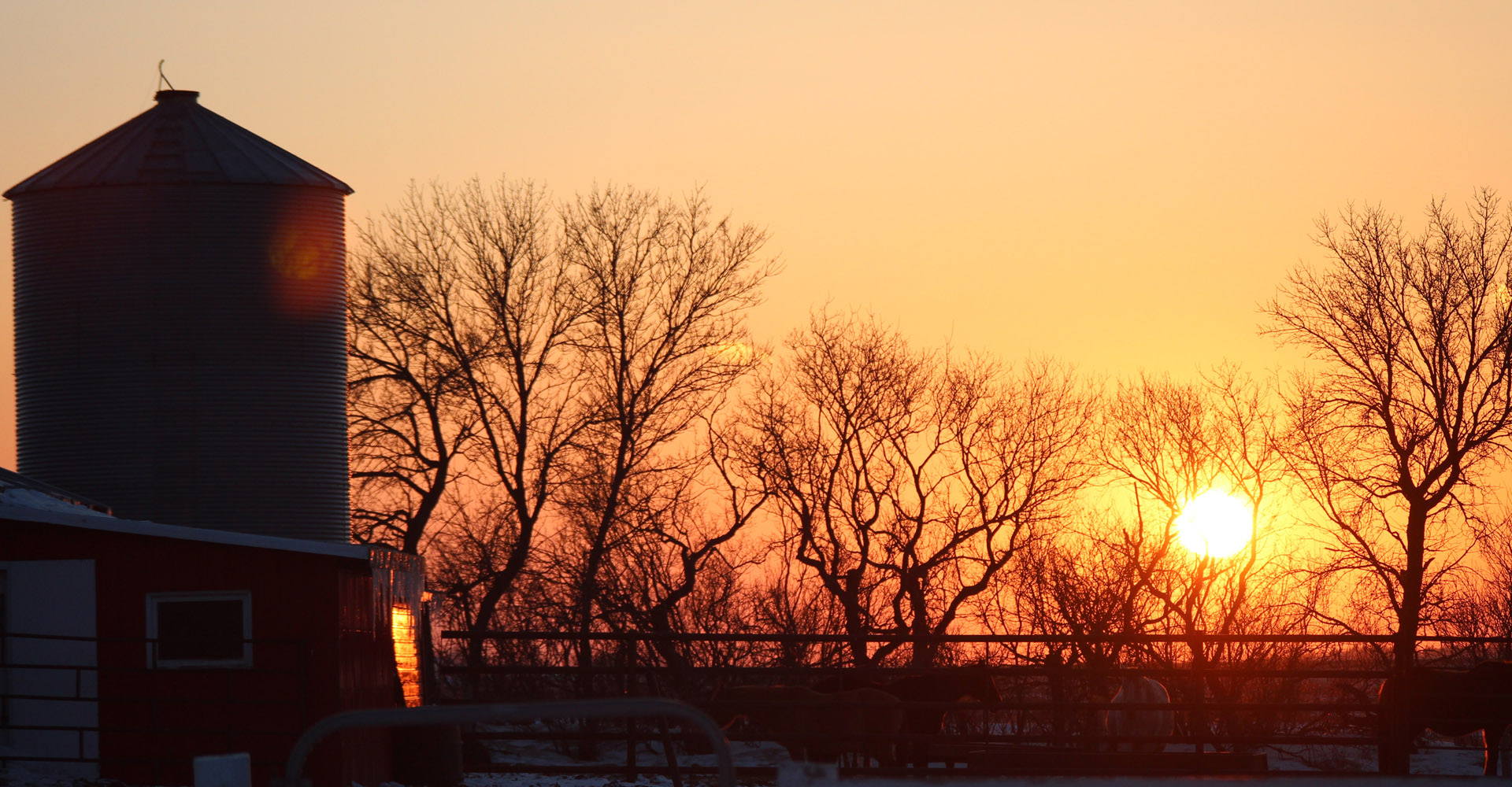
Sunrise on an Old Loved Barn, Sharlene Bennie of Waskada
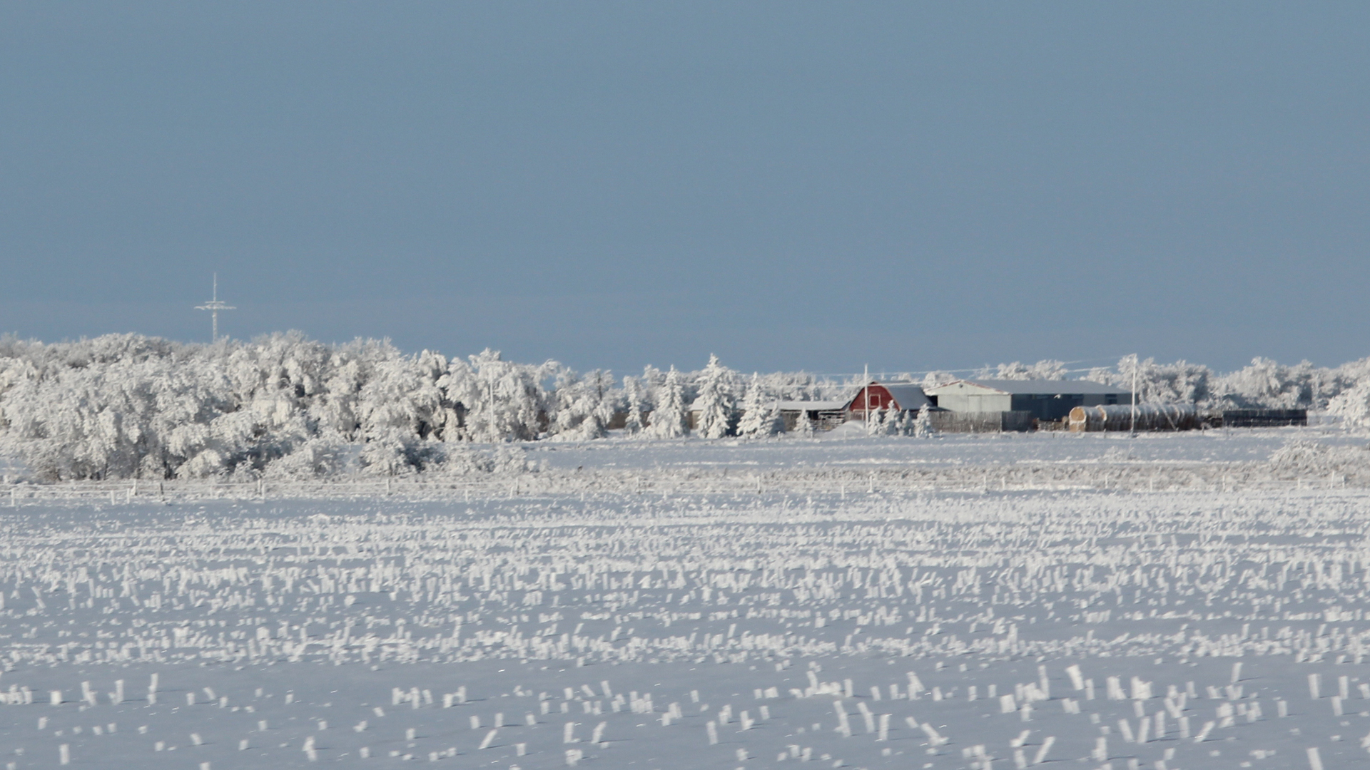
Winter Wonderland, Sharlene Bennie, Waskada MB
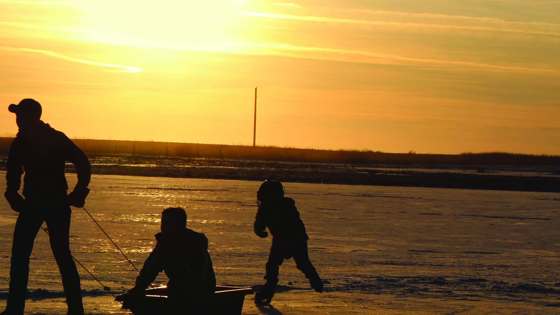
Fun on the Pond, Sharlene Bennie of Waskada, MB
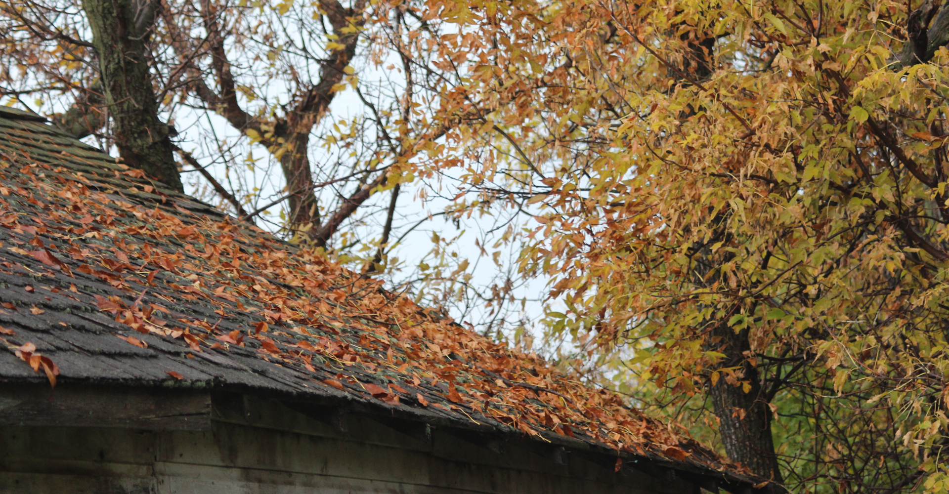
Autumn, Sharlene Bennie of Waskada
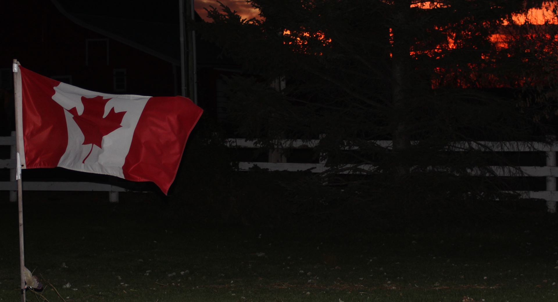
As the Sun Goes Down, Sharlene Bennie of Waskada, Manitoba

Great Horned Owl and 2 owlets 5D3_0514-2
100 day

100 day

Épave du Cessna 210 près de Waskada MB
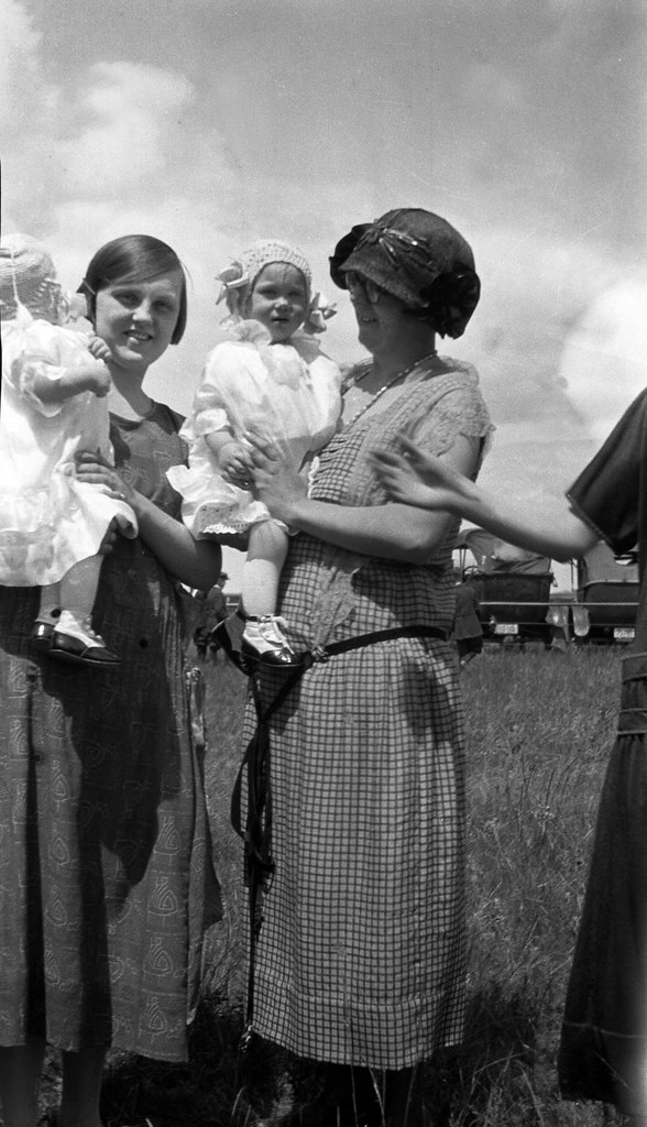
Luella and ?
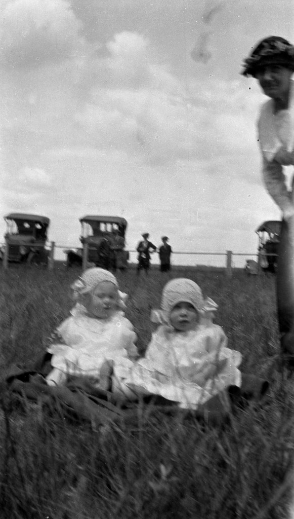
Babes and cars
Topographic Map of Park St, Waskada, MB R0M 2E0, Canada
Find elevation by address:

Places near Park St, Waskada, MB R0M 2E0, Canada:
Waskada
Brenda
11 Murray St, Goodlands, MB R0M 0R0, Canada
Rose Ave, Deloraine, MB R0M 0M0, Canada
Bottineau County
Deloraine
Main St, Bottineau, ND, USA
Bottineau
621 Thompson St
Turtle Mountains
Meadow
Upham
71st Street North
Saline
N 5th Ave, Glenburn, ND, USA
Glenburn
Mchenry County
Deering
Peace Garden Avenue
Dunseith
Recent Searches:
- Elevation of Calais Dr, Del Mar, CA, USA
- Elevation of Placer Mine Ln, West Jordan, UT, USA
- Elevation of E 63rd St, New York, NY, USA
- Elevation of Elk City, OK, USA
- Elevation of Erika Dr, Windsor, CA, USA
- Elevation of Village Ln, Finleyville, PA, USA
- Elevation of 24 Oakland Rd #, Scotland, ON N0E 1R0, Canada
- Elevation of Deep Gap Farm Rd E, Mill Spring, NC, USA
- Elevation of Dog Leg Dr, Minden, NV, USA
- Elevation of Dog Leg Dr, Minden, NV, USA